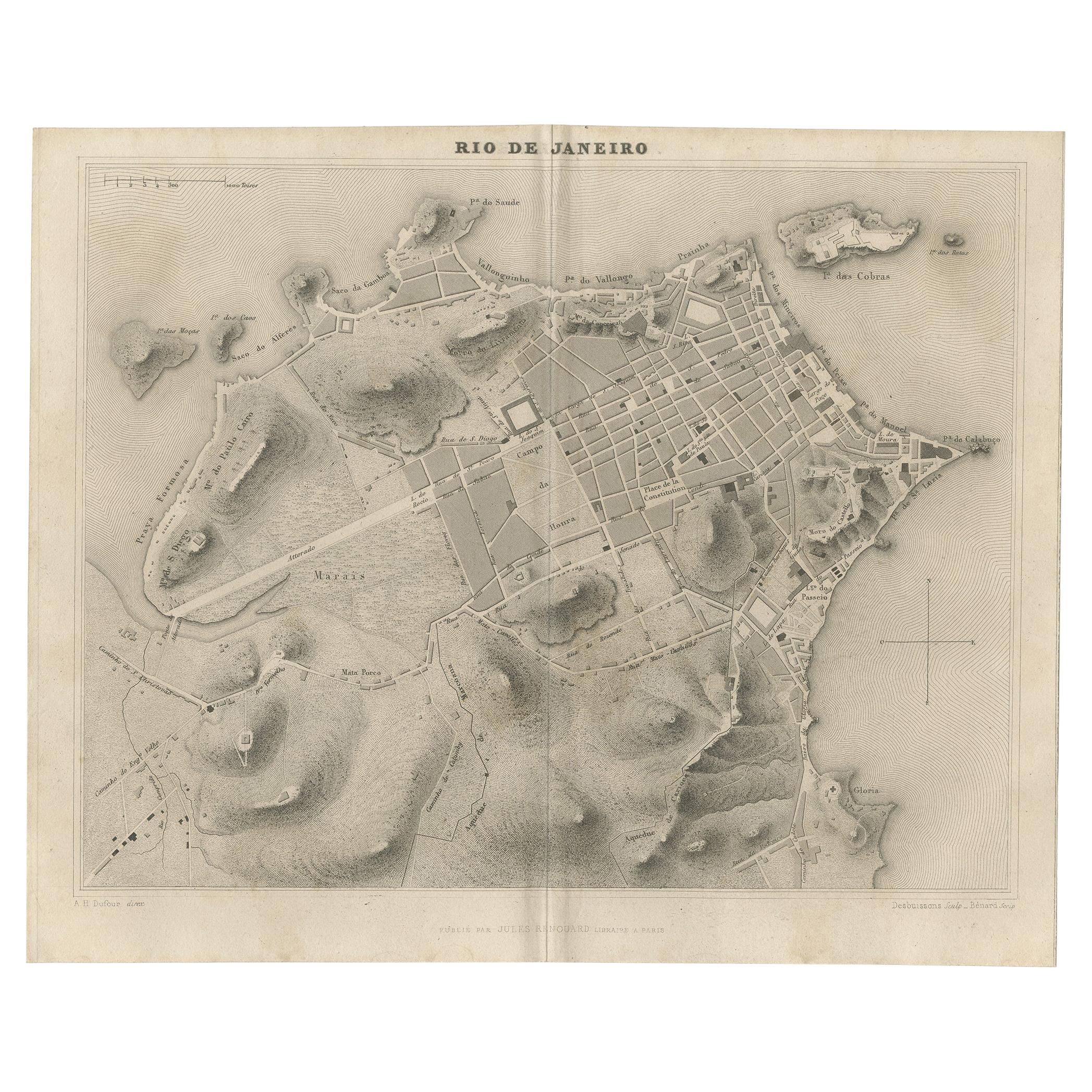
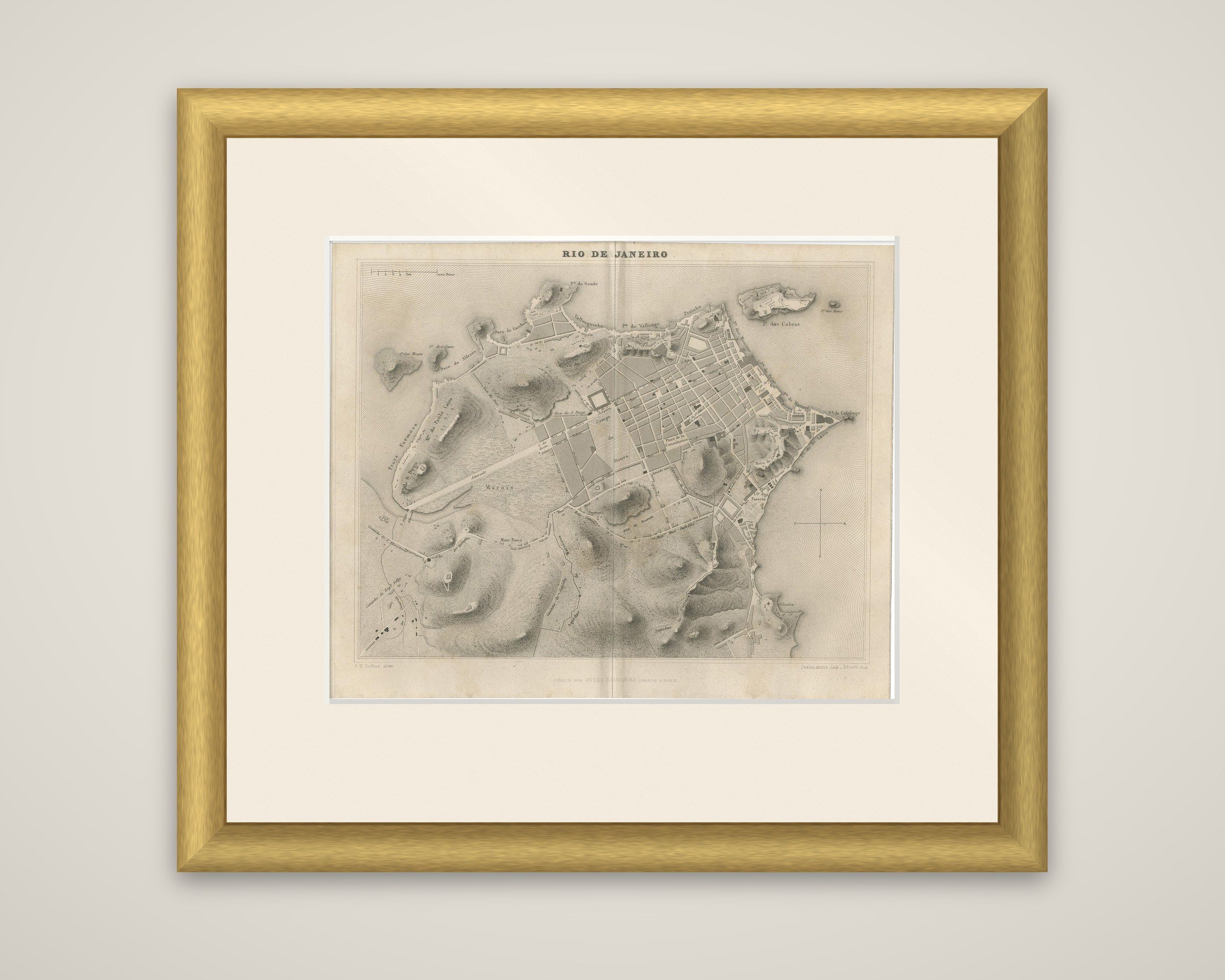
Antique Map of the City of Rio de Janeiro by Balbi '1847'
€ 240
Original antique · The actual sheet photographed · Certificate of authenticity on request · Sold unframed · Worldwide shipping from € 15 (rates)
Date
1847
Sheet size
23 × 28.5 cm (9.1 × 11.2 in)
Condition
Good
Reference
BG-12783-9
What the condition grades mean
Excellent
Bright and clean, with no faults worth mentioning.
Very good
Only light signs of age, such as faint toning.
Good
Normal signs of age for a sheet of this period: toning, some foxing, small marks or neat old repairs.
Fair
Clear faults such as staining, tears or repairs, priced to match.
Every fault we see is written in the condition note, and the whole sheet is shown uncropped in the photos.
Condition
General age-related toning, original folding line. Minor wear, blank verso. Please review the images for further condition details.
About this sheet
A plan of the city of Rio de Janeiro from Adrien Balbi's Abrege de Geographie, published in Paris by Jules Renouard in 1847. The sheet is an original steel engraving printed in black, with the title "Rio de Janeiro" at the top and the names of the draftsman and the engraver at the lower corners.
The plan shows the city on its tongue of land beside Guanabara Bay. A tight grid of streets fills the upper right, around the Campo de Santa Anna and the wharves along the shore, while hills are drawn in heavy shading across the south and west, and the long straight road across the marshes appears at the left. Place names include the Ilha das Cobras at the upper right and the point of Calabouco on the eastern edge, with Praya Formosa and the coastal heights at the left. A compass rose sits at the right and a scale at the upper left.