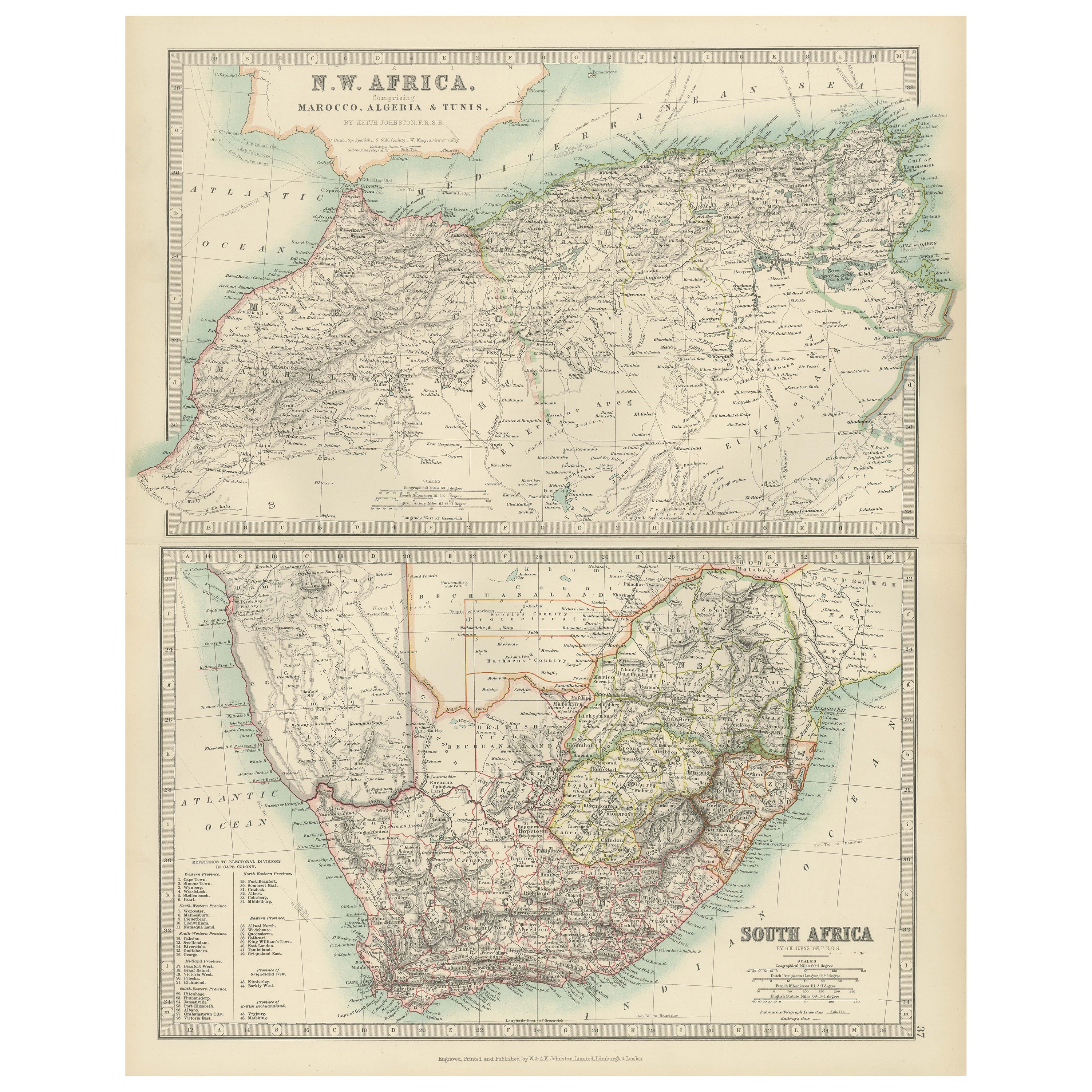
Antique Maps of North-West and South Africa, 1903, Colonial Borders and Terrain
€ 320
One of a kind: this is the sheet in the photographs. Ships from Langweer, the Netherlands.
Date
1903
Sheet size
47 × 36.8 cm (18.5 × 14.5 in)
Condition
Good
Reference
BG-13577-37
Condition
This map is in very good antique condition, with minor foxing and gentle toning along the edges, typical for its age. The colors remain vibrant and the paper is stable and well-preserved. Folding line as issued.
About this sheet
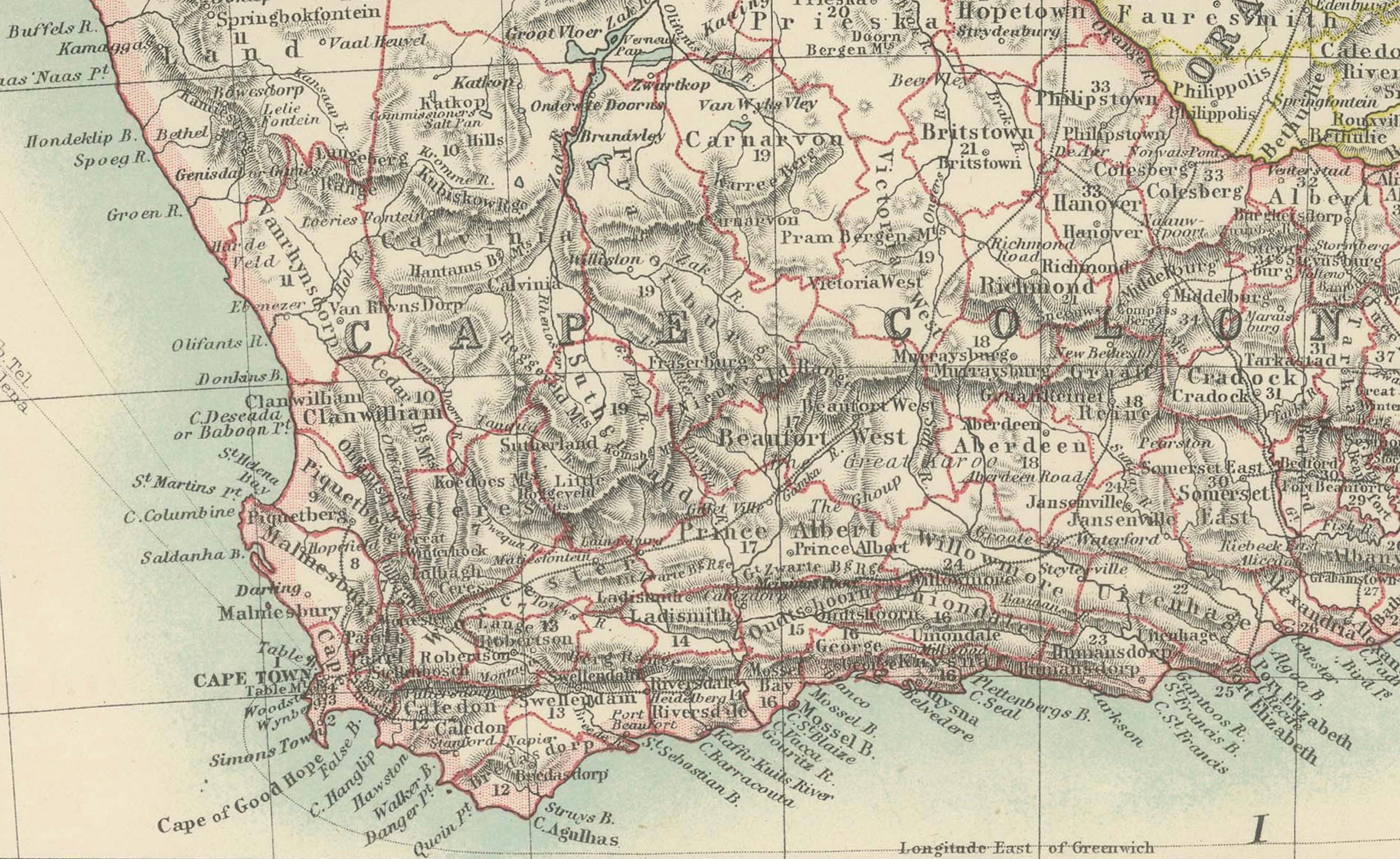
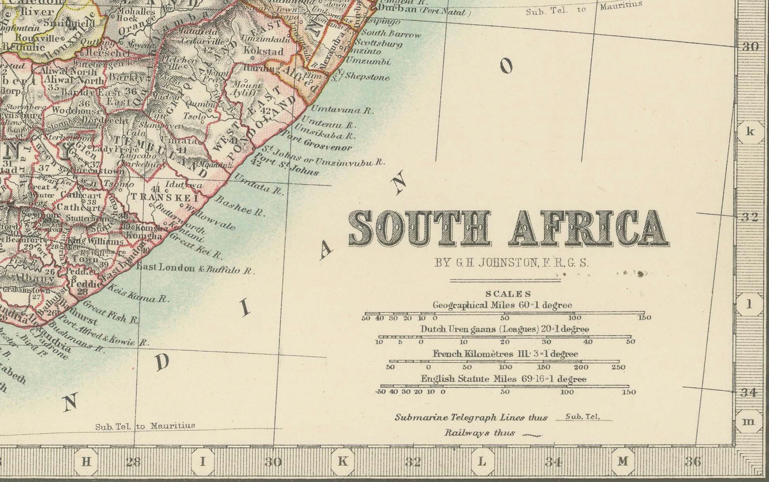
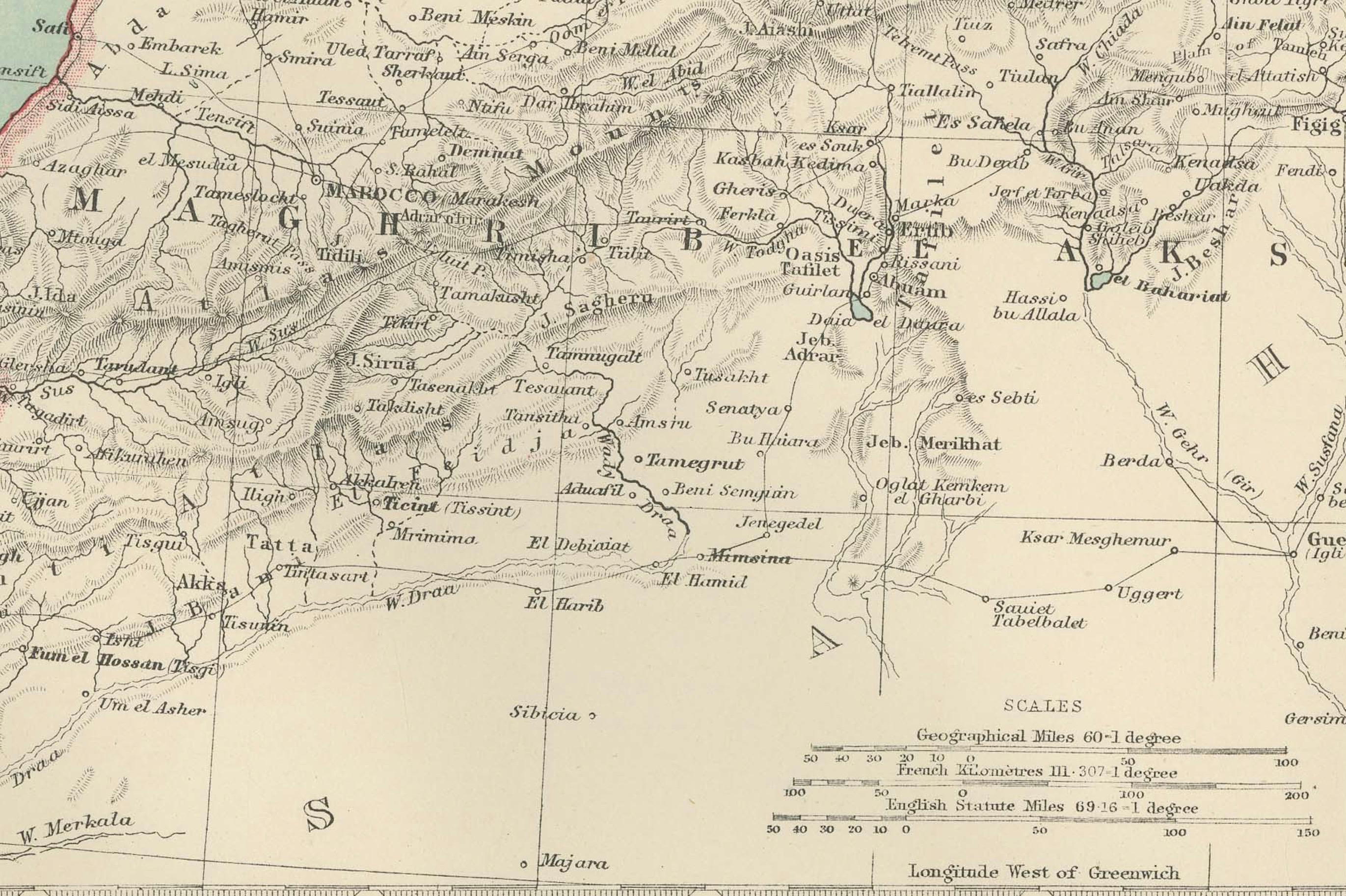
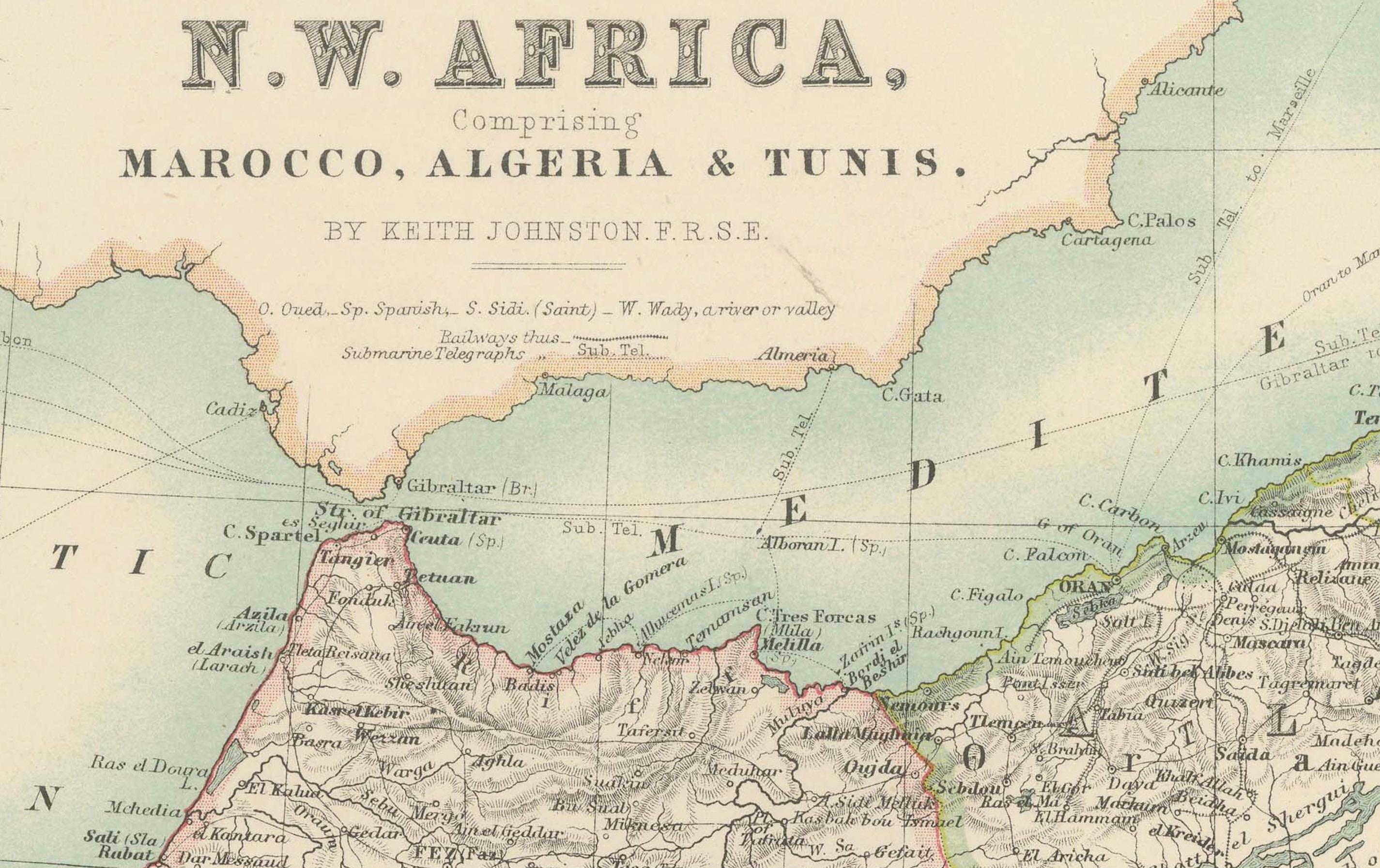
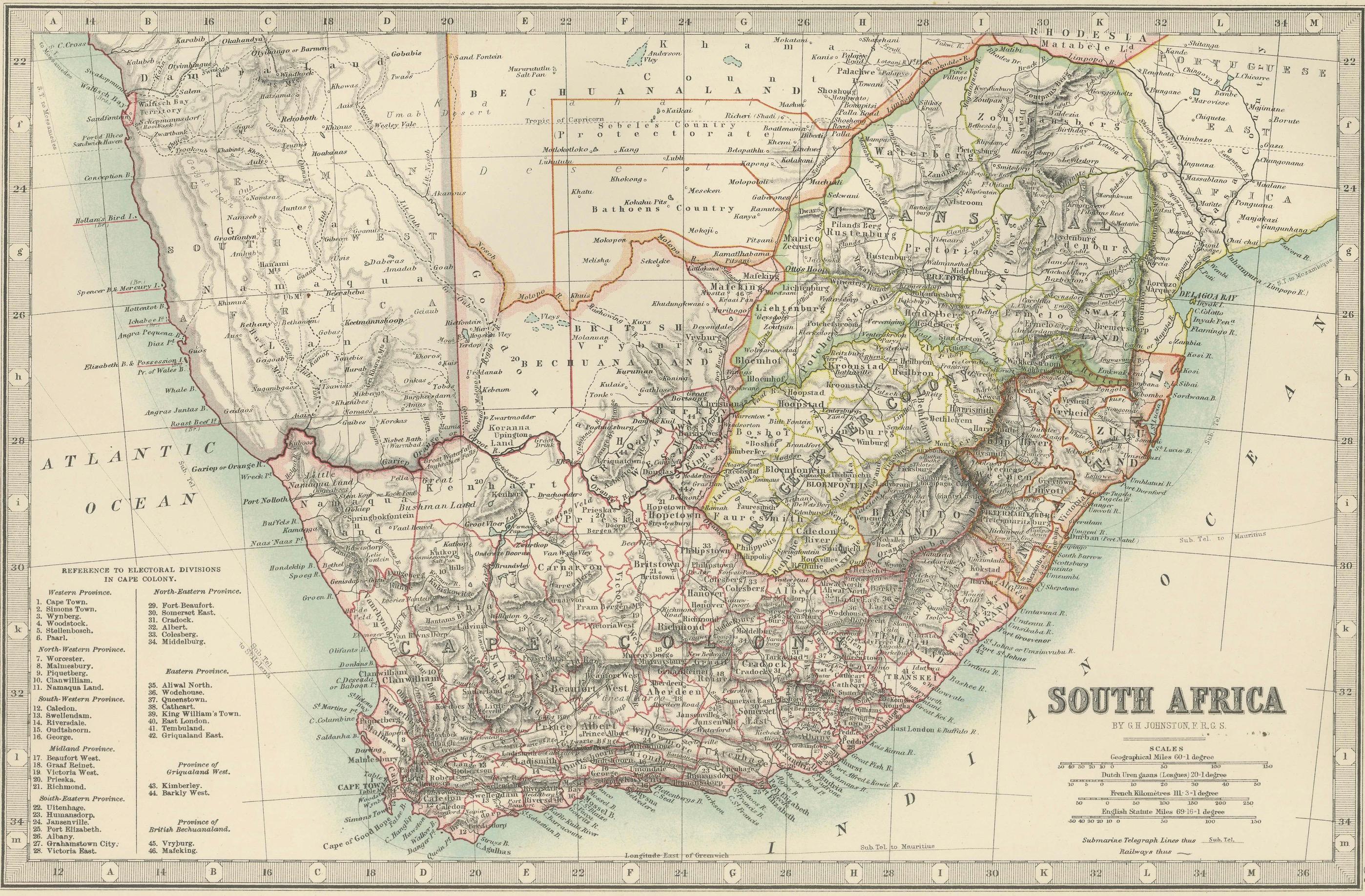
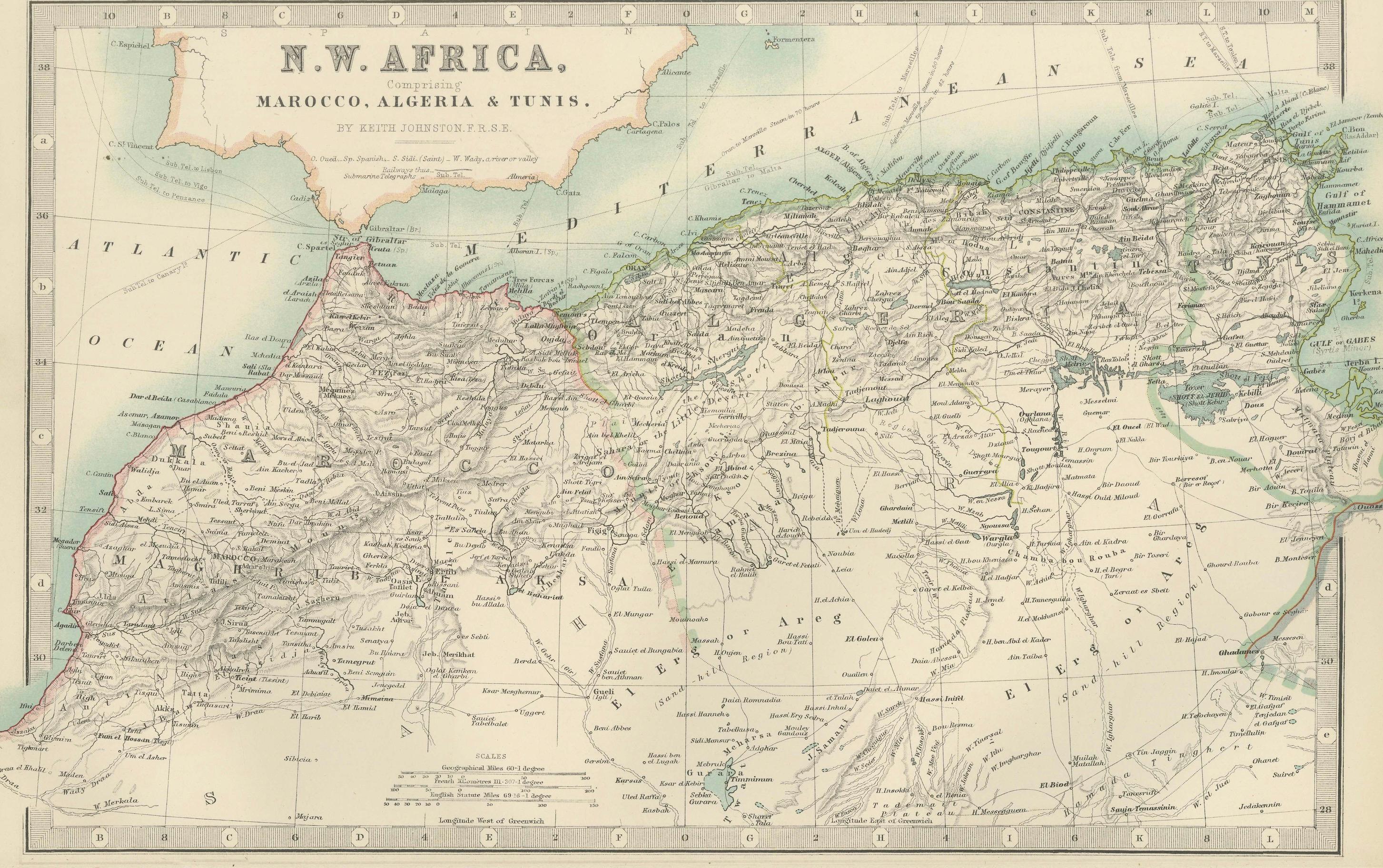
This double-plate antique map, featuring "N.W. Africa: Morocco, Algeria & Tunis" and "South Africa," was engraved and published in 1903 by W. & A.K. Johnston in Edinburgh and London. It presents a comprehensive view of the political and natural landscapes of Africa during a pivotal era of European colonial expansion.
The top half focuses on North-West Africa, highlighting the rugged terrain and significant urban centers of Morocco, Algeria, and Tunisia. The hand-coloring emphasizes the territorial divisions and mountain ranges, from the Atlas Mountains to the fertile coastal plains along the Mediterranean.
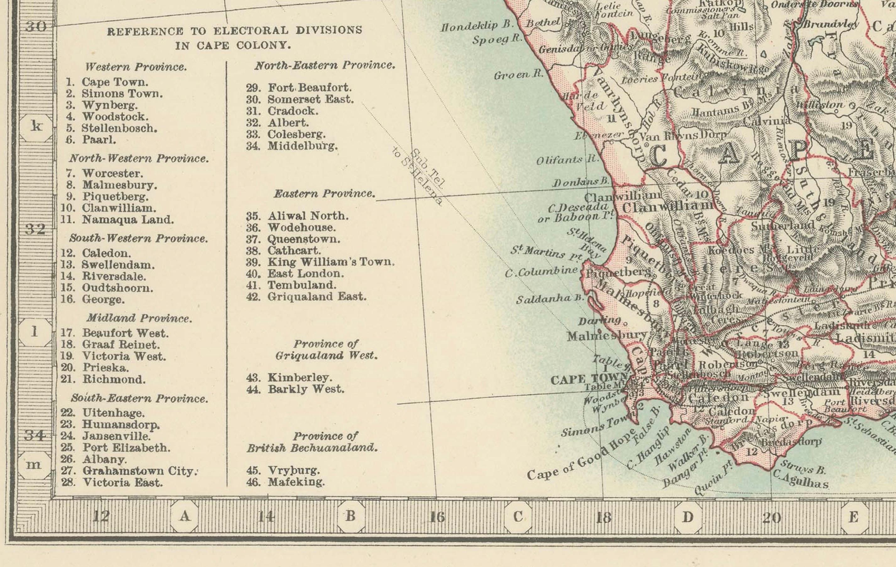
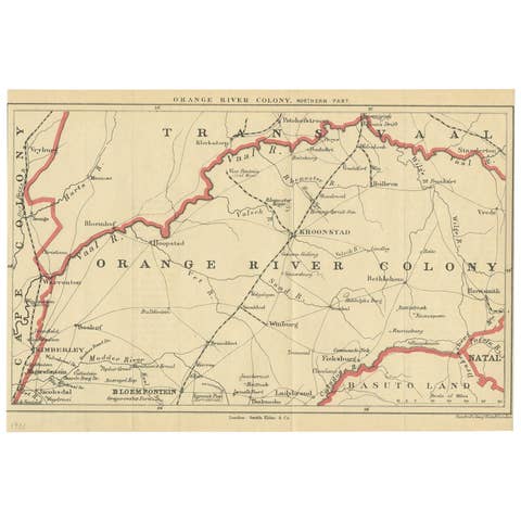
The bottom half of the map showcases South Africa, with clear depictions of the colonial territories of the Cape Colony, Natal, Transvaal, and the Orange Free State, as well as neighboring Bechuanaland (modern Botswana). Rivers, trade routes, and mineral resources are all meticulously noted, making this map a valuable historical record of the region’s natural and economic features during the early 20th century.
Collectors, historians, and those with a fascination for the geopolitical dynamics of Africa will find these maps to be both aesthetically appealing and historically rich—an exceptional resource for understanding Africa's colonial past and its long-standing geographical complexity.
Condition report: This double map is in very good antique condition, with only minor foxing and edge toning consistent with its age. The colors remain vivid and the paper is stable and well-preserved.
Framing tips: A classic wooden frame in walnut or cherry, paired with an off-white matting, will beautifully highlight the soft pastel colors and intricate details of the maps. Displayed together, they create an impressive and sophisticated focal point, perfect for a study, office, or library.