
Maps & PrintsBartele Gallery · Langweer
Home / Antique Maps / Africa

Africa · 20th century

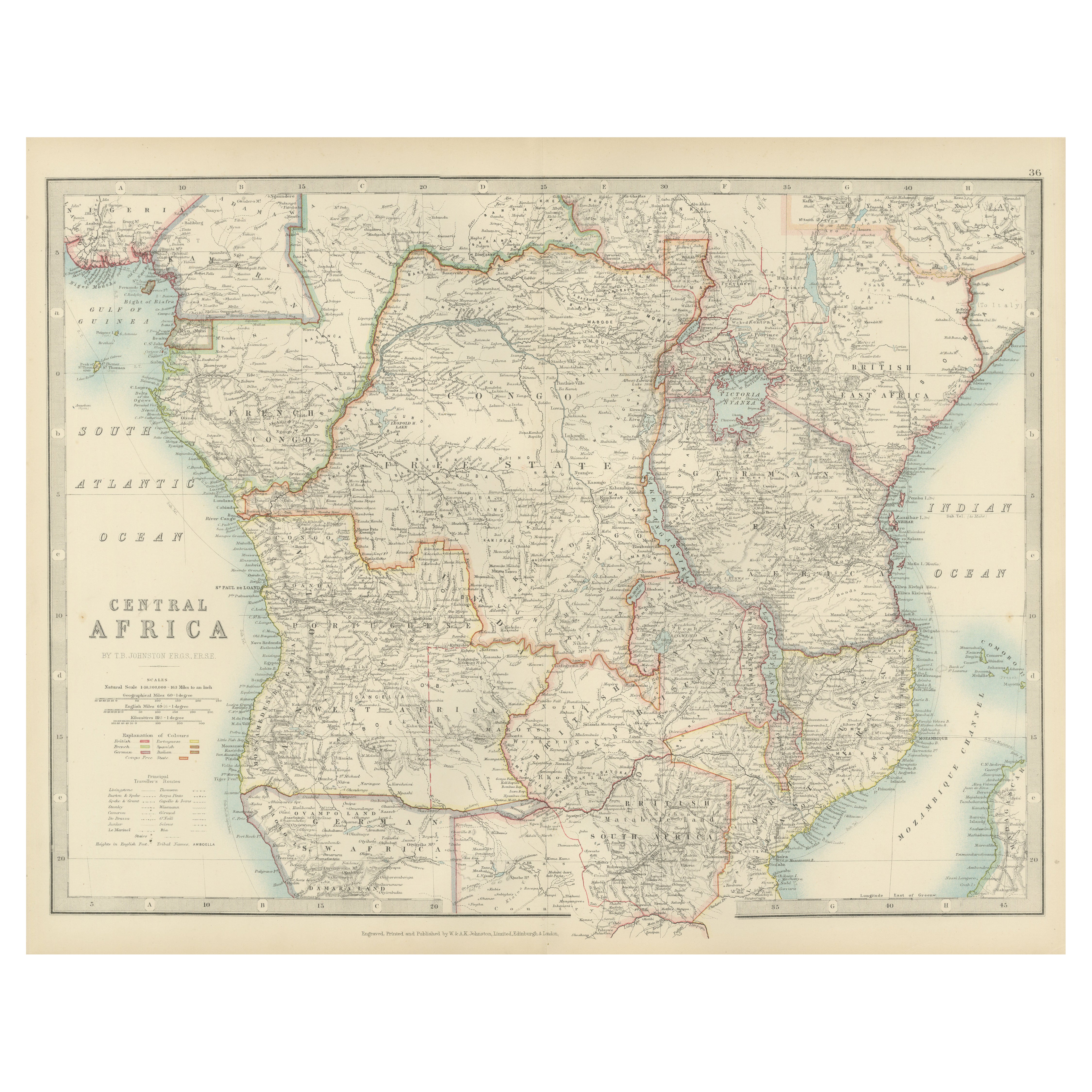
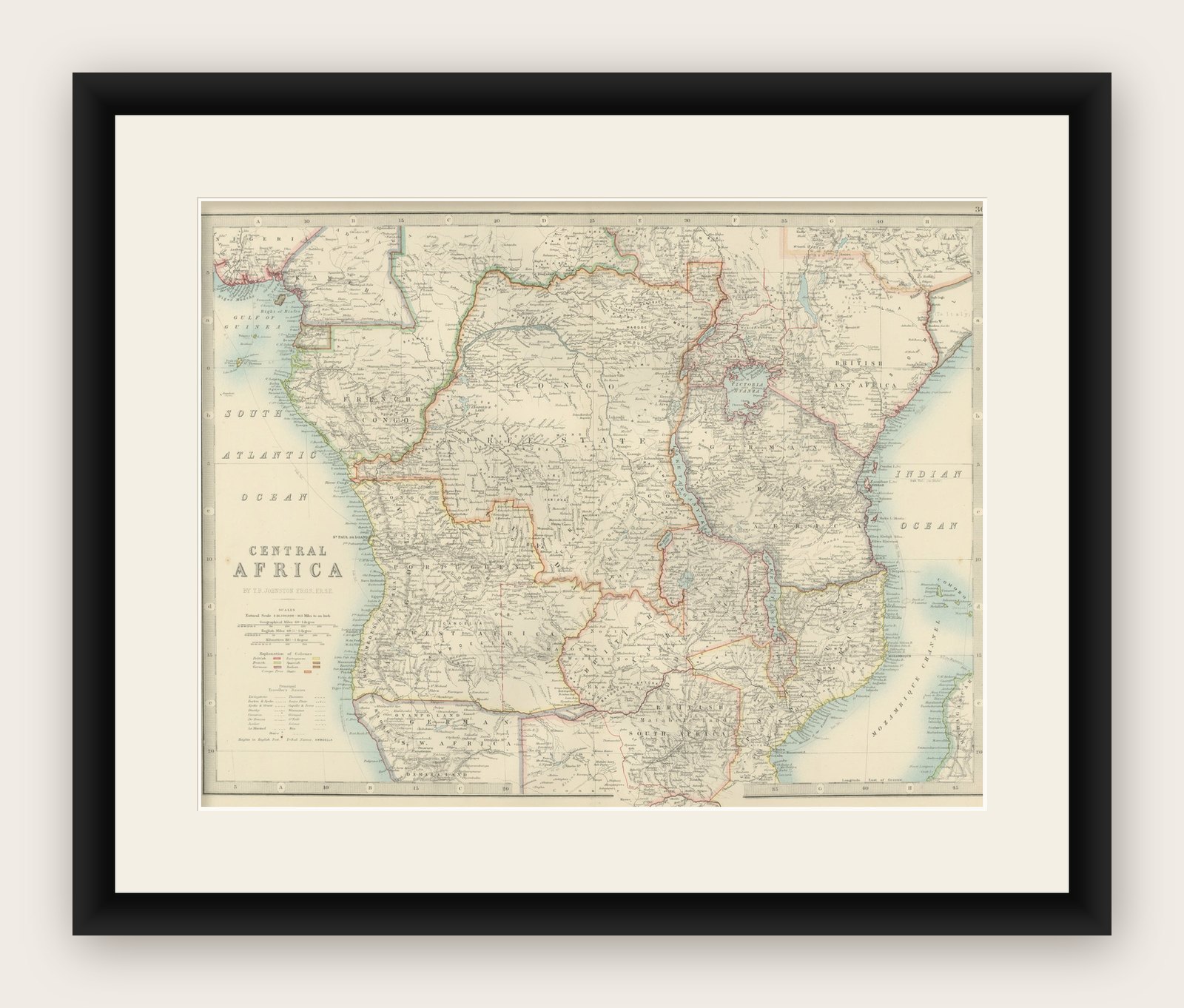
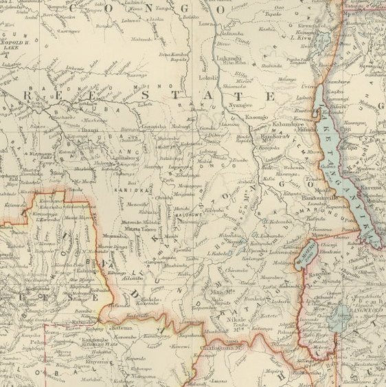
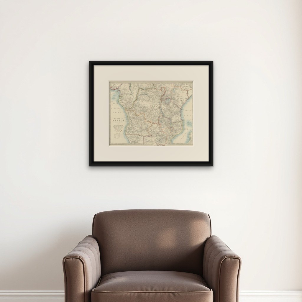
Antique Map of Central Africa, 1903, With Colonial Territories Explorers Routes

€ 290

Original antique · The actual sheet photographed · Certificate of authenticity on request · Sold unframed · Worldwide shipping from € 15 (rates)

Date
1903
Sheet size
36.8 × 47 cm (14.5 × 18.5 in)
Condition
Good
Reference
BG-13577-36
What the condition grades mean
Excellent
Bright and clean, with no faults worth mentioning.
Very good
Only light signs of age, such as faint toning.
Good
Normal signs of age for a sheet of this period: toning, some foxing, small marks or neat old repairs.
Fair
Clear faults such as staining, tears or repairs, priced to match.

Every fault we see is written in the condition note, and the whole sheet is shown uncropped in the photos.

Condition

This map is in very good antique condition, with only minor foxing and gentle edge toning typical for its age. The colors remain vibrant and the paper is stable and well-preserved.
About this sheet

Antique Map of Central Africa, 1903, Featuring Colonial Territories and Explorers’ Routes

This antique map, titled "Central Africa," was engraved and published in 1903 by W. & A.K. Johnston in Edinburgh and London. It offers a richly detailed and captivating look at Central Africa during a time of significant colonial expansion, exploration, and mapping.

Hand-colored in subtle pastel hues, the map delineates the colonial claims of European powers, including the British, French, German, Portuguese, and Belgian empires. Major features include the Congo River basin, the Great Lakes region, and the eastern highlands, all captured in exquisite detail with clear topographical features.

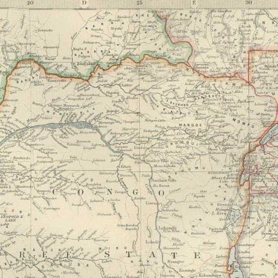
Of particular interest are the exploration routes of renowned explorers like Stanley, Livingstone, and Speke, which are carefully traced across the map. These routes reflect the intense period of geographic discovery and the race for resources that characterized the late 19th century in Africa.

For historians, collectors, and those with a passion for African history, this map is an invaluable artifact—a record of both the cultural and political complexity of Central Africa and the profound changes wrought by European colonialism.

Condition report:
This map is in very good antique condition, with minor foxing and gentle edge toning consistent with its age. The colors remain vibrant and the paper is well-preserved and stable.

Framing tips:
A classic wooden frame in walnut or cherry will highlight the soft pastel coloring and fine detail of the map. Use a cream or off-white matting to enhance the refined engraving and create an elegant, timeless focal point for any study, home library, or office.

More from Africa

Ask about this sheet

Antique Map of Central Africa, 1903, With Colonial Territories  Explorers Routes
Antique Map of Central Africa, 1903, With Colonial Territories Explorers Routes
1903 · Ref. BG-13577-36 · € 290
We reply by email, usually within one working day.

Your favorites

Saved in this browser. Email the list to yourself to keep it on any device.

We use your email to send this list and, only if you tick the box and confirm, for occasional new arrivals. Every email has an unsubscribe link. Bartele Gallery, the Netherlands.