About this sheet
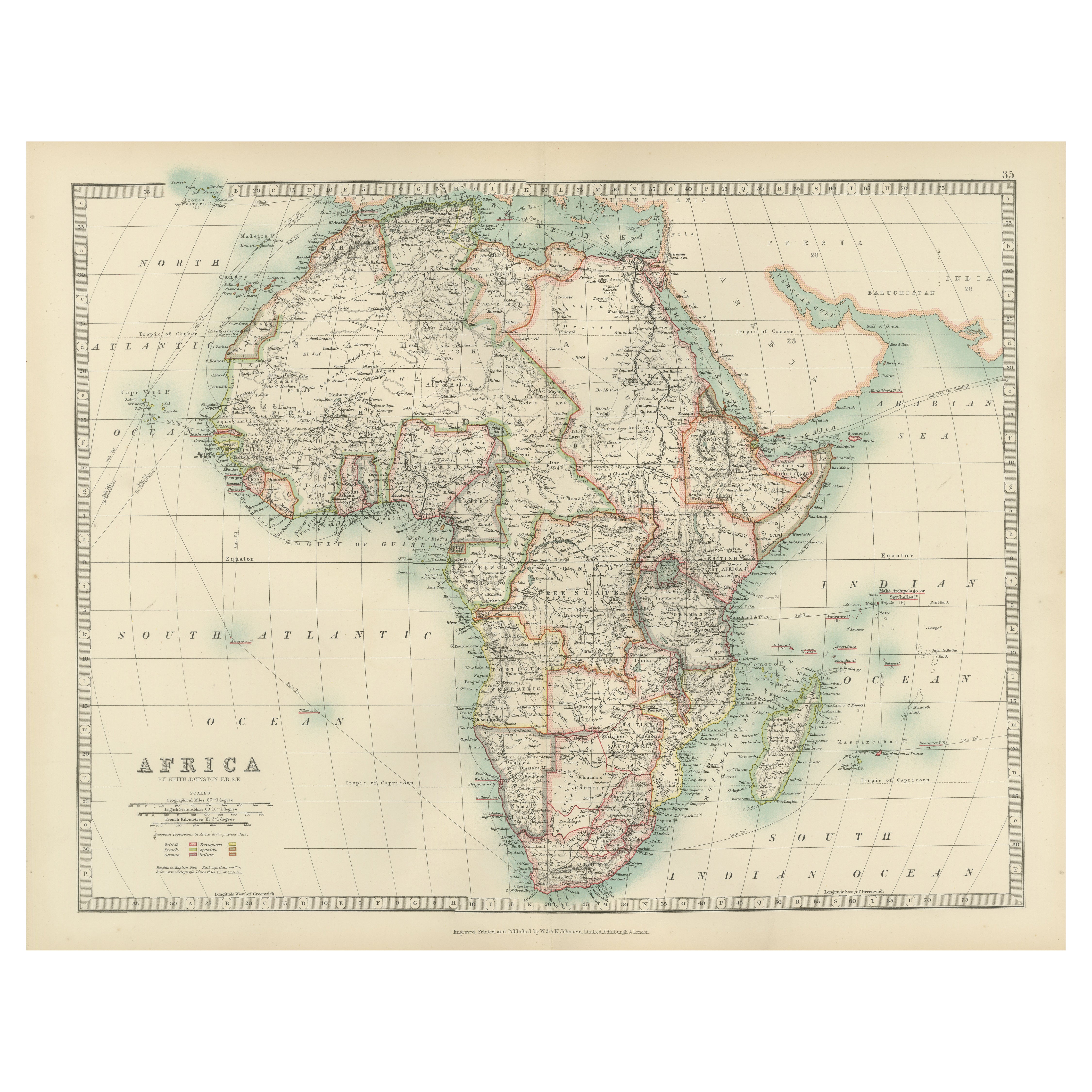
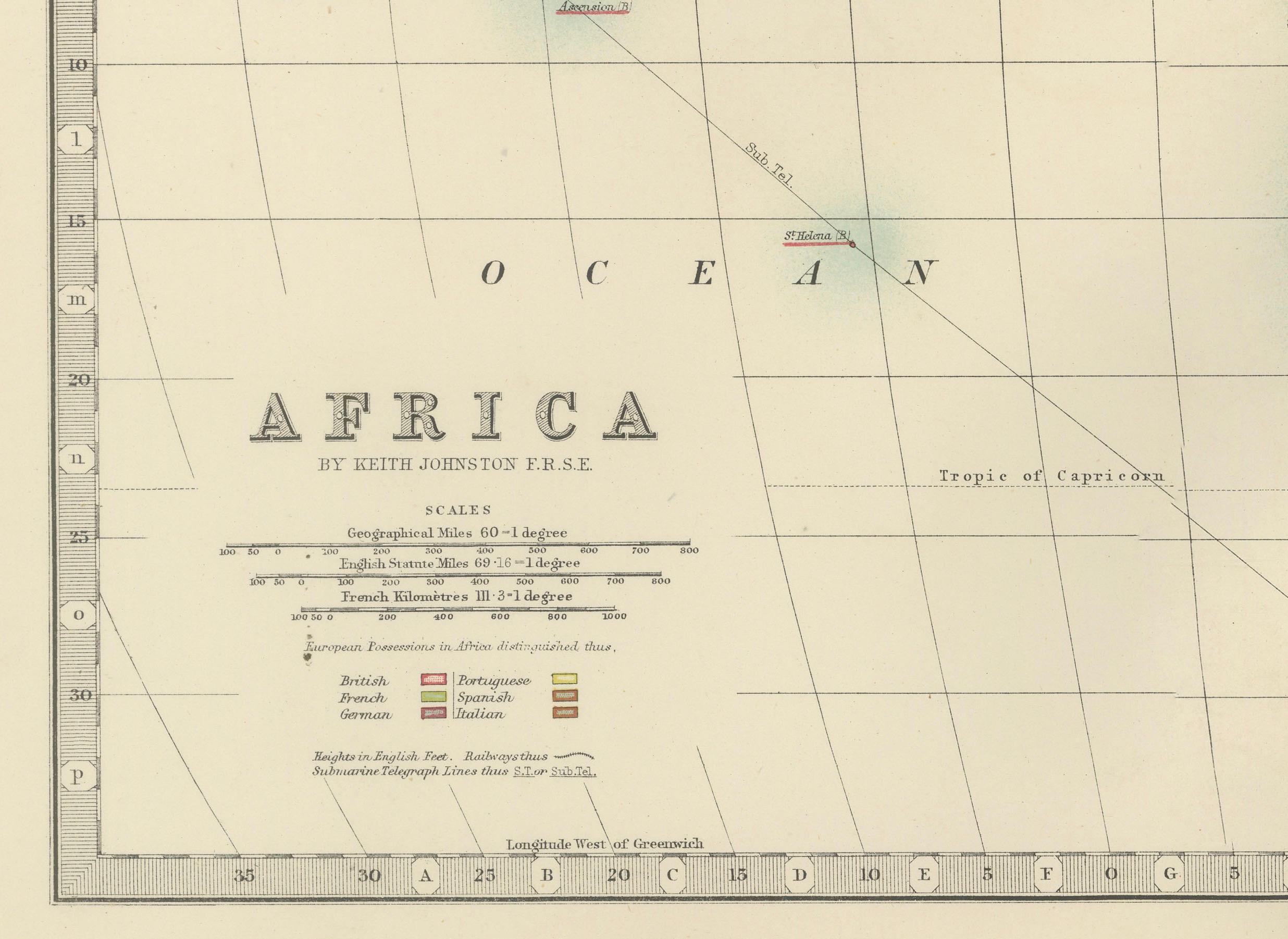
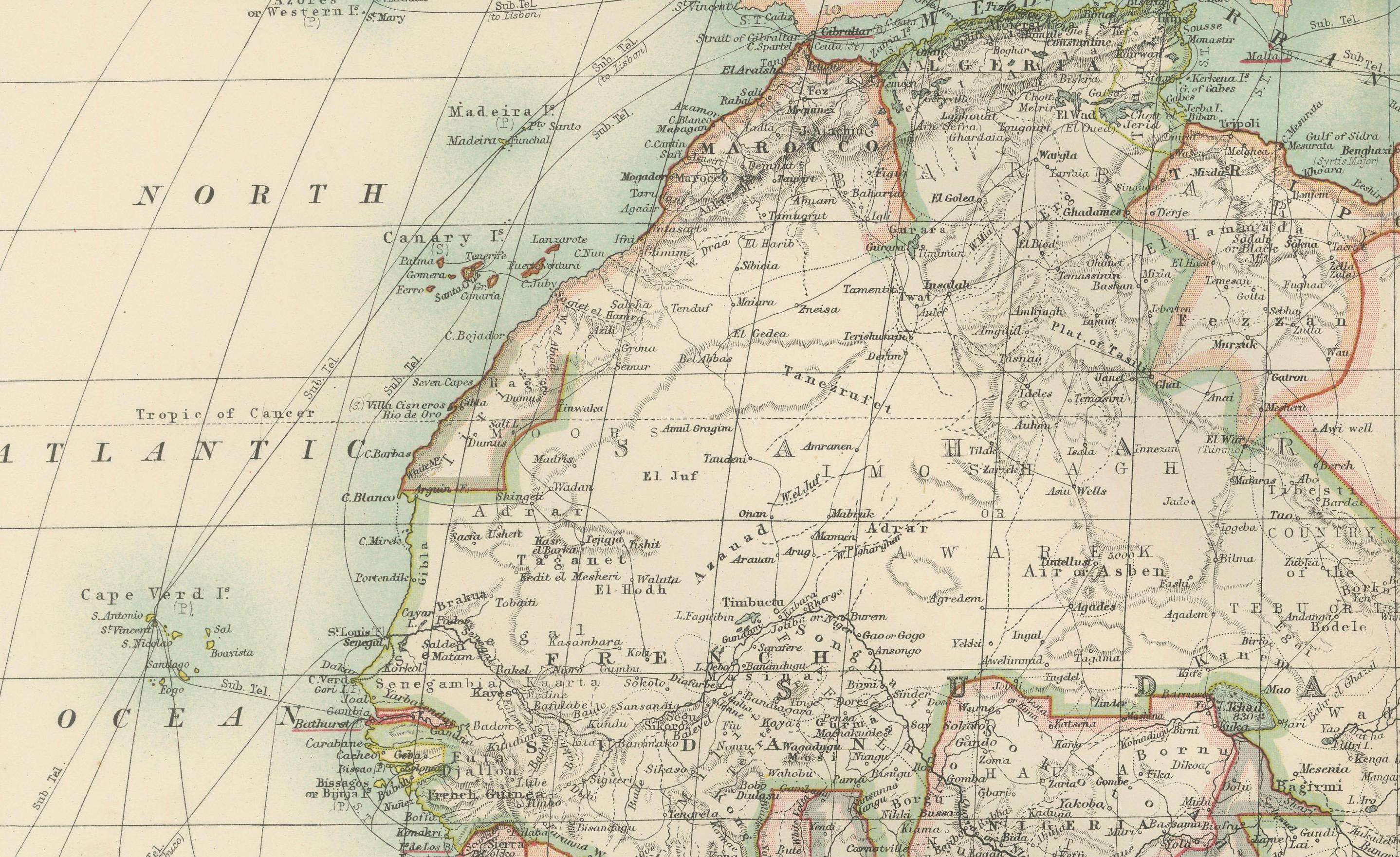
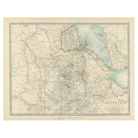
This antique map, titled "Africa," was engraved and published in 1903 by W. & A.K. Johnston in Edinburgh and London. It provides a fascinating and detailed look at the African continent at the height of the colonial era, reflecting the complex interplay of geography, culture, and imperial ambitions.
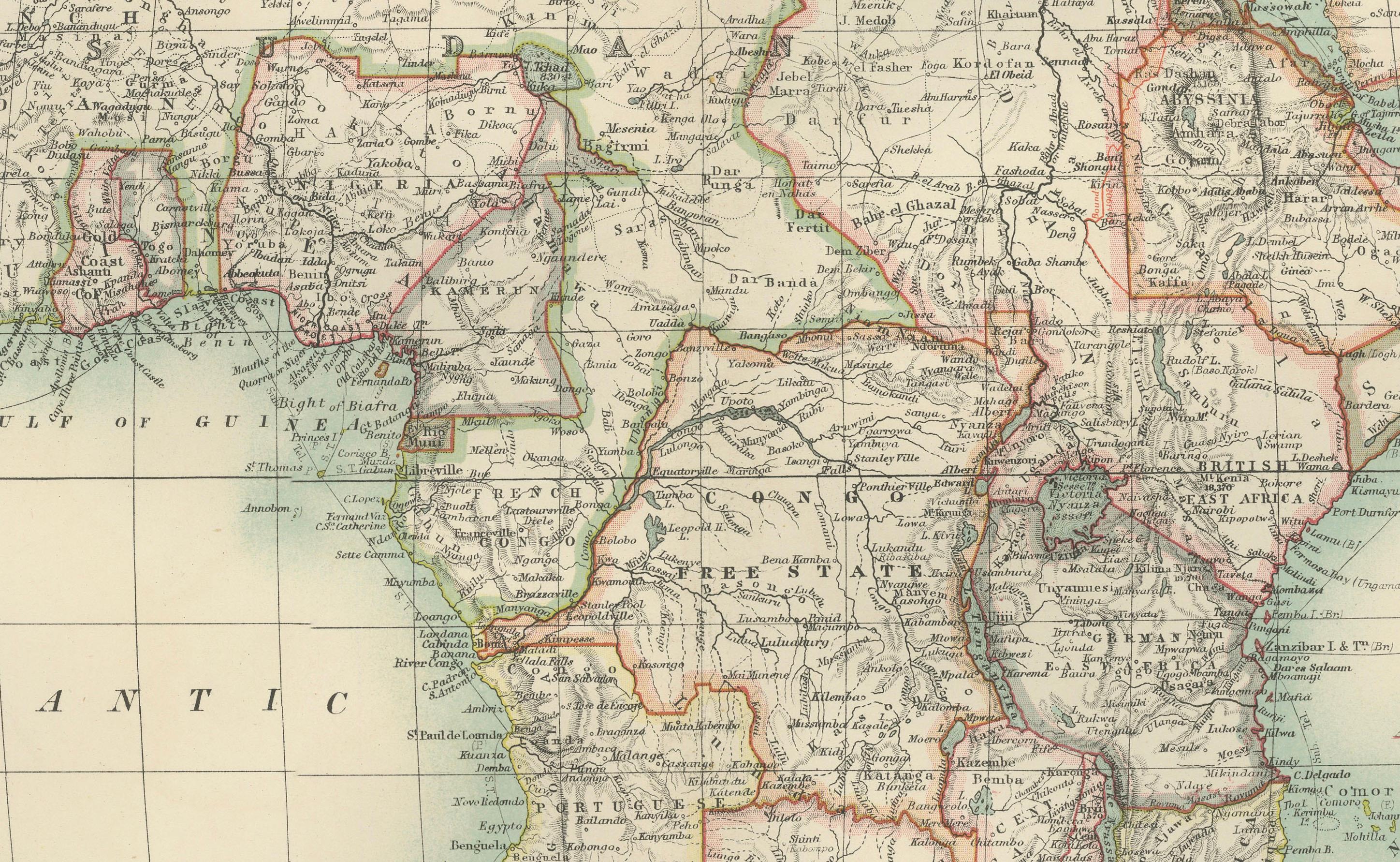
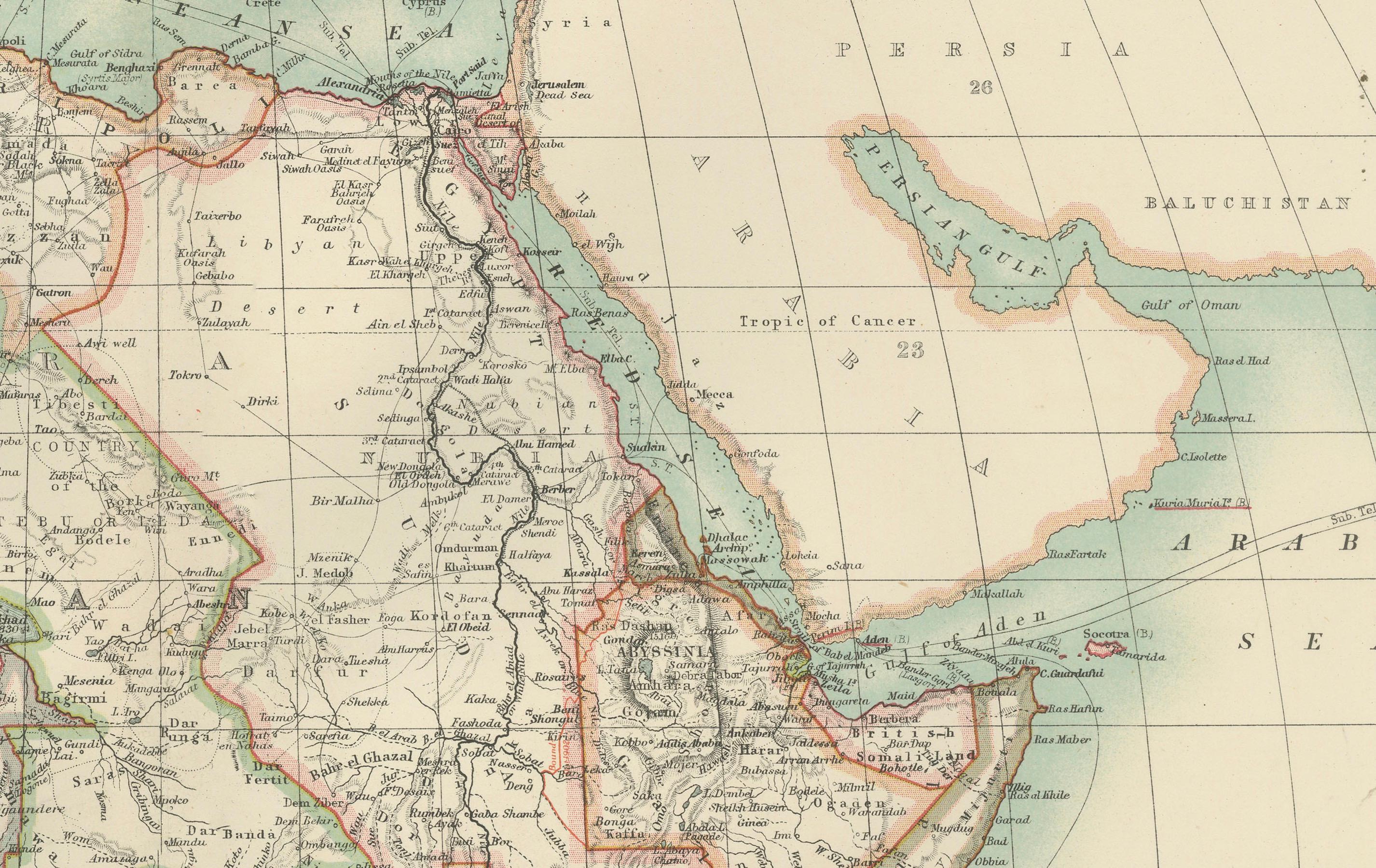
Hand-colored in soft pastel shades, the map delineates the colonial territories that defined Africa during this period, including the spheres of influence of the British, French, German, Portuguese, Italian, Belgian, and Spanish empires. Major rivers, mountain ranges, and lakes are all clearly depicted, offering a rich geographical context for the colonial boundaries imposed by European powers.
The map’s elegant typography and refined linework capture the grandeur of Africa’s natural features and underscore the political realities of the time. From the Sahara Desert to the fertile Nile basin, from the Cape of Good Hope to the islands of the Indian Ocean, this map illustrates the diverse environments and cultures that make Africa such a dynamic and significant part of the world.
For collectors, historians, and those with an interest in African history, this map is more than a decorative piece—it is a testament to a pivotal period in the continent’s story, reflecting both the beauty of its landscapes and the dramatic changes brought by colonization.
Condition report:
This map is in very good antique condition, with only minor foxing and gentle edge toning typical for its age. The colors remain vibrant and the paper is stable and well-preserved.
Framing tips:
A classic wooden frame in walnut or cherry will enhance the soft pastel colors and historical detail of this map. Use a cream or off-white matting to highlight the refined linework and create a sophisticated, timeless focal point for any home, library, or study.