About this sheet
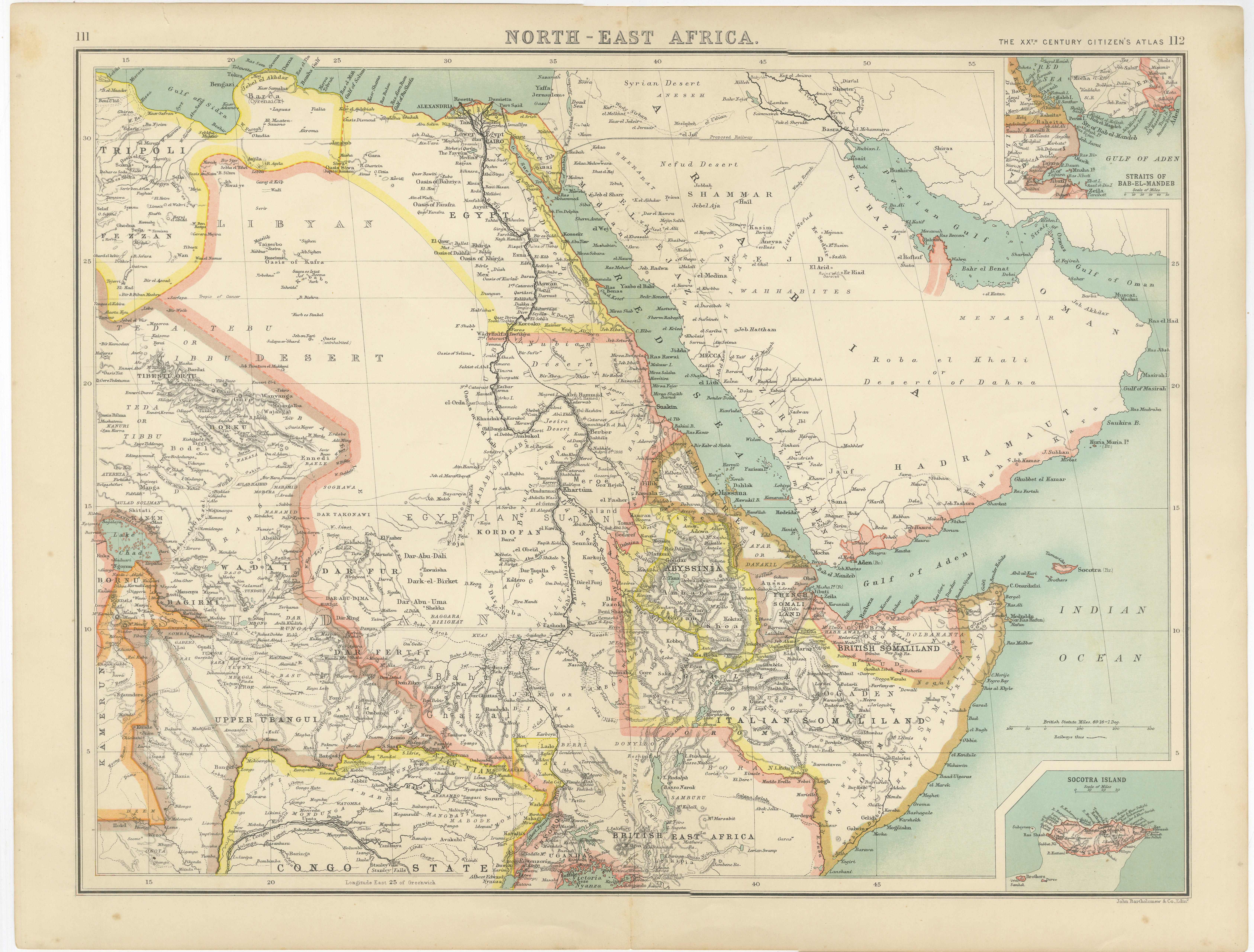
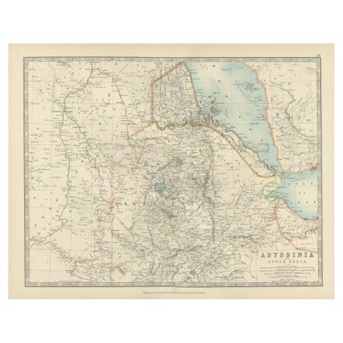
North-East Africa Map Showing Egypt, Abyssinia, Sudan & Somaliland c.1902
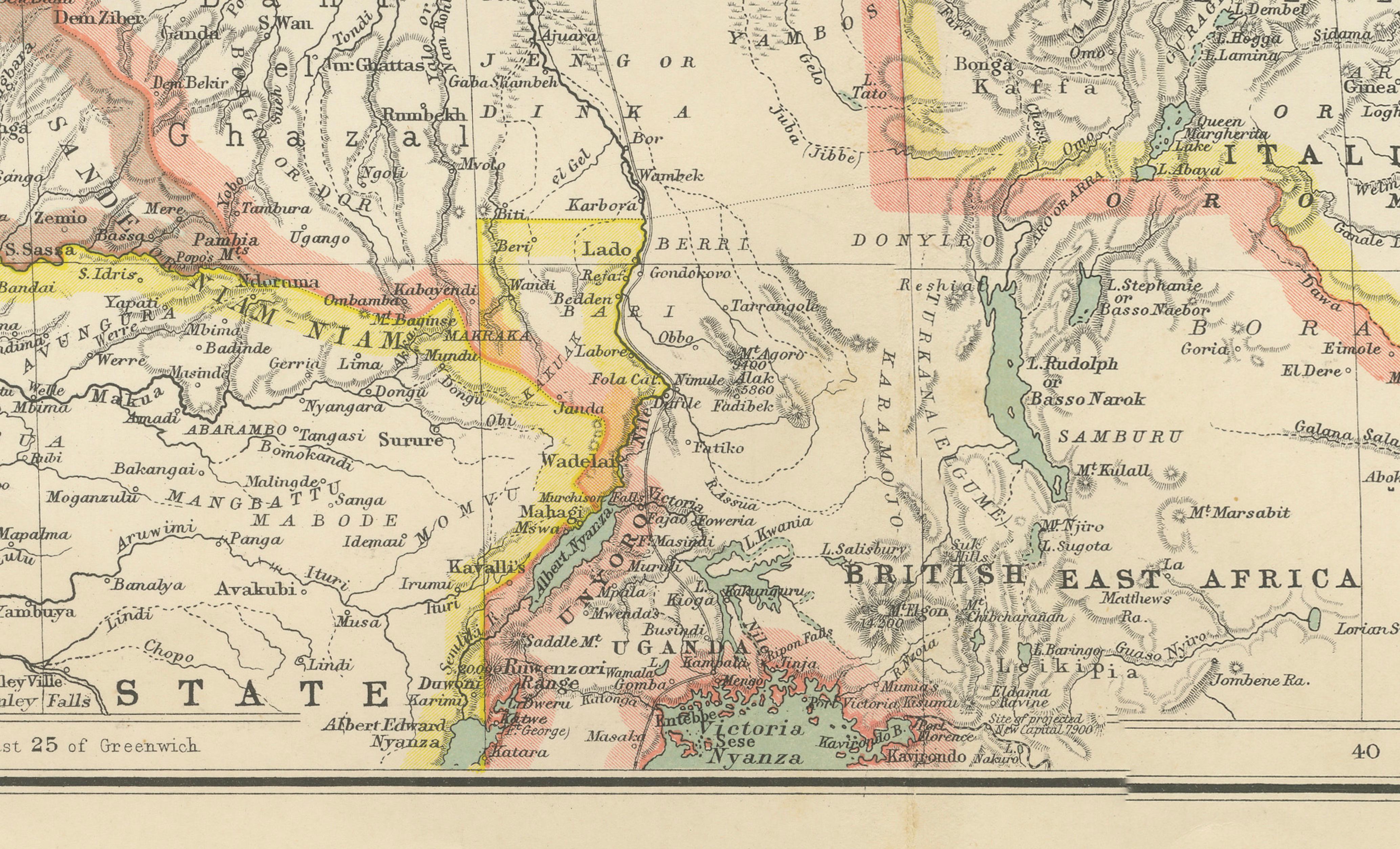
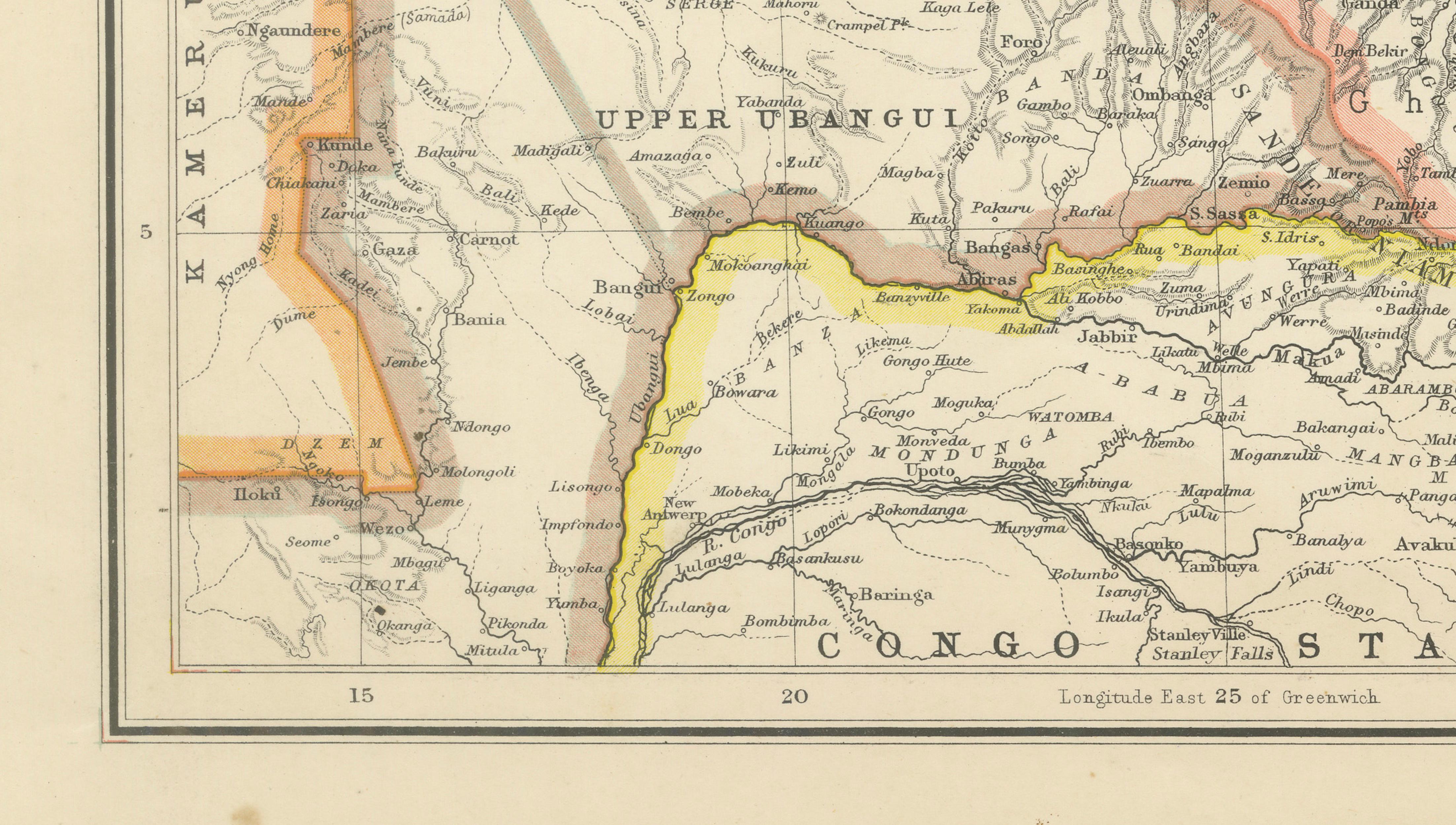
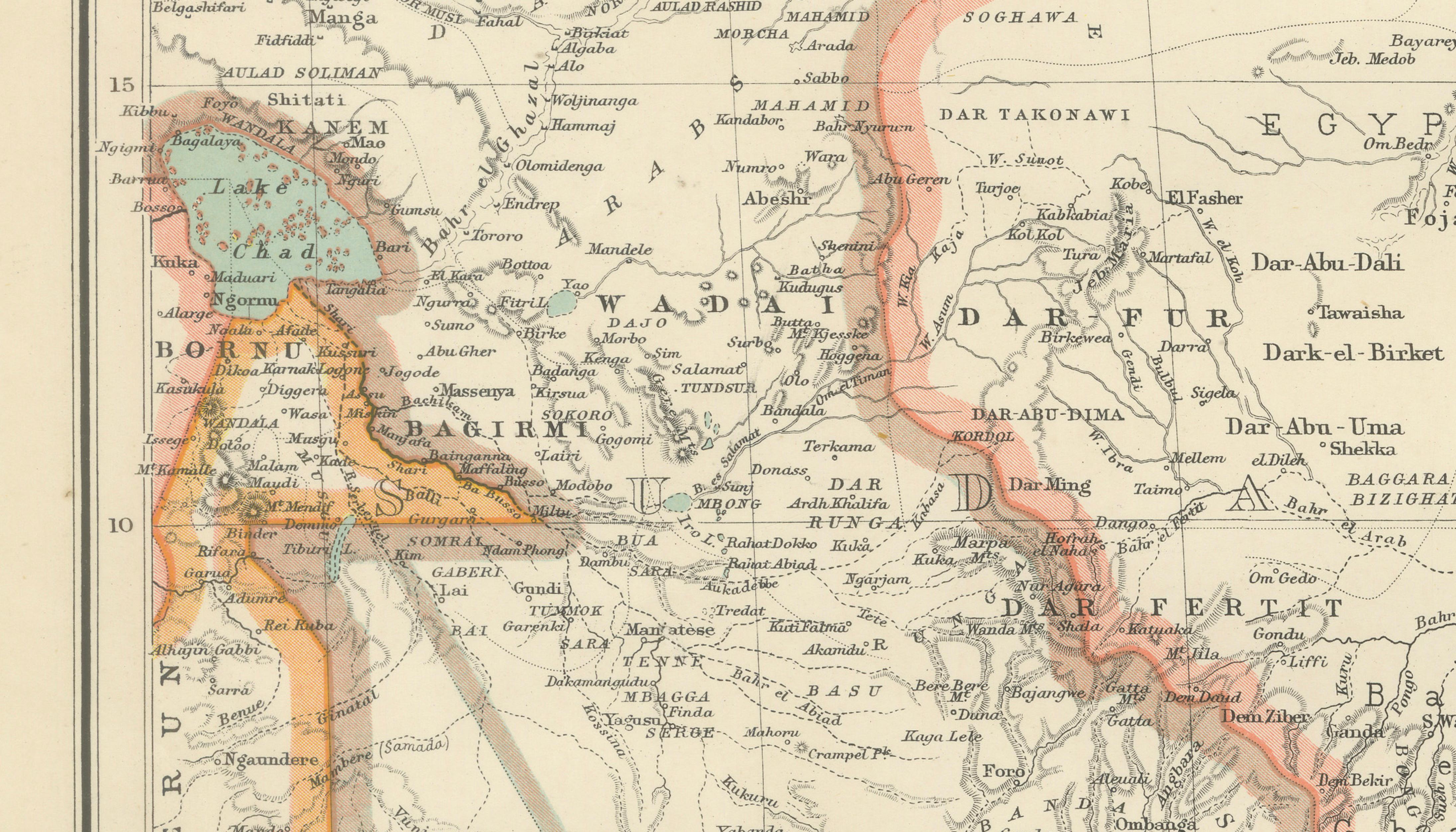
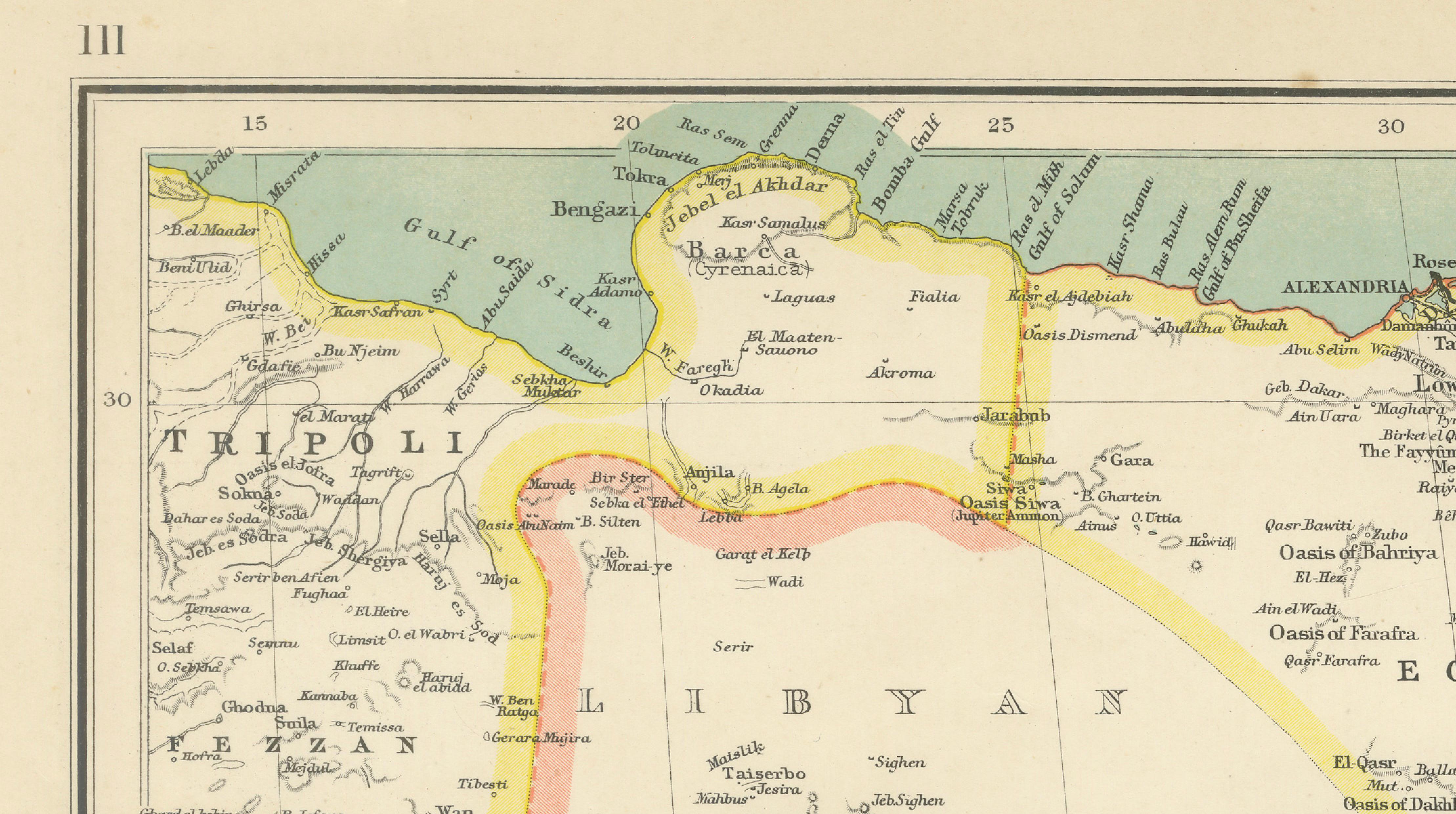
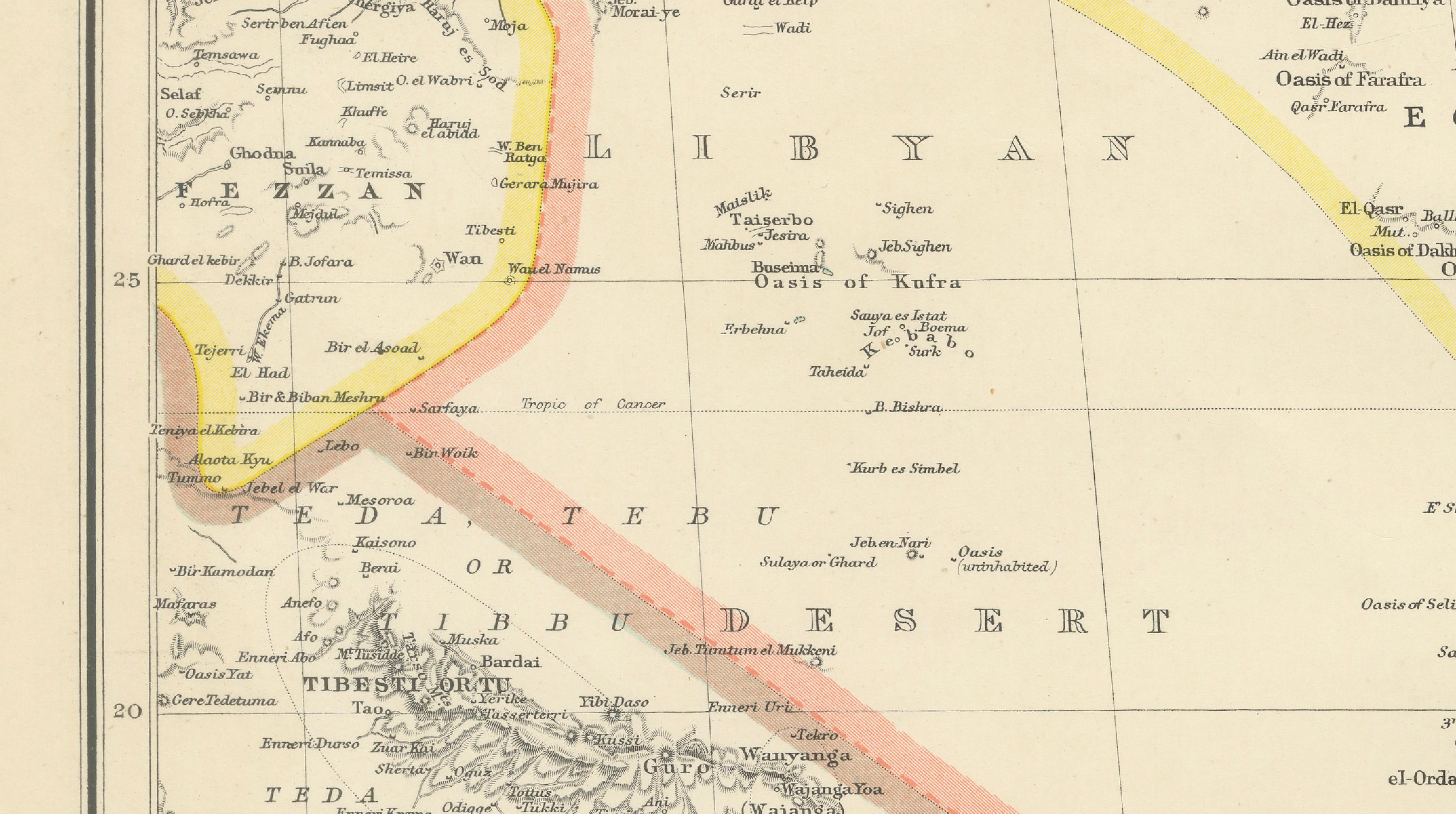
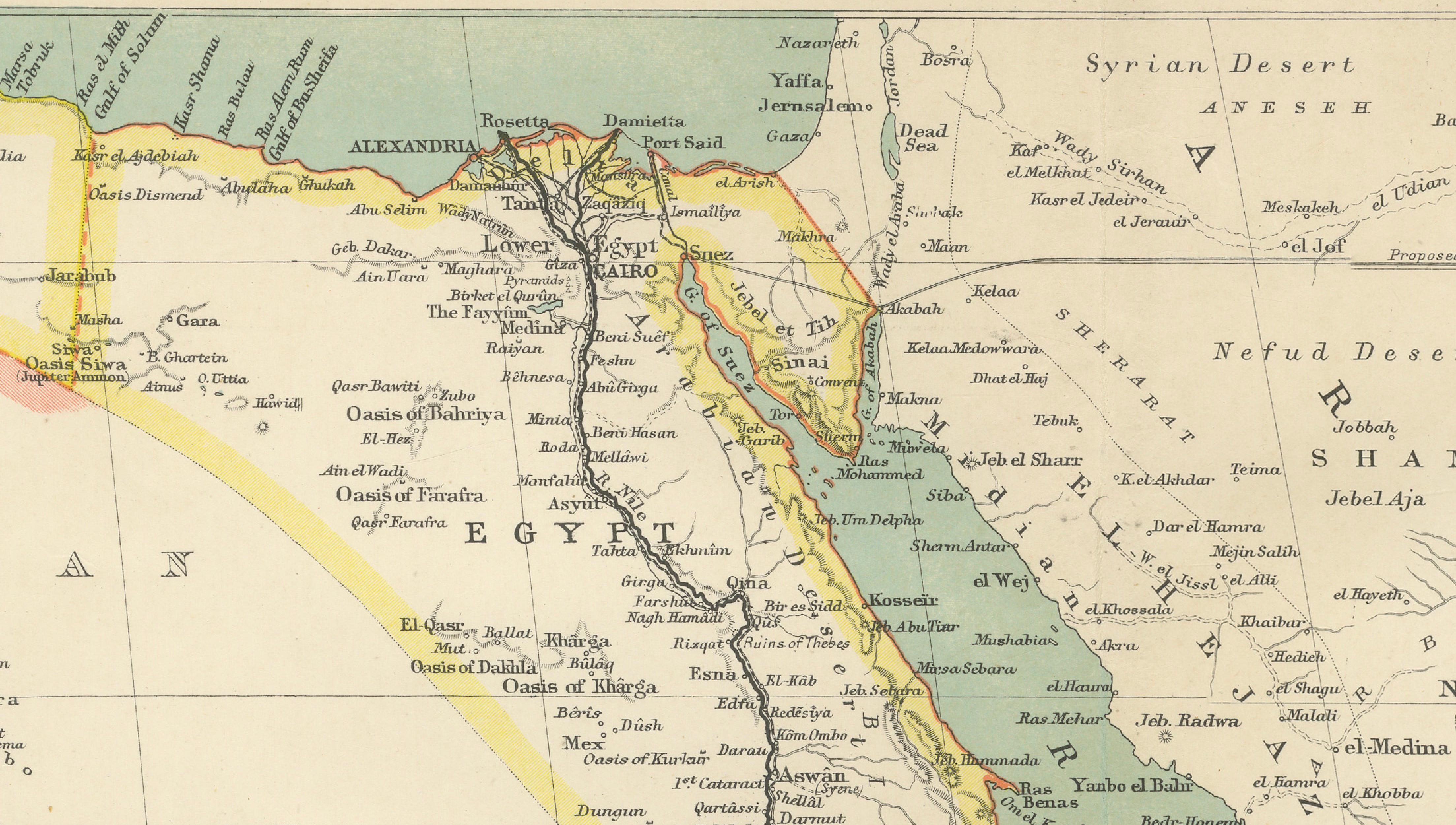
A large and visually striking antique map titled “North-East Africa,” depicting the political and geographic landscape of northeastern Africa and the Arabian Peninsula at the turn of the twentieth century. Richly detailed and finely printed in color, the map presents a fascinating snapshot of colonial-era Africa, extending from Egypt and the Mediterranean coast southward through Sudan, Abyssinia (Ethiopia), Eritrea, British East Africa, and the Congo region, while also covering Arabia, the Red Sea, the Gulf of Aden, and Somaliland.
The map was issued as part of The XXth Century Citizen’s Atlas, a beautifully produced educational atlas known for its clear typography, strong geographic detail, and attractive period coloring. Political territories are distinguished in soft pastel outline colors, creating an elegant visual balance while simultaneously illustrating the colonial divisions and spheres of influence that defined the region during this transformative historical period.
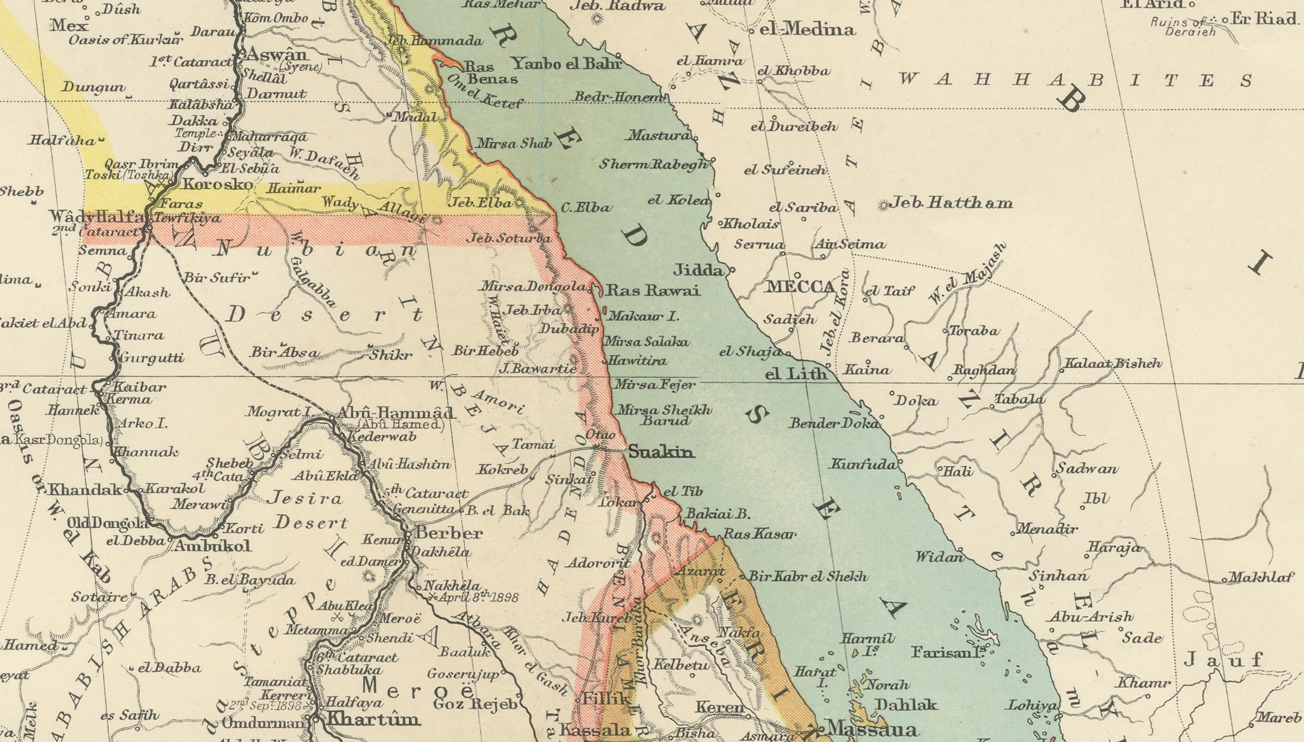
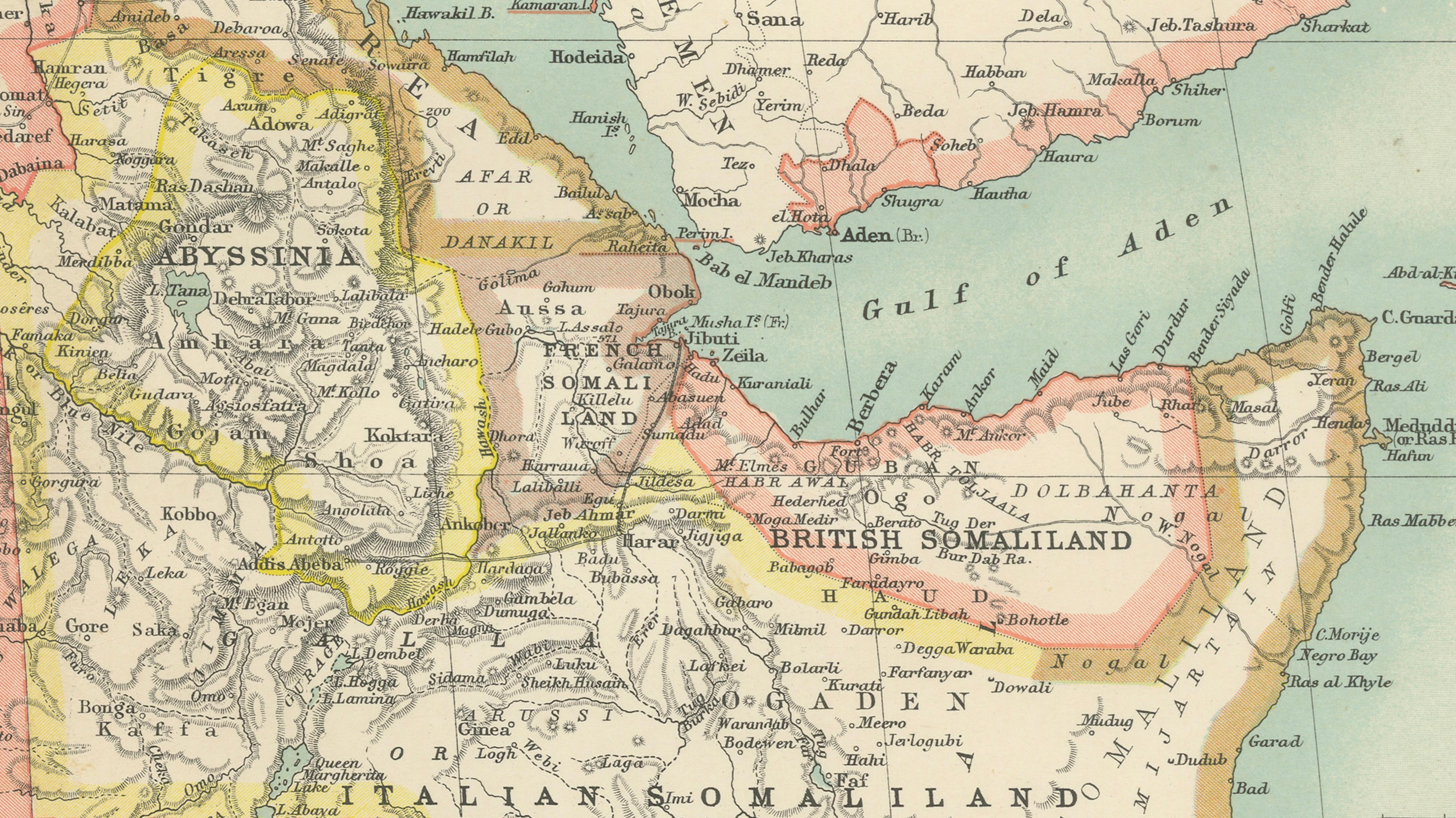
Particularly notable is the detailed treatment of the Nile River system and Egypt, including Cairo, Alexandria, Luxor, and the Nile Delta, alongside extensive mapping of Sudan and the Horn of Africa. Ethiopia and Abyssinia are prominently featured during a period when the region remained one of the few largely independent African states amidst European colonial expansion. The map also identifies British Somaliland, Italian Somaliland, Eritrea, and territories bordering the Red Sea and Indian Ocean, making it highly relevant for collectors interested in African exploration, colonial history, Middle Eastern trade routes, and early modern geopolitics.
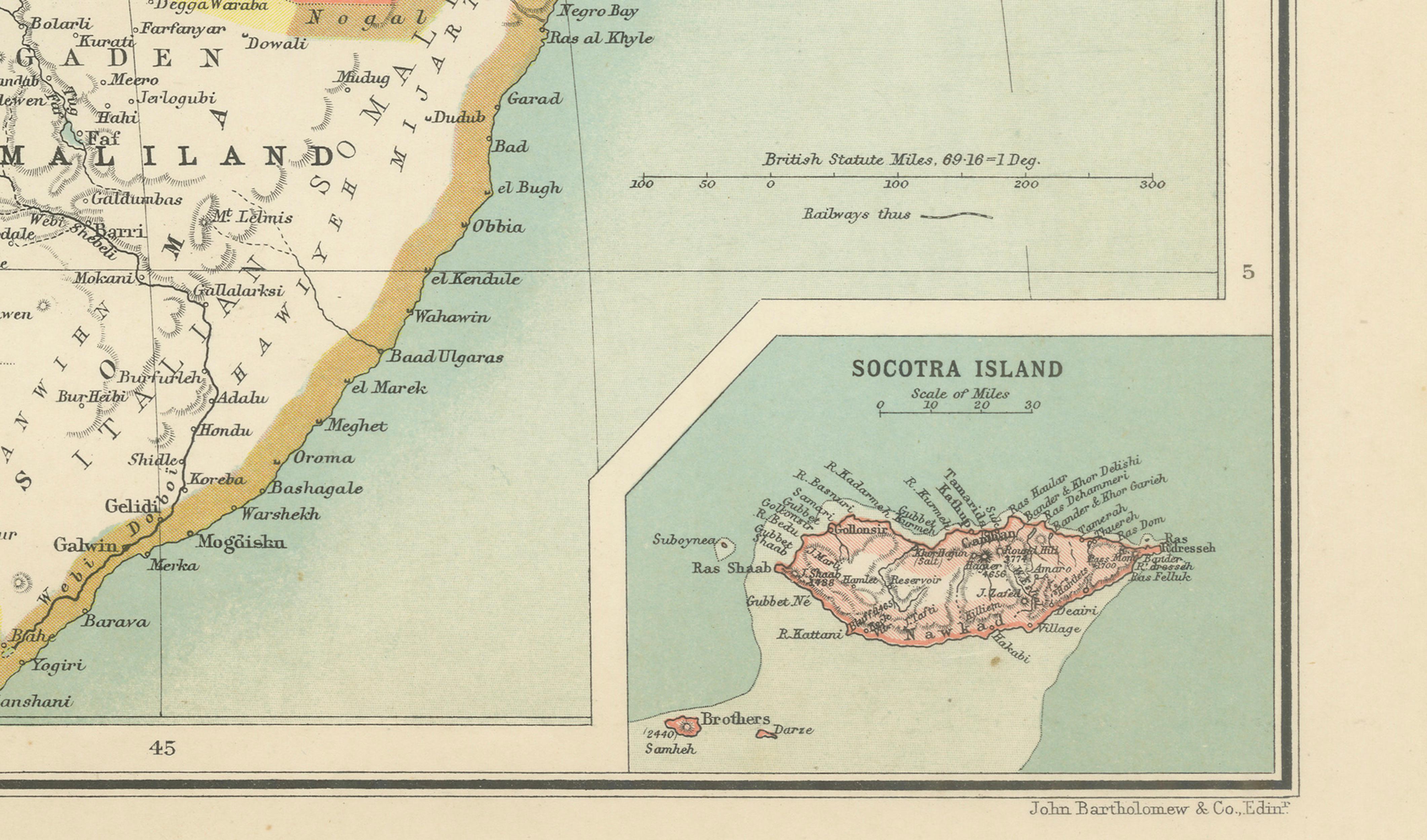
Inset maps in the upper and lower corners add further visual interest, including the strategically important Straits of Bab-el-Mandeb and Socotra Island. The combination of dense cartographic information and subtle color palette gives the piece strong decorative appeal, especially when framed in a dark walnut, ebonized, or gilt frame with a wide museum-style mat.
This map works exceptionally well in interiors inspired by travel, exploration, colonial-era studies, or African and Middle Eastern history. The broad geographic coverage and elegant engraving make it both an informative historical document and an impressive decorative wall piece.
Condition: Good antique condition with age-related toning and occasional light foxing. Original center fold as issued. Minor handling wear and faint discoloration consistent with age. Please study image carefully.
Special note: This is an original antique map, not a reproduction. All items we offer are authentic period works of art over 100 years old. The piece is sold unframed; any framed images are shown for presentation and interior inspiration only and may not always be to scale.
Keywords: North-East Africa map, Egypt map, Sudan map, Ethiopia map, Abyssinia, Somalia, Somaliland, Eritrea, Red Sea, Arabia, Gulf of Aden, Nile River, Cairo, Alexandria, Congo Free State, British East Africa, colonial Africa, African exploration, antique Africa map, Horn of Africa, Bab-el-Mandeb, Socotra, Indian Ocean, cartography, historical atlas, Middle East map, colonial territories, antique map Africa
Technique: Color lithographic map
Maker: John Bartholomew & Co., Edinburgh, circa 1902