About this sheet
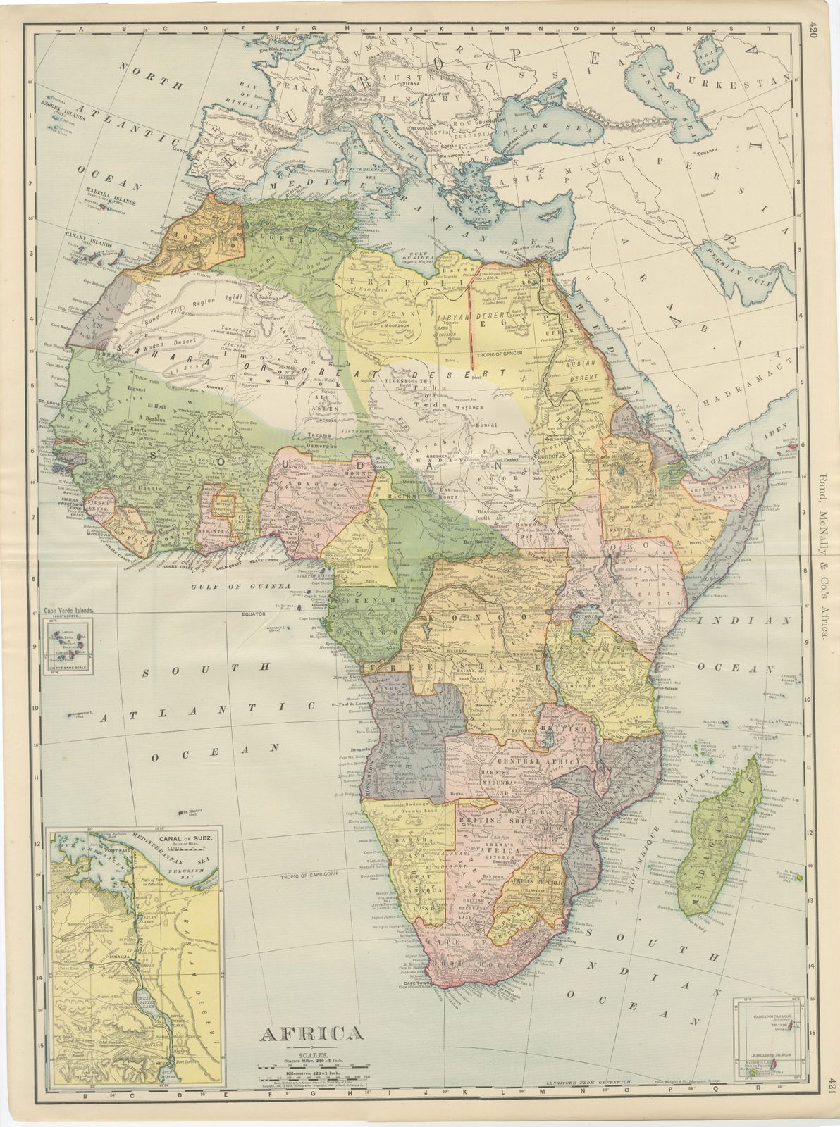
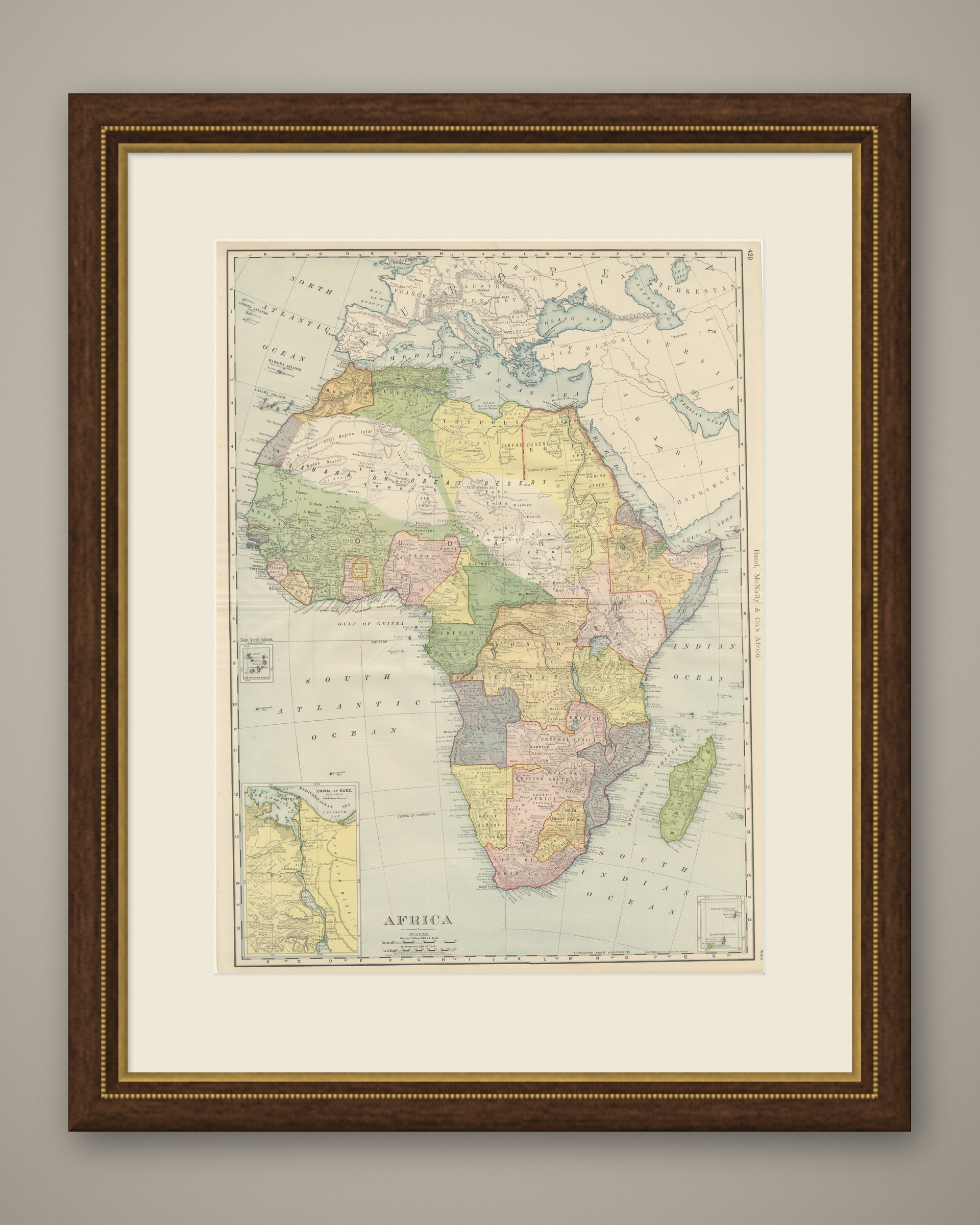
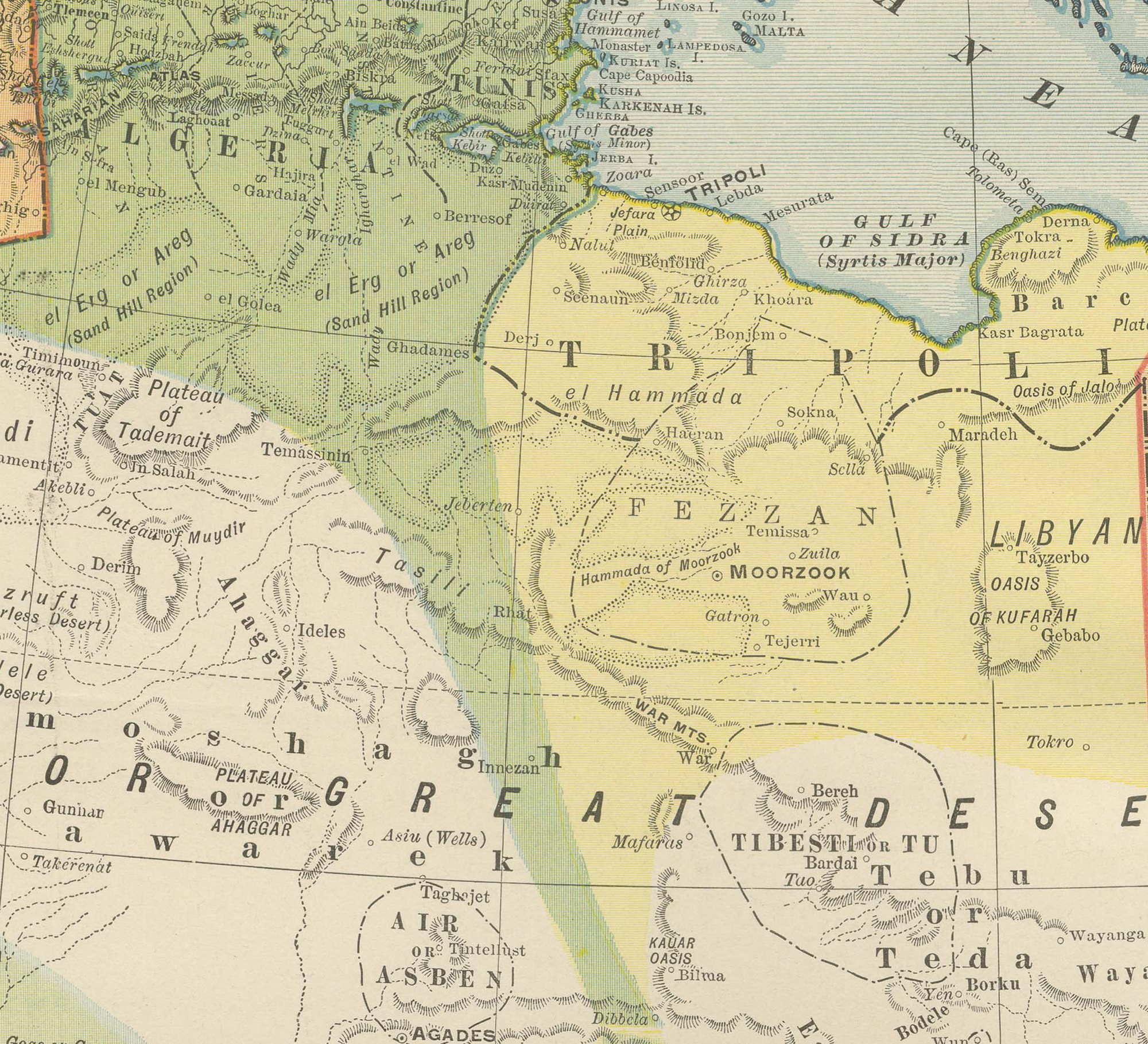
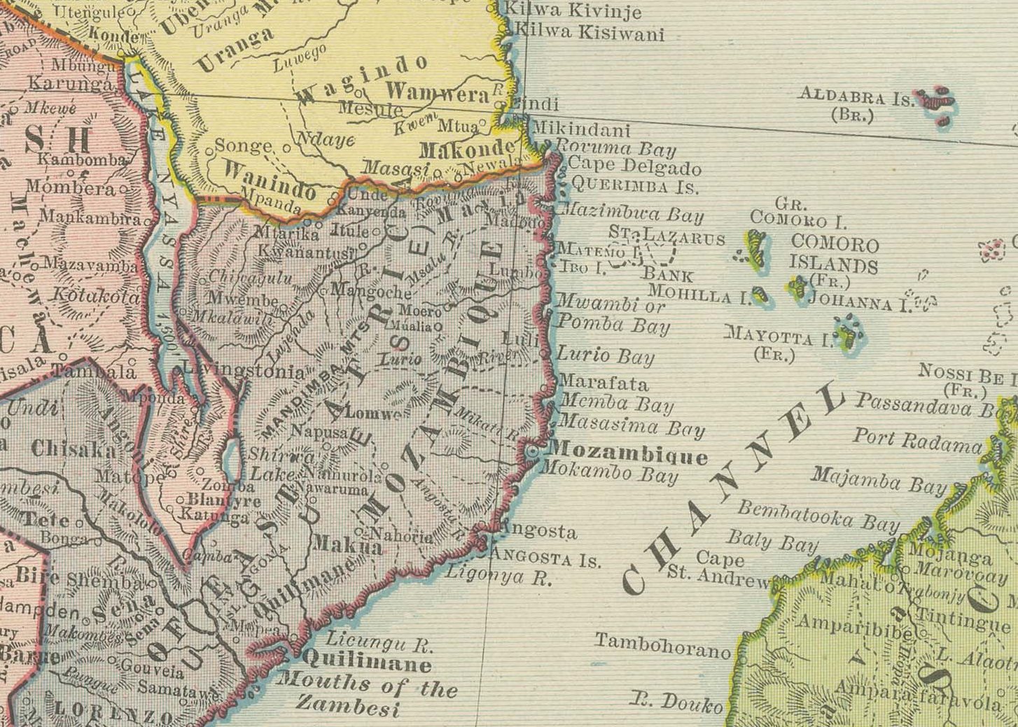
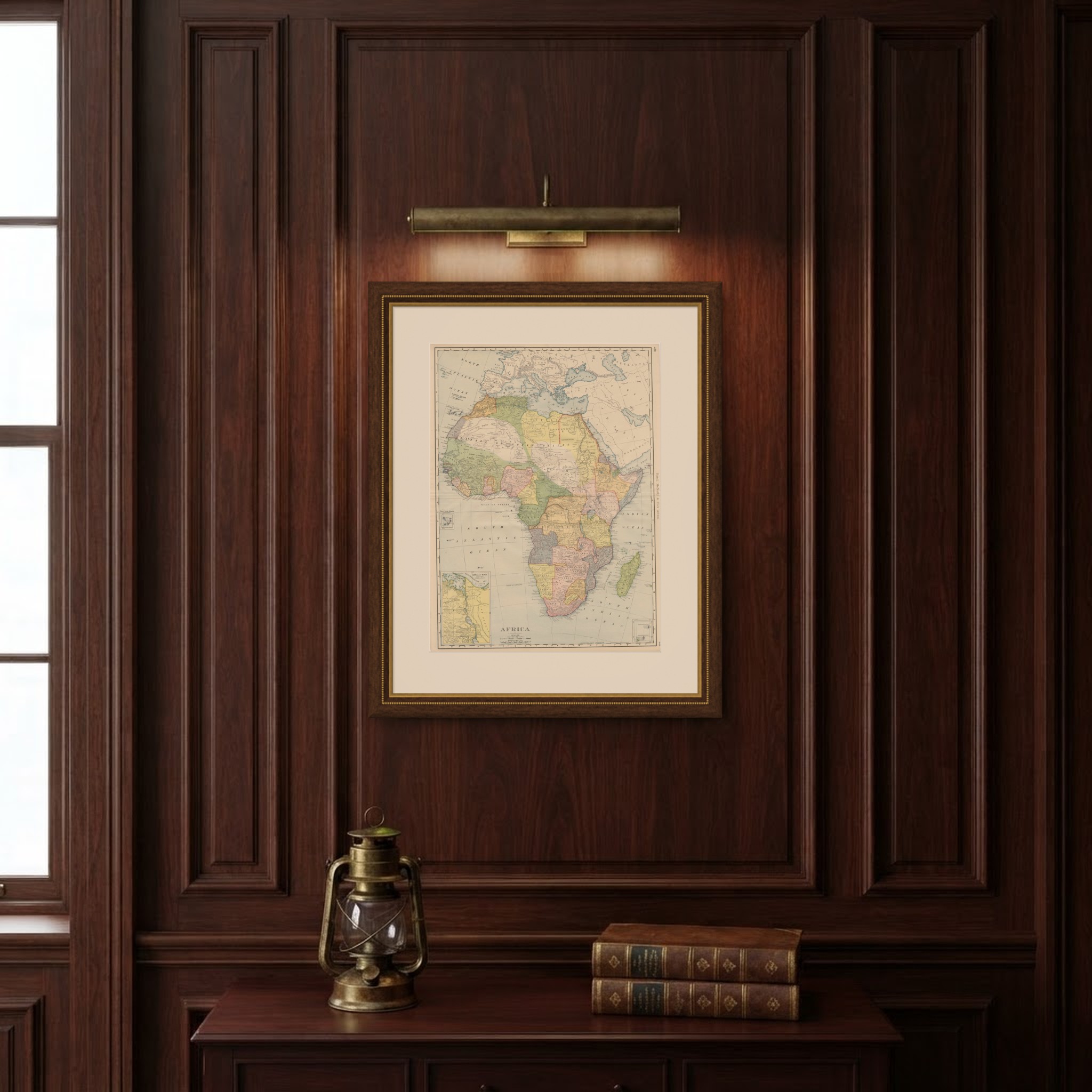
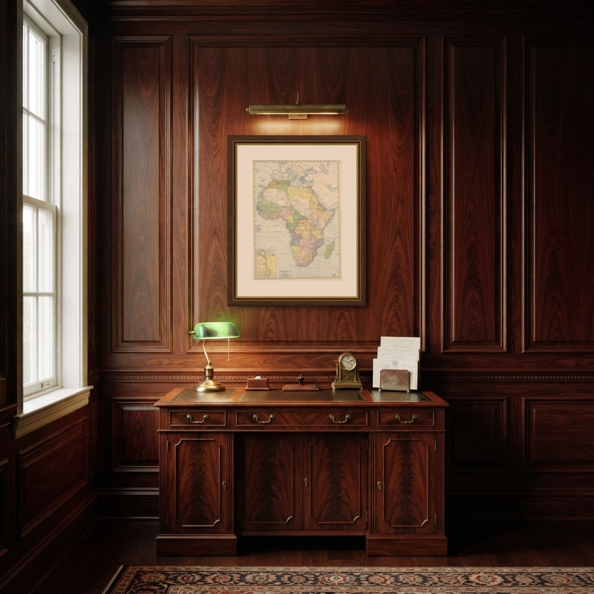
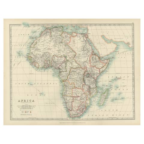
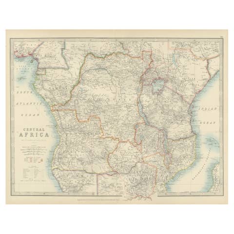
This antique map of Africa, printed by Rand McNally in 1899 across pages 420 and 421 of its indexed atlas, presents the continent under the colonial partition current at the close of the century. French territory is green across the northwest Sahara and the Congo basin; British possessions are pink from Egypt down through the Sudan and East Africa to the Cape; the Congo Free State, the personal domain of Leopold II and not yet a Belgian colony, is yellow-orange at the center; and German East and Southwest Africa, Portuguese Angola and Mozambique, and the Boer republics of the Transvaal and Orange Free State each carry their own tint in the south, a year before the outbreak of the South African War. Egypt, Tripoli and the unclaimed interior of the Sahara, labeled simply "Great Desert," are left largely white.
Several insets extend the map's usefulness: at lower left, "Canal of Suez" traces the waterway from Port Said to Suez alongside the Nile delta, and small boxed insets at upper left and lower right carry the Canary, Cape Verde, Madeira, Ascension and Mauritius islands to the same scale as the mainland. The Nile, Niger, Congo and Zambezi river systems are drawn in fine detail, and Madagascar, recently brought fully under French control, is shown in green at lower right.
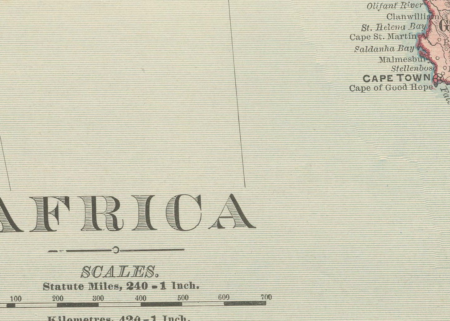
Scale is given as 260 statute miles to the inch. The partition lines recorded here, drawn only a few years after the Berlin Conference formalised the European carve-up of the continent, make this a dated political document rather than a generic decorative map of the continent.
Rand McNally grew from a Chicago printing business started in the 1850s by William Rand and joined by Andrew McNally, and by the 1890s it was one of the leading map publishers in the United States. As on the atlas's other continental sheets, this antique map of Africa is a color lithograph, the outline printed in black with the original colors printed over it. It is an original 1899 atlas sheet, issued folded through the center and suitable for framing. The color is printed rather than applied by hand.
The sheet is in good condition for its age, with light age toning, deeper toward the edges, a few small spots, wear to the lower left corner and the original central fold as issued. Please review the images for further condition details.
This is an original antique map, not a modern reproduction. This item is sold unframed. Any framed or interior images are shown for presentation and inspiration only, unless the listing explicitly states that the item is sold framed.