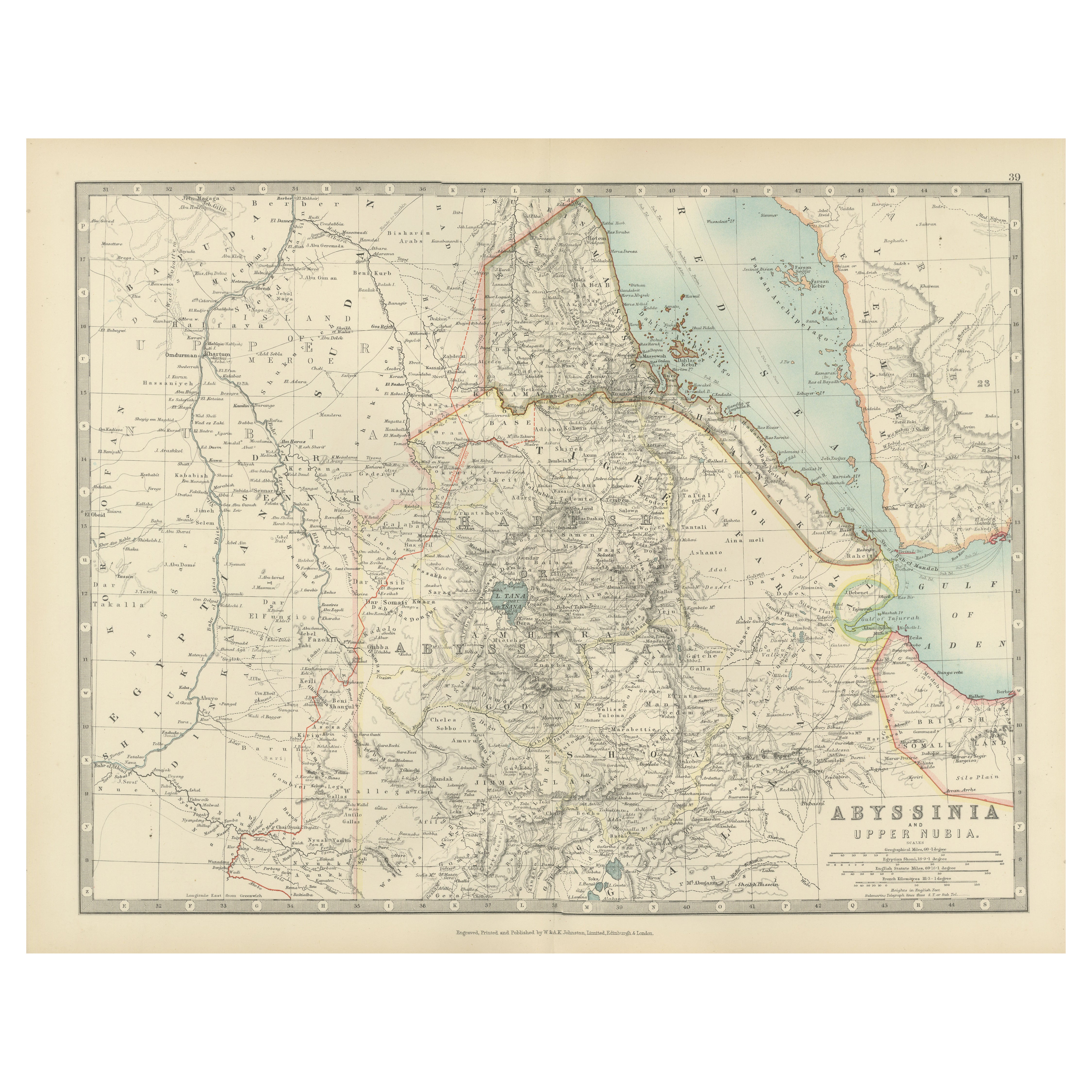
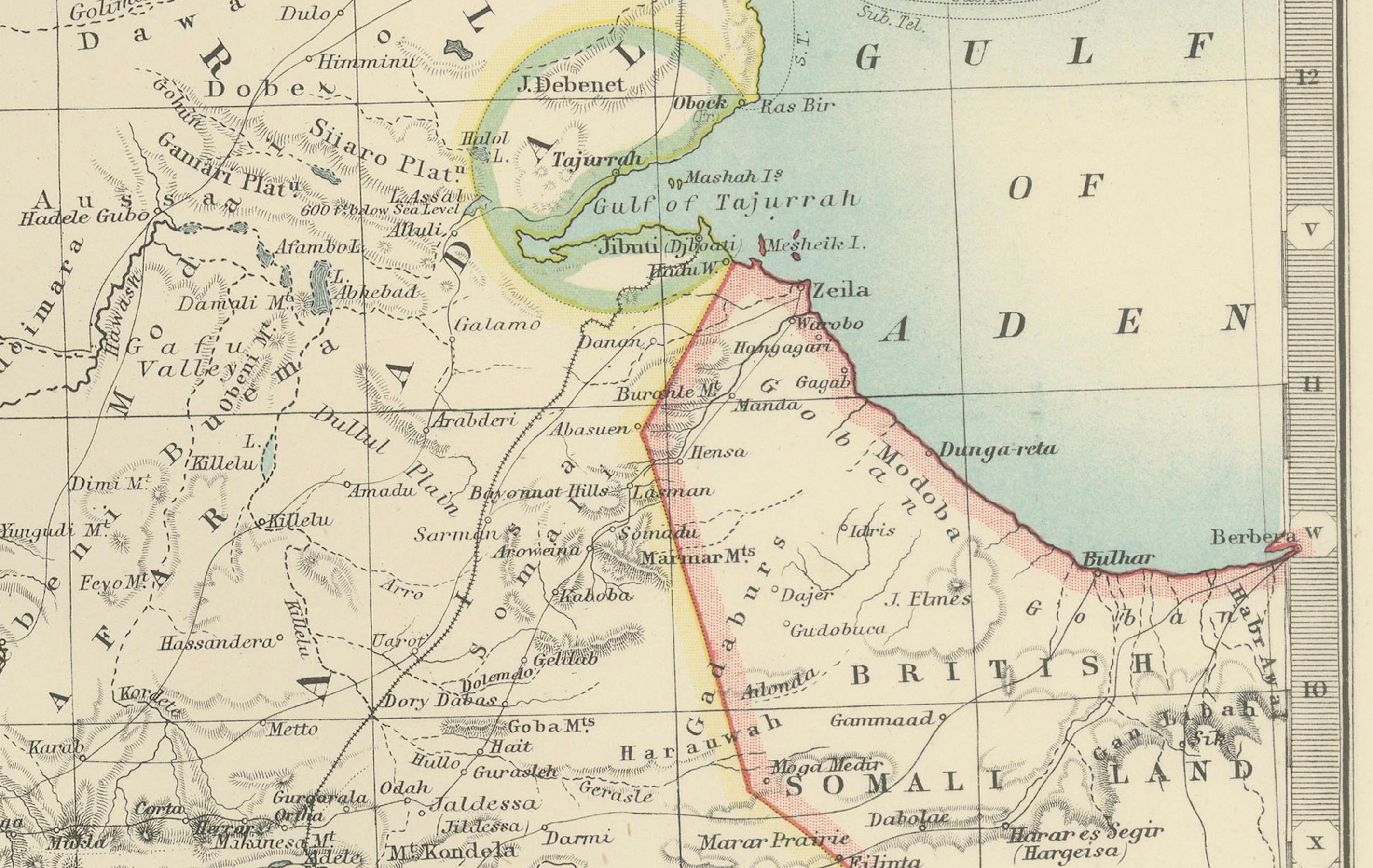
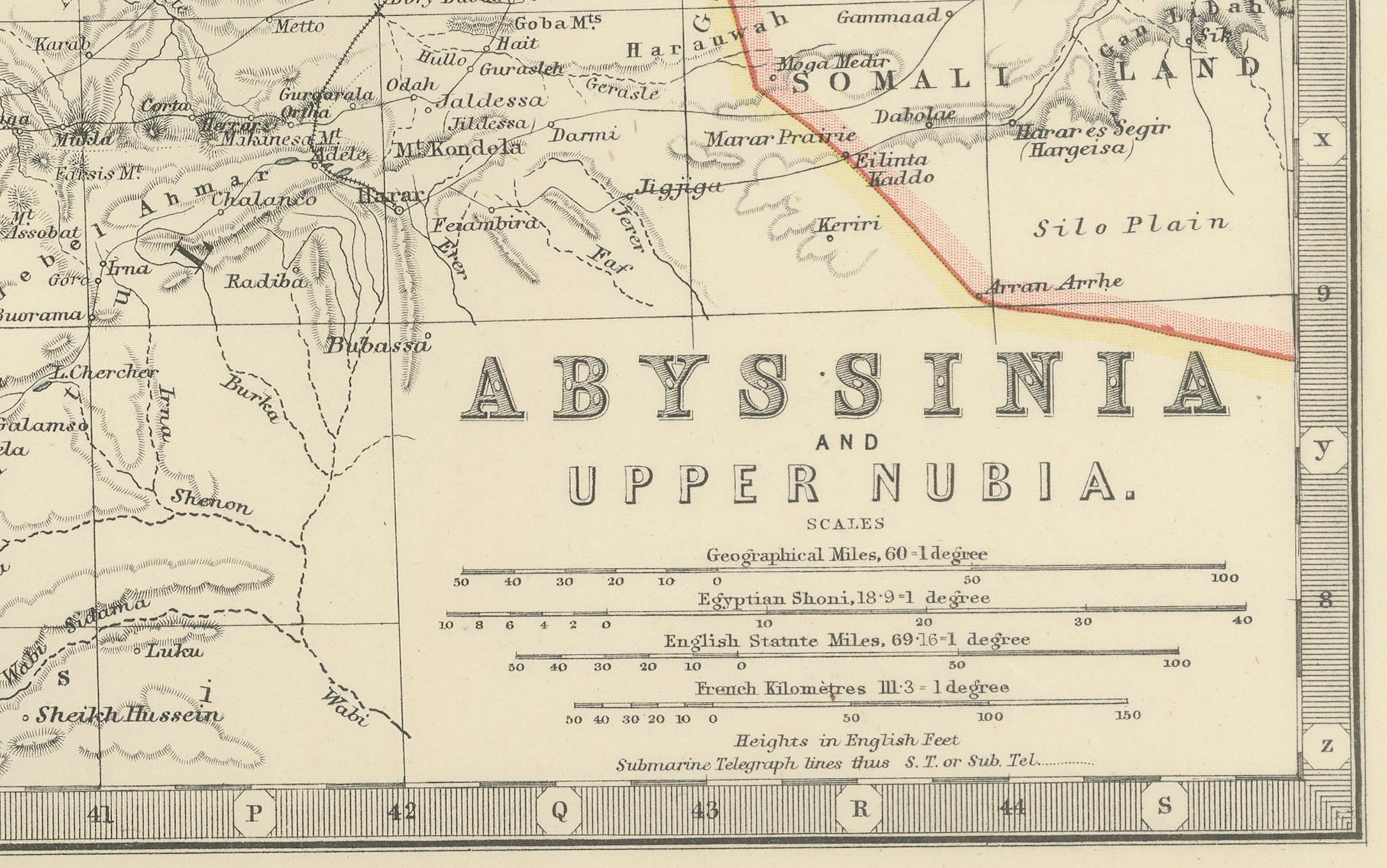
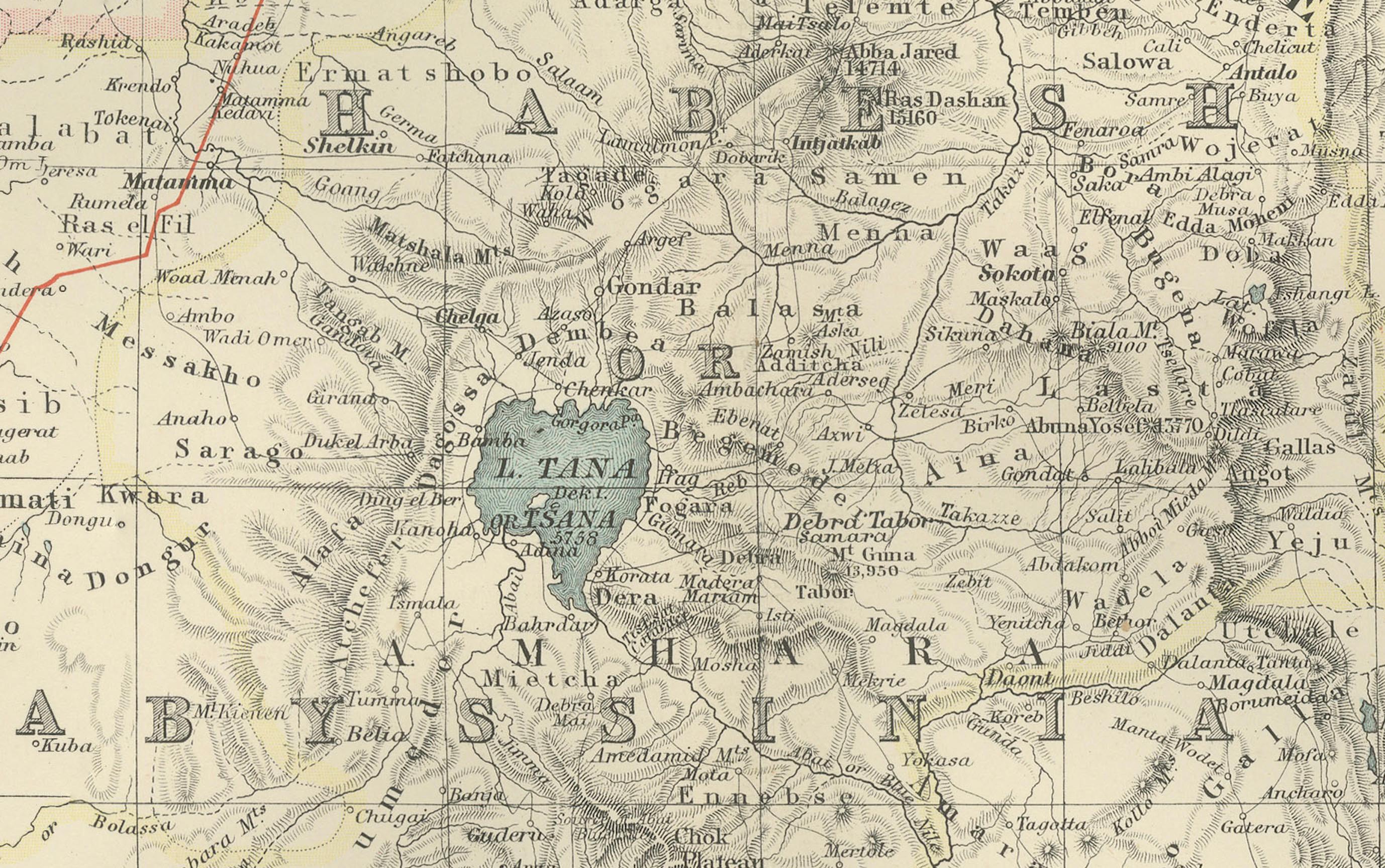
Abyssinia and Upper Nubia, 1903 - Detailed Map of the Horn of Africa Region
€ 280
One of a kind: this is the sheet in the photographs. Ships from Langweer, the Netherlands.
Date
1903
Sheet size
36.8 × 47 cm (14.5 × 18.5 in)
Condition
Good
Reference
BG-13577-39
Condition
This map is in very good condition for its age, with some light foxing and faint edge wear. The paper remains sturdy, with sharp printed details and vibrant yet subtle color accents.
About this sheet
This fascinating map titled "Abyssinia and Upper Nubia" was engraved, printed, and published by W. & A.K. Johnston in Edinburgh and London in 1903. It offers an intricate look at the political boundaries and natural features of the Horn of Africa region at the turn of the 20th century, capturing territories that are today part of Ethiopia, Eritrea, Sudan, and Djibouti.
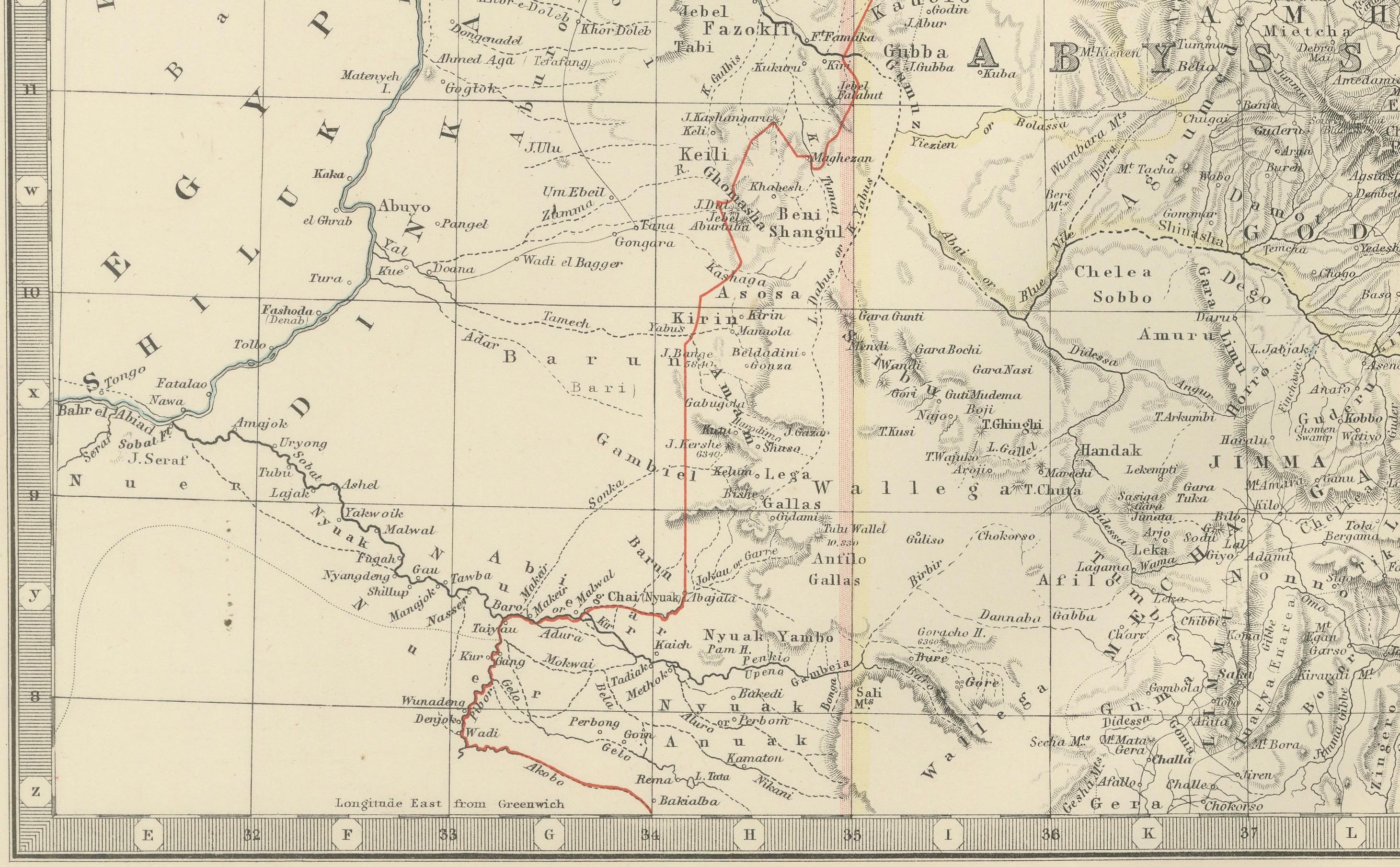
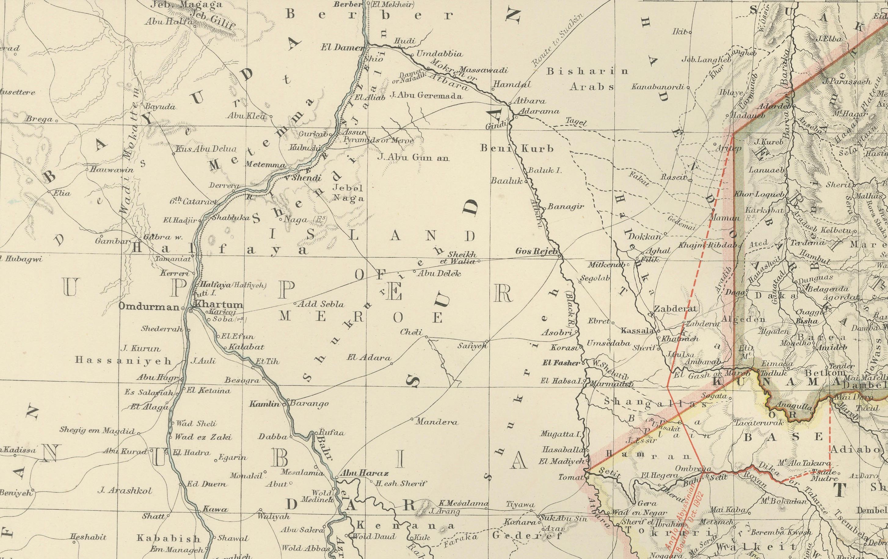
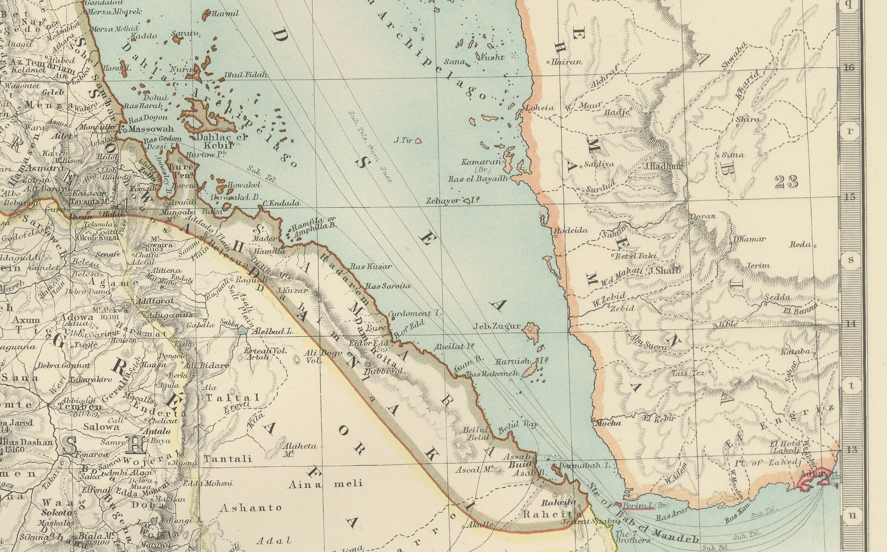
The map meticulously details key regions such as Abyssinia (now Ethiopia), Upper Nubia, and the bordering lands along the Red Sea coast. Rivers, mountain ranges, and trade routes are clearly indicated, showing the geographical complexity of this historically rich area. Towns and settlements of the era, along with significant features like the Nile’s headwaters and the Gulf of Aden, are thoughtfully depicted.
A highlight of the map is its depiction of the rugged and mountainous terrain of Abyssinia, known for its unique Christian kingdom and resistance to European colonization. It also shows the coastal regions of the Red Sea, a vital link for trade and travel between Africa, the Middle East, and Asia.
Collectors and historians will appreciate this map’s clean, detailed engraving and muted color palette. It provides a glimpse into the geopolitical and cultural landscape of the region during an era of European imperial interest and local resistance.
Condition report: This map is in very good condition for its age, with some light foxing and faint edge wear. The paper remains sturdy, with sharp printed details and vibrant yet subtle color accents.
Framing tips: For best display, consider a dark wood or natural oak frame with a cream mat to complement the map’s classic look. A museum-quality glass will enhance the colors and protect this historical document, making it an excellent centerpiece for a study or library.