Antique Maps of Western Europe
1,929 original sheets
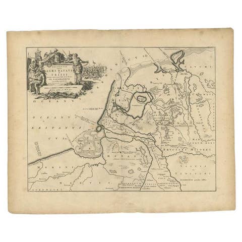
Antique Map of the Old Land of Batavia and FriesLand, The Netherlands, 1697
1697 · € 189
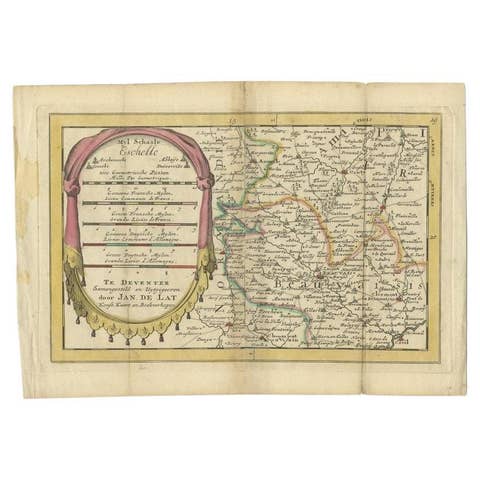
Antique Map of the Region of Beauvais in France, 1737
1737 · € 124
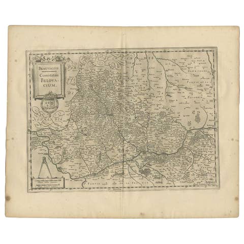
Antique Map of the Region of Beauvais by Janssonius, 1657
1657 · € 320
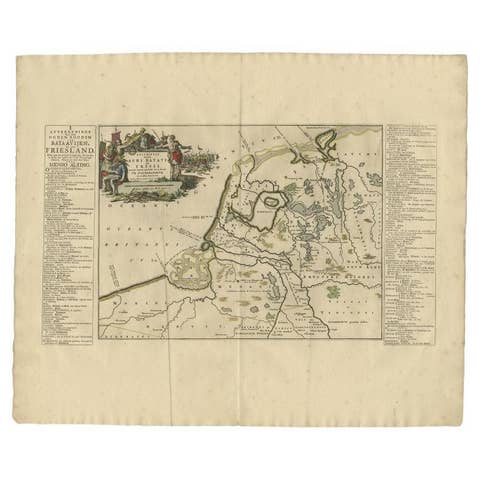
Antique Map of the Old Land of Batavia and Friesland by Halma, 1718
1718 · € 255
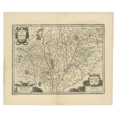
Antique Map of the Region of Blois by Janssonius, c.1650
1650 · € 313
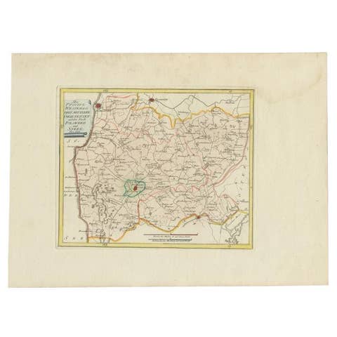
Bolsward & Sneek, Westergo (Friesland) – von Reilly antique map, 1791
1791 · € 240
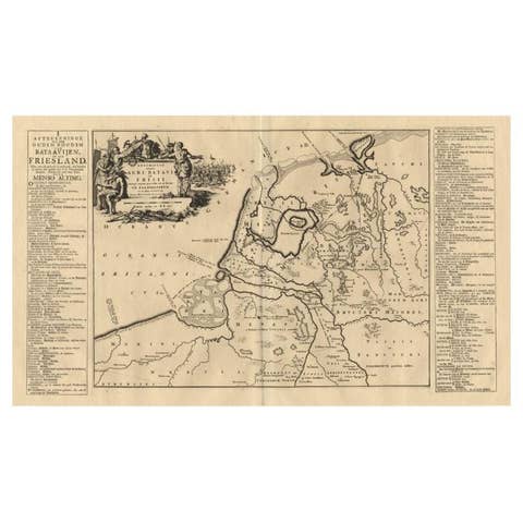
Antique Map of the Old Land of Batavia and Friesland by Halma, 1718
1718 · € 230
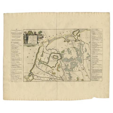
Antique Map of the Old Lands of FriesLand by Halma, 1718
1718 · € 255
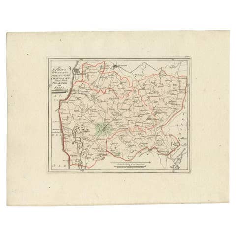
Antique Map of the Region of Bolsward and Sneek by Von Reilly, 1791
1791 · € 158
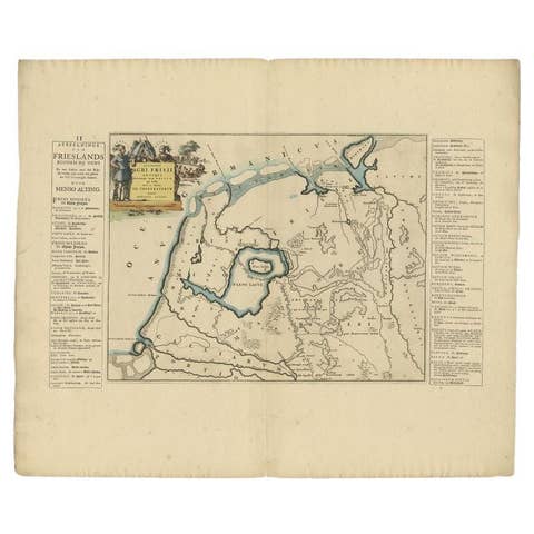
Antique Map of the Old Lands of Friesland by Halma, 1718
1718 · € 230
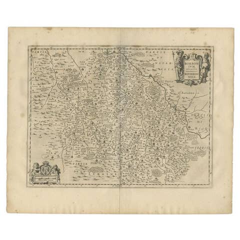
Antique Map of the Region of Bourbon by Janssonius, 1657
1657 · € 413
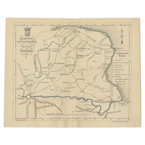
Antique Map of the Oost-Dongeradeel Township by Behrns, 1861
1861 · € 89
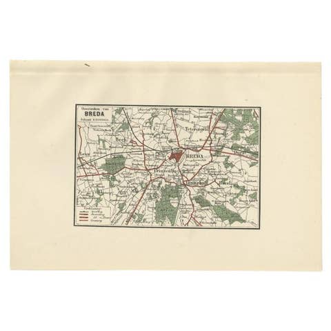
Antique Map of the Region of Breda by Craandijk, 1884
1884 · € 87
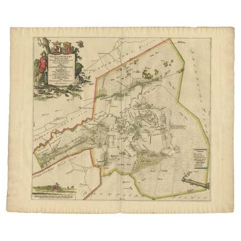
Antique Map of the Ooststellingwerf Township Friesland by Halma, 1718
1718 · € 389
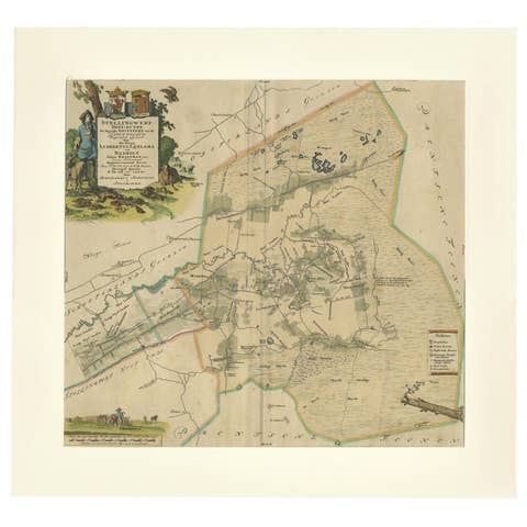
Antique Map of the Ooststellingwerf Township Friesland by Halma, 1718
1718 · € 420
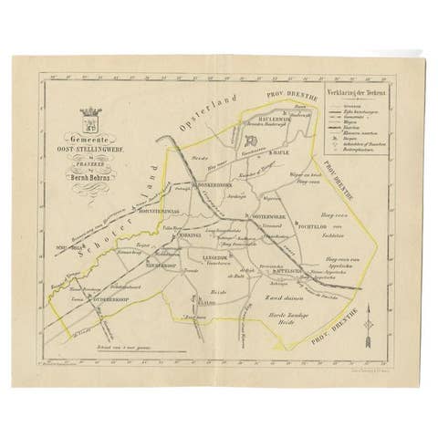
Antique Map of the Oost-Stellingwerf Township by Behrns, 1861
1861 · € 89
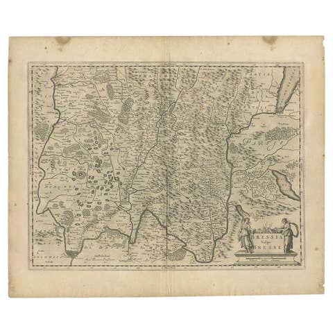
Antique Map of the Region of Bresse by Janssonius, 1657
1657 · € 320
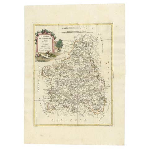
Antique Map of the Region of Brie and Champagne by Zatta, 1779
1779 · € 339
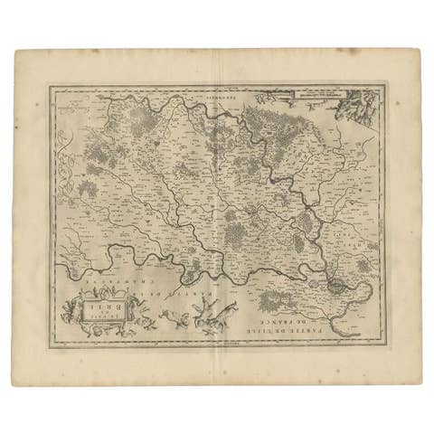
Antique Map of the Region of Brie by Janssonius, 1657
1657 · € 343
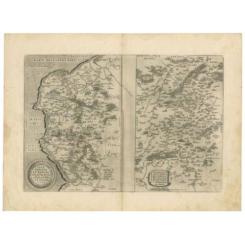
Antique Map of the Region of Calais and The Vermandois Region by Ortelius
€ 289
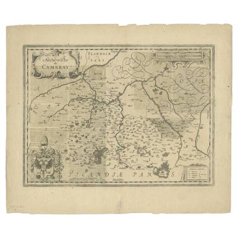
Antique Map of the Region of Cambrai in France, c.1630
1630 · € 440
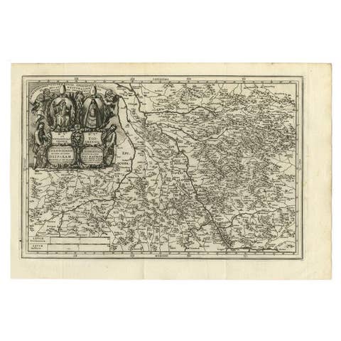
Antique Map of the Region of Cologne and Liege by Scherer, 1699
1699 · € 225
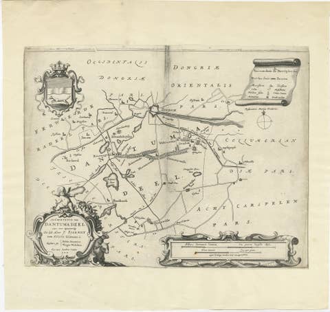
Antique Map of the Region of Dantumadeel by Schotanus, 1664
1664 · € 140
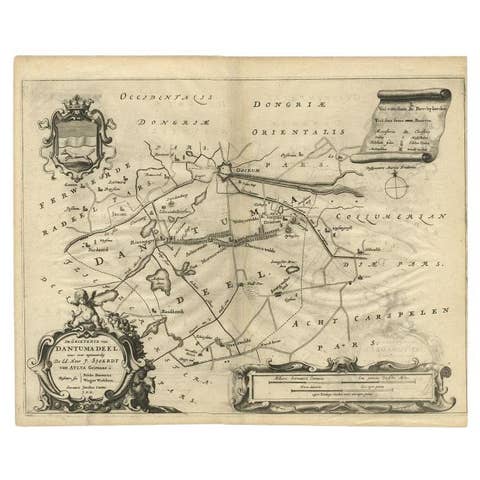
Antique Map of the Region of Dantumadeel, Friesland, The Netherlands, 1664
1664 · € 195
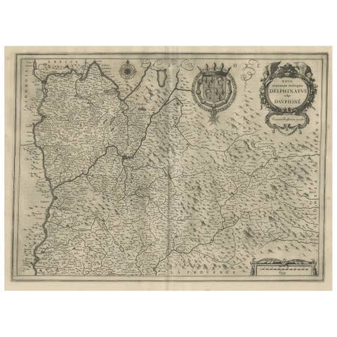
Antique Map of the Region of Dauphiné by Janssonius, 1657
1657 · € 480
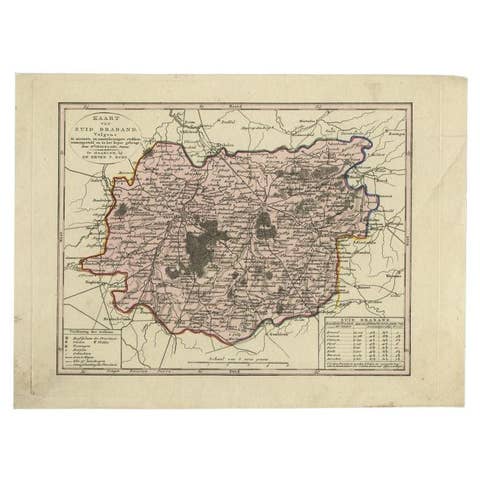
Antique Map of the Province of Brabant in Belgium by Veelwaard, C.1840
1840 · € 120
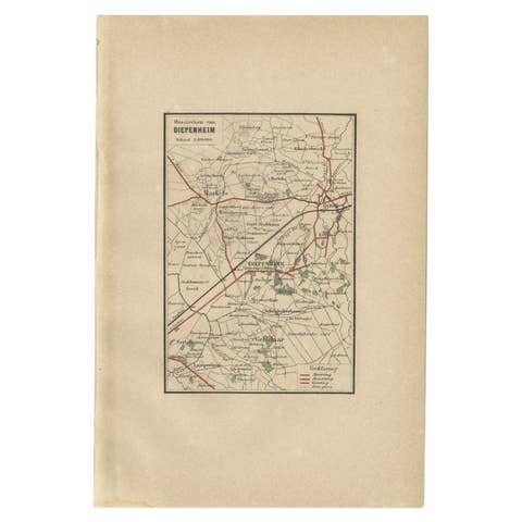
Antique Map of the Region of Diepenheim by Craandijk, 1884
1884 · € 87
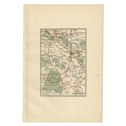
Antique Map of the Region of Doetinchem by Craandijk, 1884
1884 · € 87
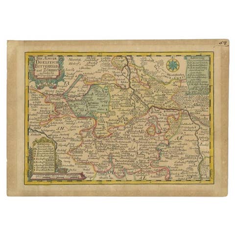
Antique Map of the Region of Dölitzsch by Schreiber, 1749
1749 · € 93
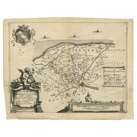
Antique Map of the Region of Dongeradeel by Schotanus, 1664
1664 · € 148
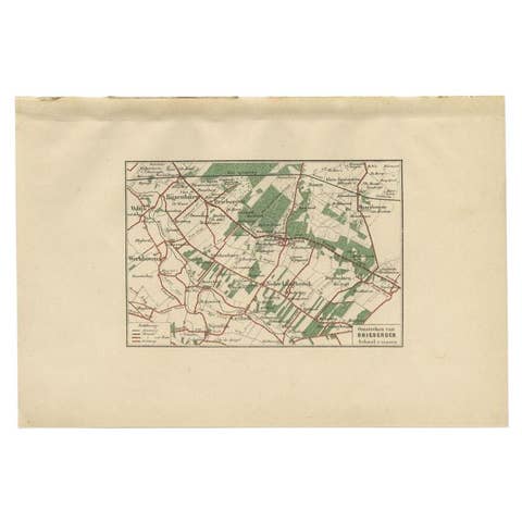
Antique Map of the Region of Driebergen by Craandijk, 1884
1884 · € 87
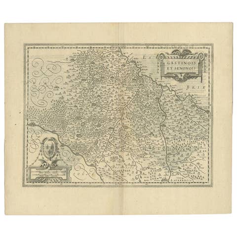
Antique Map of the Region of Étampes and Sens by Janssonius, c.1650
1650 · € 355
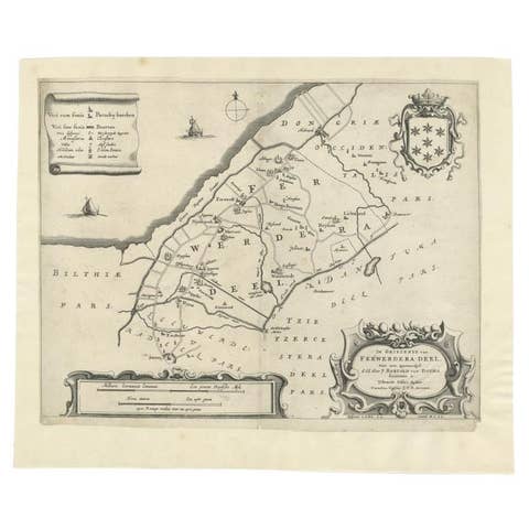
Antique Map of the Region of Ferwerderadeel in The Netherlands, 1664
1664 · € 160
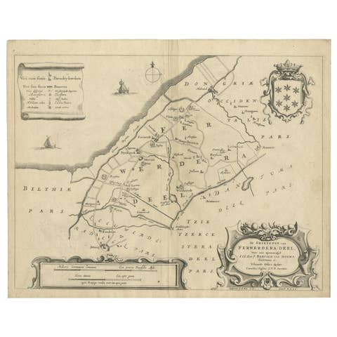
Antique Map of the Region of Ferwerderadeel by Schotanus, 1664
1664 · € 110
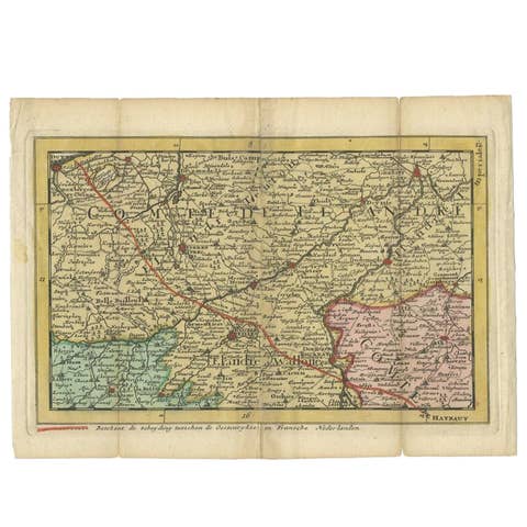
Antique Map of the Region of Flanders in Belgium, 1737
1737 · € 169
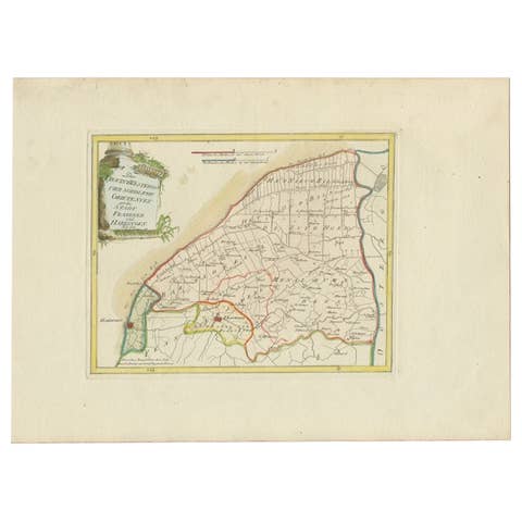
Rare 1791 von Reilly Map of Franeker and Harlingen, Friesland, Netherlands
1791 · € 390
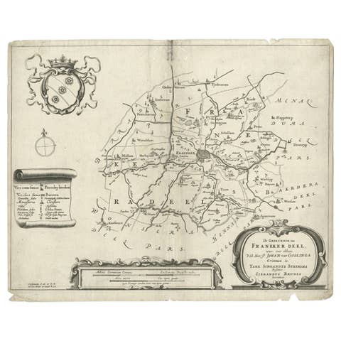
Rare Antique Map of the Region of Franekeradeel, The Netherlands 1664
1664 · € 123
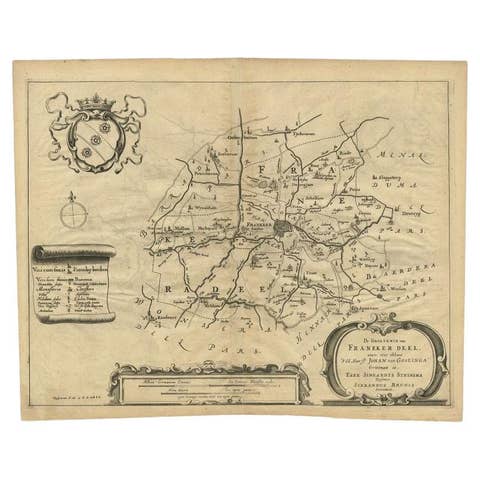
Antique Map of the Region of Franekeradeel, Friesland, The Netherlands, 1664
1664 · € 195
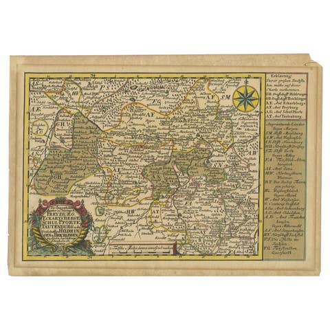
Rare Antique Map of the Region of Freyburg in Germany, 1749
1749 · € 93
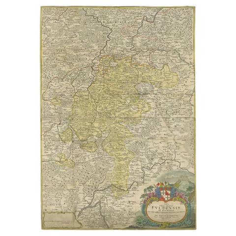
Antique Map of the Region of Fulda by Homann, c.1730
1730 · € 195
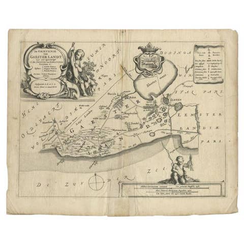
Antique Map of the Region of Gaasterland, Friesland, The Netherlands, 1664
1664 · € 120
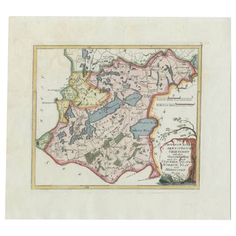
Antique Map of the Region of Gaasterland, Friesland, The Netherlands, 1791
1791 · € 360
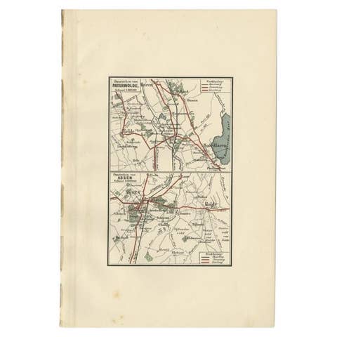
Antique Map of the Region of Paterwolde and Assen by Craandijk, 1884
1884 · € 87

Antique Map of the Region of 's-Graveland by Kuyper, c.1870
1870 · € 80
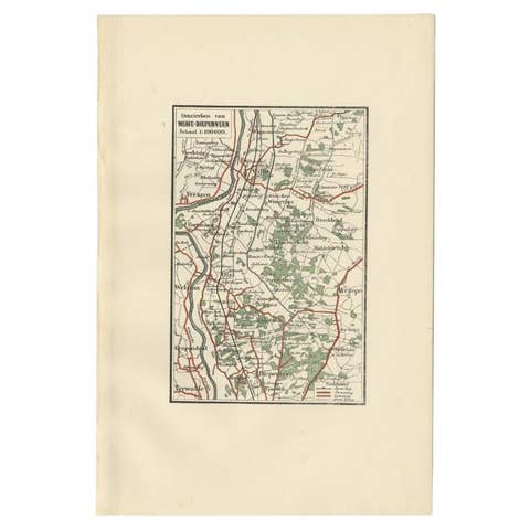
Antique Map of the Region of Wijhe-Diepenveen by Craandijk, 1884
1884 · € 87
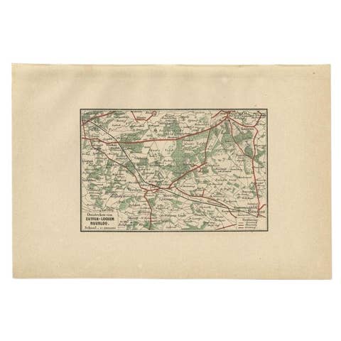
Antique Map of the Region of Zutphen by Craandijk, 1884
1884 · € 87
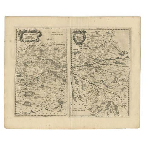
Antique Map of the Region of Perce and Blois by Janssonius, 1657
1657 · € 343
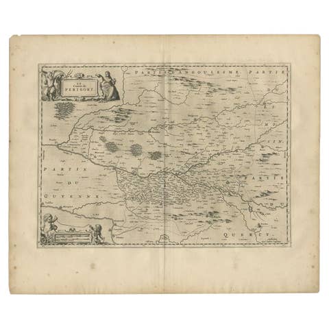
Antique Map of the Region of Périgord by Janssonius, 1657
1657 · € 354