Antique Maps of Europe
2,956 original sheets
Western Europe 1908Northern Europe 146Central Europe 88Eastern Europe 102South-East Europe 135Southern Europe 275Europe as a Whole 169
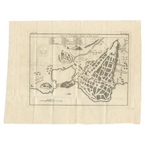
Antique Plan of Ancient Syracuse, Plan of ancient Syracuse, Sicily, Italy
€ 180
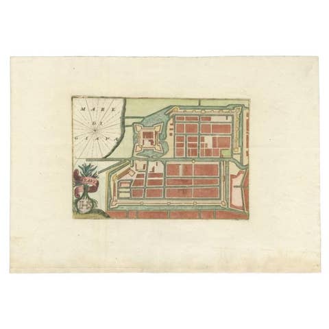
Antique Plan of Batavia in the Dutch East Indies or Nowadays Jakarta, Indonesia
€ 605
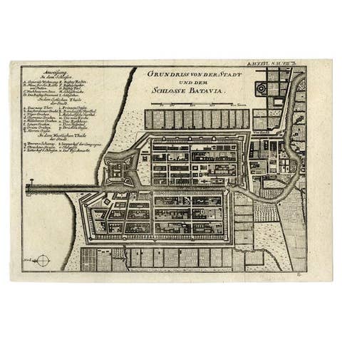
Antique Plan of Batavia and the Castle in the Dutch East Indies, 1763
1763 · € 390
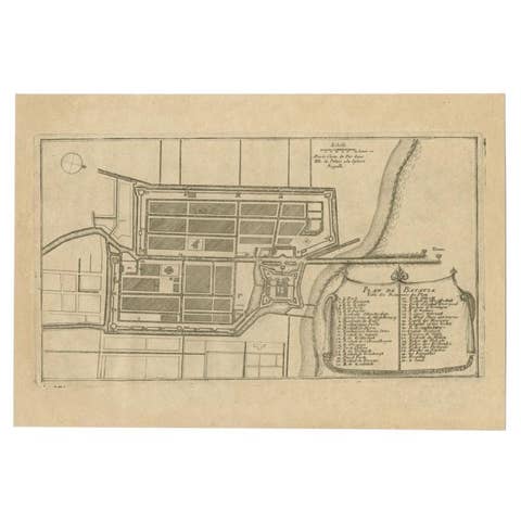
Antique Plan of Batavia in the Dutch East Indies or Indonesia, circa 1695
1695 · € 290
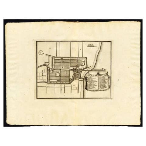
Antique Plan of Batavia, Capital of the Dutch East Indies, by Van Der Aa, 1725
1725 · € 570
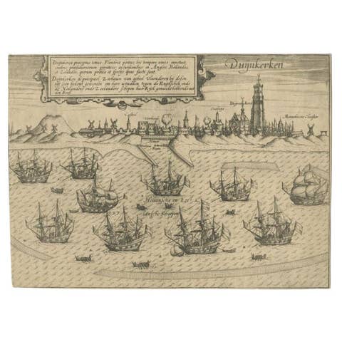
Antique Plan of Duinkerke or Dunkirk in France by Guicciardini, 1612
1612 · € 151
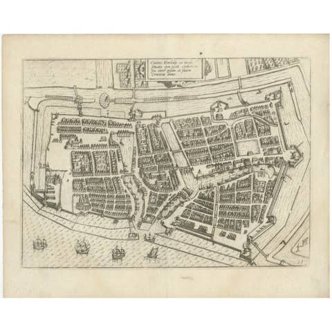
Antique Plan of Emden in Germany by Guicciardini, 1612
1612 · € 380
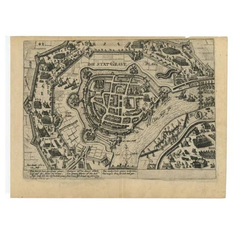
Antique Plan of Grave, The Netherlands, Showing the Siege of Grave in 1602
1602 · € 293
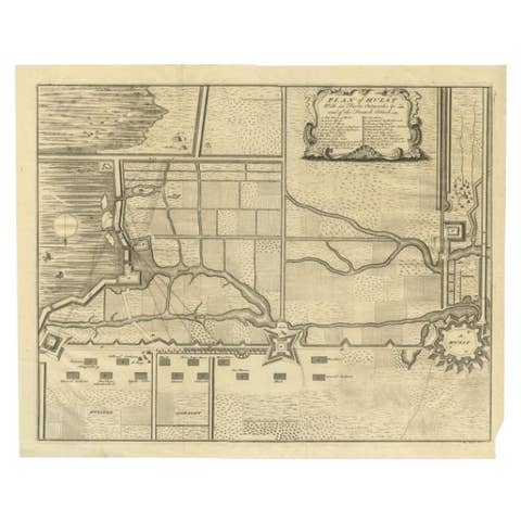
Plan of Hulst with its Forts and Outworks, Holland, War of Spanish Succession
€ 340
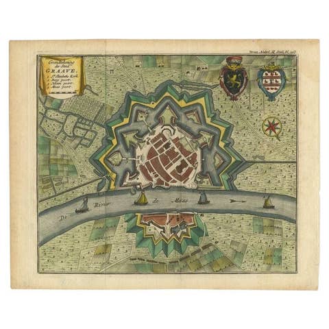
Antique Plan of the City of Grave, Holland - Coats of Arms & Compass Rose, 1750
1750 · € 220
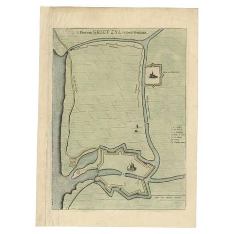
Antique Plan of the Fortress of Greetsiel, Germany, by Blaeu, c.1650
1650 · € 330
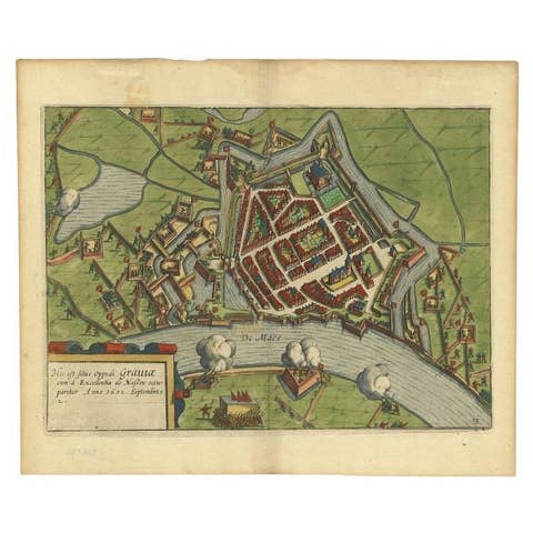
Antique Plan of the Siege of Grave by Guicciardini, c.1608
1608 · € 480
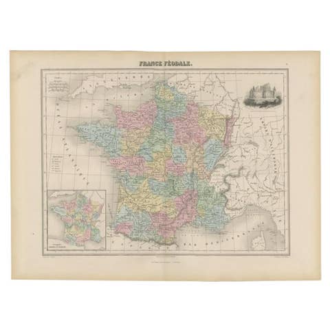
Antique Political Map of France, 1880
1880 · € 120
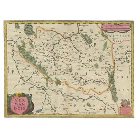
Antique Map of the Vermandois Region 'Picardy' in France by Janssonius, C.1640
1640 · € 440
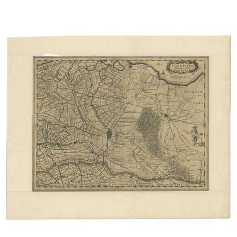
Original Antique Map of Utrecht in the Netherlands by Blaeu, C.1645
1645 · € 550
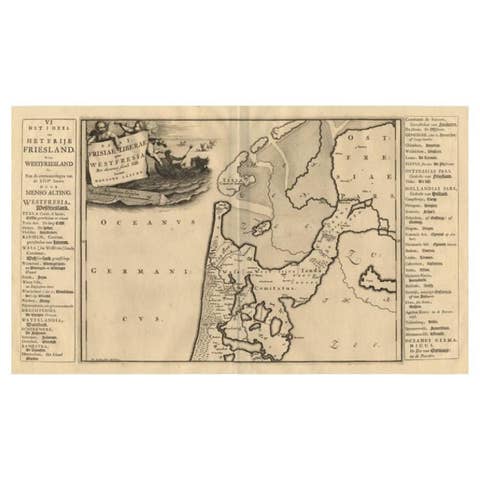
Antique Map of the West-Frisian Part of Independant Friesland by Halma, 1718
1718 · € 185
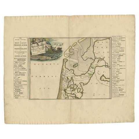
Antique Map of the West-Frisian part of independent Friesland by Halma, 1718
1718 · € 255
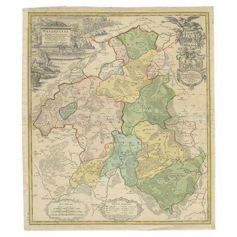
Antique Map of the Waldeck Region of Germany by Homann Heirs, circa 1733
1733 · € 330

Antique Map of the Vitim and Lena Rivers, Russia, 1768
1768 · € 126
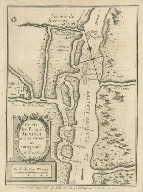
Antique Map of the Yenisei River in Siberia, Russia, 1768
1768 · € 280
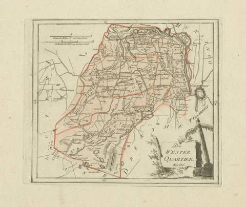
Antique map Westerkwartier Groningen by von Reilly, Vienna, 1791
1791 · € 340
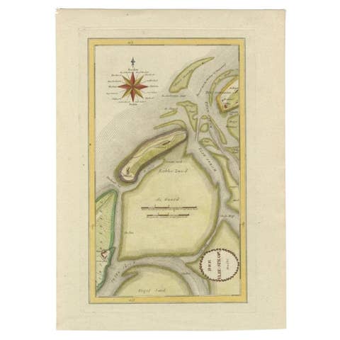
Antique Map of the Wadden Islands, 1792
1792 · € 300
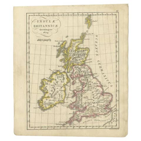
Antique Map of the United Kingdom and Ireland, circa 1825
1825 · € 140

Antique 1842 Map of Turkey and Greece by Pierre M. Lapie, 68x50.5 cm
1842 · € 248
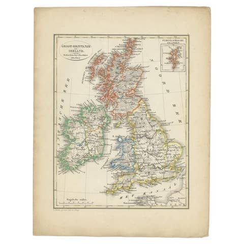
Antique Map of the United Kingdom and Ireland, 1852
1852 · € 130
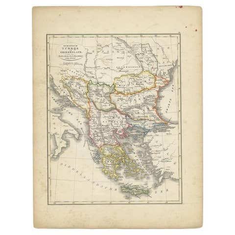
Antique Map of Turkey and Greece, 1852
1852 · € 120
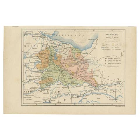
Antique Map of Utrecht in The Netherlands, 1883
1883 · € 220
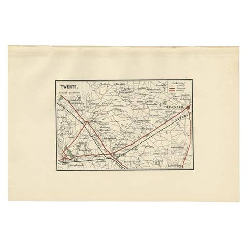
Antique Map of the Region of Twente, in The East of The Netherlands, 1884
1884 · € 160
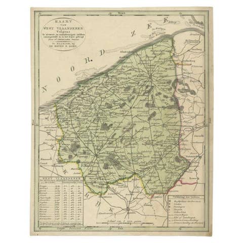
Antique Map of West Flanders in Belgium, c.1840
1840 · € 290

Original Antique Map of West Europe, circa 1870
1870 · € 169
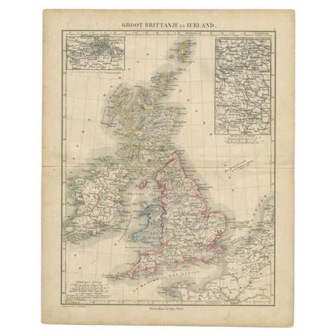
Antique Map of the United Kingdom and Ireland, c.1873
1873 · € 125

Antique Map of Turkey and Greece by Petri, c.1873
1873 · € 120
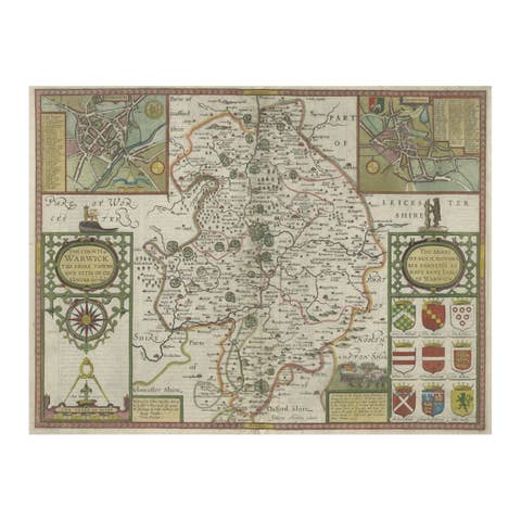
Antique Map of Warwickshire in England by Speed, c.1614
1614 · € 760
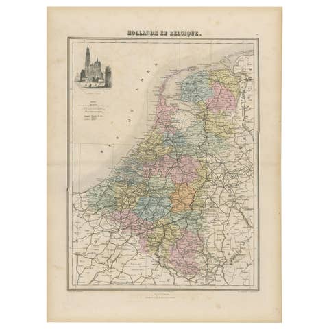
Antique Map of the Netherlands and Belgium, circa 1880
1880 · € 190
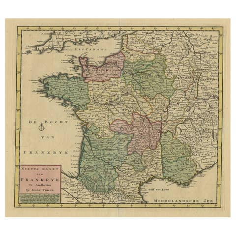
Antique Map of France by Tirion, c.1740
1740 · € 450
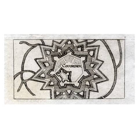
Antique Map of Coevorden in the Netherlands, 1691
1691 · € 90
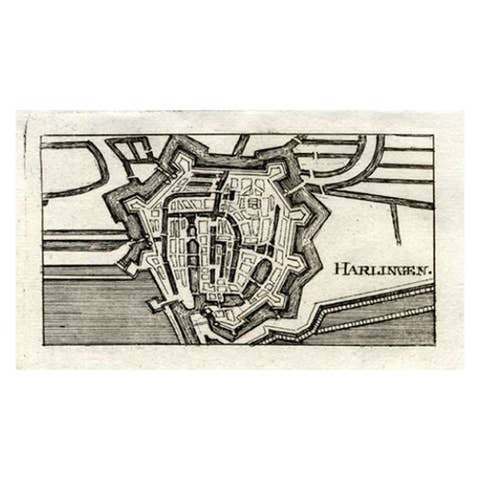
Antique Map of Harlingen, Harbour City in the Netherlands, 1691
1691 · € 140
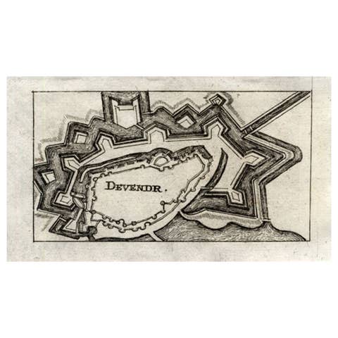
Antique Map of Deventer in the Netherlands, 1691
1691 · € 130
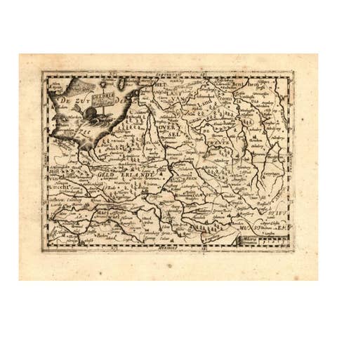
Antique Map of Gelderland and Overijssel by Guicciardini, 1613
1613 · € 280
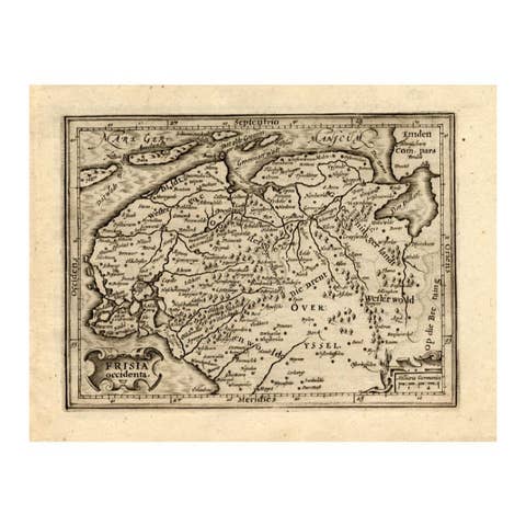
Antique Map of Friesland by Guicciardini, 1613
1613 · € 280
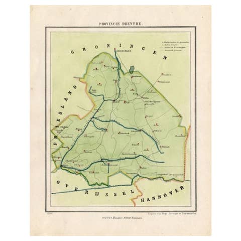
Antique Map of The Province of Drenthe in the Northern Netherlands, 1865
1865 · € 220
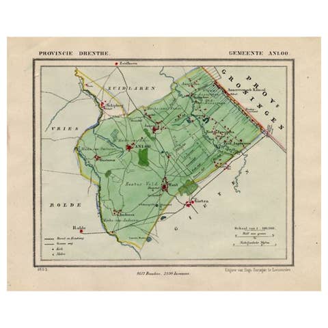
Antique Map of the Township of Anloo in the Netherlands, 1865
1865 · € 140
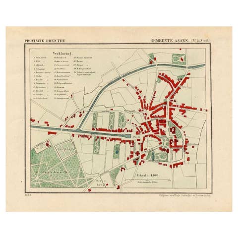
Antique Map of the City of Assen in The Netherlands, 1865
1865 · € 290
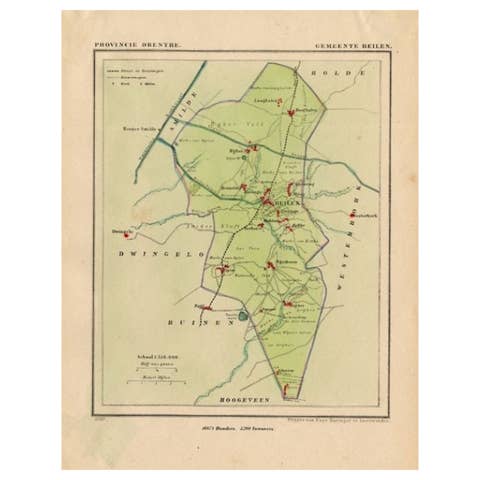
Original Antique Map of the Township of Beilen in the Netherlands, 1865
1865 · € 190
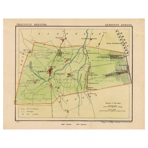
Original Antique Map of the Township of Borger in The Netherlands, 1865
1865 · € 180
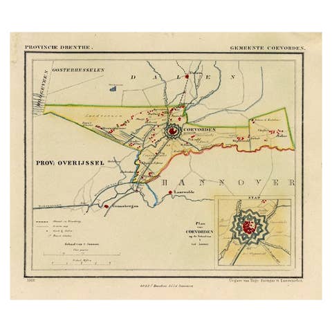
Antique Map of the Township of Coevorden in The Netherlands, 1865
1865 · € 150
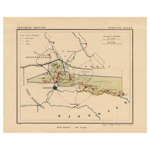
Antique Map of the Township of Dalen, Schoonebeek in The Netherlands, 1865
1865 · € 170
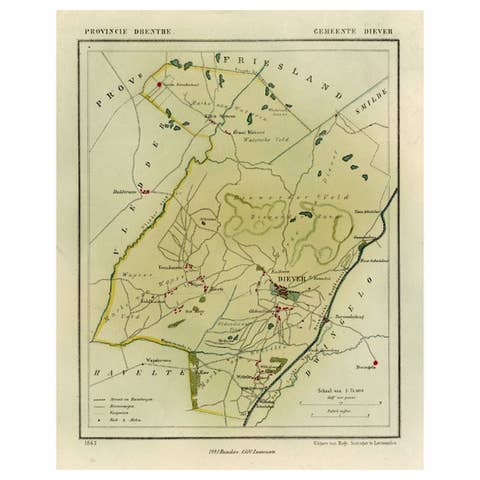
Antique Map of the Township of Diever, Drenthe in The Netherlands, 1865
1865 · € 140