Antique Maps of Europe
2,956 original sheets
Western Europe 1908Northern Europe 146Central Europe 88Eastern Europe 102South-East Europe 135Southern Europe 275Europe as a Whole 169
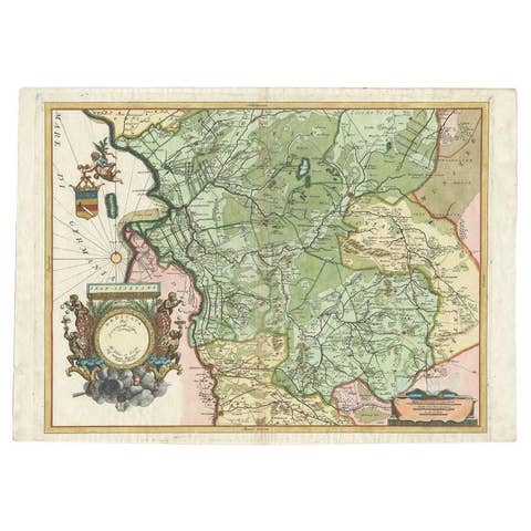
Antique Map of the Province of Overijssel by Coronelli, c.1692
1692 · € 539
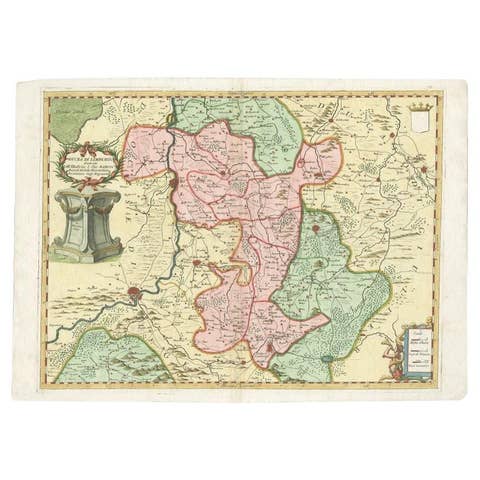
Antique Map of the Province of Limburg by Coronelli, 1692
1692 · € 516
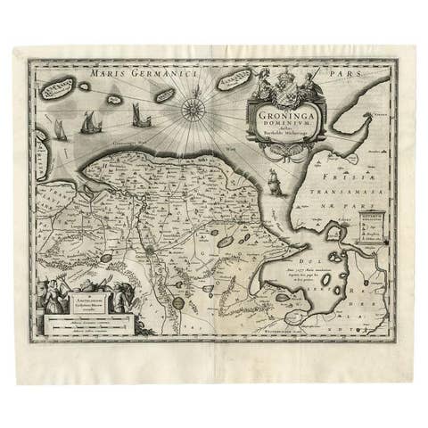
Antique Map of the Province of Groningen by Blaeu, 1635
1635 · € 588
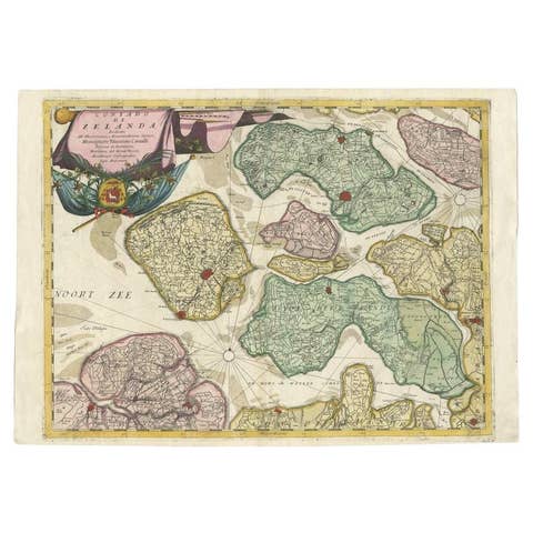
Antique Map of the Province of Zeeland, The Netherlands by Coronelli, 1692
1692 · € 670
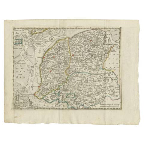
Antique Map of the Province of Friesland by Keizer & De Lat, 1788
1788 · € 220
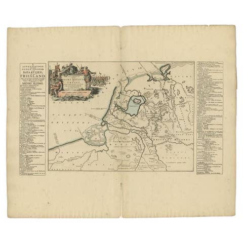
Antique Map of the Old Land of Batavia and FriesLand by Halma, 1718
1718 · € 185

Antique Map of the Islands of Schiatti and Scopoli, Greece, 1687
1687 · € 175
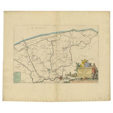
Antique Map of the Dongeradeel Township in Friesland, The Netherlands, 1718
1718 · € 490
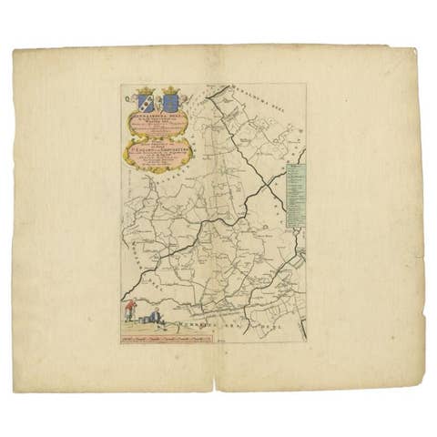
Antique Map of the Hennaarderadeel Township 'Friesland' by Halma, 1718
1718 · € 298
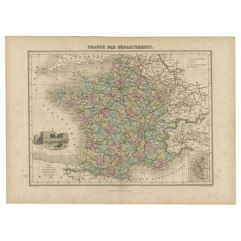
Antique Map of the Departments of France by Migeon, 1880
1880 · € 120
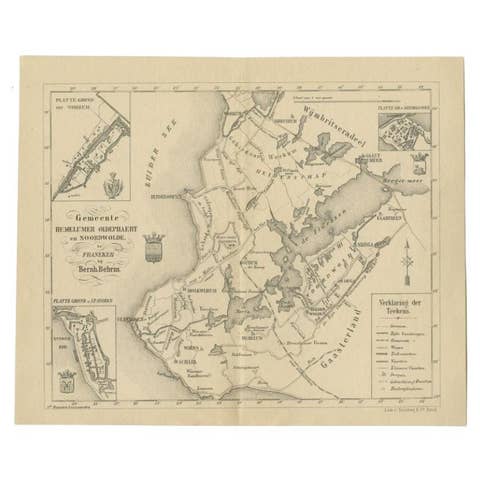
Antique Map of the Hemelumer Oldeferd Township by Behrns, 1861
1861 · € 89
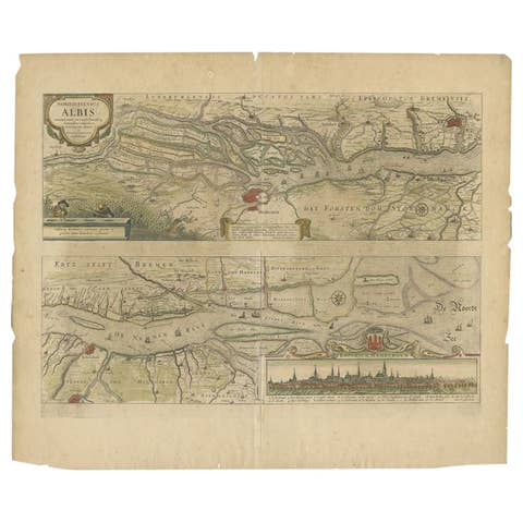
Antique Map of the Course of the Elbe River by Janssonius, c.1650
1650 · € 445
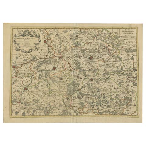
Antique Map of the County of Hainaut by Jaillot, 1692
1692 · € 223
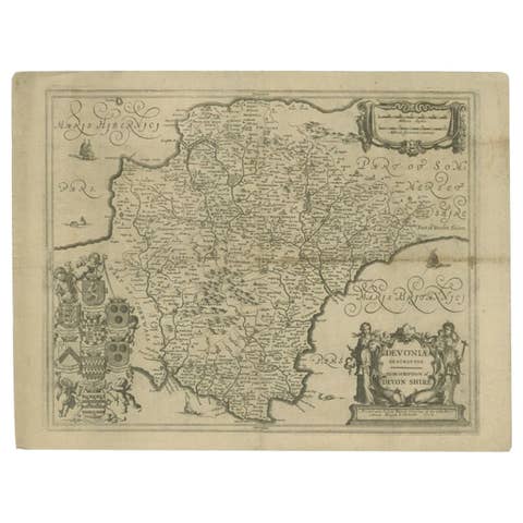
Antique Map of the County of Devon by Overton, 1713
1713 · € 289
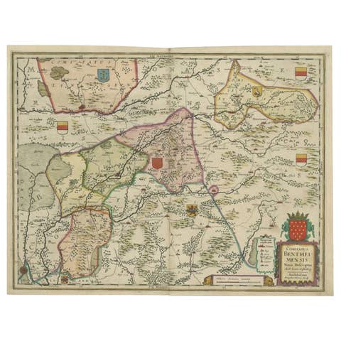
Antique Map of the County of Bentheim by Hondius, c.1630
1630 · € 410
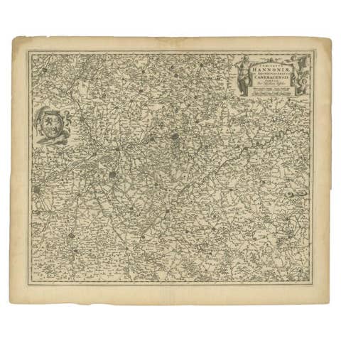
Antique Map of the Hainaut Region by Visscher, c.1690
1690 · € 325
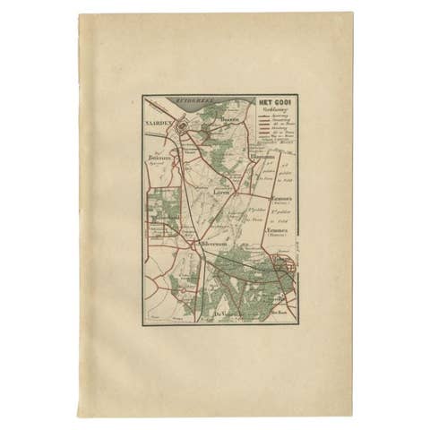
Antique Map of the Gooi Region by Craandijk, 1884
1884 · € 87
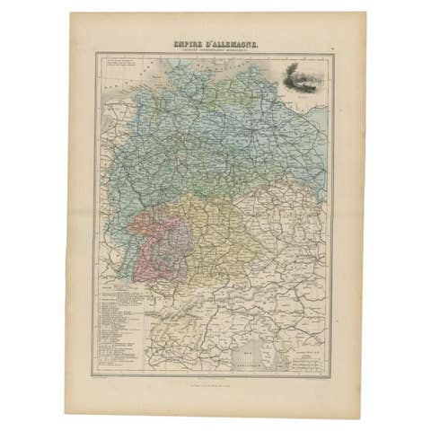
Antique Map of the German Empire by Migeon, 1880
1880 · € 110
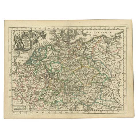
Antique Map of the German Empire by Le Rouge, 1743
1743 · € 155
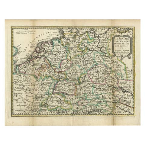
Antique Map of the German Empire by De Leth, 1749
1749 · € 168
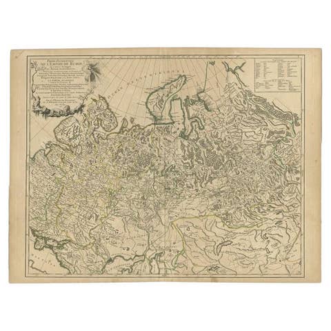
Antique Map of the Russian Empire in Europe by Vaugondy, 1750
1750 · € 340
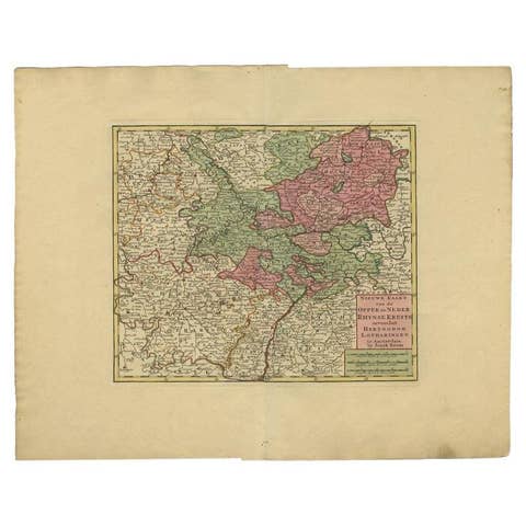
Antique Map of the Rhineland and Lotharingen by Tirion, c.1740
1740 · € 273
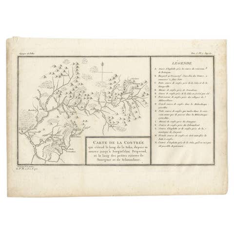
Antique Map of the Region of the Sok River in Russia, 1794
1794 · € 280
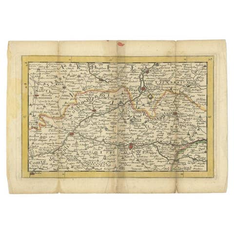
Antique Map of the Region of Soissons in France, 1737
1737 · € 128
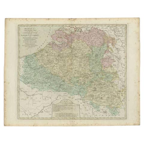
Antique Map of the Southern Netherlands by Bowles, c.1780
1780 · € 295

Antique Map of the South Part of Great Britain by Tirion, c.1750
1750 · € 450
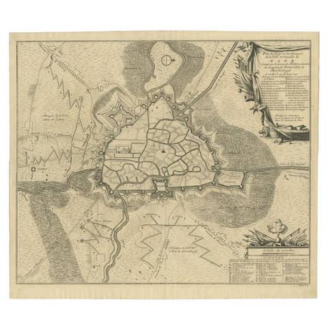
Antique Map of the Siege of Gent by Dumont, 1729
1729 · € 335
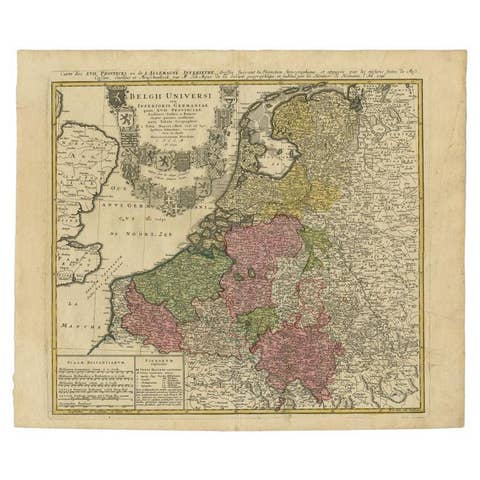
Antique Map of the Seventeen Provinces of Netherlands, Belgium, Luxembourg, 1748
1748 · € 460
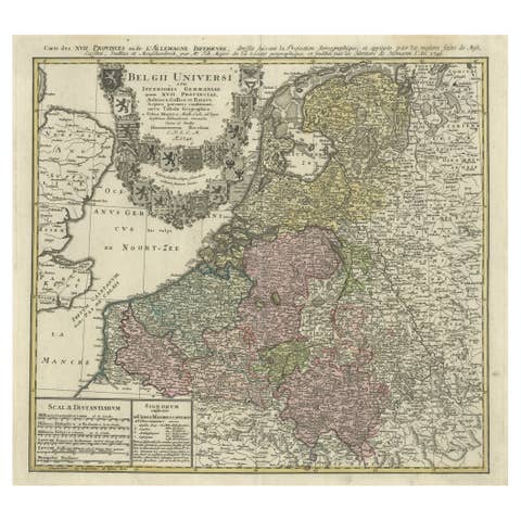
Antique Map of the Seventeen Provinces by Homann Heirs, 1748
1748 · € 550
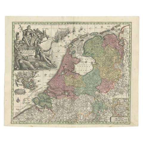
Antique Map of the Seven United Provinces of Holland by Seutter, 1727
1727 · € 725
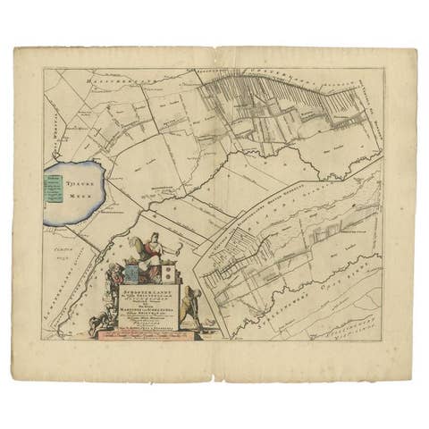
Antique Map of the Schoterland Township, Friesland by Halma, 1718
1718 · € 335
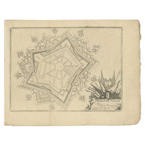
Antique Plan of Philippeville in Wallonia, Belgium, 1769
1769 · € 120
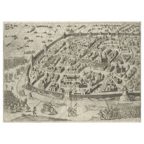
Engraving of Tienen in the province of Flemish Brabant, in Flanders, Belgium
€ 280
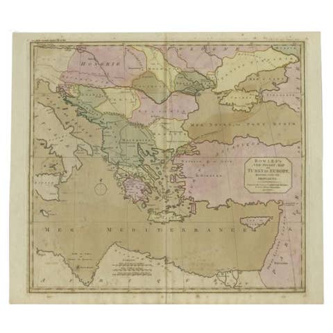
Antique Map of Turkey in Europe, c.1780
1780 · € 490

Antique Map of Upper Saxony in Germany by Tirion, circa 1740
1740 · € 480

Detailed Original Antique Map of Turkey in Europe, circa 1740
1740 · € 340
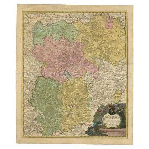
Antique Map of Vlaams-Brabant by Homann Heirs, c.1720
1720 · € 328

French Geographical, Statistical and Historical Map of Pensylvania, 1825
1825 · € 480
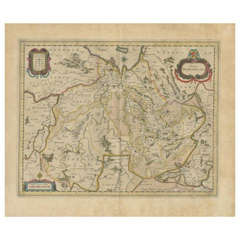
Antique Map by Janssonius of the Dutch Province of Overijsel, ca.1650
1650 · € 440
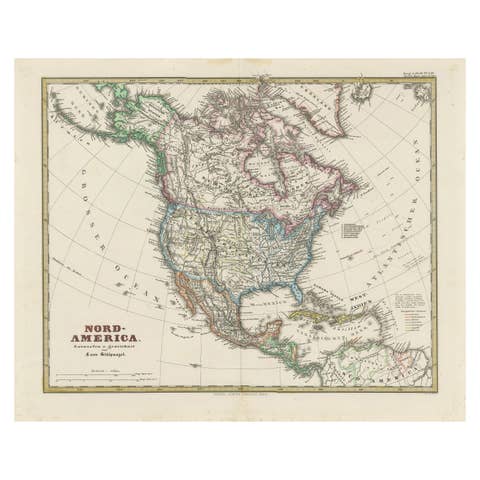
Old German Map of Northern America with Attractive Hand Coloring, 1864
1864 · € 360
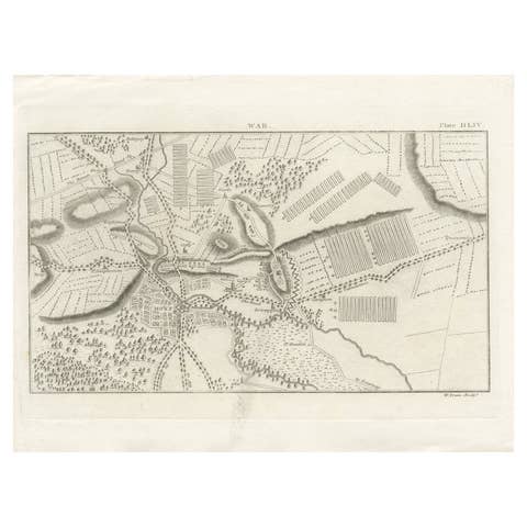
Antique War Map of the Region of Mons 'Bergen', Belgium, circa 1810
1810 · € 130
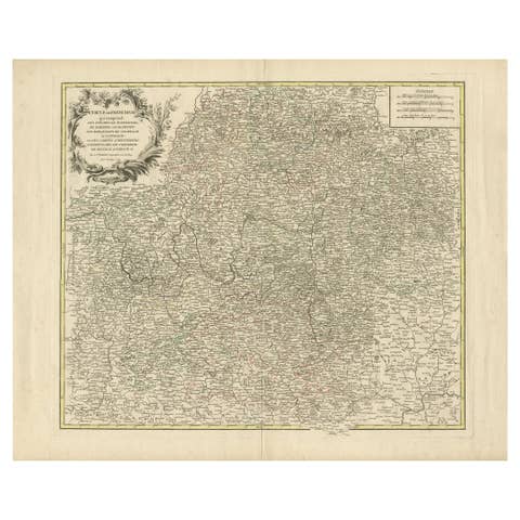
Antique Map of the Circle of Franconia, 1757
1757 · € 680
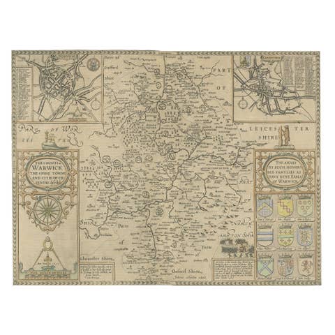
Antique Map of Warwickshire by Speed, c.1614
1614 · € 470
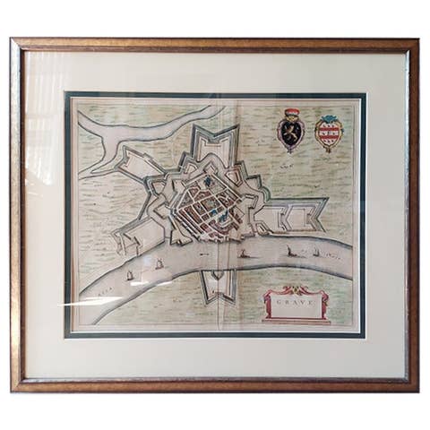
Antique Map of the City of Grave by Blaeu, 1649
1649 · € 465
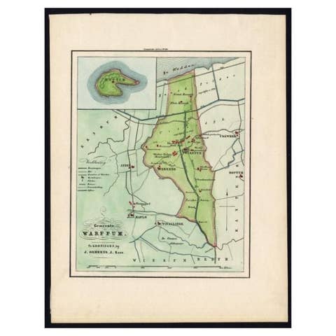
Original Antique Map of the township of Warffum in The Netherlands, 1862
1862 · € 160
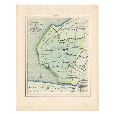
Original Antique Map of Township Ulrum in Groningen, The Netherlands, 1862
1862 · € 160
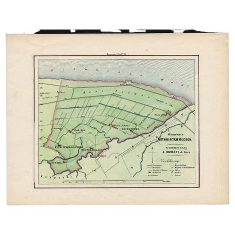
Original Antique Map of the Township of Uithuizermeeden, the Netherlands, 1862
1862 · € 160
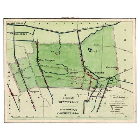
Antique Map of the Township of Muntendam in Groningen, the Netherlands, 1862
1862 · € 190