Antique Maps of Europe
1,158 original sheets
Western Europe 1908Northern Europe 146Central Europe 88Eastern Europe 102South-East Europe 135Southern Europe 275Europe as a Whole 169
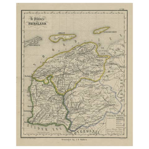
Antique Map of Friesland, Province in The Netherlands, 1864
1864 · € 140
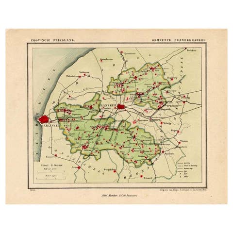
Antique Map of Franekeradeel, Township in Friesland, The Netherlands, 1868
1868 · € 130
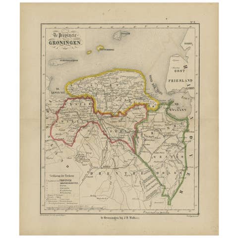
Antique Map of Groningen from a 19th Century Dutch Atlas, 1864
1864 · € 140
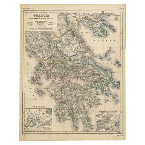
Antique Map of Greece with Two Small Inset Maps of Athens, c.1870
1870 · € 120
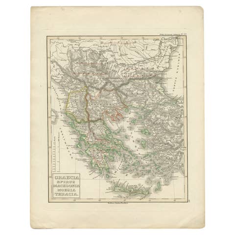
Antique Map of Greece and Macedonia, 1848
1848 · € 250
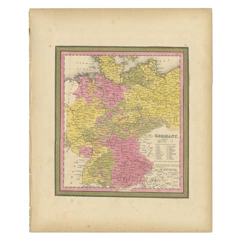
Antique Map of Germany from an American 19th Century Atlas, 1846
1846 · € 123

Antique Map of Germany by Pierre M. Lapie, Engraved, 1842, France
1842 · € 260
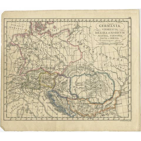
Antique Map of Germany in Roman Times, Showing Roman Provinces, 1825
1825 · € 123

Antique Map of Germany and Switzerland from an Old Dutch School Atlas, 1852
1852 · € 120

Antique Map of Gelderland, Largest Province of The Netherlands, c.1870
1870 · € 110
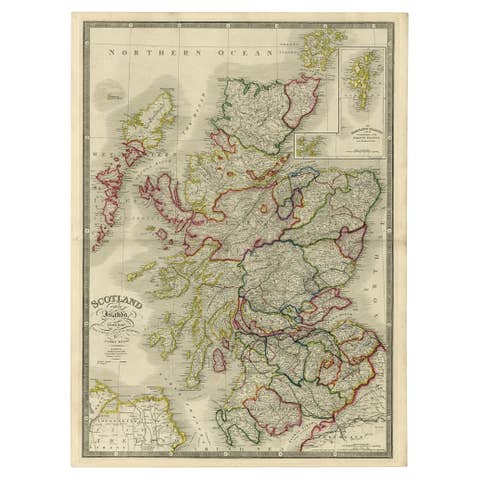
Antique Map of Scotland With an Inset Map of the Shetland Islands, 1854
1854 · € 1 250
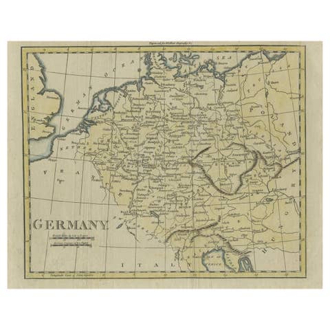
Antique Map of Germany from an Old English Atlas, c.1802
1802 · € 130
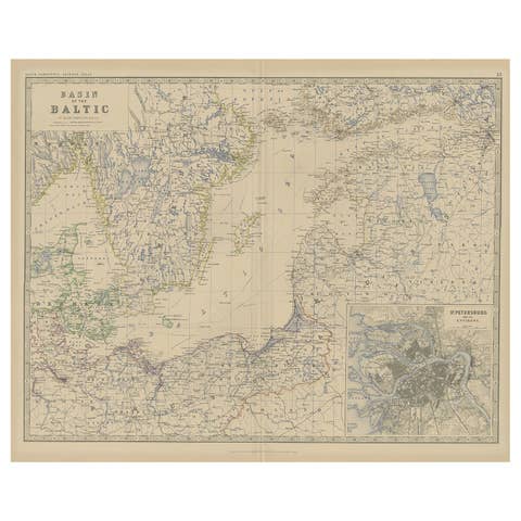
Old Map of the the Baltic Sea Region, Inset of St. Petersburg, 1882
1882 · € 350
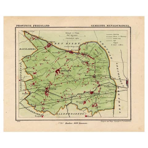
Antique Map of Menaldumadeel, Township in Friesland, The Netherlands, 1868
1868 · € 123
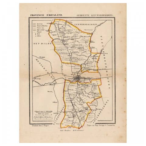
Antique Map of Leeuwarderadeel, Township in Friesland, The Netherlands, 1868
1868 · € 138
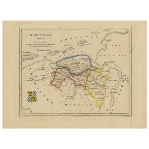
Antique Map of Groningen by Veelwaard, c.1865
1865 · € 95

Antique Map of Italy with Hand-Colored Borders, 1852
1852 · € 220
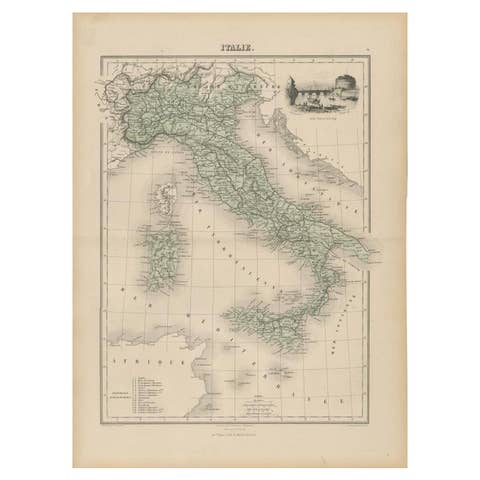
Antique Map of Italy with Vignette of Saint Angu Castle in Rome, 1880
1880 · € 160
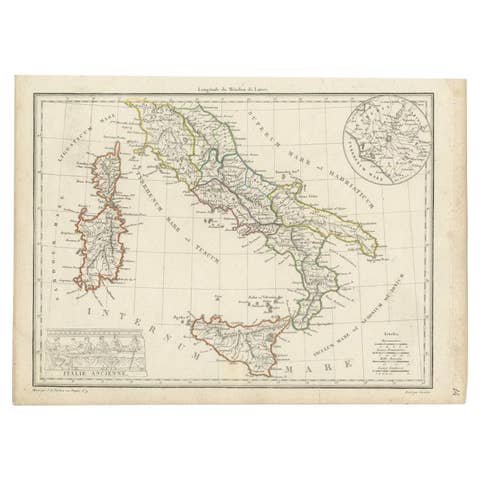
Antique Map of Italy with an Inset of Rome, 1812
1812 · € 160
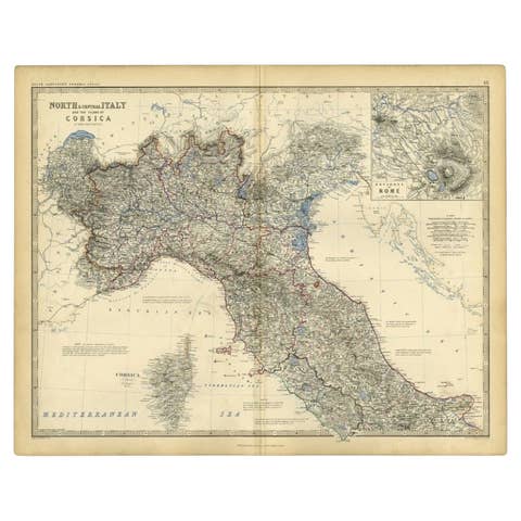
Antique Map of Italy and Corsica, c.1860
1860 · € 110

Antique Map of Italy and Corse in Ancient Times, 1848
1848 · € 260

Antique Map of Iberia or the Iberian Peninsula with Portugal and Spain, 1842
1842 · € 340
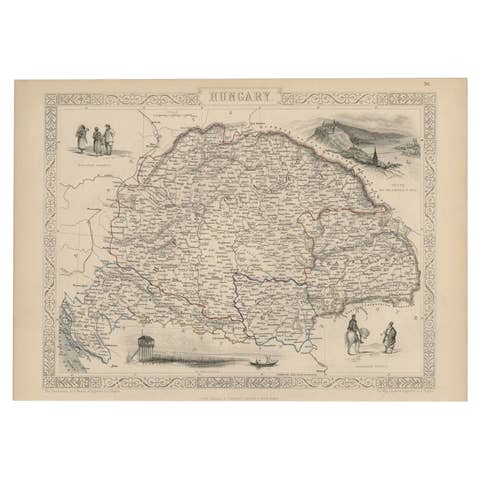
Old Engraved Map of Hungary with Decorative Vignettes, 1851
1851 · € 320
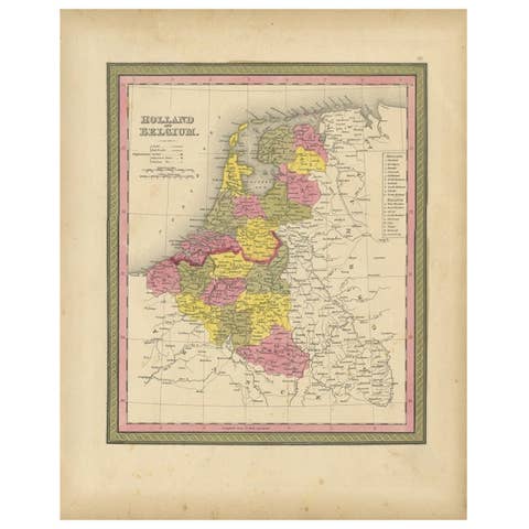
Antique Nicely Colored Map of Holland and Belgium, 1846
1846 · € 130
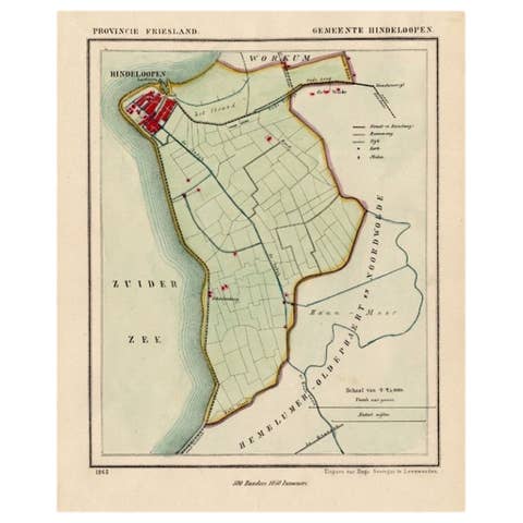
Antique Map of Hindelopen, Picturesque Harbour City in Friesland, Holland, 1868
1868 · € 140
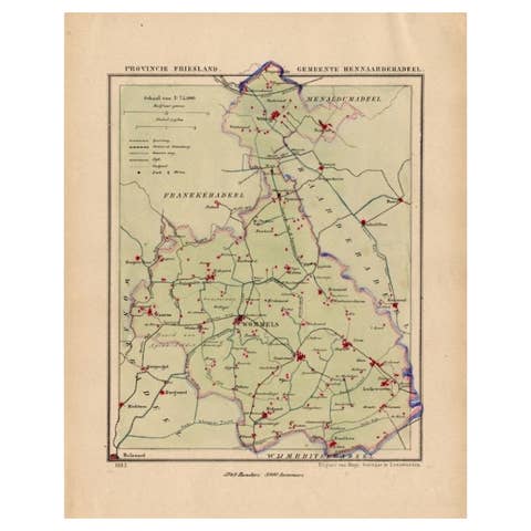
Antique Map of Hennaarderadeel, Township in Friesland, The Netherlands, 1868
1868 · € 130
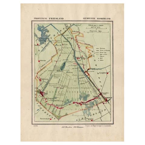
Antique Map of Haskerland, Township in Friesland, The Netherlands, 1868
1868 · € 130
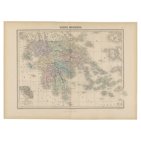
Antique Map of Greece from an Old French School Atlas, 1880
1880 · € 110
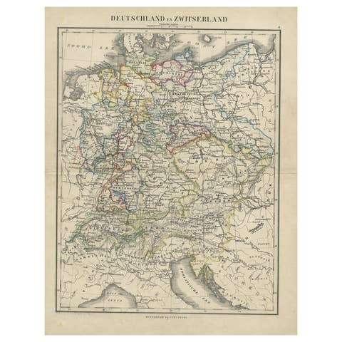
Antique Map of Germany and Switzerland from an Old Dutch School Atlas, c.1873
1873 · € 110
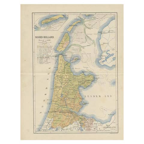
Antique Map of the Dutch Province of Noord-Holland, 1883
1883 · € 135
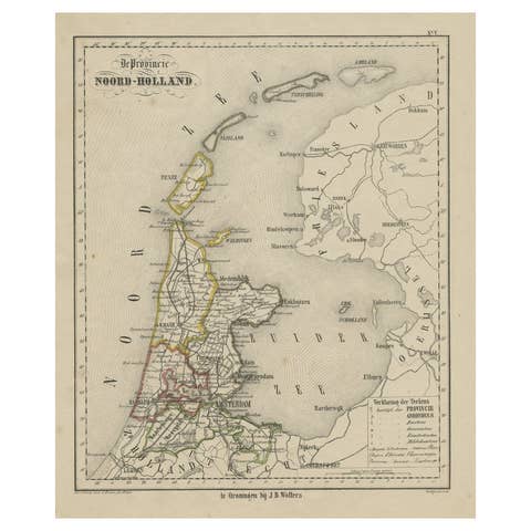
Antique Map of Noord-Holland and the Island Texel in The Netherlands, c.1870
1870 · € 140
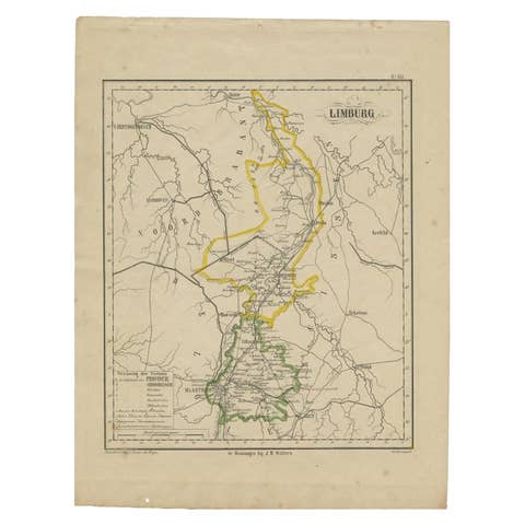
Antique Map of Limburg, The Southern Most Province in The Netherlands, c.1870
1870 · € 130
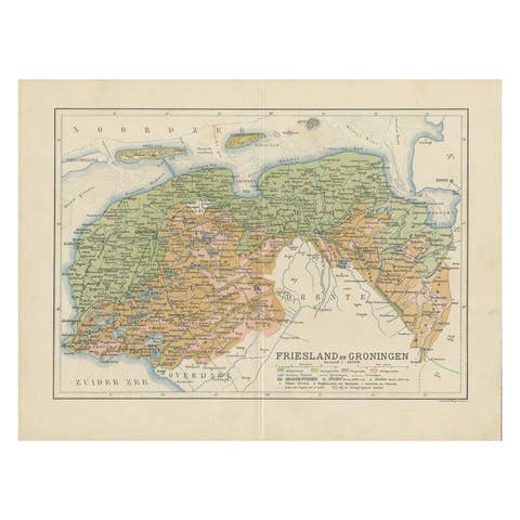
Antique Map of the Dutch Most Northern Provinces Friesland and Groningen, 1883
1883 · € 280
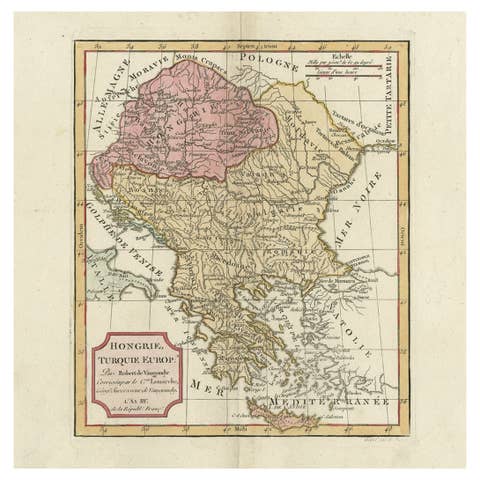
Old Engraved Map of Hungary, European Balkan Countries, Greece and Crete, 1806
1806 · € 450
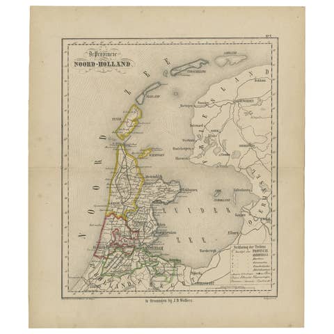
Antique Map of The Province Noord-Holland in The Netherlands, 1864
1864 · € 120
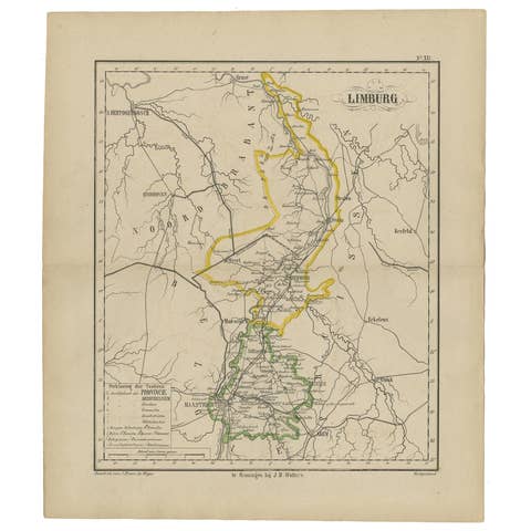
Antique Map of the Province Limburg, The Netherlands, 1864
1864 · € 130
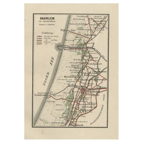
Antique Map of Dutch Cities Haarlem, Zandvoort, Bloemendaal, Wijk aan Zee, 1884
1884 · € 240
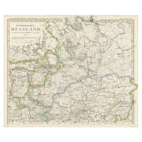
Antique Map of Russia in Europe on Two Sheets from an Old German Atlas, Ca.1825
1825 · € 450
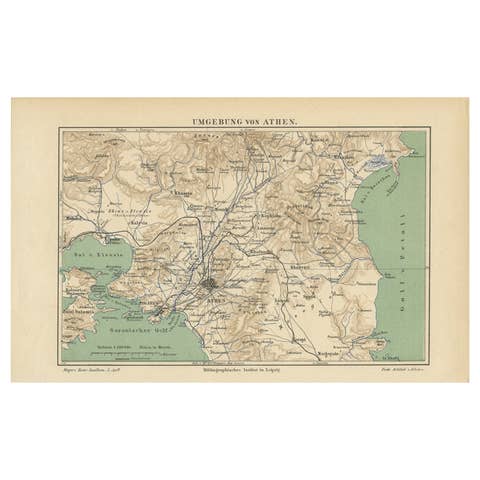
Antique Map of the Region of Athens from a German Atlas of 1893
1893 · € 85
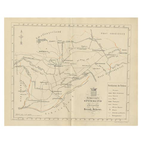
Antique Dutch Map of The Opsterland Township in Friesland, 1861
1861 · € 120
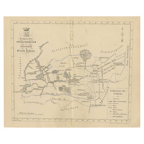
Antique Map of The Dutch Smallingerland Township, 1861
1861 · € 92

Antique Map of Italy from an Old French Atlas, 1842
1842 · € 330
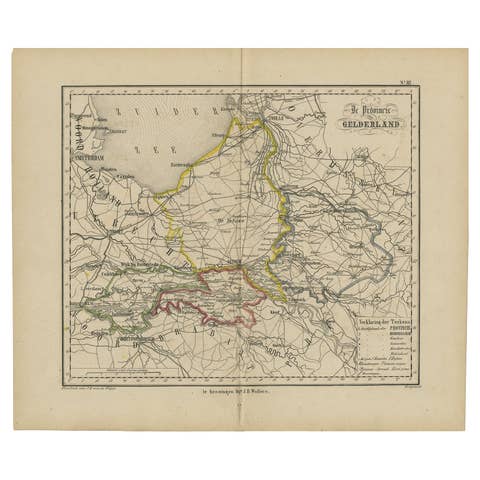
Antique Map of Gelderland with the Veluwe Etc, the Netherlands, 1864
1864 · € 240
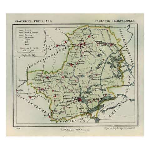
Antique Map of Idaarderadeel, Township In Frieslands, The Netherlands, 1868
1868 · € 140
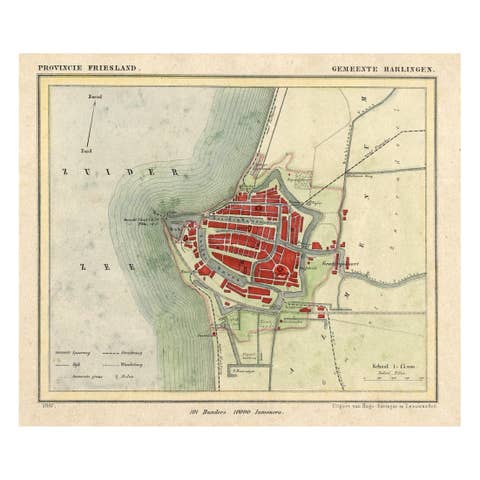
Antique Map of Harlingen, a Harbour City in Friesland, The Netherlands, 1868
1868 · € 140
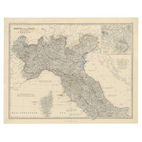
Antique Map of North and Central Italy and the Island of Corsica, c.1860
1860 · € 310
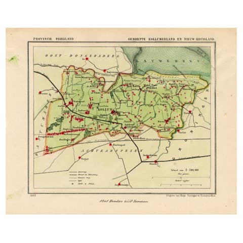
Antique Map of Kollumerland, a Township in Friesland, The Netherlands, 1868
1868 · € 130
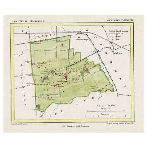
Dutch Municipality of Oldekerk in Groningen, The Netherlands, 1865
1865 · € 120