Maps & PrintsBartele Gallery · Langweer
Home / Antique Maps / Asia / East Asia / Japan

Antique Maps of Japan

9 original sheets
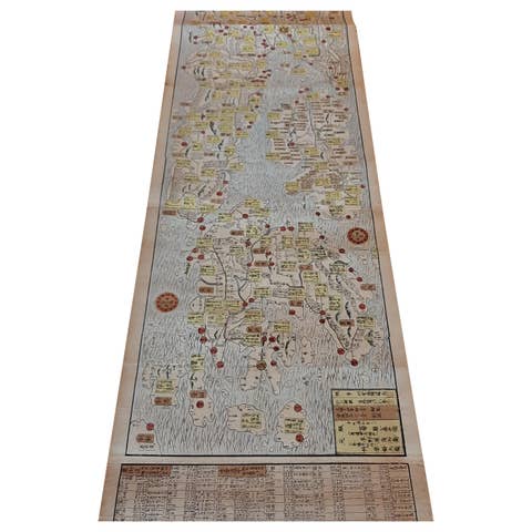
Antique Japanese Woodblock Print Map, Paper, Circa 1860, Large Size
1860 · € 2 500
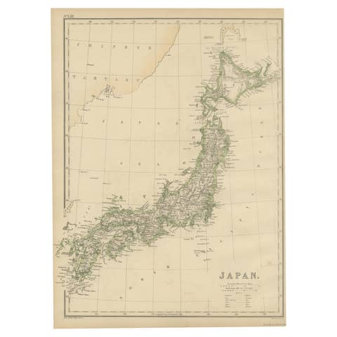
Antique Map of Japan by W. G. Blackie, 1859
1859 · € 200
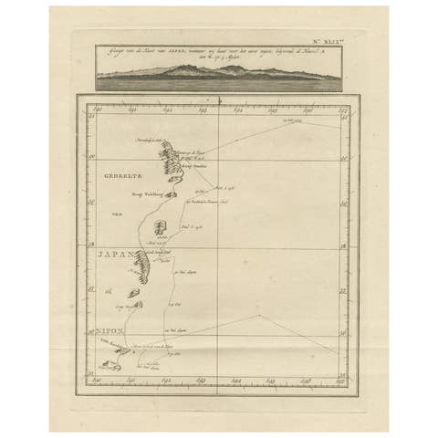
Map of the East Coast of Hanshu or Honshu & a View of the Japanese Coast, 1803
1803 · € 520
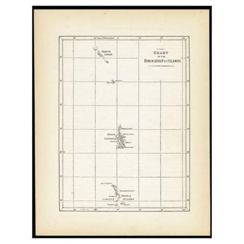
Antique Map of the Bonin Islands by Hawks, 1856
1856 · € 88
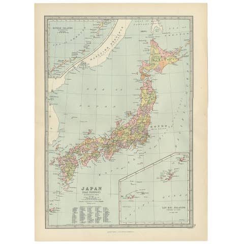
Antique Map of Japan, the Kurile Islands and Liu Kiu Islands, 1886
1886 · € 117
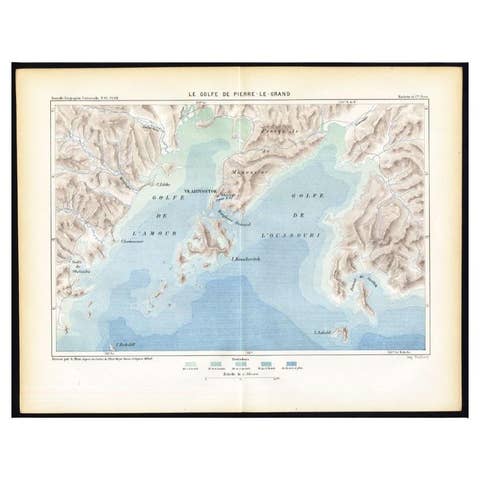
Antique Map of the Peter the Great Gulf by Reclus, 1881
1881 · € 89
Antique Map of Japan by Johnson & Ward, Decorative Civil War Era Atlas Map, 1865
1865 · € 440
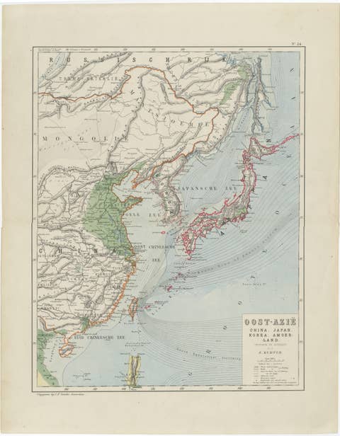
Antique Map of East Asia, Japan & Korea by J. Kuijper, circa 1860
1860 · € 310
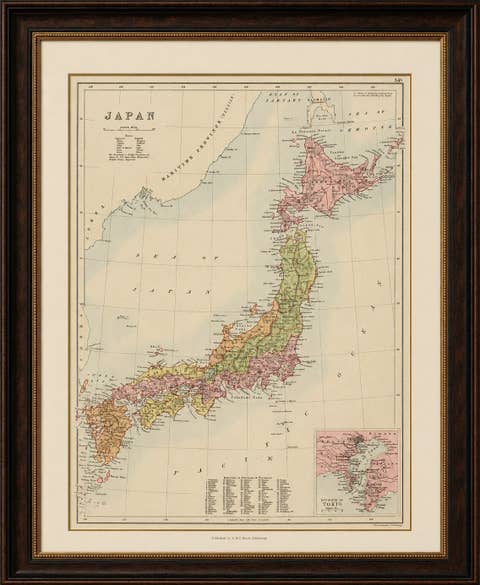
Antique Map of Japan with Tokyo Inset, Black’s General Atlas, 1885
1885 · € 450

Your favorites

Saved in this browser. Email the list to yourself to keep it on any device.

We use your email to send this list and, only if you tick the box and confirm, for occasional new arrivals. Every email has an unsubscribe link. Bartele Gallery, the Netherlands.