About this sheet
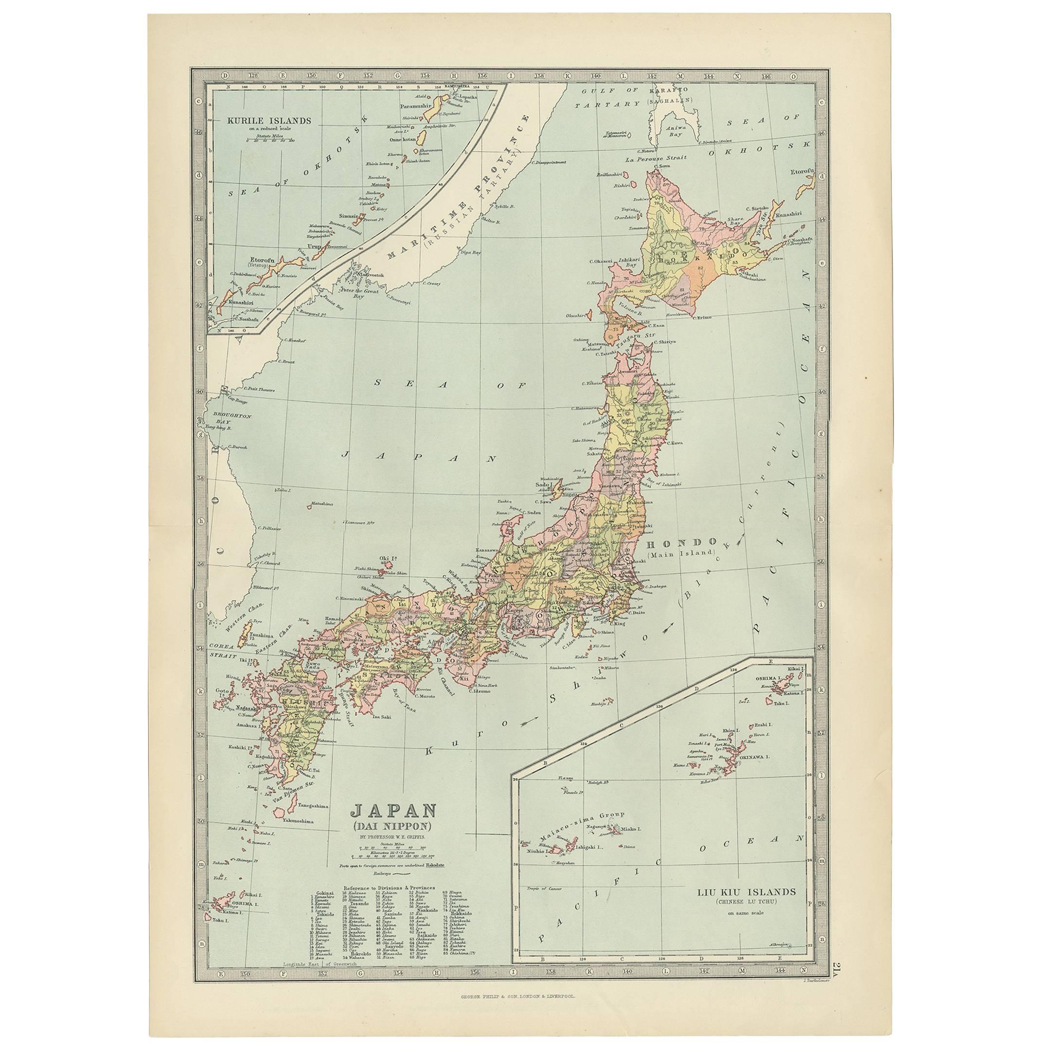
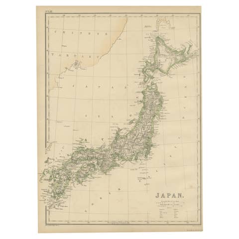
The map is an exquisite piece, showcasing Japan's vibrant geography. Engraved by J. Bartholomew and published by George Philip & Son in London & Liverpool, it presents a detailed and visually striking depiction of Japan. The inclusion of insets for the Kurile Islands and the Liu Kiu Islands offers a comprehensive view of Japan's broader territorial landscape.
This map is a testament to the artistry and precision of Bartholomew's engraving skills, capturing the intricate details of Japan's topography, cities, and waterways. The use of vibrant colors emphasizes geographical features, political boundaries, or cultural divisions within the country.
Given its publisher's reputation, the map adheres to high cartographic standards, providing not just geographical information but also historical and cultural insights into Japan's diverse regions. It's a fascinating collector's item, appealing not just to cartography enthusiasts but also to historians, travelers, and those fascinated by Japan's rich cultural heritage.