Antique Maps
2,327 original sheets
Europe 3023Asia 1110Africa 236America 548Australia & Oceania 159World Maps 111Sea Charts 209Celestial Maps 22
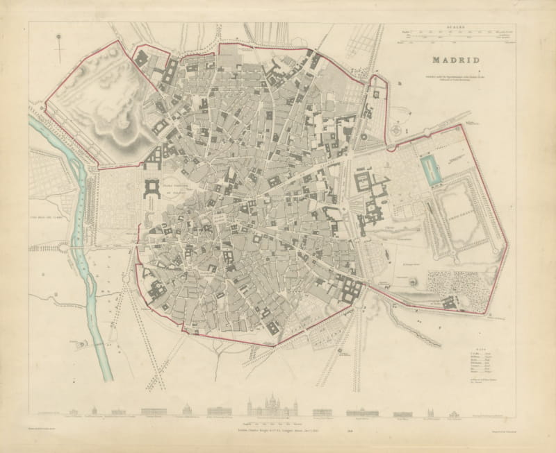
Antique Plan of Madrid with the Prado and Royal Palace, 1831
1831 · € 890
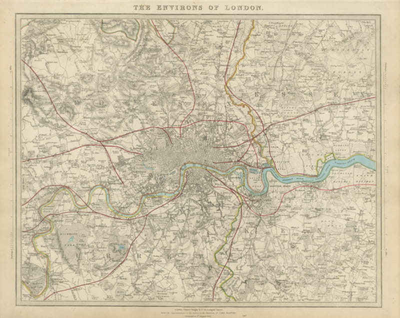
Antique Map of the Environs of London, Corrected to 1845
1845 · € 840
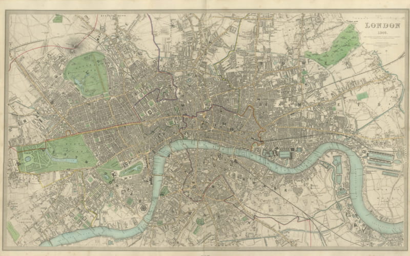
Large Antique Plan of London with the Thames and the Parks, 1846
1846 · € 1 350
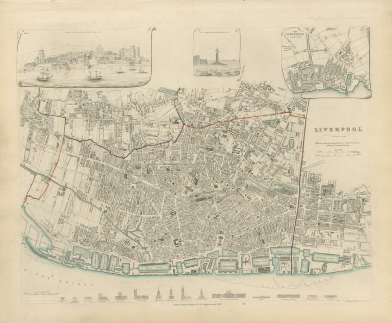
Antique Plan of Liverpool with Albert Dock and a 1650 View, 1847
1847 · € 760
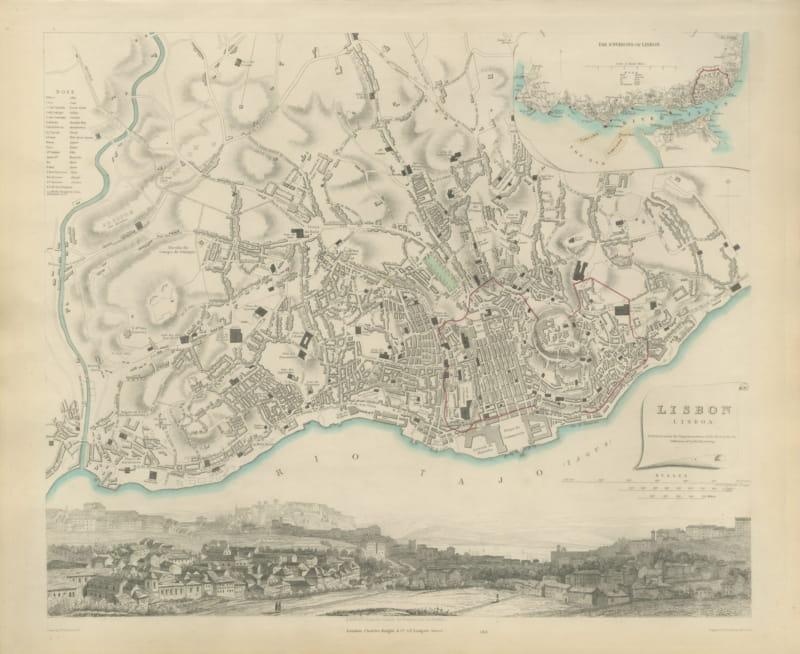
Antique Plan of Lisbon with Environs Inset and Panorama, 1847
1847 · € 940
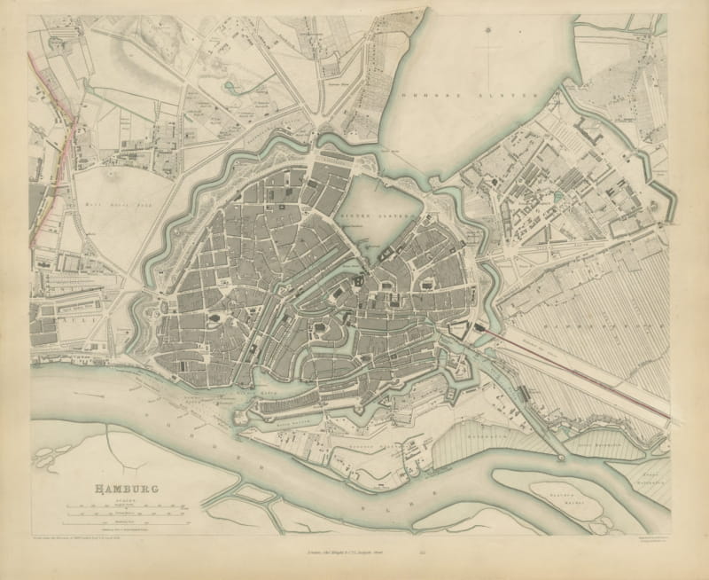
Antique Plan of Hamburg Before the Great Fire, SDUK, 1841
1841 · € 740
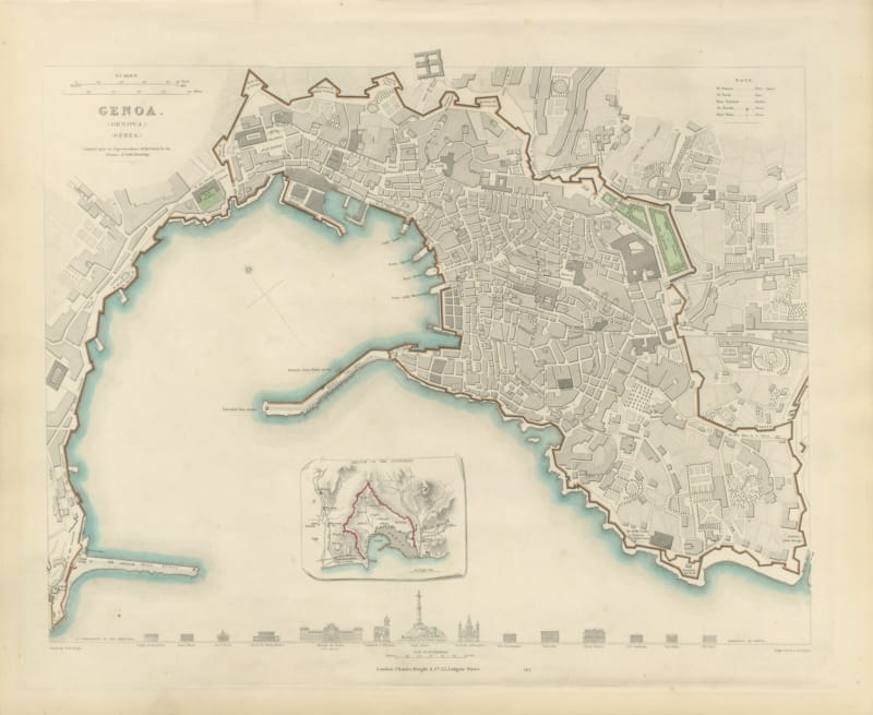
Antique Plan of Genoa with Outworks Inset and Palace Profiles, 1847
1847 · € 680
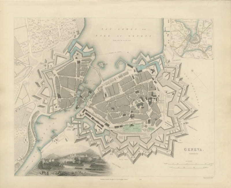
Antique Plan of Geneva with Environs Inset and Lakeside View, 1847
1847 · € 760
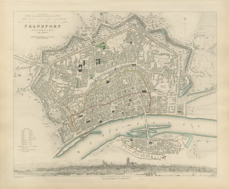
Antique Plan of Frankfurt with Panorama from Sachsenhausen, 1847
1847 · € 670
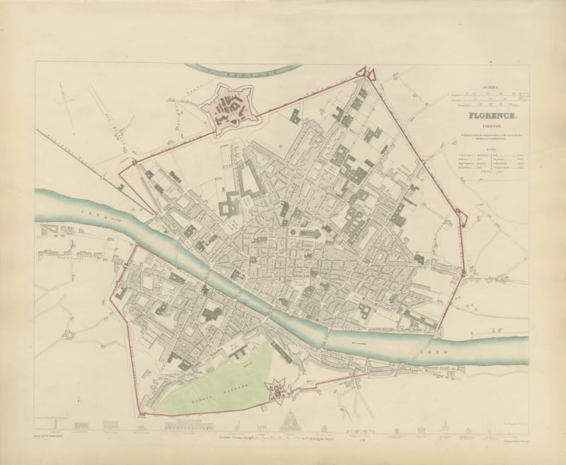
Antique Plan of Florence with Boboli Gardens and the Duomo, 1847
1847 · € 700
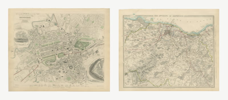
Antique Plan of Edinburgh and its Environs with the Castle, 1847
1847 · € 1 100
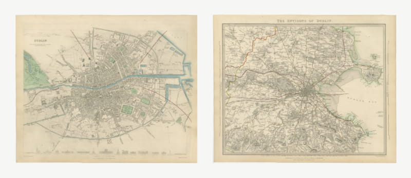
Antique Plan of Dublin and its Environs, Howth to Dalkey, 1847
1847 · € 1 160
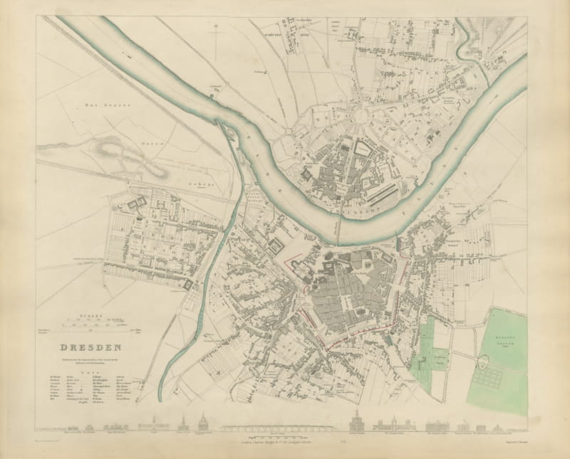
Antique Plan of Dresden with the Zwinger and Elbe Bridge, 1847
1847 · € 680
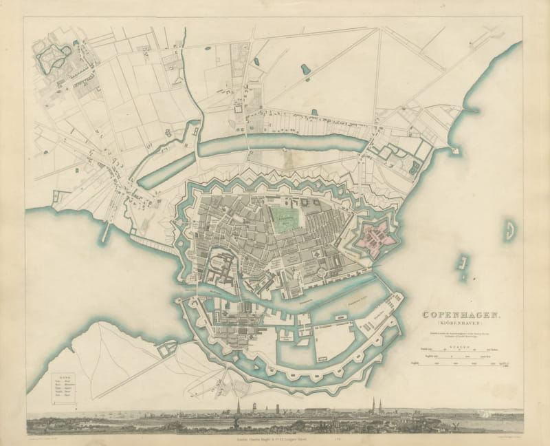
Antique Plan of Copenhagen with Panoramic City View, 1847
1847 · € 700
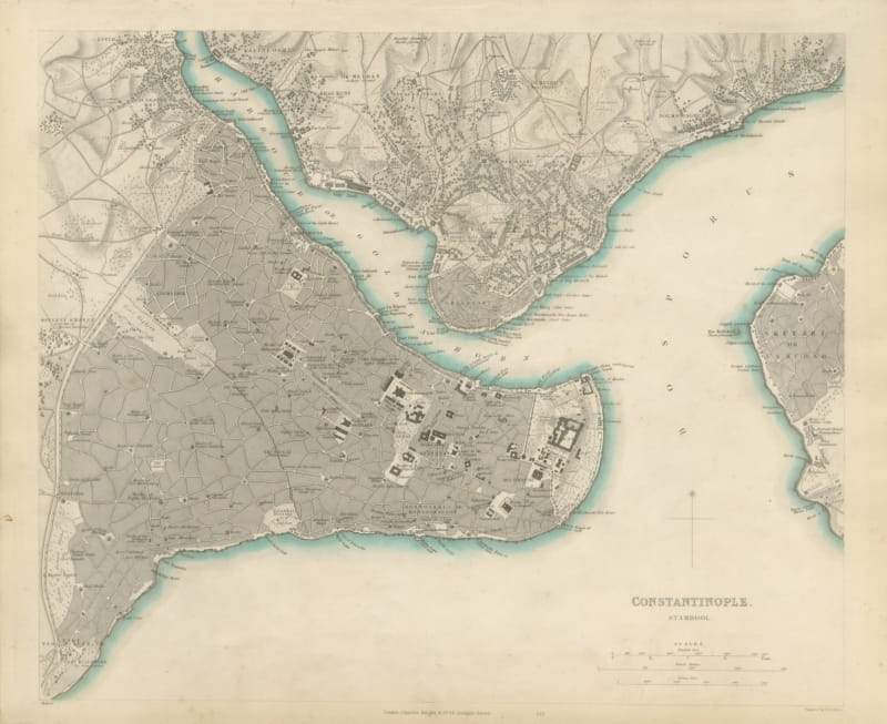
Antique Plan of Constantinople, Stamboul, Galata and Scutari, 1847
1847 · € 1 200
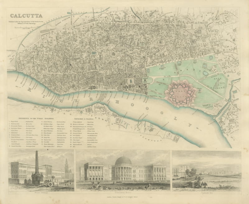
Antique Plan of Calcutta with Fort William and Three Views, 1847
1847 · € 840
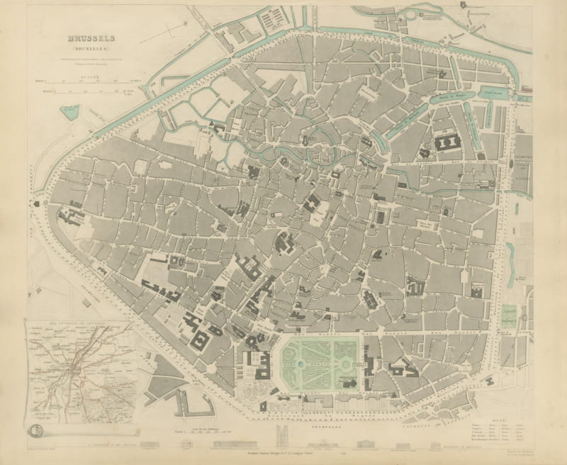
Antique Plan of Brussels with Environs Inset and Landmarks, 1847
1847 · € 680
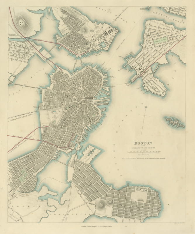
Antique Plan of Boston with Charlestown and Roxbury, 1847
1847 · € 1 100
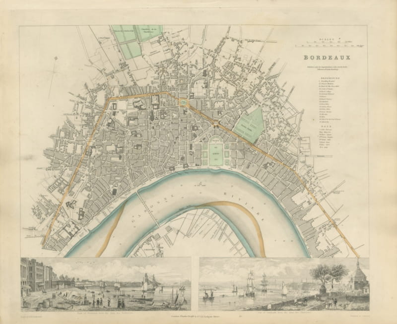
Antique Plan of Bordeaux with Two Views of the Garonne, 1847
1847 · € 670
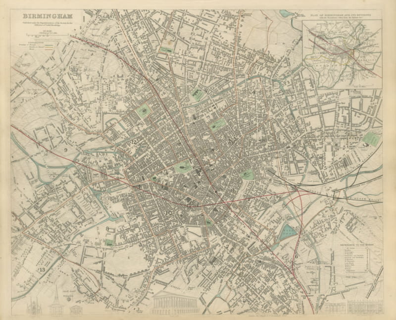
Antique Plan of Birmingham with Reform Act Ward Boundaries, 1847
1847 · € 640
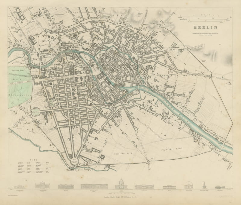
Antique City Plan of Berlin with Unter den Linden, 1847
1847 · € 700
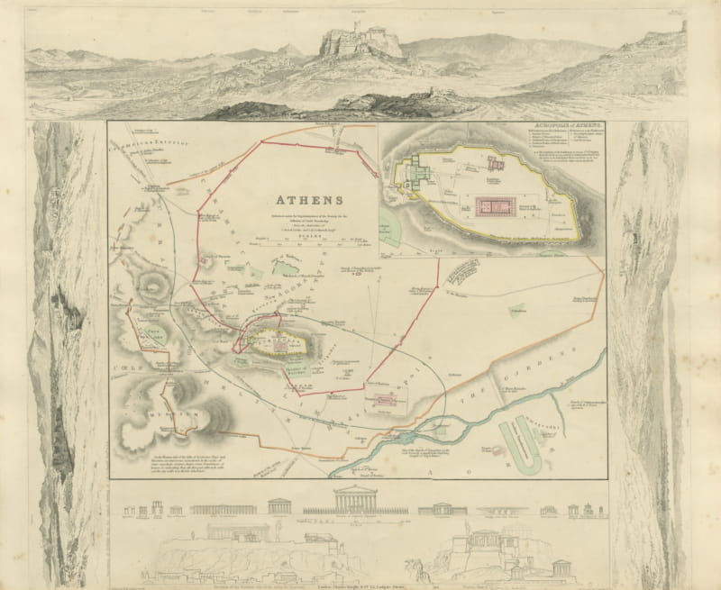
Antique Plan of Athens with Acropolis Inset and Panorama, 1847
1847 · € 700
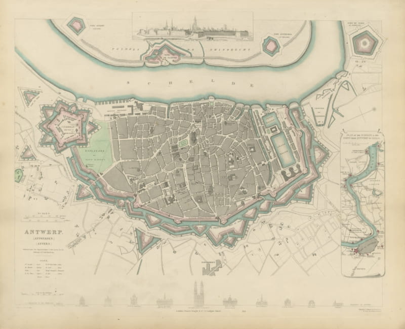
Decorative Plan of Antwerp with Citadel and Scheldt Forts, 1847
1847 · € 680
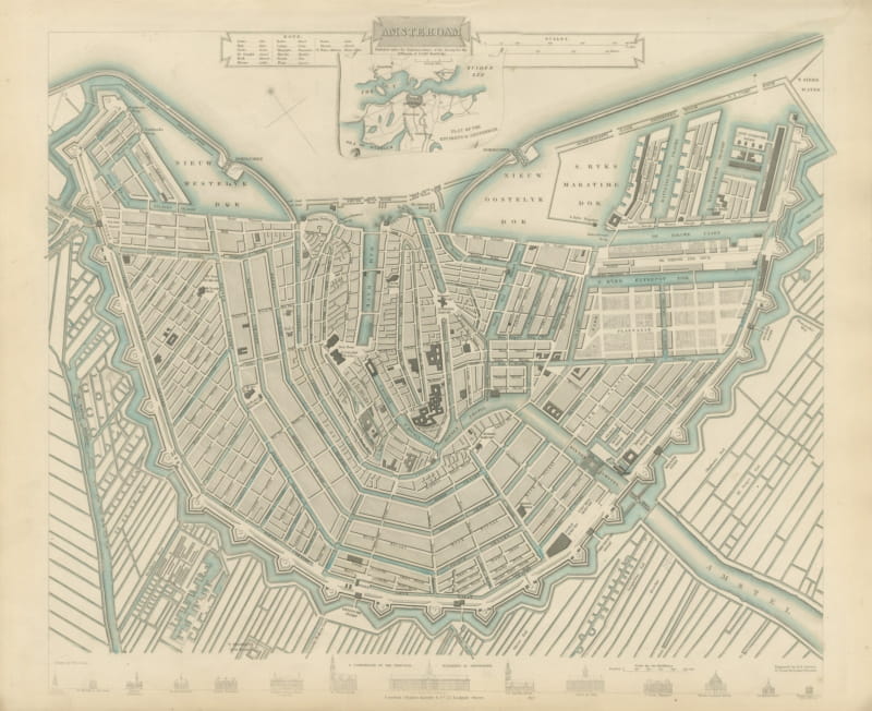
Antique Plan of Amsterdam with Environs Inset, Canal Ring, 1847
1847 · € 780
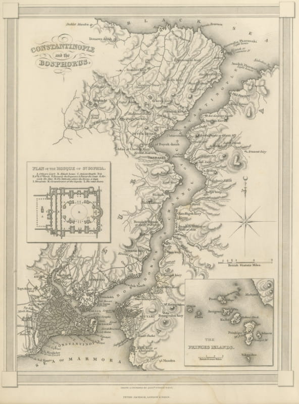
Antique Map of Constantinople with Princes Islands Inset, Findlay, circa 1850
circa 1850 · € 285
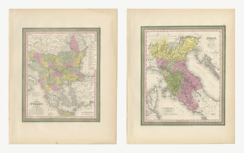
Turkey in Europe and Northern Italy, Mitchell Maps, Hand Colored Pair, 1850
1850 · € 540
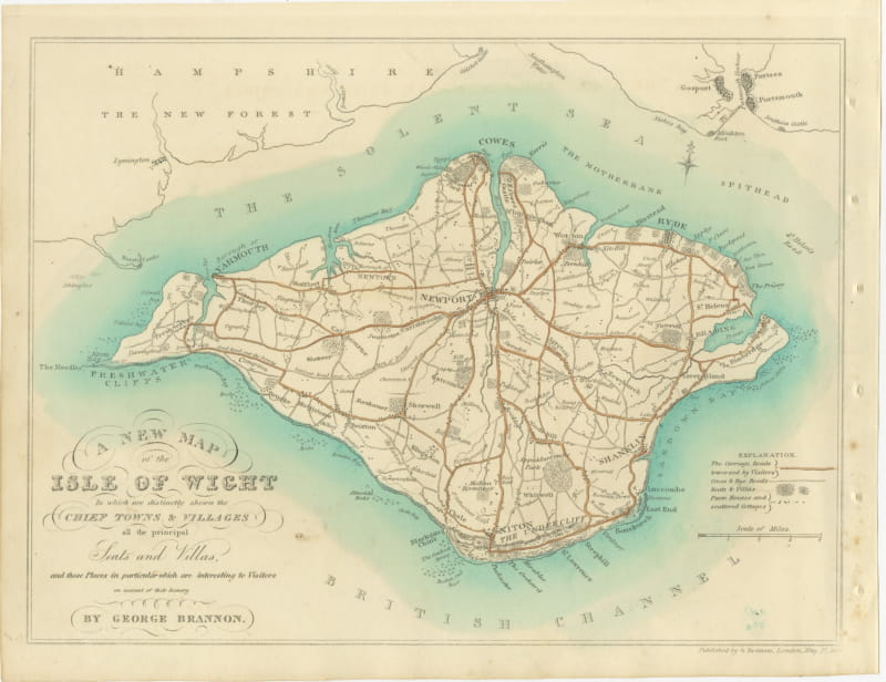
Brannon Hand-Colored Map of the Isle of Wight, Seats and Villas, circa 1829
circa 1829 · € 370
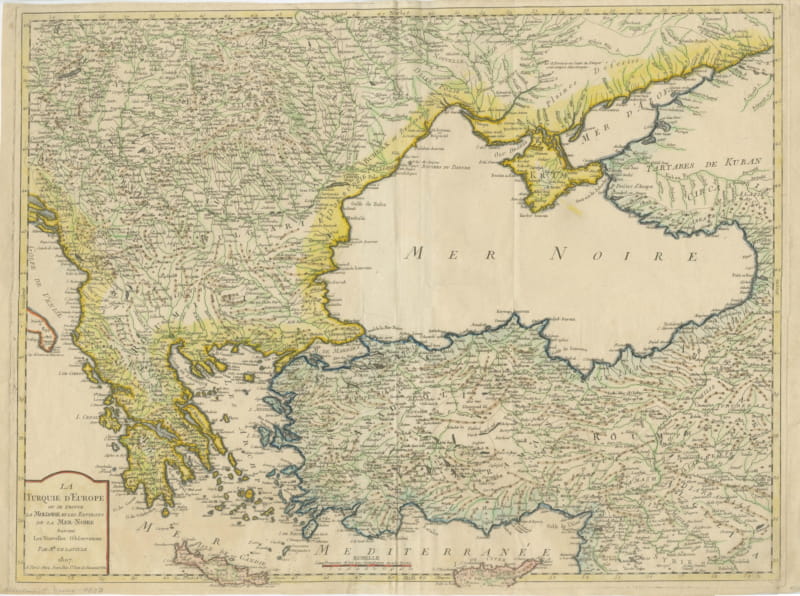
European Turkey, Moldavia and the Black Sea, Antique Map, Paris, 1807
1807 · € 980
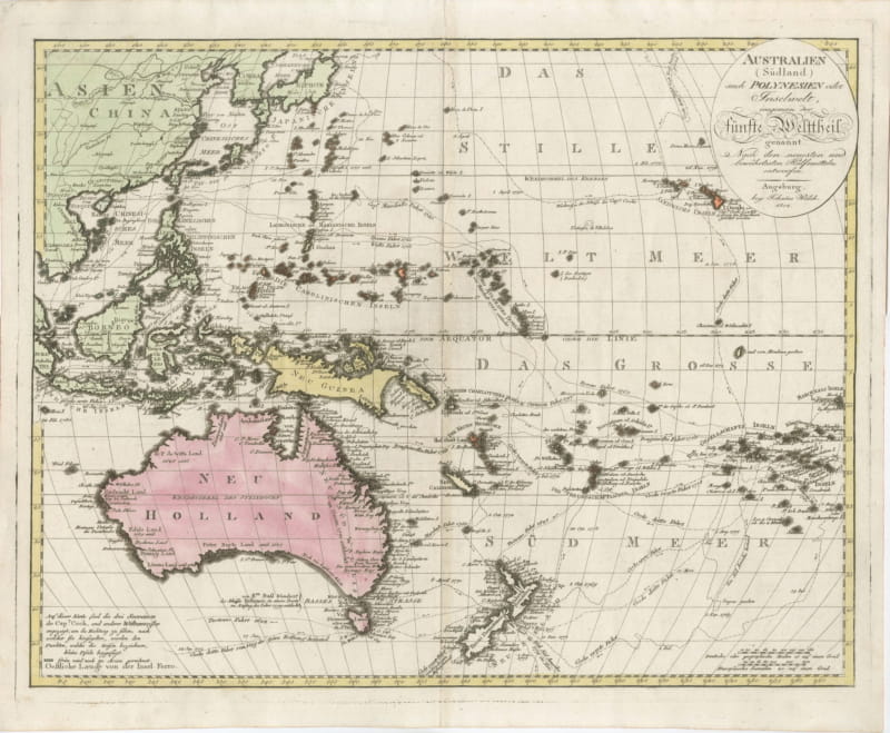
Antique Map of Australia and Polynesia with Cook's Voyages, Walch, 1802
1802 · € 1 200
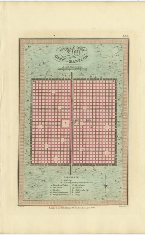
Antique Plan of the City of Babylon, Hand-Colored, Wyld, 1823
1823 · € 275
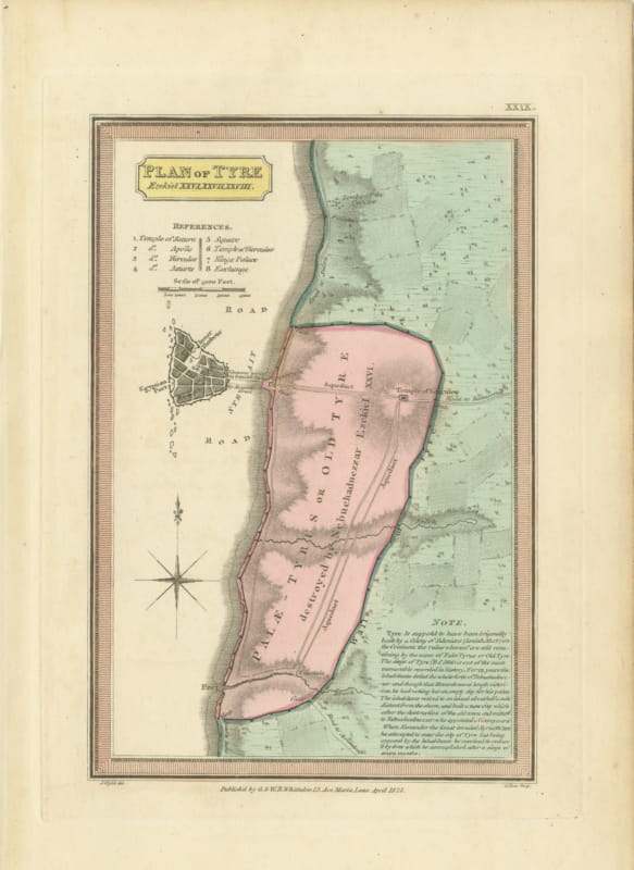
Plan of Ancient Tyre from the Book of Ezekiel, Antique Map, 1823
1823 · € 290
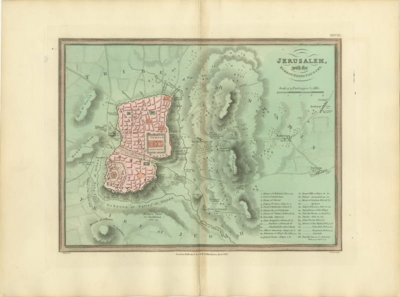
Antique Map of Jerusalem and the Surrounding Country, Wyld, 1823
1823 · € 325
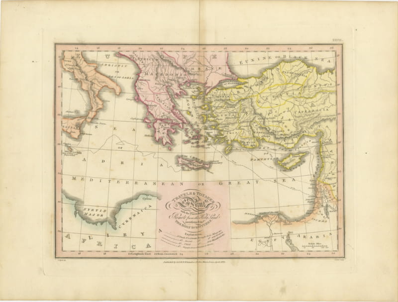
The Travels and Voyages of Saint Paul, Antique Wyld Map, 1823
1823 · € 285
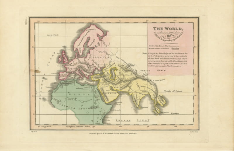
The World at the Time of Christ, Antique Hand-Colored Map, 1823
1823 · € 290
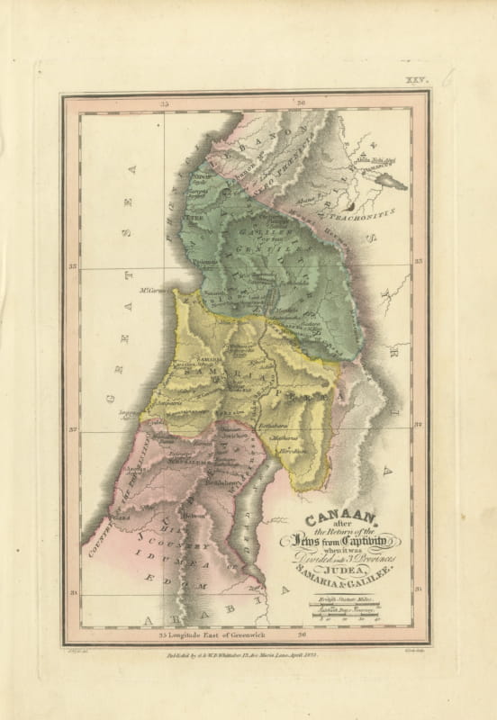
Judea, Samaria and Galilee After the Captivity, Antique Map, 1823
1823 · € 320
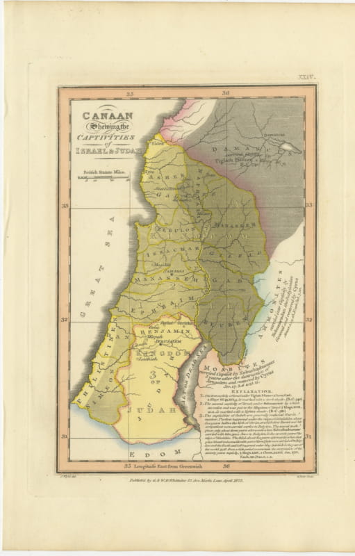
Canaan and the Captivities of Israel and Judah, Antique Map, 1823
1823 · € 355
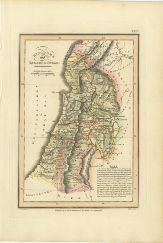
Antique Map of the Kingdoms of Israel and Judah, Hand-Colored, 1823
1823 · € 320
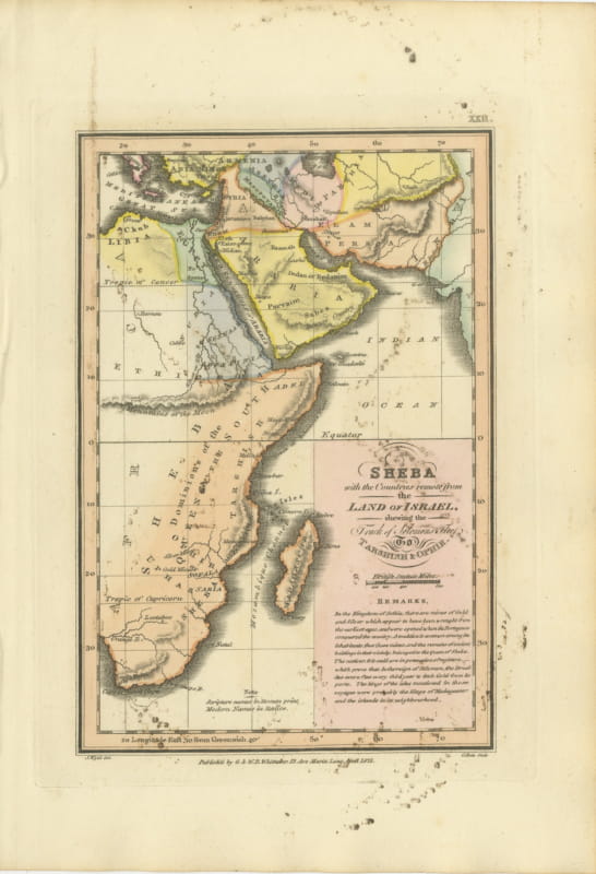
Sheba and the Voyage to Tarshish and Ophir, Antique Map, 1823
1823 · € 170
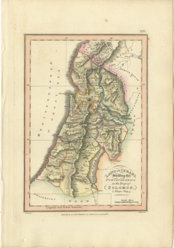
Antique Map of Solomon's Purveyorships in Israel, Wyld, 1823
1823 · € 340
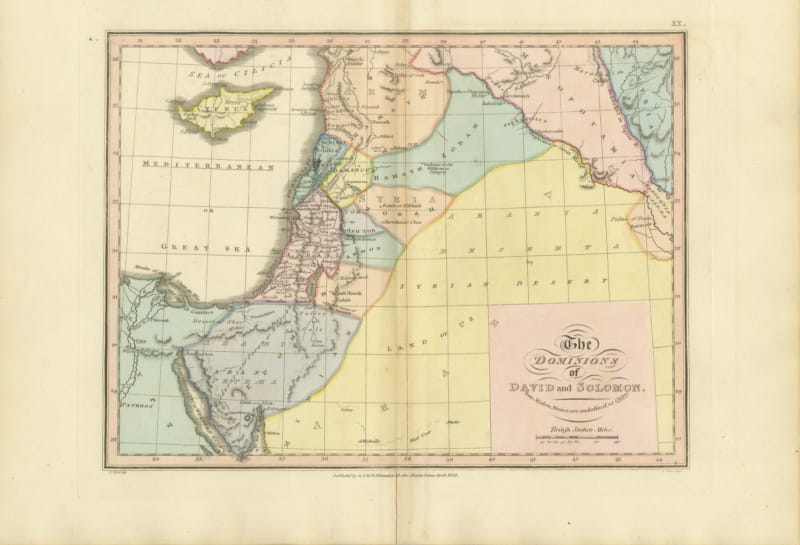
The Dominions of David and Solomon, Antique Hand-Colored Map, 1823
1823 · € 355
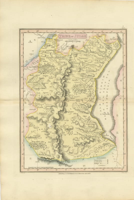
Antique Hand-Colored Map of the Tribe of Judah and the Dead Sea, 1823
1823 · € 260
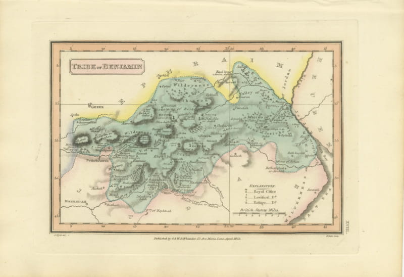
Tribe of Benjamin with Jericho and Bethel, Antique Wyld Map, 1823
1823 · € 250
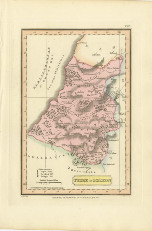
Antique Map of the Tribe of Simeon and the South Country, Wyld, 1823
1823 · € 230
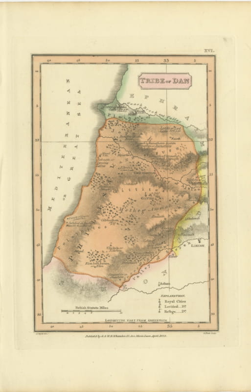
Hand-Colored Antique Map of the Tribe of Dan, James Wyld, 1823
1823 · € 245
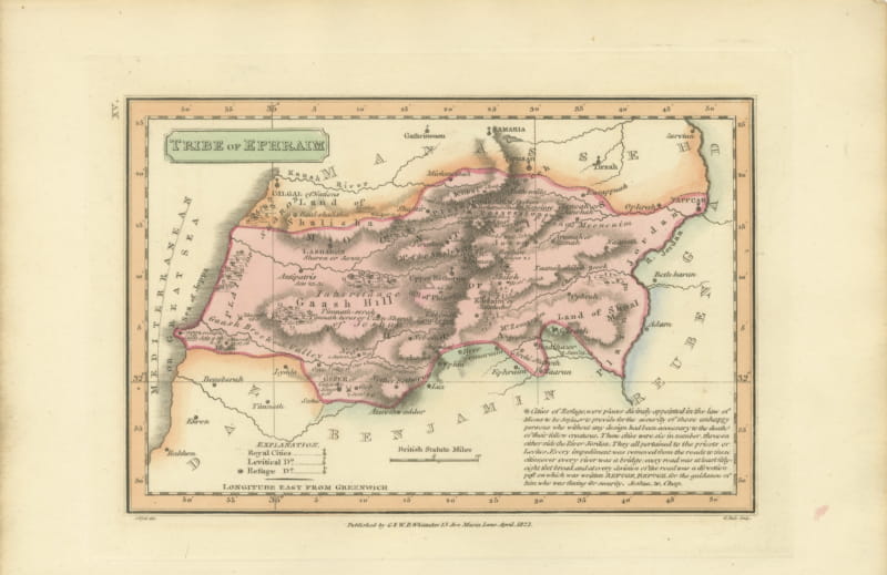
Antique Scripture Map of the Tribe of Ephraim, Hand-Colored, 1823
1823 · € 245
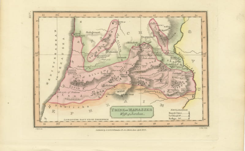
Tribe of Manasseh West of Jordan, Antique Wyld Map, 1823
1823 · € 245
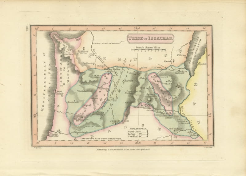
Antique Hand-Colored Map of the Tribe of Issachar, Wyld, 1823
1823 · € 245
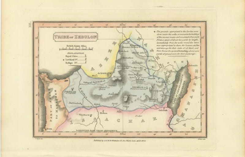
Decorative Antique Map of the Tribe of Zebulun, Wyld, 1823
1823 · € 245