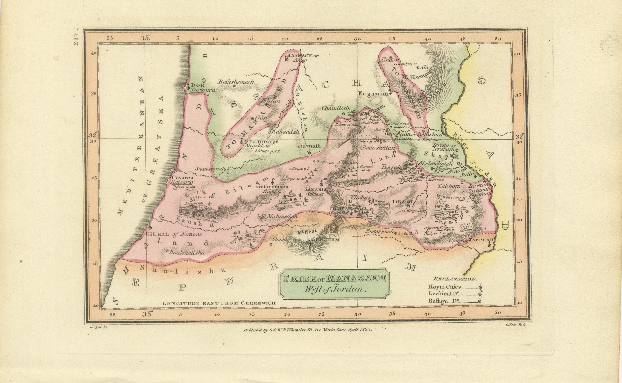
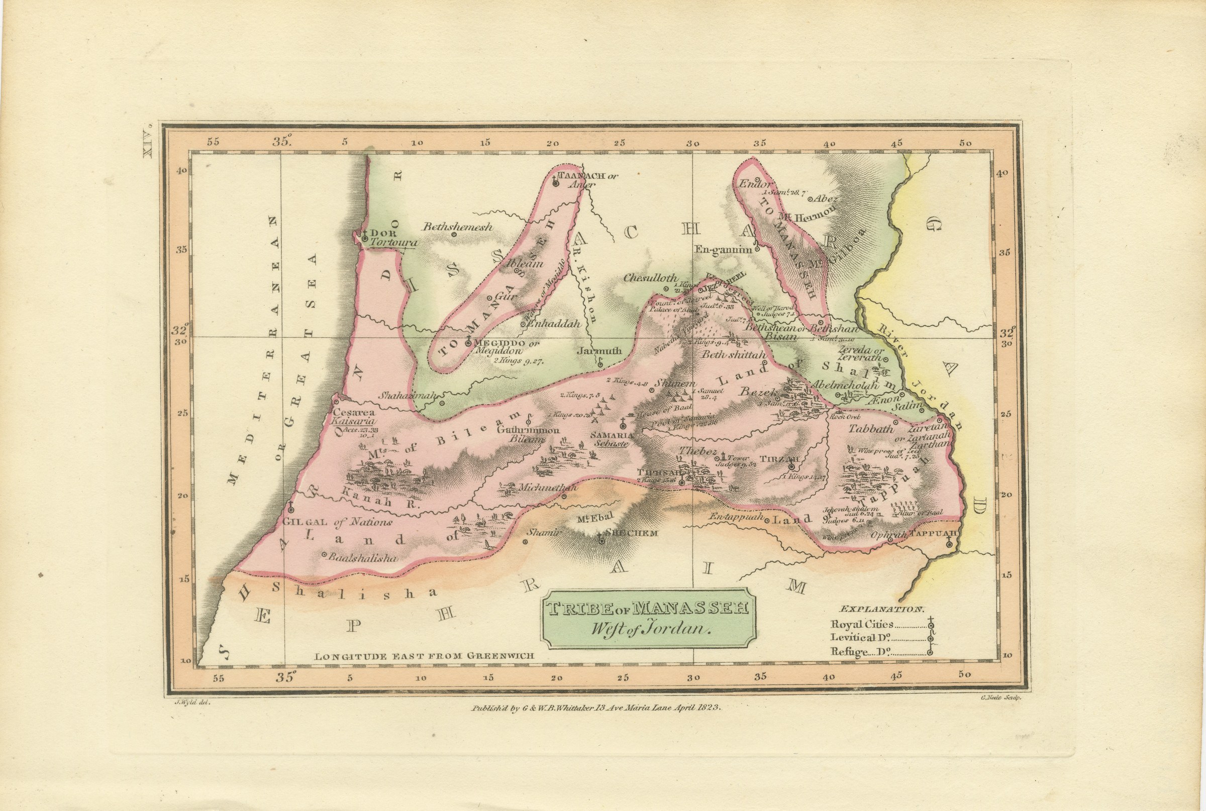
Tribe of Manasseh West of Jordan, Antique Wyld Map, 1823
€ 245
Original antique · The actual sheet photographed · Certificate of authenticity on request · Sold unframed · Worldwide shipping from € 15 (rates)
Date
1823
Mapmaker / artist
James Wyld; engraved by G. Neele
Publisher
G. and W. B. Whittaker, London
Technique
Copper engraving
Coloring
Original hand color
Condition
Good
Reference
BG-14409-14
What the condition grades mean
Excellent
Bright and clean, with no faults worth mentioning.
Very good
Only light signs of age, such as faint toning.
Good
Normal signs of age for a sheet of this period: toning, some foxing, small marks or neat old repairs.
Fair
Clear faults such as staining, tears or repairs, priced to match.
Every fault we see is written in the condition note, and the whole sheet is shown uncropped in the photos.
Condition
Even age toning. Marked handling soiling along the left, right and top edges. Scattered light foxing in the margin. All four corners are present.
About this sheet
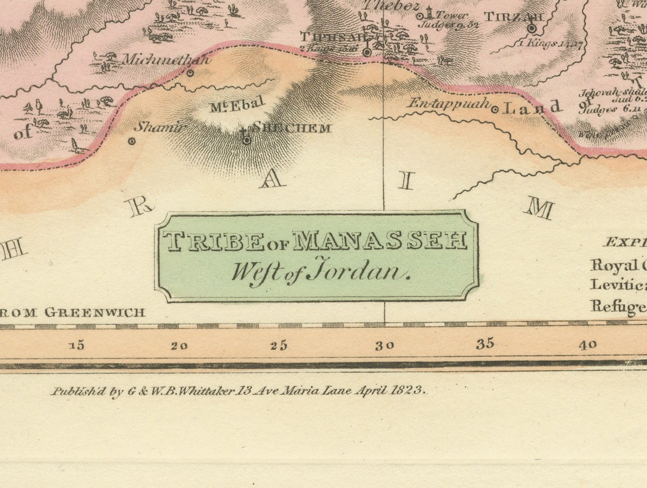
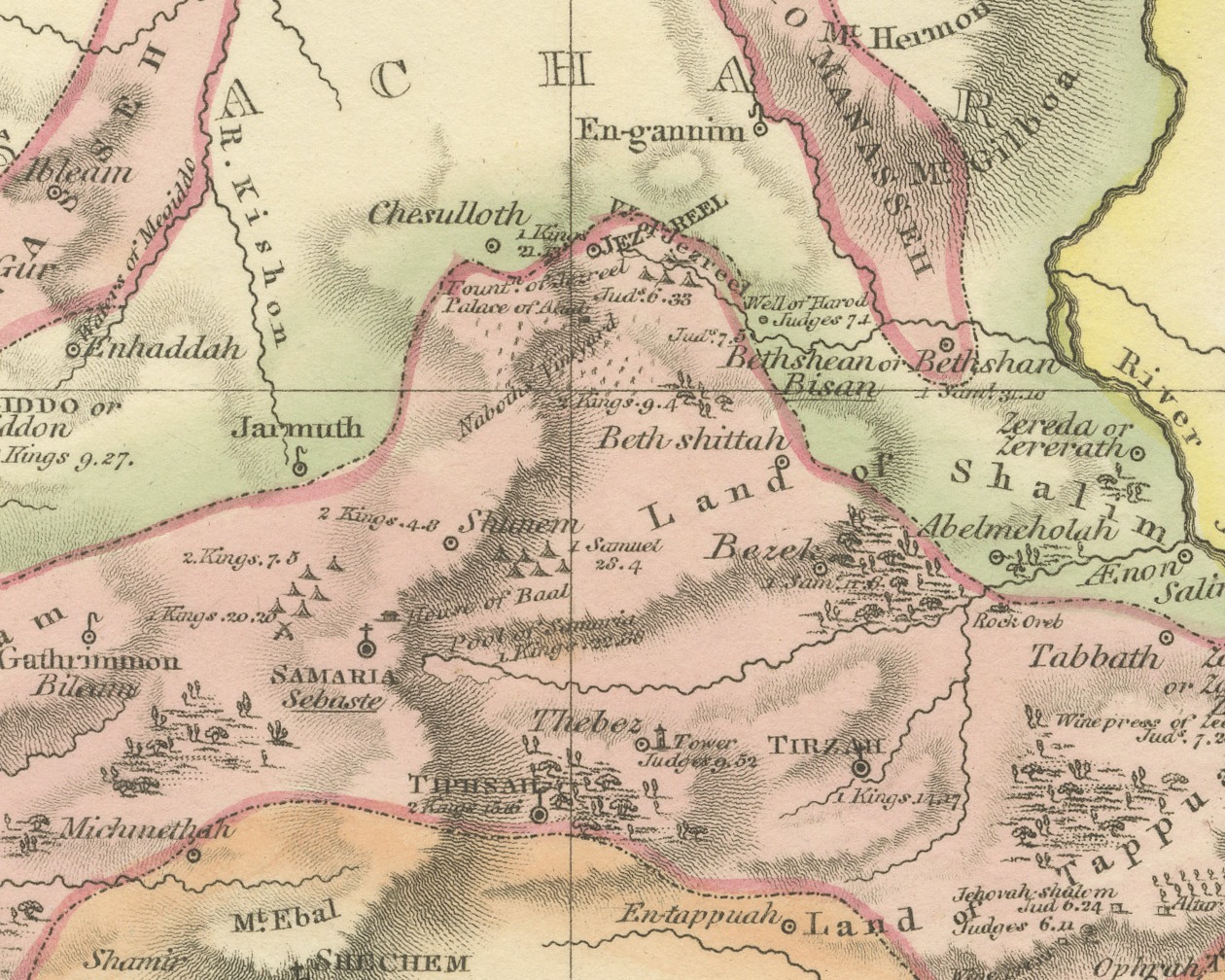
This is an original antique copper engraved map with original hand coloring, published in 1823 as plate XIV of James Wyld's Geographia Sacra, or Scripture Atlas. The title, engraved in a green panel at the lower center, reads "TRIBE of MANASSEH West of Jordan."
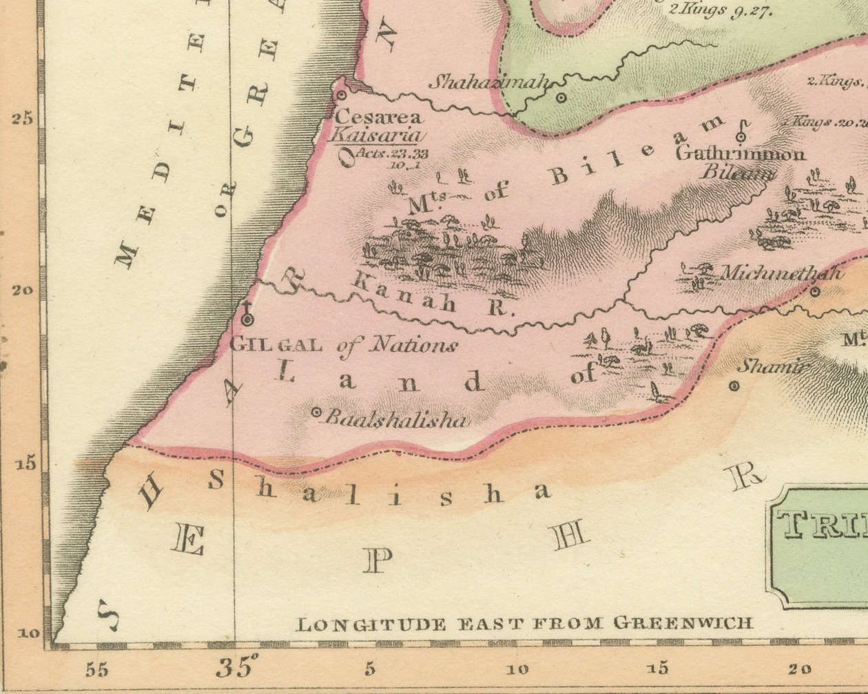
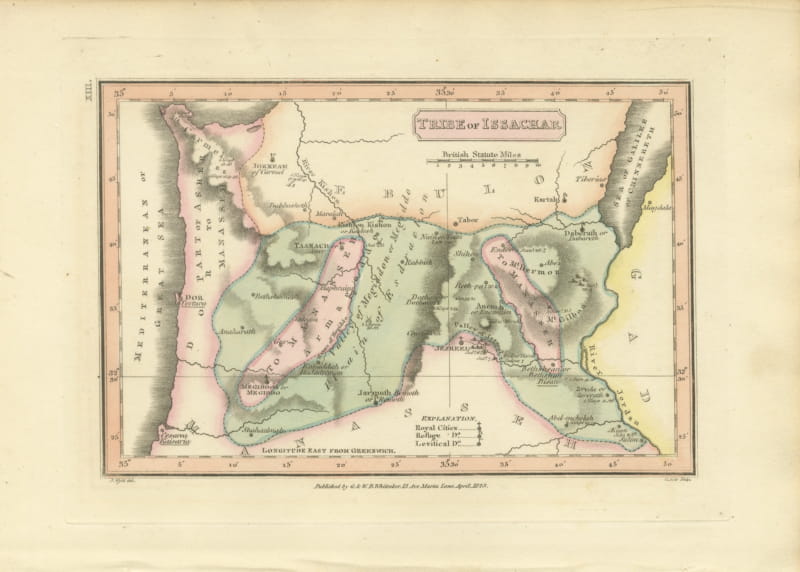
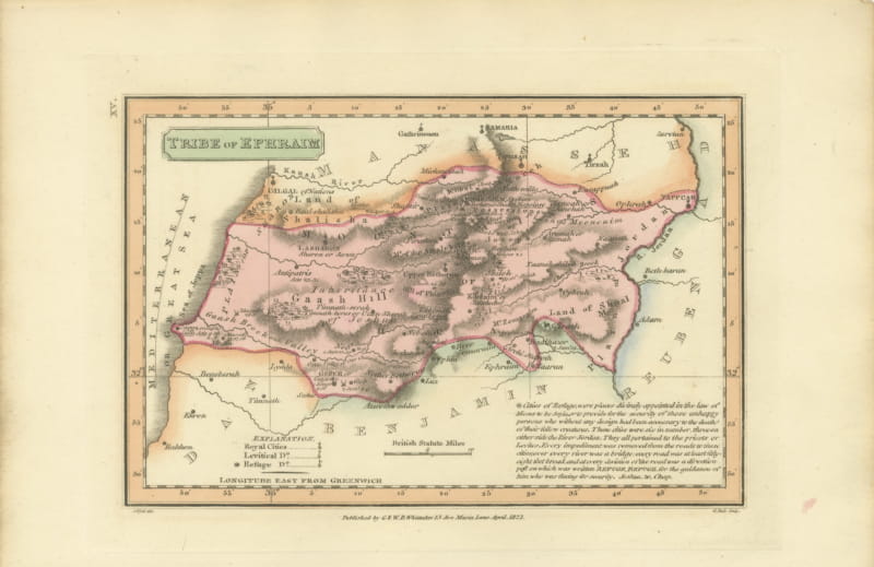
The map is laid out in landscape format. The western half of Manasseh is washed in pink from the Mediterranean, or Great Sea, with Dor and Caesarea on the coast, across the hill country to the River Jordan on the right. Samaria or Sebaste, Tirzah, Bezek and Abelmeholah are among the towns, and Mount Ebal and Shechem stand on the southern edge against Ephraim, which is washed in orange along the foot of the sheet. Issachar is washed in green to the north, and the two areas of Manasseh within it, around Megiddo and Taanach and around Endor and Mount Gilboa, are outlined in pink. An explanation at the lower right keys royal cities, Levitical cities and cities of refuge, and longitude east from Greenwich is engraved along the lower border.
Under the lower left corner of the border is the credit "J. Wyld del.", under the lower right corner "G. Neele Sculp.", and centered between them the imprint "Publish'd by G & W. B. Whittaker 13 Ave Maria Lane April 1823." The plate number "XIV." is engraved sideways in the left margin, beside the upper left corner of the border, so that it stands at the upper right when the sheet is turned to its upright position in the atlas.
The sheet belongs to Geographia Sacra, or Scripture Atlas, issued in London in 1823 by G. and W. B. Whittaker. On the engraved title page of the atlas Wyld is described as "of the Quarter Master General's Office, Horse Guards". James Wyld the elder (1790 to 1836) was a London geographer and map publisher.
Even age toning. Marked handling soiling along the left, right and top edges. Scattered light foxing in the margin. All four corners are present.
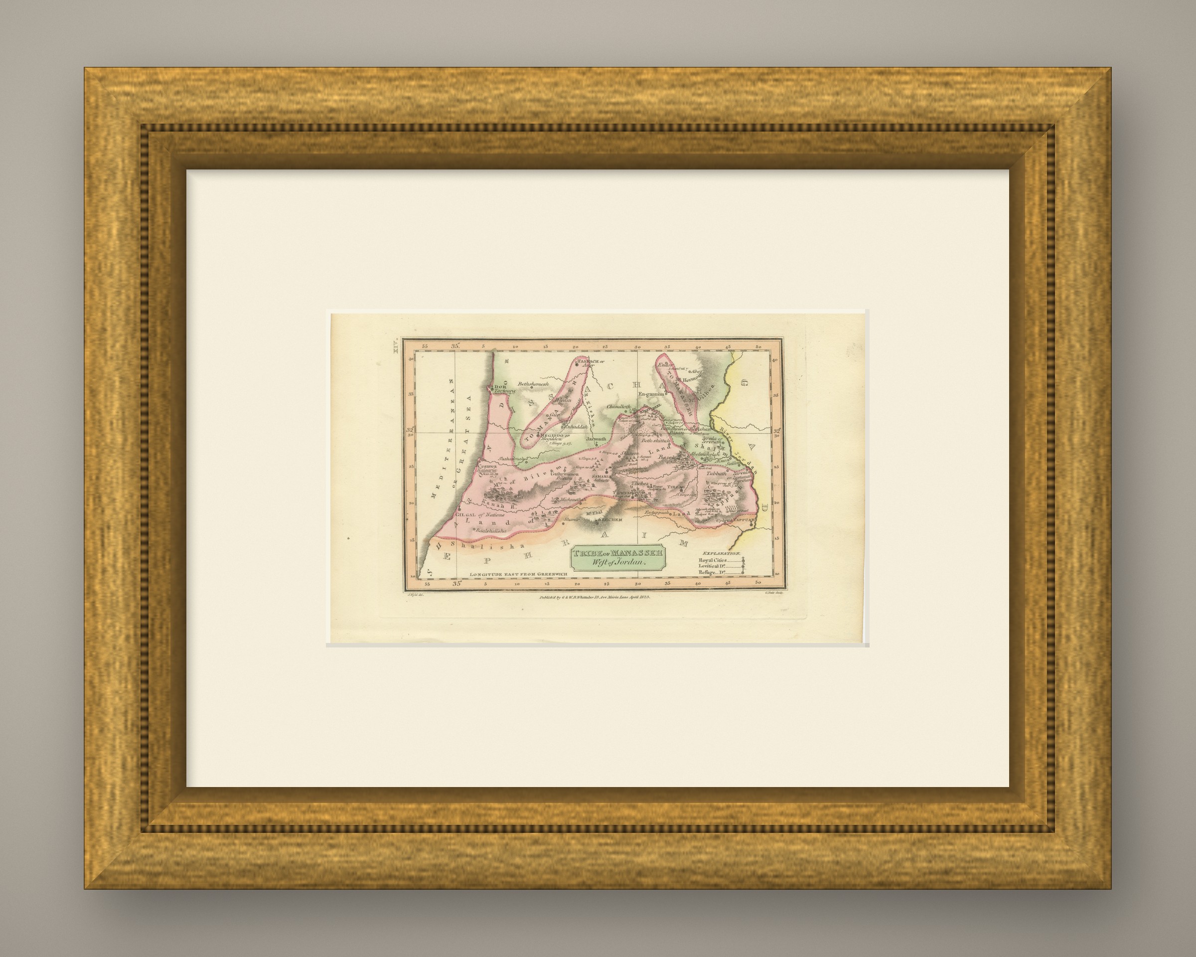
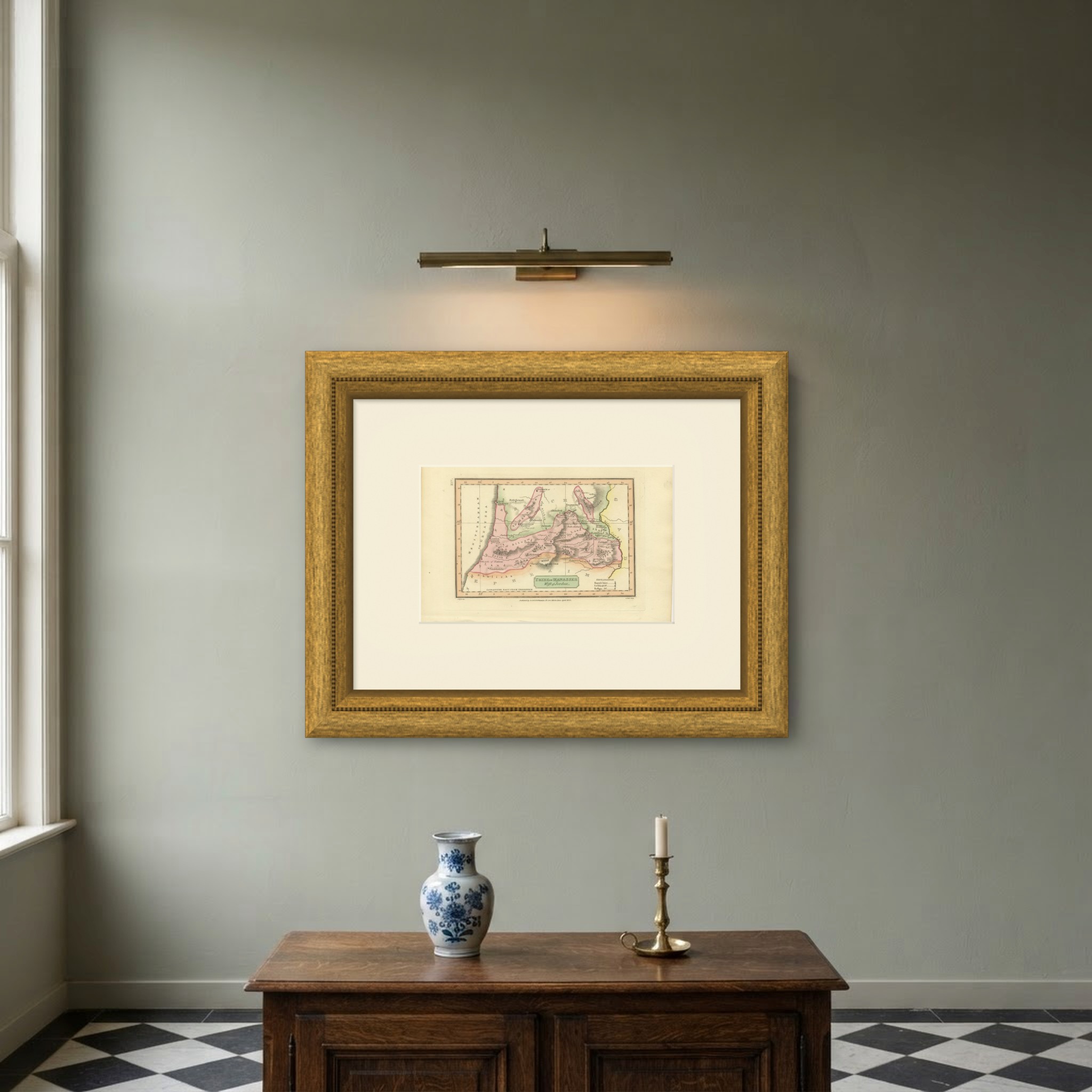
This is an original antique map, not a modern reproduction. This item is sold unframed. Any framed or interior images are shown for presentation and inspiration only, unless the listing explicitly states that the item is sold framed.