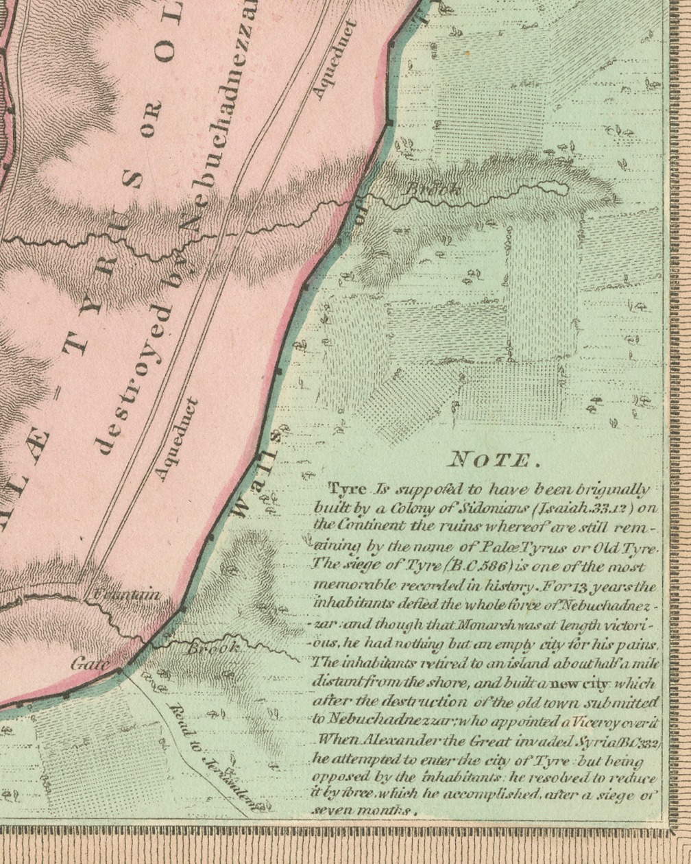
Plan of Ancient Tyre from the Book of Ezekiel, Antique Map, 1823
€ 290
Original antique · The actual sheet photographed · Certificate of authenticity on request · Sold unframed · Worldwide shipping from € 15 (rates)
Date
1823
Mapmaker / artist
James Wyld; engraved by G. Neele
Publisher
G. and W. B. Whittaker, London
Technique
Copper engraving
Coloring
Original hand color
Condition
Good
Reference
BG-14409-29
What the condition grades mean
Excellent
Bright and clean, with no faults worth mentioning.
Very good
Only light signs of age, such as faint toning.
Good
Normal signs of age for a sheet of this period: toning, some foxing, small marks or neat old repairs.
Fair
Clear faults such as staining, tears or repairs, priced to match.
Every fault we see is written in the condition note, and the whole sheet is shown uncropped in the photos.
Condition
Light uneven toning, browner toward the edges. Marked handling soiling along all four edges. Scattered light foxing in the margin. All four corners are present. Several larger brown marks.
About this sheet
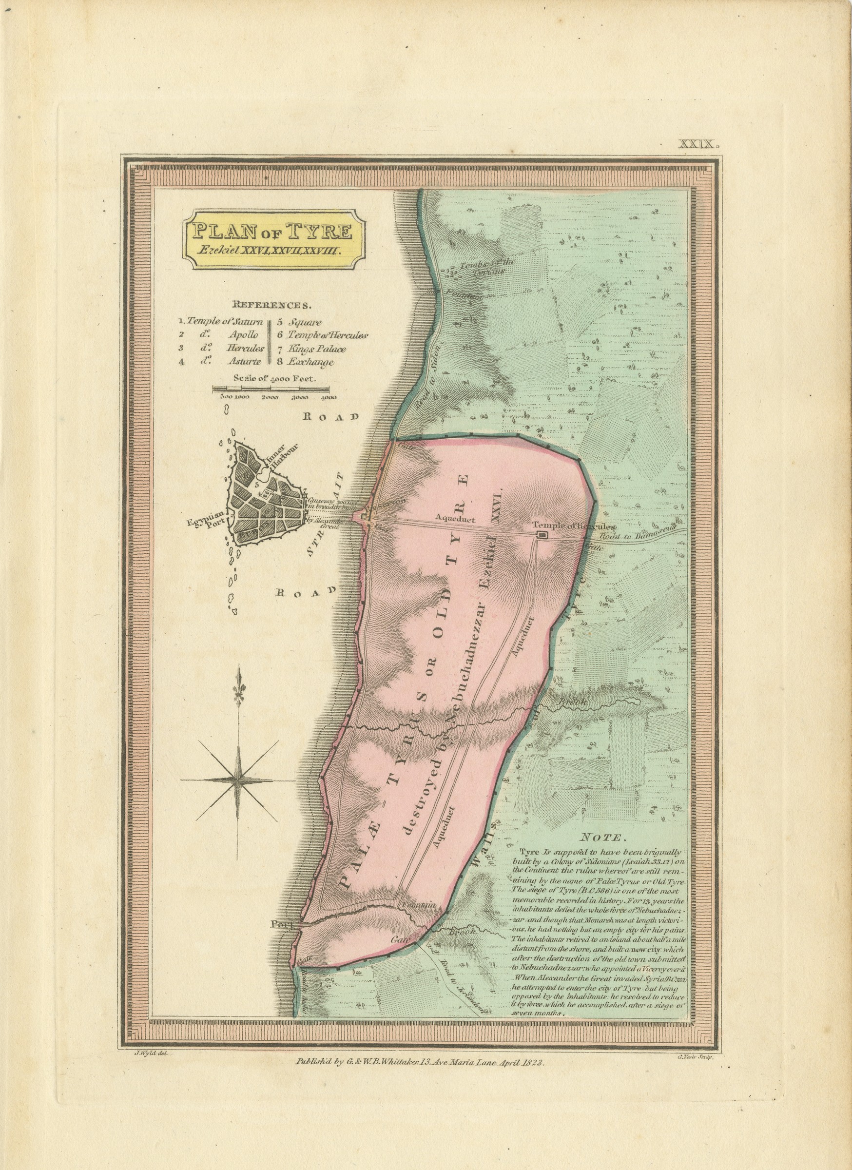
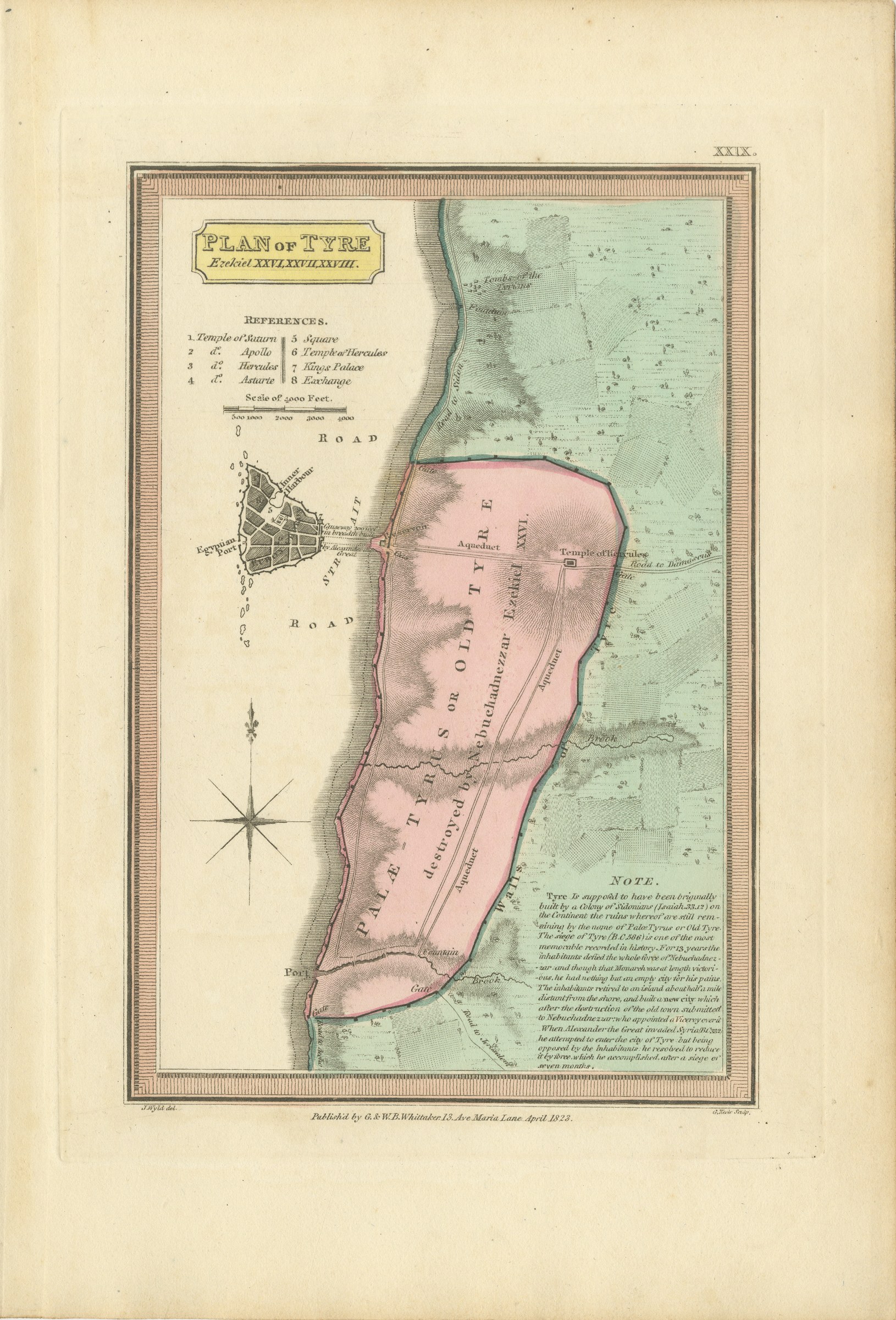
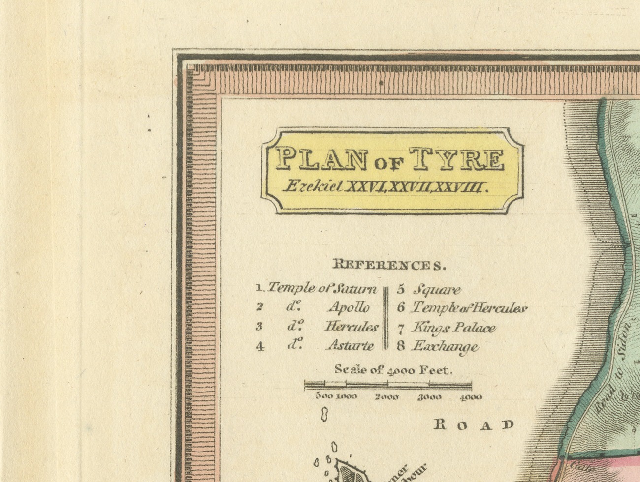
This is an original antique copper engraved map with original hand coloring, published in 1823 as plate XXIX of James Wyld's Geographia Sacra, or Scripture Atlas. The engraved title reads "PLAN OF TYRE Ezekiel XXVI, XXVII, XXVIII." The title is engraved in a yellow panel at the upper left of the plan.
The mainland city is drawn as a long walled enclosure washed in pink and lettered "PALÆ TYRUS OR OLD TYRE destroyed by Nebuchadnezzar Ezekiel XXVI", crossed by an aqueduct and with a Temple of Hercules on its eastern wall. The country beyond is washed in green, with roads to Sidon and to Damascus. Offshore at the left the island city is drawn as a small walled grid with an inner harbor and the "Egyptian Port", joined to the shore by a causeway attributed to Alexander. A list of eight references, from the Temple of Saturn to the Exchange, and a scale of 4000 feet sit under the title, a compass rose is engraved at the left, and a "NOTE" at the lower right gives an account of the sieges of Tyre.
Below the lower border the credit J. Wyld del. is engraved at the left and G. Neele Sculp. at the right, with the imprint between them: "Publish'd by G. & W. B. Whittaker. 13. Ave Maria Lane. April 1823." The plate number is engraved as XXIX. in the upper right.
The atlas was published by G. and W. B. Whittaker in London, and its engraved title page names Wyld as "of the Quarter Master General's Office, Horse Guards". James Wyld the elder (1790 to 1836) was a London geographer and map publisher.
Light uneven toning, browner toward the edges. Marked handling soiling along all four edges. Scattered light foxing in the margin. All four corners are present. Several larger brown marks.
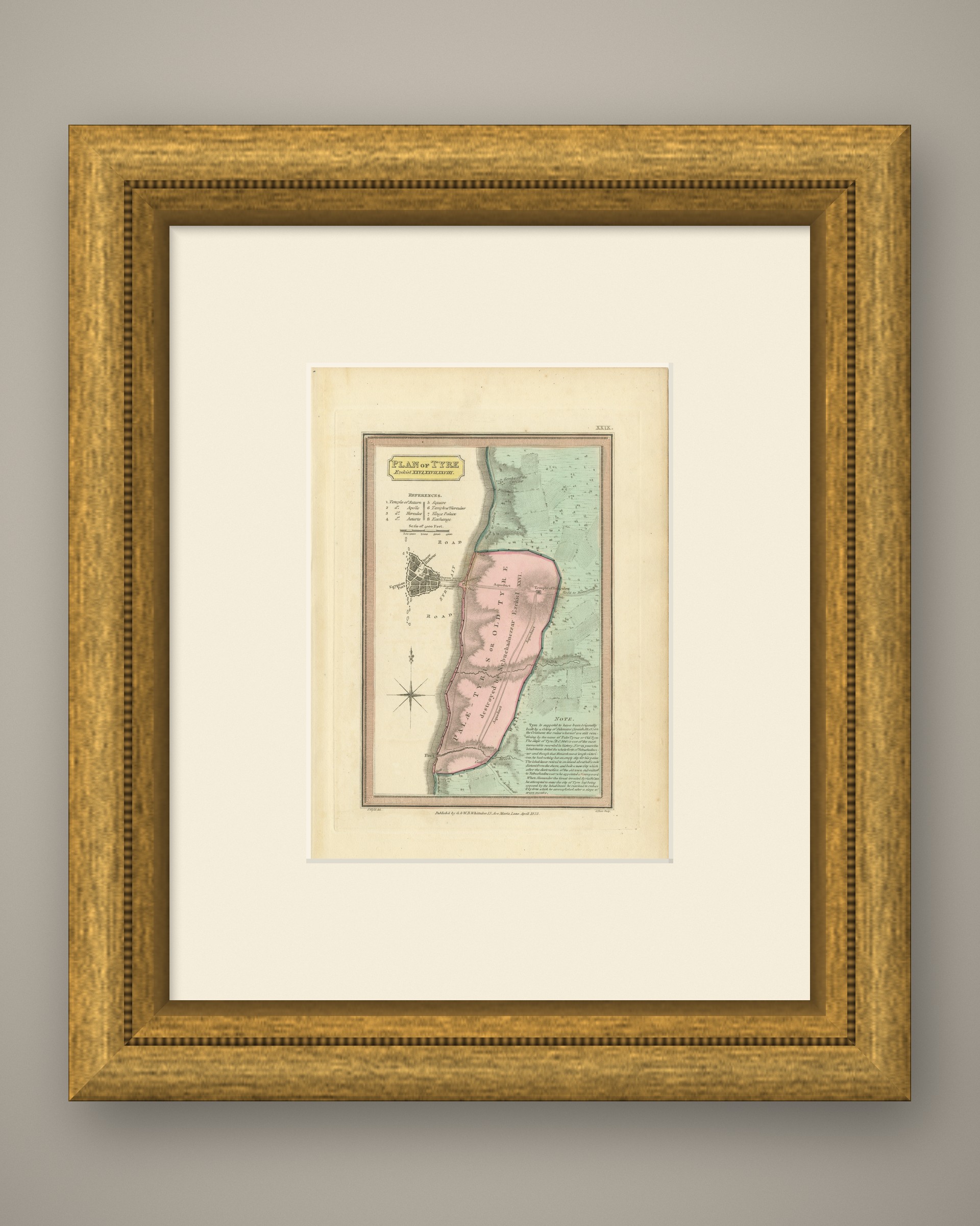
This is an original antique map, not a modern reproduction. This item is sold unframed. Any framed or interior images are shown for presentation and inspiration only, unless the listing explicitly states that the item is sold framed.