Maps & PrintsBartele Gallery · Langweer
Home / Antique Maps / Asia / South-East Asia

South-East Asia · 18th century

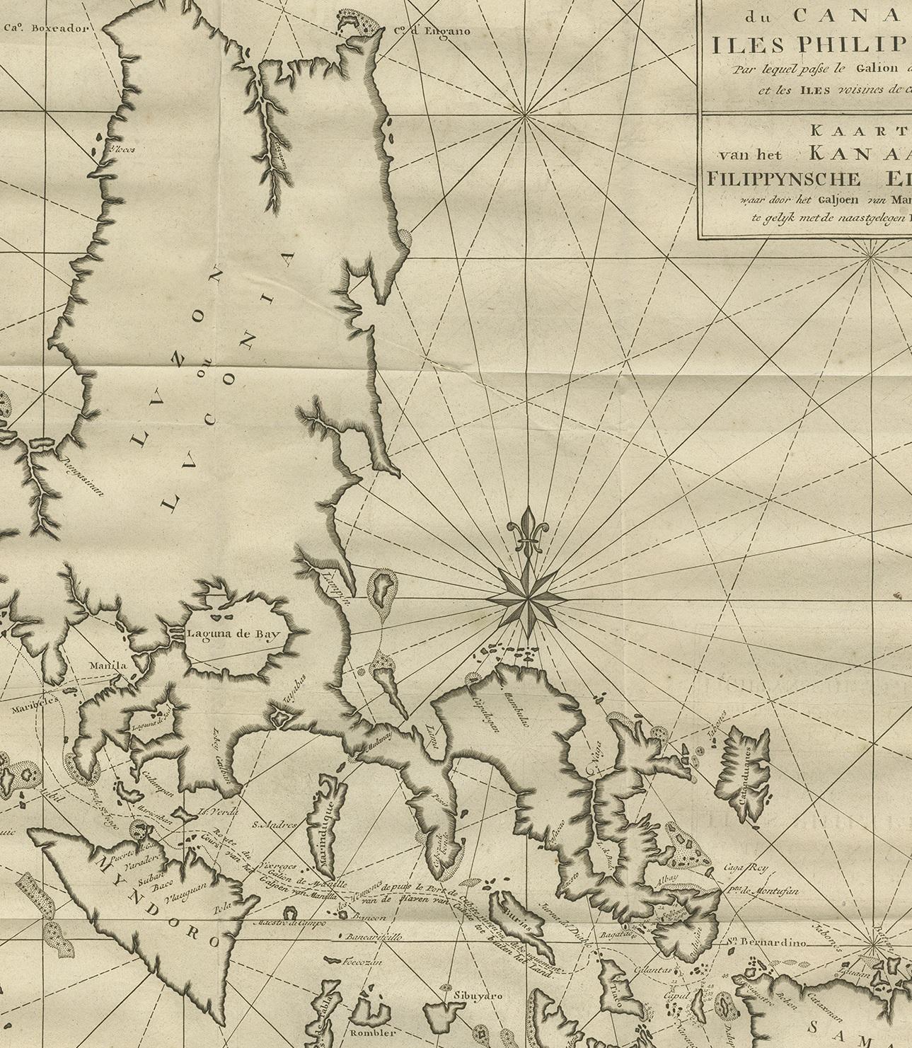
Antique Map of the Philippines by Anson, 1749

€ 900

One of a kind: this is the sheet in the photographs. Ships from Langweer, the Netherlands.

Date
1749
Technique
Engraved
Sheet size
62 × 51 cm (24.4 × 20.1 in)
Condition
Good
Reference
BG-11589-1

Condition

Age-related toning, original folding lines. Small defect/tear in right margin. Shows some wear and staining, blank verso. Please study images carefully.

About this sheet

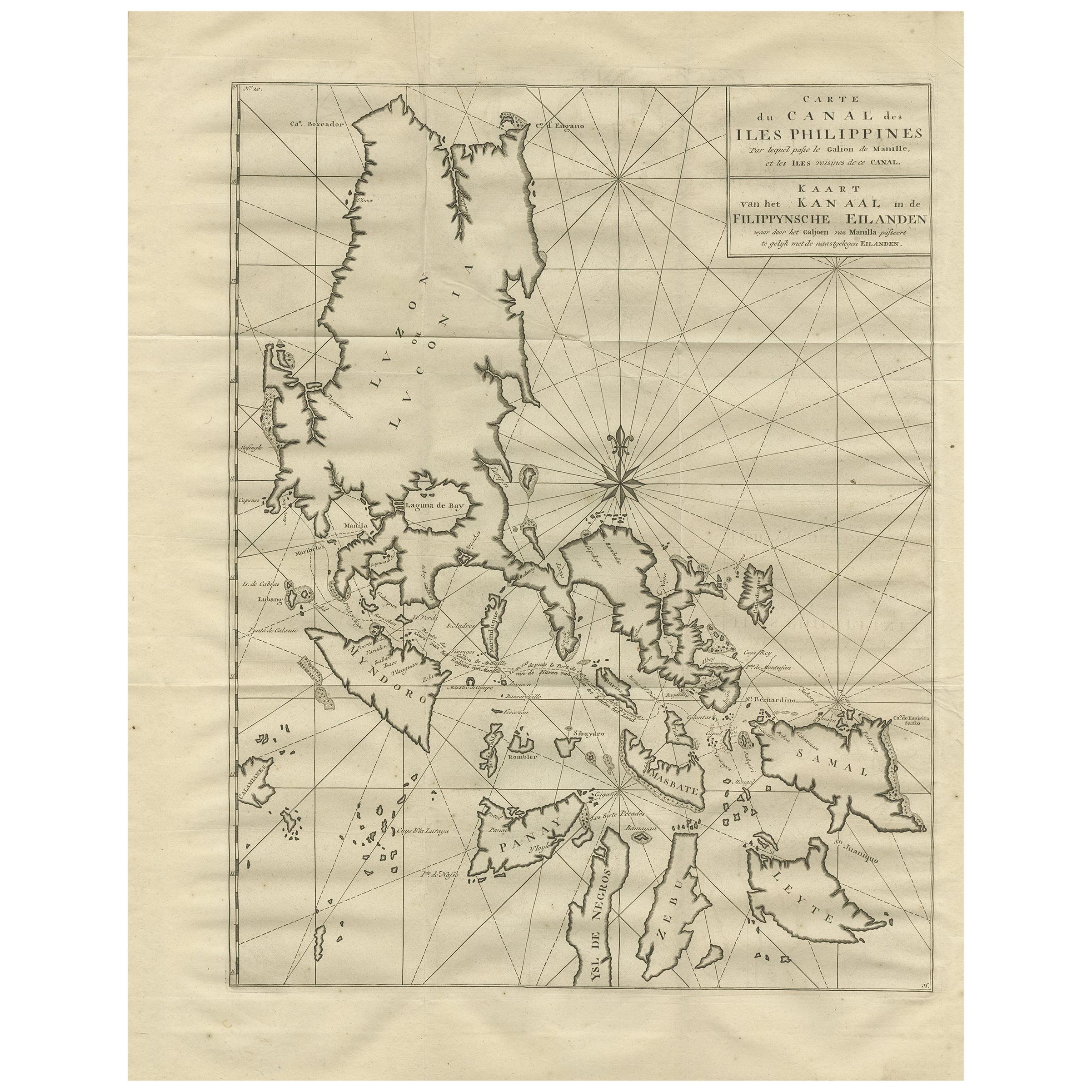
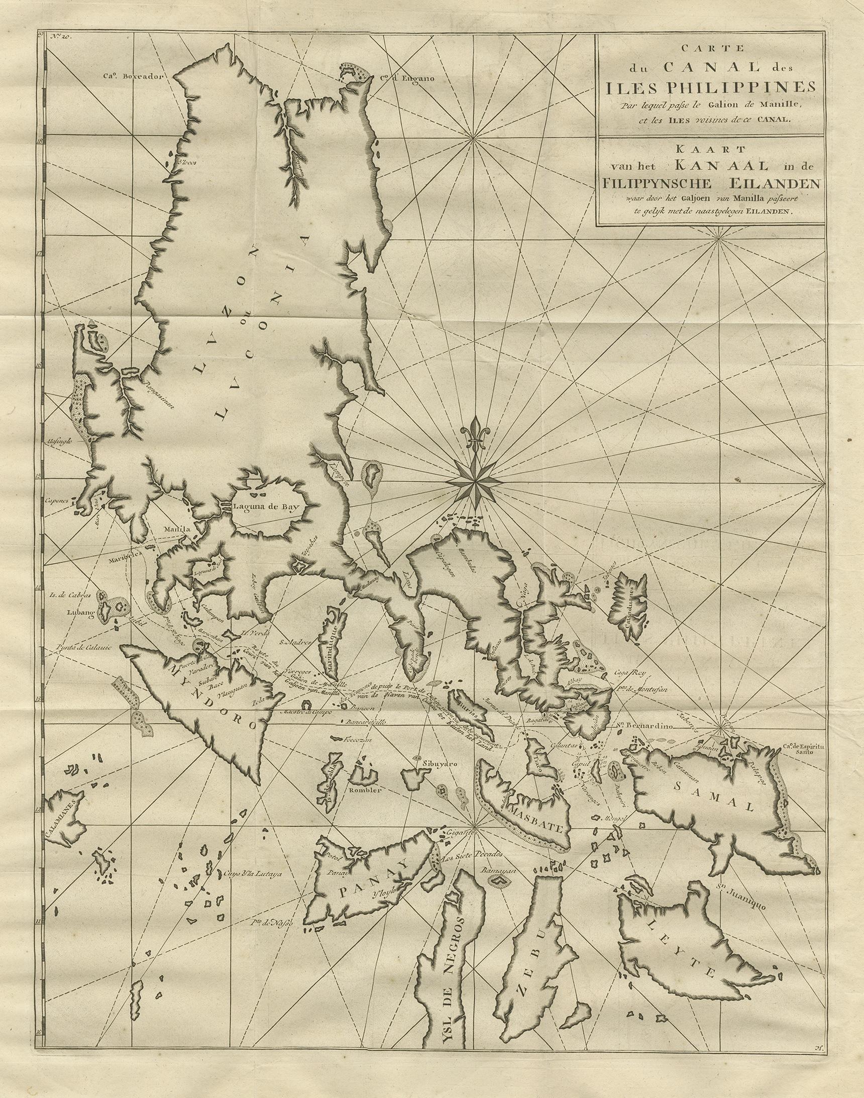
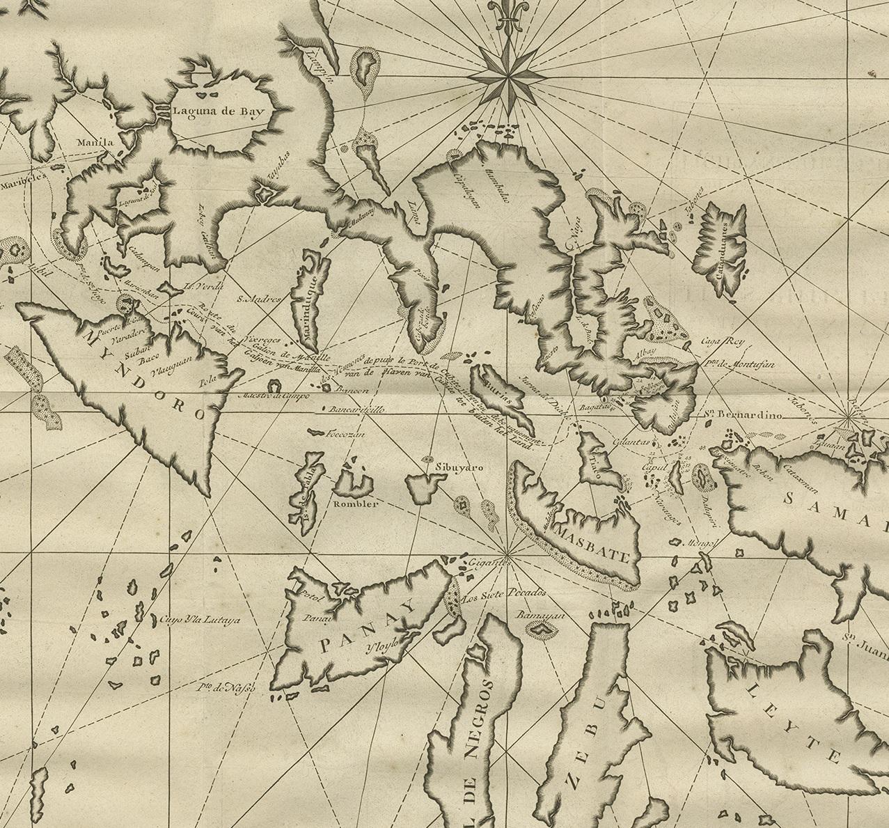
Antique map titled 'Carte du Canal des Iles Philippines - Kaart van het Kanaal in de Filippynsche Eilanden'. Large detailed chart of the islands of the Philippines. One of the most detailed charts of the Philippines of the era. Shows Islands, bays, reefs, soundings tracks of the Manila Galleon route, etc. Includes a large compass rose and rhumb lines. This map originates from 'Reize rondsom de Werreld (..)' by George Anson, published 1749.

More from South-East Asia

Ask about this sheet

Antique Map of the Philippines by Anson, 1749
1749 · Ref. BG-11589-1 · € 900
We reply by email, usually within one working day.