About this sheet
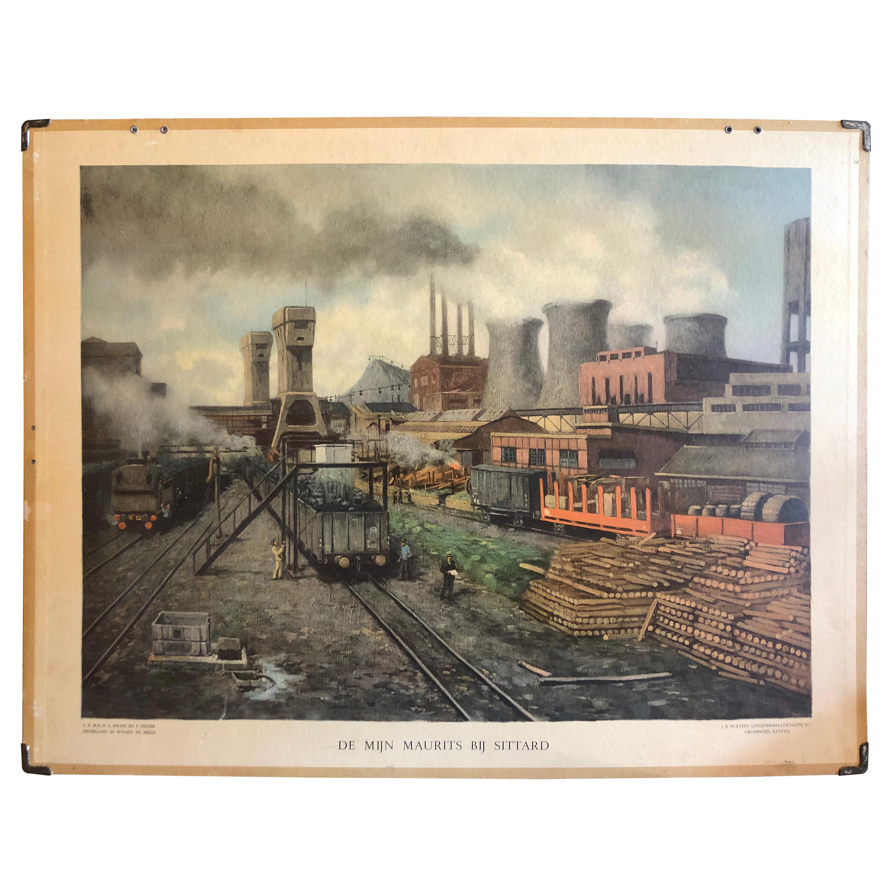
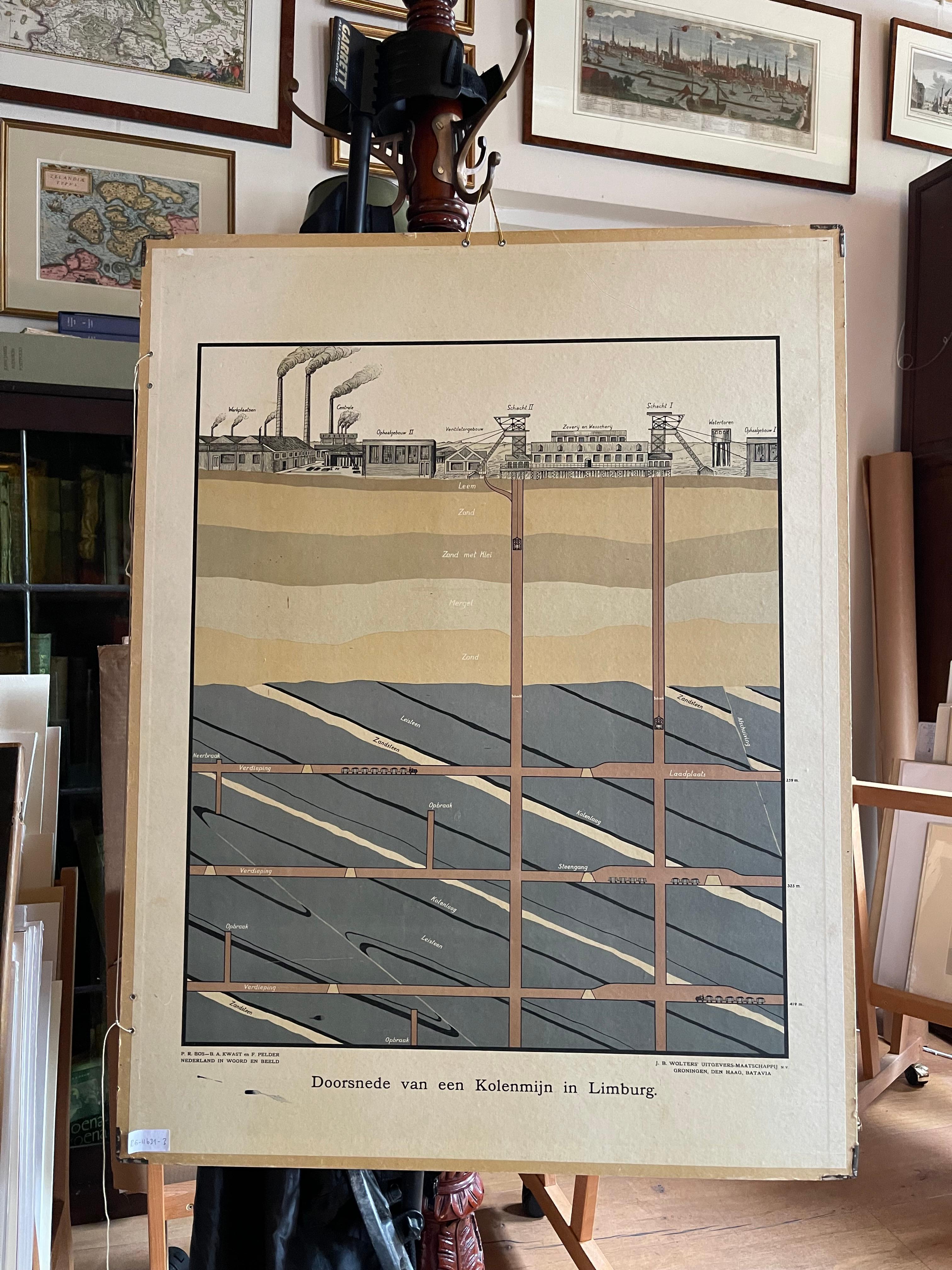
Sittard is a city in the province of Limburg, in the south of Holland. In 1947 this coal mine was connected to another mine: the Emma Mine, by a 13 km straight tunnel. In the second half of the 1940s and in the 1950s the mine was expanded, and mining reached a depth of 810 m. A third shaft was completed in 1958. At the time of completion of the third shaft, the Maurits mine was the largest two-shafts mine in the world. It was the largest coal mine in the Netherlands. When in the beginning of the 1960s the economic tide for coal mining turned, it was already anticipated to close the Maurits as one of the first mines. The mine was finally closed down in 1967. The surface facilities were afterwards demolished.
Directly adjacent to the mine site, DSM had already decades before started with cokes production and gasproduction. The "Stikstof Bindingsbedrijf" (SBB - or "nitrogen bonding plant") became the locus for the next step in the history of DSM: it became (and still is) a large chemicals company.
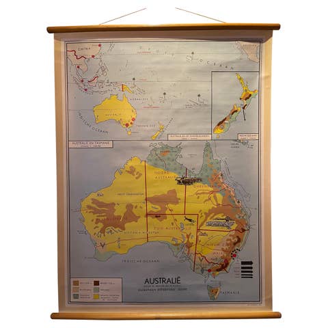
This school chart was Published in 1931 by J.B. Wolters' Uitgeversmaatschappij n.v. - Groningen, Den Haag, Batavia.
Maker: Gabriëlse
Light wear consistent with age and use, Patina consistent with age and use, a scratch on the lower left corner. Study the image carefully.