About this sheet
Antique Map of Zeeland – Sleeswijk Atlas, 1914
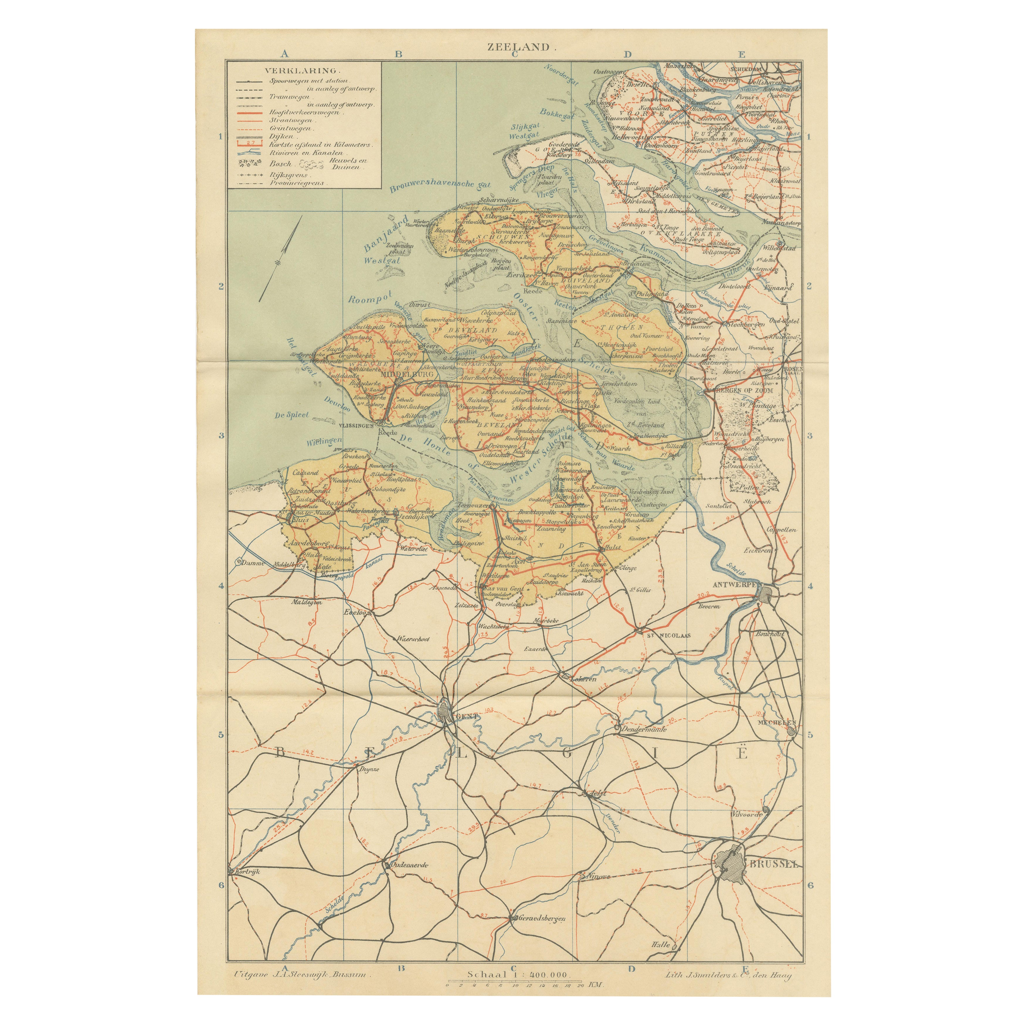
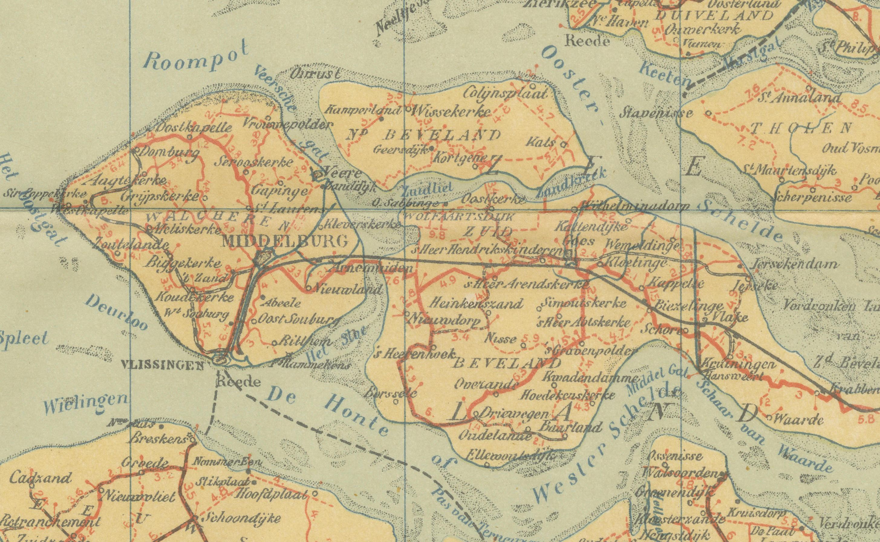
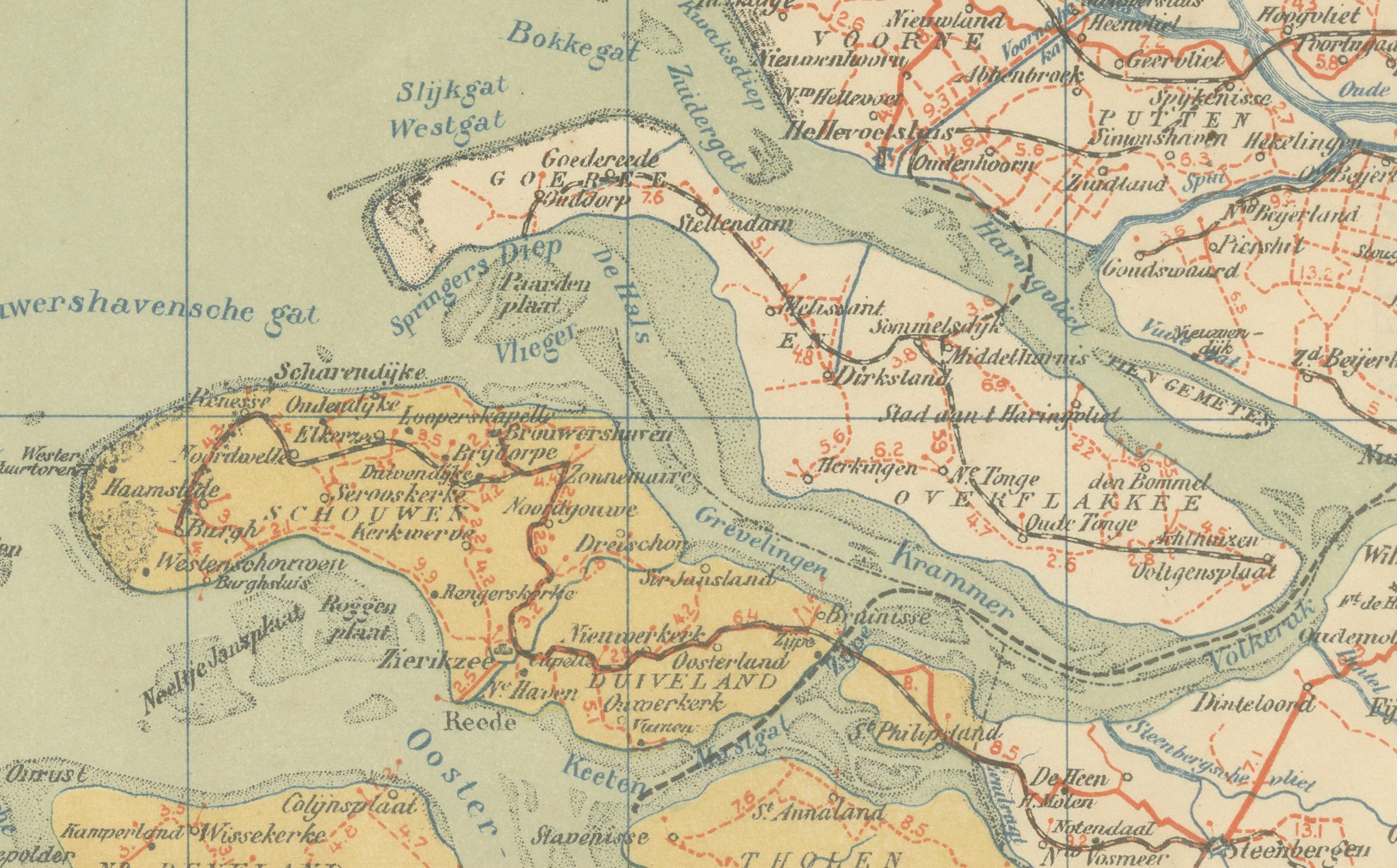
This antique map of Zeeland was published in 1914 in the Sleeswijk Atlas, one of the most widely used Dutch school atlases of the early 20th century. It depicts the province of Zeeland, with its characteristic delta landscape of islands, peninsulas, and waterways, as well as its close connection to the neighboring Belgian regions and the city of Antwerp.
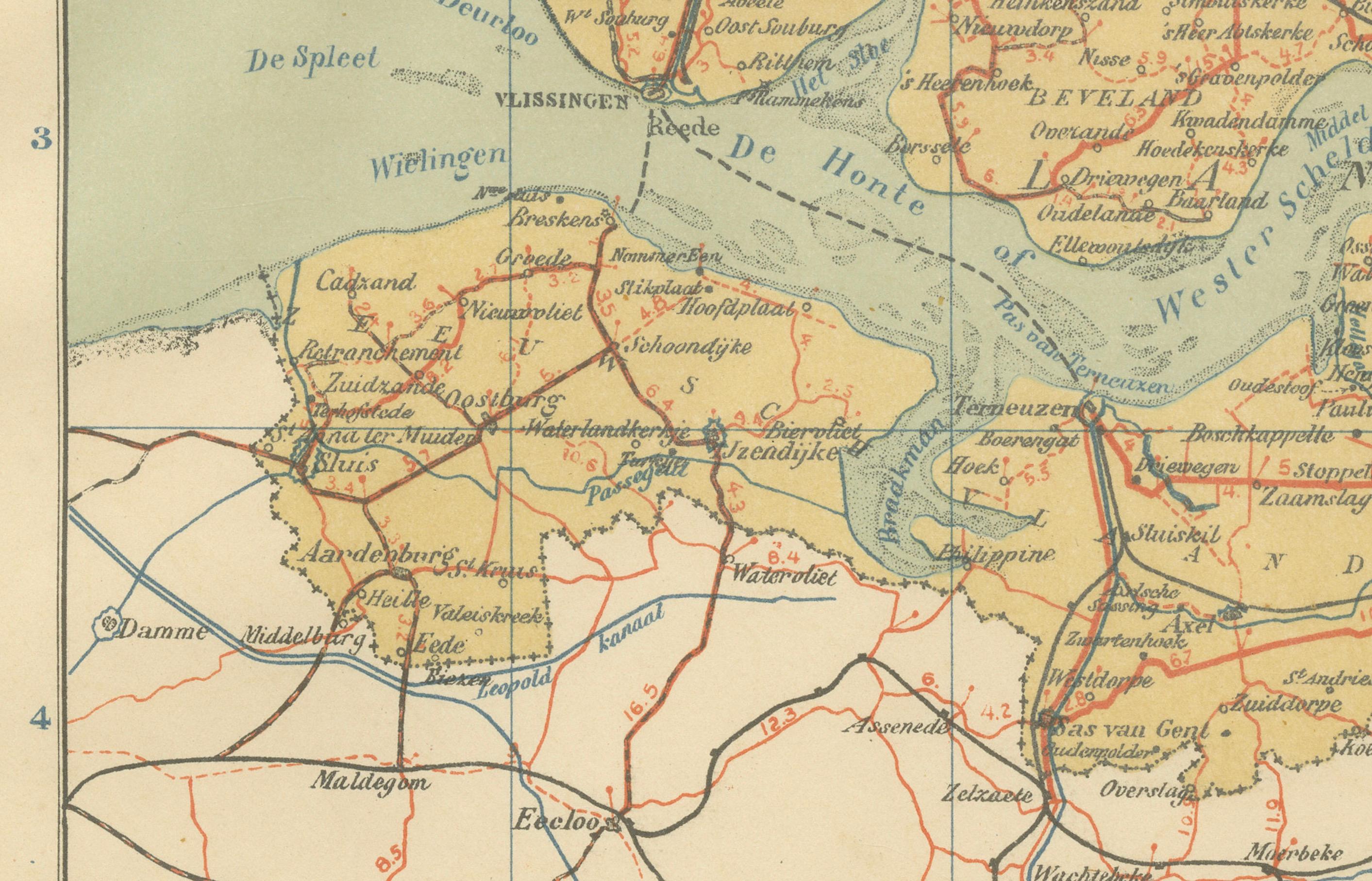
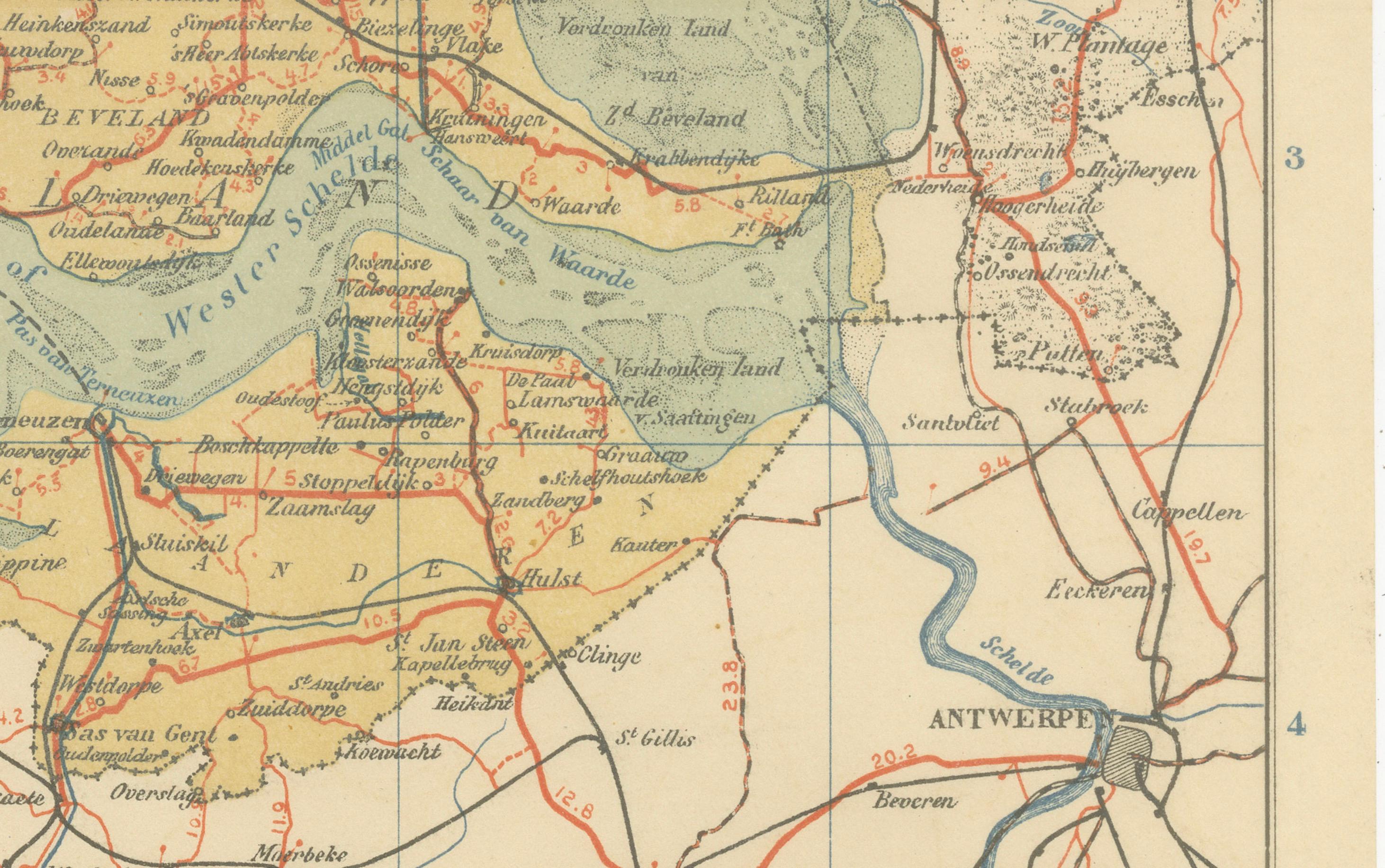
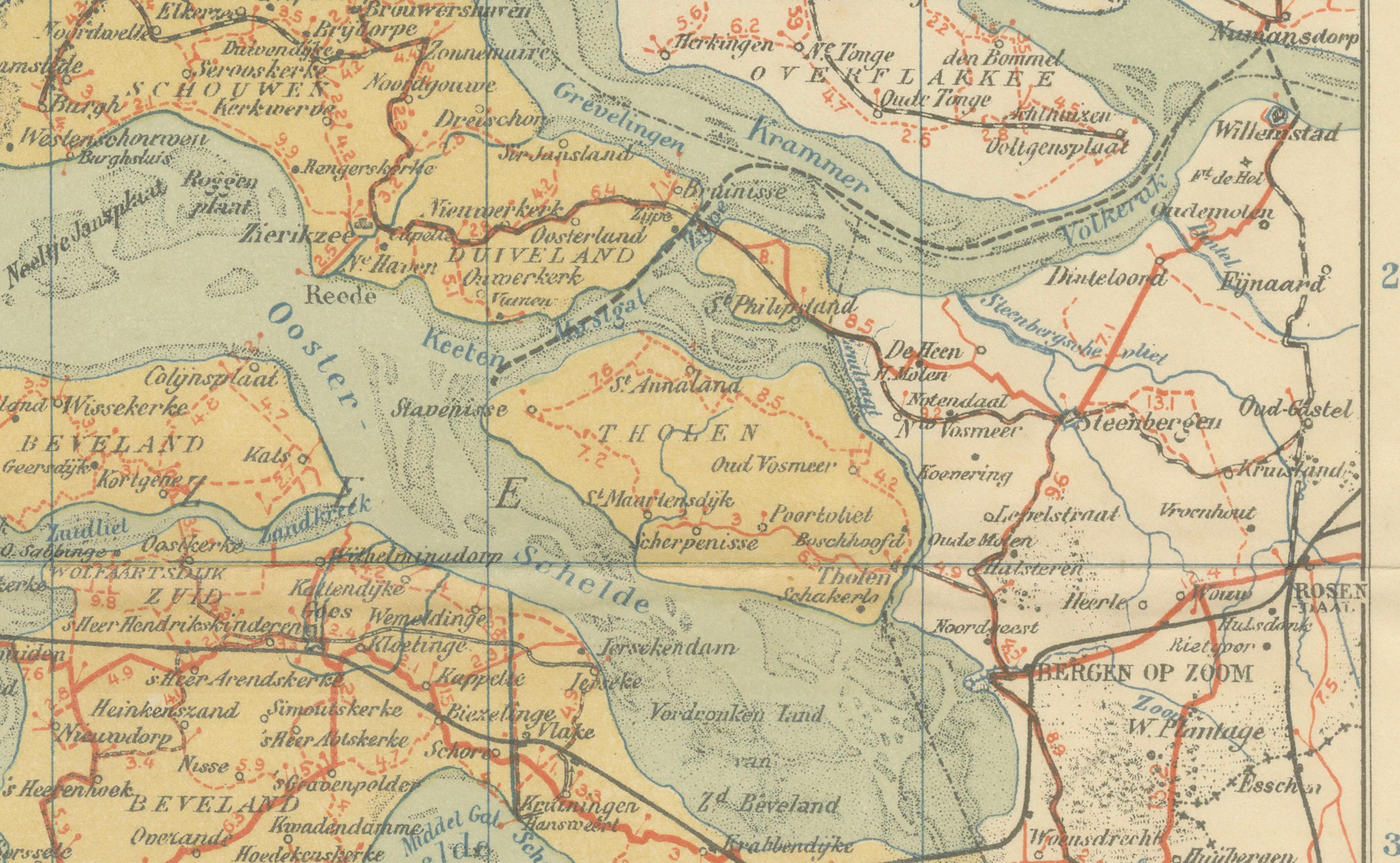
The map shows Zeeland’s major islands and peninsulas, including Walcheren, Zuid-Beveland, Noord-Beveland, Schouwen-Duiveland, and Zeeuws-Vlaanderen. Important towns such as Middelburg, Vlissingen, Goes, Zierikzee, and Terneuzen are prominently marked, while Antwerp and Brussels are also included on the southern section of the sheet, underlining the strong cultural and economic ties of Zeeland with Belgium. The network of rivers, estuaries, and sea inlets such as the Westerschelde, Oosterschelde, and Hontsche Gat is carefully drawn, reflecting Zeeland’s defining relationship with water.
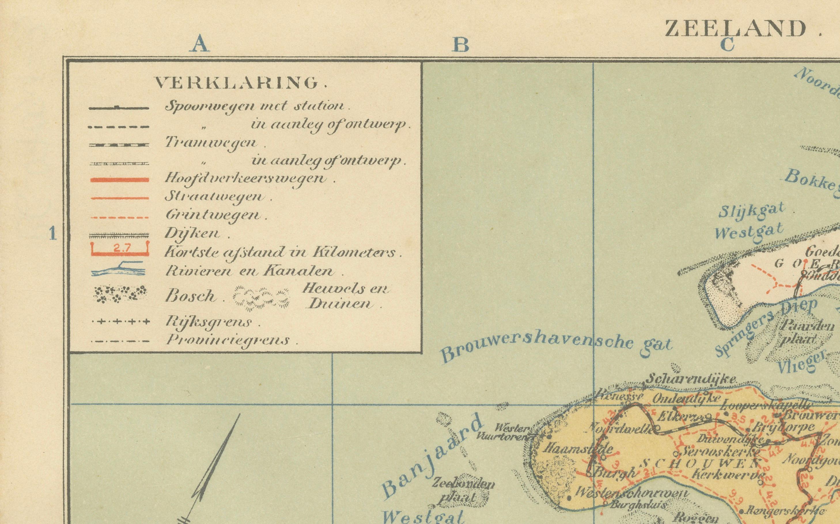
The legend (“Verklaring”) at the upper left provides symbols for railways, tramways, main and secondary roads, waterways, and administrative boundaries. Red lines highlight the railway system, which connected the islands and offered links to Belgium. This visualizes Zeeland at the beginning of the 20th century, just before the massive 20th-century engineering works such as the Delta Works reshaped its landscape.
Published by A. Sleeswijk in Bussum and lithographed by J. Smulders & Co. in The Hague, the map is part of the high-quality lithographic production typical of Dutch educational cartography in this period. Its clear design and soft color scheme made it suitable for classroom use, while today it provides collectors and historians with a valuable record of Zeeland’s geography in 1914.
Condition report: Very good condition with original centerfold as issued. Minor toning and light handling traces at the margins. Plate mark visible. Colors well preserved with sharp detail.
Framing tips: A soft ivory or pale beige mat will highlight the pastel tones, while a dark wood or thin black frame provides contrast for a clean, modern look. For a traditional presentation, a gilt frame enhances the historical charm and complements the map’s warm color palette.
Technique: Lithograph with original color
Maker: A. Sleeswijk, Bussum / J. Smulders & Co., The Hague, 1914