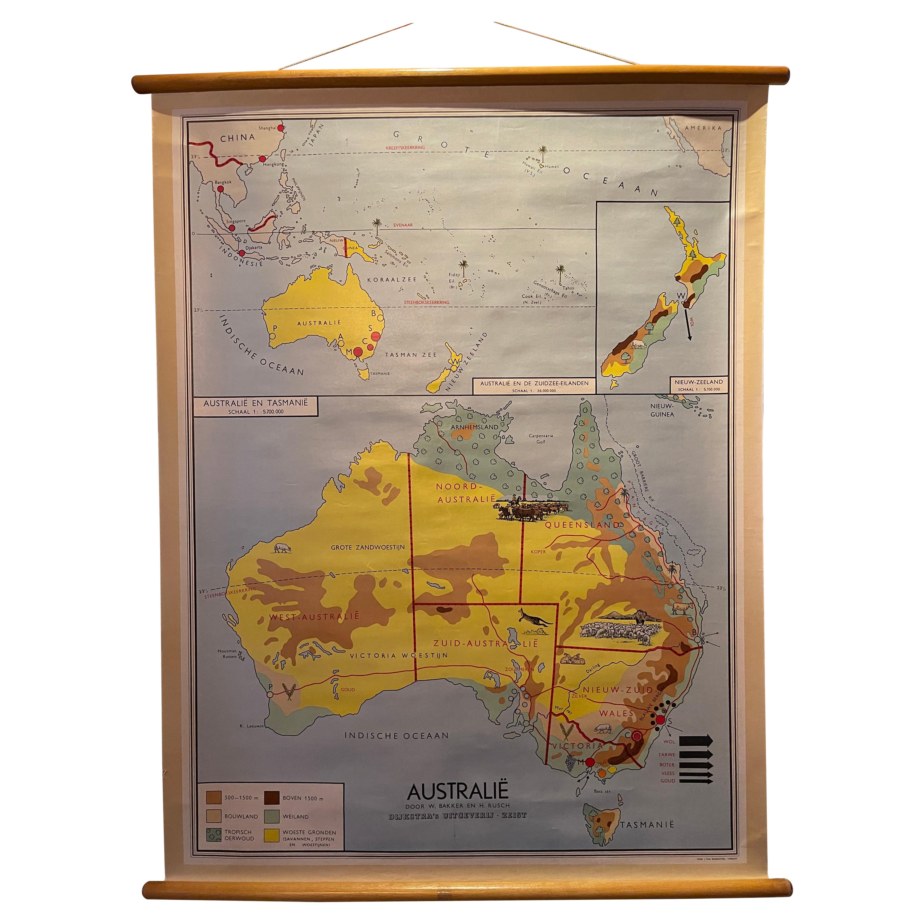
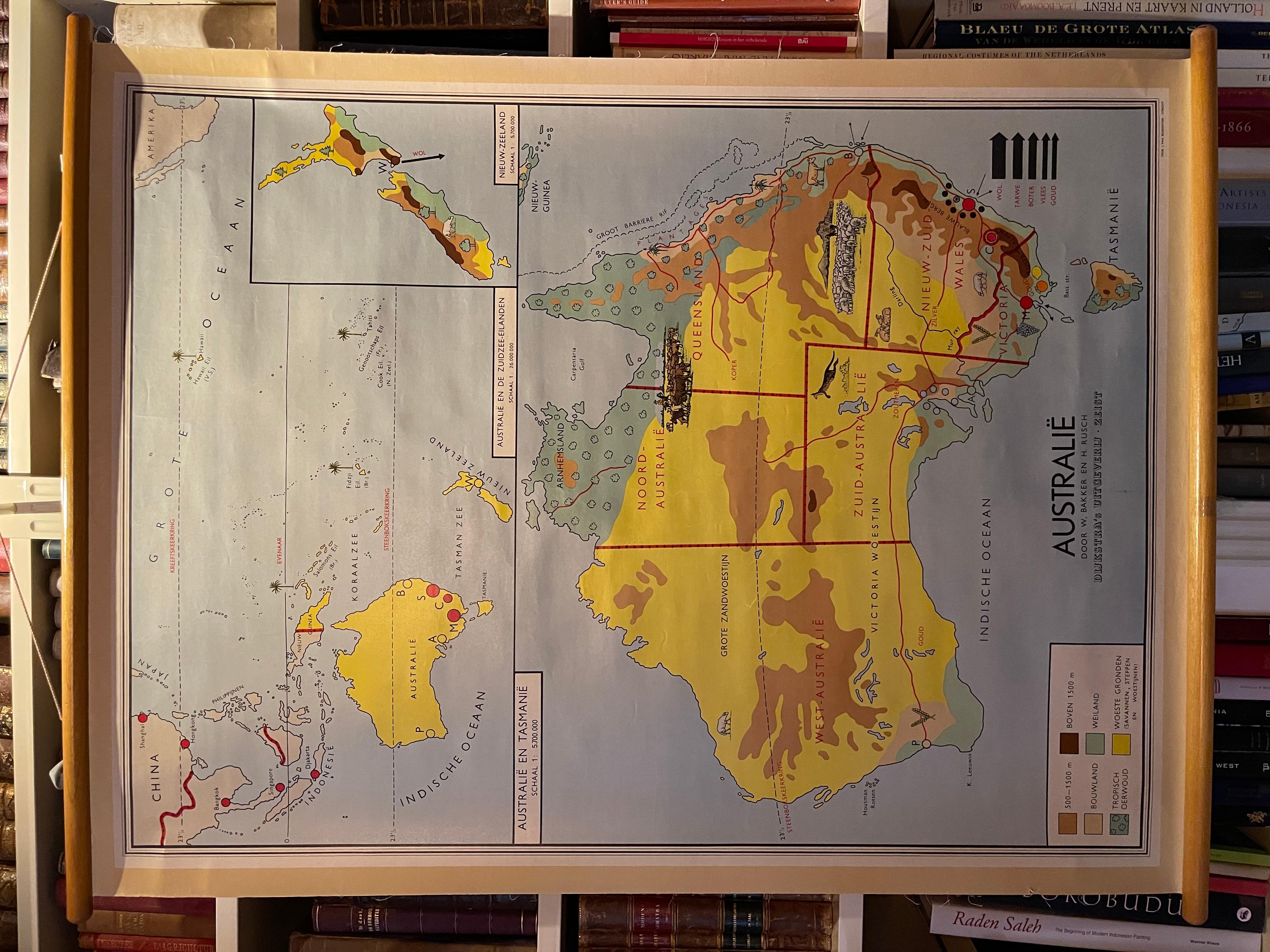
Decorative Vintage Print, Dutch Chart of Australia, 1st Edition, 1952
€ 350
One of a kind: this is the sheet in the photographs. Ships from Langweer, the Netherlands.
Date
1952
Sheet size
112 × 83 cm (44.1 × 32.7 in)
Condition
Good
Reference
BVRP-005
Condition
Good. A few signs of wear due to age and handling.
About this sheet
The vintage school chart of Australia titled "Australië," created by W. Bakker & H. Rush and published in 1952:
**Title**: Australië **Creators**: W. Bakker & H. Rush **Publication Year**: 1952 **Publisher**: Dijkstra Uitgeverij Zeist **Printer**: J. van Boekhoven in Utrecht, The Netherlands **Scale**: 1:5,700,000 **Dimensions**: 83 x 112 cm
This first edition school chart of Australia is a notable educational tool from the early 1950s. Created by W. Bakker and H. Rush, it reflects the geographical understanding and educational methods of the time. The chart's scale of 1:5,700,000 allows for a detailed representation of Australia's geographical features, making it an excellent resource for educational purposes.
The chart was published by Dijkstra Uitgeverij Zeist, a publisher known for producing quality educational materials, and printed by J. van Boekhoven in Utrecht, The Netherlands, ensuring its high printing standards. The size of the chart, 83 x 112 cm, is substantial, making it suitable for classroom display and easy viewing by students.
**Significance**: As a vintage educational tool, this school chart is not only a window into the pedagogical approaches of the early 1950s but also serves as a historical document depicting Australia's geographical features as understood at the time. It is a valuable item for collectors, educators, and those interested in historical cartography and educational history.
This description aims to provide potential viewers or buyers with a clear and comprehensive understanding of the school chart's historical and educational value, as well as its physical characteristics.