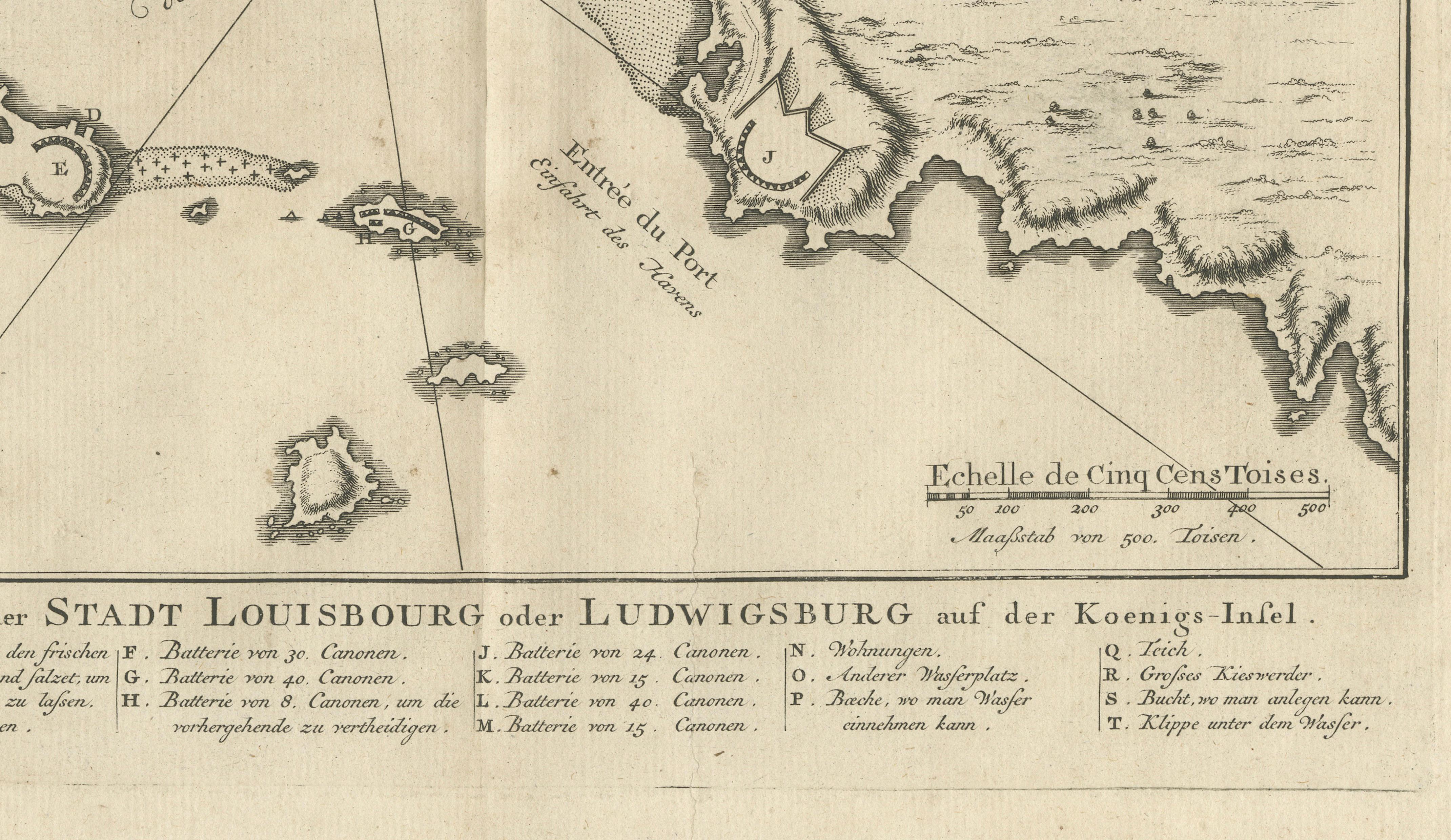
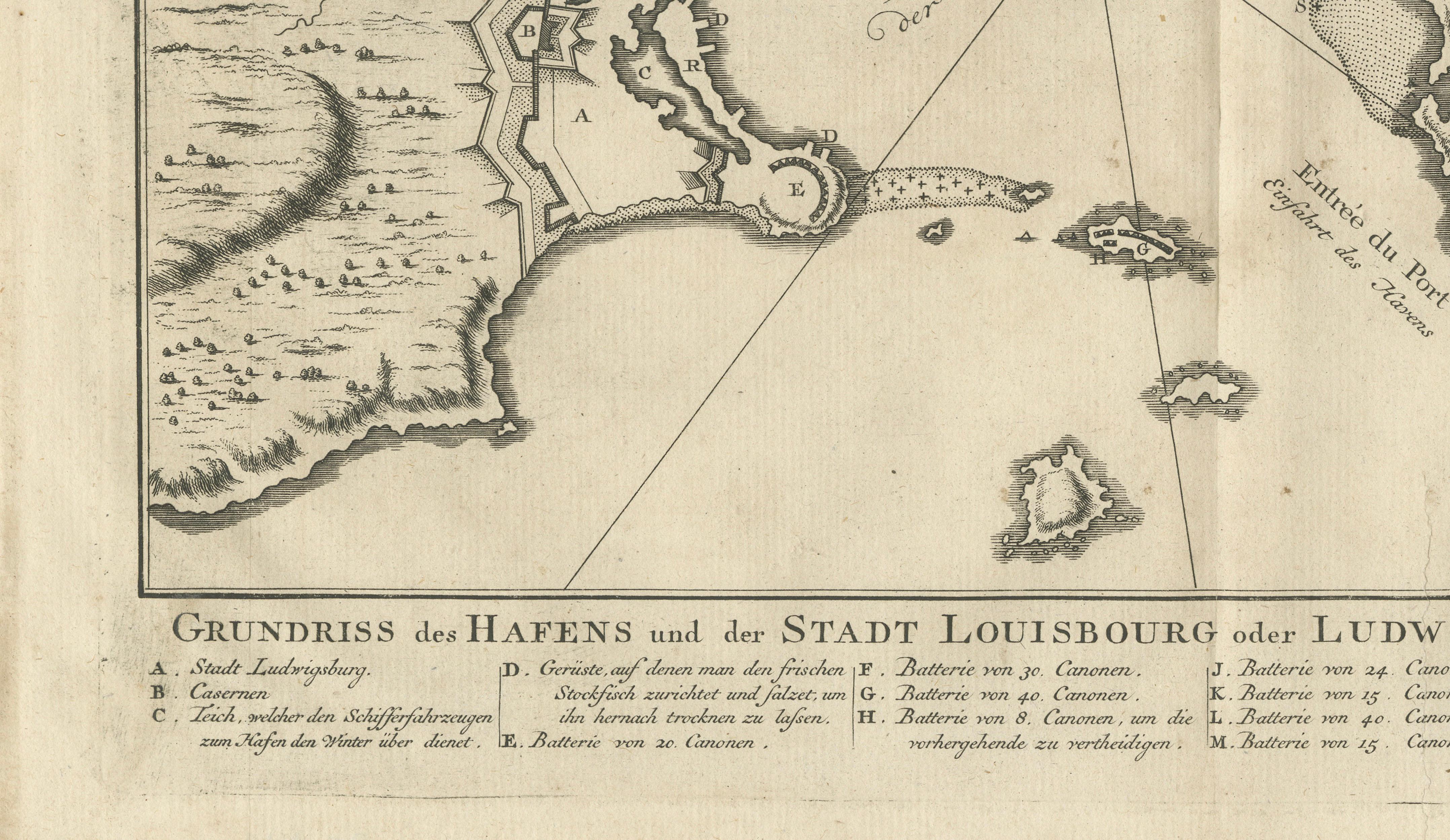
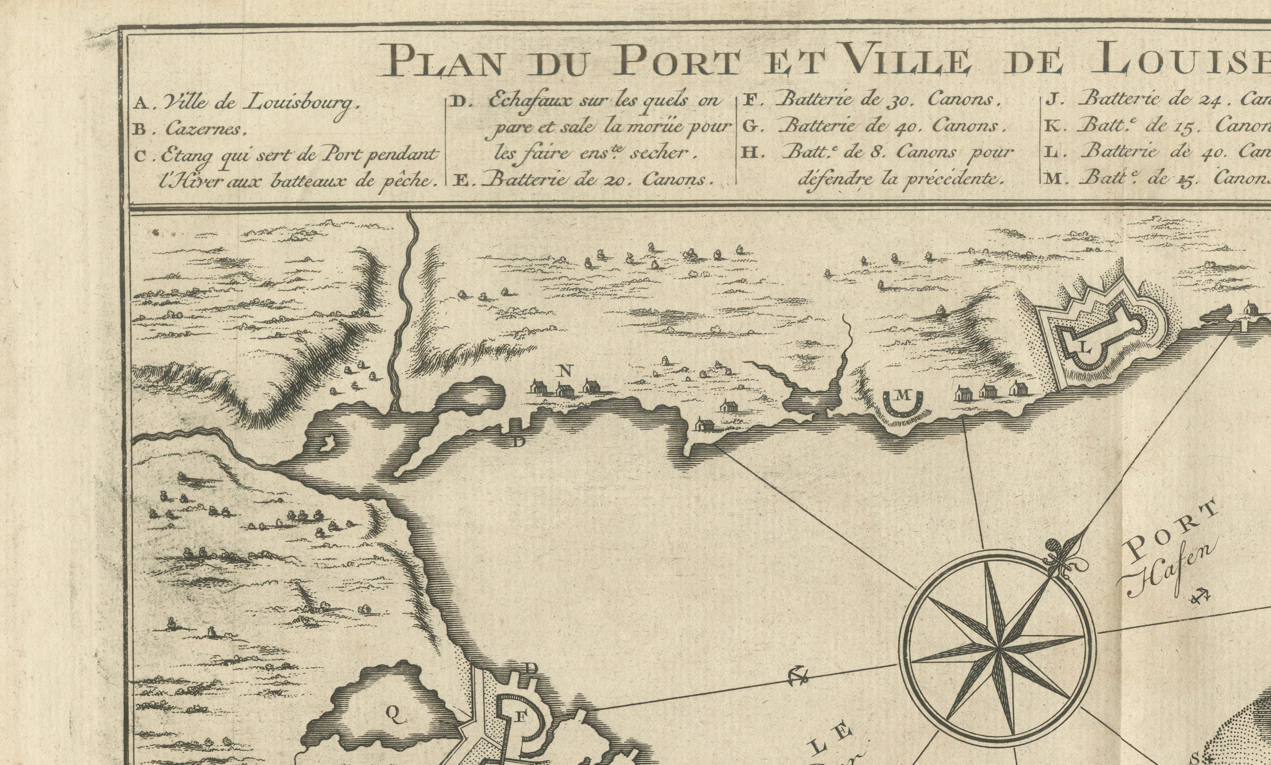
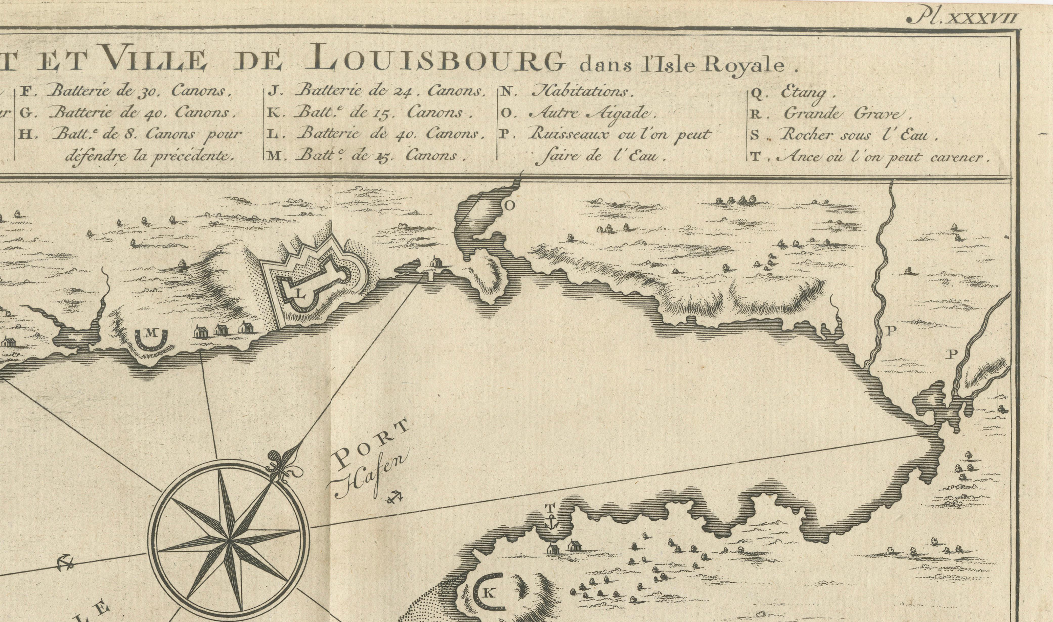
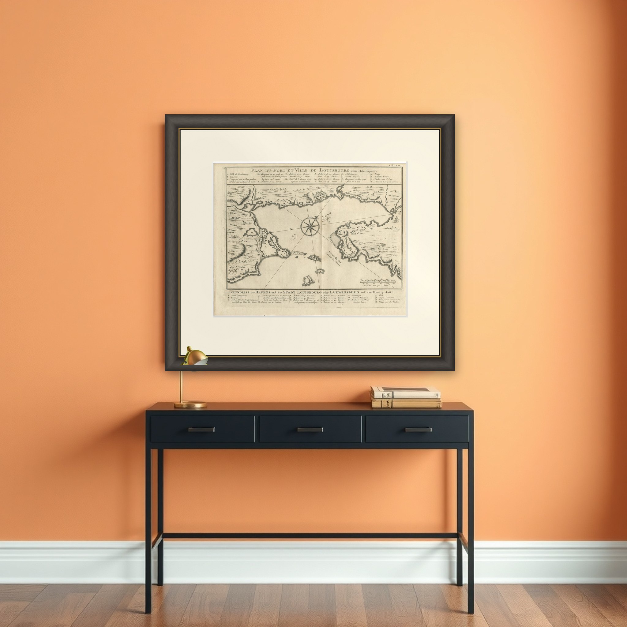
Plan of Louisbourg Harbor and Fortress, Cape Breton Island, c.1756
€ 395
Original antique · The actual sheet photographed · Certificate of authenticity on request · Sold unframed · Worldwide shipping from € 15 (rates)
Date
1756
Sheet size
24.3 × 30.5 cm (9.6 × 12.0 in)
Condition
Good
Reference
BG-14302-26
What the condition grades mean
Excellent
Bright and clean, with no faults worth mentioning.
Very good
Only light signs of age, such as faint toning.
Good
Normal signs of age for a sheet of this period: toning, some foxing, small marks or neat old repairs.
Fair
Clear faults such as staining, tears or repairs, priced to match.
Every fault we see is written in the condition note, and the whole sheet is shown uncropped in the photos.
Condition
Good condition consistent with age. Light age toning and occasional minor foxing. Strong impression with wide margins. Minor handling wear at the sheet edges. One tear professionally repaired. Please examine photographs carefully.
About this sheet
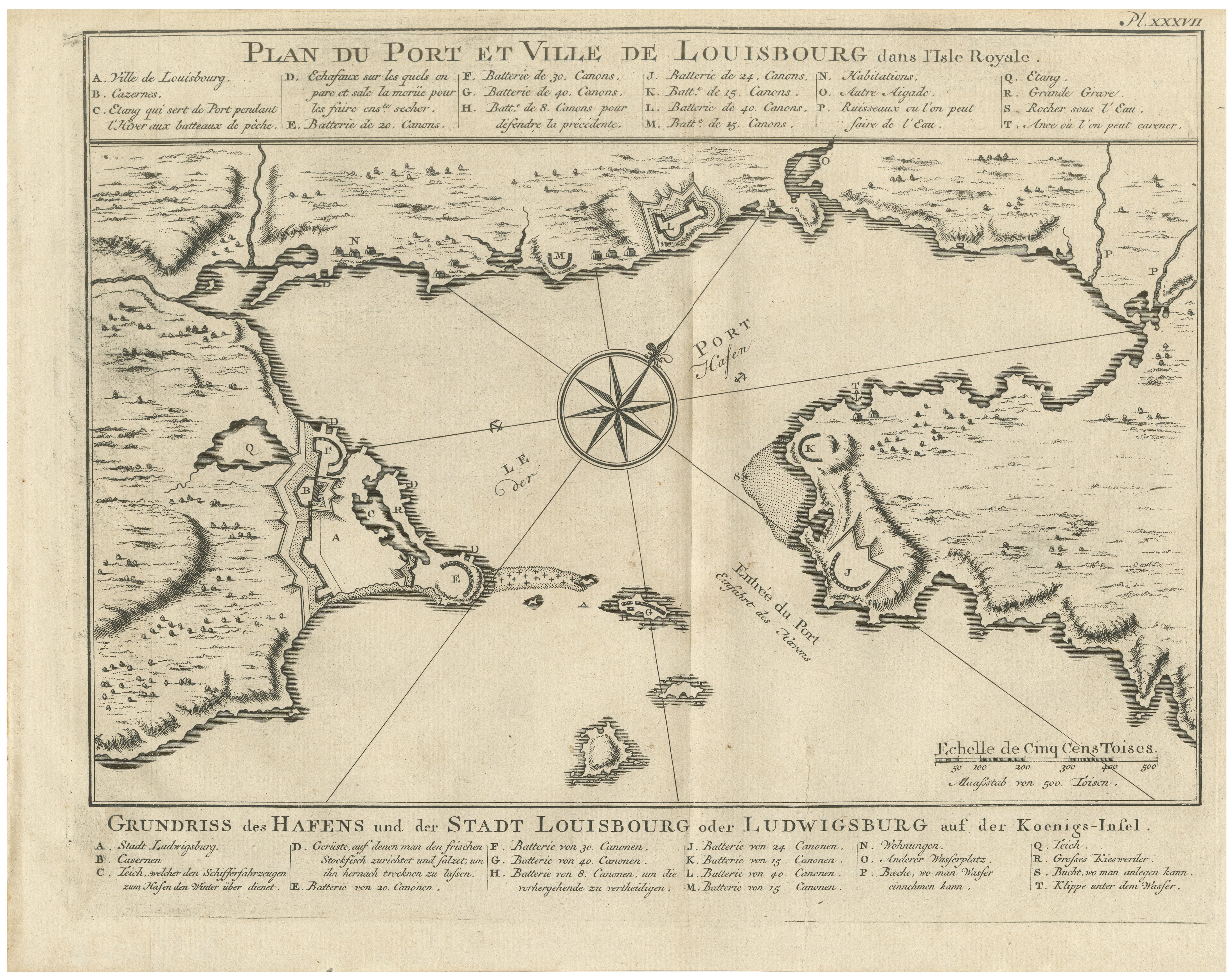
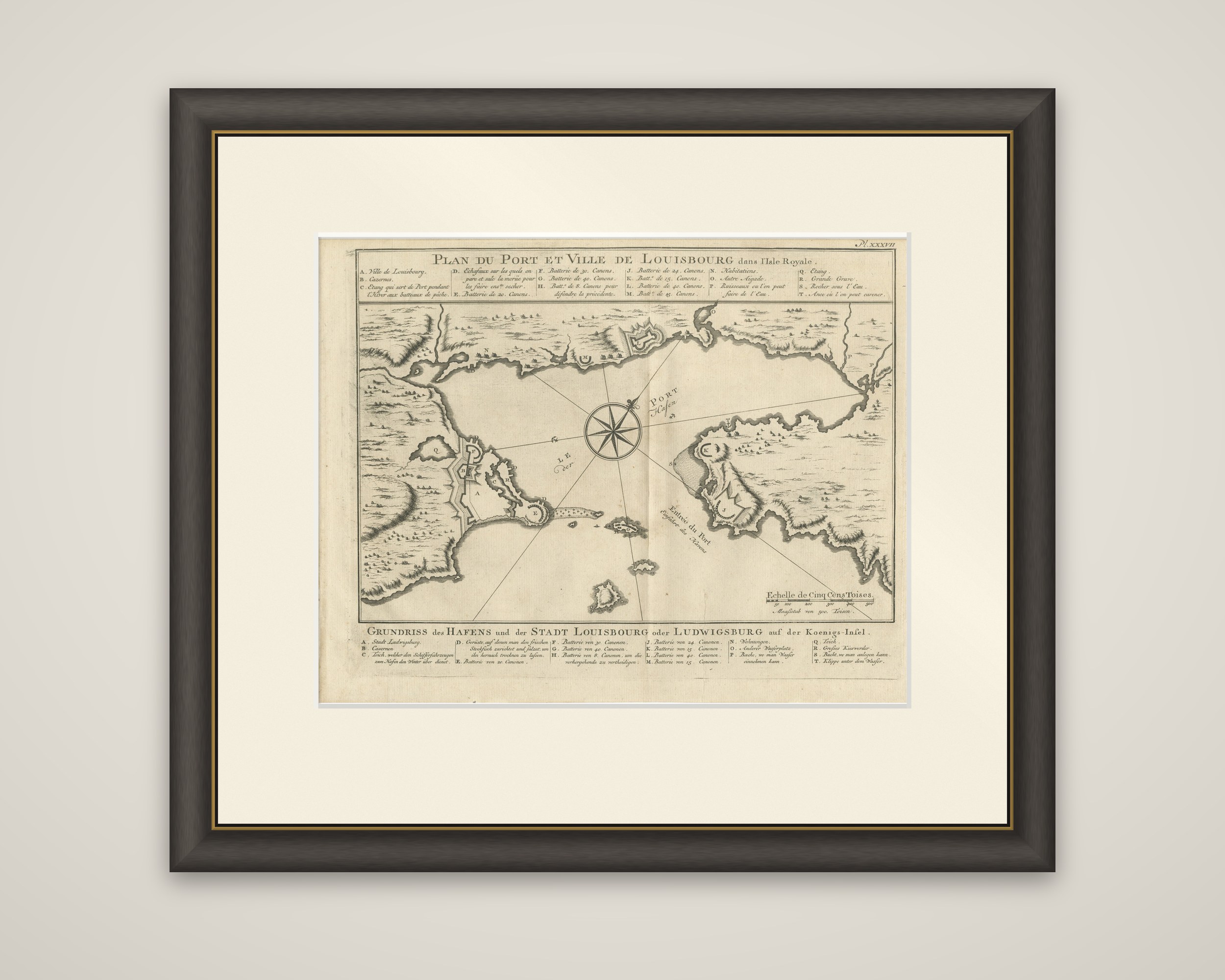
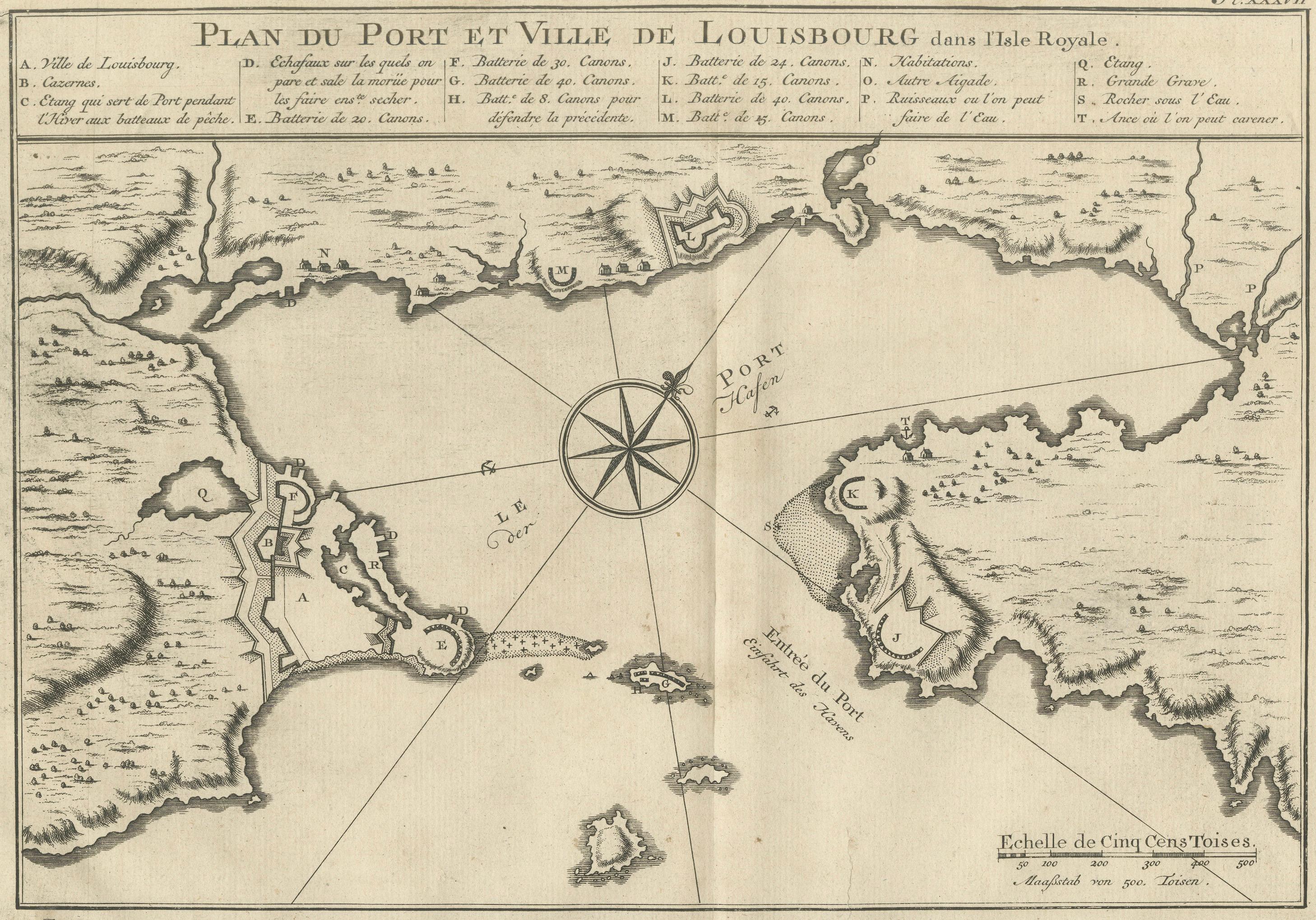
The harbor and fortress of Louisbourg on Cape Breton Island, an original copper engraving of about 1756 by Jacques-Nicolas Bellin, engraved in French with a German translation. The French title, "Plan du Port et Ville de Louisbourg dans l'Isle Royale", runs across the top above a lettered key, and a German title, "Grundriss des Hafens und der Stadt Louisbourg oder Ludwigsburg auf der Koenigs-Insel", with a matching key, appears below the plan. A plate number is at the upper right and a scale of five hundred toises sits in the lower right.
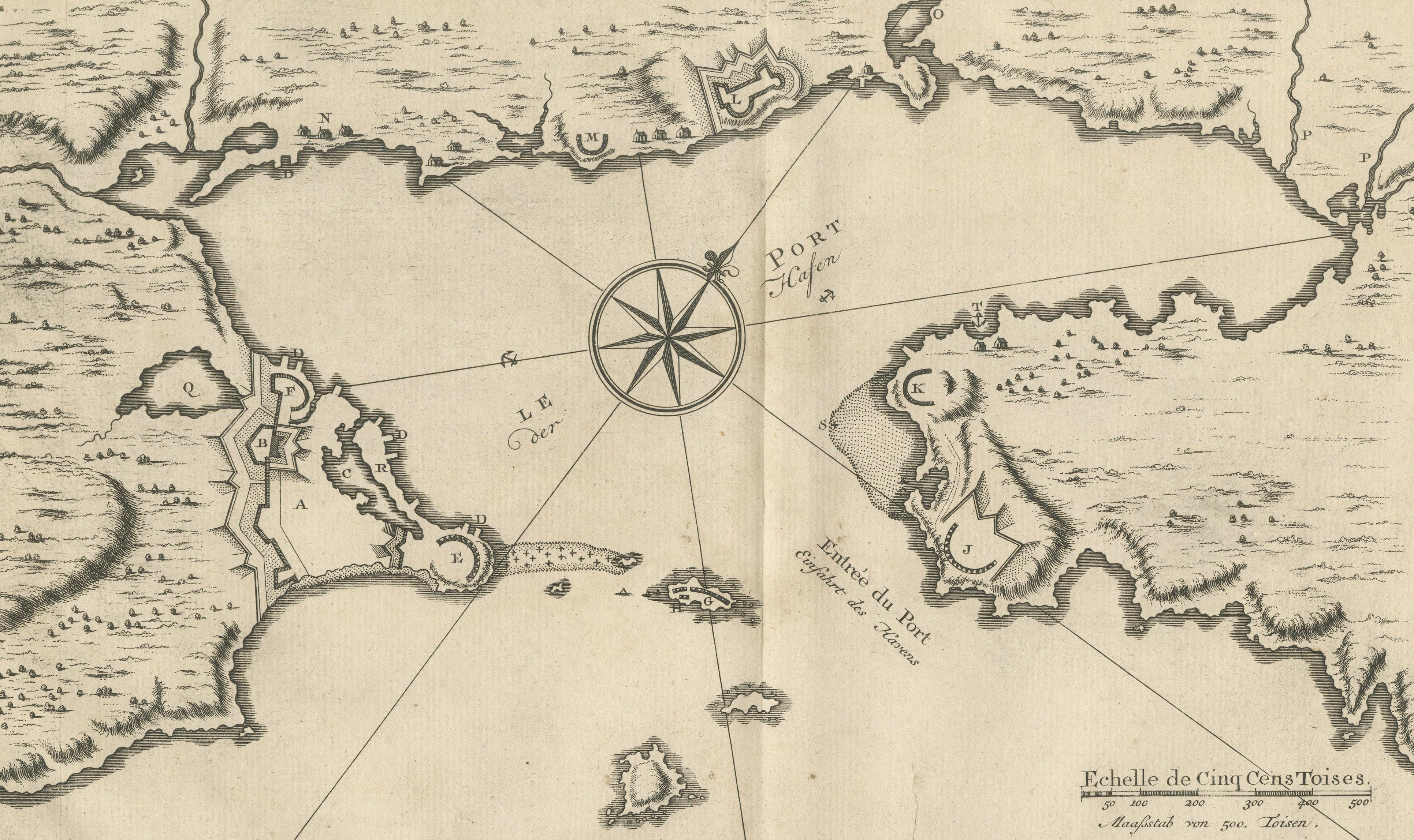
The plan shows the walled town and its bastions on the point at the left, with batteries marked by letters around the harbor and the island battery at its mouth. A large compass rose with rhumb lines stands in the center of the harbor, and the shoreline is drawn with hachures. The keys identify the town, barracks, batteries of various calibers and the places where ships could careen and take on water.
Louisbourg was the chief French fortress on the Gulf of St. Lawrence. It was taken by the British in 1745 and again in 1758, and Bellin was Hydrographer to the French Navy.