About this sheet
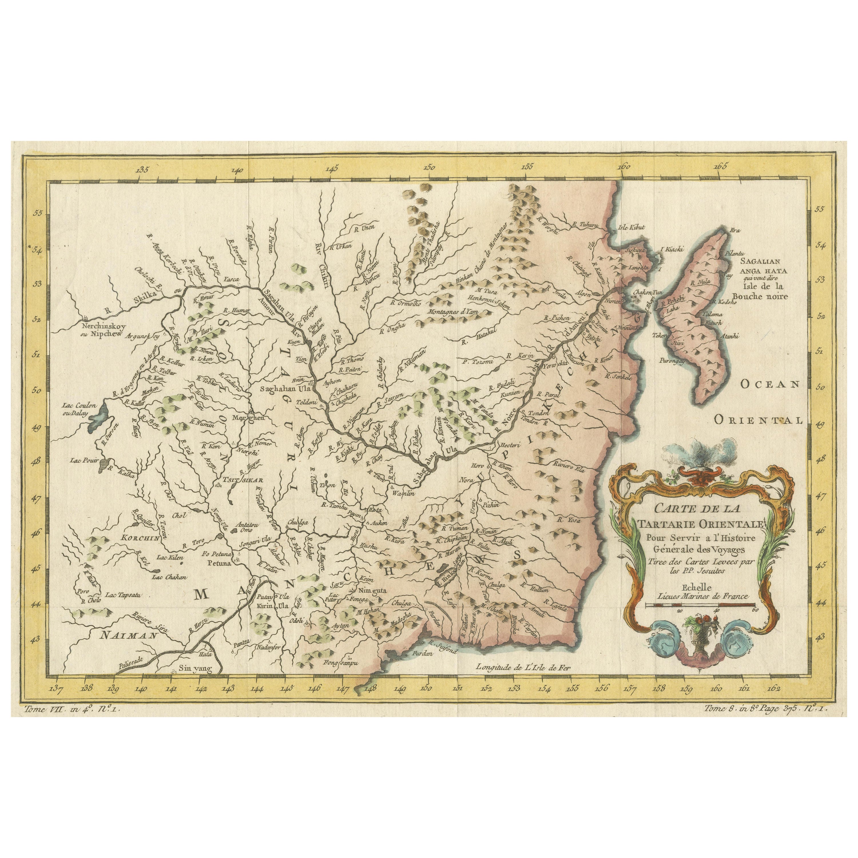
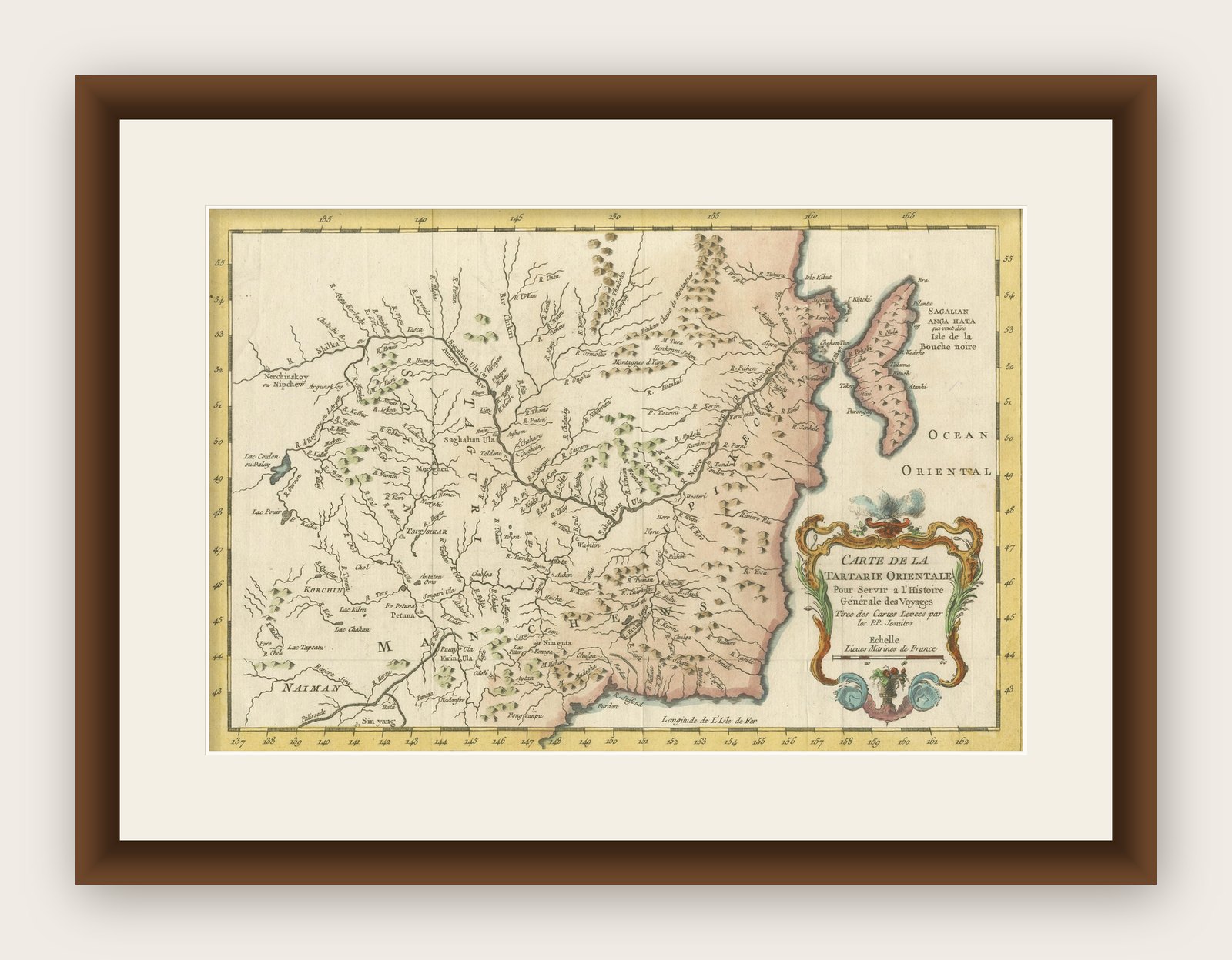
The antique map titled 'Carte de la Tartarie Orientale pour Servir a l'Histoire Generale des Voyages Tiree des Cartes Levees par les P.P. Jesuites' is an original old map that covers the eastern part of Tartary, including part of present-day Manchuria and Sakhalin Island. This map is particularly detailed in depicting river systems and geographic features. It was based primarily on Jesuit and English sources and was published in 1757 as part of 'Histoire Generale des Voyages.'
Key Aspects of the Map:
1. Geographic Coverage: The map focuses on the eastern part of Tartary, providing a detailed view of the region that includes present-day Manchuria and Sakhalin Island. It likely includes rivers, mountains, coastlines, and other geographical features.
2. Cartographic Sources: The map is based on information gathered from Jesuit sources and English maps, indicating a collaborative effort in mapping and exploration during the 18th century.
3. River Systems: The map's particular emphasis on river systems suggests the importance of waterways for navigation, trade, and transportation in the region.
4. Historical Context: Published in 1757, this map reflects the geographical knowledge and cartographic techniques of the time. It provides insights into the exploration and mapping of Eastern Tartary during the 18th century.
5. 'Histoire Generale des Voyages': The map originates from 'Histoire Generale des Voyages,' a significant work in the field of travel literature and geography. It was a compilation of travel accounts and maps from various explorers and travelers.
6. Educational and Informative: Antique maps like this one served educational and informative purposes, providing valuable geographic knowledge to readers and scholars of the era.
7. Historical Mapping: This map contributes to the historical record of how the region was represented and understood in the 18th century, making it a valuable resource for historical research.
8. Collaborative Effort: The involvement of Jesuit cartographers and the use of English sources highlight the collaborative nature of cartography and exploration during this period.
Overall, the 'Carte de la Tartarie Orientale' antique map is a significant artifact that offers insights into the cartographic and geographical knowledge of Eastern Tartary in the 18th century. It provides a window into the exploration and mapping efforts of the time and serves as a historical reference for researchers and historians interested in the region's past.
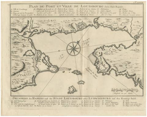
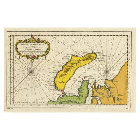
Jacques-Nicolas Bellin (1703 - 1772) was one of the most important cartographers of the 18th century. With a career spanning some 50 years, Bellin is best understood as geographe de cabinet and transitional mapmaker spanning the gap between 18th and early 19th century cartographic styles. His long career as Hydrographer and Ingénieur Hydrographe at the French Dépôt des cartes et plans de la Marine resulted in hundreds of high quality nautical charts of practically everywhere in the world. A true child of the Enlightenment Era, Bellin's work focuses on function and accuracy tending in the process to be less decorative than the earlier 17th and 18th century cartographic work. Unlike many of his contemporaries, Bellin was always careful to cite his references and his scholarly corpus consists of over 1400 articles on geography prepared for Diderot's Encyclopedie. Bellin, despite his extraordinary success, may not have enjoyed his work, which is described as "long, unpleasant, and hard." In addition to numerous maps and charts published during his lifetime, many of Bellin's maps were updated (or not) and published posthumously.