About this sheet
An important and Highly Decorative Blaeu Caribbean Map, West Indies, Antique Atlas Chart, c1642
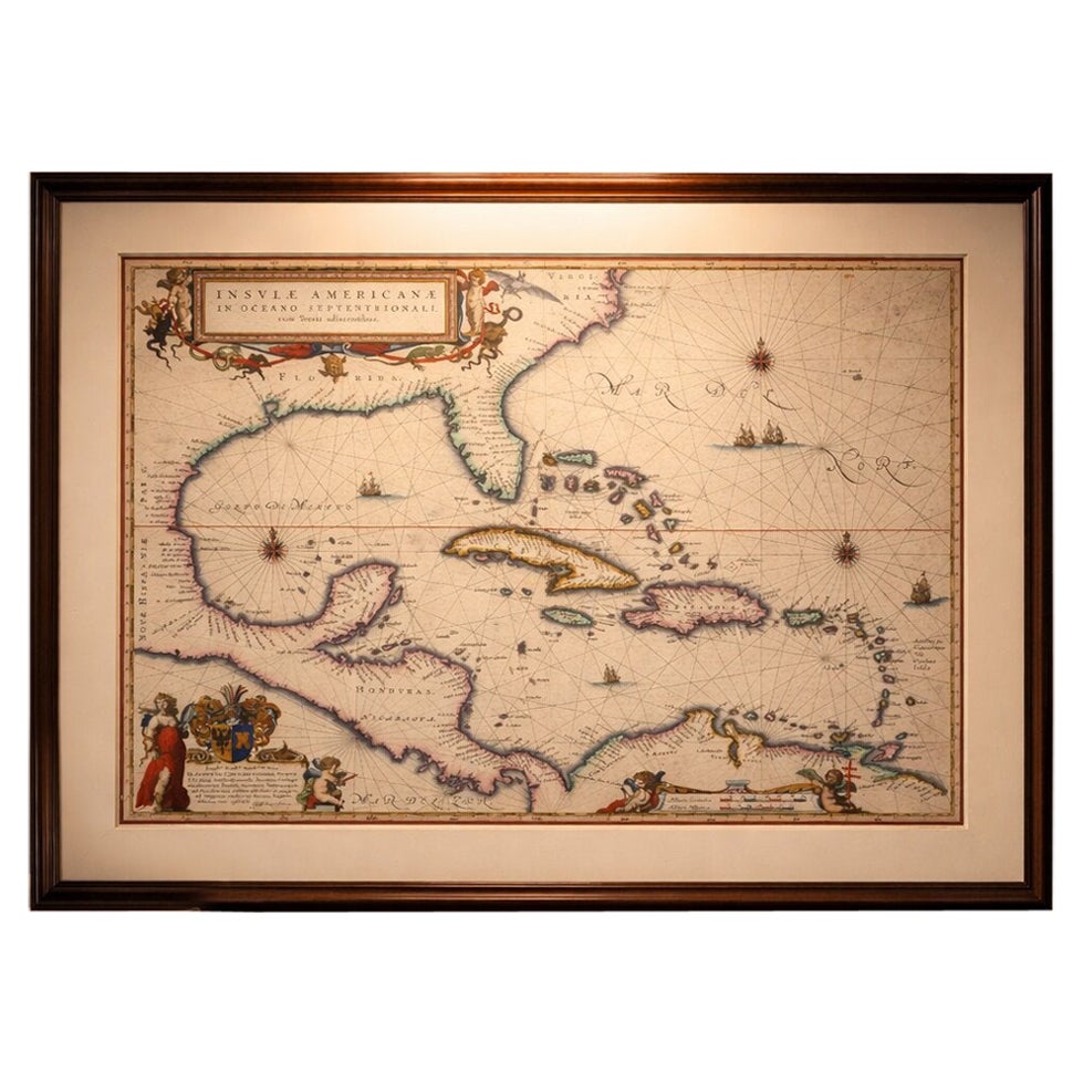
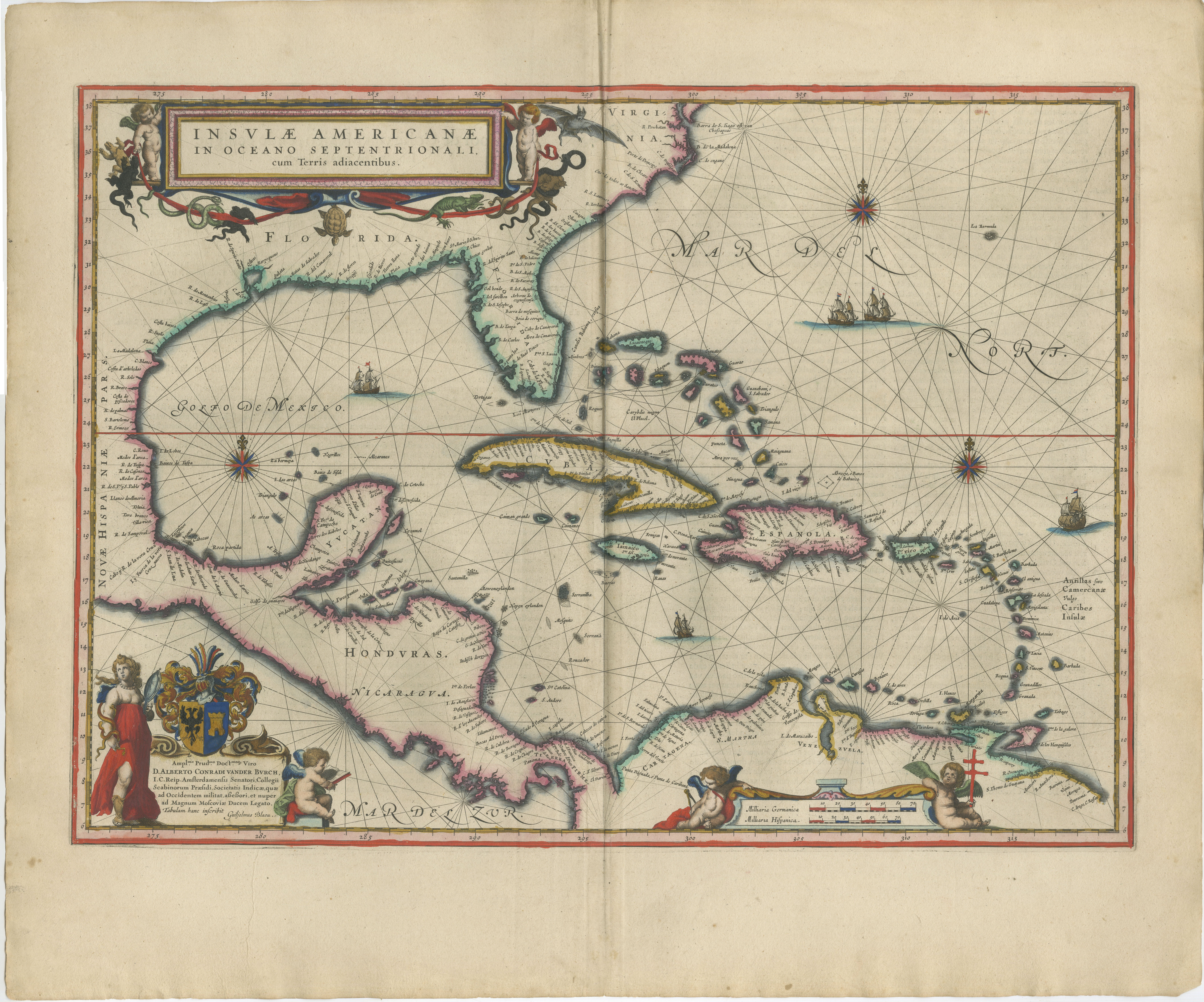
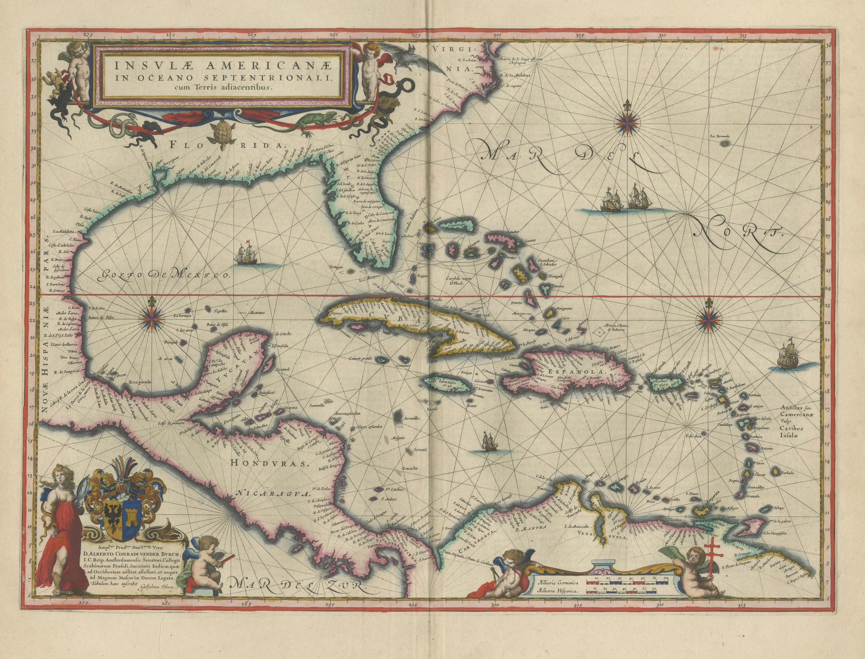
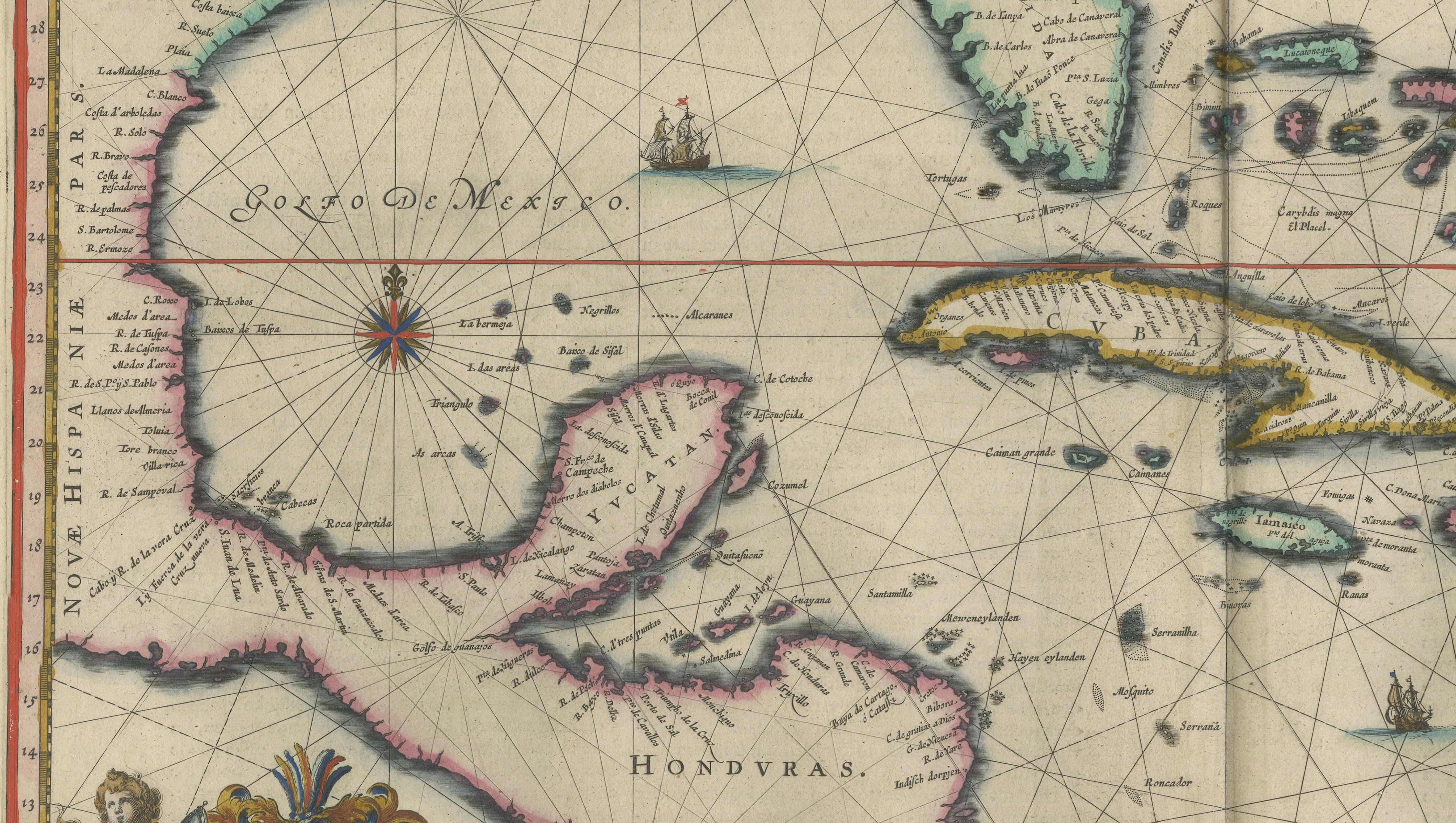
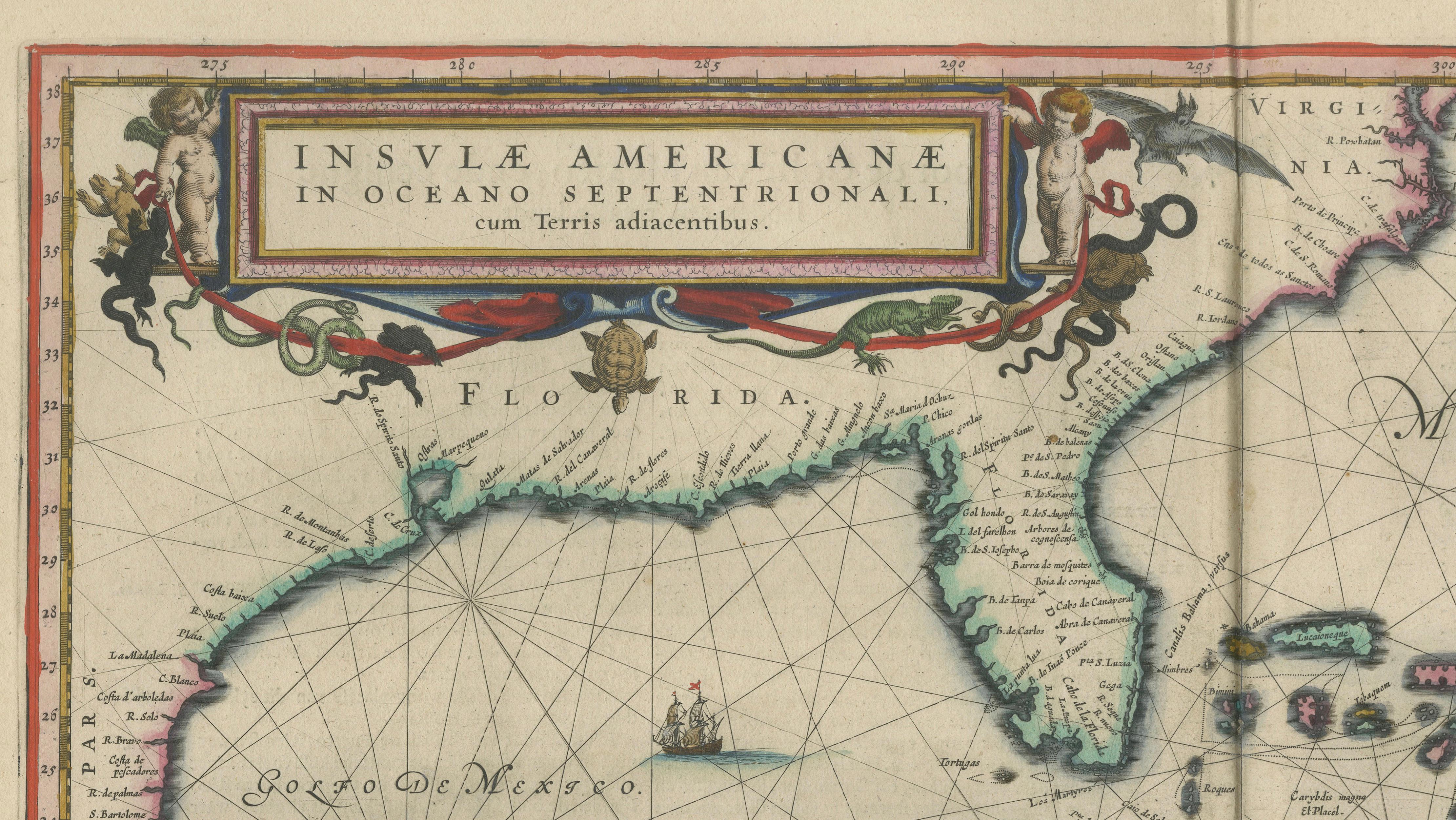
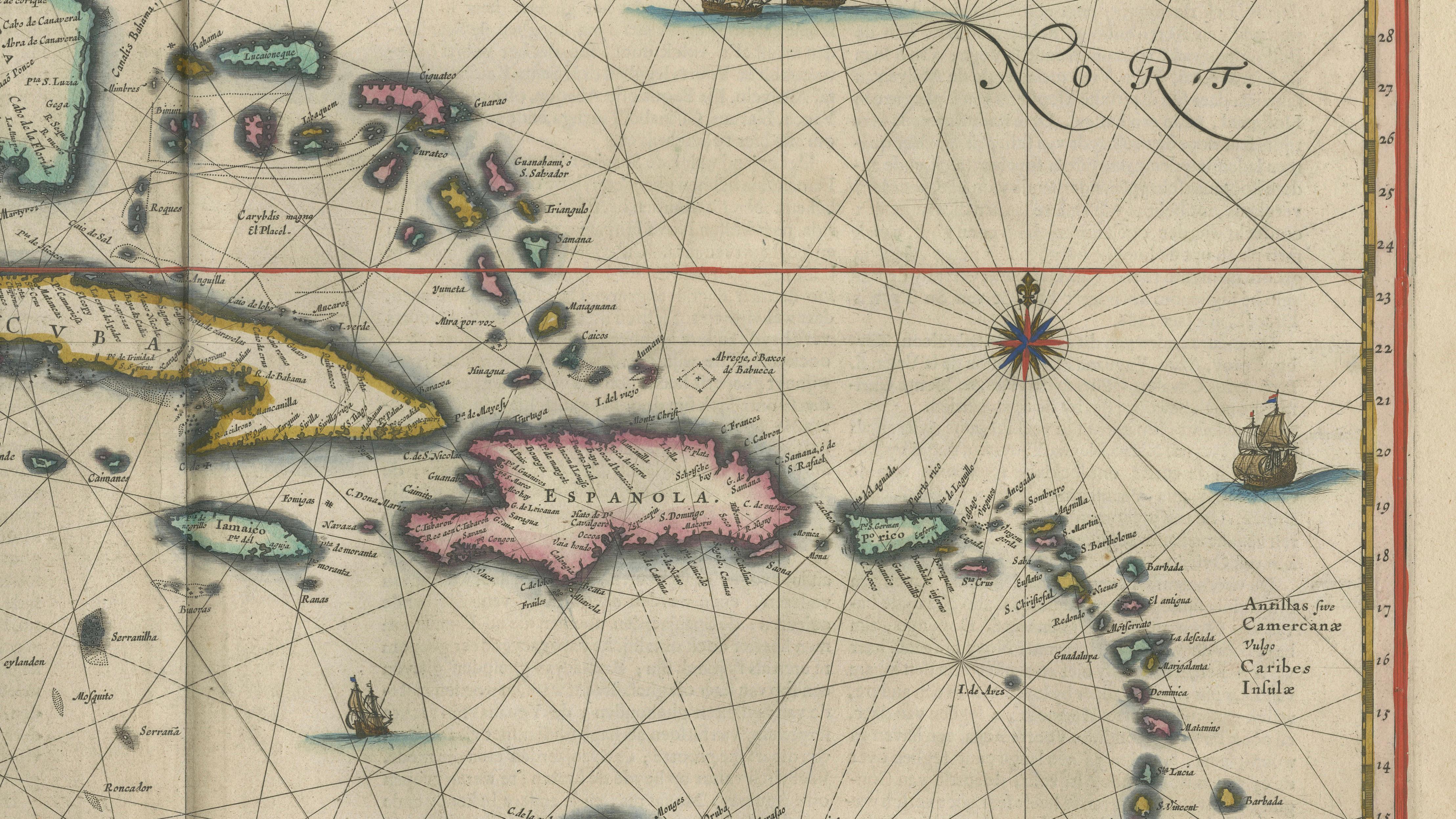
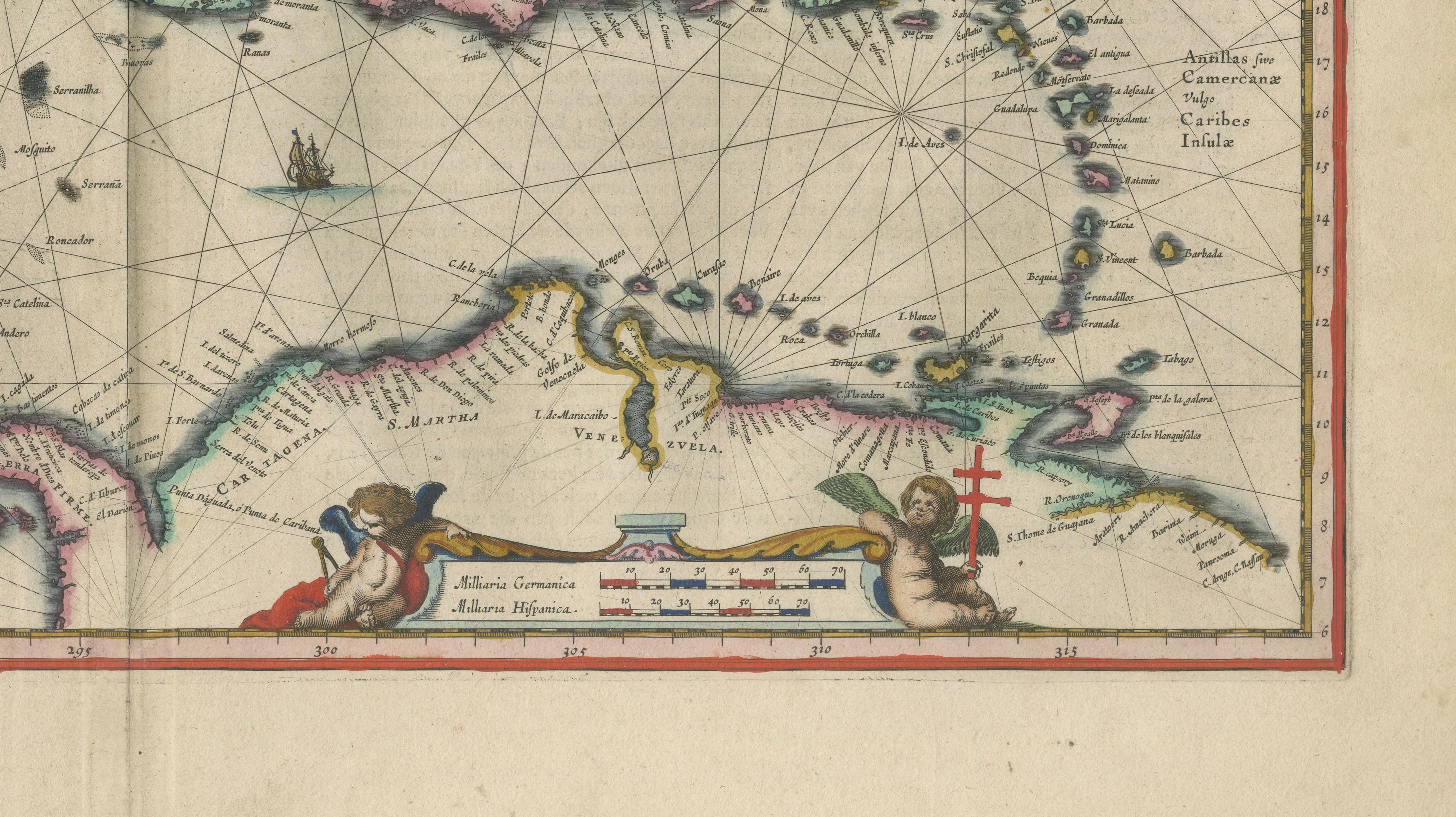
An exceptional and highly decorative map of the Caribbean, titled Insulae Americanae in Oceano Septentrionali, engraved by Willem Janszoon Blaeu and published in Amsterdam circa 1642. Widely regarded as one of the most elegant early maps of the West Indies, this composition represents the height of Dutch Golden Age cartography.
The map presents the Caribbean basin in a refined and balanced layout, extending from Florida and the Gulf of Mexico to the northern coasts of South America. Major islands including Cuba, Hispaniola, and Jamaica are prominently depicted, alongside the Lesser Antilles, all rendered with clarity and precision. The surrounding seas are richly structured with rhumb lines, compass roses, and sailing vessels, emphasizing the region’s central role in early transatlantic navigation and trade.
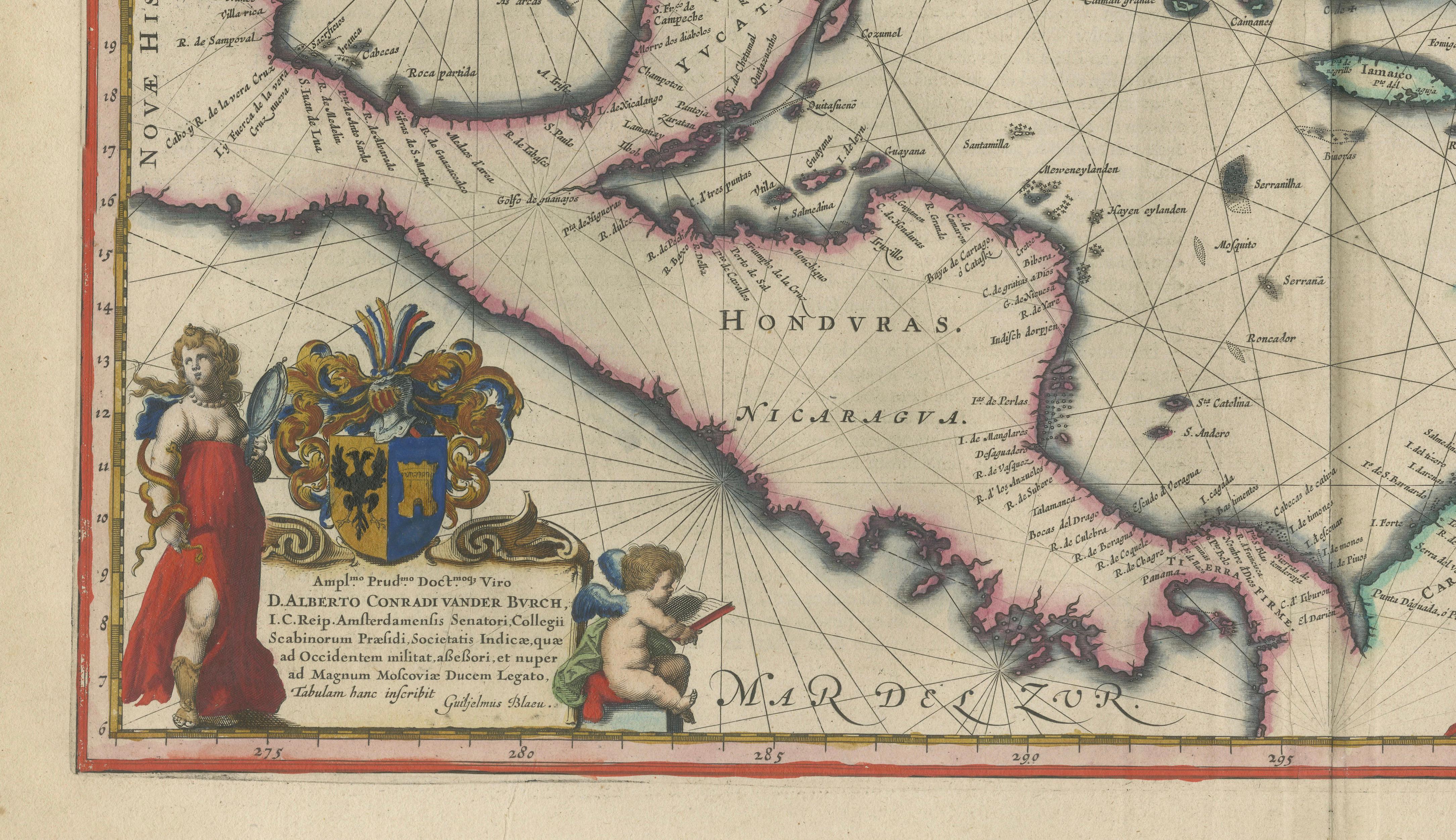
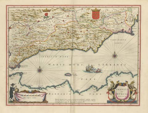
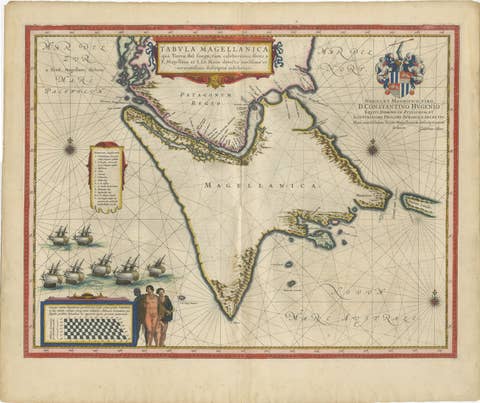
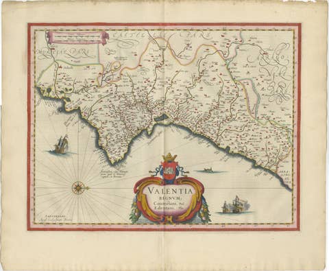
Blaeu’s engraving is distinguished by its artistic sophistication. A richly ornamented cartouche anchors the composition, complemented by finely executed decorative elements and harmonious hand coloring that enhances both readability and visual depth. The result is a map that functions equally as a scientific document and as a highly decorative work of art.
As one of the most sought-after Caribbean maps of the 17th century, this example holds strong appeal for collectors of early Atlantic cartography, colonial history, and Dutch atlas maps. Its scale, clarity, and aesthetic refinement make it particularly well suited for high-end interior display.
Condition report:
Very good condition with fine original hand coloring. Central fold as issued. Light, even toning consistent with age. Plate mark visible. A strong and well-preserved impression with excellent presentation.
Framing tips:
Superb in a museum-style presentation with a wide ivory mat and dark walnut or ebonized frame. The balanced composition and rich color make it an ideal focal piece, either as a standalone work or paired with complementary Atlantic maps.
Technique: Copperplate engraving
Maker: Willem Janszoon Blaeu, Amsterdam, c.1642
Keywords: Caribbean map, West Indies map, Insulae Americanae, Blaeu Caribbean, Willem Blaeu map, Dutch Golden Age map, 17th century map, antique sea chart, Caribbean sea chart, early America map, colonial Caribbean, Gulf of Mexico map, Florida map, Cuba map, Hispaniola map, Jamaica map, Bahamas map, Lesser Antilles map, Greater Antilles, Virgin Islands map, Puerto Rico map, New Spain map, Central America map, Honduras Nicaragua map, maritime navigation map, rhumb lines map, compass rose map, decorative cartouche map, atlas Blaeu, Blaeu atlas map, Amsterdam cartography, 1600s map, hand colored map, original antique map, collector map Caribbean, investment grade map, museum quality map, wall art antique map, luxury interior wall art, coastal interior artwork, yacht decor map, Miami beach house art, tropical wall decor, historical ocean map, exploration era map, Spanish Main map, Atlantic trade routes map