About this sheet
Barbary Coast North Africa Map, Morocco Algeria Tunisia Libya, Lapie 1838
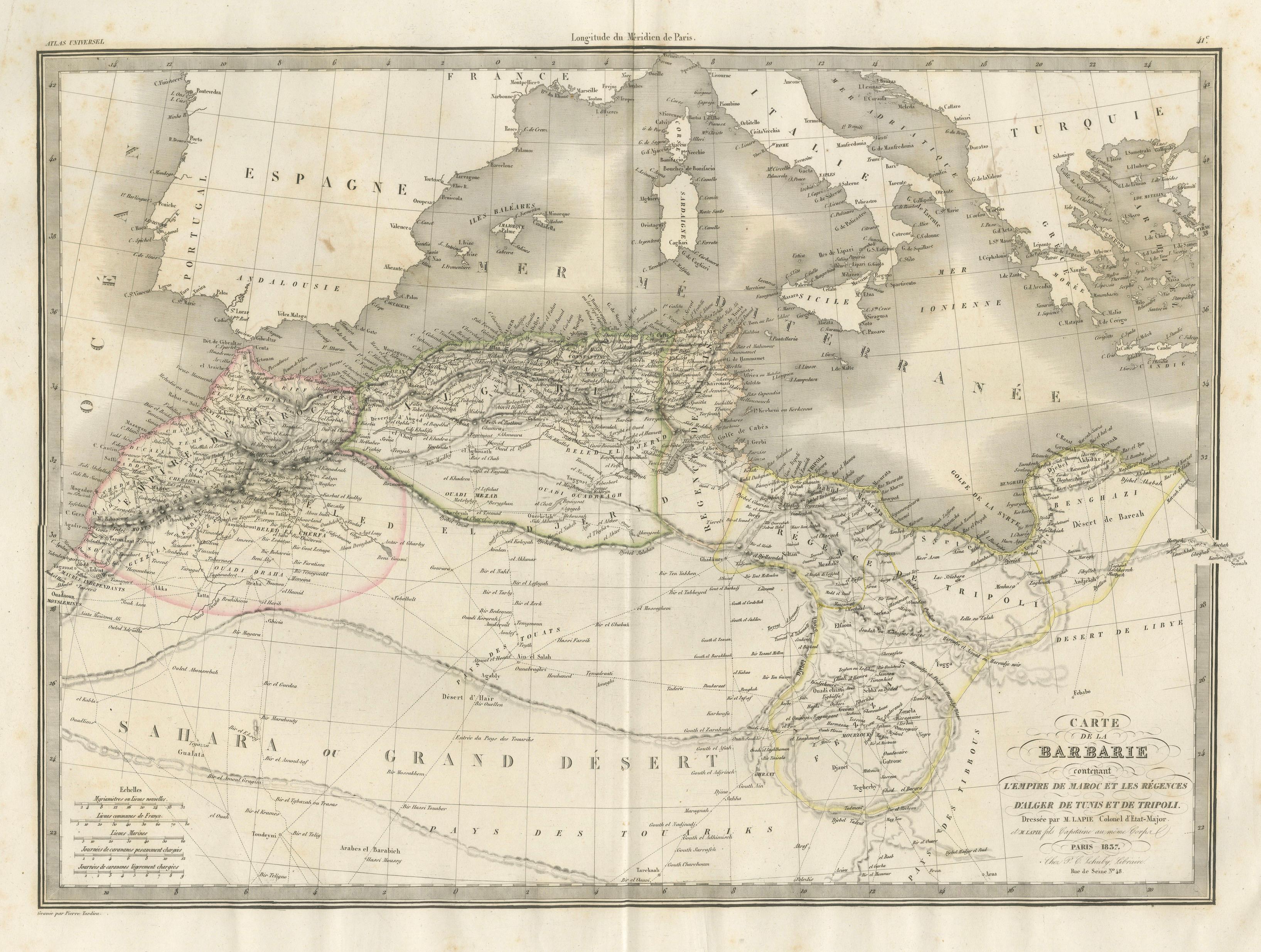
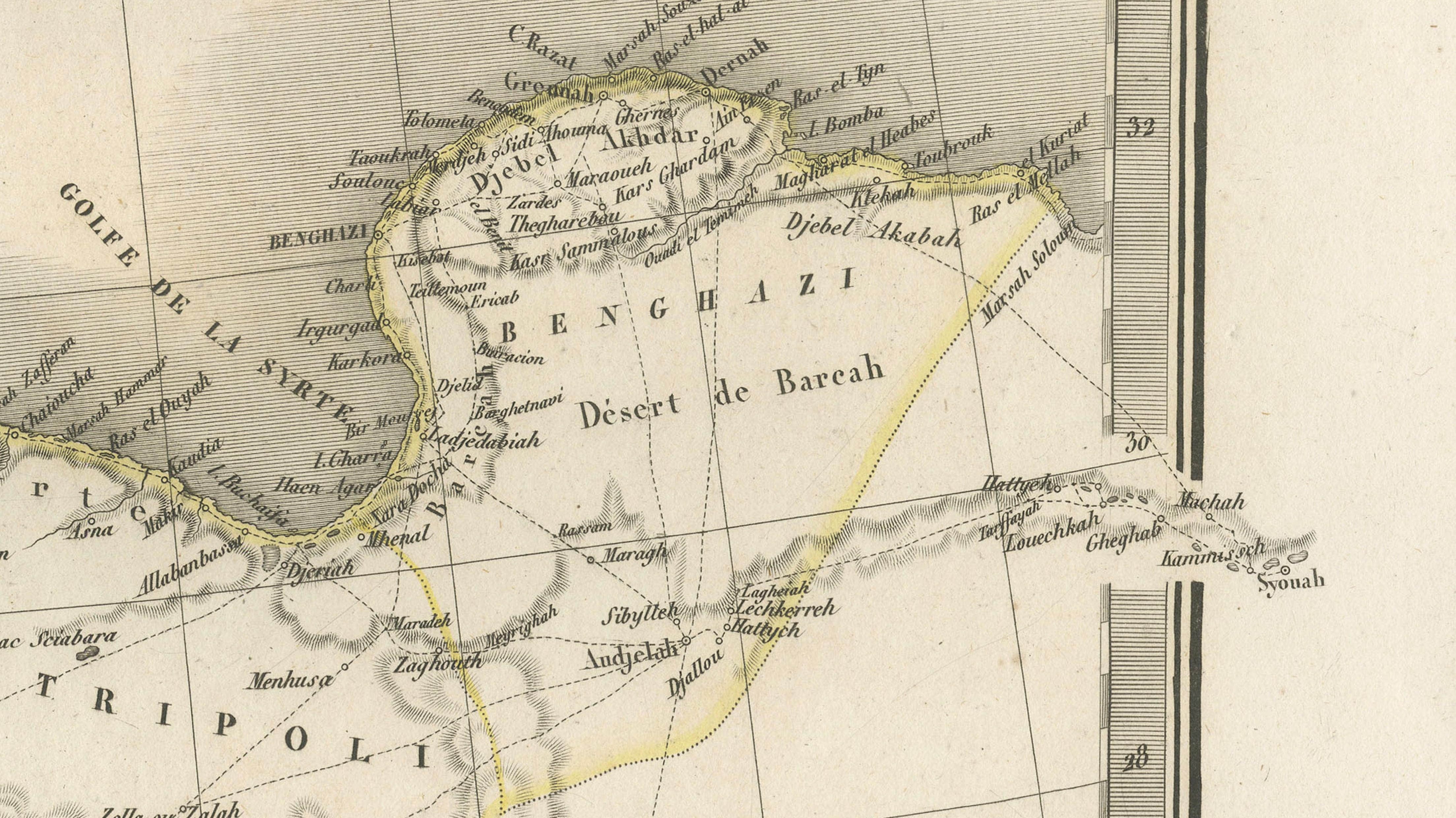
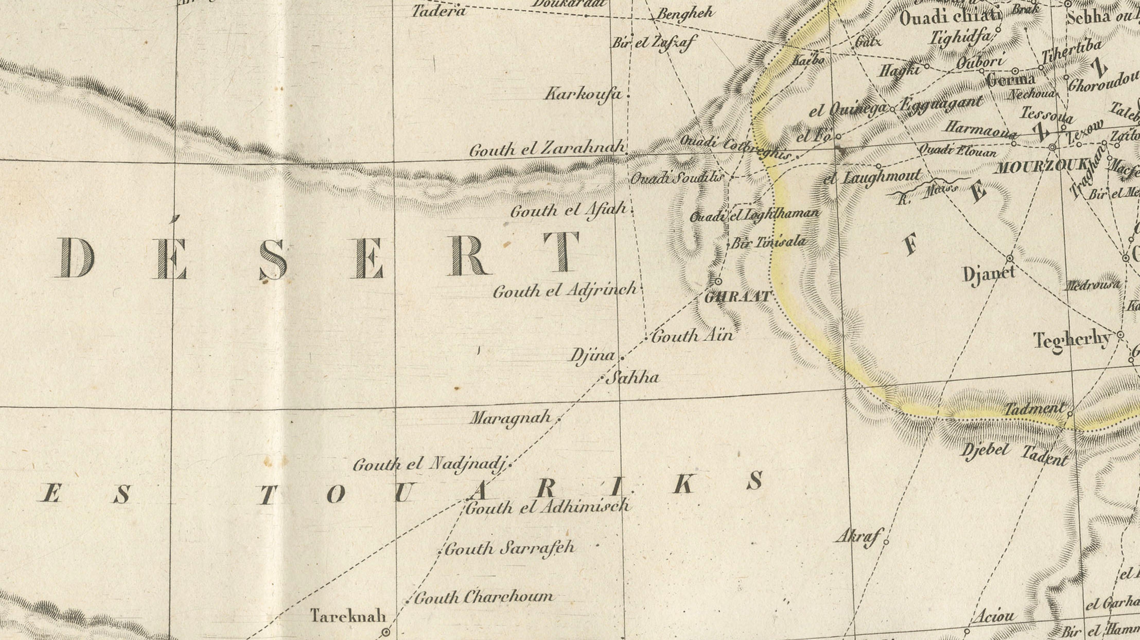
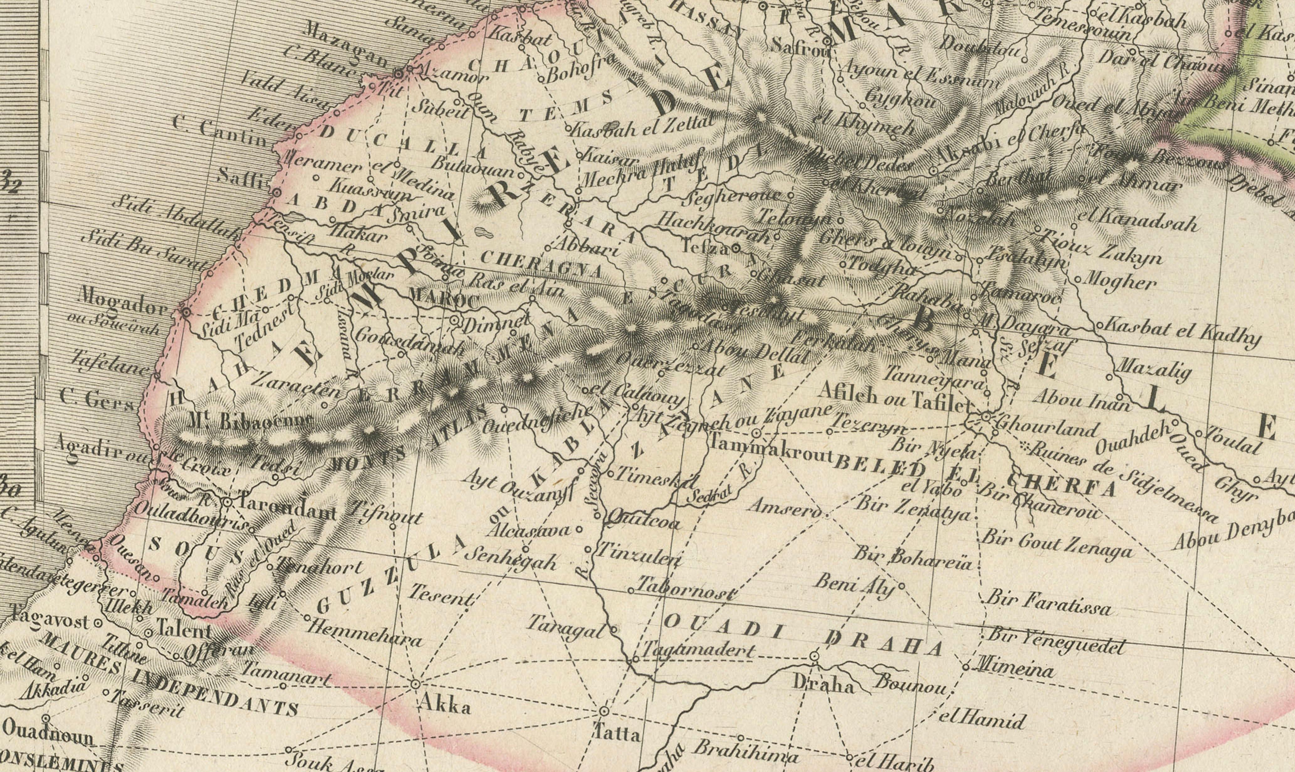
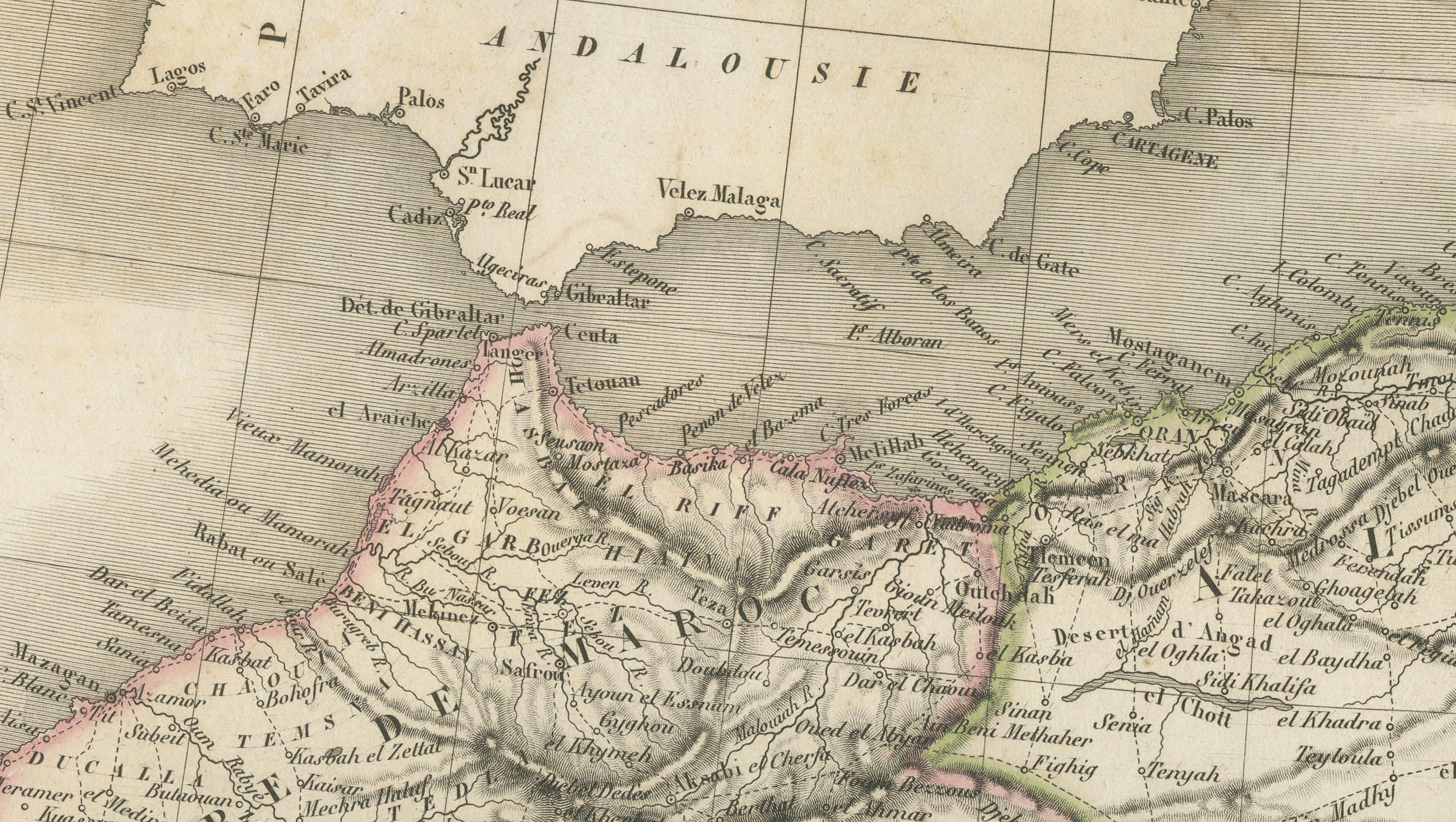
A finely detailed and visually striking 19th-century French map depicting the Barbary Coast of North Africa, encompassing Morocco, Algeria, Tunisia, and Libya, extending from the Atlantic shores to Tripoli and the fringes of the Sahara. This elegant engraving was published in Paris in 1838 as part of the renowned Atlas Universel de Géographie Ancienne et Moderne by the distinguished French cartographer M. Lapie.
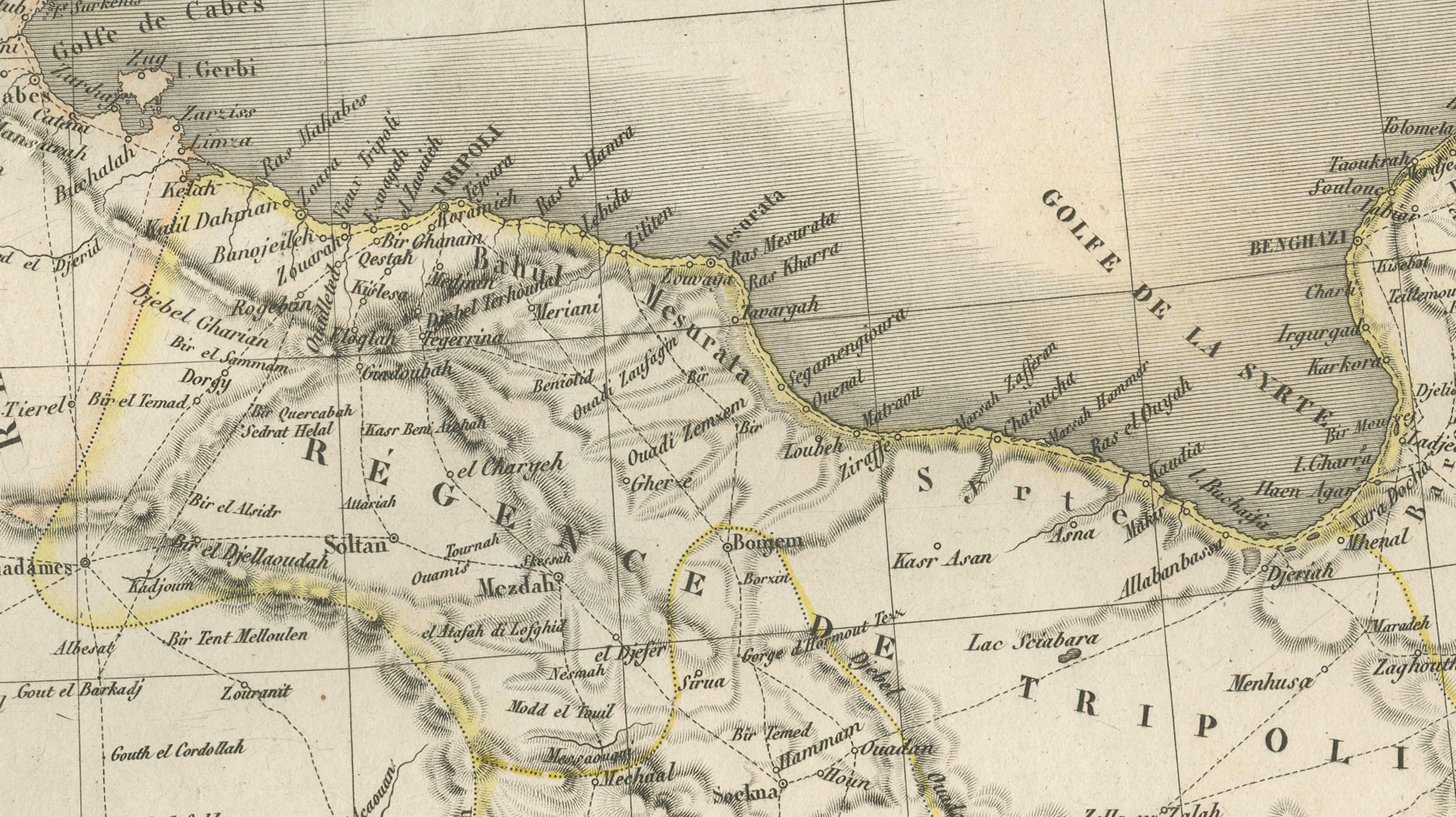
The map presents a comprehensive view of the North African littoral, historically known as the Barbary States, during a period of growing European interest in the region. Coastal cities such as Tangier, Algiers, Tunis, and Tripoli are clearly identified, alongside numerous inland settlements, caravan routes, and tribal territories that illustrate the complex geographic and cultural landscape of the Maghreb. The Mediterranean coastline is rendered with precision, while the vast interior transitions into the Sahara, marked with trade routes and desert regions that hint at trans-Saharan connections.
Lapie’s cartographic style is both refined and highly legible. Mountain ranges, including the Atlas Mountains, are depicted using delicate hachuring, providing a subtle yet effective sense of relief across the terrain. Rivers, roads, and regional boundaries are carefully delineated, enhanced by original hand coloring that distinguishes political or geographic divisions without overwhelming the engraved detail. The balance between scientific clarity and decorative elegance is characteristic of high-quality French atlas production in the early 19th century.
The engraving was executed by Pierre Antoine Tardieu, a member of the celebrated Tardieu family of engravers, known for their precision and contributions to scientific and cartographic works. His crisp and meticulous linework ensures exceptional readability across the densely annotated map, from coastal ports to remote inland regions.
This map is particularly appealing for collectors interested in North African history, early European mapping of the Maghreb, and the geopolitical landscape prior to the full expansion of colonial influence later in the 19th century. It also offers strong decorative appeal, with its elongated horizontal format making it ideal for placement above a desk, console, or sofa in a study or travel-inspired interior.
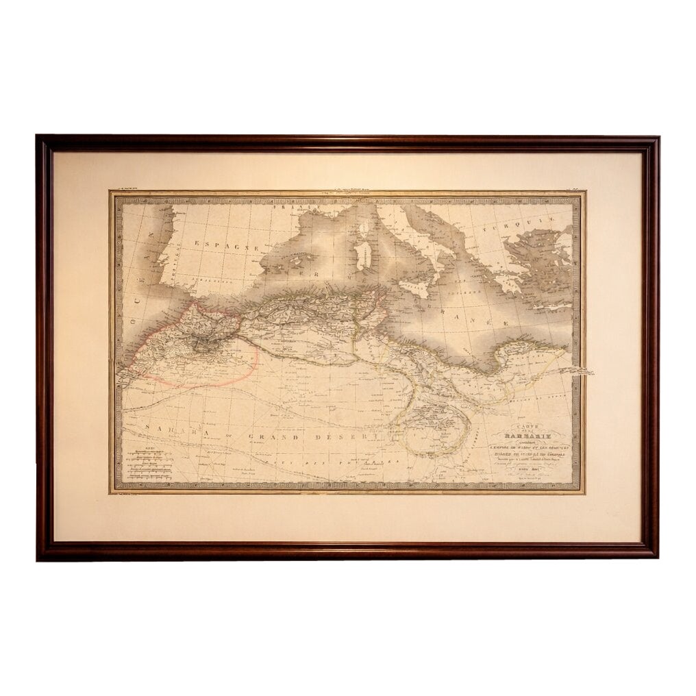
NOTE: The interior mockups are for visual inspiration only and might not always represent the exact scale. The engravings itself are original antiques and NOT reproductions.
Framing tips: This map displays beautifully in a horizontal format with a wide ivory or warm off-white mat and a thin dark walnut or ebonized frame. Its elongated composition makes it especially suitable for placement above furniture such as a console or sofa. A museum-style presentation enhances both its decorative impact and historical refinement.