About this sheet
Antique Map Mangareva Gambier Islands Tuamotu Polynesia 1838 French Chart
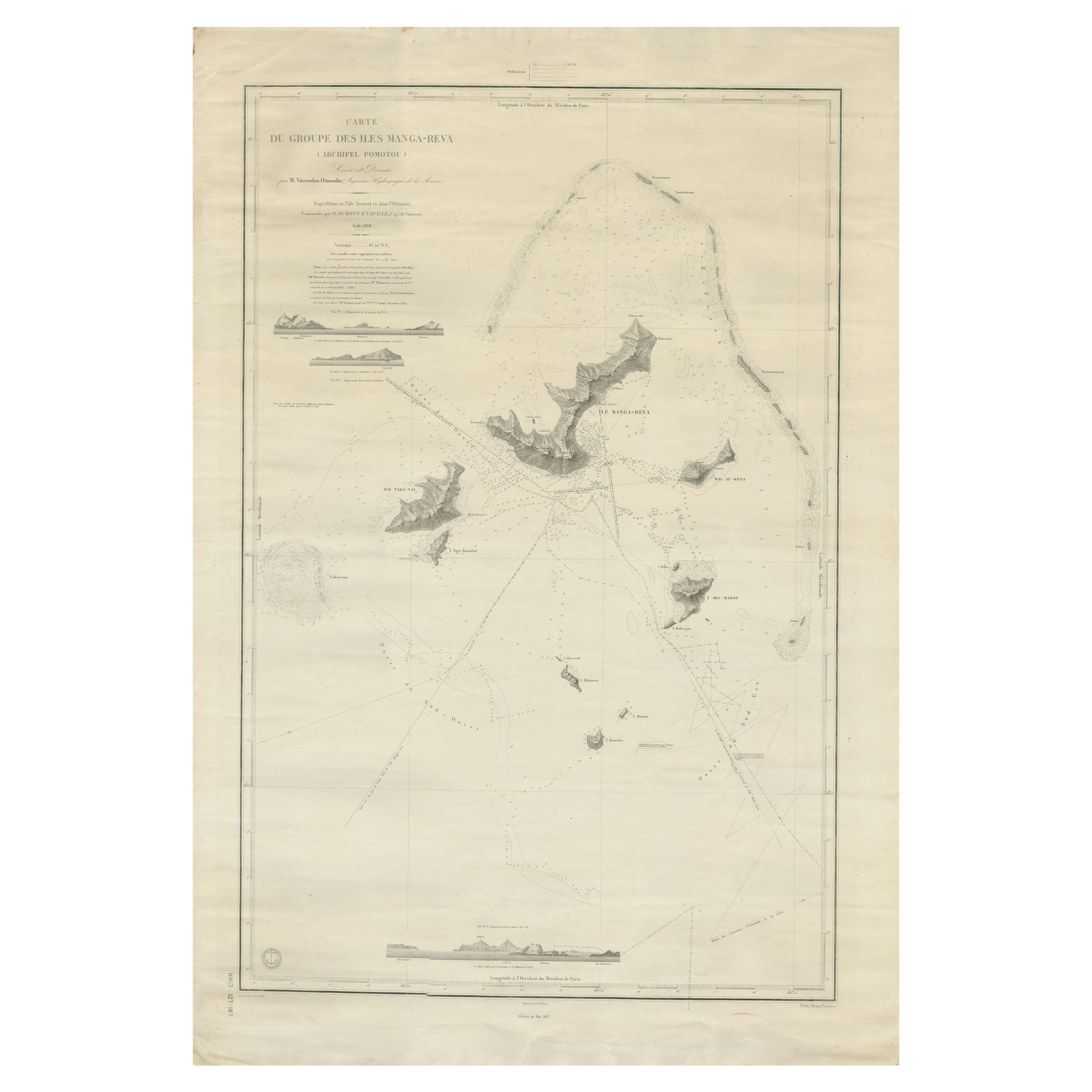

A rare and highly detailed French hydrographic chart of the Mangareva (Gambier) Islands, published in 1838, depicting one of the most remote and historically significant island groups in the South Pacific. This refined engraving, titled Carte du Groupe des Iles Manga-Reva (Archipel Pomotou), captures the southeastern extent of the Tuamotu Archipelago with remarkable precision and scientific clarity, reflecting early 19th-century European exploration and naval surveying.
Centered on Mangareva—the principal island of the Gambier group—the map meticulously delineates the surrounding volcanic islands of Taravai, Akamaru, and Aukena, set within a broad lagoon encircled by coral reefs. The chart is rich in navigational detail, including soundings, sailing routes, reef formations, and coastal profiles, demonstrating its function as both a scientific document and a practical maritime tool. The inclusion of coastal elevation views and inset horizon profiles further underscores its origin in naval expeditions and hydrographic surveying.
Produced during a period of intensified French presence in the Pacific, this map reflects the growing strategic and scientific interest in Polynesia following earlier voyages of exploration. The Gambier Islands would later become an important missionary and colonial foothold, adding further historical relevance to this already scarce chart.
Visually, the engraving possesses a refined and understated elegance, with delicate linework and balanced composition typical of French cartographic production of the period. The large format and open sea space give the map a striking, minimalist aesthetic, making it particularly suitable for contemporary interiors—especially coastal homes, yacht settings, or refined travel-inspired collections.
This is an original antique engraving, not a reproduction. All items we offer are authentic period works of art over 100 years old. The map is sold unframed; any framed images are shown for presentation and interior inspiration only and may not always be to scale.
Condition:
Good condition for its age. Light overall toning with some faint age-related spotting, primarily in the margins. Edges show minor wear consistent with handling. Plate mark visible. Overall a clean and attractive example.
Framing tips:
This map benefits from a wide ivory or soft off-white mat to emphasize its generous margins and delicate engraving. A thin black, dark walnut, or brushed silver frame works well depending on the interior—silver enhances its nautical, exploratory character, while darker frames create a more dramatic collector’s presentation.
Keywords:
Mangareva, Gambier Islands, Tuamotu Archipelago, Paumotu, French Polynesia, South Pacific, Polynesia map, Pacific exploration, 19th century map, 1838 chart, French hydrographic chart, nautical chart, coral reef map, volcanic islands, Taravai, Akamaru, Aukena, Pacific navigation, ocean chart, maritime history, colonial Pacific, missionary history Polynesia, island cartography, antique ocean map, large wall map, decorative nautical print, rare Pacific map, Polynesian islands map
Technique: engraving
Maker: French Hydrographic Office, France, 1838