About this sheet
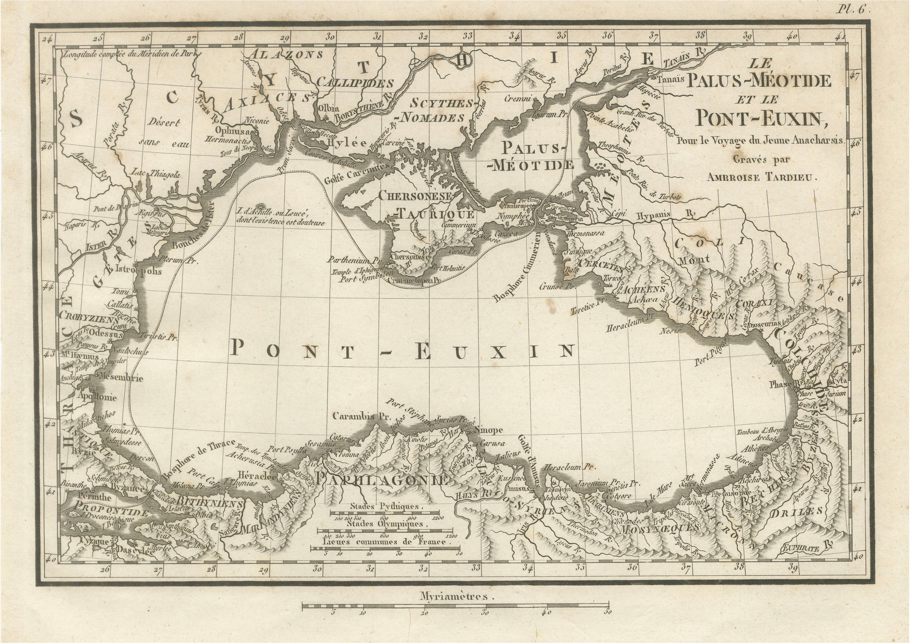
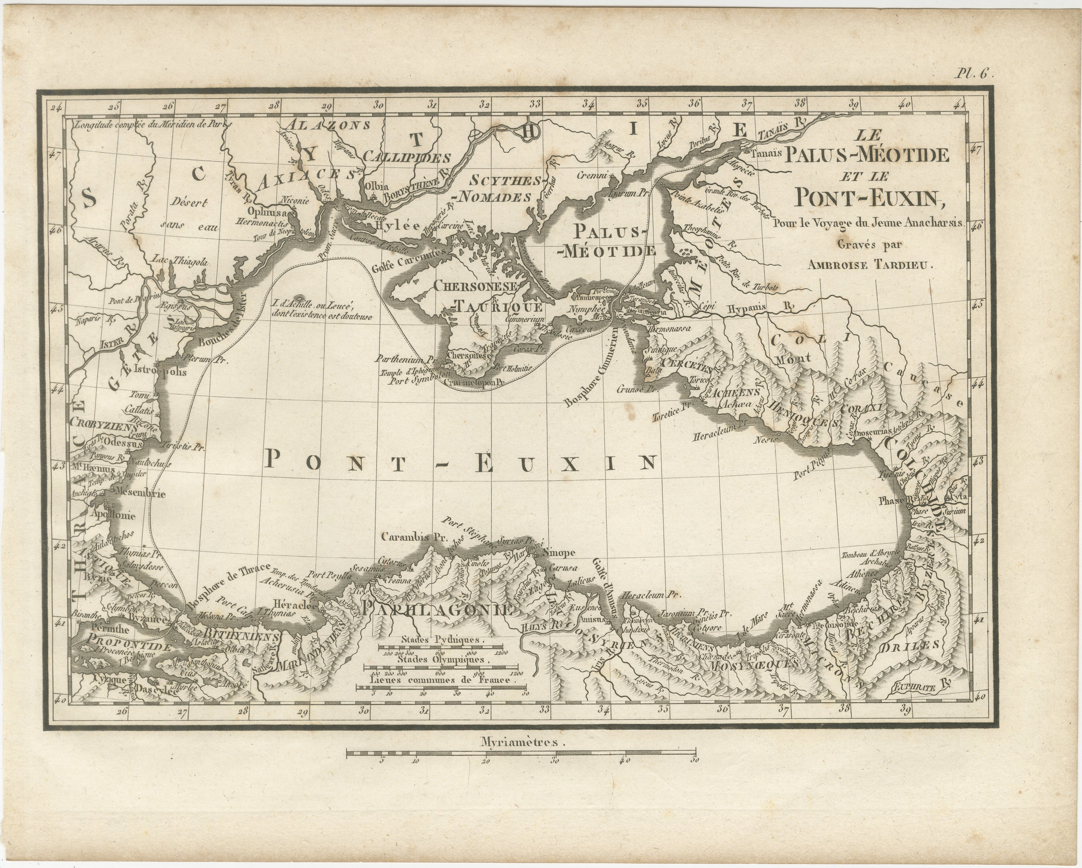
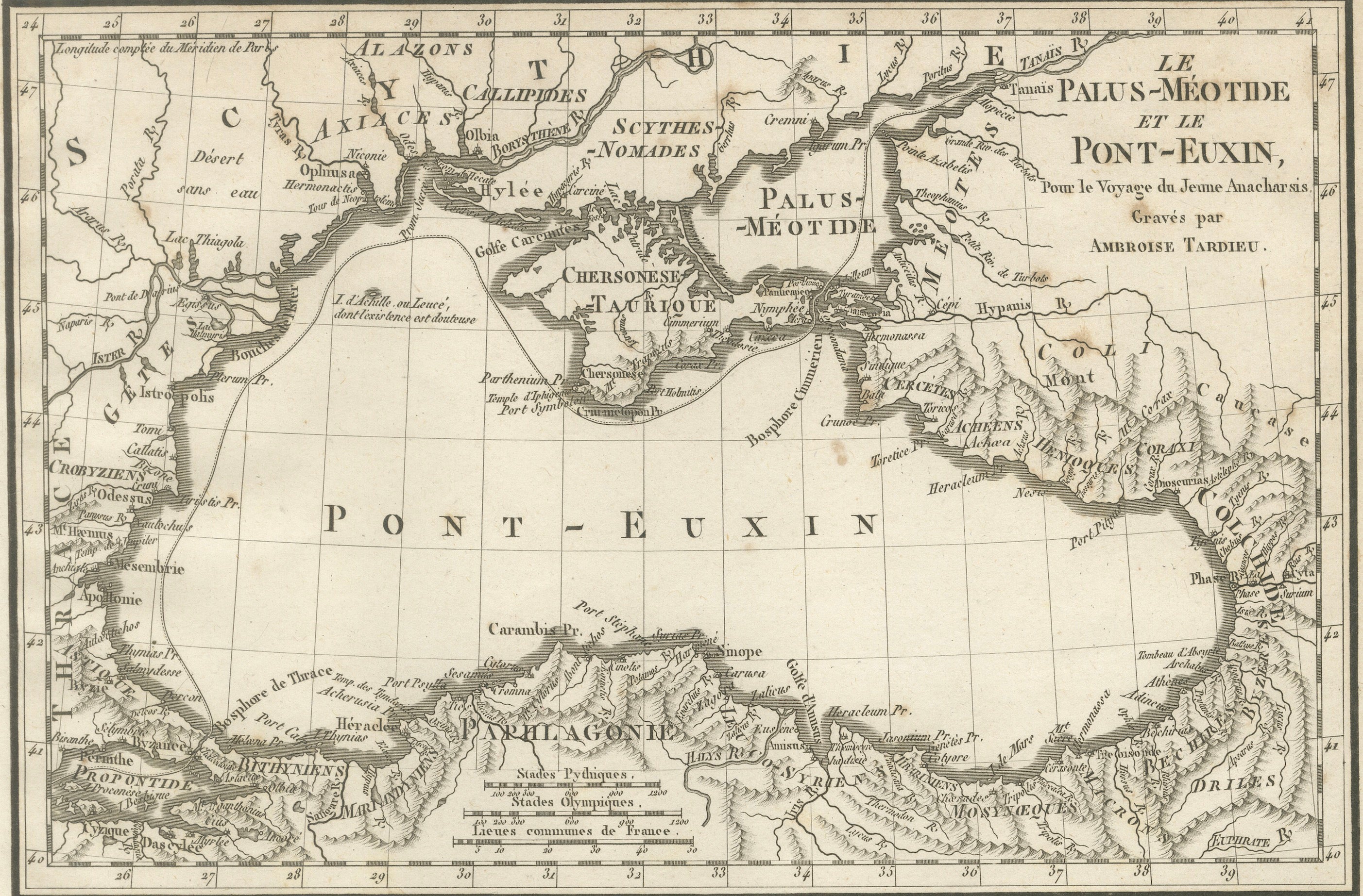
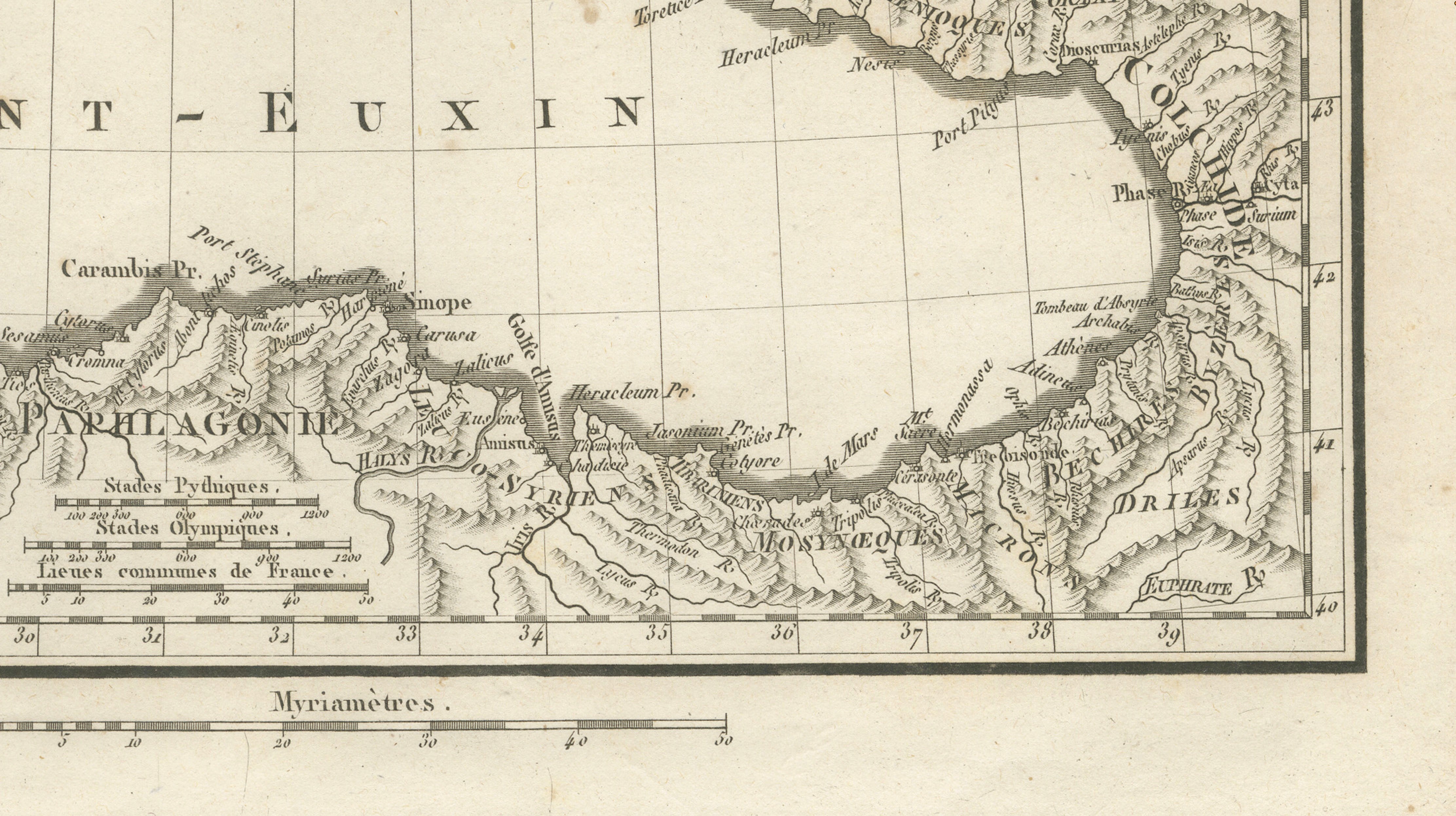
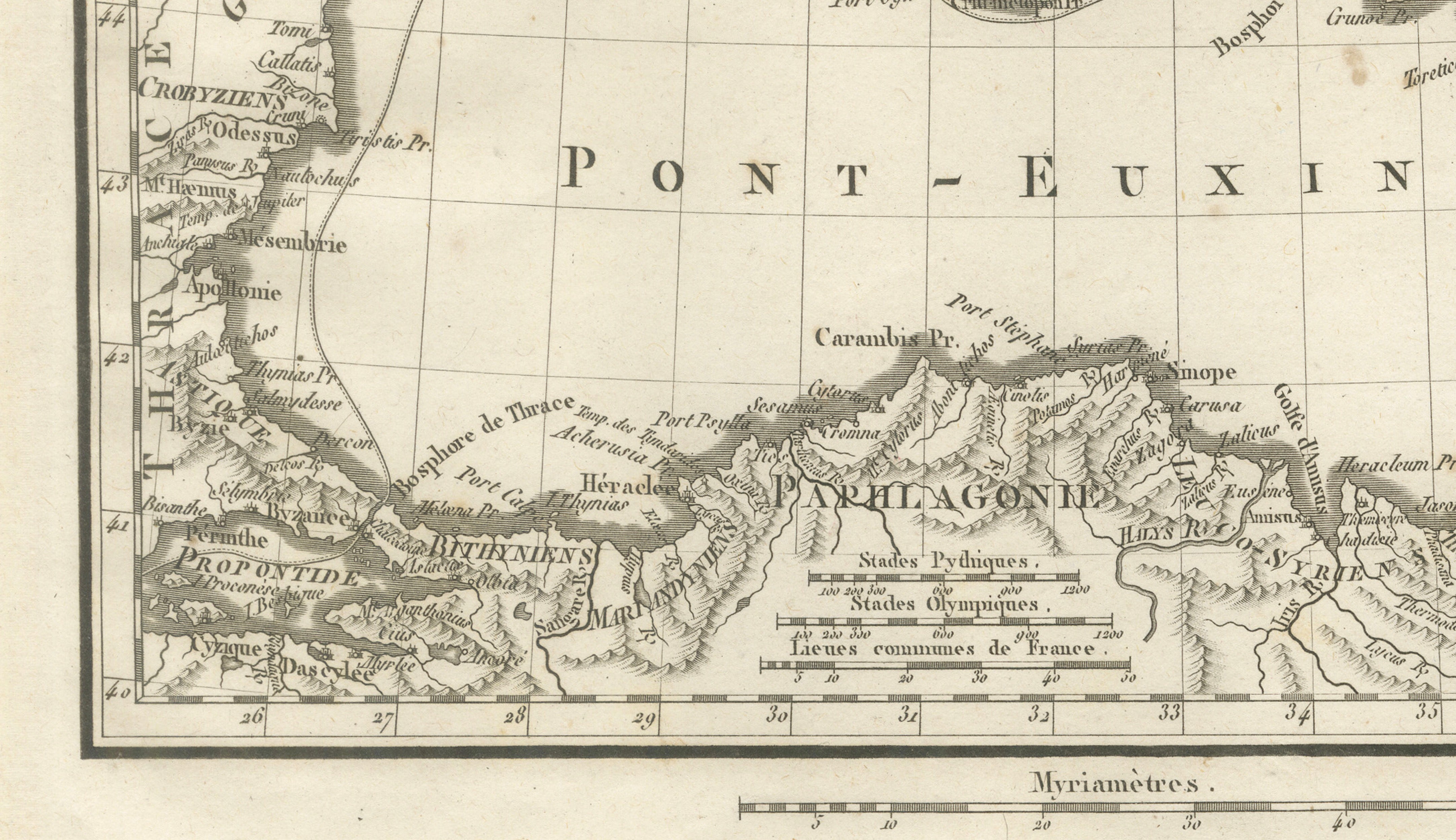
Original antique engraved map of the Black Sea and Sea of Azov, titled “Le Palus-Méotide et le Pont-Euxin,” engraved by Ambroise Tardieu for the atlas accompanying Jean-Jacques Barthélemy’s Voyage du jeune Anacharsis en Grèce.
The map presents the Black Sea as it was understood in the context of the ancient Greek world. It extends from the lower Danube and western Black Sea coast across the Crimean Peninsula and Sea of Azov to Colchis and the Caucasus, with the northern coast of Asia Minor shown in considerable detail.
Ancient regions and peoples are identified throughout, including Scythia, Sarmatia, Colchis, Paphlagonia, Bithynia and the Tauric Chersonese. Numerous ancient settlements, rivers, ports and geographical features are marked, making this an especially interesting map for collectors of classical history and the ancient Greek colonies around the Black Sea.
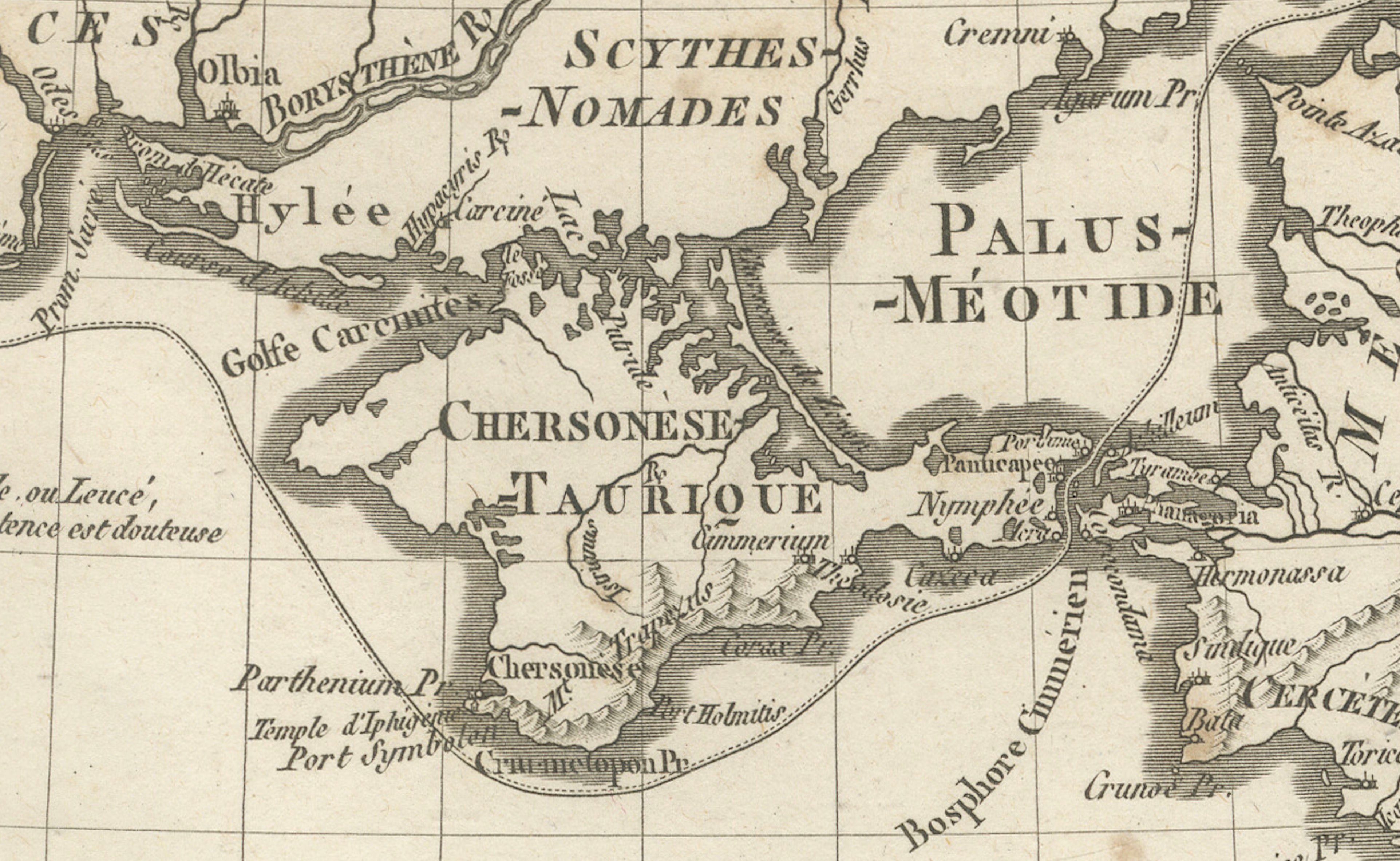
The Black Sea is prominently identified by its ancient name “Pont-Euxin,” while the Sea of Azov appears as the “Palus-Méotide.” The Crimean Peninsula, here identified as the Chersonèse Taurique, forms a particularly detailed focal point of the composition.
Engraved by Ambroise Tardieu, one of the notable French cartographers and engravers of the early 19th century.
Creator / Engraver: Ambroise Tardieu
Title: Le Palus-Méotide et le Pont-Euxin
Publication: Paris
Date: 1825
Technique: Engraving on paper
Plate: Pl. 6
Subject: Ancient Black Sea, Sea of Azov, Crimea and Asia Minor
Condition:
Good antique condition with general age toning, scattered foxing and occasional small stains and marks, primarily in the margins. Some wear and irregularity along the sheet edges. The engraved image remains strong, clear and highly detailed. Please study the photographs carefully as they form an important part of the condition description.
Original antique map. Not a modern reproduction.
Sold unframed. Any framed or interior images shown are for presentation and inspiration only.
Keywords: Black Sea Map, Pont Euxin, Pontus Euxinus, Sea of Azov, Palus Maeotis, Crimea Map, Crimean Peninsula, Ancient Greece, Greek Colonies, Scythia, Sarmatia, Colchis, Caucasus, Asia Minor, Anatolia, Chersonese Taurica, Classical Antiquity, Ambroise Tardieu, Antique Map, Historical Cartography, 1825 Map, Ancient World.