maps-prints.com
✦
Black Friday Sale
Friday 20 to Monday 30 November: up to 30% off original antique maps and prints
The terms
- Up to 30% off selected original antique maps and prints. Every piece is an original, printed in its own time; none is a reproduction.
- The sale runs from Friday 20 November to Monday 30 November. Sale prices shown here apply from Friday 20 November; until then pieces are sold at their regular price.
- Free FedEx shipping on qualifying orders placed on our own websites: USA, Canada, UK and Europe over $500 / €450; rest of the world over $750 / €675. Smaller orders pay our normal shipping rate.
- Orders placed from 15 to 30 November ship from 1 December, in time for Christmas. Our shipping partner is InXpress.
- Each piece is unique, so the sale is while stock lasts.
Collection:AllAmericanSea chartsMilitaryNatural historyFashionArchitectureBotanicalSacredEast Indies
Sale prices apply from Friday 20 November. Save the pieces you like with the heart and come back on Friday.
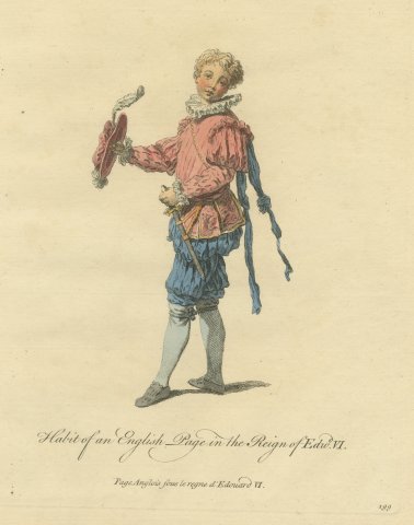 Habit of an English Page in the Reign of Edward VI, Jefferys Costume Plate, 1757
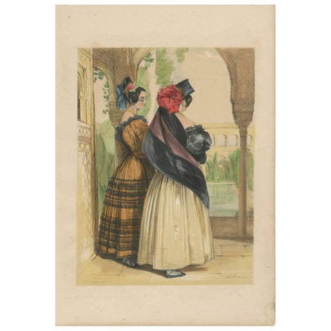 Antique Print of Two Spanish Ladies by J.F. Lewis, 1836
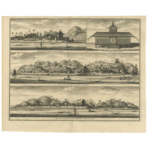 Antique Print of Hila and Fortresses by Valentijn '1726'
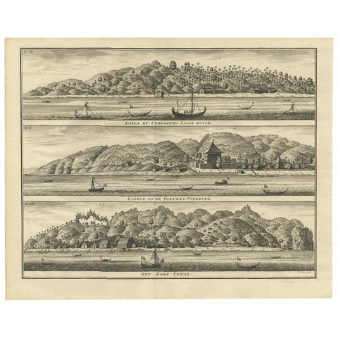 Antique Print with Three Views of Ambon by Valentijn, 1726
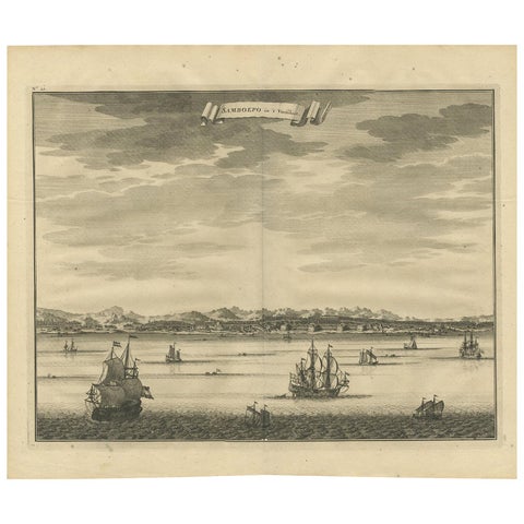 Antique Print of Samboepo by Valentijn, 1726
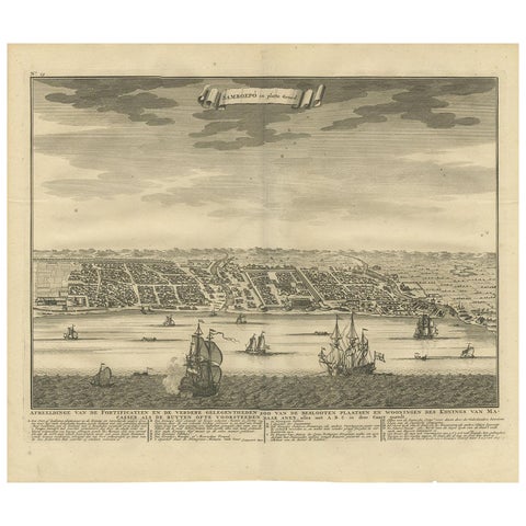 Antique Map of Samboepo by Valentijn, 1726
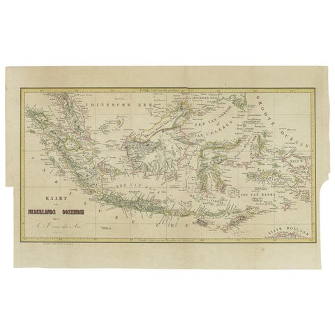 Antique Map of the East Indies by Van der Aa '1849'
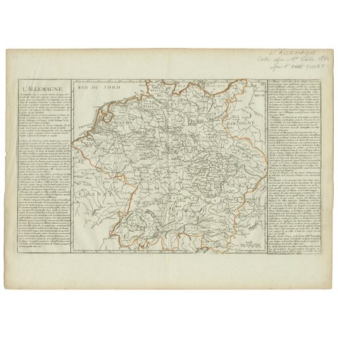 Antique Map of Germany by Clouet, 1787
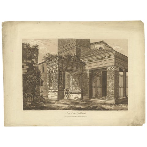 Antique Print of the Arch of the Goldsmith by Abbot, 1820
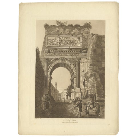 Antique Print of the Arch of Titus by Abbot '1820'
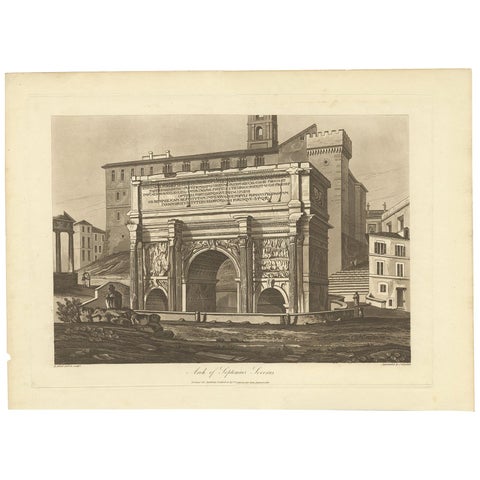 Antique Print of the Arch of Septimius Severus by Abbot '1820'
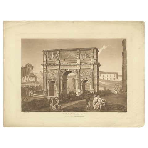 Antique Print of the Arch of Constantine by Abbot, 1820
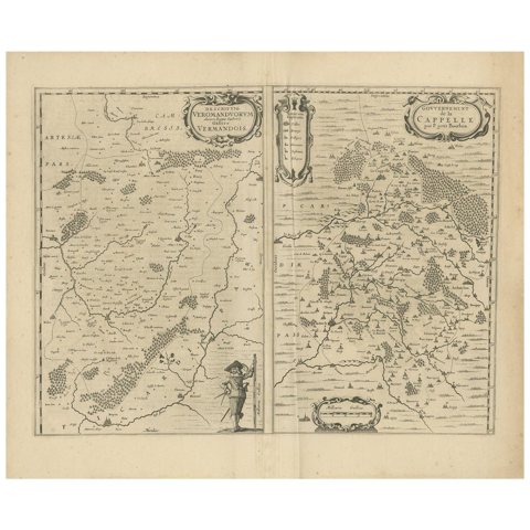 Antique Map of the Region of Vermandois and Cappelle by Janssonius, circa 1650
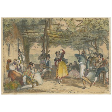 Antique Print of Peasants Dancing the Bolero by Lewis '1836'
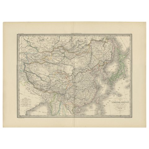 Antique Map of the Chinese Empire and Japan by Lapie, 1842
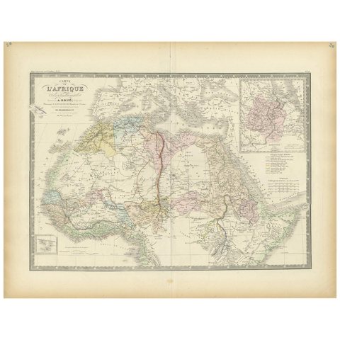 Antique Map of Northern Africa by Levasseur, '1875'
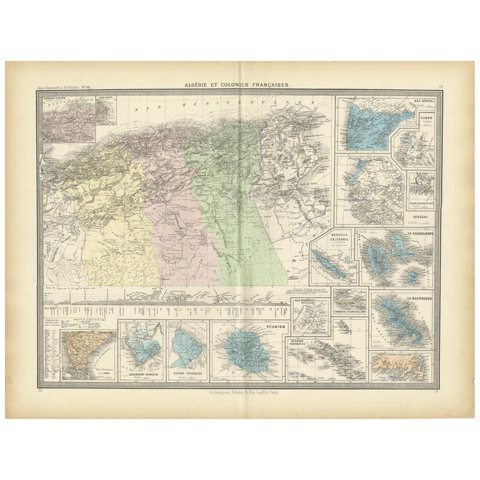 Antique Map of Algeria and the French Colonies, 1875
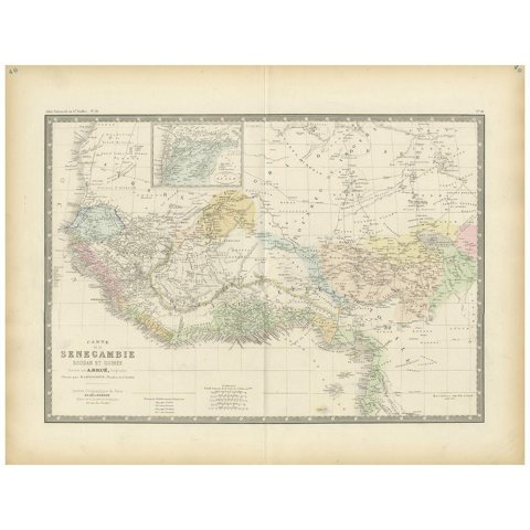 Antique Map of Western Africa by Levasseur '1875'
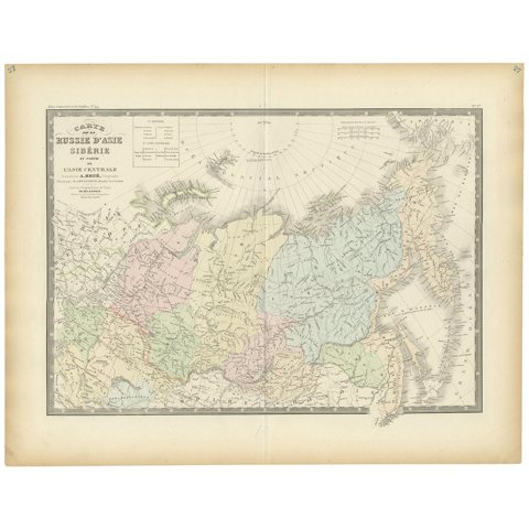 Antique Map of Siberia by Levasseur '1875'
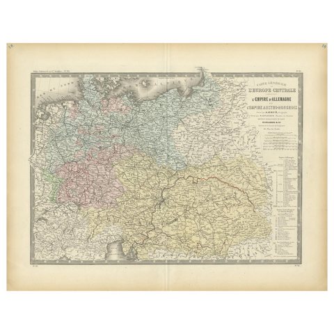 Antique Map of the German Empire by Levasseur, '1875'
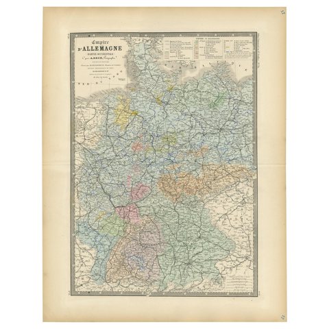 Antique Map of the Western Part of the German Empire by Levasseur, '1875'
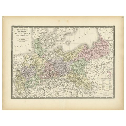 Antique Map of the Prussian Monarchy by Levasseur, '1875'
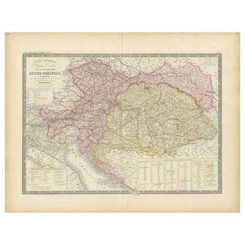 Antique Map of Austria-Hungary by Levasseur, '1875'
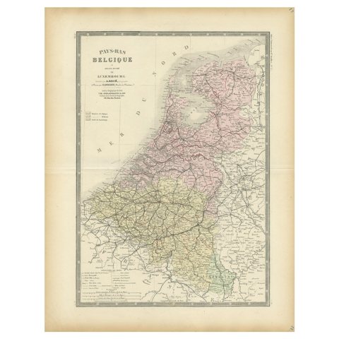 Decorative Antique Map of the Netherlands and Belgium, ca.1875
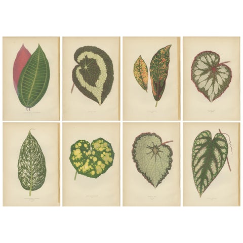 Set of 8 Botany Prints, Begonia Rex, Cissus Discolor '1891'
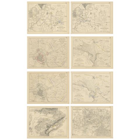 Set of 8 Battle Plans, Rivoli, Arcole, Mantua, Marengo, Hohenlinden, 1852
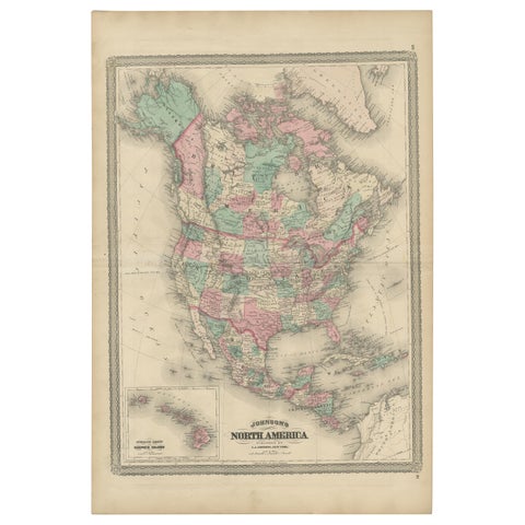 Antique Map of North America by Johnson, '1872'
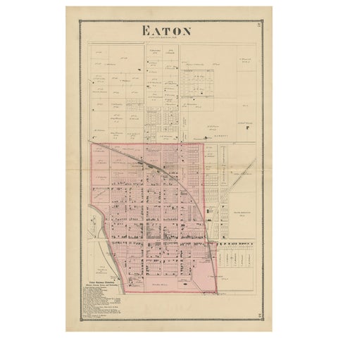 Antique Map of Eaton 'Ohio' by Titus, 1871
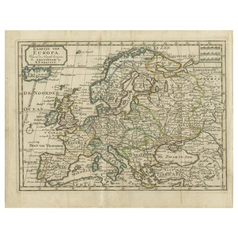 Antique Map of Europe by Keizer & de Lat, 1788
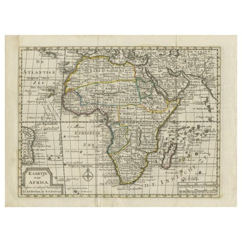 Antique Map of Africa by Keizer & de Lat, 1788
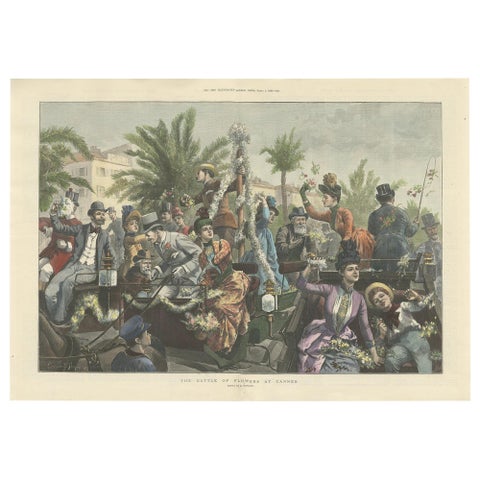 Antique Print of 'The Battle of Flowers' at Cannes by Hopkins, '1889'
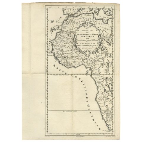 Uncoulored Original Antique Map of Western Africa, 1749
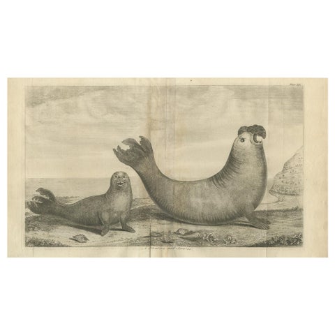 Antique Print of Two Sea Lions on the Shore of Juan Fernandes by Anson, '1749'
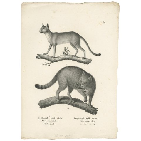 Antique Print of the African and European Wildcat by Schinz, 'c.1830'
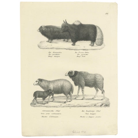 Antique Print of Oxen and Sheep by Schinz, 'c.1830'
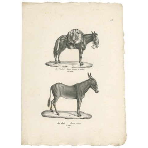 Antique Print of Donkeys by Schinz, c.1830
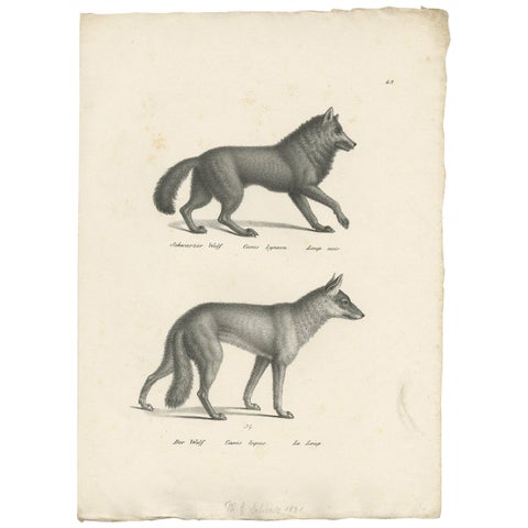 Antique Print of Wolves by Schinz, 'c.1830'
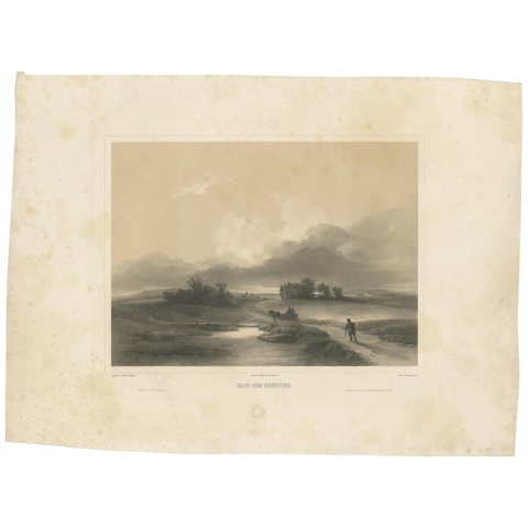 Antique Print of a Landscape after a Thunderstorm by Weixelgartner, 'c.1860'
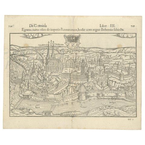 Antique Print with a View of the City of Eger 'Cheb' by Münster '1554'
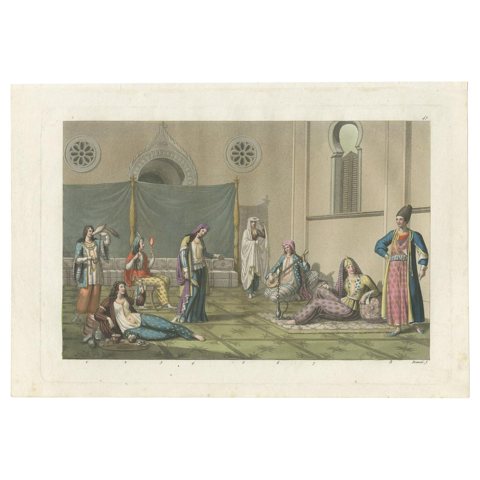 Antique Print of a Persian Harem by Ferrario '1831'
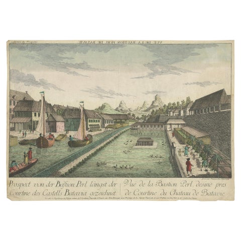 Antique Print of the Pearl Bastion of Castle Batavia by Habermann 'c.1770'
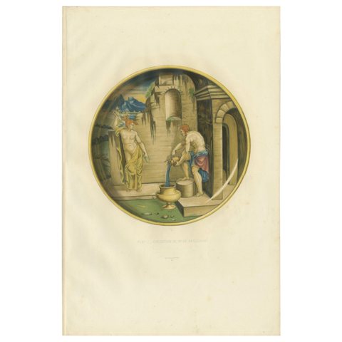 Antique Print of a Plate of Mr. de Basilewski by Delange '1869'
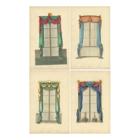 Set of 4 Antique Prints of Windows with Drapery by Sheraton '1805'
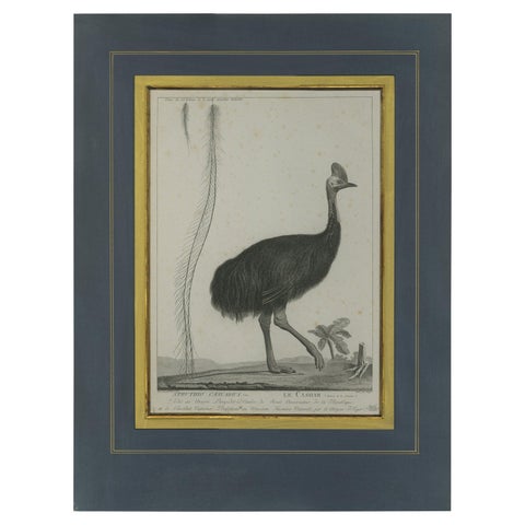 Antique Print of a Cassowary Bird by Miger 'c.1808'
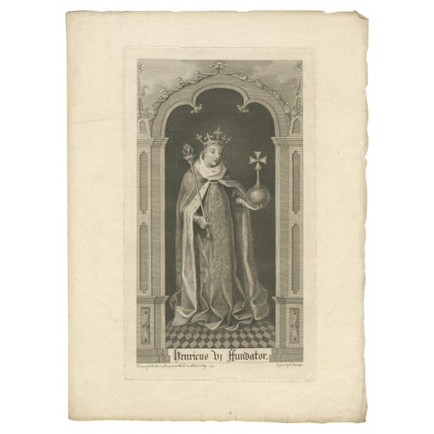 Antique Print of Henry VI after a Window at All Souls College '1773'
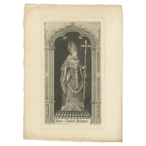 Antique Print of Henry Chichele After a Window at All Souls College '1772'
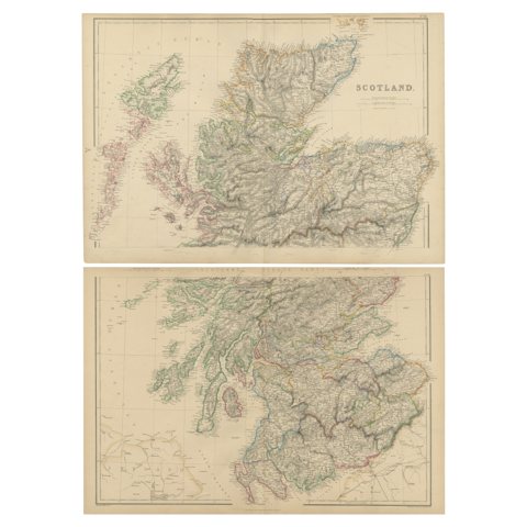 Set of 2 Antique Maps of Scotland by W. G. Blackie, 1859
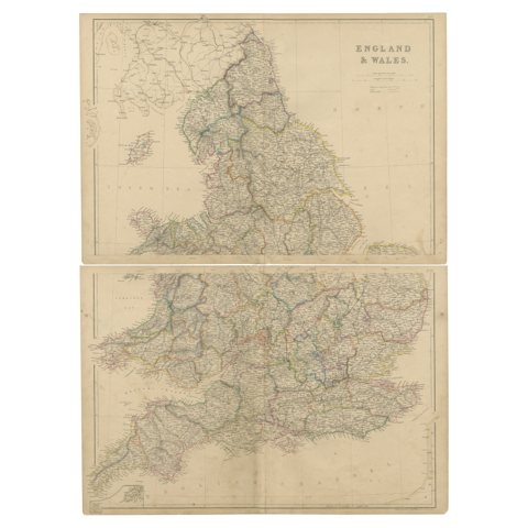 1859 Vintage Maps of England and Wales: Blackie's Imperial Geographic Detail
Sharing the sale? Download the Black Friday banners.