maps-prints.com
✦
Black Friday Sale
Friday 20 to Monday 30 November: up to 30% off original antique maps and prints
The terms
- Up to 30% off selected original antique maps and prints. Every piece is an original, printed in its own time; none is a reproduction.
- The sale runs from Friday 20 November to Monday 30 November. Sale prices shown here apply from Friday 20 November; until then pieces are sold at their regular price.
- Free FedEx shipping on qualifying orders placed on our own websites: USA, Canada, UK and Europe over $500 / €450; rest of the world over $750 / €675. Smaller orders pay our normal shipping rate.
- Orders placed from 15 to 30 November ship from 1 December, in time for Christmas. Our shipping partner is InXpress.
- Each piece is unique, so the sale is while stock lasts.
Collection:AllAmericanSea chartsMilitaryNatural historyFashionArchitectureBotanicalSacredEast Indies
Sale prices apply from Friday 20 November. Save the pieces you like with the heart and come back on Friday.
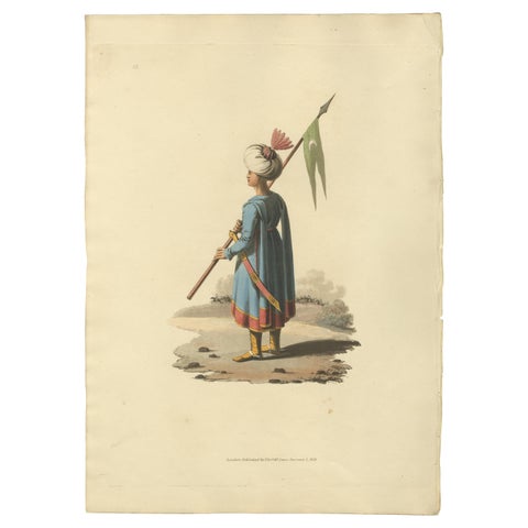 Antique Print Ensign Bearer of the Spahis, The Military Costume of Turkey, 1818
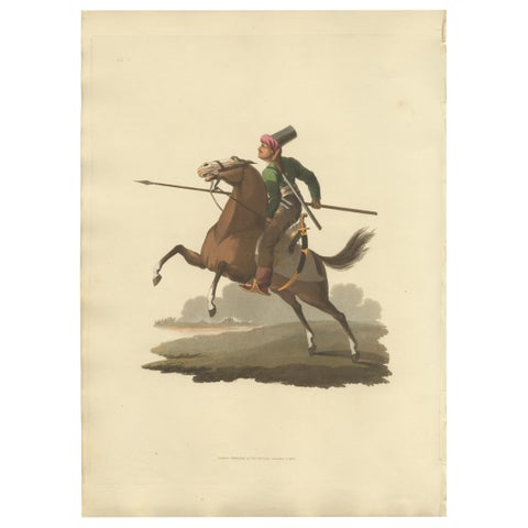 Antique Print of Turkish Cavalry Costume, Hand-Colored Aquatint, 1818
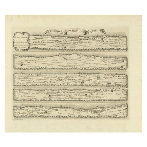 Antique Map Made After a Roman Papyrus Travel Map, Known as Peutinger Map, 1773
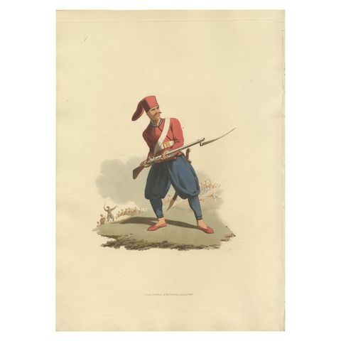 Antique Print of Turkish Soldier, Hand-Colored Aquatint, 1818, Folio
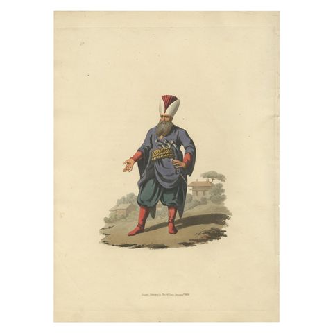 Antique Print of Police Officer, Hand-Colored Aquatint, 1818, Folio
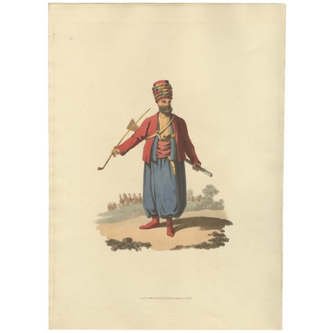 Antique Print of an Spahi, from The Military Costume of Turkey 1818
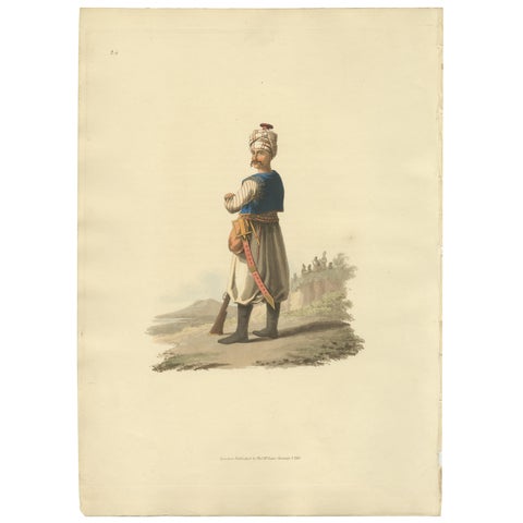 Antique Print of Janizary, Hand-Colored Aquatint, Turkey, 1818
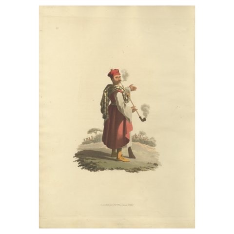 Antique Print of Janizary, 1818, Engraving on Paper, Watermarked
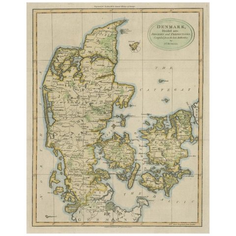 Antique Hand-Colored Engraved Map of Denmark, 1790
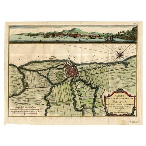 Antique Map of Batavia, Capital of The Dutch East Indies at the Time, 1751
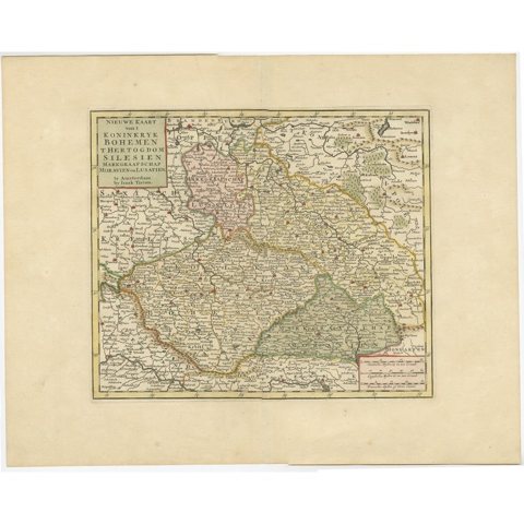 Antique Map of Bohemia in the Present-Day Chech Repubic, 1730
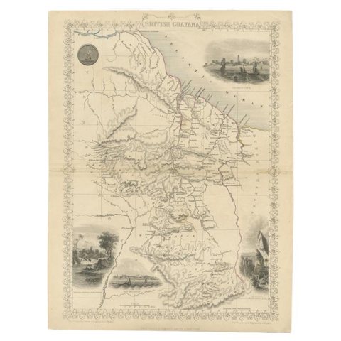 Antique Map of British Guayana with Insets of Georgetown, Devil's Rock Etc, 1851
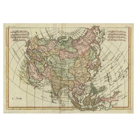 Antique Map of Asia, Showing Tradewinds, Silke Route Cities Etc, c.1780
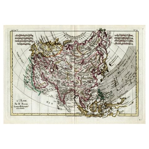 Attractive Antique Map of Asia with Borders Hand-Coloured, c.1780
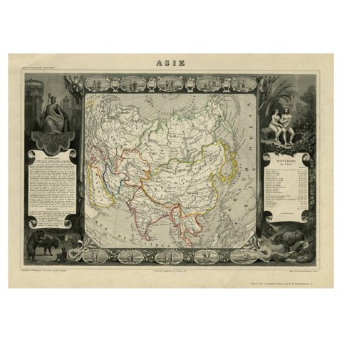 Nicely Decorated Antique Map of Asia, incl Population Figures, 1854
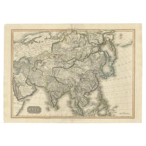 Large Antique Map of the Asian Continent, 1814
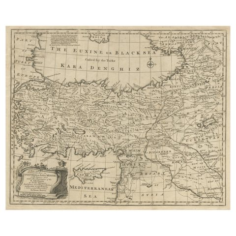 Antique Map of Asia Minor with Cyprus, Syria and Turkey and the Black Sea, 1747
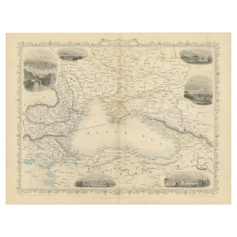 Mid 19th Century Map of the Black Sea with Decorative Vignettes, 1851
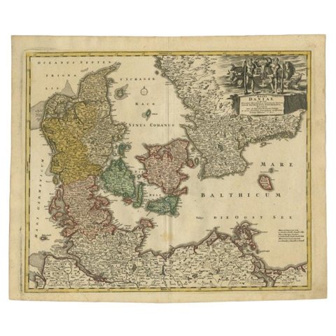 Antique Map of Denmark with the Danish Royal Crest, c.1730
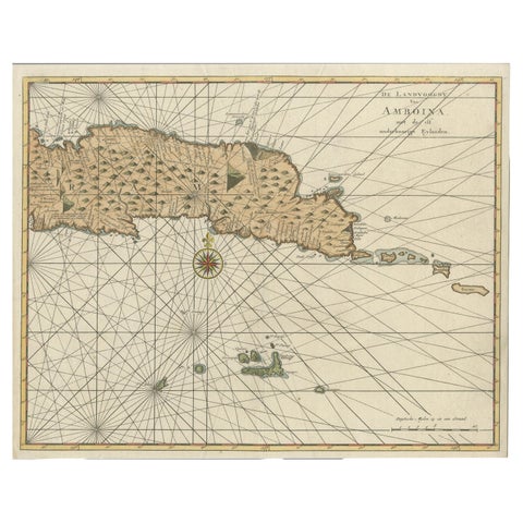 Antique Map of Eastern Seram, Part of the Maluku Island in East Indonesia, 1726
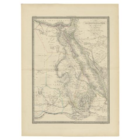 Large Antique Map of the Lower Nile Valley Including Egypt and Nubia, 1842
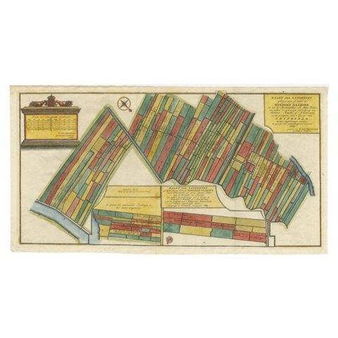 Antique Map Showing Estates of 1669 in Amsterdam, Published in c.1767
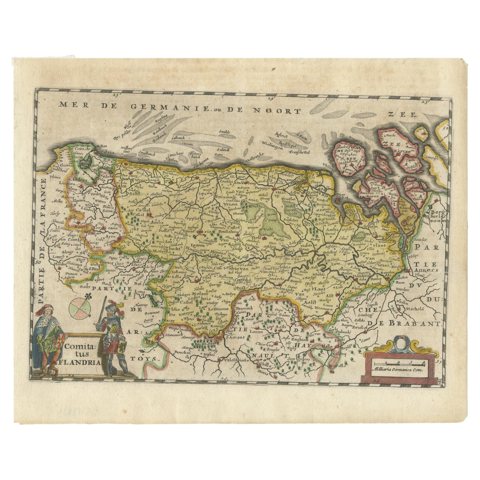 Antique Map of Flanders, Belgium, 1630
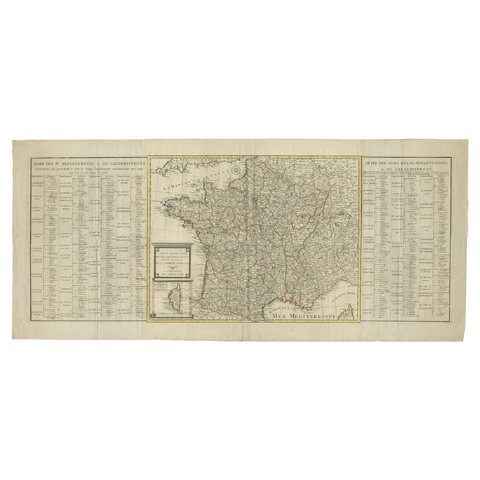 Antique Map of France by Covens & Son, c.1790
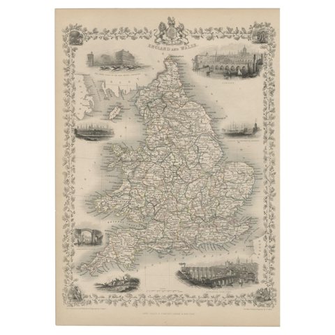 Antique Map of England and Wales with Decorative Vignettes, 1851
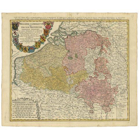 Antique Map of Belgium and Luxembourg by Homann Heirs, 1747
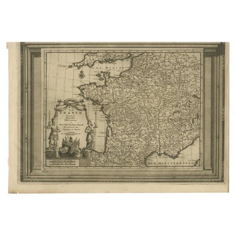 Antique Map of France with Beautiful Title Cartouche and Border, c.1740
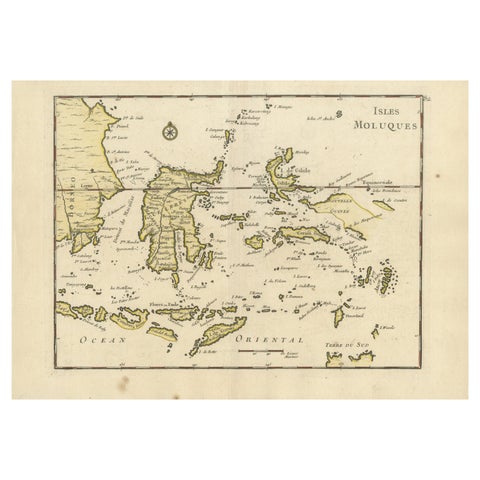 Old Original Antique Map of the Islands of East Indonesia, 1756
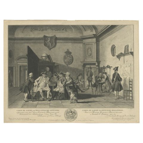 Fine Engraving Depicting an Officer's Mess in the Low Countries, 'Holland', 1754
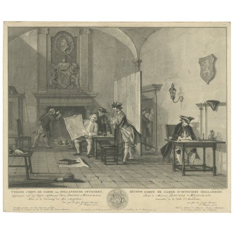 Fine Engraving of the 2nd Corps de Garde in the Low Countries 'Holland', 1760
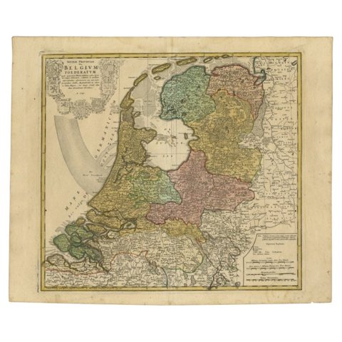 Detailed Old Map of the Seven Provinces of the Belgian/Dutch Federation, ca.1748
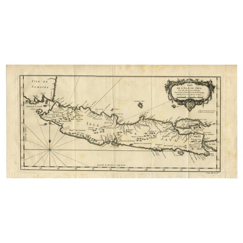 Antique Map of Java and Madura Island, Indonesia, c.1760
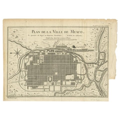 Antique Map of Kyoto located in The Kansai Region on the Island of Honshu, c1740
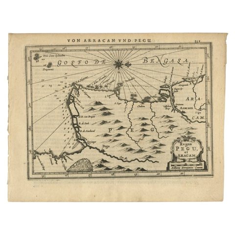 Antique Map of Myanmar titled 'Regna Pegu et Aracam by Mapmaker Janssonius, 1651
 Original Vintage Lithograph on Board Promoting Candles, ca.1900
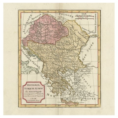 Old Engraved Map of Hungary, European Balkan Countries, Greece and Crete, 1806
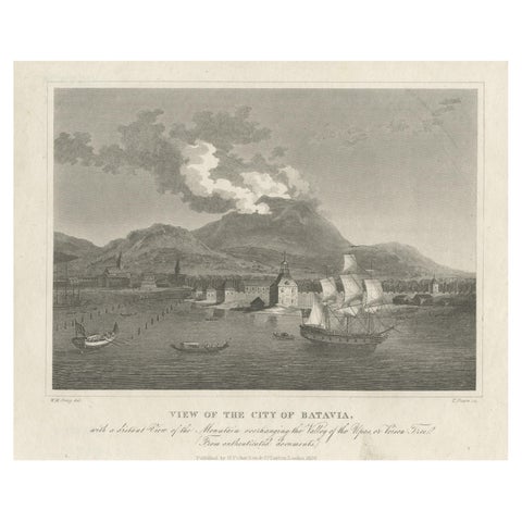 Antique Print of the Harbour Sunda Kelapa of Batavia in the Dutch Indies, 1826
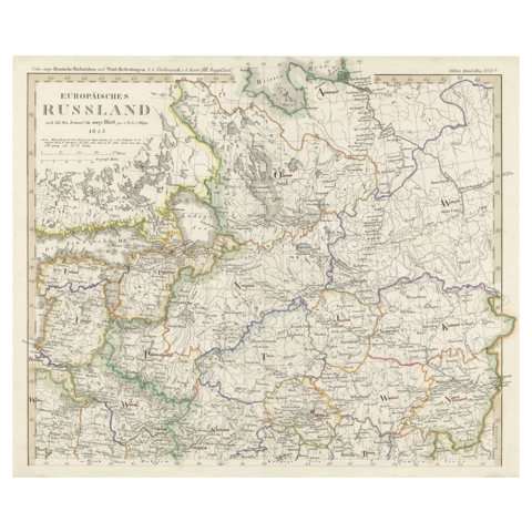 Antique Map of Russia in Europe on Two Sheets from an Old German Atlas, Ca.1825
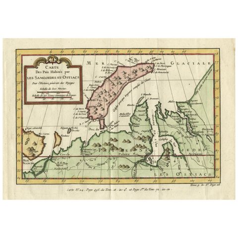 Decorative Original Old Map of Nova Zembla and the Russian Mainland, ca.1760
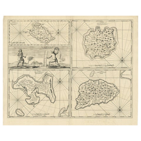 Antique Map of Manipa and Other Maluku Islands, Indonesia, 1726
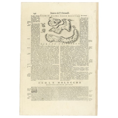 Antique Map of the Banda Islands or Spice Islands, Moluccas, Indonesia, 1697
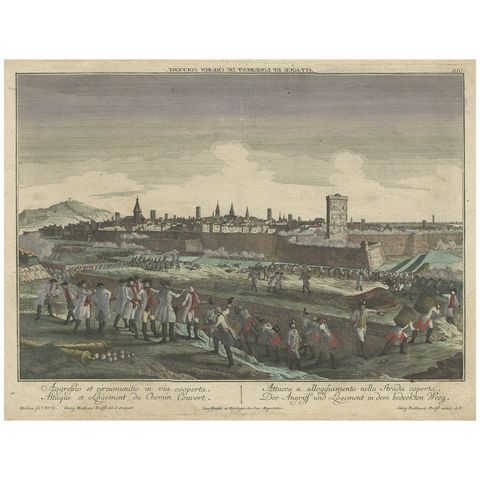 Optical View Depicting the Siege of Barcelona, Spain, ca.1765
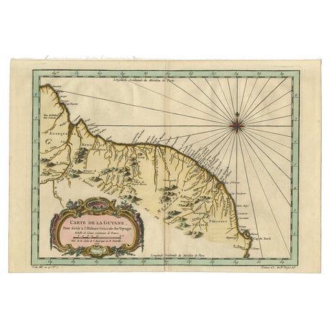 Old Map of Guyana, Suriname and French Guiana with Paramaribo and Cayenne, c1760
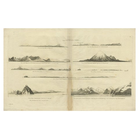 Antique Map of the West Coast of America with Island Views, ca.1784
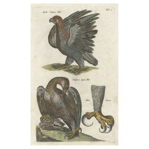 Antique Old Hand-Colored Bird Print of Two Eagles and an Eagle Claw, 1657
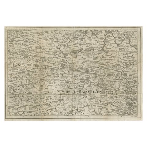 Rare Detailed Antique Map of Prague and Its North West Environs, ca.1760
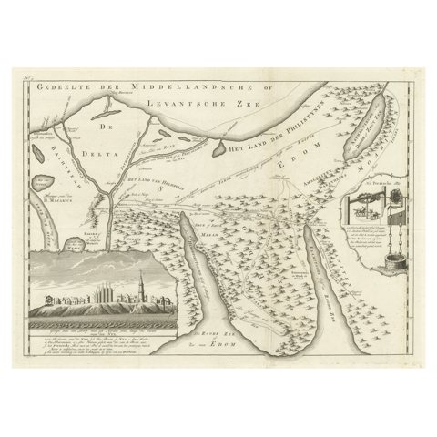 Old Map of the Sinai Peninsula Showing the Mediterranean and the Red Sea, 1773
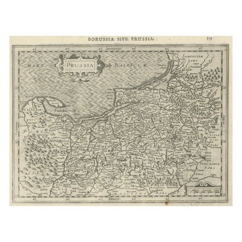 Old Original Engraving of Prussia on the Southeast Coast of the Baltic Sea, 1632
Sharing the sale? Download the Black Friday banners.