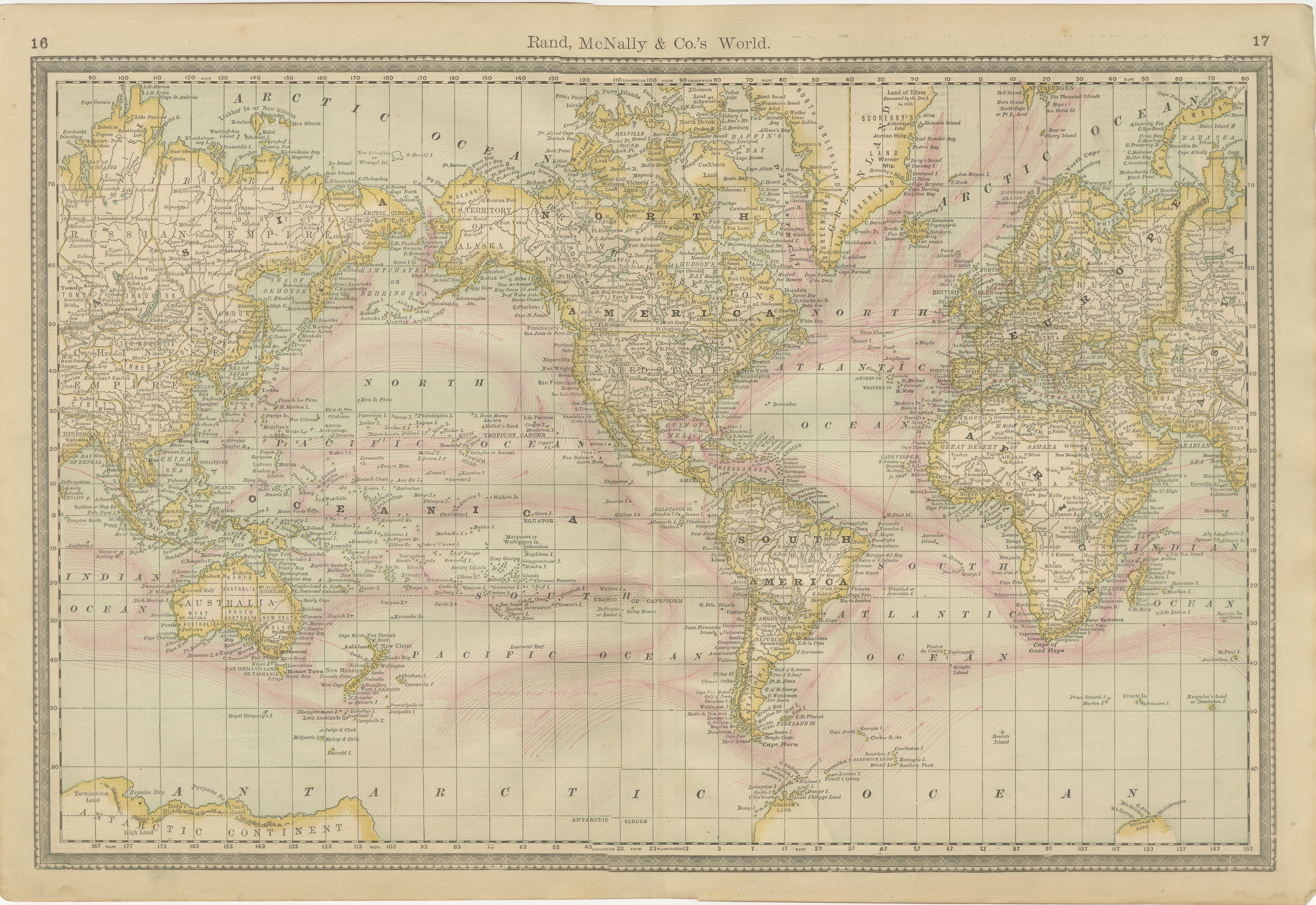
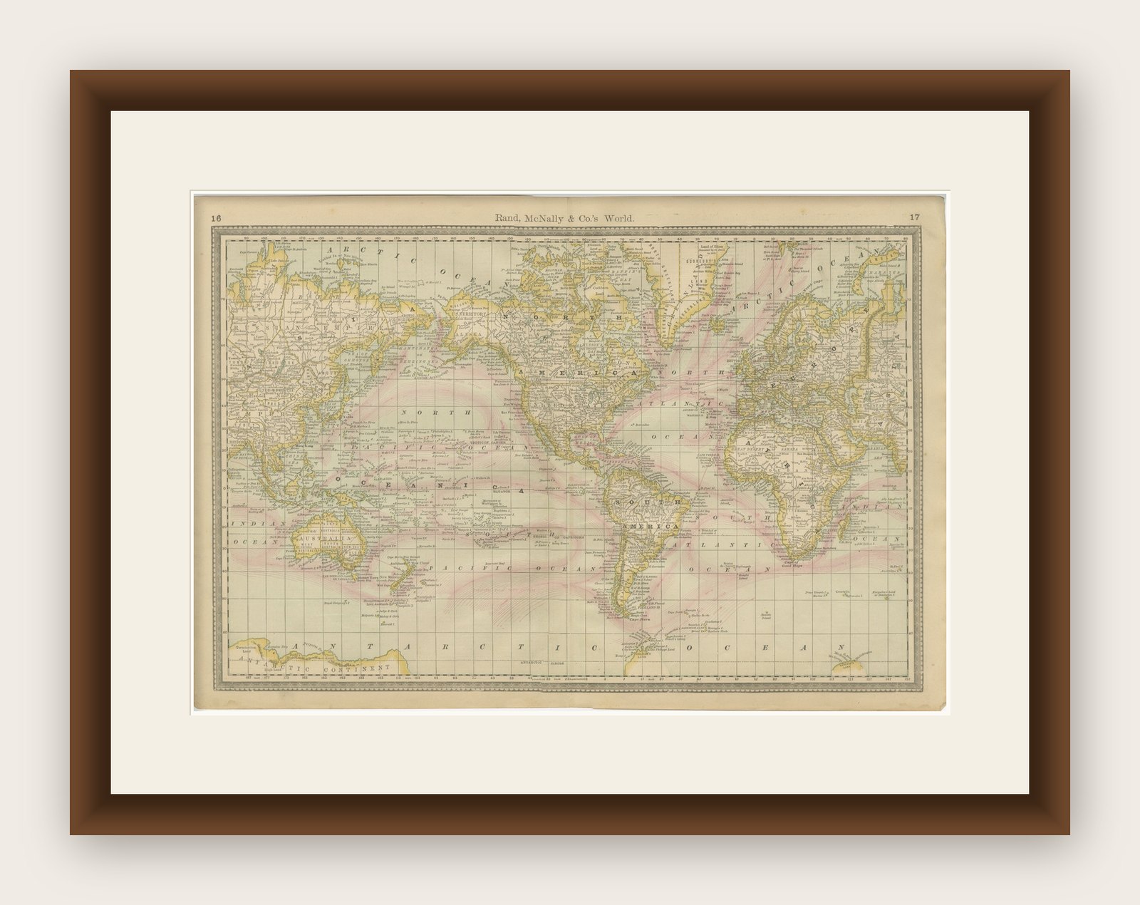
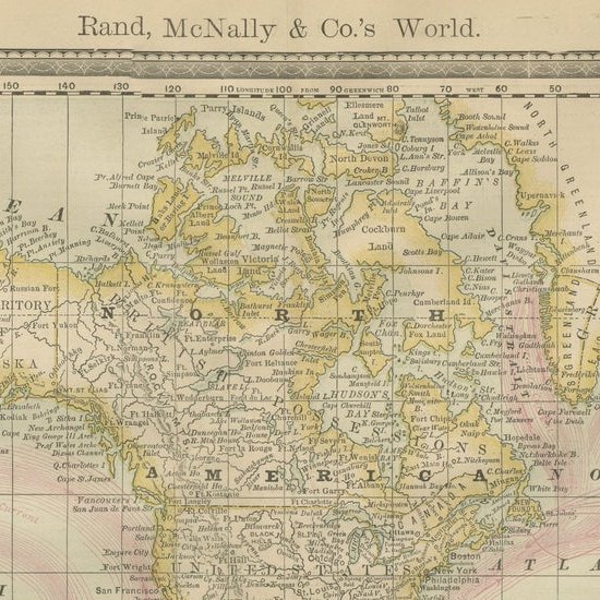
World Antique Map c.1888 – Rand McNally, Continents & Territories
€ 490
Original antique · The actual sheet photographed · Certificate of authenticity on request · Sold unframed · Worldwide shipping from € 15 (rates)
Date
1888
Mapmaker / artist
Rand, McNally & Co., Chicago, circa 1888
Technique
Lithograph with original color
Sheet size
36 × 52.5 cm (14.2 × 20.7 in)
Condition
Good
Reference
BG-12794-1
What the condition grades mean
Excellent
Bright and clean, with no faults worth mentioning.
Very good
Only light signs of age, such as faint toning.
Good
Normal signs of age for a sheet of this period: toning, some foxing, small marks or neat old repairs.
Fair
Clear faults such as staining, tears or repairs, priced to match.
Every fault we see is written in the condition note, and the whole sheet is shown uncropped in the photos.
Condition
Very good condition with mild toning and a faint vertical center fold as issued. Marginal handling wear present but not affecting the printed image. Plate mark visible.
About this sheet
Antique Map of Mexico – Rand McNally, circa 1888
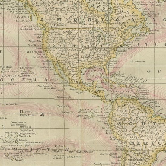
This antique map titled “Rand, McNally & Co.’s Mexico” was published around 1888 and depicts Mexico in the late 19th century, a period of modernization and national consolidation under the Porfirio Díaz regime. Covering the entire country from the U.S. border in the north to the Yucatán Peninsula in the south, the map includes Baja California, the Gulf of Mexico, and adjacent regions of Texas, New Mexico, and Central America.
The map is rich in geographical and political detail, showing state boundaries, cities, towns, rivers, and mountain ranges. A particularly important feature is the extensive railroad network, printed in red and blue, which highlights the rapid development of Mexico’s transportation infrastructure during the late 19th century. Mexico City, Guadalajara, Monterrey, Veracruz, Mérida, and many smaller towns are precisely engraved, along with ports on both the Pacific and Gulf coasts.
The Gulf of Mexico and Pacific coastlines are carefully delineated with shading to indicate relief and coastal waters. Insets are not present, as the focus remains on the full national extent. This map offers both an attractive visual presentation and a historical record of Mexico during a transformative era, just prior to the political upheavals of the Mexican Revolution in the early 20th century.
Condition report: Very good condition with mild toning and a faint vertical center fold as issued. Marginal handling wear present but not affecting the printed image. Plate mark visible.
Framing tips: A dark oak or walnut frame with a neutral cream or ivory mat provides an elegant display for this map. For a stronger visual statement, a double mat in ivory with a thin red inner line can echo the railroad markings, enhancing its historical character.