About this sheet
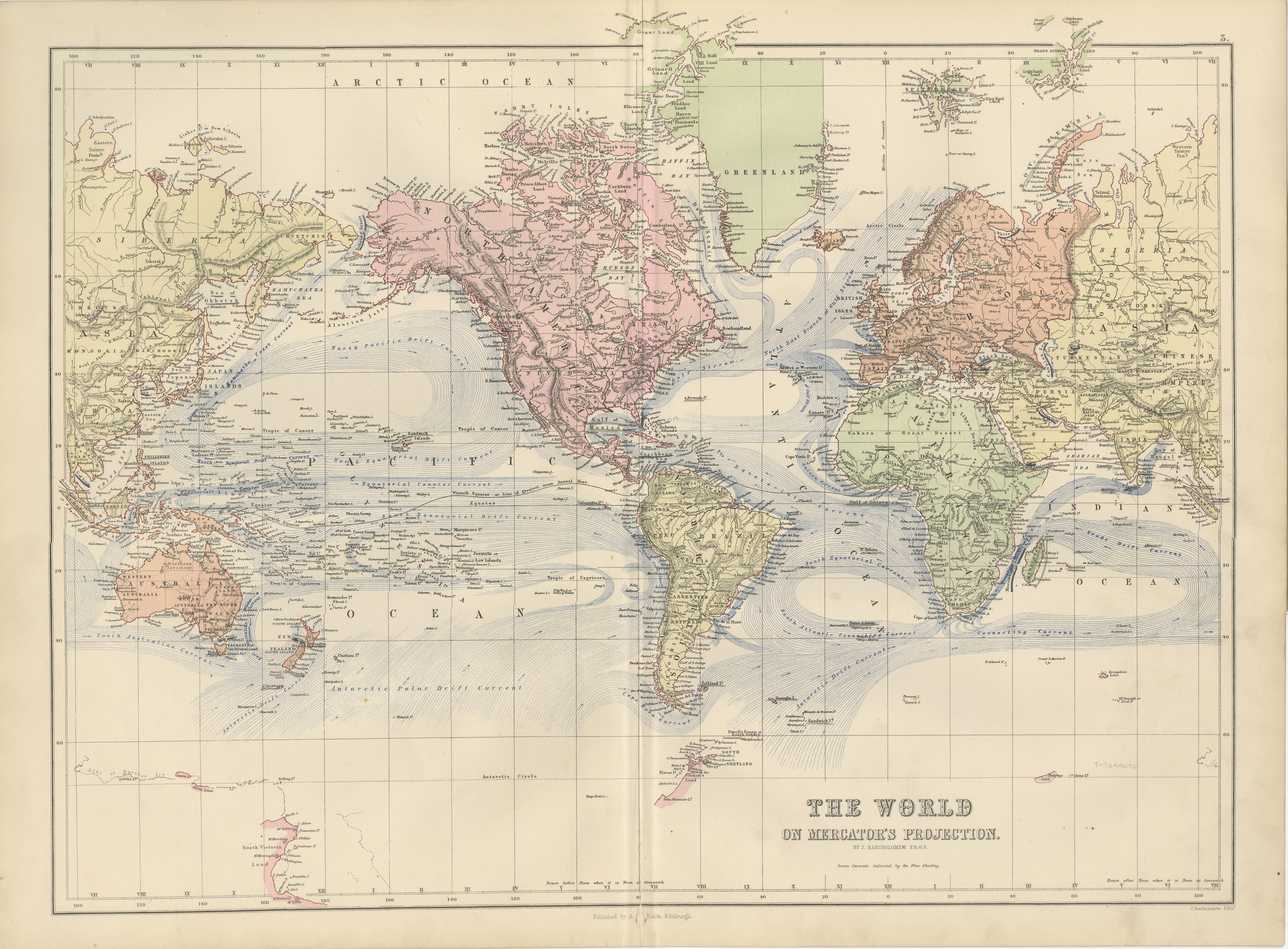
Antique World Map on Mercator’s Projection – Black’s Atlas, 1884
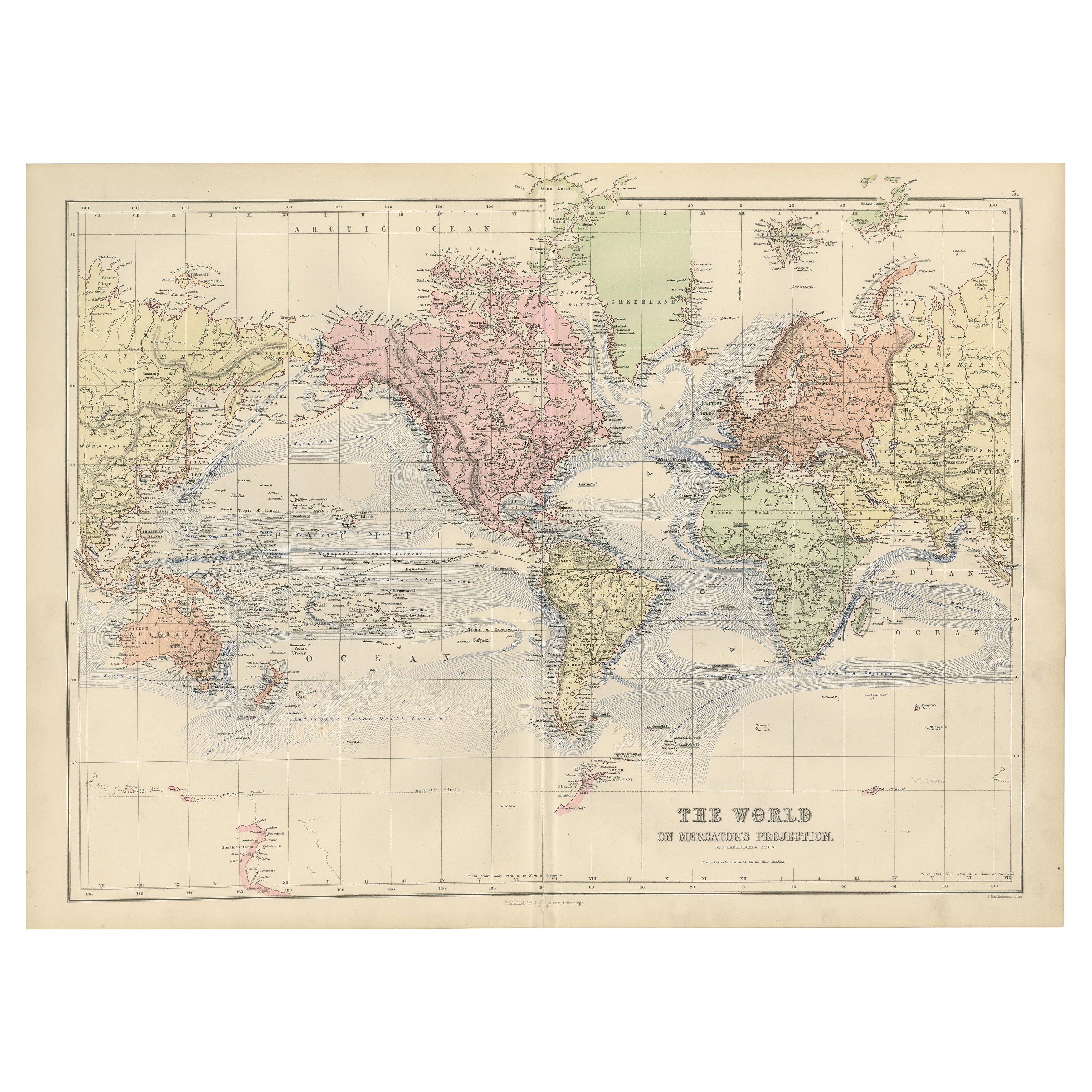
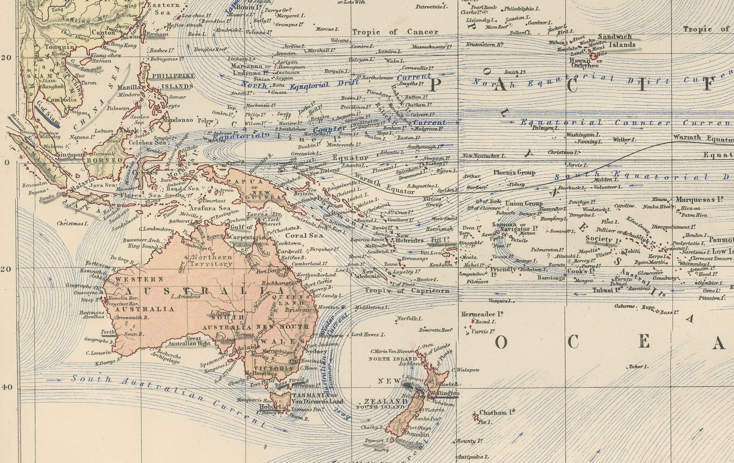
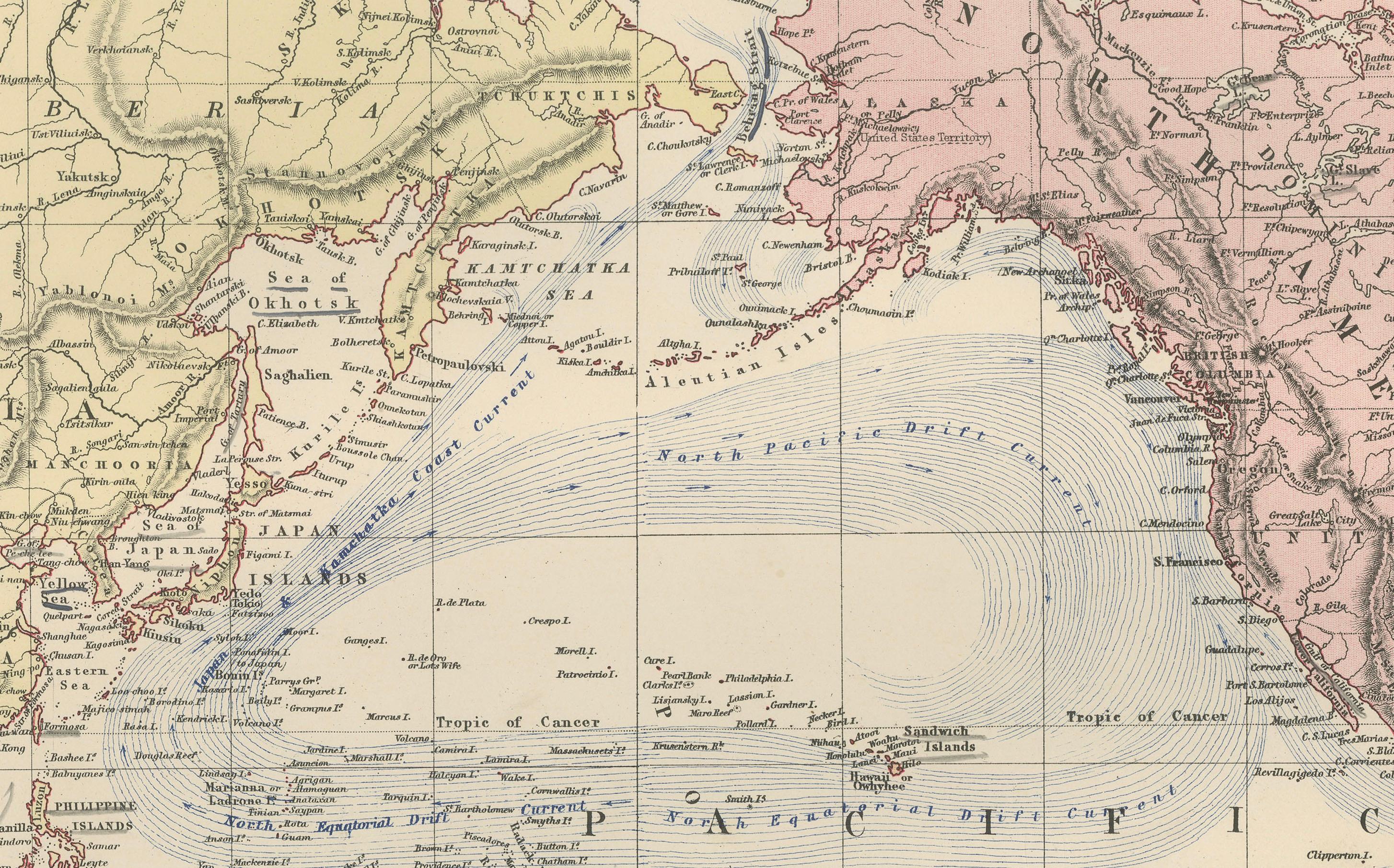
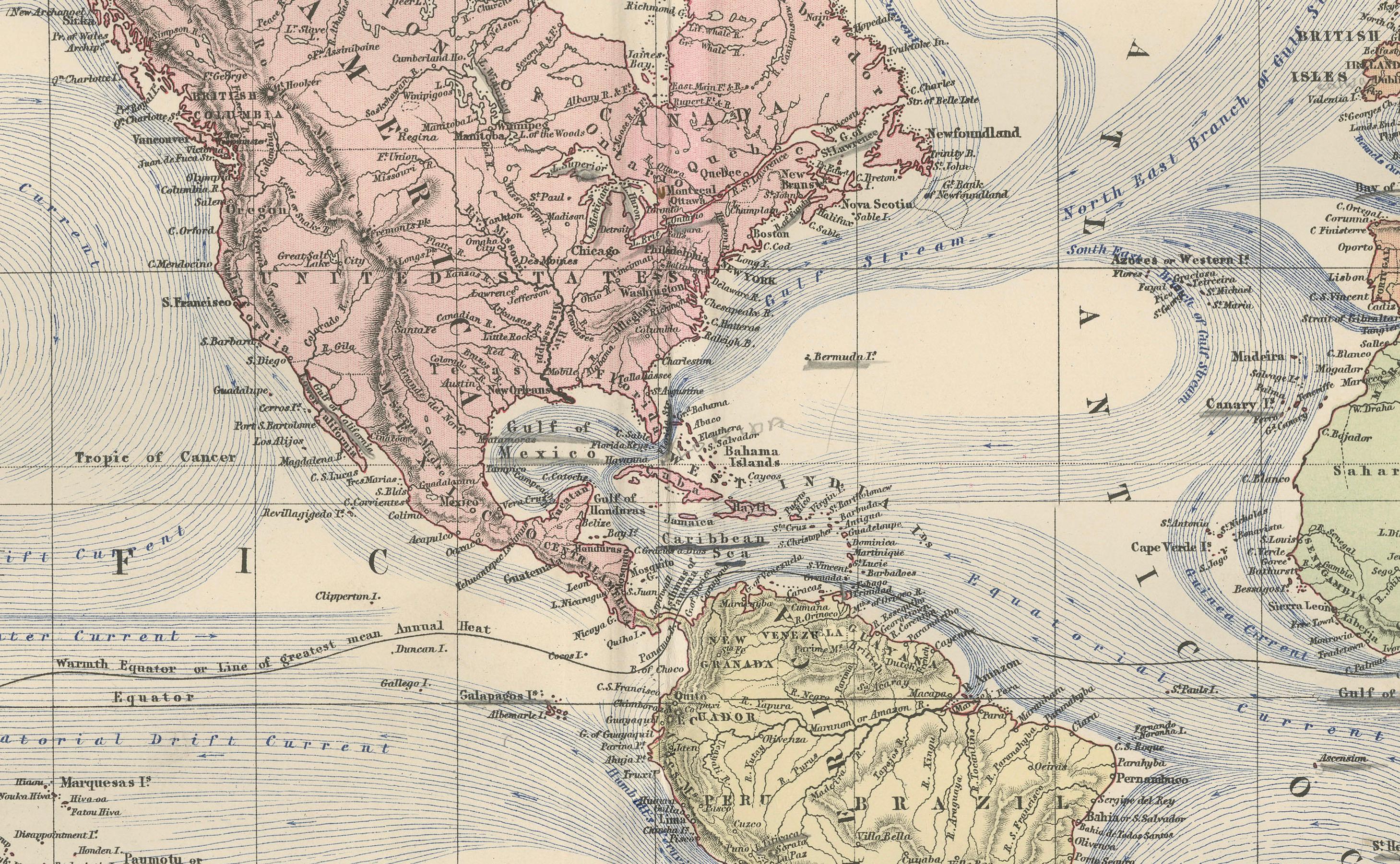
This finely engraved and colored map, titled The World on Mercator’s Projection, was published in the New and Revised Edition of Black’s General Atlas of the World in Edinburgh, 1884. It presents a late 19th-century vision of global geography, combining political divisions with important navigational information.
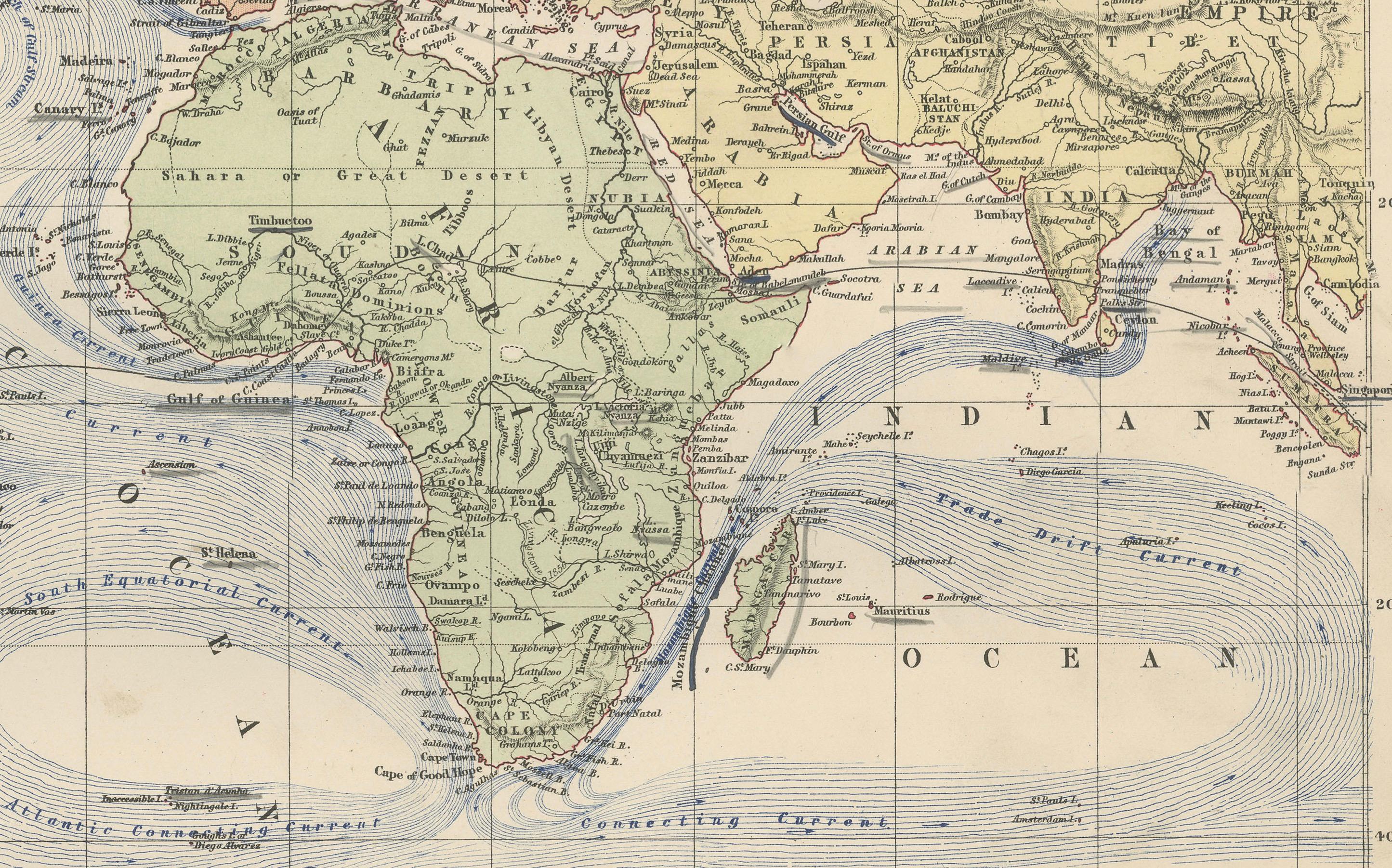
The map divides the continents into distinct color shadings, making clear the colonial and political boundaries of the period. Africa appears largely undefined, reflecting the early years of the Scramble for Africa, while Asia highlights the British Raj in India and Russian expansion into Central Asia. Australia and New Zealand are shown as British colonies, while North and South America are depicted with established political borders, including U.S. states and South American republics.
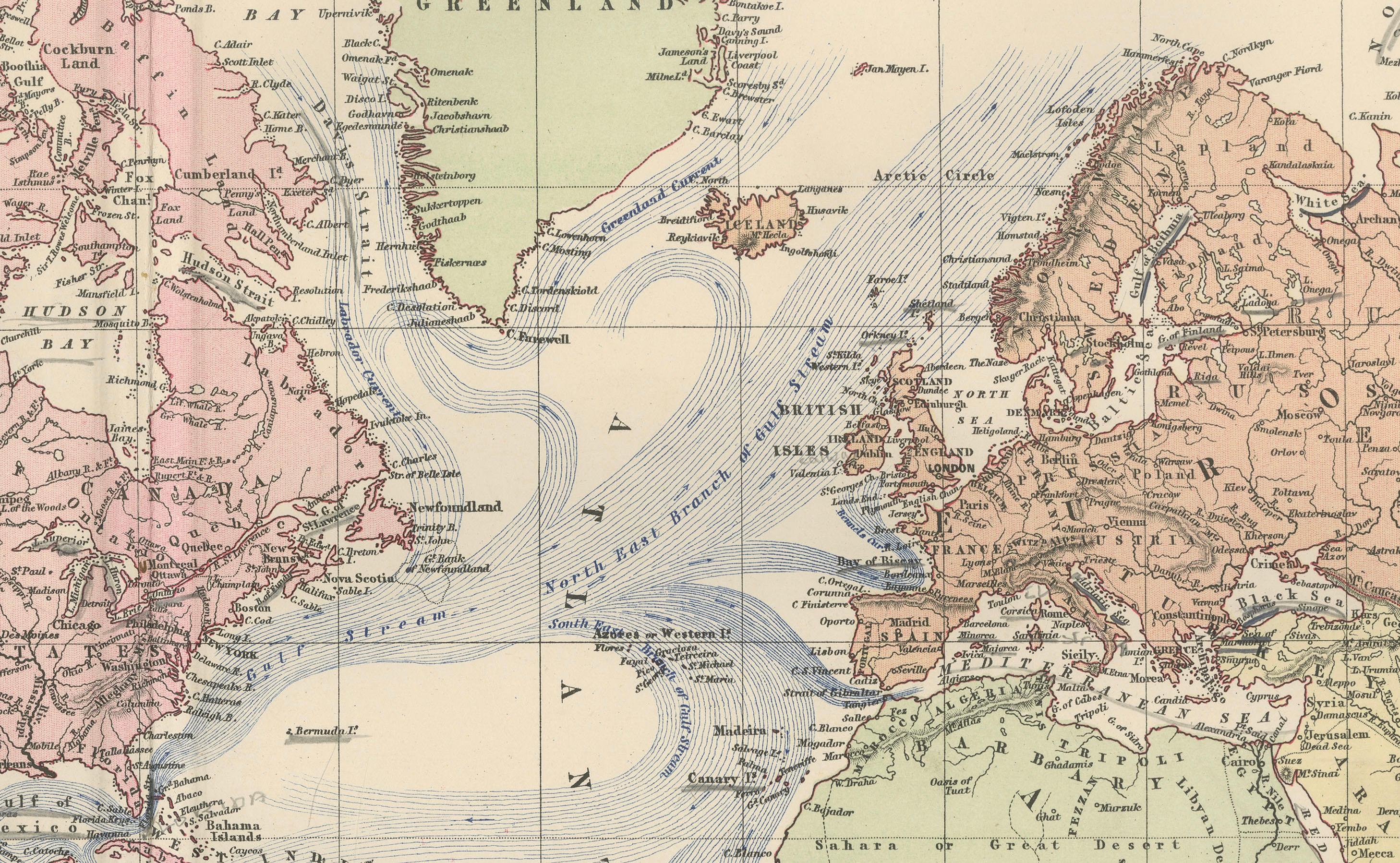
A striking feature of this map is its overlay of maritime information: the oceans are filled with carefully engraved current lines and trade wind patterns, essential knowledge for 19th-century navigation and commerce. These details underscore the continued dominance of global trade by sea at the time.
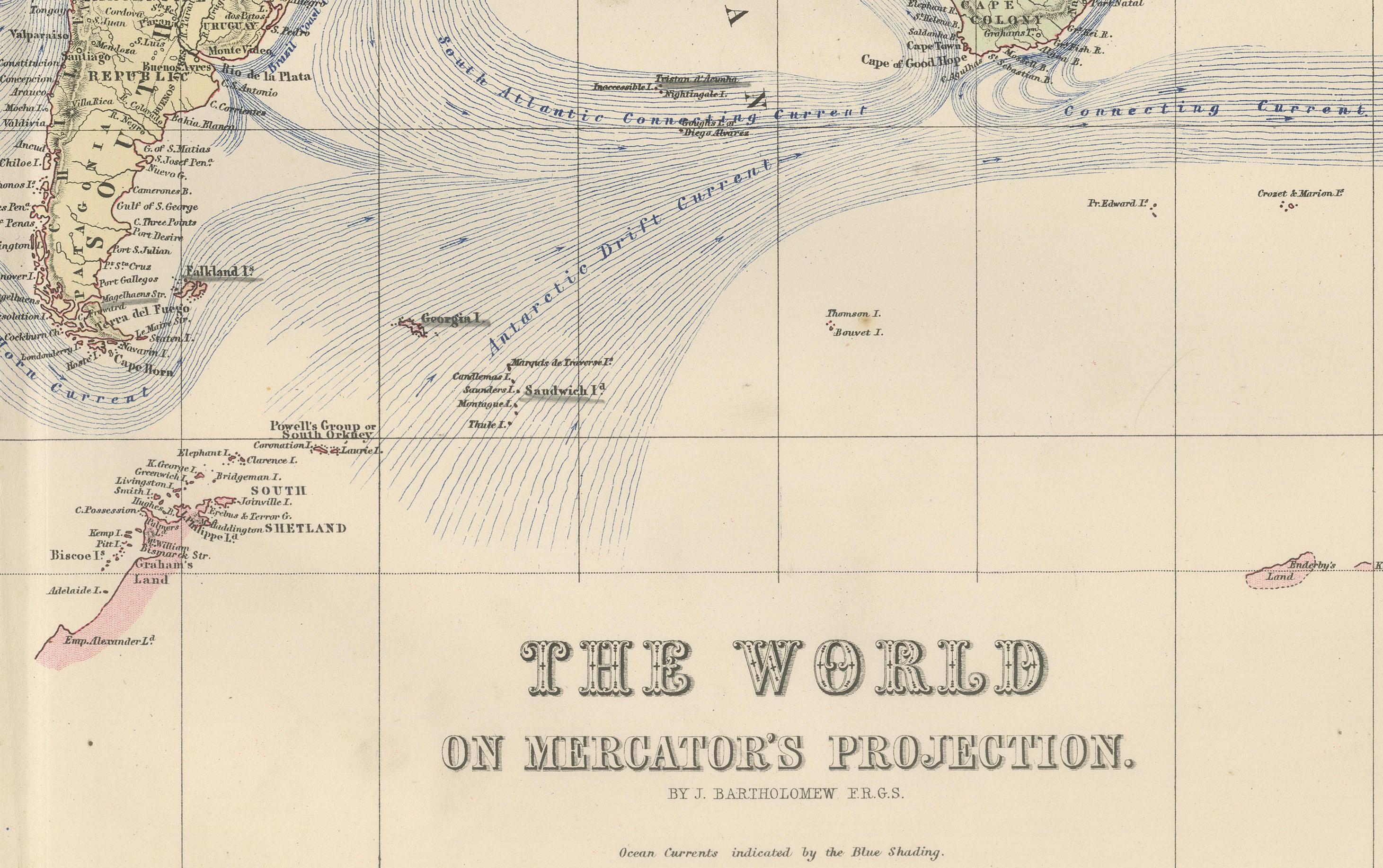
The polar regions remain incomplete, reflecting the limits of exploration in 1884, though Greenland, the Arctic archipelagos, and parts of the Antarctic coastline are indicated. The map is bordered by longitude and latitude markings and engraved with fine precision typical of the high standards of Black’s atlas productions.
For collectors, this piece offers a valuable historical document that reflects the geopolitical world order and global trade patterns of the late Victorian age. Its elegant hand-coloring and detailed engraving make it equally appealing as a decorative work of art.
Condition report:
Very good condition. Original hand coloring remains bright and clear. Center fold as issued. Light toning to margins and a faint age patina consistent with atlas maps of this period. No tears or significant blemishes. Frame is NOT included.
Framing tips:
This map presents beautifully when framed with a neutral archival mat in off-white or ivory to highlight the hand-coloring. A dark wood or black frame adds sophistication, while a gilt frame emphasizes its Victorian heritage. UV-protective glass is recommended to preserve color vibrancy.
Technique: Engraving with original hand coloring
Maker: Black’s General Atlas, Edinburgh, 1884
Note: Frame is NOT included.