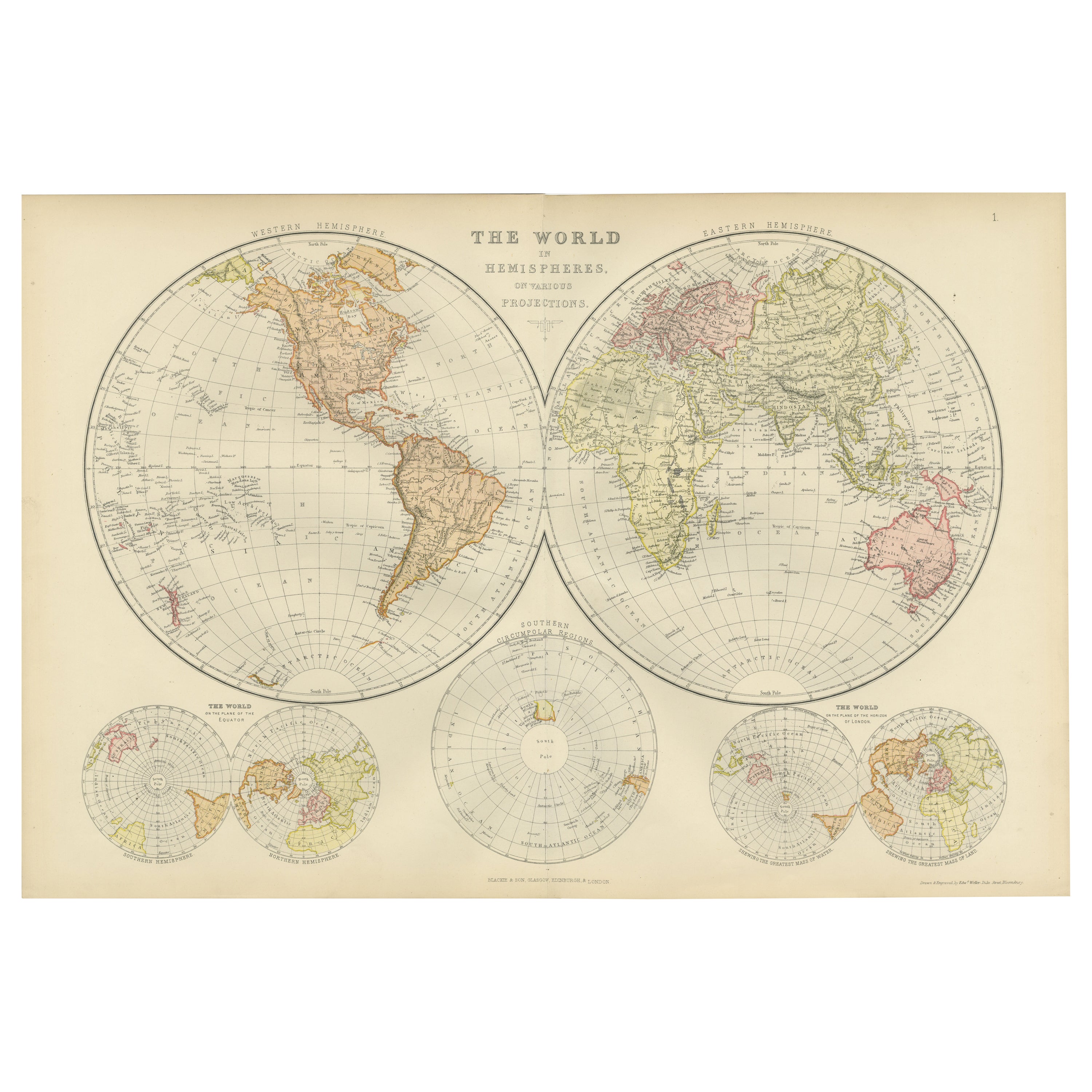
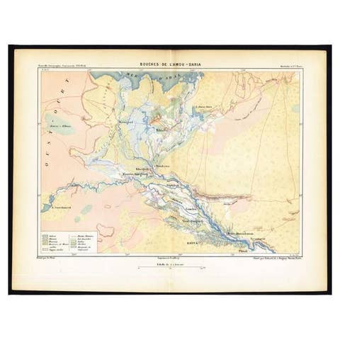
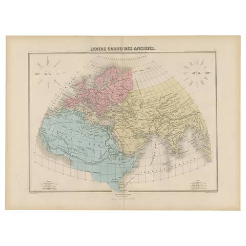
Antique Map of The World in Hemispheres on Various Projections, 1882
€ 280
One of a kind: this is the sheet in the photographs. Ships from Langweer, the Netherlands.
Date
1882
Sheet size
38 × 56.5 cm (15.0 × 22.2 in)
Condition
Good
Reference
BG-13601-2-11
Condition
The map is in very good condition. Please study the images carefully.
About this sheet
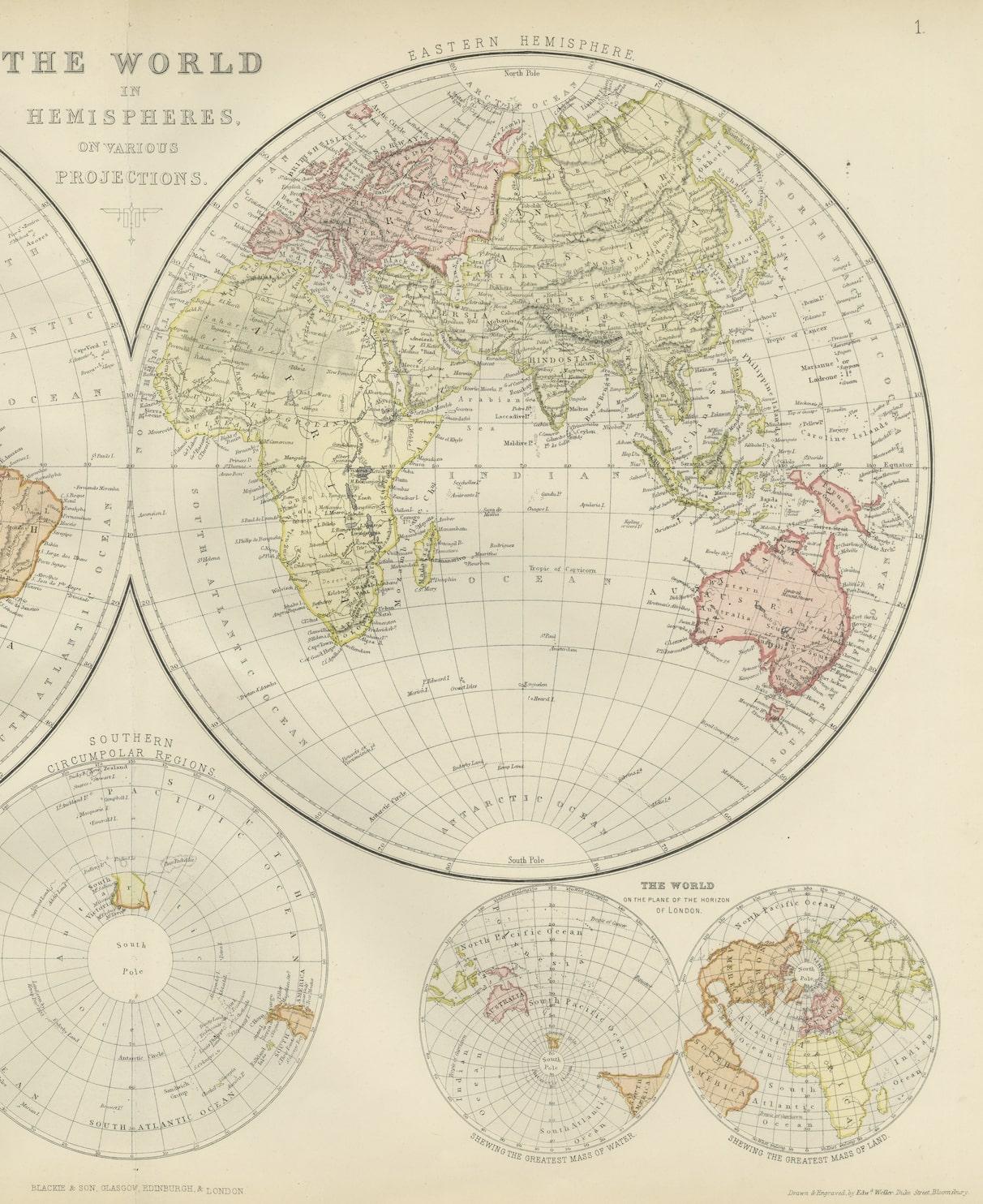
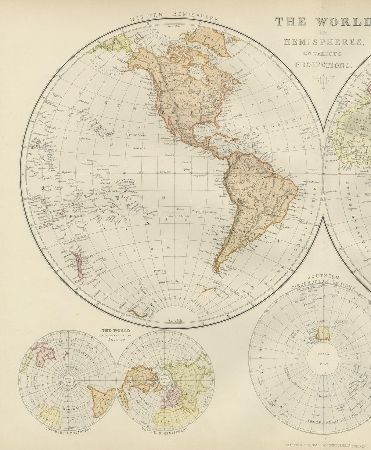

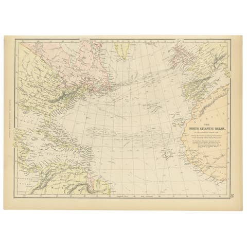
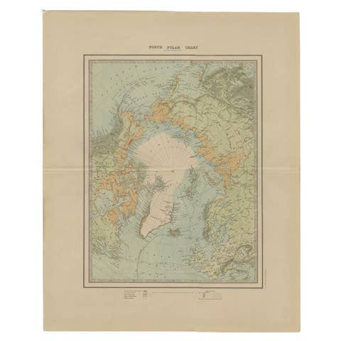
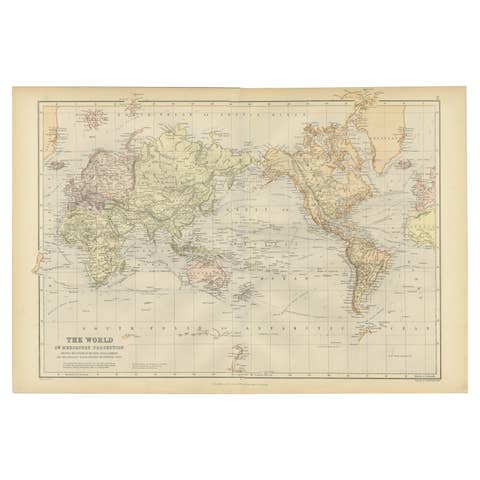
This stunning 1882 'Antique Map of The World in Hemispheres' showcases an exquisite blend of cartographic precision and artistic elegance. Crafted under the watchful eye of W.G. Blackie, it's a testament to the era's meticulous mapmaking.
The map's intricate details unfurl across a colorful canvas, showcasing the world's hemispheres on various projections. Each hemisphere, meticulously delineated, embodies a unique cartographic perspective, transporting viewers to a time when exploration and discovery fueled the imagination.
With elaborate calligraphy labeling continents, oceans, and countries, it captures the essence of 19th-century cartography.