About this sheet
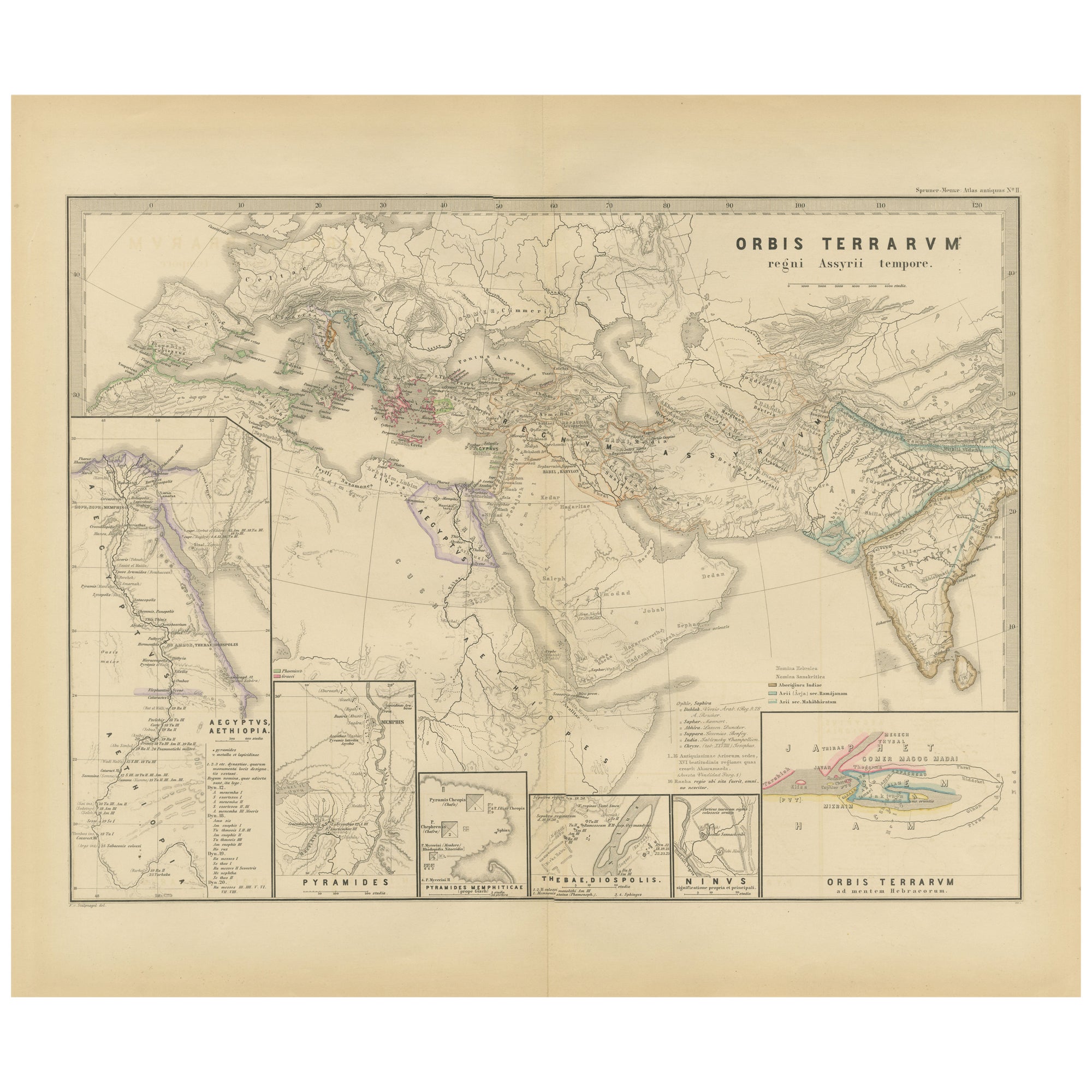
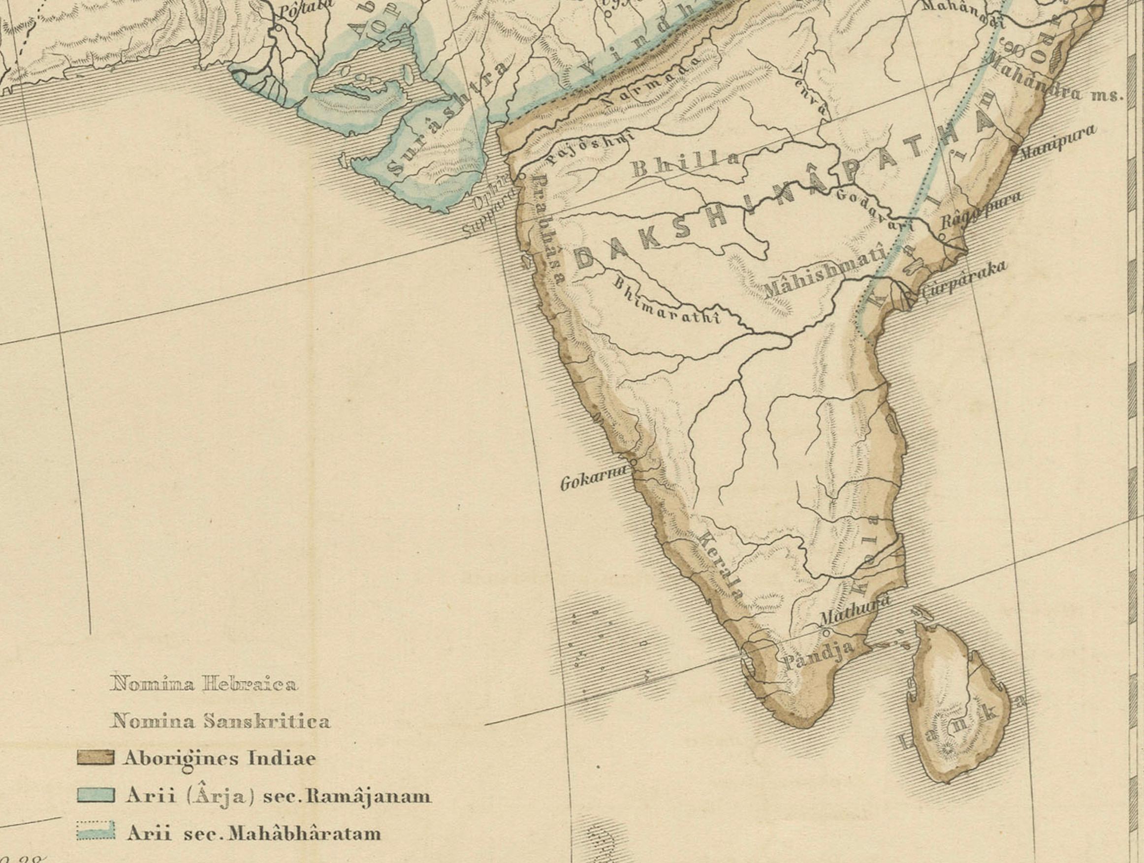
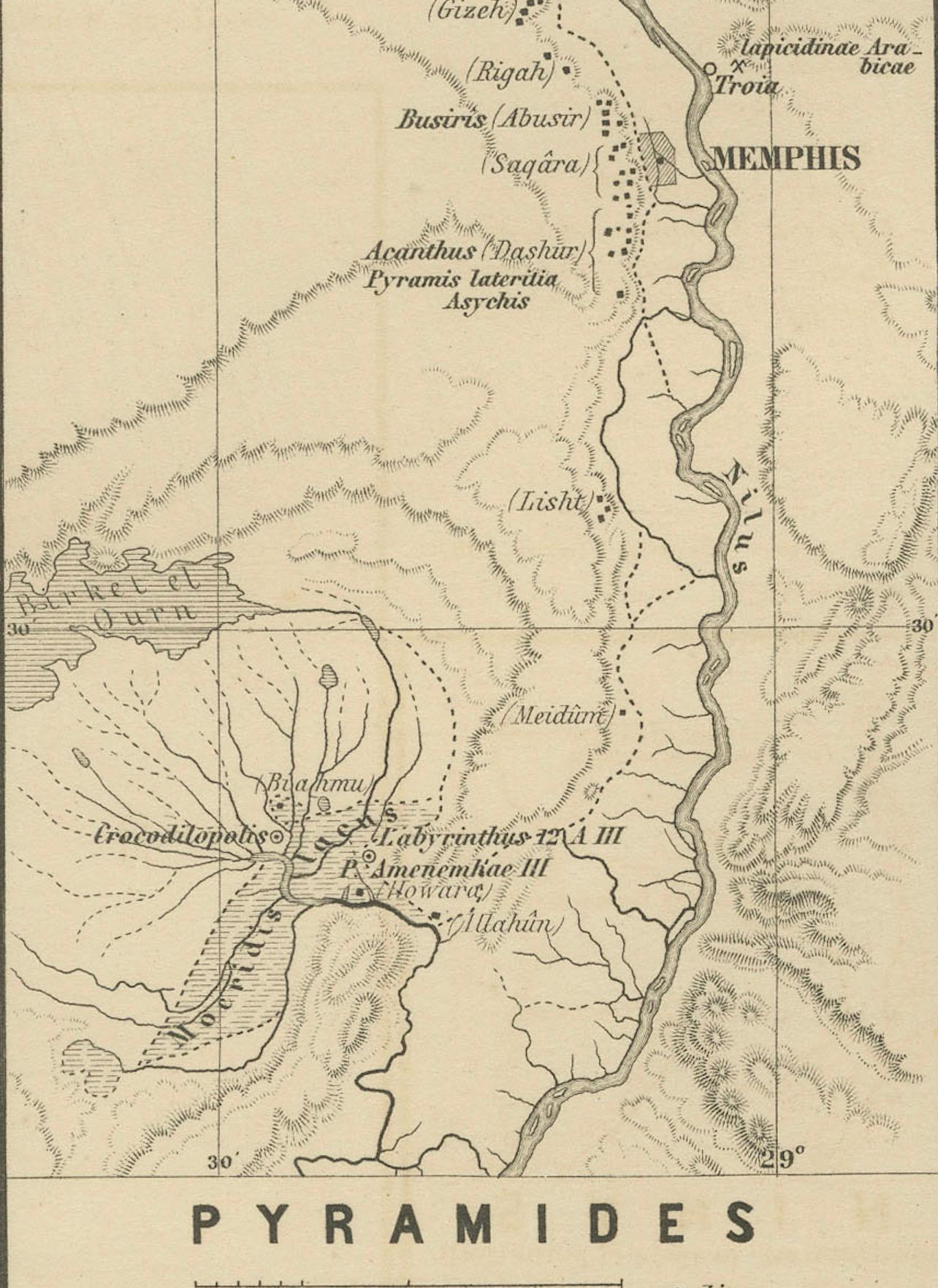
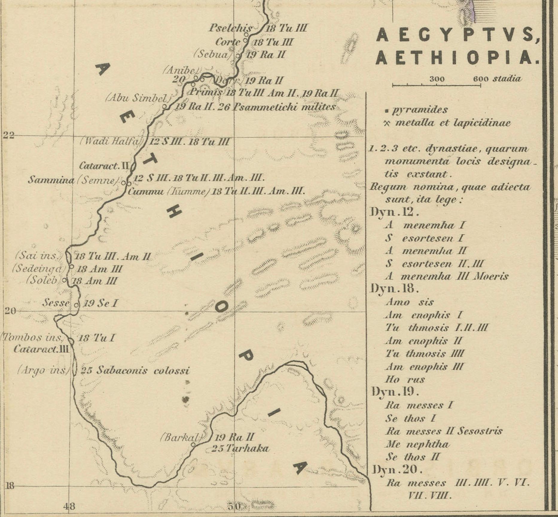
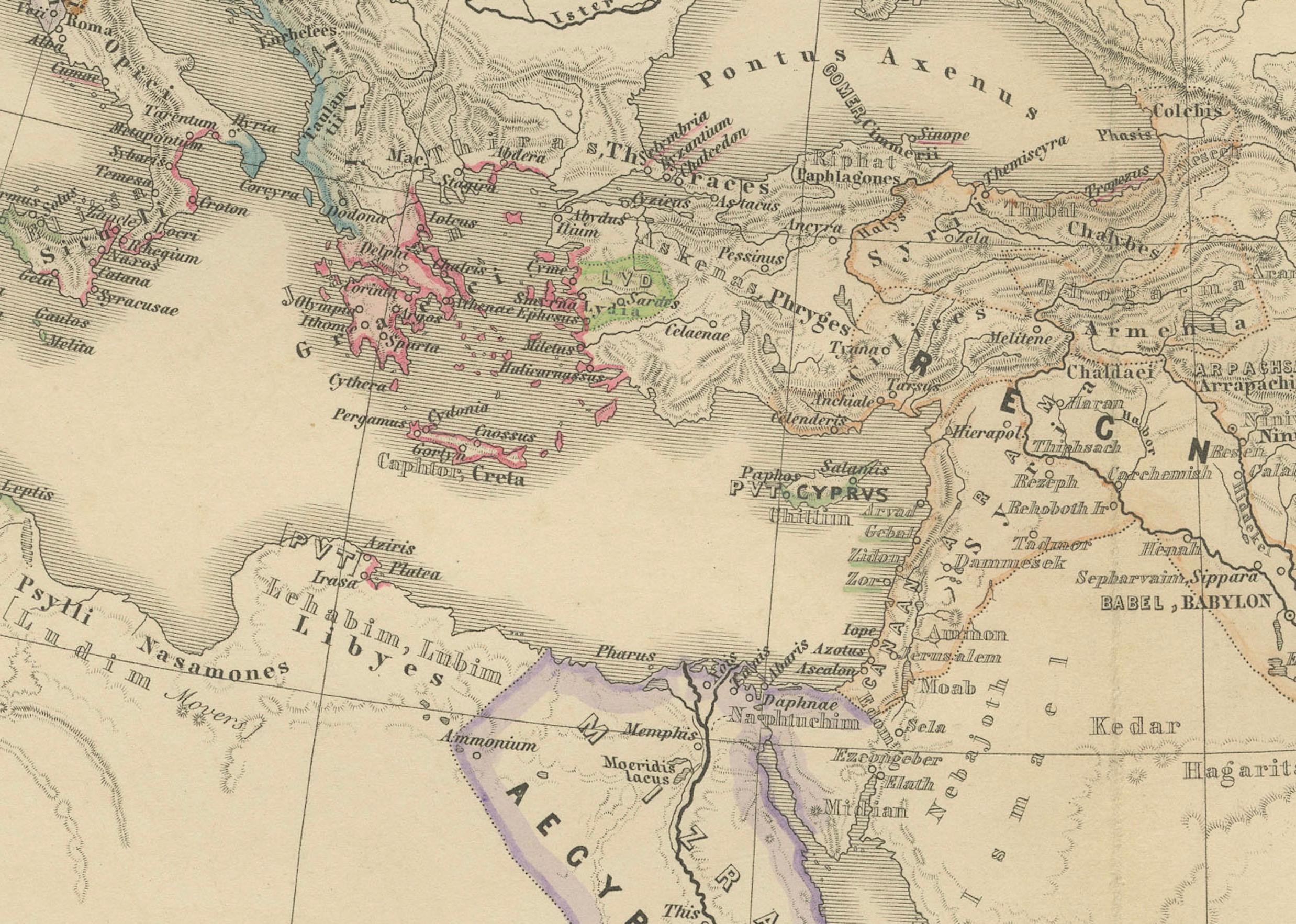
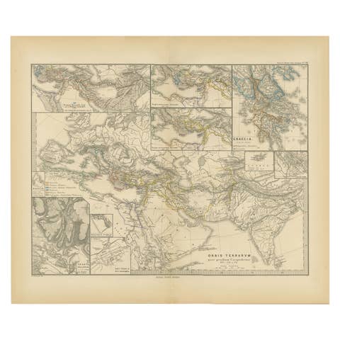
This map from the "Spruner-Menke Atlas Antiquus" is titled "ORBIS TERRARVM regni Assyrii tempore," which translates to "The World at the Time of the Assyrian Kingdom." It depicts the known world during the era of the Assyrian Empire, which was one of the ancient Near East's most powerful states, dominating the region from approximately the 25th to the 7th centuries BC.
Here are some key aspects of the map:
1. **Scope of the Assyrian Empire**: The map likely outlines the extent of the Assyrian Empire at its peak, including detailed territories across the Middle East.
2. **Historical Geography**: It represents significant geographical features such as the Tigris and Euphrates rivers, the Mediterranean and Caspian Seas, and the mountain ranges of the region.
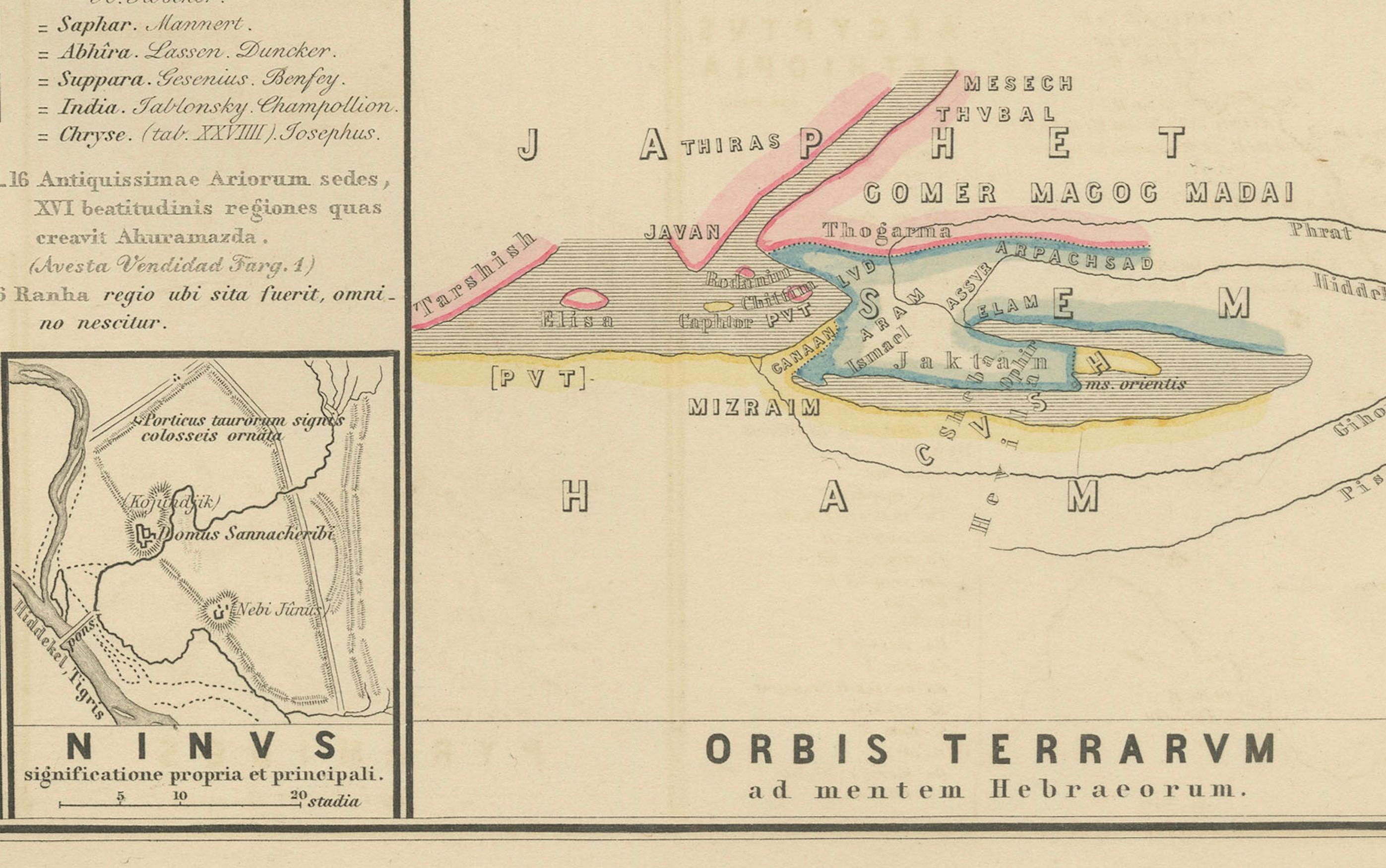
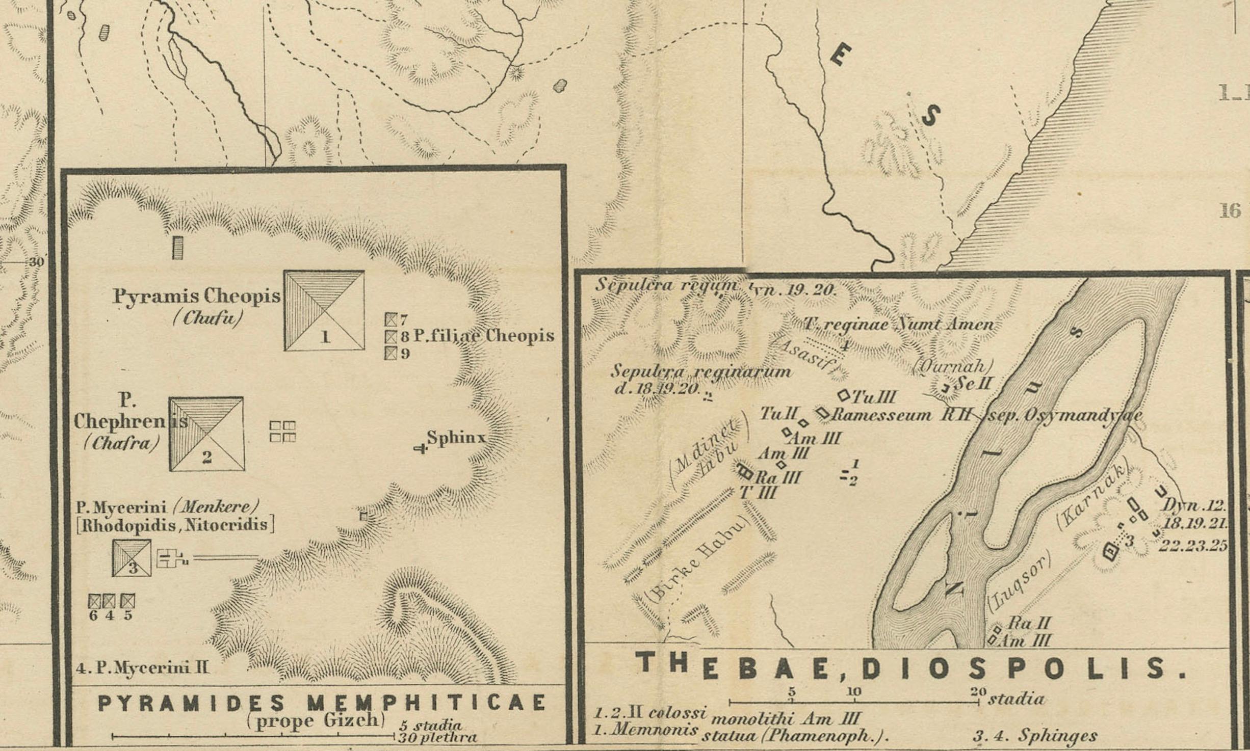
3. **Inset Maps**: The inclusion of inset maps, such as those detailing Egypt and Ethiopia, the pyramids, and the city of Nineveh, provide additional historical and archaeological context.
4. **Ancient Cities**: The map probably marks important cities, such as Nineveh, Ashur, and Babylon, which were significant in Assyrian history.
5. **Trade Routes**: It might also indicate trade routes that were crucial for the Assyrian economy, including those that connected the empire to distant lands.
6. **Latin Notations**: The use of Latin for place names and descriptions is consistent with the scholarly approach of the 19th century, when the atlas was produced.
7. **Cultural Detail**: Additional cultural and historical information might be provided in the notes and labels, giving insight into the Assyrian civilization and its interactions with neighboring cultures.
The map is a fascinating historical document for those interested in the Assyrian Empire and the broader ancient Near Eastern world, reflecting the knowledge and cartographic capabilities of the 19th century regarding ancient civilizations.
This map is from the "Spruner-Menke Atlas Antiquus," a historical atlas compiled by German cartographer Karl Spruner von Merz and later edited by Theodorus Menke. The atlas is known for its detailed maps of the ancient world, intended for educational and scholarly use, and was published in the late 19th century.