Ávila in a Historical Map of 1902: A Geographic and Administrative Overview
€ 290
One of a kind: this is the sheet in the photographs. Ships from Langweer, the Netherlands.
Date
1902
Sheet size
37.5 × 51 cm (14.8 × 20.1 in)
Condition
Good
Reference
BG-13642-5
Condition
Good condition. Central vertical folding lines as issued. Aged paper with typically warm, yellowish-brown hue, especially around the edges. Part of the folding line is brownish, adding to its patina -check the images carefully.
About this sheet
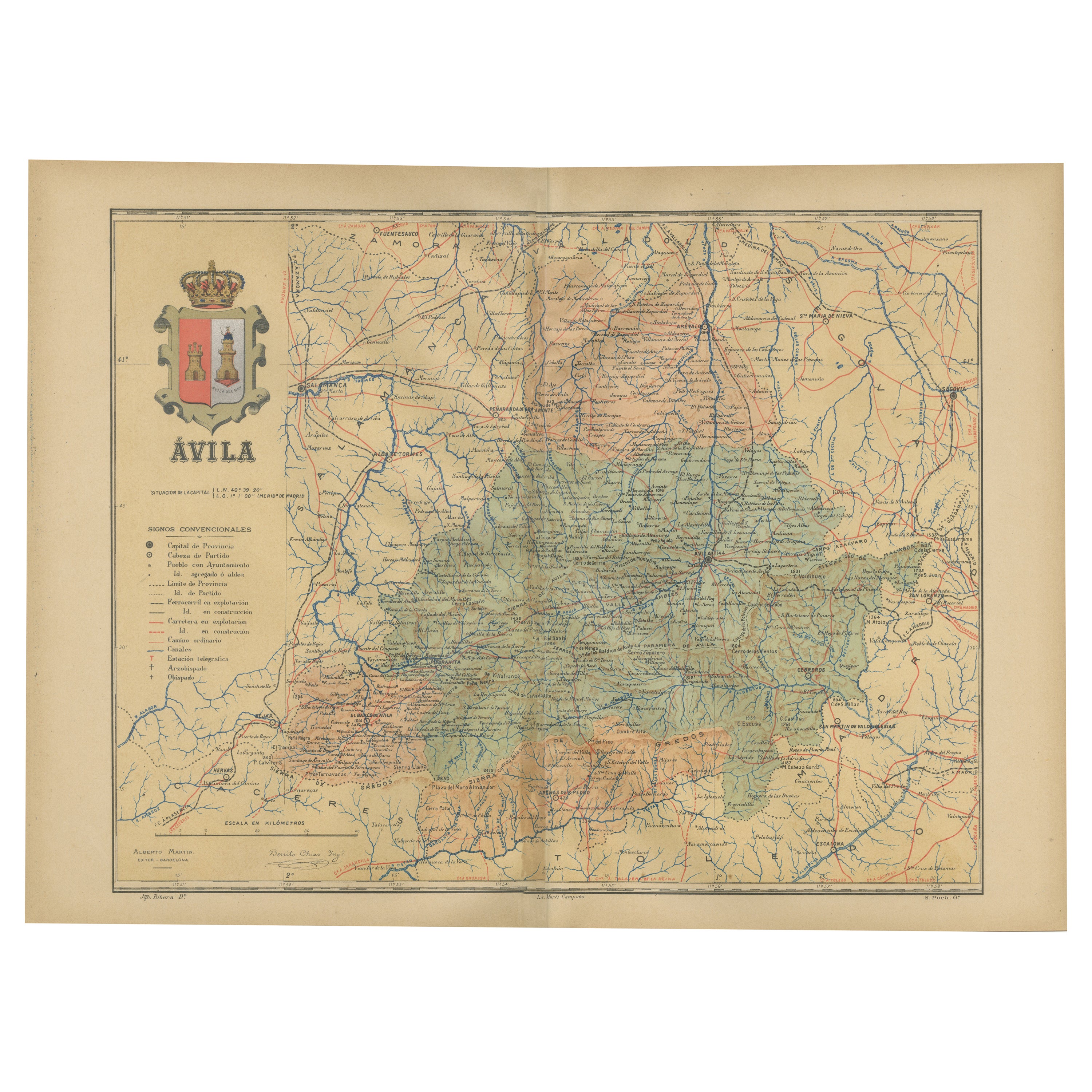
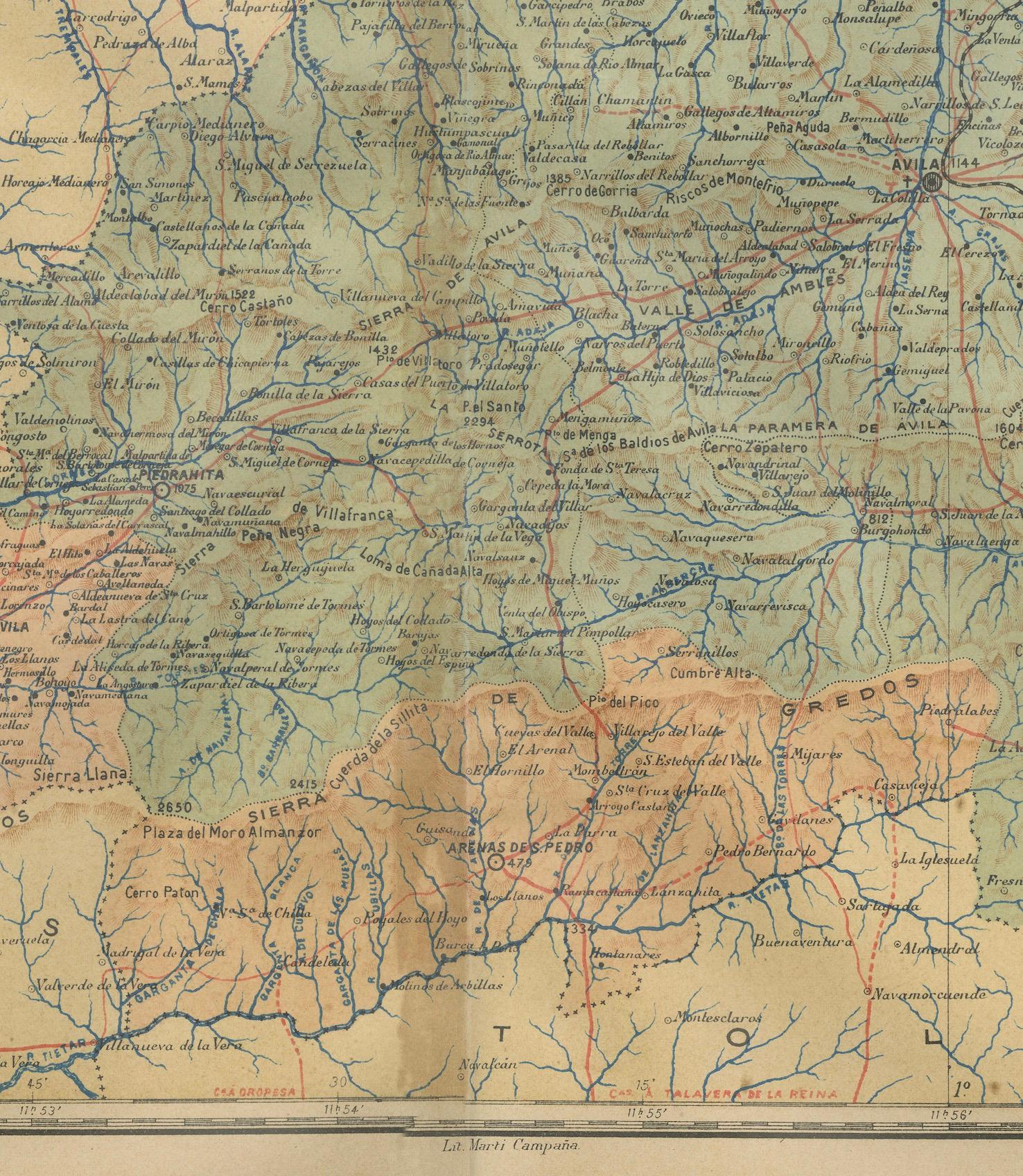
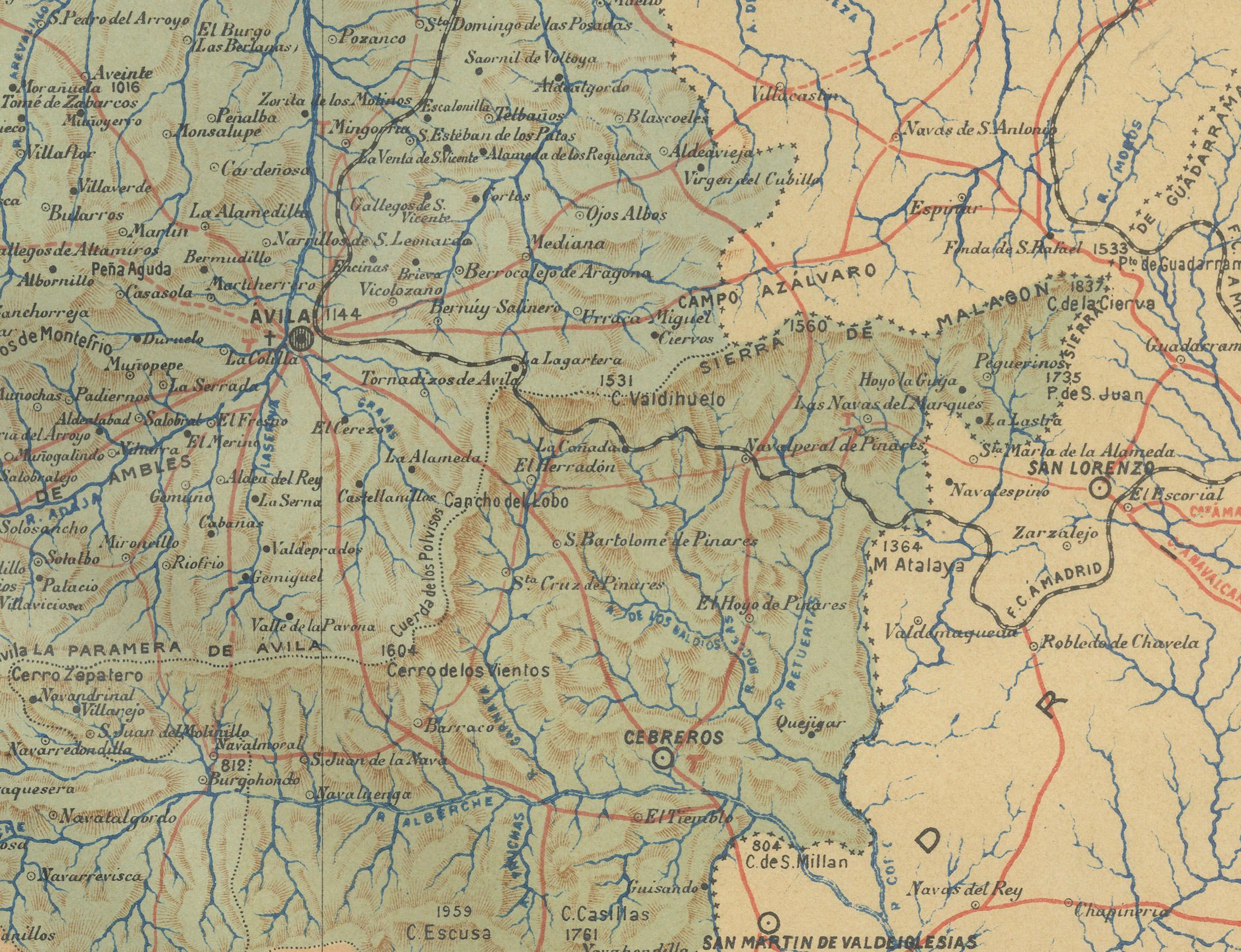
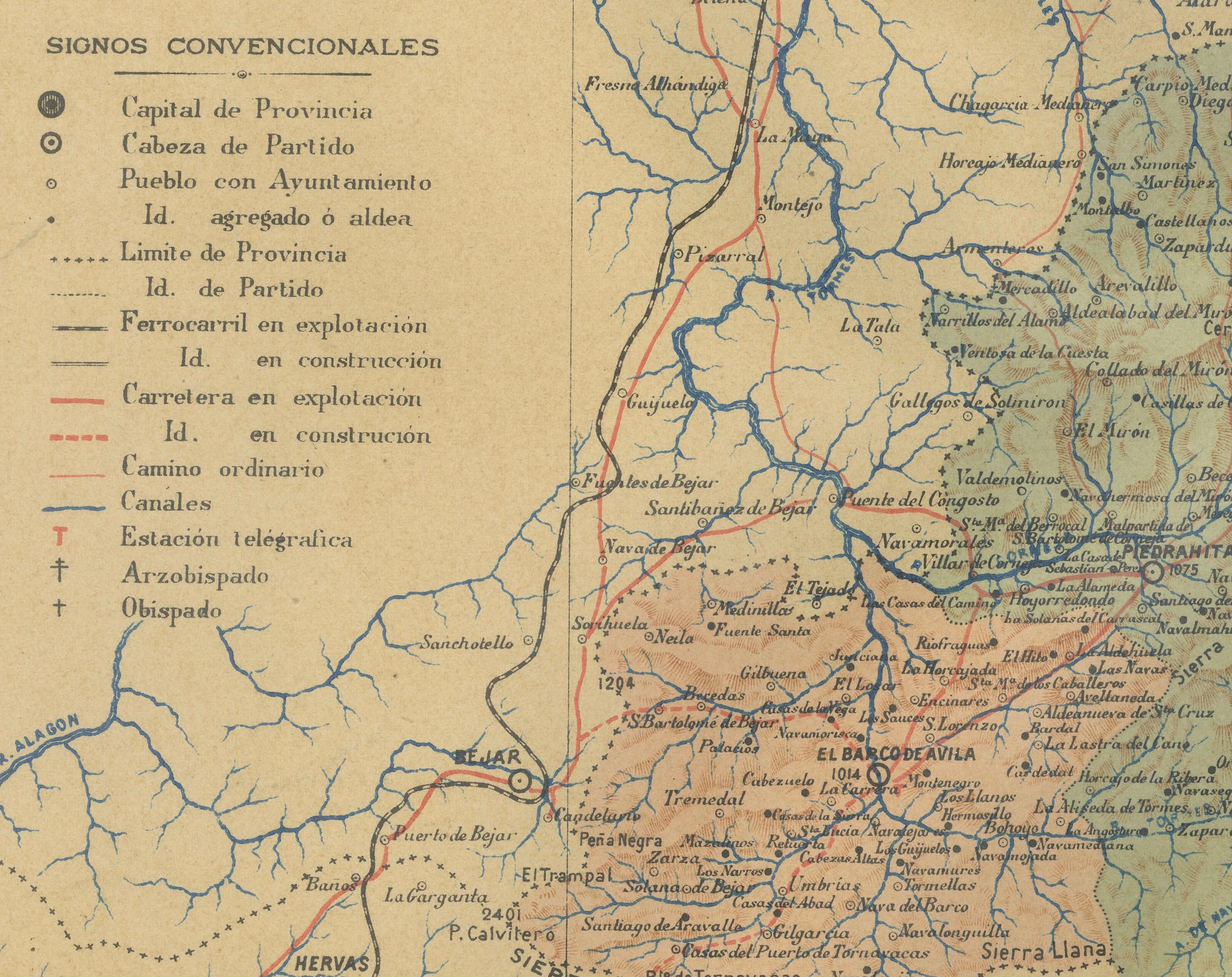
The map is of the province of Ávila, one of the provinces of the autonomous community of Castile and León in Spain, and it is dated from 1902. The map illustrates several geographic and man-made features:
It shows the varying elevations within the province, with mountain ranges prominently displayed, likely including parts of the Sierra de Gredos.
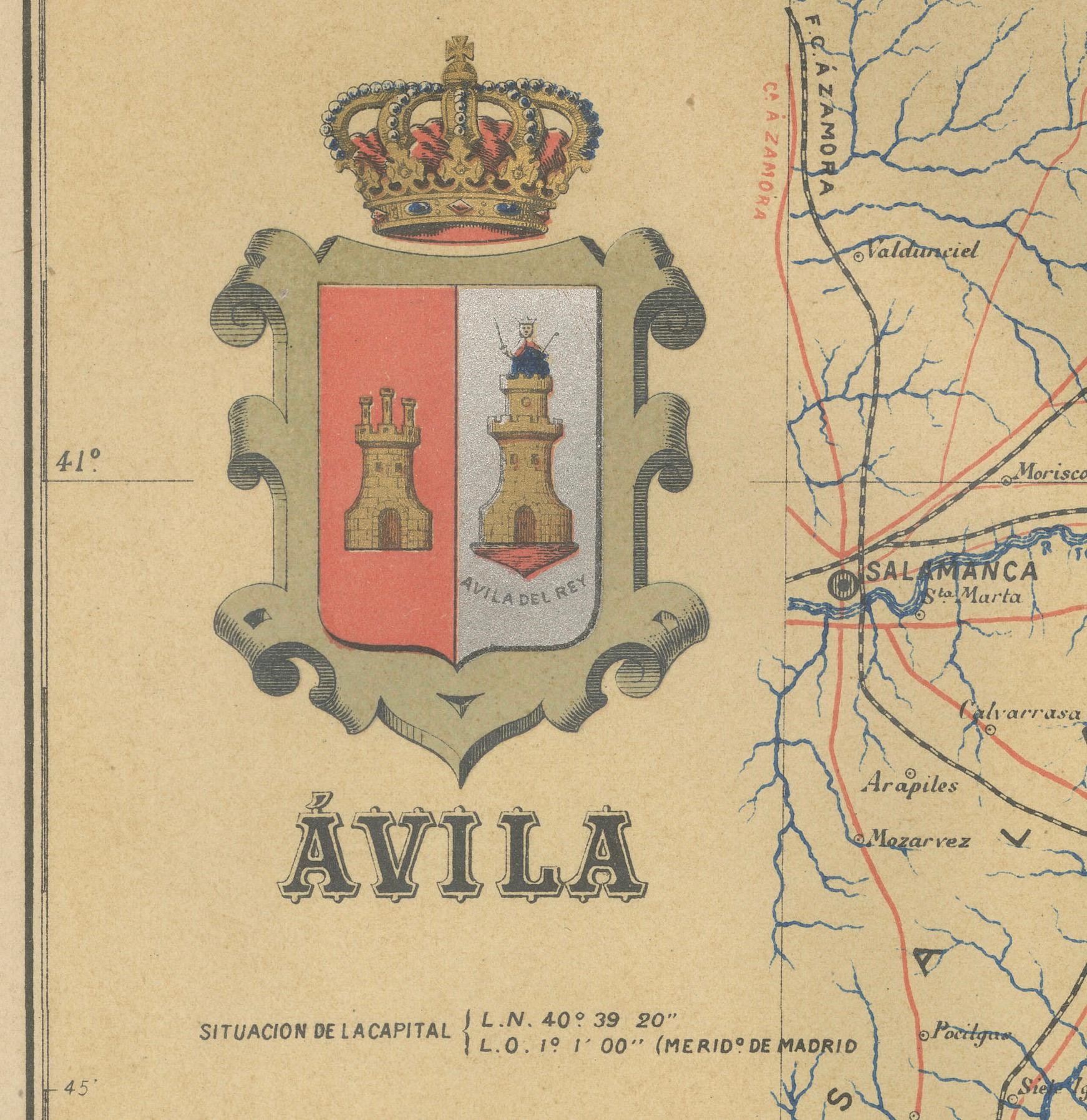
The gold highlighted coat of arms of Ávila is prominently displayed in the upper left corner, featuring elements that are likely of historical and cultural significance to the province.
About the province of Ávila:
Ávila is known for its medieval city walls, which are among the best-preserved in Spain and have been designated a UNESCO World Heritage Site. The capital city, also named Ávila, is famous for being the birthplace of Saint Teresa of Jesus, an important Catholic saint, and for its Romanesque and Gothic churches.
The province itself is characterized by a rugged landscape, with the Sierra de Gredos providing a dramatic backdrop and a haven for outdoor activities like hiking and bird watching. The economy historically has been based on agriculture, with a focus on livestock, especially the renowned Ávila beef.
Ávila's cultural heritage includes not only its impressive architecture but also its culinary traditions, with local dishes such as "Judías del Barco" (beans from Barco) and "Chuletón de Ávila" (Ávila T-bone steak) being well-known in Spanish gastronomy.