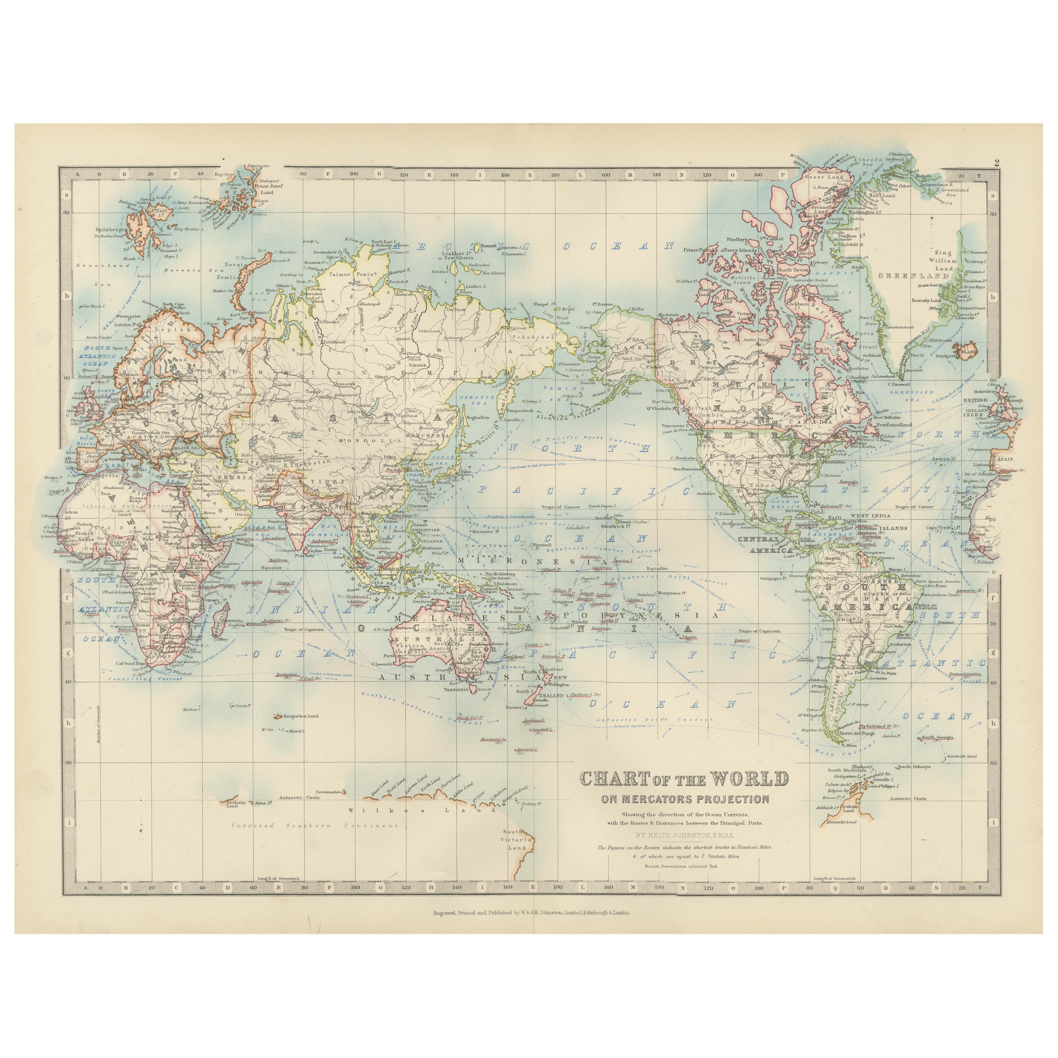
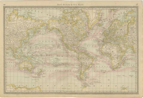
Antique World Map on Mercator's Projection, Ocean Currents and Trade Routes 1903
€ 280
One of a kind: this is the sheet in the photographs. Ships from Langweer, the Netherlands.
Date
1903
Sheet size
36.8 × 48 cm (14.5 × 18.9 in)
Condition
Good
Reference
BG-13577-2
Condition
This map is in good antique condition. Minor age-related foxing and toning are visible, typical for a piece of this vintage, but the map retains strong color and clear detail. Folding line as issued. Please study the scans carefully.
About this sheet
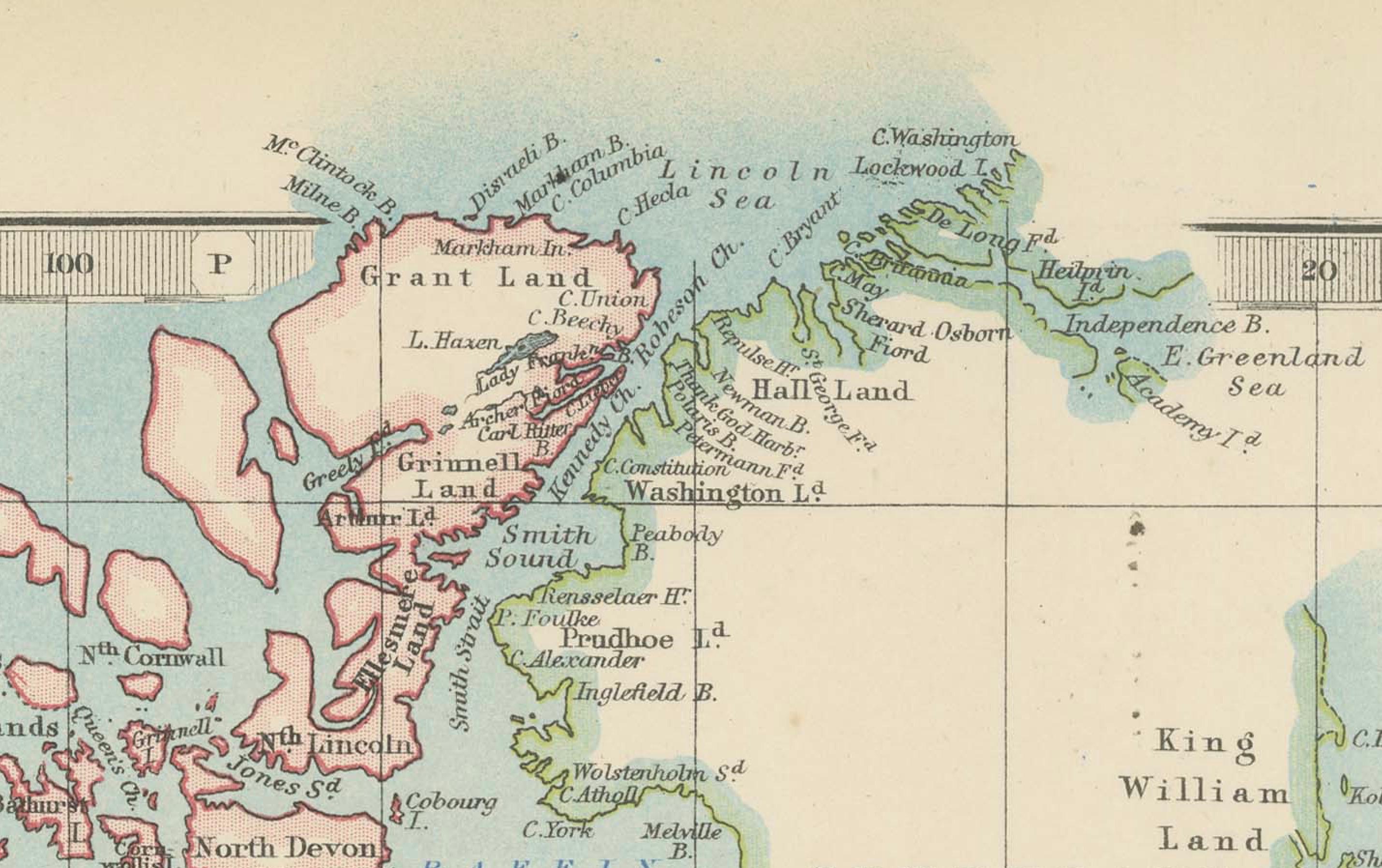
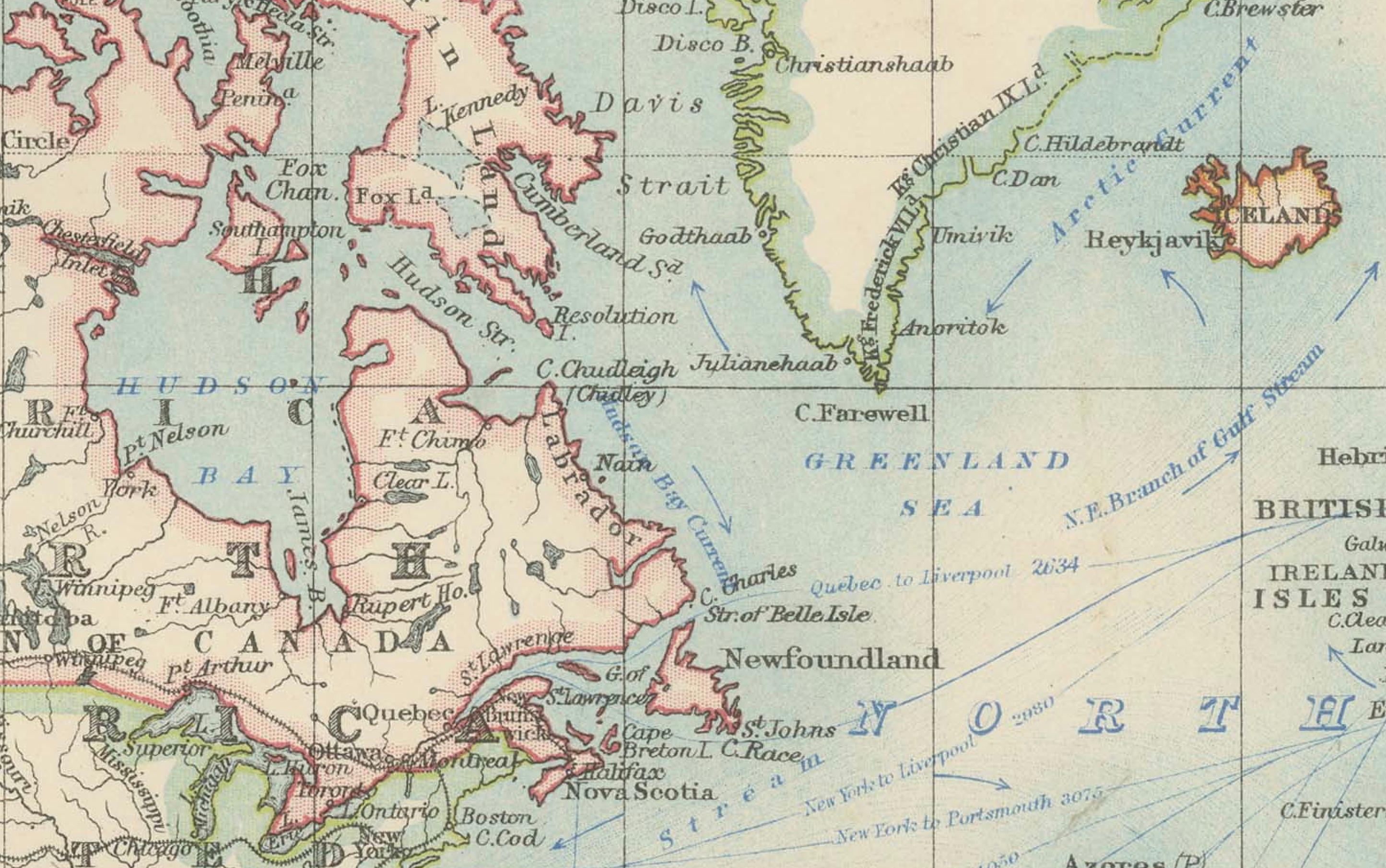
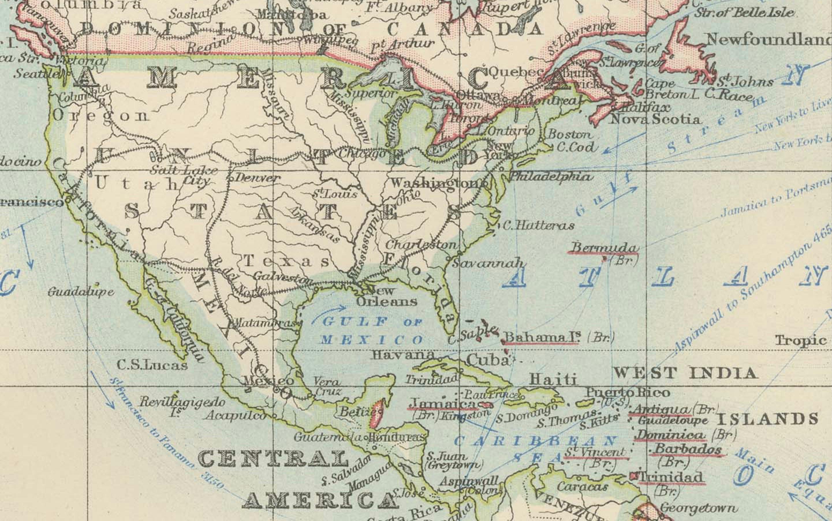
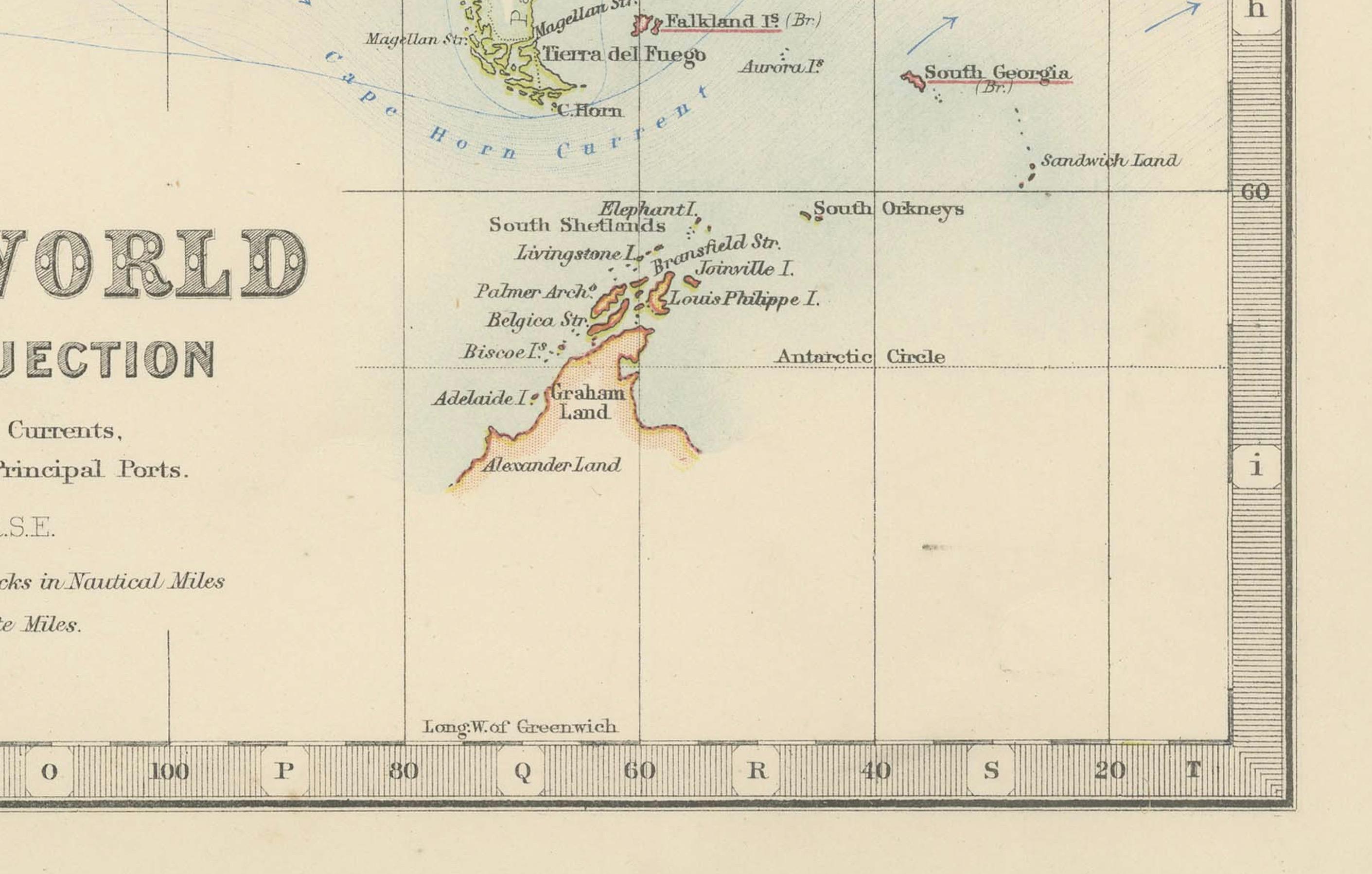
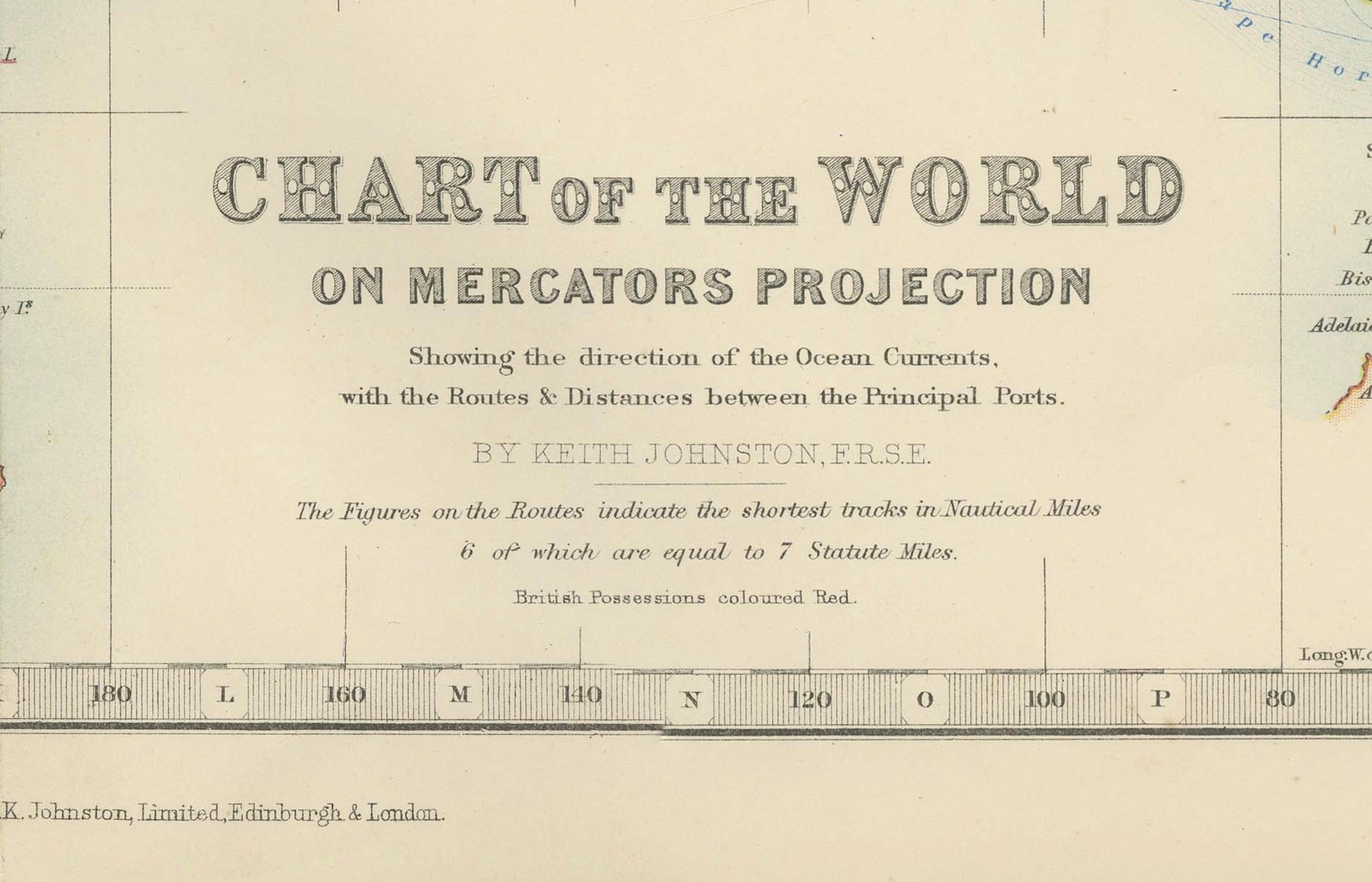
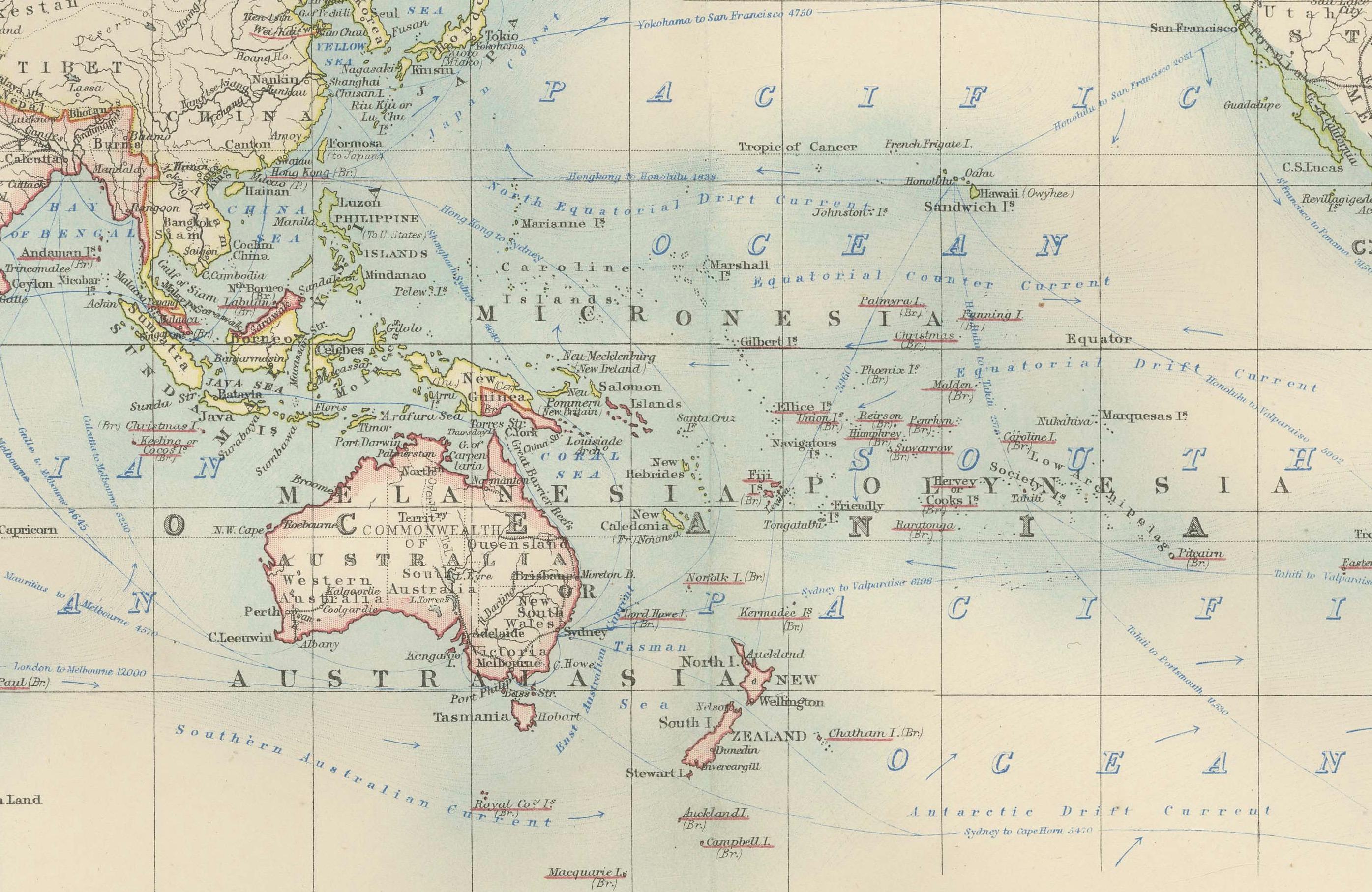
This antique map, titled "Chart of the World on Mercator's Projection," is an exceptional piece of cartographic history from the 1903 edition published by W. & A.K. Johnston in Edinburgh and London. This detailed map offers a comprehensive view of the world at the turn of the 20th century, depicted using the Mercator projection that was favored for its accurate representation of navigational courses.
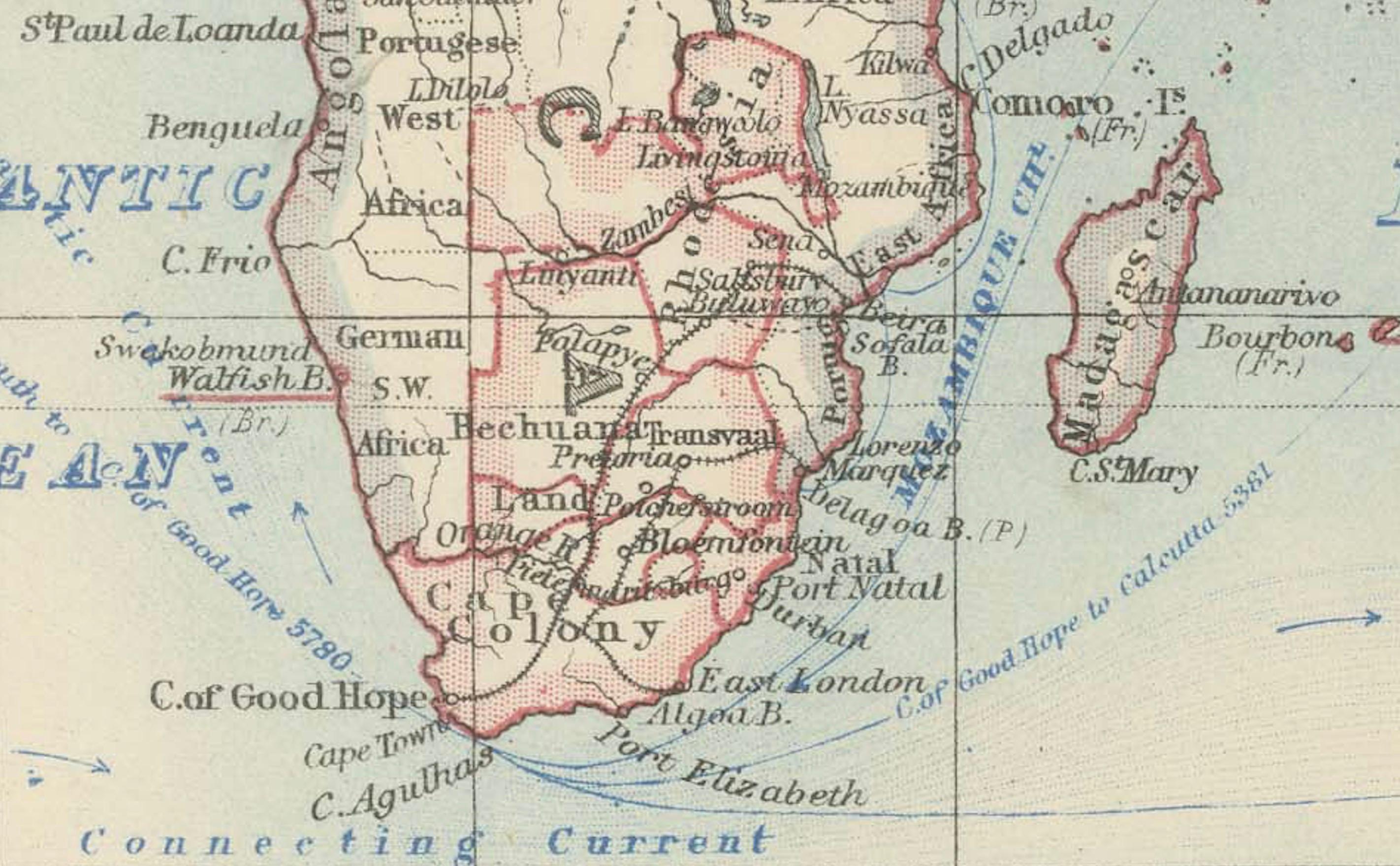
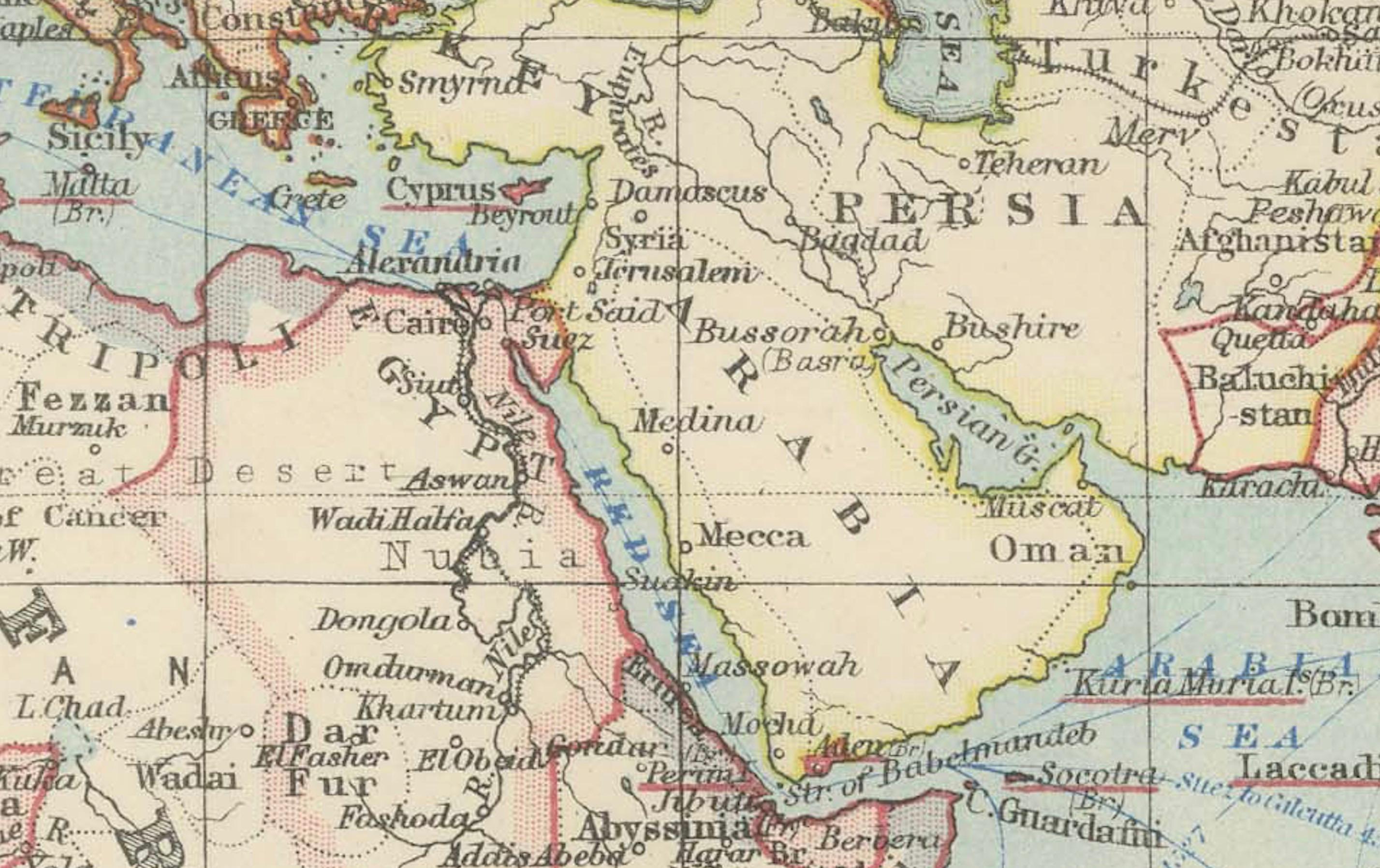
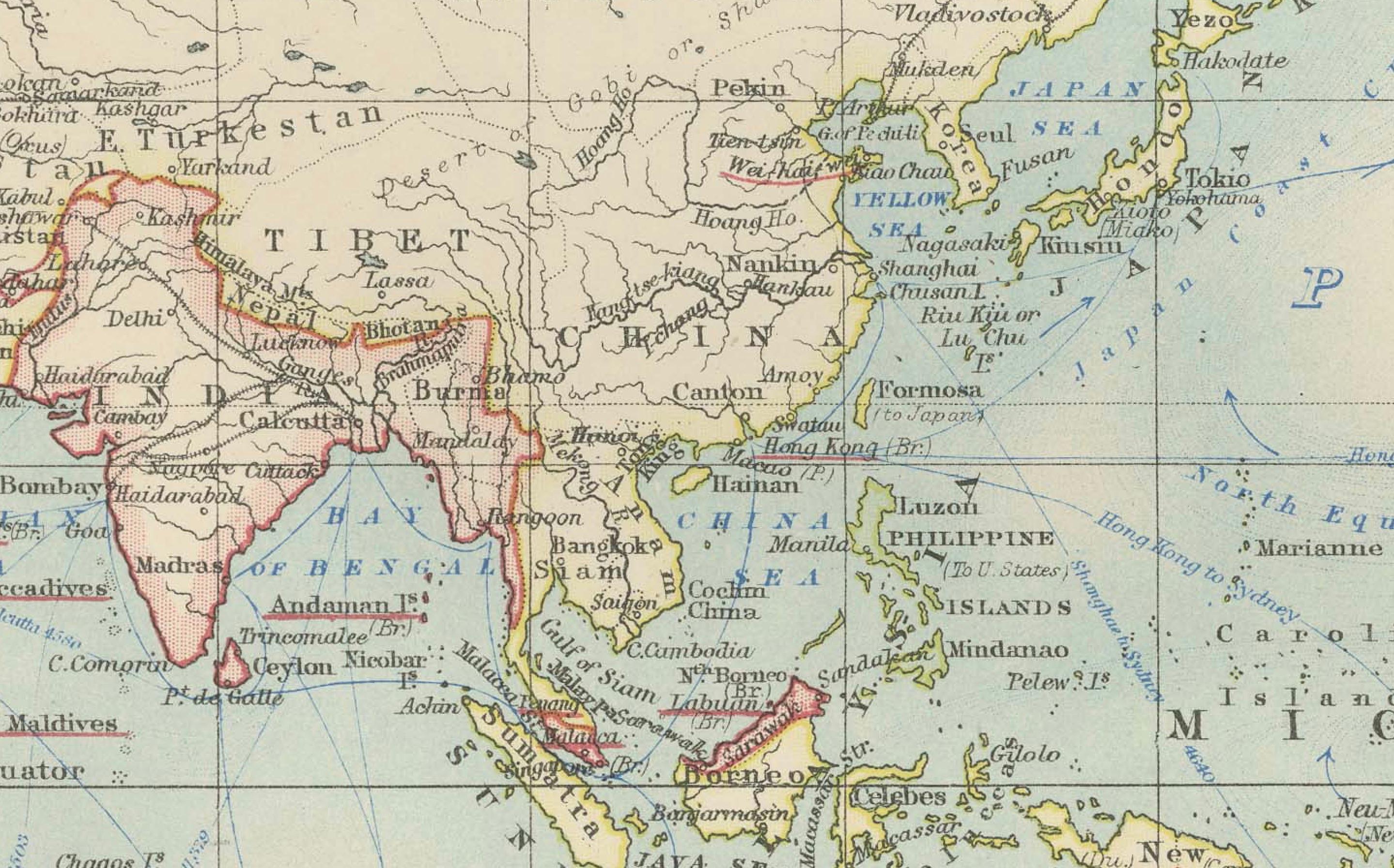
What makes this map particularly fascinating is its inclusion of ocean currents and trade routes, which were essential for global navigation and commerce during this era. The map meticulously traces the direction of ocean currents with flowing blue arrows, illustrating how maritime trade relied on these natural forces to connect continents and empires. Shipping lanes and submarine telegraph cables are also indicated, highlighting the technological advances and expanding global networks of the early 20th century.
The coloring of the map is gentle and refined, with continents outlined in muted pastel shades of pink, green, and yellow. This elegant coloring scheme, combined with the precise typography and detailed topographical features, makes the map not only an informative document but also an attractive work of art suitable for display.
This map offers a rare glimpse into the geopolitical and scientific understanding of the world over 120 years ago. The boundaries and political divisions of the time reflect the colonial empires and spheres of influence, revealing a world on the cusp of enormous political and technological changes. For collectors, historians, and map enthusiasts, this piece is a window into the global connectivity and the ambitions of an era marked by exploration and industrial growth.
Condition report: This map is in good antique condition. Minor age-related foxing and toning are visible, typical for a piece of this vintage, but the map retains strong color and clear detail. Folding line as issued.
Framing tips: Consider a dark wood frame, such as walnut or cherry, to enhance the classic look of the map. A light cream or ivory matting will complement the soft pastel colors and lend a refined presentation, making this map an eye-catching and historically significant addition to any space.