

Maps & PrintsBartele Gallery · Langweer
Home / Antique Maps / World Maps

World Maps

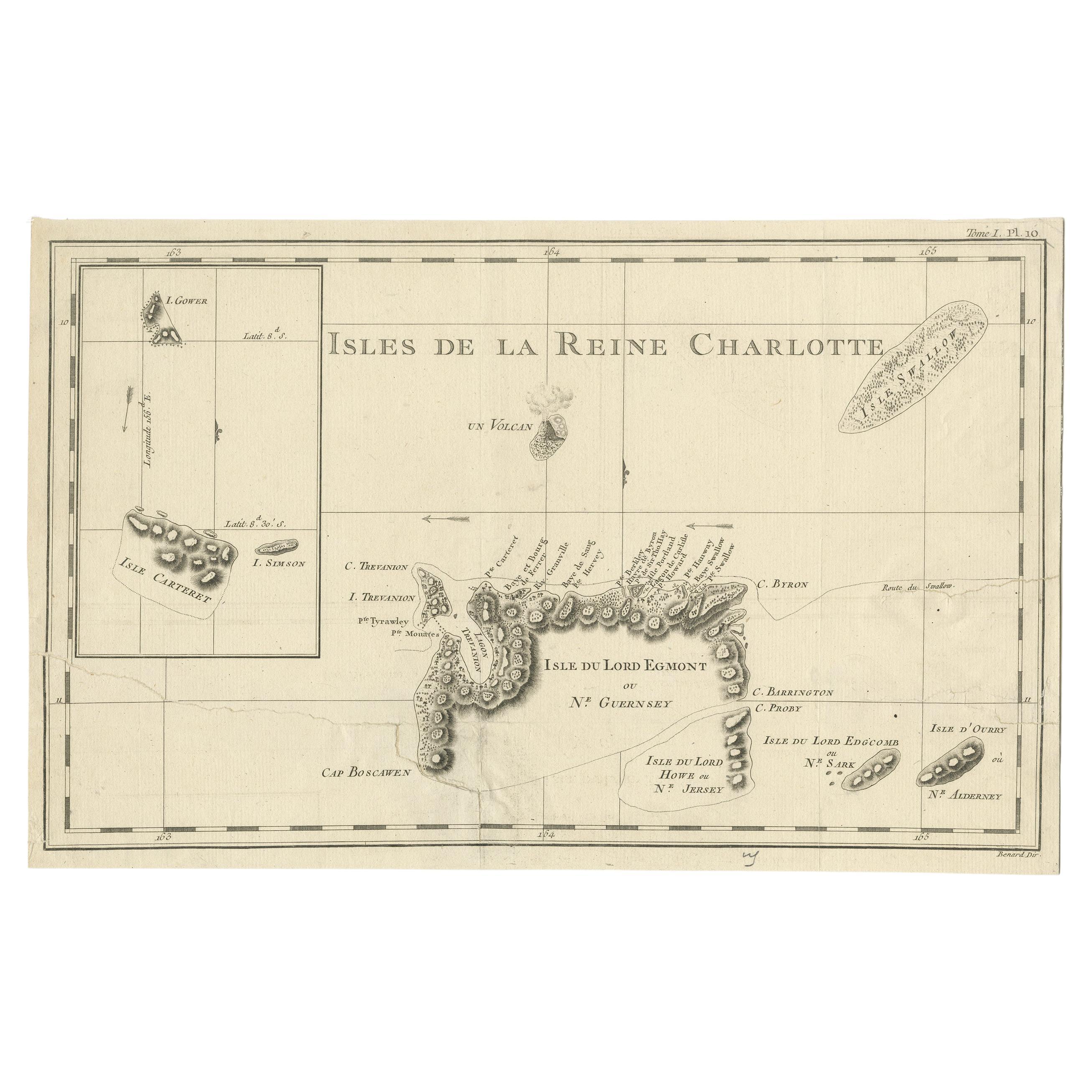
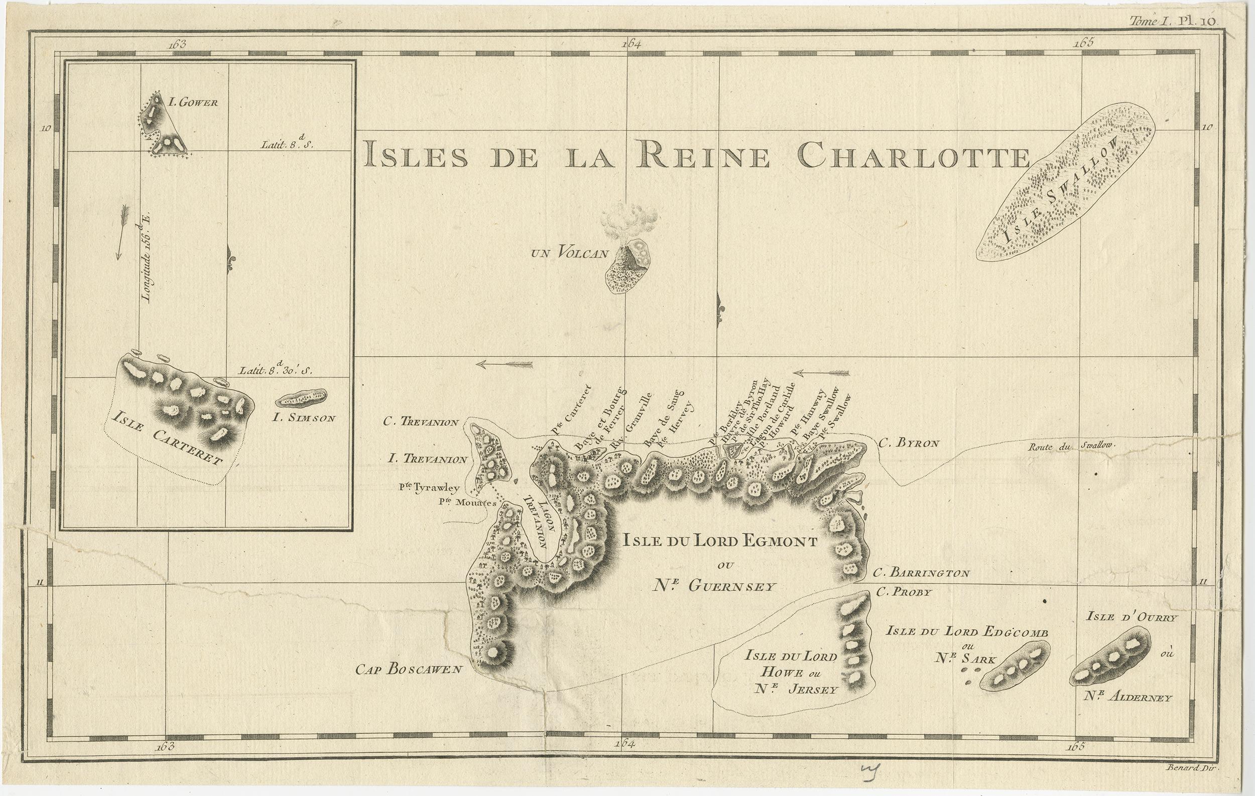
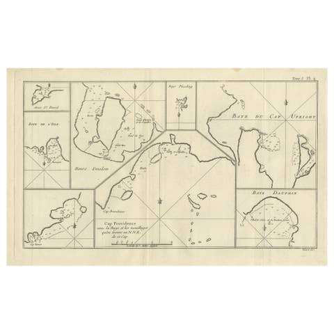
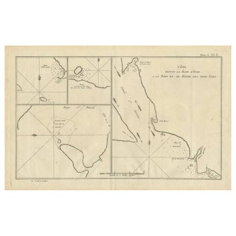
Antique Map of the Santa Cruz Islands with Inset of Carteret and Gower Islands

€ 300

One of a kind: this is the sheet in the photographs. Ships from Langweer, the Netherlands.

Sheet size
25.5 × 40.5 cm (10.0 × 15.9 in)
Condition
Fair
Reference
BG-12707-97

Condition

Repaired: Large closed tears affecting image. General age-related toning. Large closed tears affecting image. Shows some wear and soiling, blank verso. Please study image carefully.
About this sheet

Antique map titled 'Isles de la Reine Charlotte (..)'. A detailed chart of the Santa Cruz islands, to the north of the New Hebrides, with Carteret's track in "Swallow"; including an inset chart of Carteret and Gower Islands. Relief is shown by hachuring; vegetation is marked by small tree-symbols, revealing that the tops of the mountains were wooded. Along the explored coast of the "Isle Du Lord Egmont", palm trees and huts have been drawn, perhaps marking native settlements. A particularly detailed volcano spewing smoke is shown in profile to the North of this island. Prevailing winds are marked with arrows.

Published in an edition of John Hawkesworth's atlas to accompany a French edition of Captain James Cook's voyages to the Southern Hemisphere. Published 1774.

More from World Maps

Ask about this sheet

Antique Map of the Santa Cruz Islands with Inset of Carteret and Gower Islands
Ref. BG-12707-97 · € 300
We reply by email, usually within one working day.