

Maps & PrintsBartele Gallery · Langweer
Home / Antique Maps / World Maps

World Maps

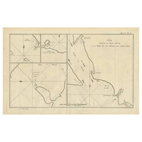
Antique Map of Cap Providence, St. David's Cove and Surroundings

€ 360

One of a kind: this is the sheet in the photographs. Ships from Langweer, the Netherlands.

Sheet size
25.2 × 42 cm (9.9 × 16.5 in)
Condition
Good
Reference
BG-12707-102

Condition

General age-related toning. Few small stains in margins and small defect in right margin. Minor wear and soiling, blank verso. Please study image carefully.
About this sheet

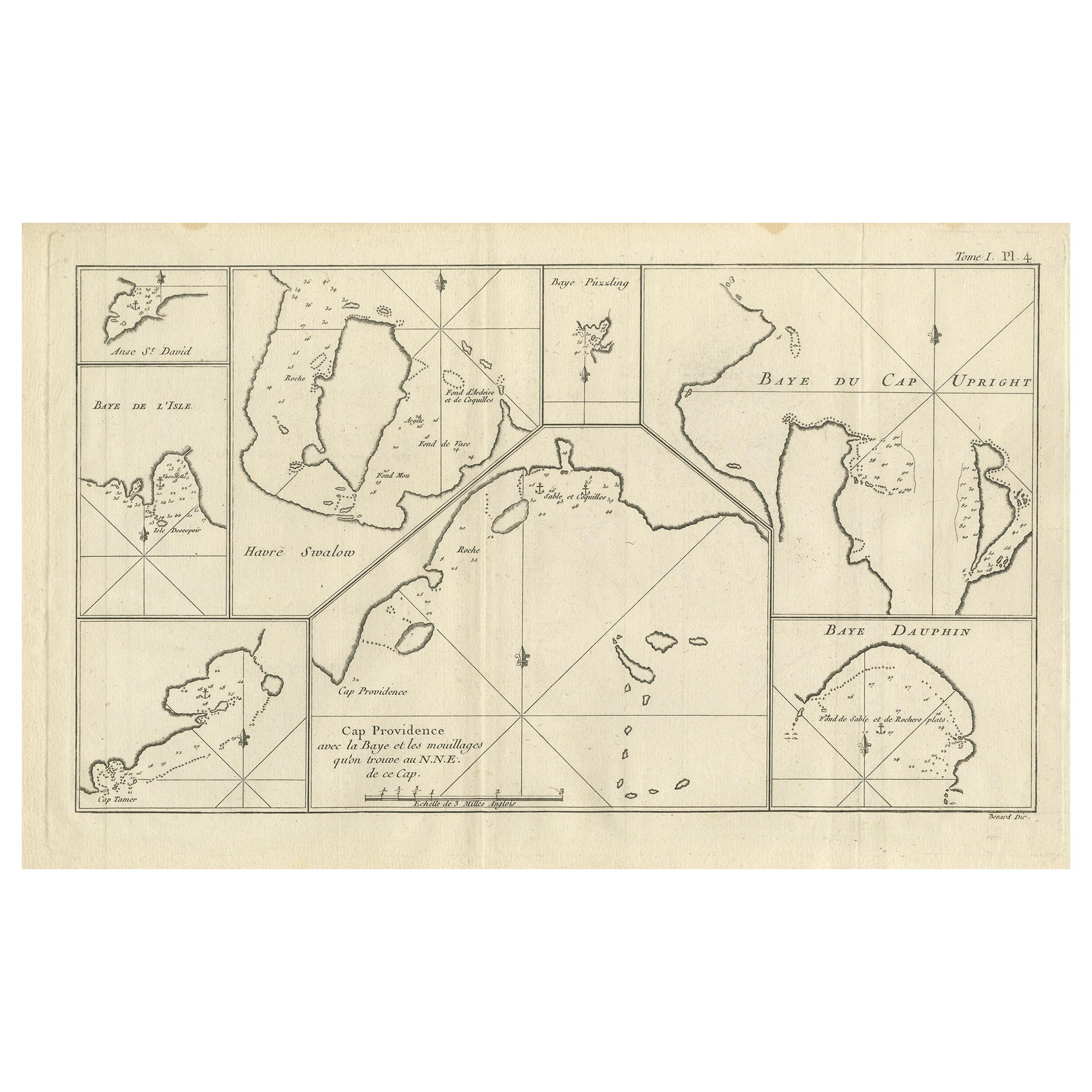
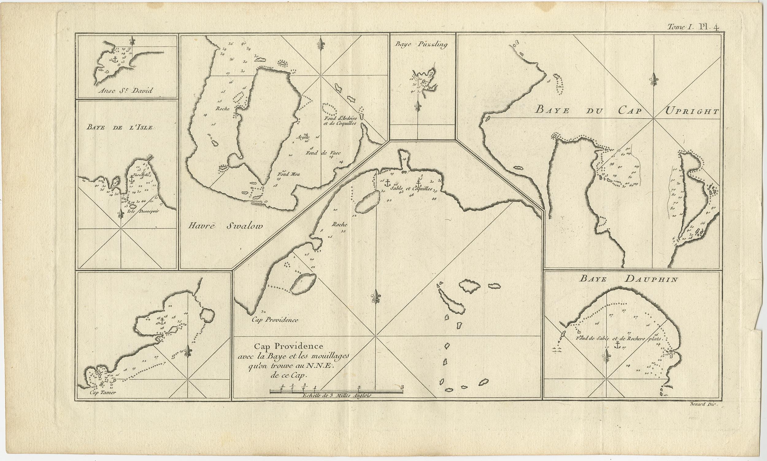
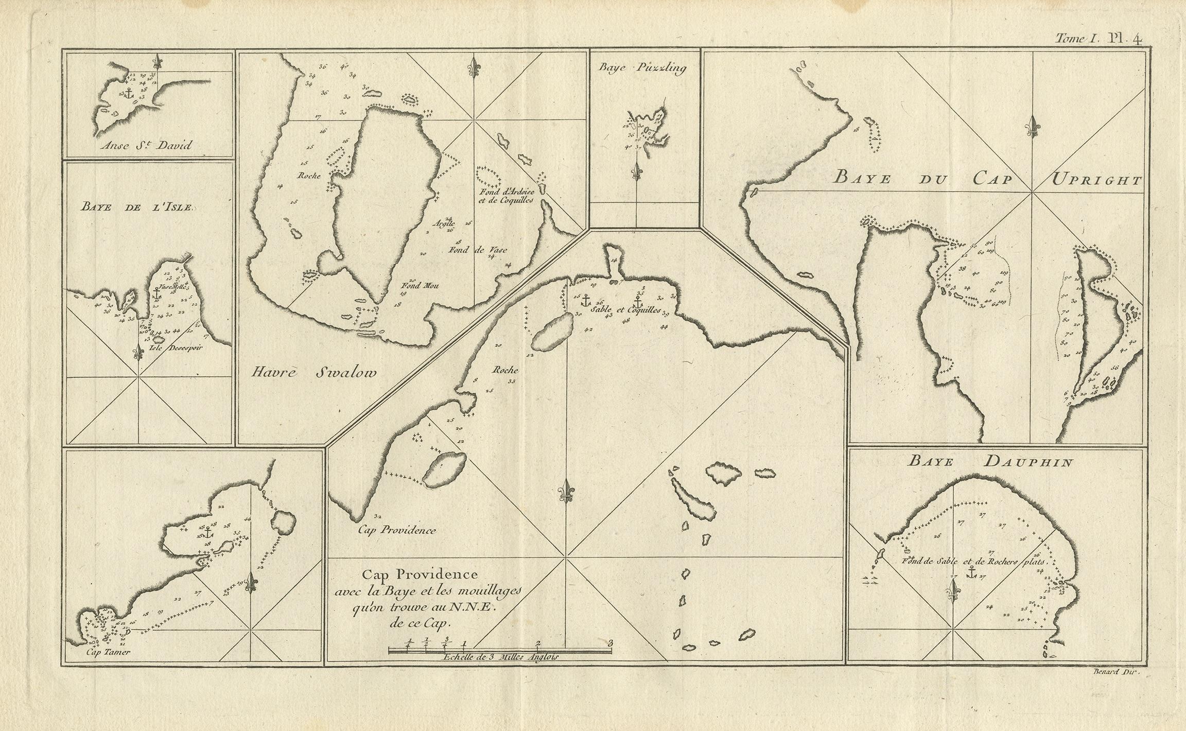
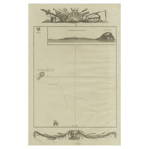
Antique map titled 'Baye du Cap Upright (..)'. Eight charts on one sheet of Cap Providence, St. David's Cove, the Bay of the Island, Swallow's Haven, Puzzling Bay, Baye du Cape Upright 's Bay, Dauphina's Bay. This map originates from the French edition of 'An Account of the Voyages Undertaken by the Order of His Present Majesty for Making Discoveries in the Southern Hemisphere' by John Hawkesworth. Published circa 1774.

More from World Maps

Ask about this sheet

Antique Map of Cap Providence, St. David's Cove and Surroundings
Ref. BG-12707-102 · € 360
We reply by email, usually within one working day.