
Maps & PrintsBartele Gallery · Langweer
Home / Antique Maps / World Maps

World Maps

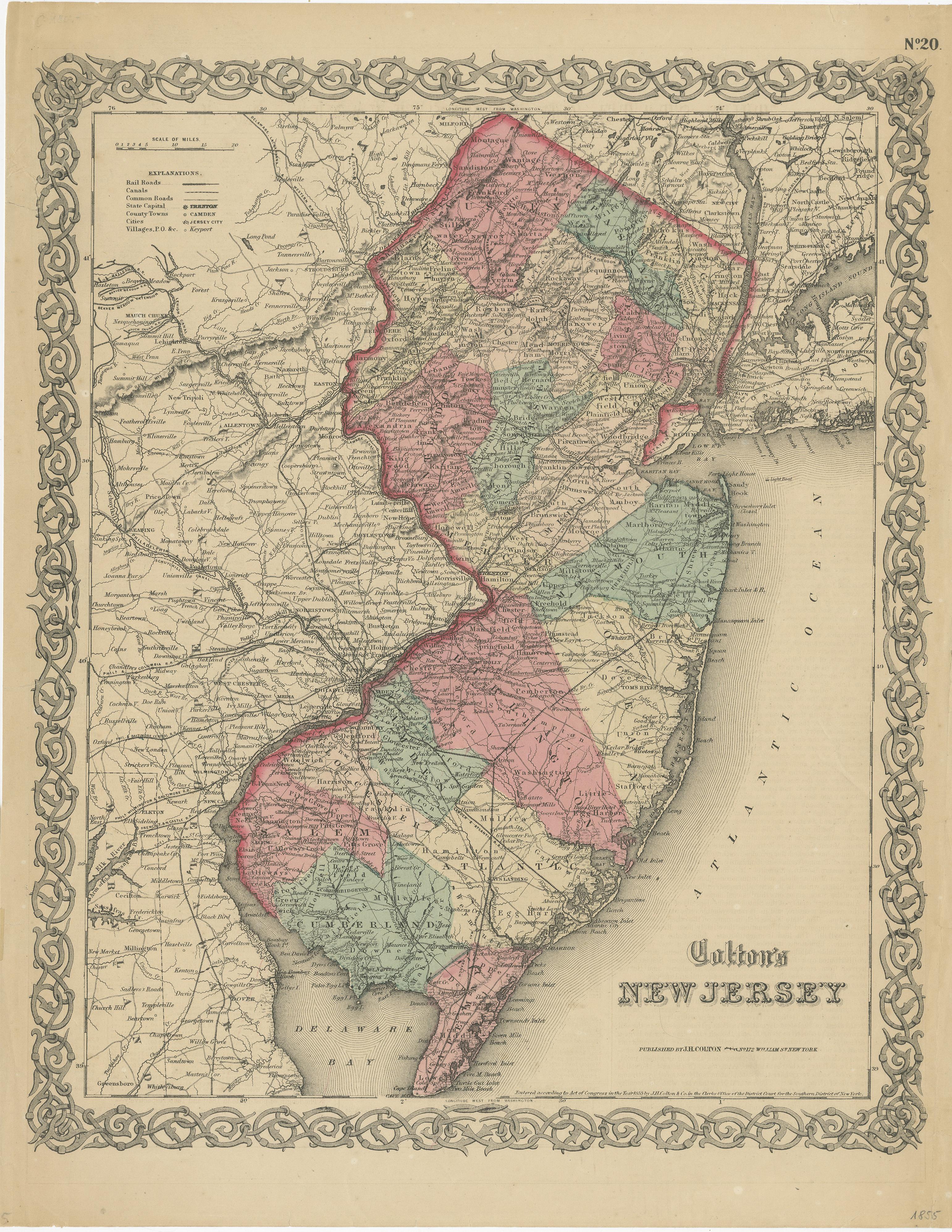
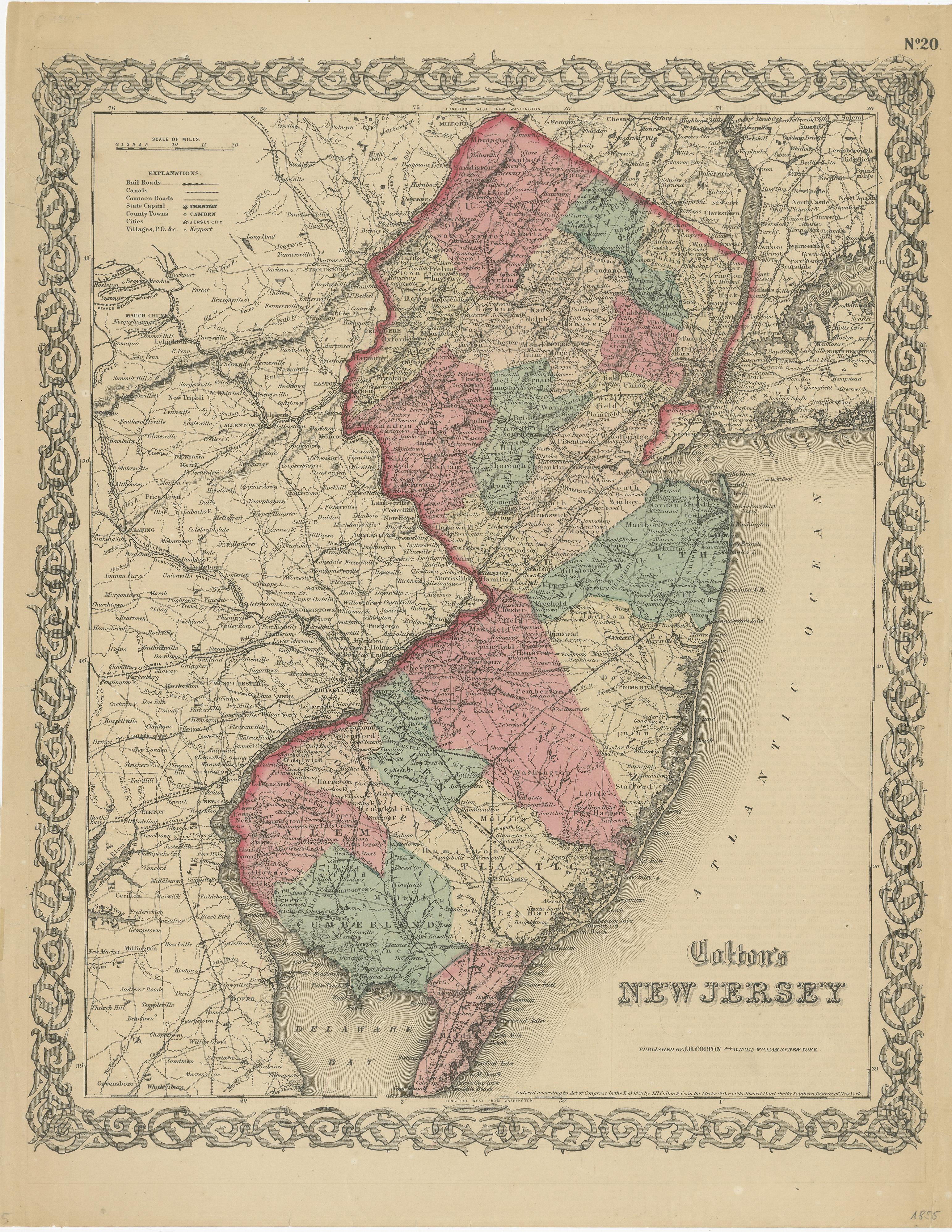
Antique Map of New Jersey

€ 200

One of a kind: this is the sheet in the photographs. Ships from Langweer, the Netherlands.

Sheet size
44.5 × 34.5 cm (17.5 × 13.6 in)
Condition
Fair
Reference
BG-13191-17A

Condition

Repaired. Wear consistent with age and use. Age-related toning. Shows some wear and soiling. Several repaired (small) tears in margins, including a larger tear sl. affecting image top left. English text on verso. Please study image carefully.
About this sheet

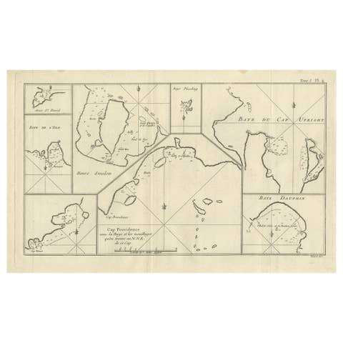
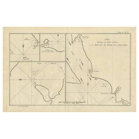
Antique map titled 'Colton's New Jersey'. This rare hand colored map of New Jersey is a copper plate engraving dating to 1855. Produced by the important mid 19th century American map publisher J. H. Colton. Covers the region in considerable detail, documenting roads, railroads, canals, counties and topographical features. This map originates from 'Colton's General Atlas Of The World'. Published 1855.

More from World Maps

Ask about this sheet

Antique Map of New Jersey
Ref. BG-13191-17A · € 200
We reply by email, usually within one working day.