
Maps & PrintsBartele Gallery · Langweer
Home / Antique Maps / World Maps

World Maps

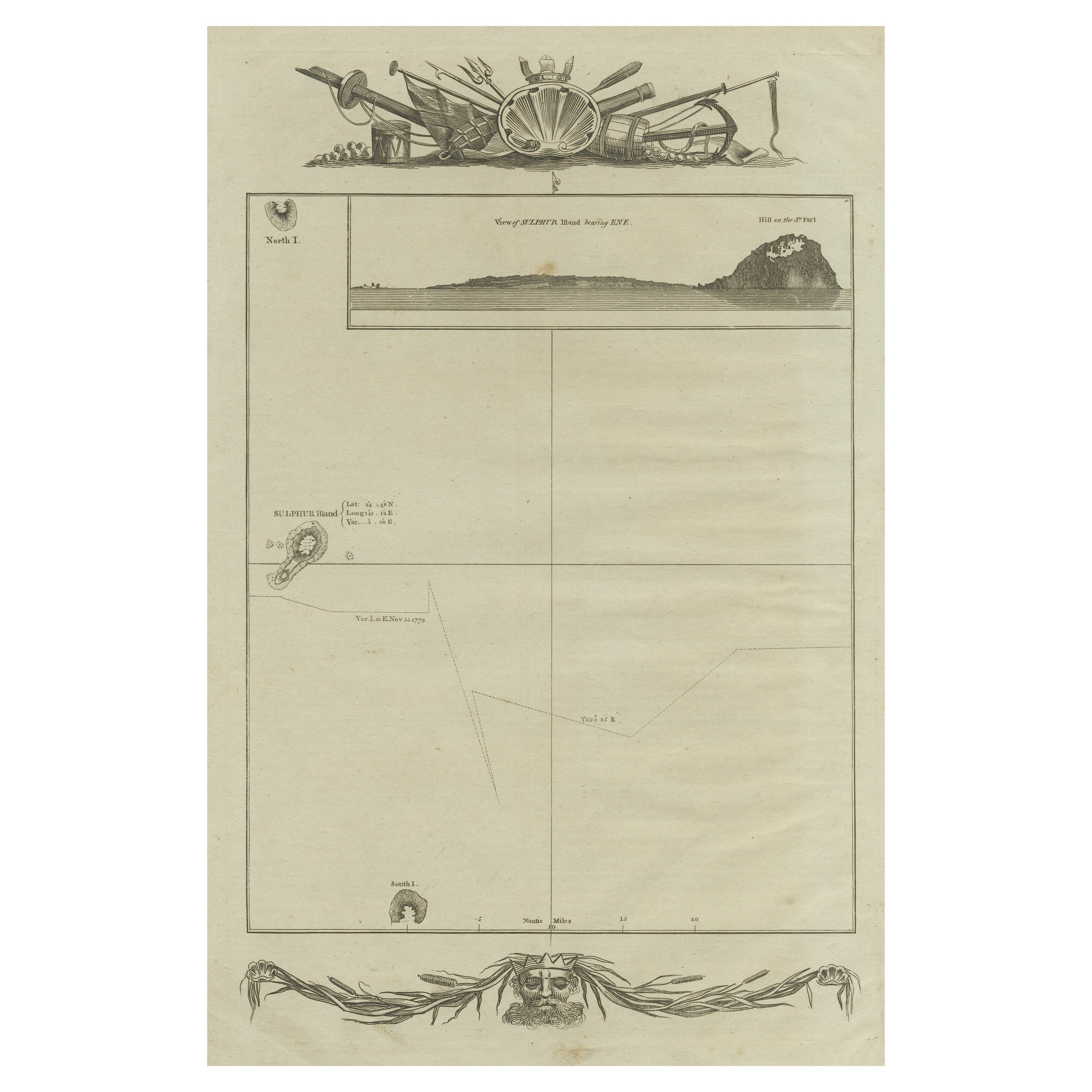
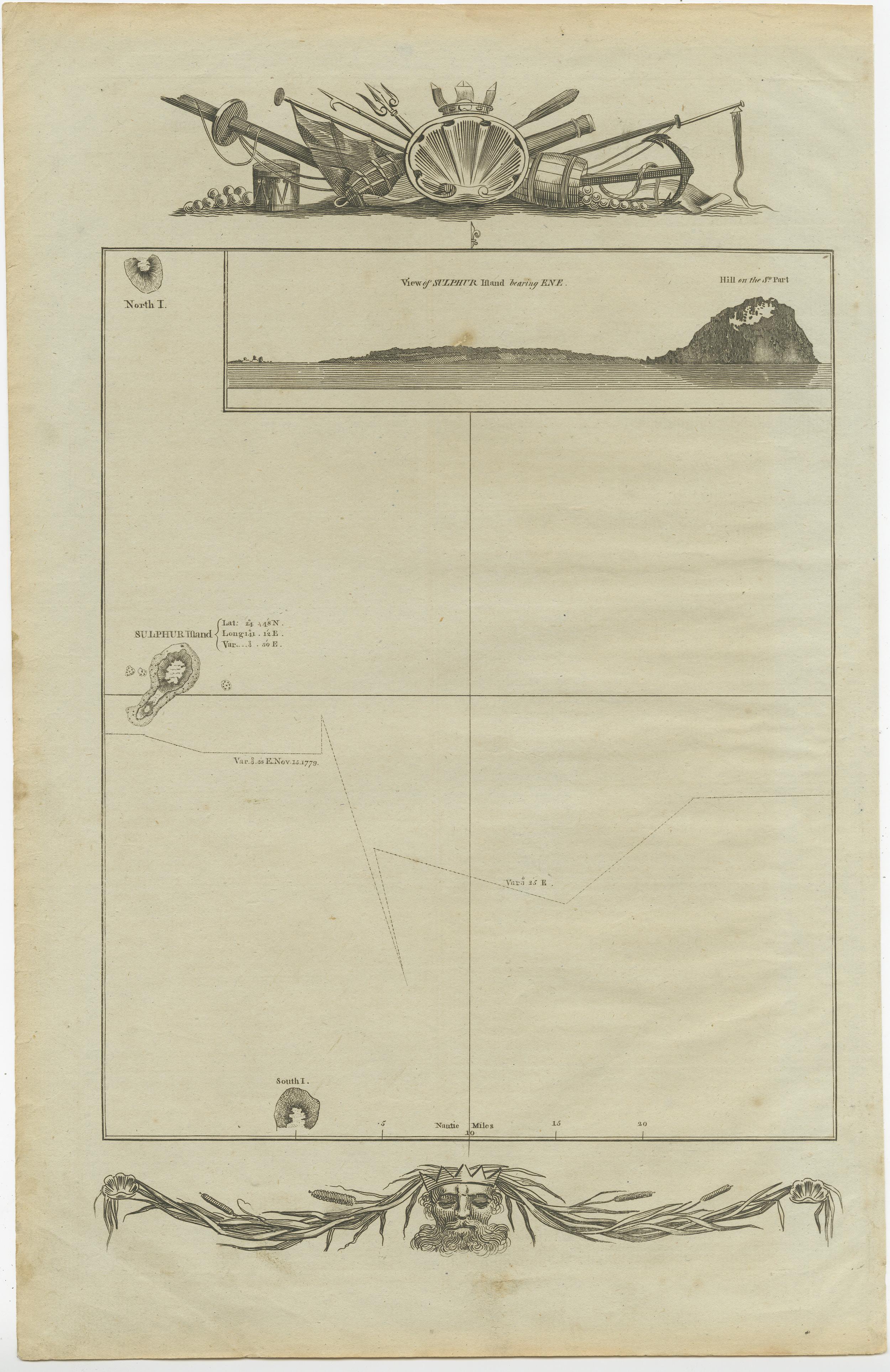
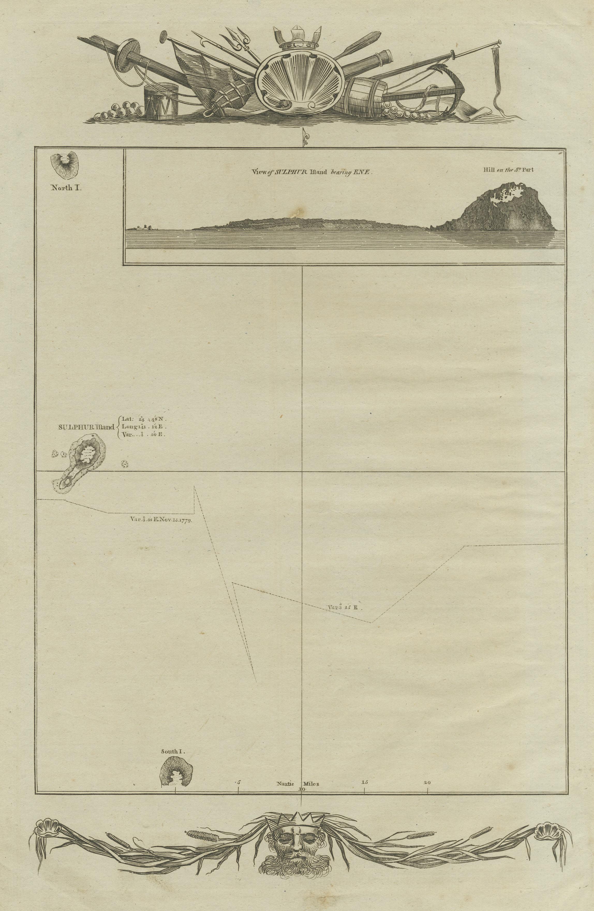
Antique Map of the Islands of Iwo Jima and Sulfur

€ 260

One of a kind: this is the sheet in the photographs. Ships from Langweer, the Netherlands.

Sheet size
38.8 × 25 cm (15.3 × 9.8 in)
Condition
Fair
Reference
BG-12707-105

Condition

Age-related tonign. Shows some wear and foxing. Blank verso. Please study image carefully.
About this sheet

Untitled Antique Map of the islands of Iwo Jima and Sulfur, with a view of Sulphur with the hill. This map originates from 'A new, authentic, and complete collection of voyages round the world : undertaken and performed by royal authority : containing a new, authentic, entertaining, instructive, full, and complete historical account of Captain Cook's first, second, third, and last voyages' by G.W. Anderson. Published 1784-1786.

More from World Maps

Ask about this sheet

Antique Map of the Islands of Iwo Jima and Sulfur
Ref. BG-12707-105 · € 260
We reply by email, usually within one working day.