About this sheet
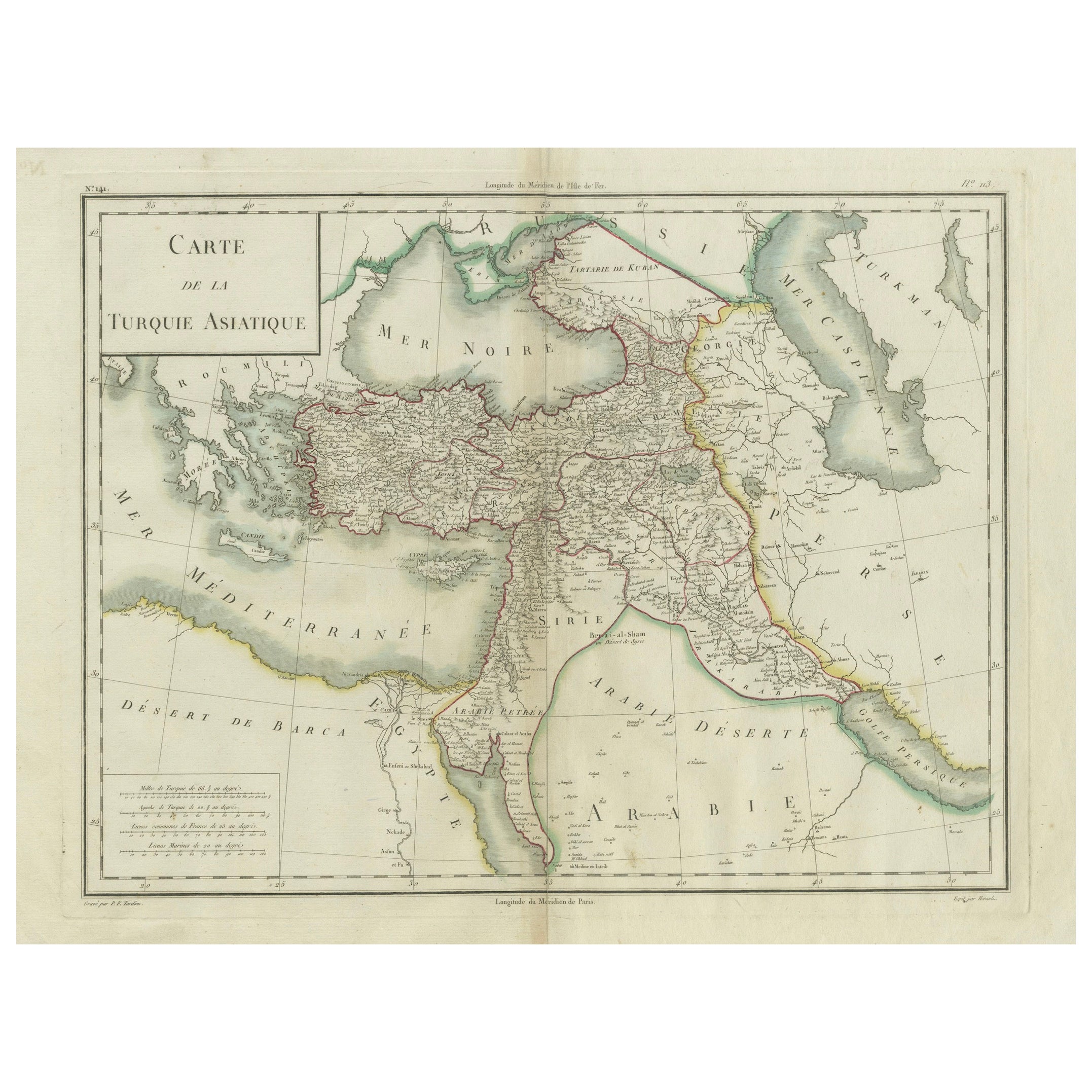
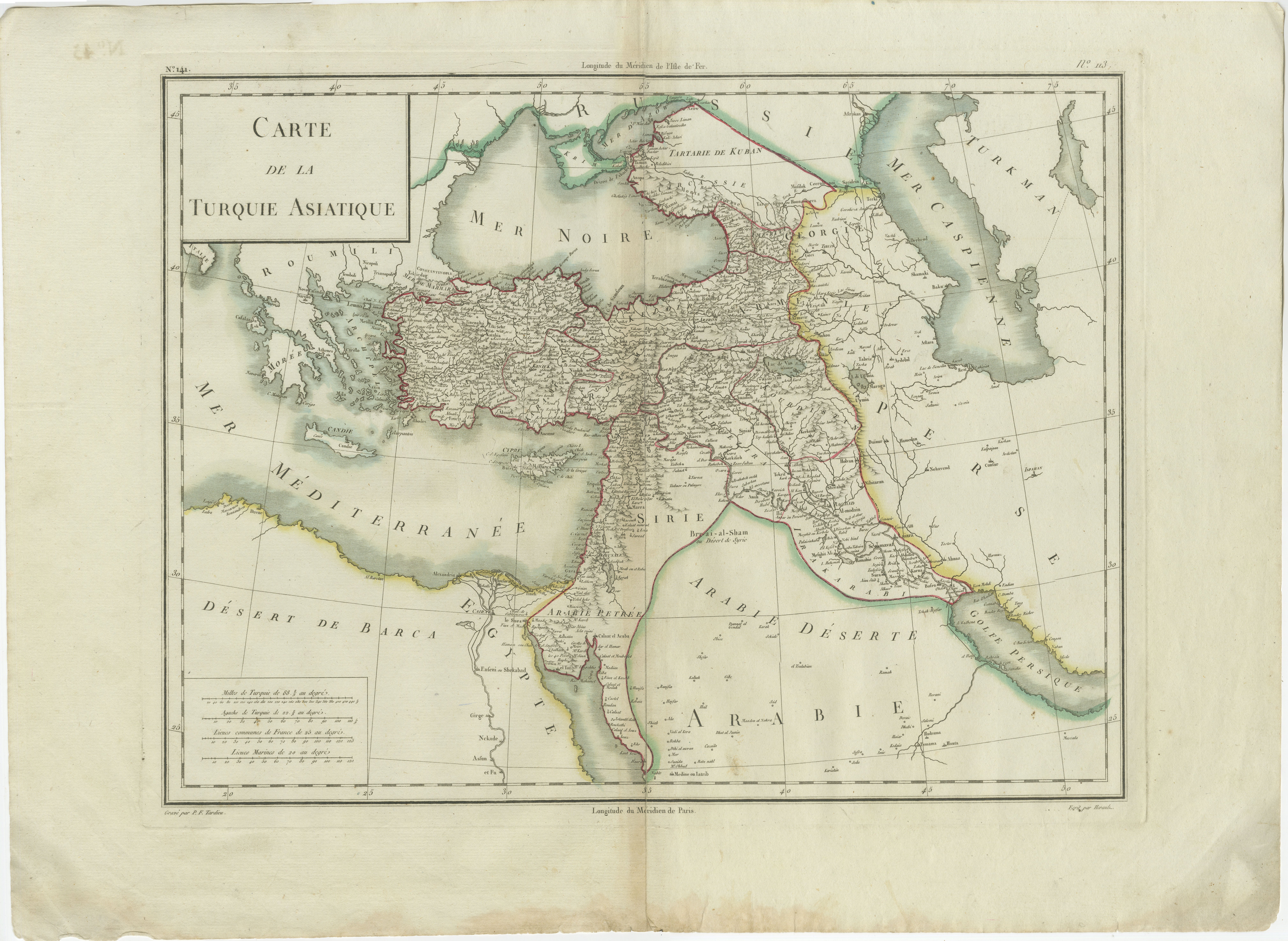
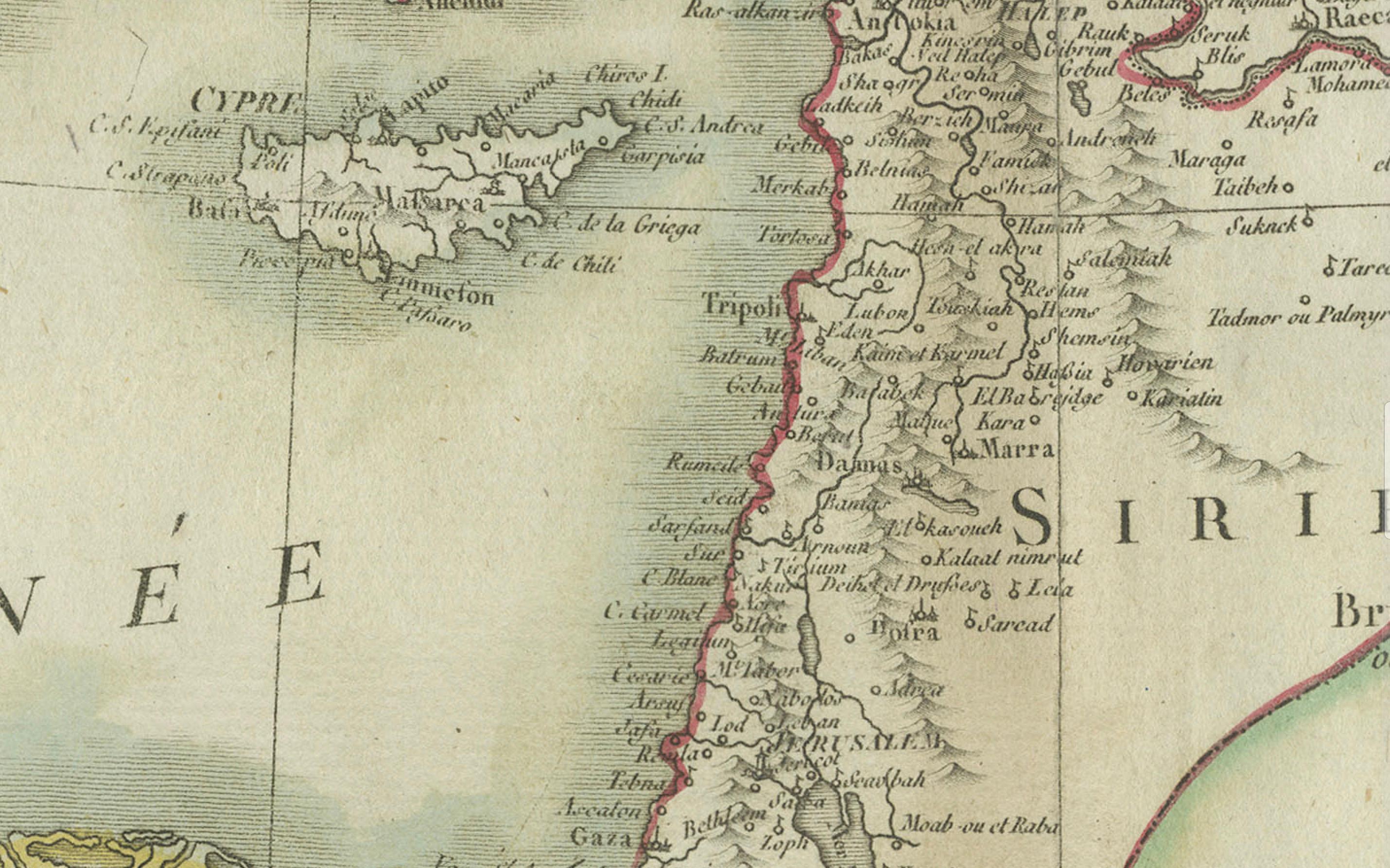
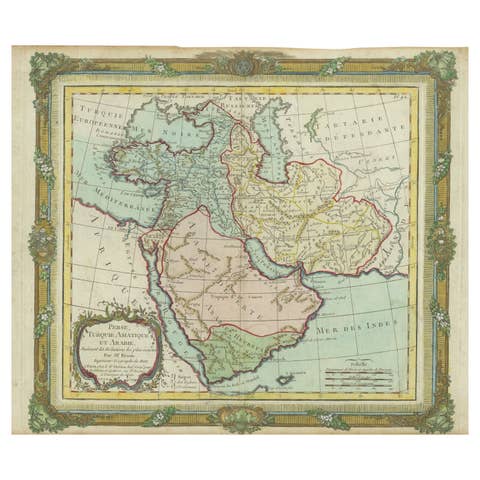
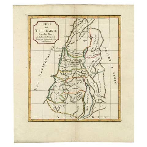
This is an original antique map titled "Carte de la Turquie Asiatique," depicting the Asian territories of the Ottoman Empire. Created by Pierre Antoine Tardieu, this map illustrates the vast expanse of the Ottoman Empire in Asia, including modern-day Turkey, the Levant, parts of the Arabian Peninsula, and adjacent regions.
Map Details:
* Title: Carte de la Turquie Asiatique
* Creator: Pierre Antoine Tardieu (1784–1869)
* Publication Date: Early 19th century
* Dimensions: Approximately 34.5 x 43.5 cm (13.5 x 17.25 inches)
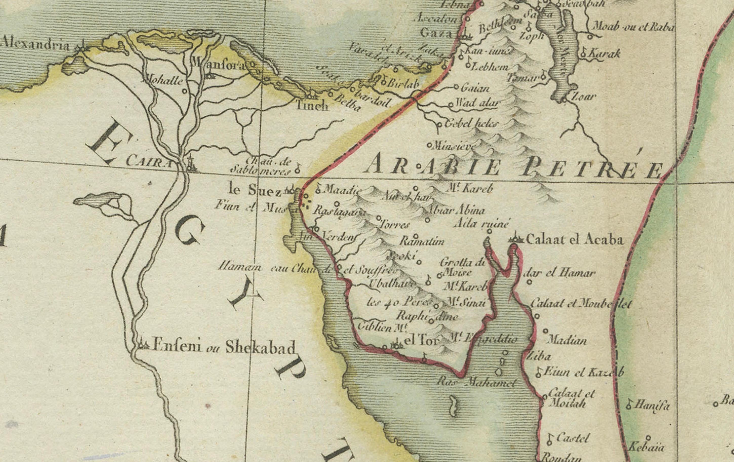
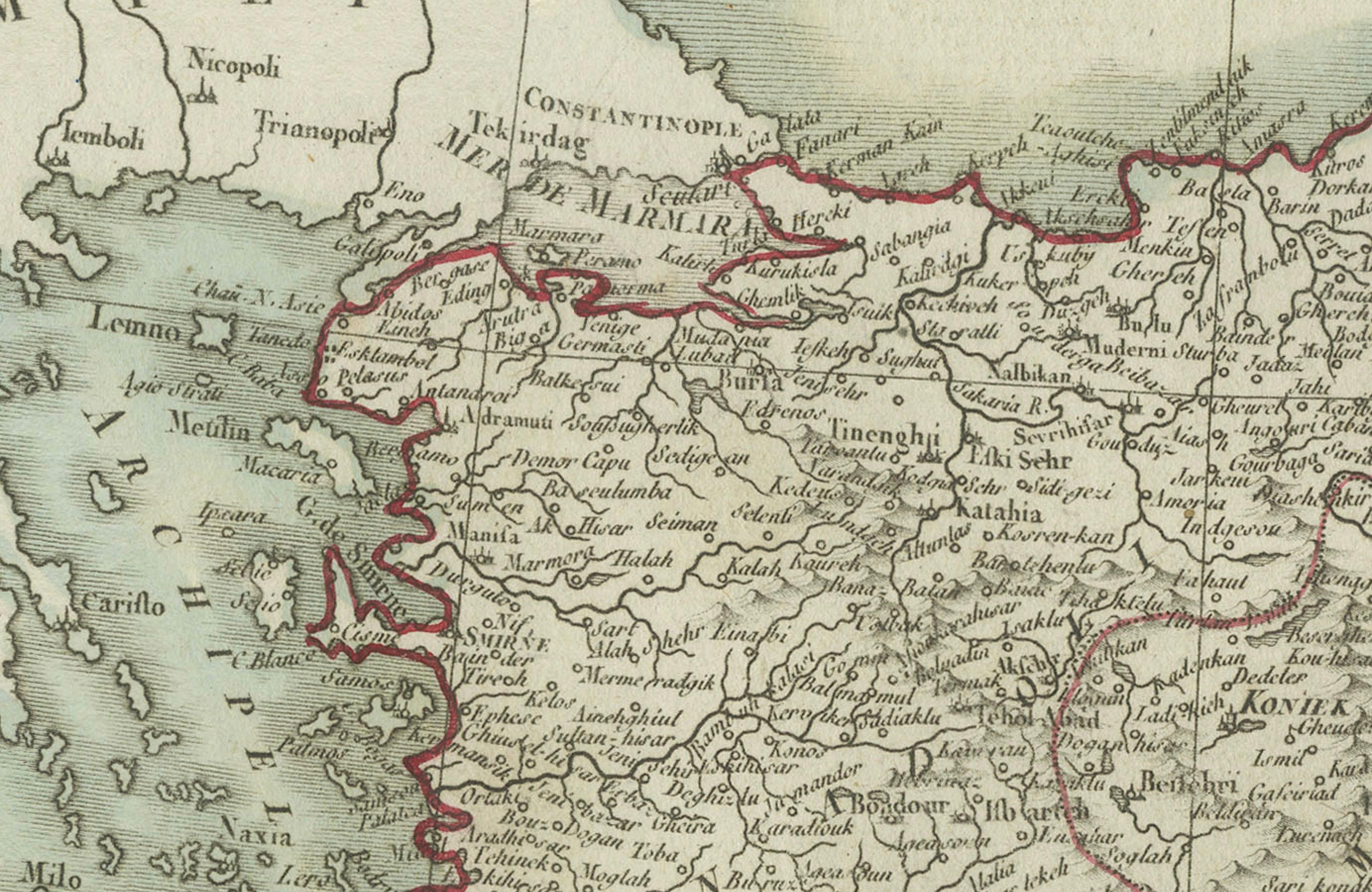
* Features: The map provides a detailed depiction of the Ottoman territories in Asia, highlighting numerous regions, cities, rivers, and mountain ranges. The hand-colored outlines help distinguish different provinces and areas, and the title cartouche is elegantly positioned in the upper left corner. Notably, Bahrein (Bahrain) is also mentioned, reflecting the broad territorial scope and geopolitical awareness of the time.
Condition Overview:
1. Paper Quality: The paper shows typical signs of aging, such as mild yellowing, but remains in strong and stable condition.
2. Edges and Corners: Slight fraying and a few small tears are visible near the edges and center fold, but none affect the map’s legibility or presentation.
3. Center Fold: A vertical center fold is present, as was standard for maps folded for atlases or publication. It is intact without separation at either end.
4. Color and Print Quality: The hand-colored borders remain crisp and vibrant. The engraved text and geographic features are sharp and clearly legible.
5. Staining and Spots: Minor spots and edge stains are visible, particularly along the fold, but these do not interfere with the reading or appreciation of the map.
Historical Context:
Around 1800, the Asian domains of the Ottoman Empire were among its most historically and strategically important territories. The empire’s administrative and cultural reach stretched from Anatolia through the Levant and Mesopotamia, into parts of the Arabian Peninsula.
Political Landscape:
1. Ottoman Administration: The empire managed these territories through a tiered system of vilayets (provinces) and sanjaks (districts). Major urban centers like Constantinople (Istanbul), Damascus, Baghdad, Aleppo, and Mecca served not only as administrative hubs but also as cultural and economic powerhouses.
2. Neighboring Powers: The Ottoman Empire’s eastern neighbor, the Persian Empire under the Qajar dynasty, remained an influential and sometimes antagonistic presence. To the north, the Russian Empire was extending its influence into the Caucasus, presenting new territorial and strategic challenges.
Socio-Economic Conditions:
1. Trade and Commerce: The region was an essential artery in the global trade network, linking Europe to India and the Far East. Trade routes passed through cities like Aleppo, Damascus, and Baghdad, bringing goods such as spices, silks, carpets, and precious metals. Coastal ports along the Mediterranean, Aegean, and Red Seas supported international maritime trade.
2. Agriculture and Resources: Fertile regions like the Tigris-Euphrates valley in Mesopotamia and the coastal plains of the Levant supported productive agriculture. Meanwhile, caravan routes through the Arabian Peninsula facilitated trade in high-value commodities such as incense and spices.
3. Cultural and Religious Diversity: The region was a mosaic of ethnicities and faiths. Muslims (both Sunni and Shia) formed the majority, but Christian communities (Greek Orthodox, Armenian, Maronite, Assyrian), Jews, Druze, and others lived throughout the empire. This pluralism shaped the religious and cultural life of the Ottoman East.
Conflicts and Changes:
1. Internal Struggles: The Ottoman government faced challenges from within, including corruption, inefficient administration, and regional dissent. Local rulers sometimes acted with relative autonomy, and uprisings were frequent.
2. Napoleonic Wars: Though the empire was not a central combatant, the global disruptions of the Napoleonic era affected Ottoman foreign policy and trade. European powers increasingly viewed the Ottoman lands through a strategic lens.
3. Regional Revolts: Localized rebellions and power struggles occurred frequently in provinces such as Egypt and Arabia. While many were suppressed, they foreshadowed the gradual weakening of centralized Ottoman control over its Asian provinces.
Summary:
The "Carte de la Turquie Asiatique" offers a finely detailed representation of a historically rich and geopolitically vital region of the Ottoman Empire. Around 1800, these territories were alive with trade, cultural exchange, and political intrigue. The map not only reflects geographic features but also captures a moment of transition—when the empire still held vast lands in Asia, even as modern pressures were beginning to reshape its future. This map is both a valuable historical document and a visually compelling artifact of early...