About this sheet
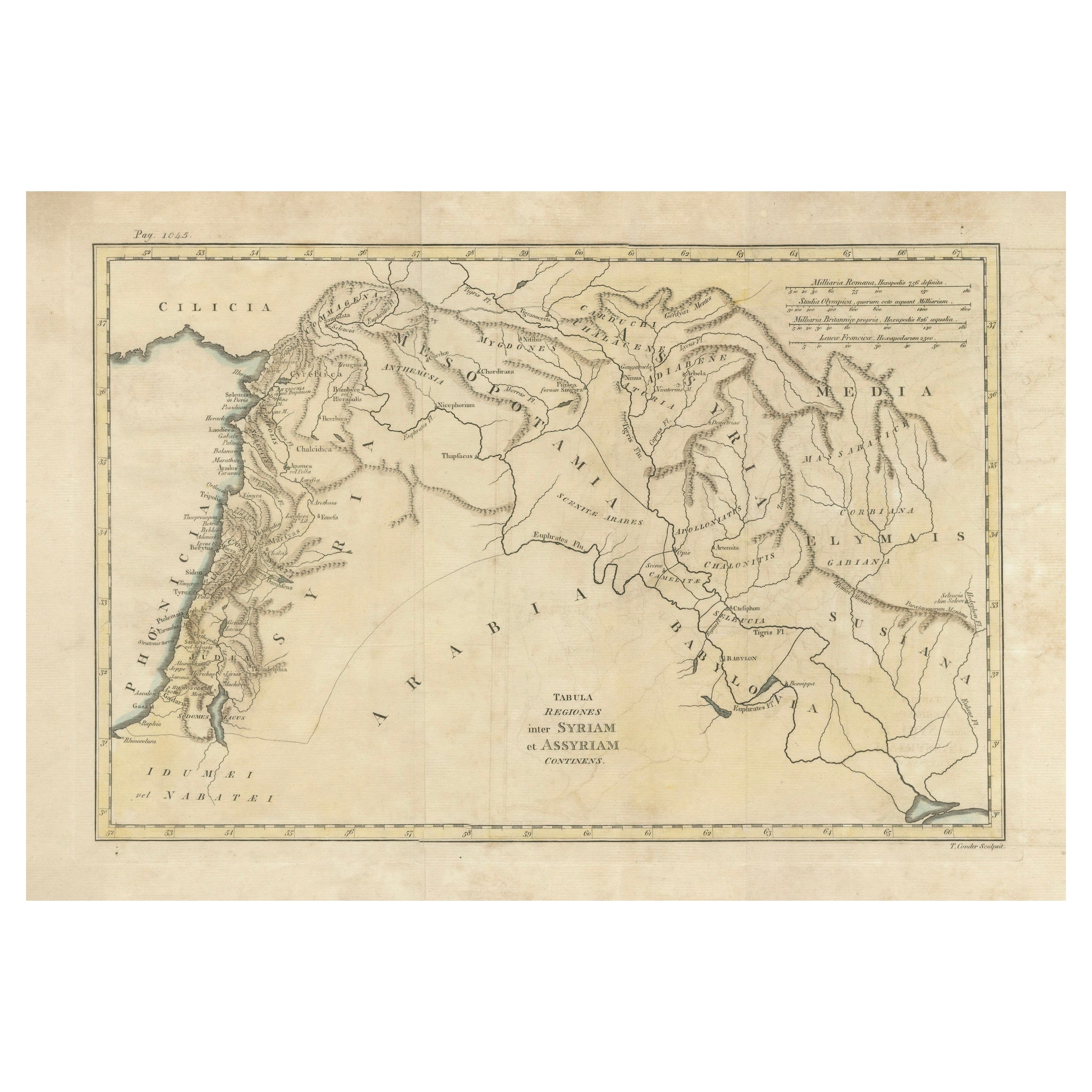
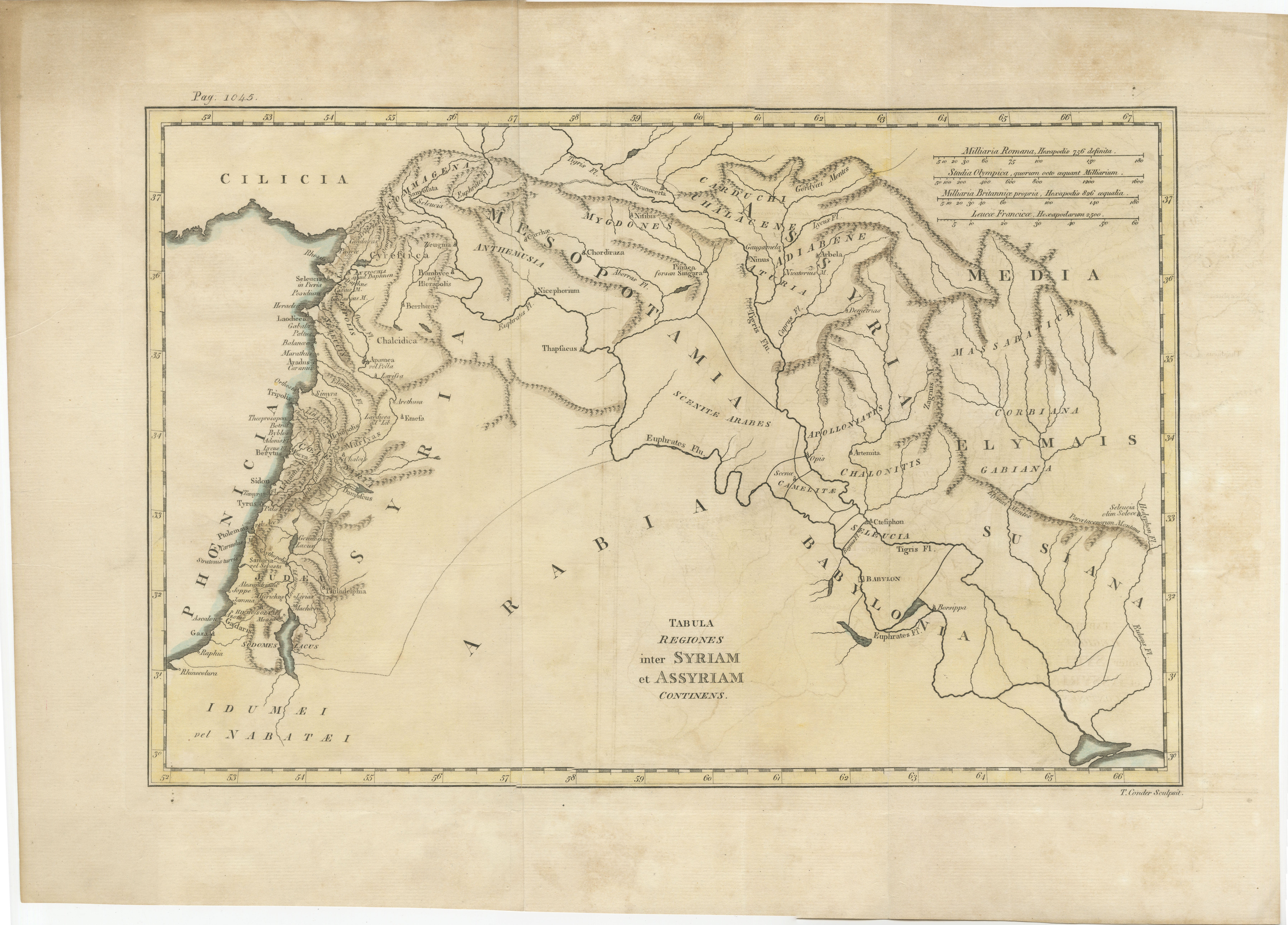
19th Century Map of Ancient Syria and Assyria: 'Tabula Regiones inter Syriam et Assyriam continens'"*
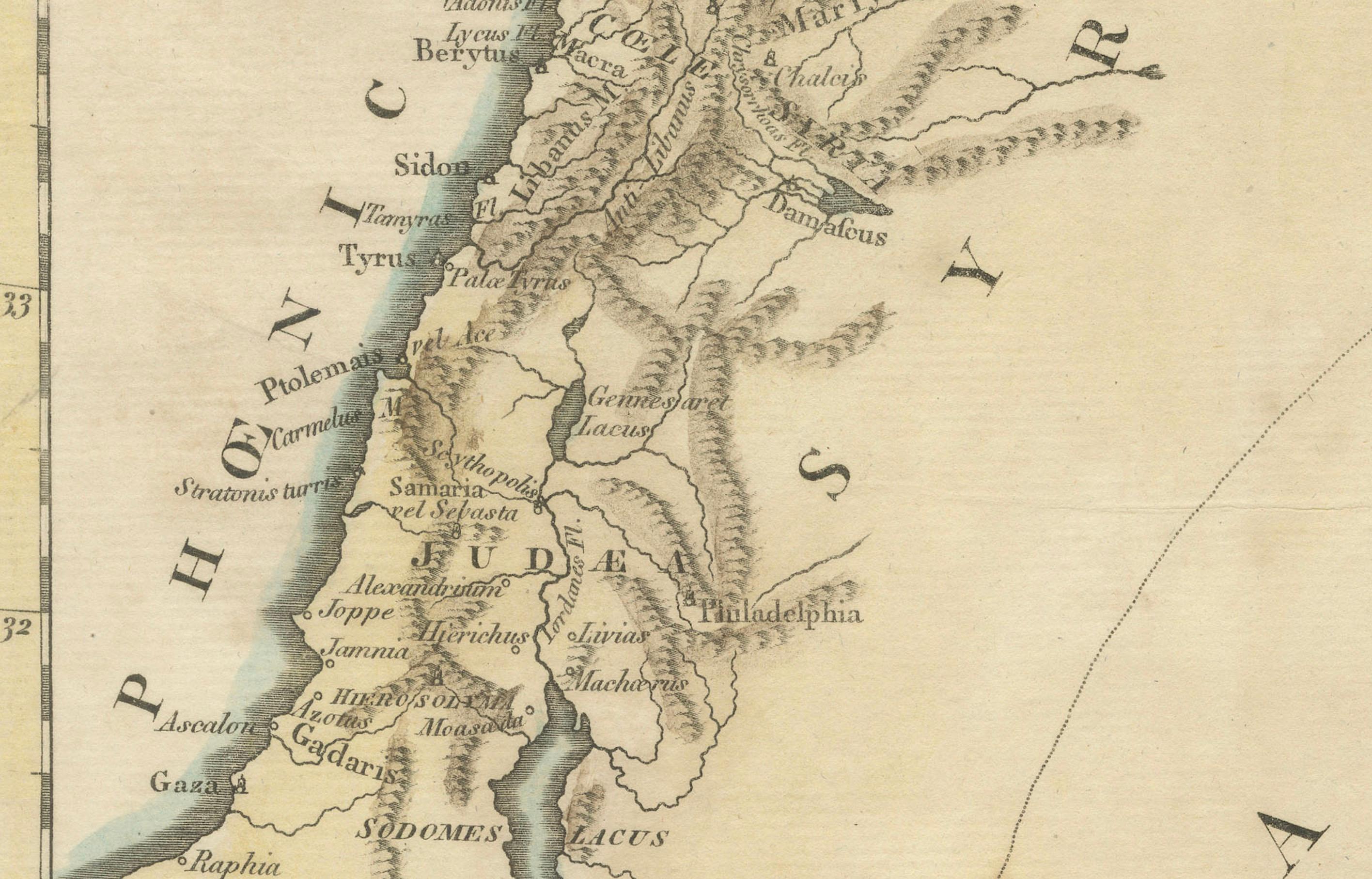
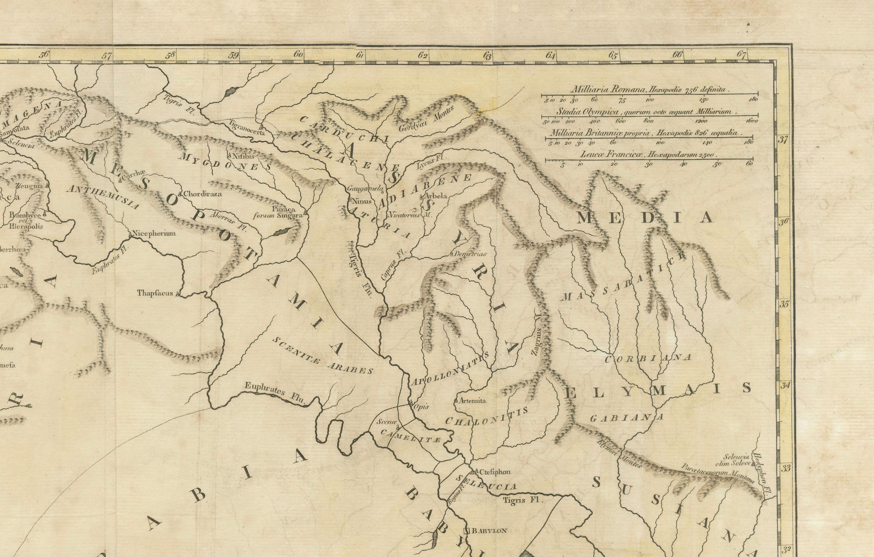
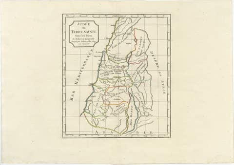
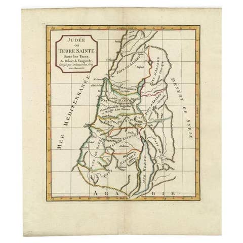
This beautifully detailed 18th-century map, titled *"Tabula Regiones inter Syriam et Assyriam continens,"* offers a scholarly depiction of the regions between ancient Syria and Assyria. The map highlights key geographical features of these historically significant lands, covering areas that correspond to parts of modern-day Iraq, Syria, and surrounding regions.
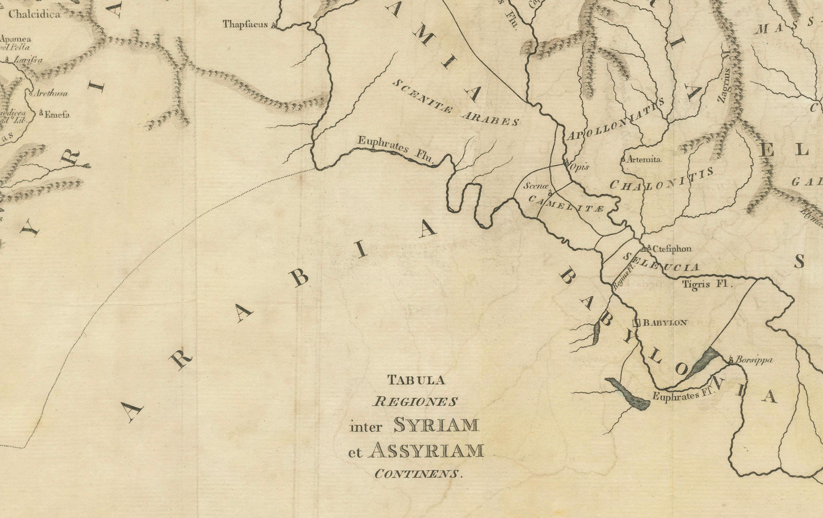
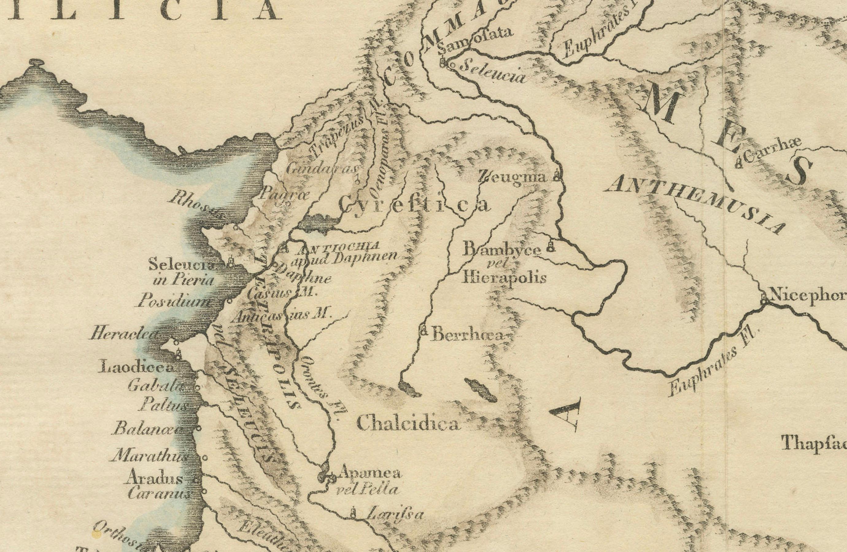
Engraved with precision, this map showcases important cities and landmarks of the time, such as Babylon, Seleucia, and Damascus, along with major rivers like the Tigris and Euphrates. The map also delineates various ancient regions, including Mesopotamia, Phoenicia, and Elymais, making it an invaluable resource for historians and collectors alike.
The map is attributed to a distinguished cartographer of the era, reflecting the detailed knowledge and cartographic skills of its maker. It was likely included in an atlas or historical compendium dedicated to the study of ancient empires and their geographical contexts.
With noticeable but typical signs of aging, including some foxing and minor edge wear, this map remains in good condition and continues to be a testament to the rich history and cartographic expertise of the 18th century.
This map is an excellent addition for collectors of historical maps, students of ancient history, or anyone with an interest in the classical world. Please refer to the detailed photographs provided for a closer inspection of this exquisite piece.
T. Conder, or Thomas Conder, was a well-known British engraver and mapmaker active during the late 18th and early 19th centuries. The term "Sculpsit" (Latin for "he/she carved it") often follows the name of the engraver on historical maps and prints, indicating that the person named was responsible for engraving the work.
Thomas Conder was particularly known for his work on maps and illustrations that appeared in various atlases and historical books of the period. He worked with several notable publishers and cartographers, contributing to the production of high-quality engravings that were valued for their precision and detail. His work is often associated with the Georgian period in Britain, and his engravings are found in various historical and geographical publications from that time.
Given that the map was engraved by T. Conder, it is likely from a publication produced in the late 18th or early 19th century. Thomas Conder worked extensively on maps and illustrations for various atlases and historical works during this period.
One possible source for this map could be "The Complete Genealogical, Historical, Chronological, and Geographical Atlas", which was published in 1790. Another potential source is "Middle Eastern and Classical Maps", which were part of historical or classical texts printed around that time.
To pinpoint the exact publication and year, you would typically look for additional details such as the title of the map, the specific content it covers (regions, historical events, etc.), and any accompanying text or references. However, based on Conder's active period and the style of the engraving, a likely publication date for this map could be anywhere between **1780 and 1820**.
Without more specific information, a precise identification might be challenging, but the above provides a reasonable context and potential publication period. More research needed.