About this sheet
Holy Land Map — Palestina seu Terra Sancta, Biblical Geography, Wilkinson 1819
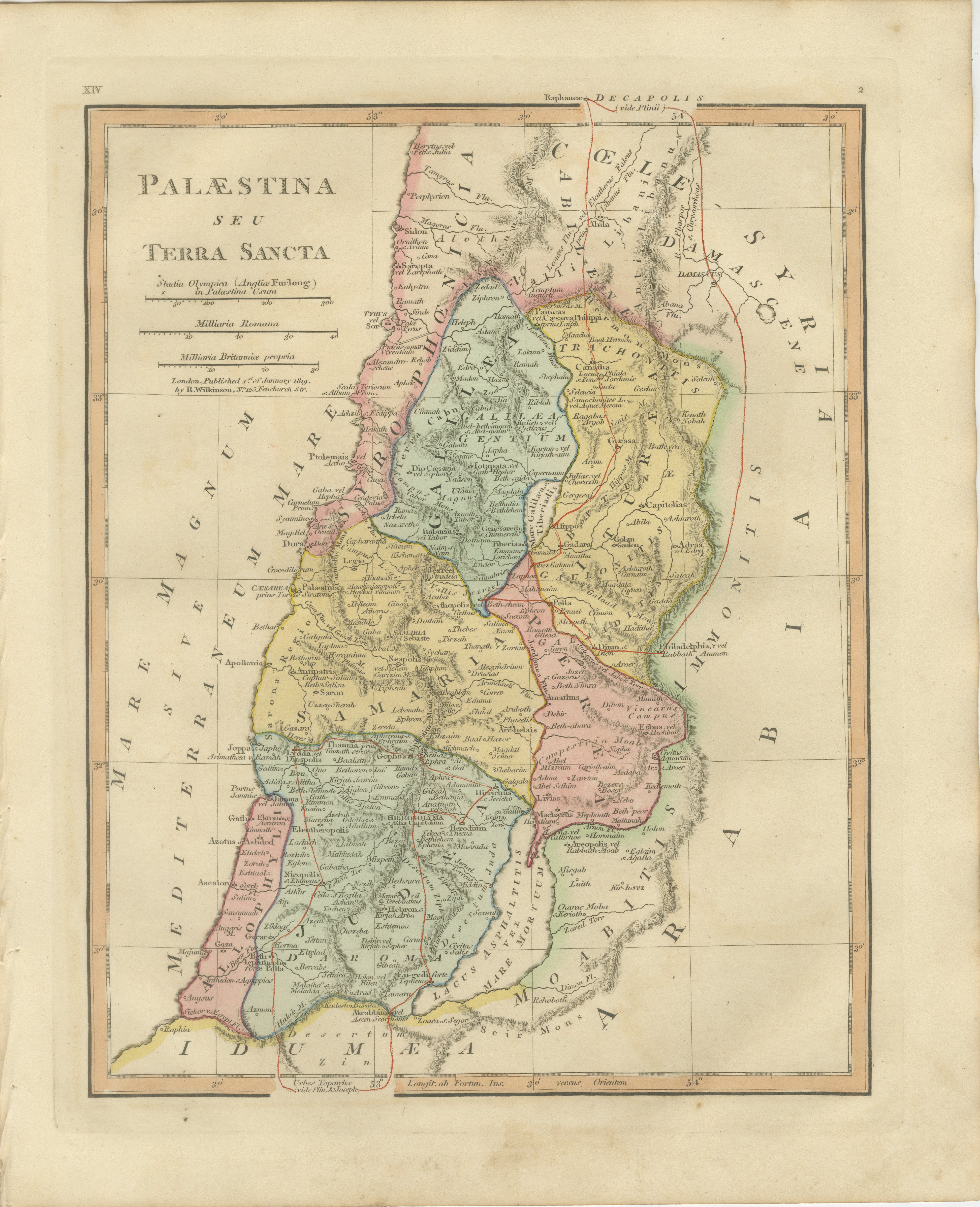
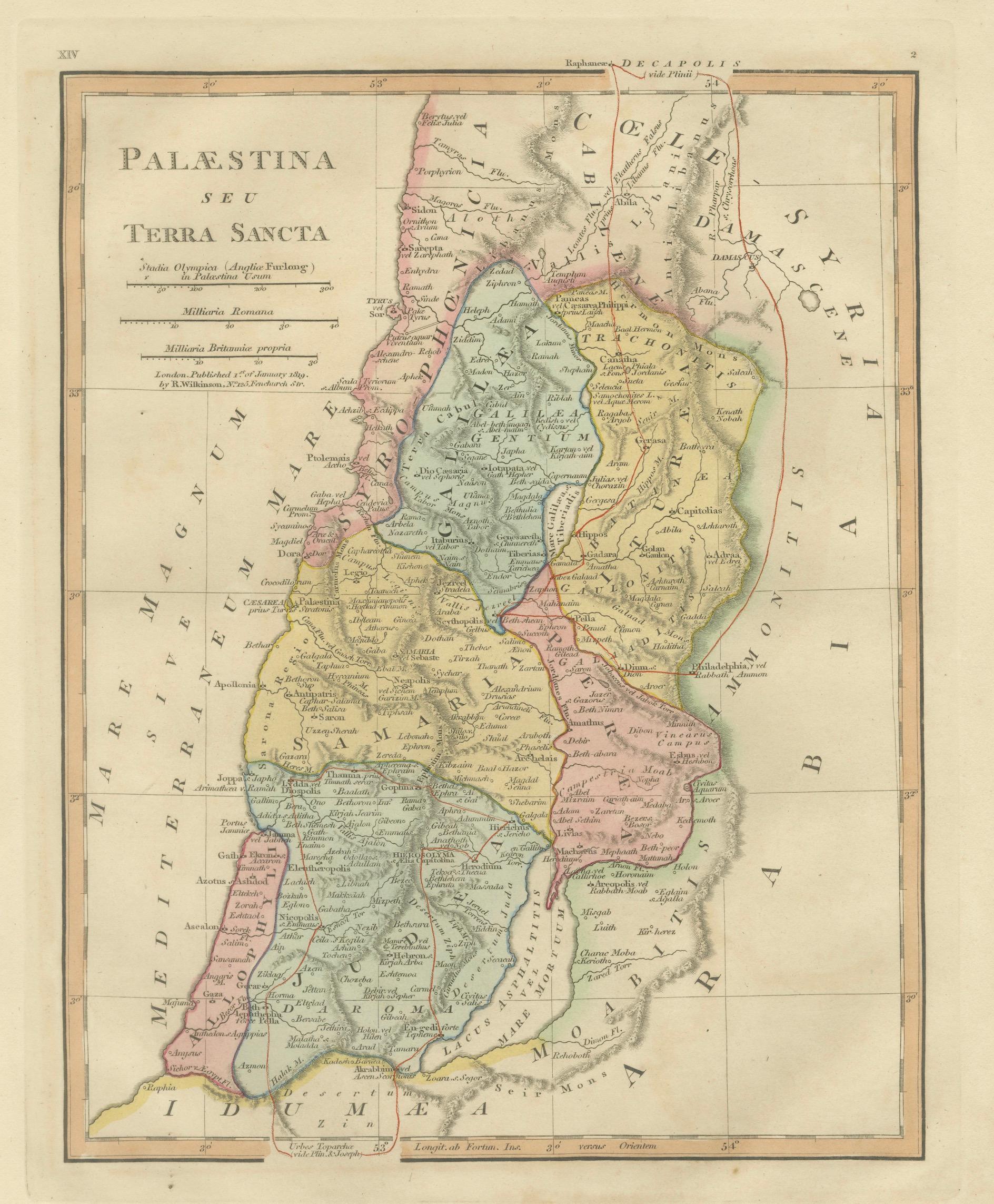
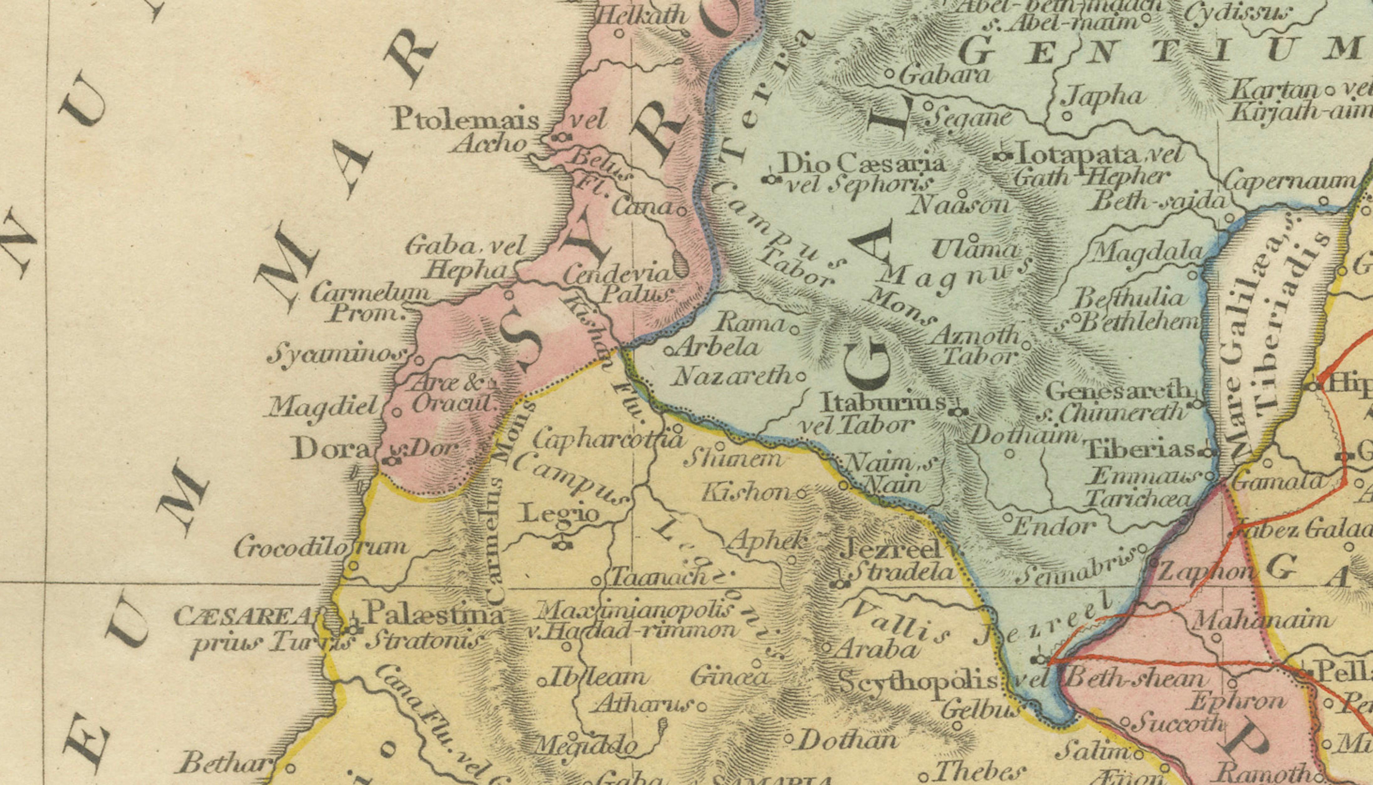
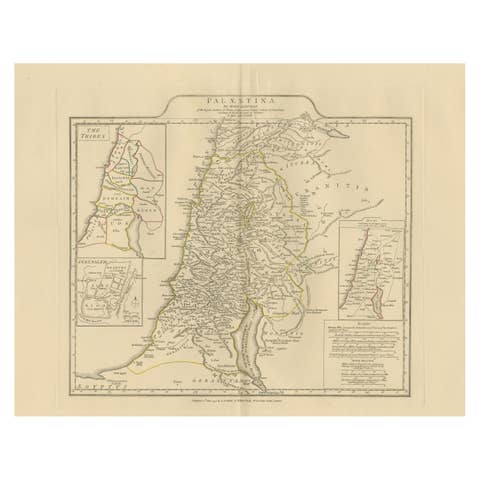
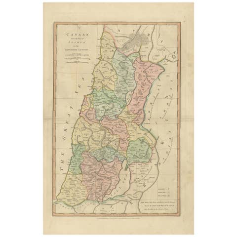
This finely engraved and delicately hand-colored antique map titled Palæstina seu Terra Sancta presents a detailed early nineteenth-century reconstruction of the Holy Land, published in London in 1819 by the respected cartographer Robert Wilkinson. Created during a period of renewed European scholarly fascination with biblical history and classical geography, the map visualizes Palestine as understood through ancient sources rather than modern political boundaries.
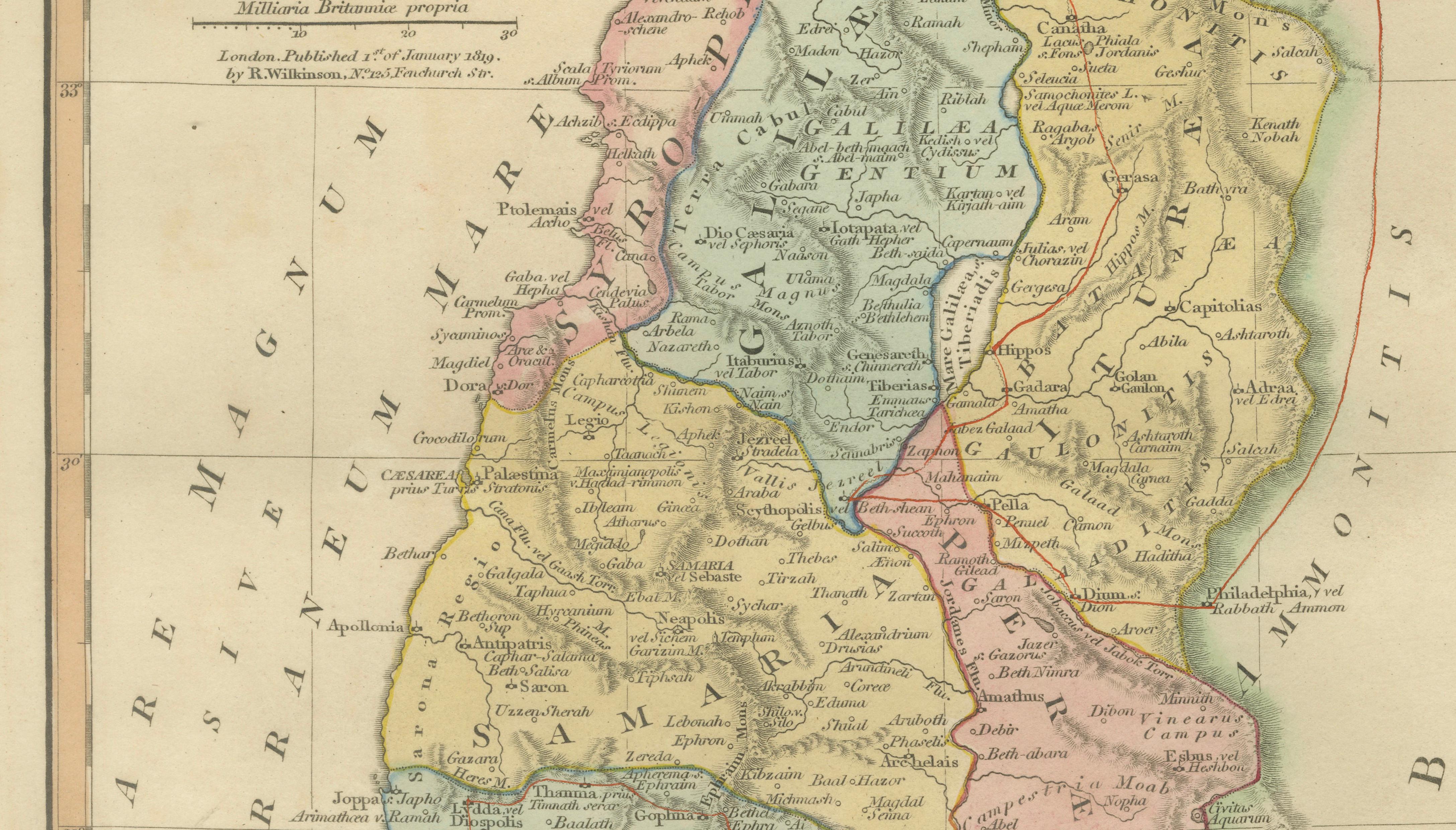
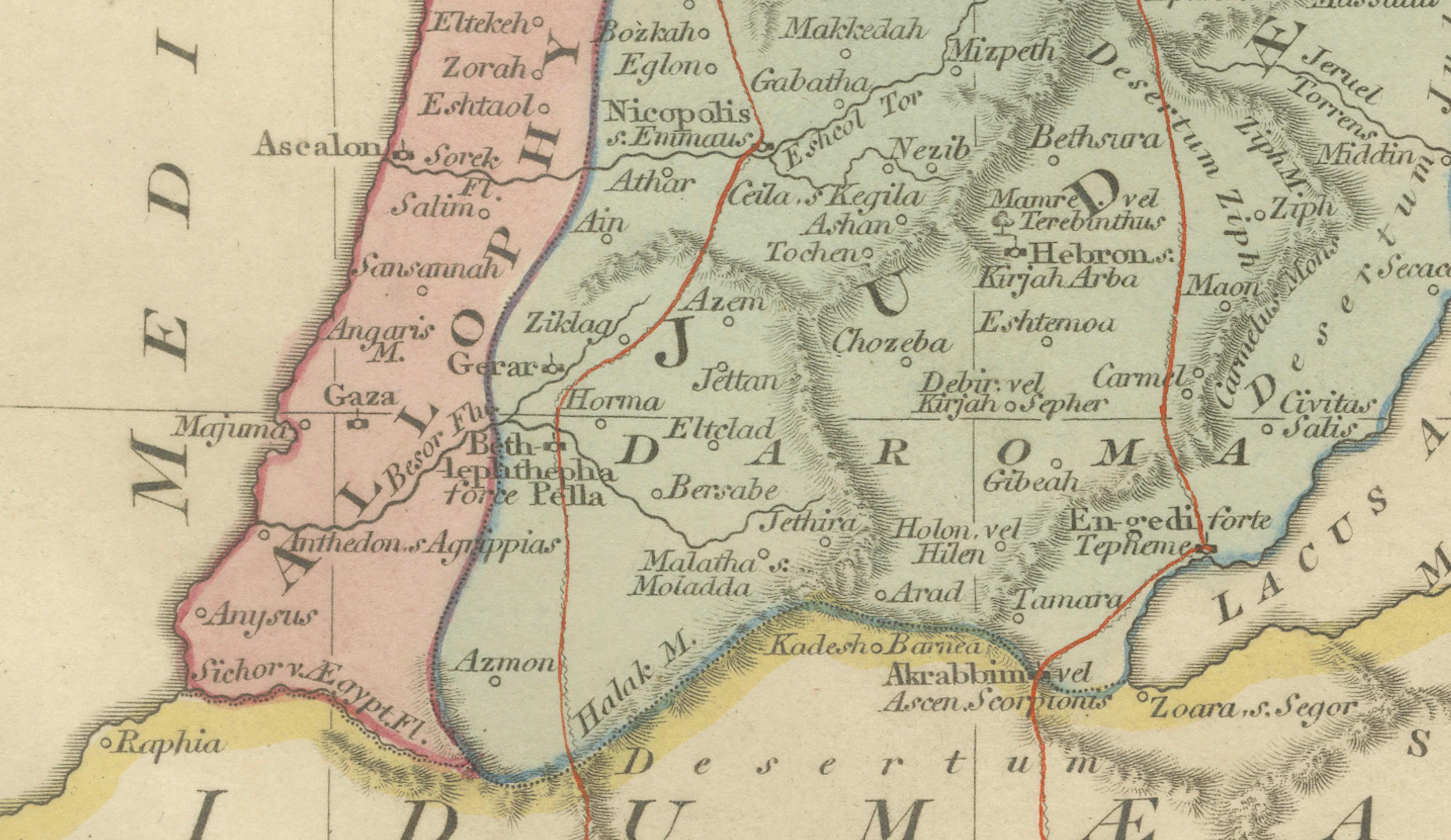
The composition depicts the eastern Mediterranean coast from Phoenicia and Galilee southward through Judea and Idumea, extending eastward across the Jordan Valley toward Arabia. Regions central to biblical history are carefully distinguished with original outline coloring, including Samaria, Judea, Galilee, Perea, and Decapolis. The Mediterranean Sea forms the western boundary, while the Dead Sea and River Jordan create a strong vertical axis through the landscape.
Numerous historically and religiously significant locations are engraved in remarkable detail, among them Jerusalem, Bethlehem, Nazareth, Jericho, Hebron, Gaza, Jaffa, and Mount Carmel. The map also records ancient tribal territories and classical place names, reflecting Enlightenment-era attempts to reconcile scripture, classical literature, and emerging historical geography.
Wilkinson’s classical atlas aimed to educate as well as decorate, offering viewers a visual framework for understanding biblical narratives within their geographic setting. The restrained pastel palette, elegant lettering, and balanced composition make the map equally suited for scholarly appreciation and refined interior display.
Today, maps of the Holy Land from this period remain especially sought after by collectors interested in biblical history, early cartography of the Near East, and decorative antique maps with cultural significance.
Condition: Good antique condition overall. Light age-related toning with scattered spotting and minor handling wear confined mainly to the margins. Plate mark visible.
Framing tips: Exceptionally suitable for a museum-style presentation. A dark walnut or antiqued gilt frame with an ivory mat enhances the subtle hand coloring and emphasizes the vertical composition of the Holy Land.
Technique: Copperplate engraving with original hand color
Maker: Robert Wilkinson, London, 1819
Keywords:
Palestina seu Terra Sancta, Holy Land antique map, Palestine 1818 map, Jerusalem antique map, Judea, Samaria, Galilee, Idumea, Decapolis, River Jordan, Dead Sea, Mediterranean Sea, Bethlehem, Nazareth, Jericho, Hebron, Gaza, Jaffa, Mount Carmel, Biblical geography map, Wilkinson Atlas, Holy Land cartography, Near East antique map, biblical antiquity map