About this sheet
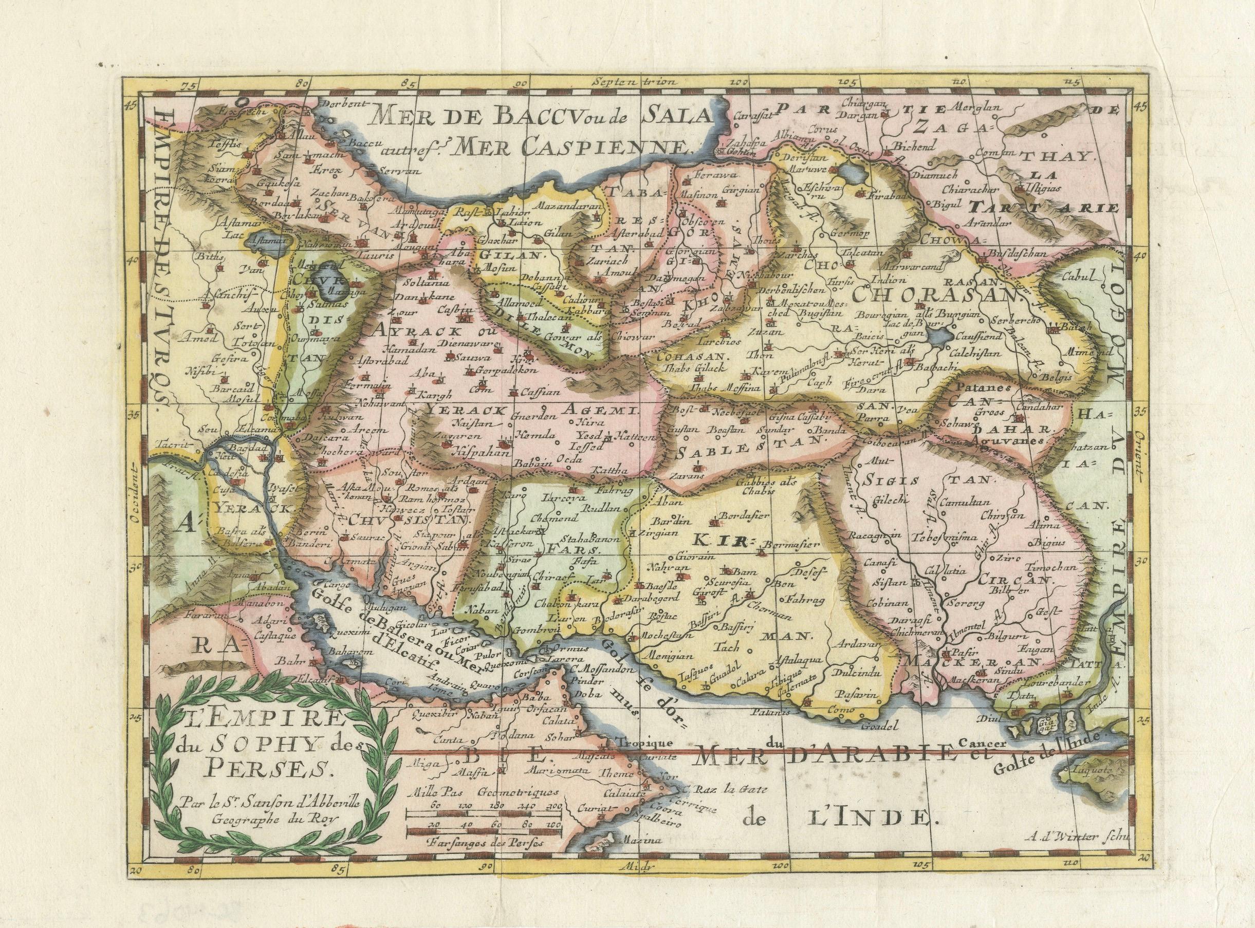
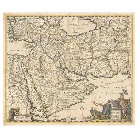
Map of the Persian Empire by Nicolas Sanson, hand-colored, circa 1683
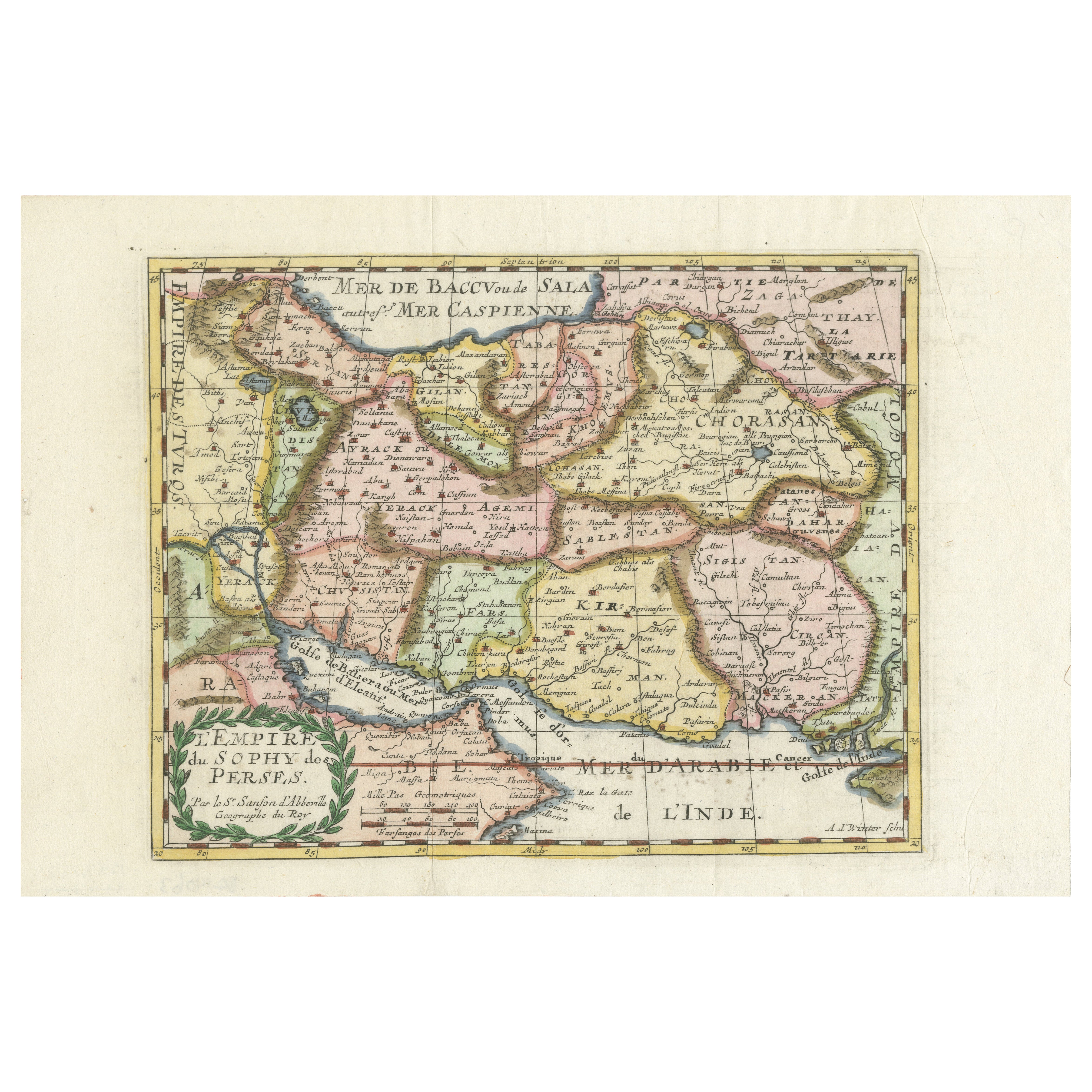
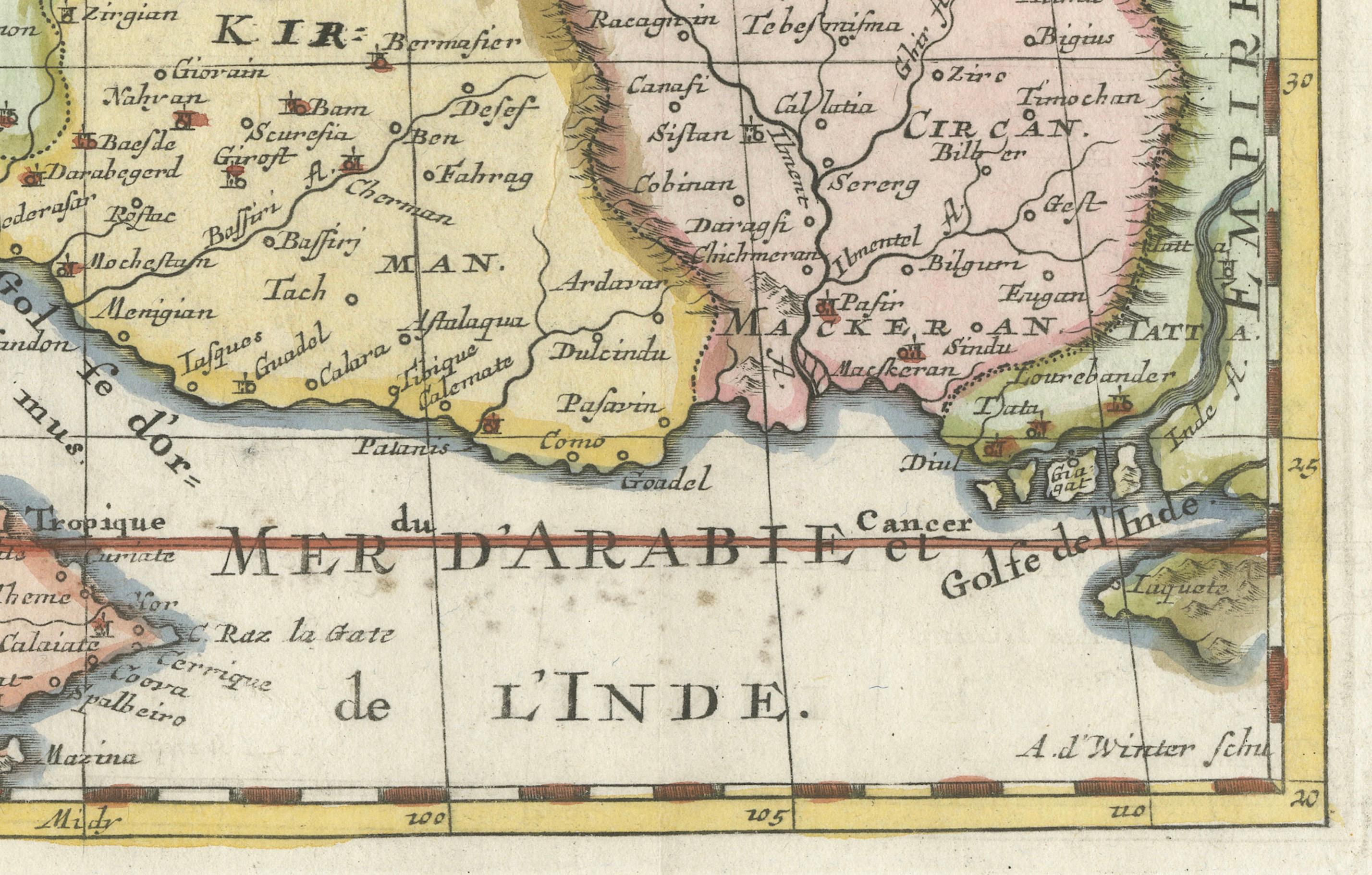
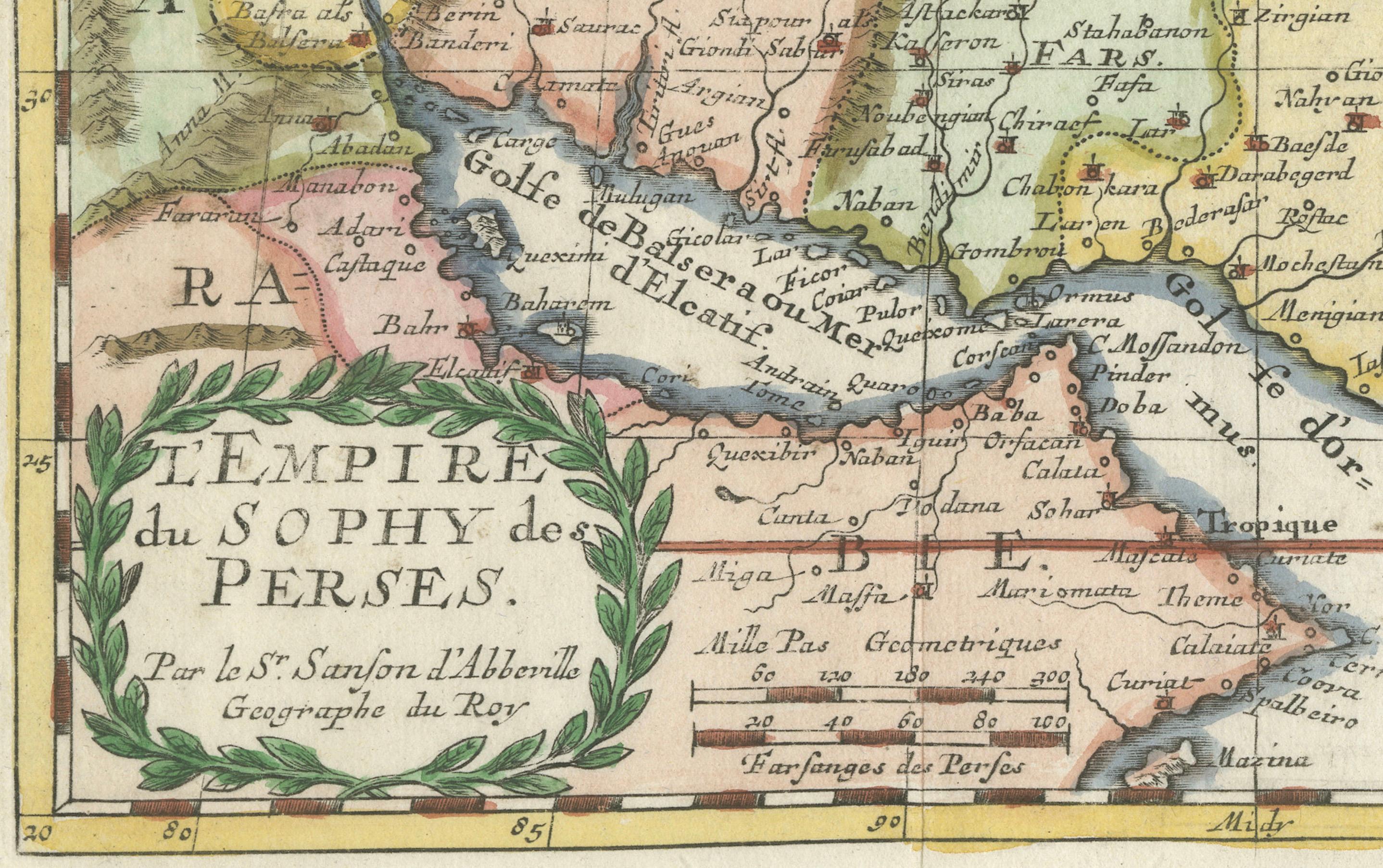
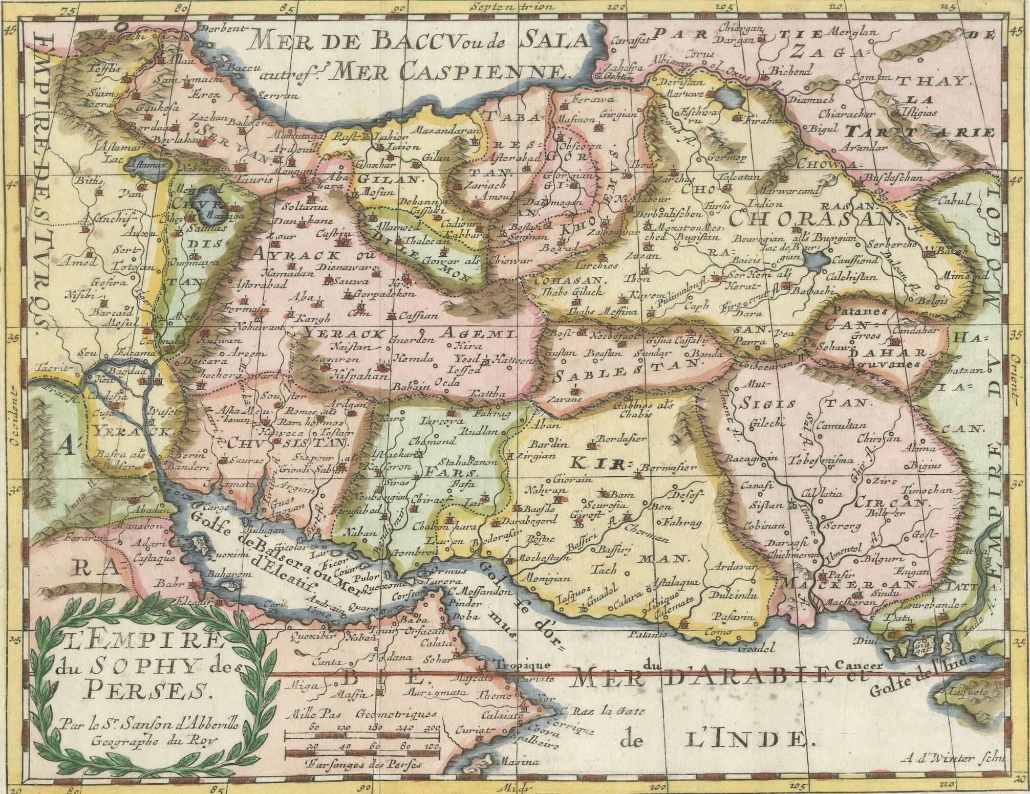
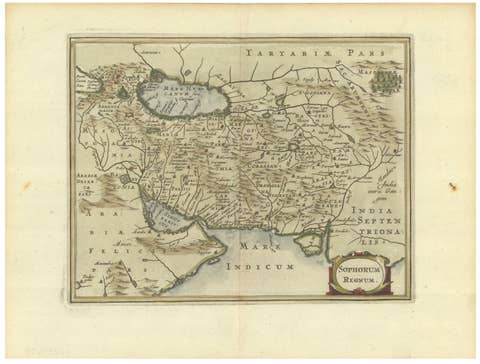
This finely detailed and delicately hand-colored map titled *L'Empire du Sophy des Perses* presents a late 17th-century view of the Persian Empire, covering a wide region including modern-day Iran, Iraq, Kuwait, southern parts of the Caucasus, and western Pakistan. The map was designed by Nicolas Sanson, the royal geographer to the French King, and engraved by Antoine d’Winter. This example was likely issued around 1683 as part of *Geographise en Historise Werelt Beschryving*, a Dutch adaptation of Sanson’s influential small-format atlases.
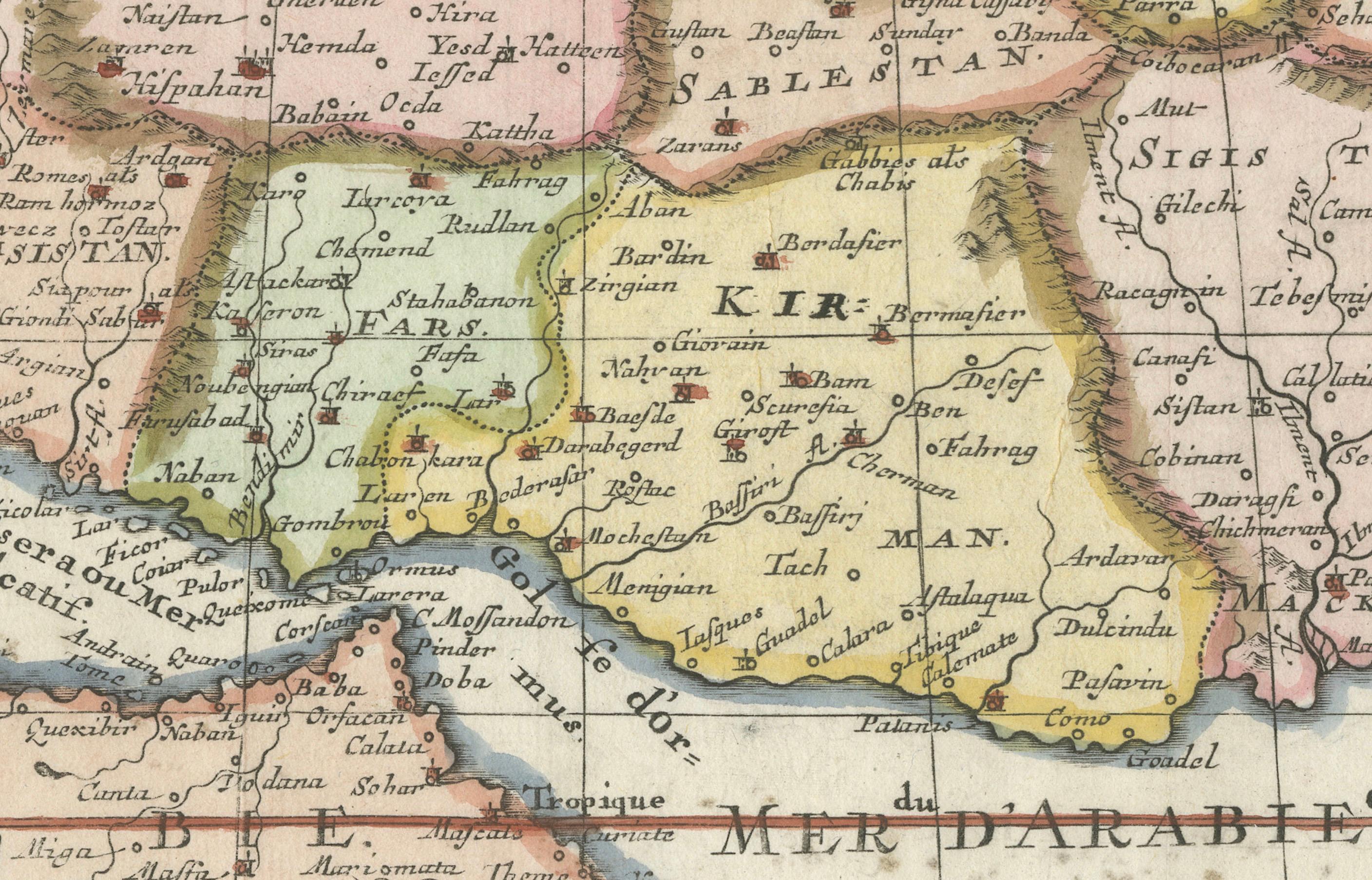
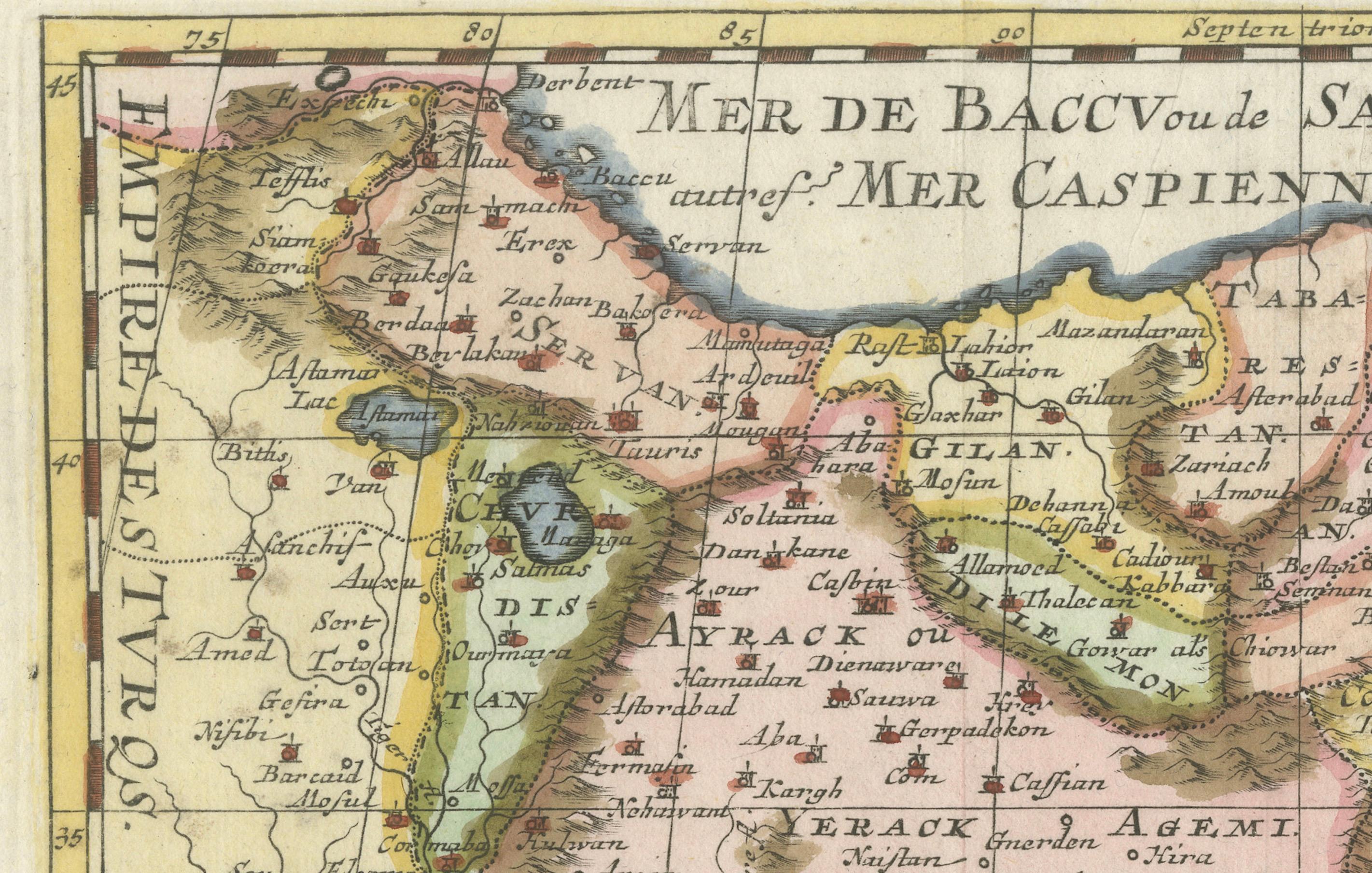
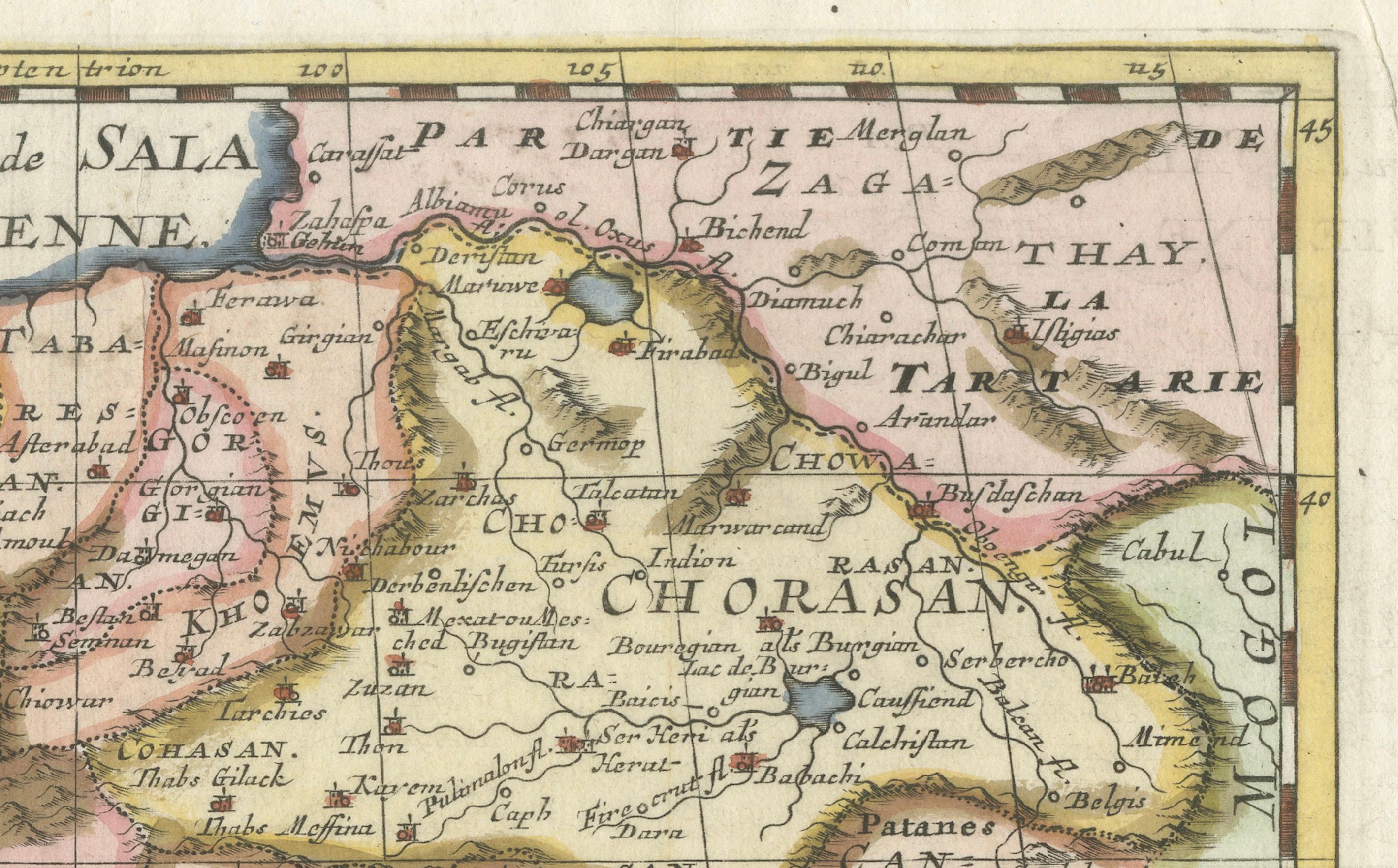
The map captures the political and geographical structure of the Persian Empire under the Safavid dynasty, known to European audiences as the “Empire of the Sophy.” Topographical details such as rivers, mountain ranges, and deserts are depicted, along with numerous place names—both classical and then-contemporary—including major cities such as Isfahan, Shiraz, Baghdad, and Basra. Borders are outlined in original hand color, dividing key regions such as Chorasan, Kirman, Arack Agemi, and more.
To the north is the Caspian Sea, labeled *Mer de Baccu ou de Sala*, and the *Mer d’Arabie* (Arabian Sea) is shown at the southern boundary, along with the entrance to the Persian Gulf and the mouth of the Indus River. The title is elegantly framed in a green laurel wreath cartouche, a signature element of Sanson’s map design.
This particular map has a rich production history. While originally engraved in the 1650s by A. Peyrounin, this smaller version was re-engraved by Antoine d’Winter for editions published by Ribbius and de Vries in the early 1680s. The plates changed hands multiple times through the 18th century, a testament to their enduring value and clarity.
An excellent addition to any collection of antique maps of the Middle East or Persian Empire.
Condition Report:
Excellent early impression on bright paper with full margins. Light spots in the Arabian Sea area. Watermark with arrow visible. No tears or repairs. Hand coloring is well-preserved and attractive.
Framing Tips:
Frame in a gold or dark wood moulding with an ivory or tan mat to accent the warm hand coloring. Float mounting is recommended to display the full plate and plate mark. Use UV-protective glass to preserve paper and pigment.