Ancient Persia, Assyria and Babylon – Willem Albert Bachiene, c.1760
€ 340
Original antique · The actual sheet photographed · Certificate of authenticity on request · Sold unframed · Worldwide shipping from € 15 (rates)
Date
1760
Mapmaker / artist
Willem Albert Bachiene, Utrecht, c.1760
Technique
Engraved
Sheet size
37.8 × 26 cm (14.9 × 10.2 in)
Condition
Good
Reference
PCT-62028
What the condition grades mean
Excellent
Bright and clean, with no faults worth mentioning.
Very good
Only light signs of age, such as faint toning.
Good
Normal signs of age for a sheet of this period: toning, some foxing, small marks or neat old repairs.
Fair
Clear faults such as staining, tears or repairs, priced to match.
Every fault we see is written in the condition note, and the whole sheet is shown uncropped in the photos.
Condition
Condition report: Very good for age. Strong impression with visible plate mark. Some toning, faint soiling, and light fold at center, as issued. Minor spots consistent with age. Wide margins present.
About this sheet
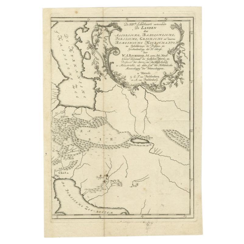
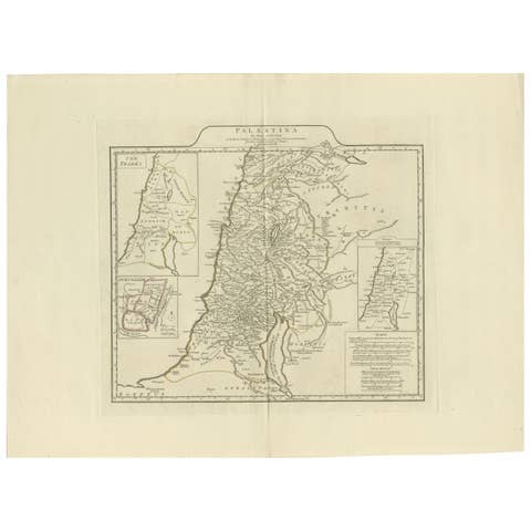
Ancient Persia, Assyria and Babylon – Willem Albert Bachiene, circa 1760
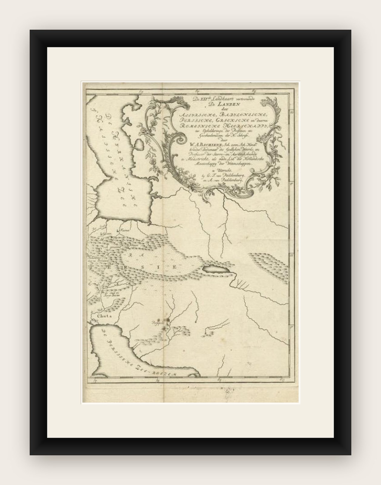
Antique map depicting the territories of the Assyrian, Babylonian, Persian, Greek, and later Roman Empires. The map covers a wide area including the Persian Gulf, the Tigris and Euphrates river systems, and extending into parts of Mesopotamia, Armenia, and adjacent regions. Stylized mountain ranges, rivers, and settlements are engraved, with seas labeled “De Persische Zee Boezem” (the Persian Gulf) and “De Hyrcanische Zee” (the Caspian Sea).
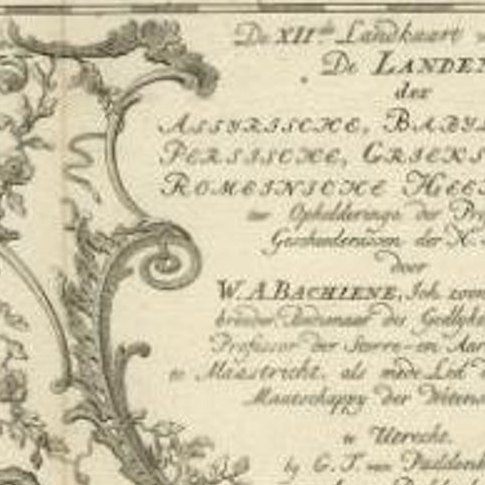
The elaborate cartouche at the top right frames the title: “De 12e Landkaart vertoonende De Landen der Assyrische, Babylonische, Persische, Grieksche en daarna Romeinsche Heerschappy” It specifies that the map was produced by Bachiene (1712–1783), clergyman and later professor of astronomy and geography at the Illustere School in Maastricht. Bachiene was noted for his historical and biblical maps, intended to accompany theological and historical studies of the Scriptures.
This engraving illustrates the territories described in Biblical and classical sources, designed for educational use in the mid-18th century. It reflects the Enlightenment interest in combining historical geography with moral and theological instruction.
Condition report: Very good for age. Strong impression with visible plate mark. Some toning, faint soiling, and light fold at center, as issued. Minor spots consistent with age. Wide margins present.
Framing tips: A simple dark frame or gilt moulding with an ivory or cream mount highlights the classical subject. A second-line mount in muted green or ochre would echo the historic tone of the piece.