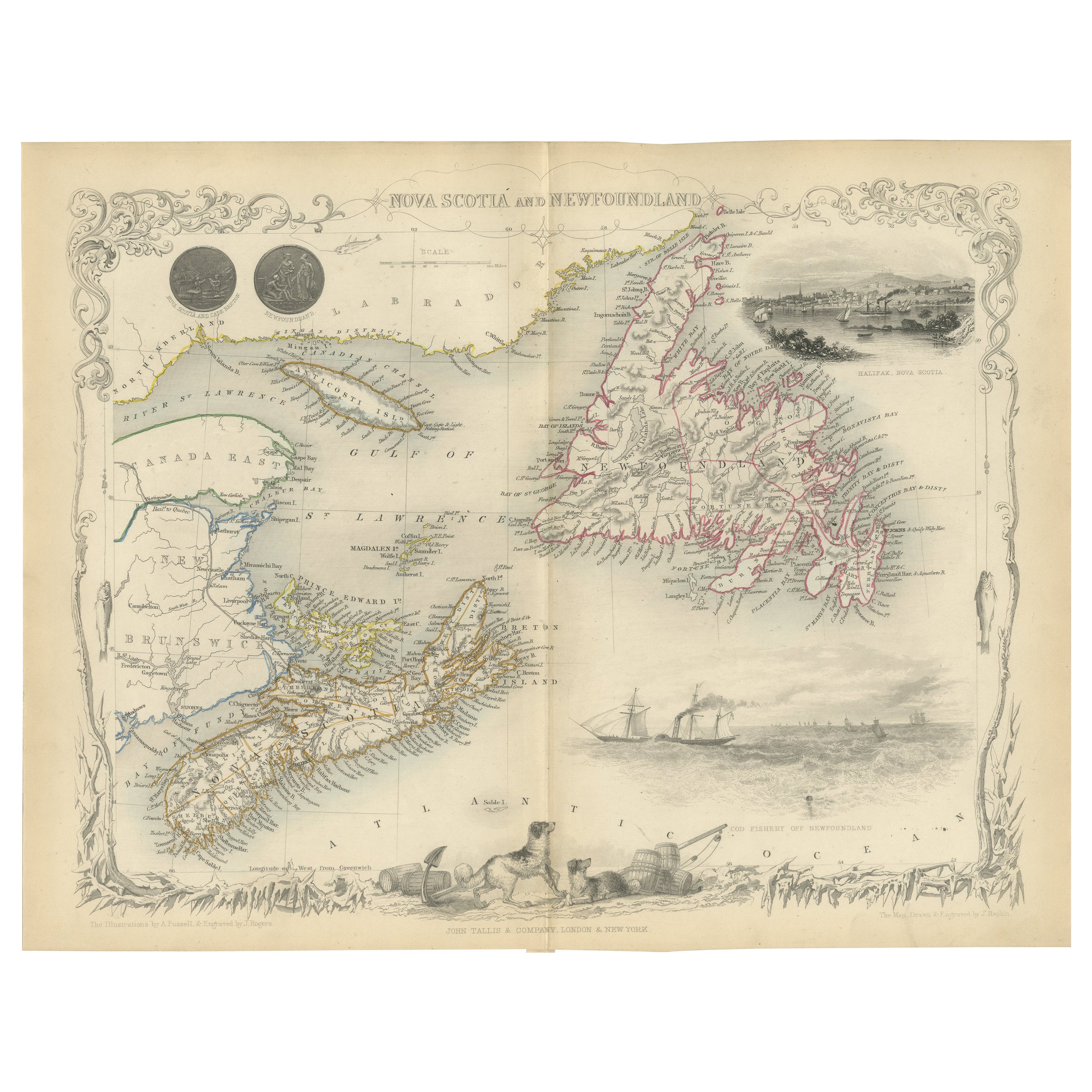
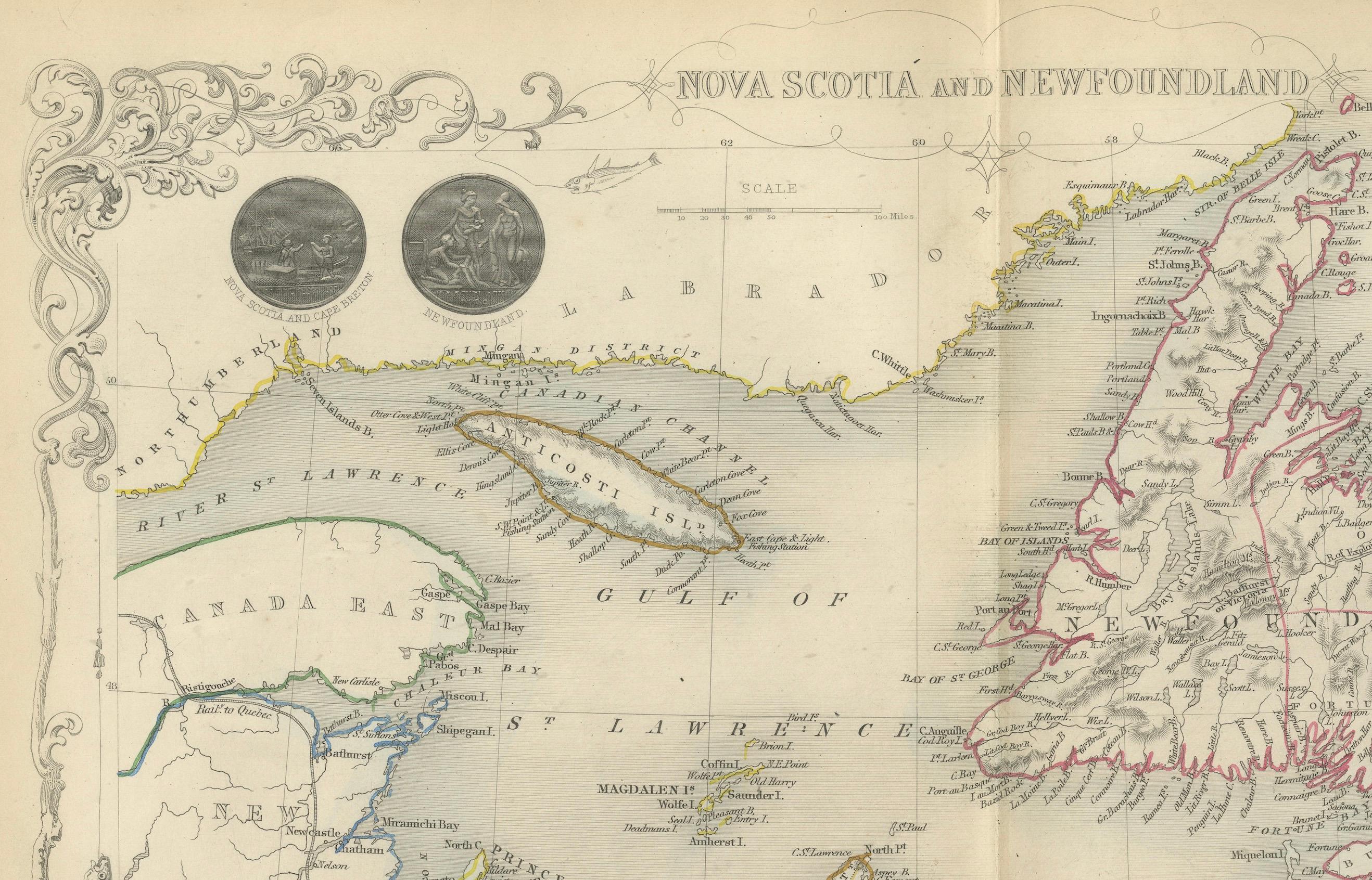
A Decorative Map of Nova Scotia and Newfoundland by John Tallis, 1851
€ 340
One of a kind: this is the sheet in the photographs. Ships from Langweer, the Netherlands.
Date
1851
Sheet size
27.2 × 36.2 cm (10.7 × 14.3 in)
Condition
Good
Reference
BG-13736-16
Condition
Good given age. Original fold in middle as published. General age-related toning, please study scan carefully.
About this sheet
The map is part of the series created by John Tallis & Company, known for their mid-19th-century maps. This particular map illustrates the regions of Nova Scotia and Newfoundland and, like others in the "The British Colonies" series, it is both ornamental and informative.
The mapmaker, John Tallis, collaborated with cartographer John Rapkin for many of the maps in his company's publications. The detailed illustrations and the map’s embellishments were typically done by a range of artists and engravers, including Rapkin.
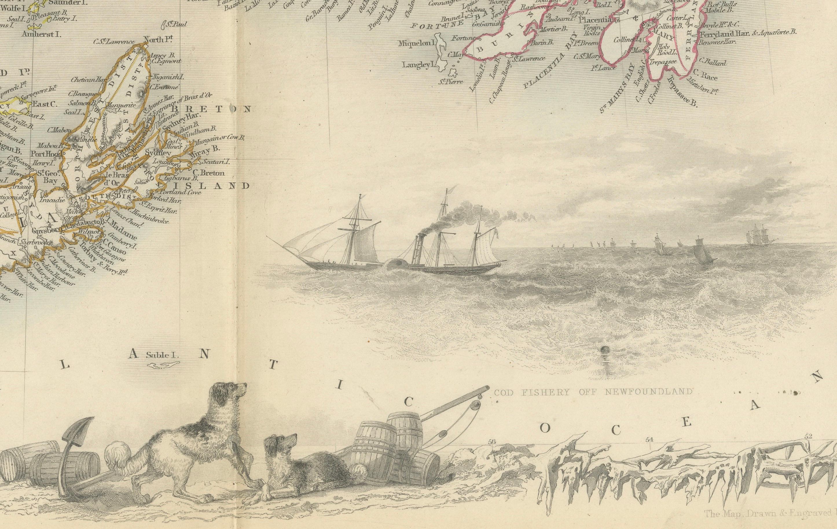
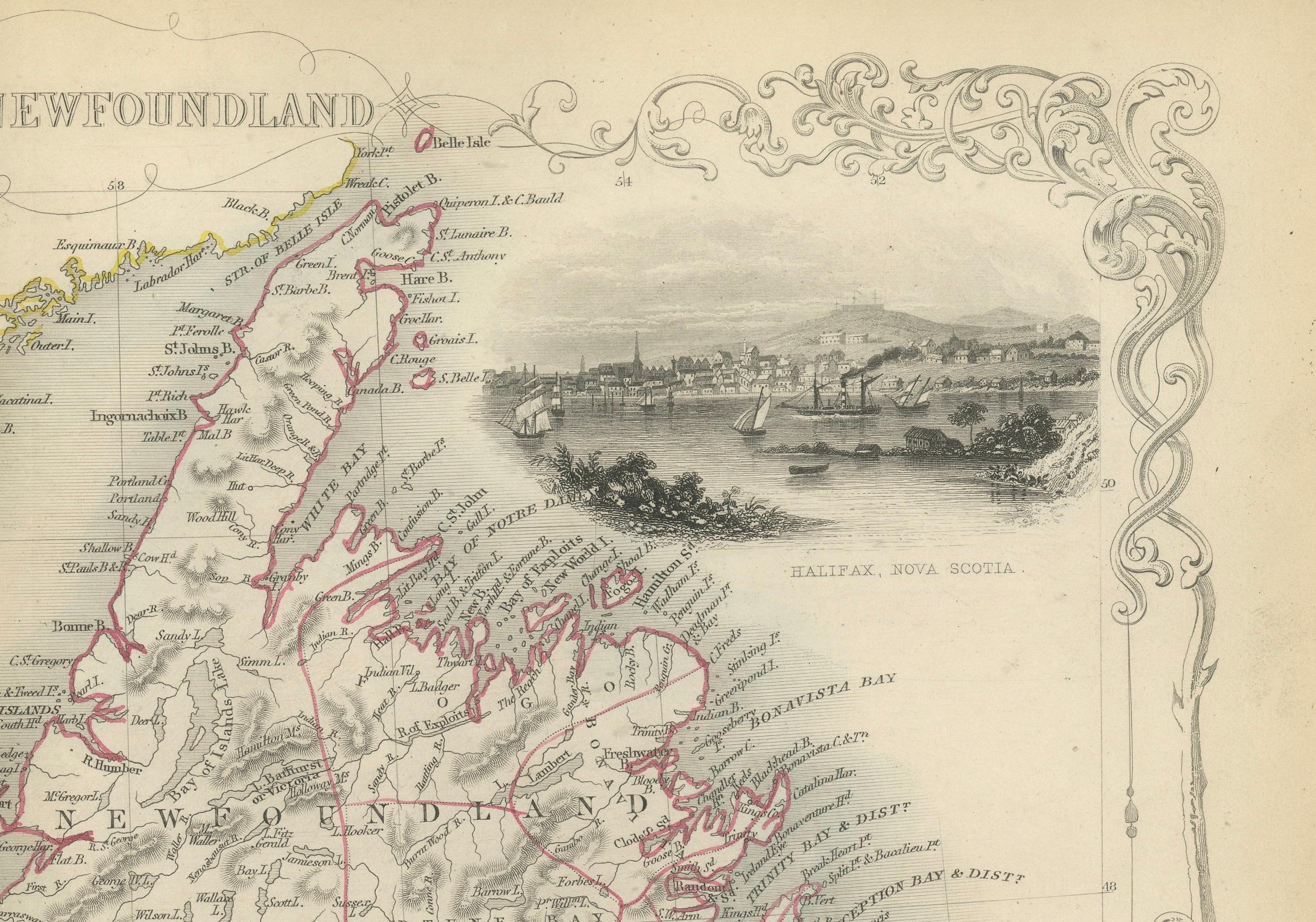
In the top-left corner, there appear to be two inset illustrations of celestial bodies, possibly the Moon, suggesting an interest in broader natural phenomena or simply serving as a decorative element. The top-right corner features a vignette of Halifax, Nova Scotia, showcasing the city’s prominent buildings and natural harbor, which was strategically important to the British Empire. The bottom-right vignette likely depicts a typical scene of the cod fishery in Newfoundland, highlighting the economic activity of the region.
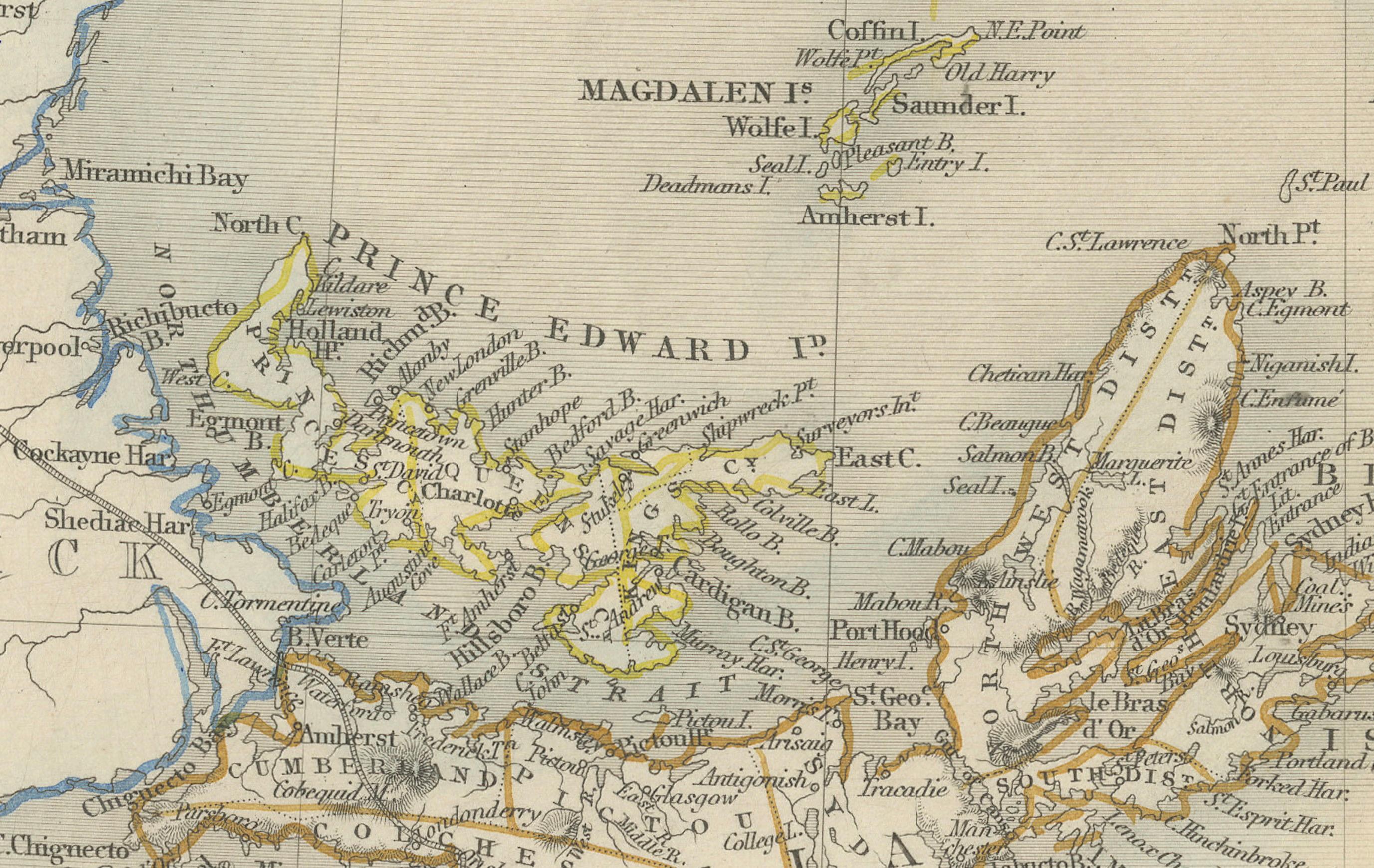
The map's detailed geographic features are color-coded, depicting the intricate coastline, rivers, and relief of the land. The decorative borders and vignettes are hallmarks of Tallis maps, making them attractive to collectors and historians alike.
Tallis maps are valued not only for their geographic content but also for their representation of British perceptions and interests during the height of the British Empire. They were meant to be both educational and a reaffirmation of the Victorian world view, and they remain a significant resource for understanding the era's historical and cultural contexts.