About this sheet
Antique Map of Noord-Brabant – Sleeswijk Atlas, 1914
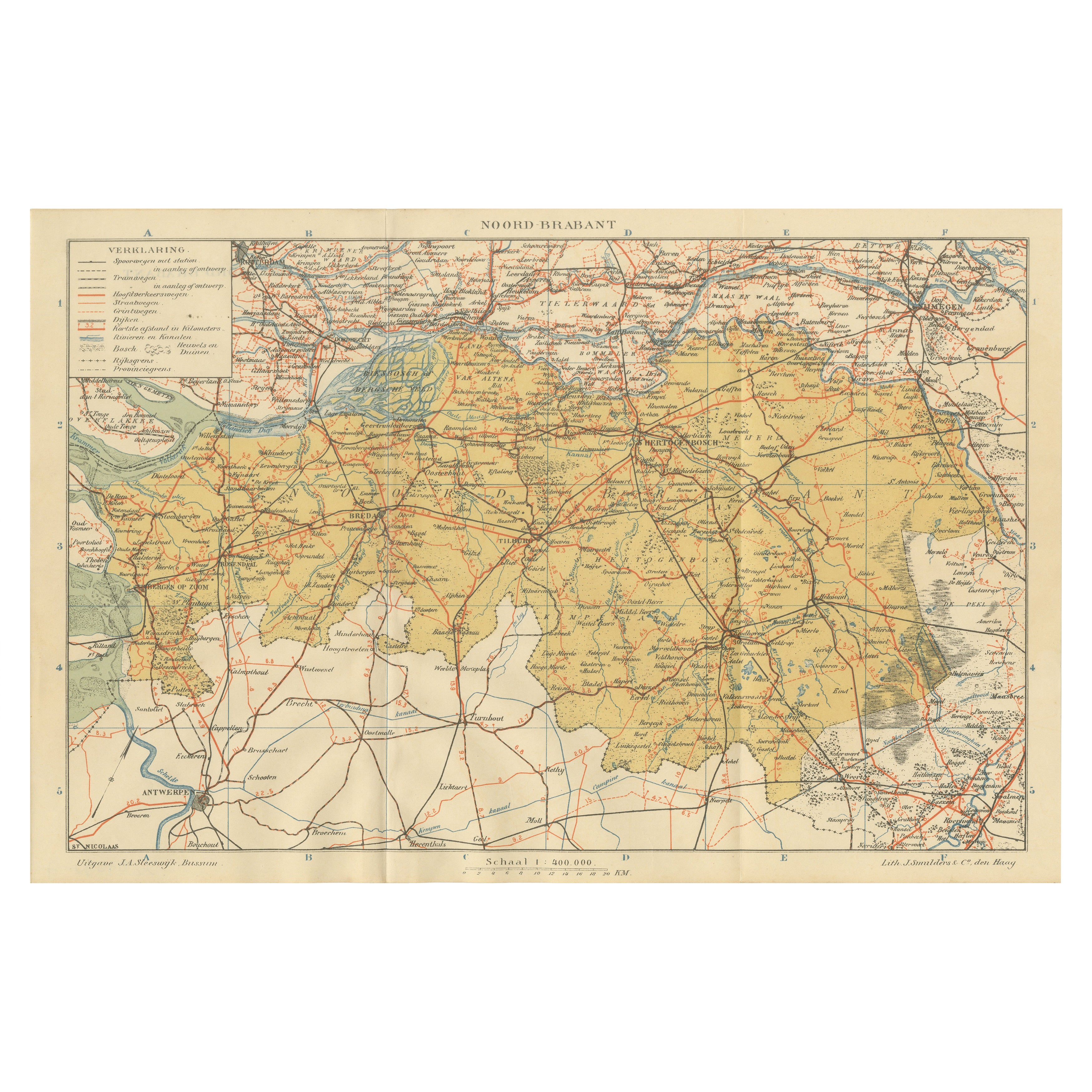
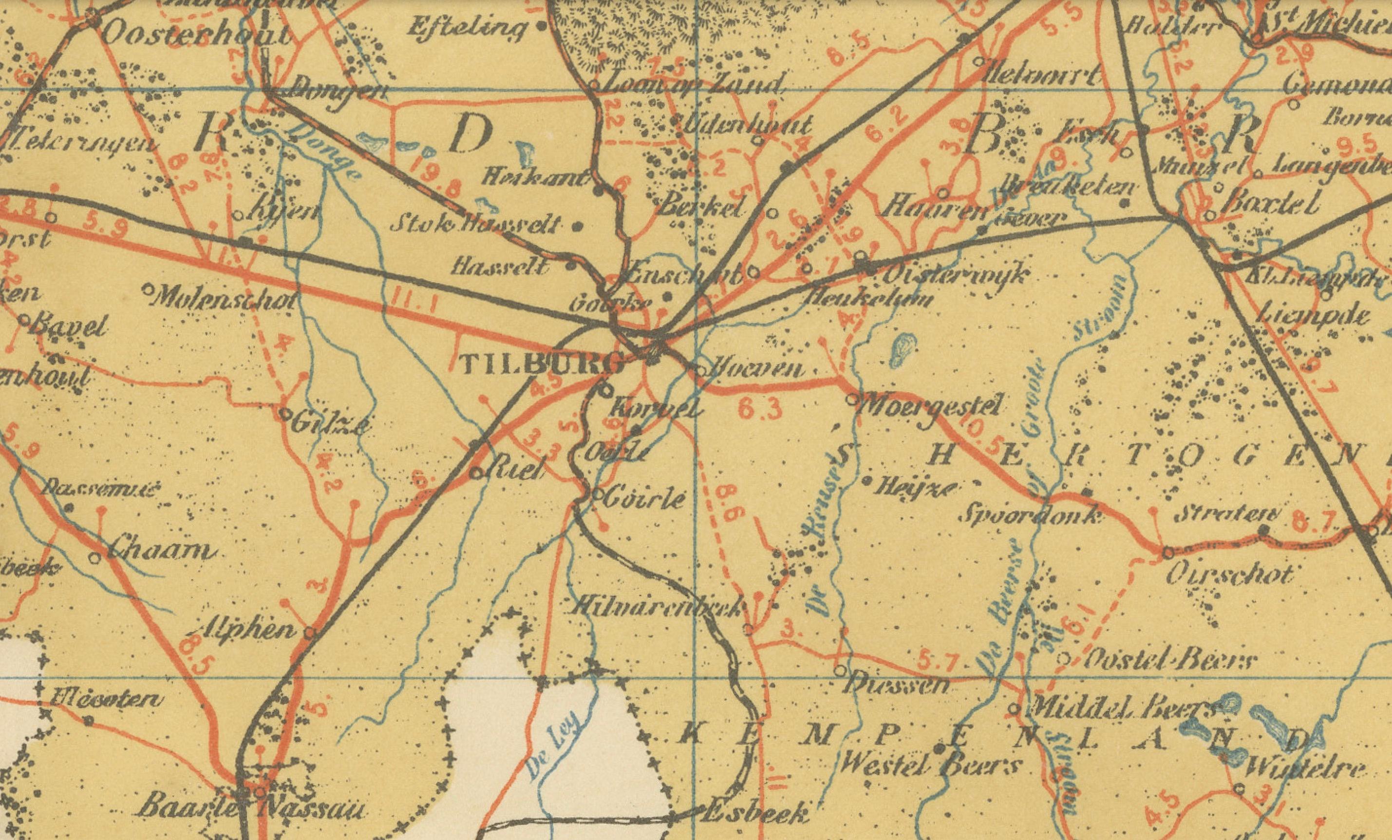
This antique map of Noord-Brabant was published in 1914 in the Sleeswijk Atlas, a prominent Dutch school atlas that documented the geography of the Netherlands for classroom use in the early 20th century. It presents Noord-Brabant, the southern province bordering Belgium, known for its fertile lands, growing towns, and strong historical ties to Antwerp and the southern Low Countries.
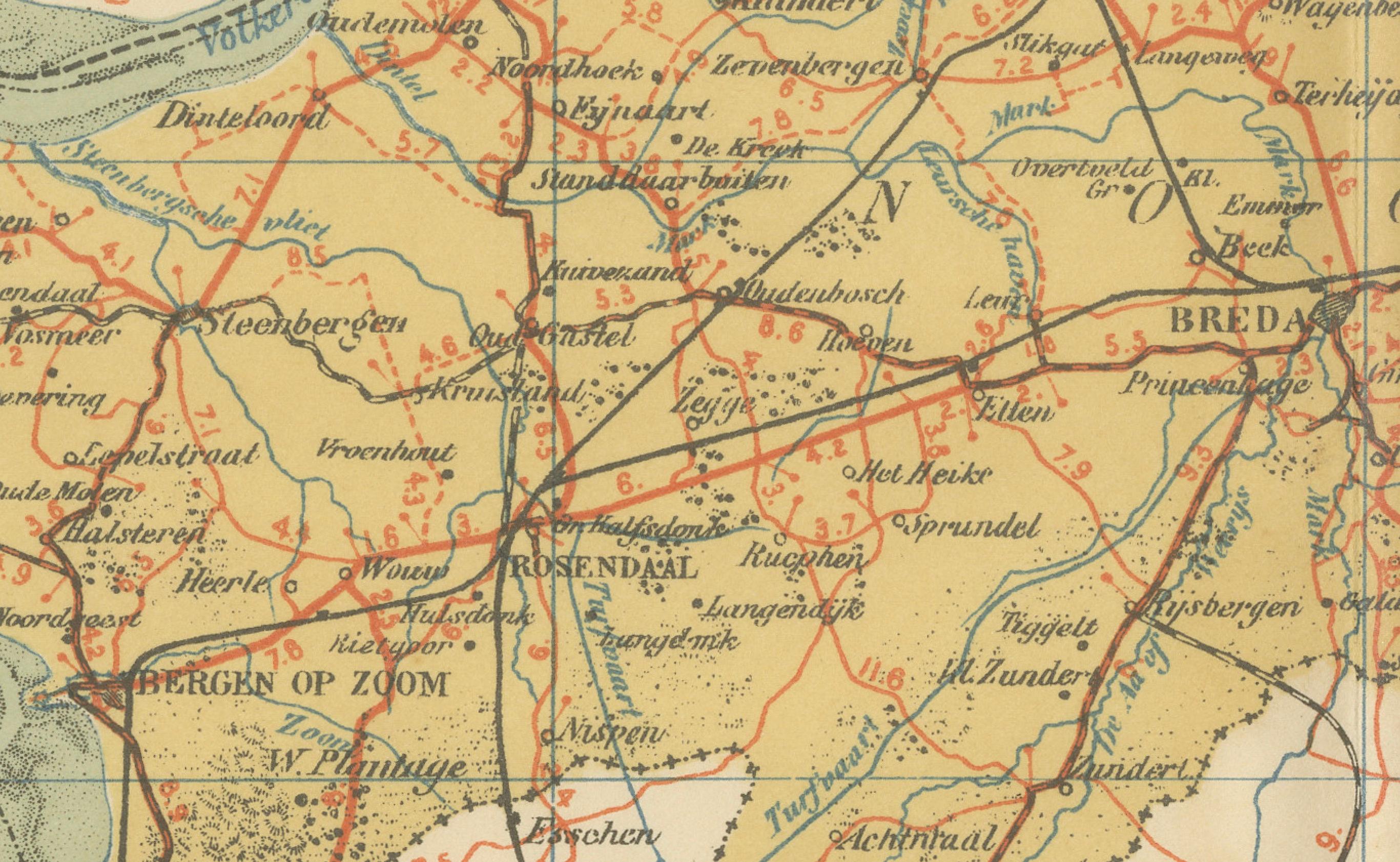
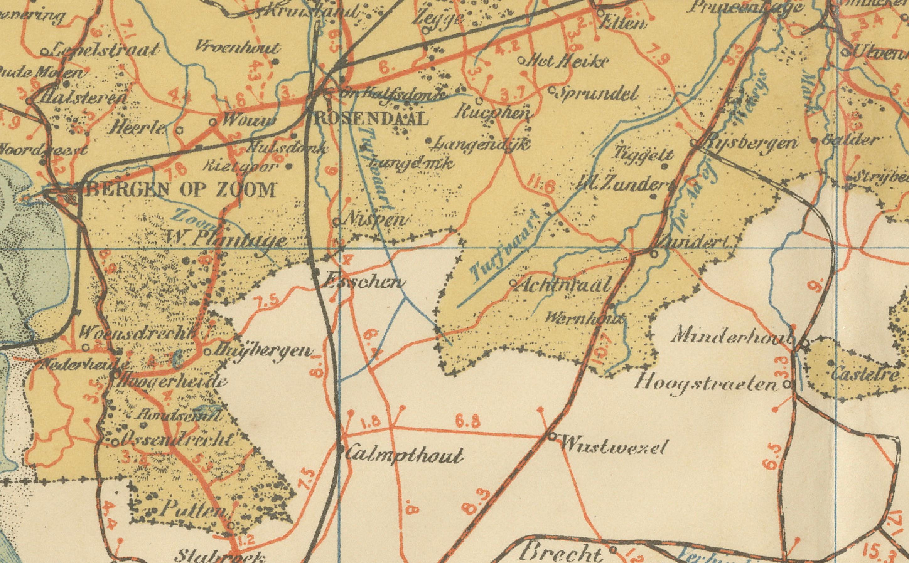
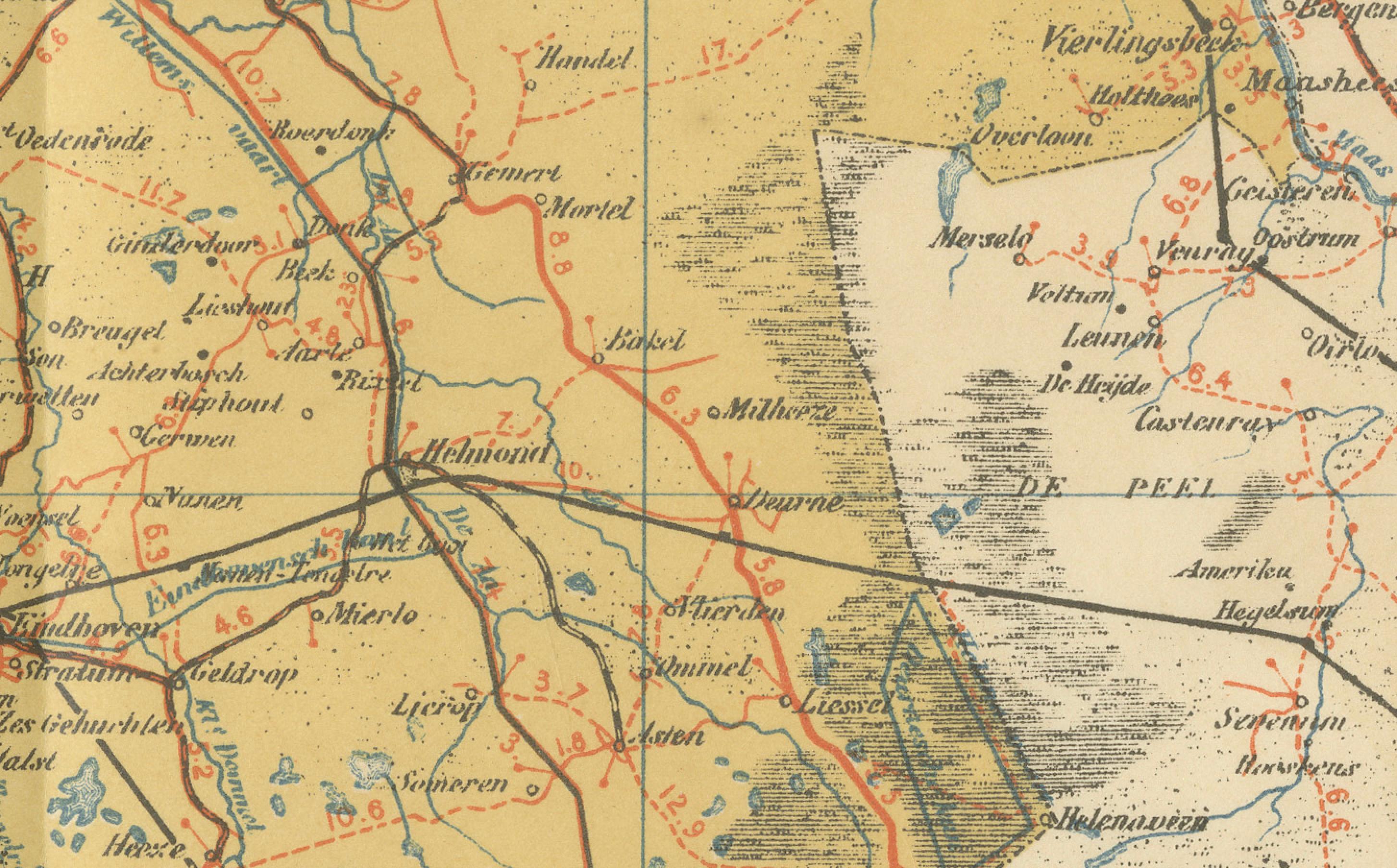
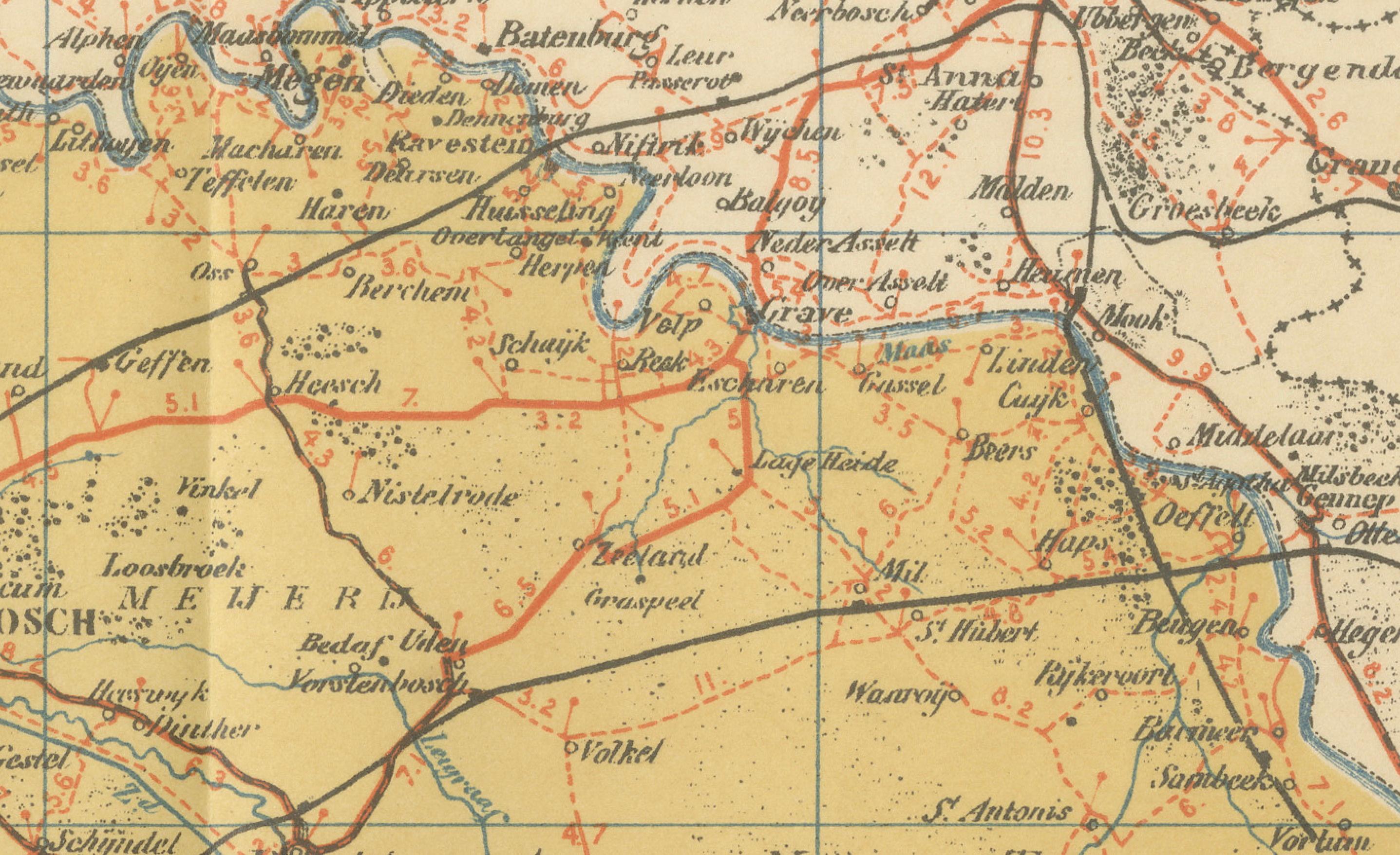
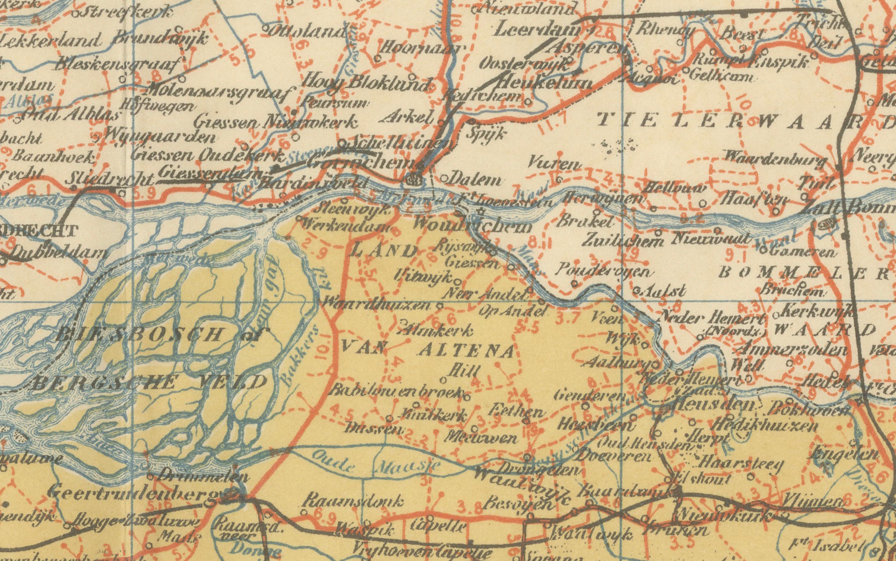
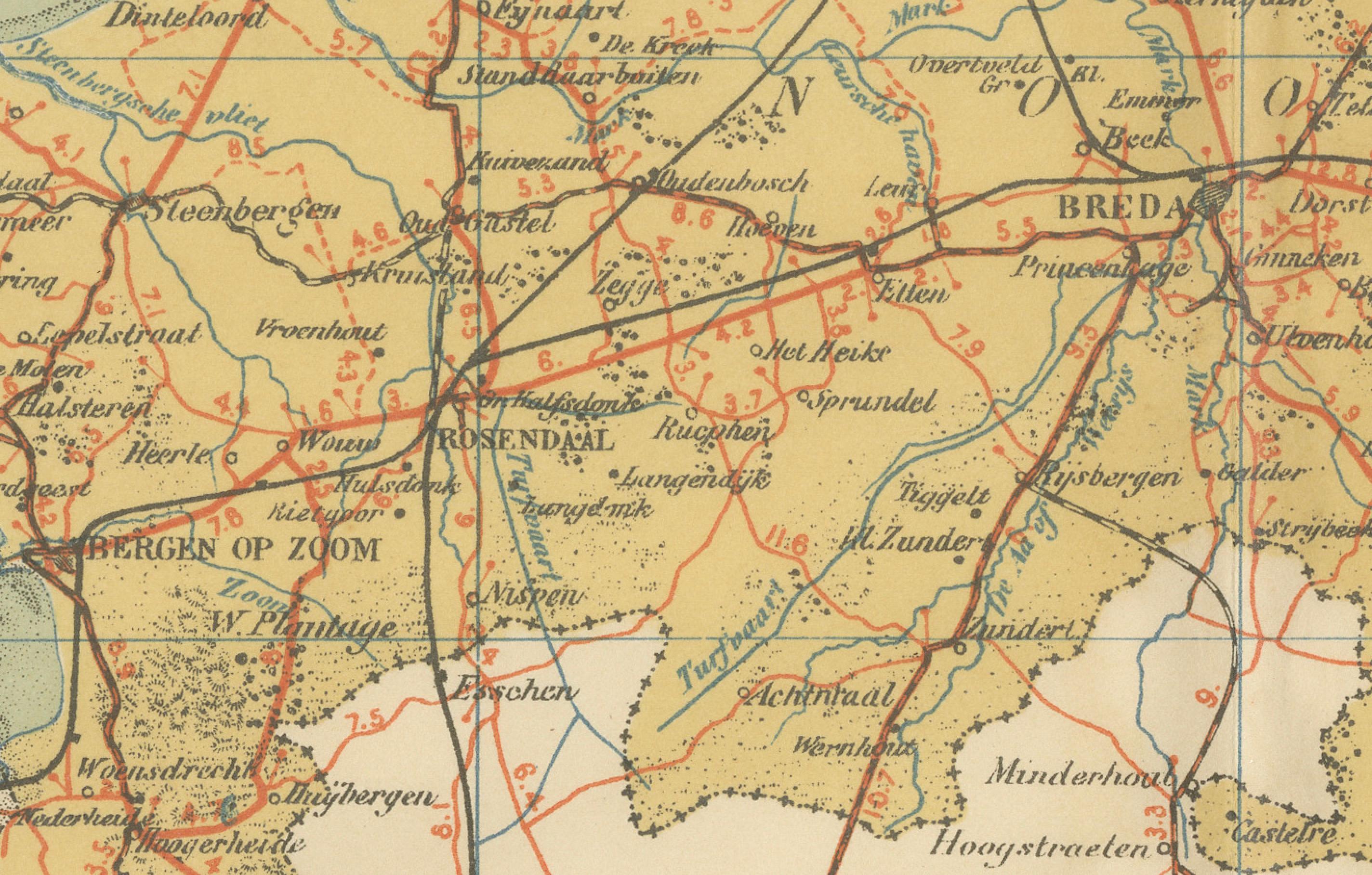
The map spans from the western border near Bergen op Zoom and Breda across to ’s-Hertogenbosch and Eindhoven, and further east toward the Peel region. In the south, it shows the Belgian frontier with Antwerp, where the dense network of railways and roads emphasizes the close cross-border connections. Major towns such as Breda, Tilburg, Eindhoven, and ’s-Hertogenbosch are prominently marked, as well as many smaller villages, reflecting the province’s rapidly developing infrastructure at the beginning of the 20th century.
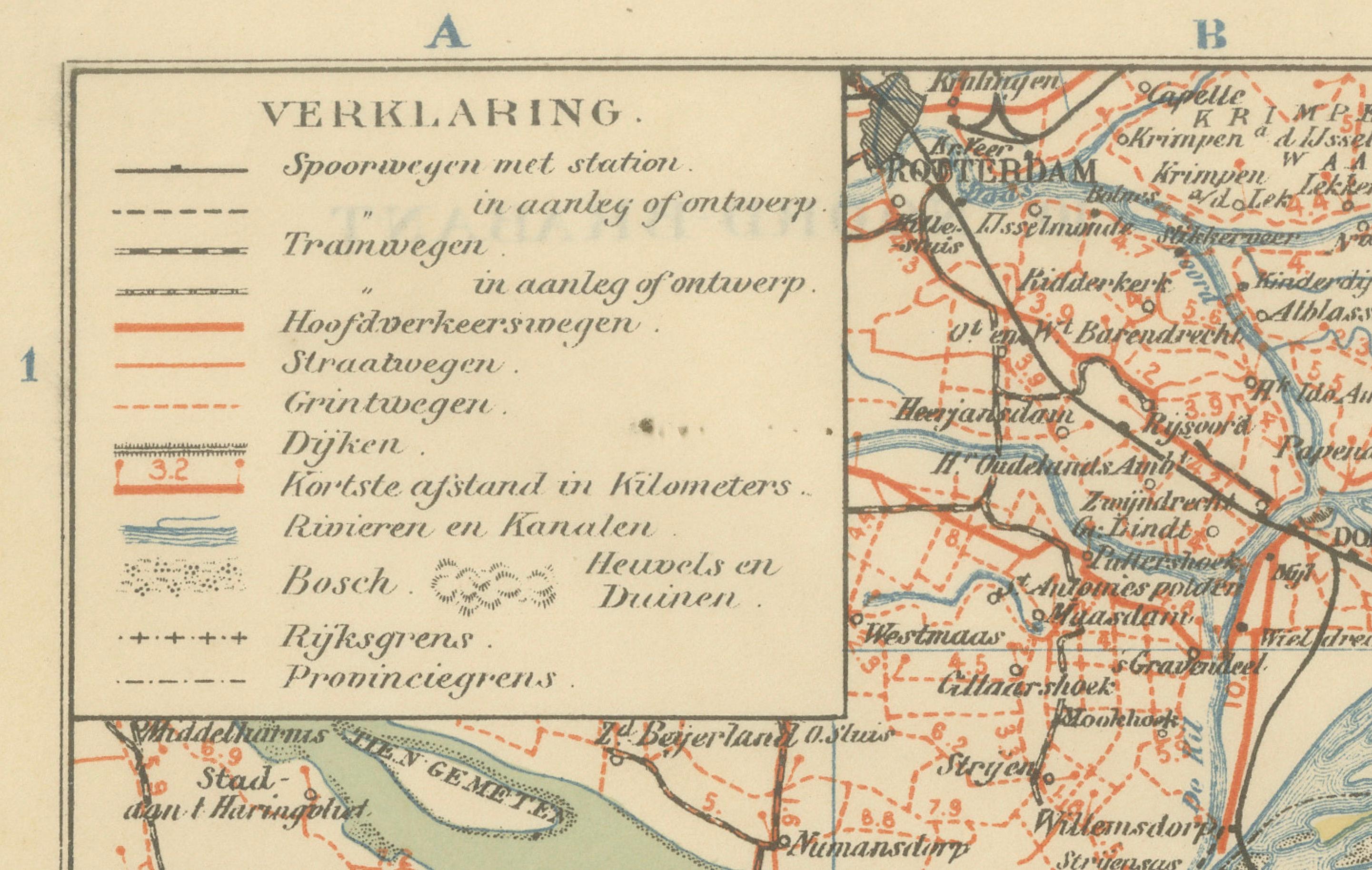
The cartography highlights rivers, canals, and polders, as well as the expanding railway system indicated in red. The legend (“Verklaring”) provides detailed explanations of tramways, main and secondary roads, waterways, dikes, and boundaries. With its scale of 1:400,000, the map balances precision with clarity, making it both a useful educational tool and a historical artifact.
Published by A. Sleeswijk in Bussum and lithographed by J. Smulders & Co. in The Hague, the map combines practical geography with attractive coloring and clear typography. It reflects the importance of Noord-Brabant in Dutch history and its role as a bridge between the Netherlands and Belgium.
Condition report: Very good condition with original centerfold as issued. Minor toning and light handling traces along the margins. Plate mark visible. Colors remain strong and well preserved.
Framing tips: A cream or ivory mat will enhance the pastel coloring, while a dark wood or black frame provides a balanced modern look. A gilt frame is suitable for a traditional, decorative style that highlights the historical importance of the map.
Technique: Lithograph with original color
Maker: A. Sleeswijk, Bussum / J. Smulders & Co., The Hague, 1914