About this sheet
Antique Map of Limburg – Sleeswijk Atlas, 1914
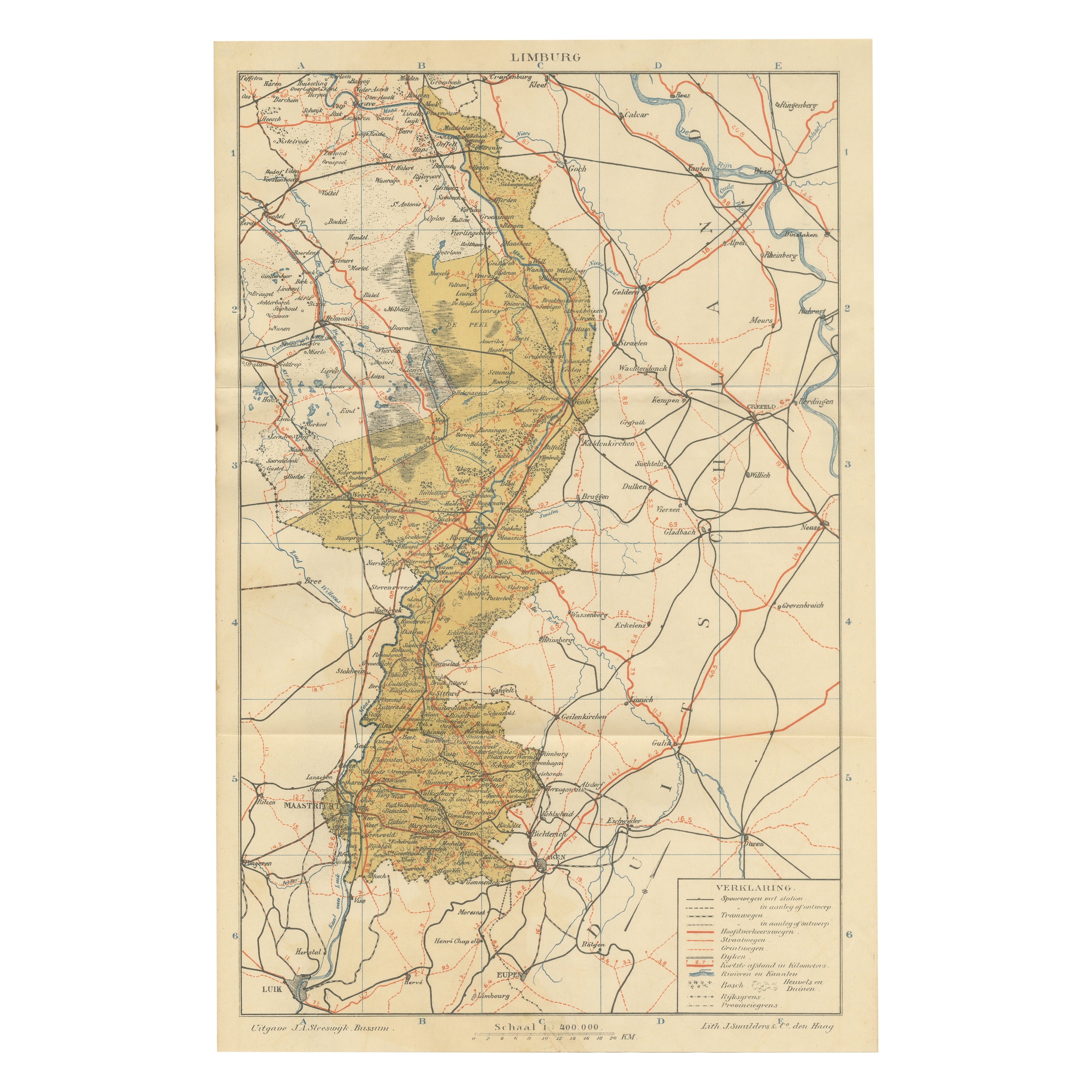
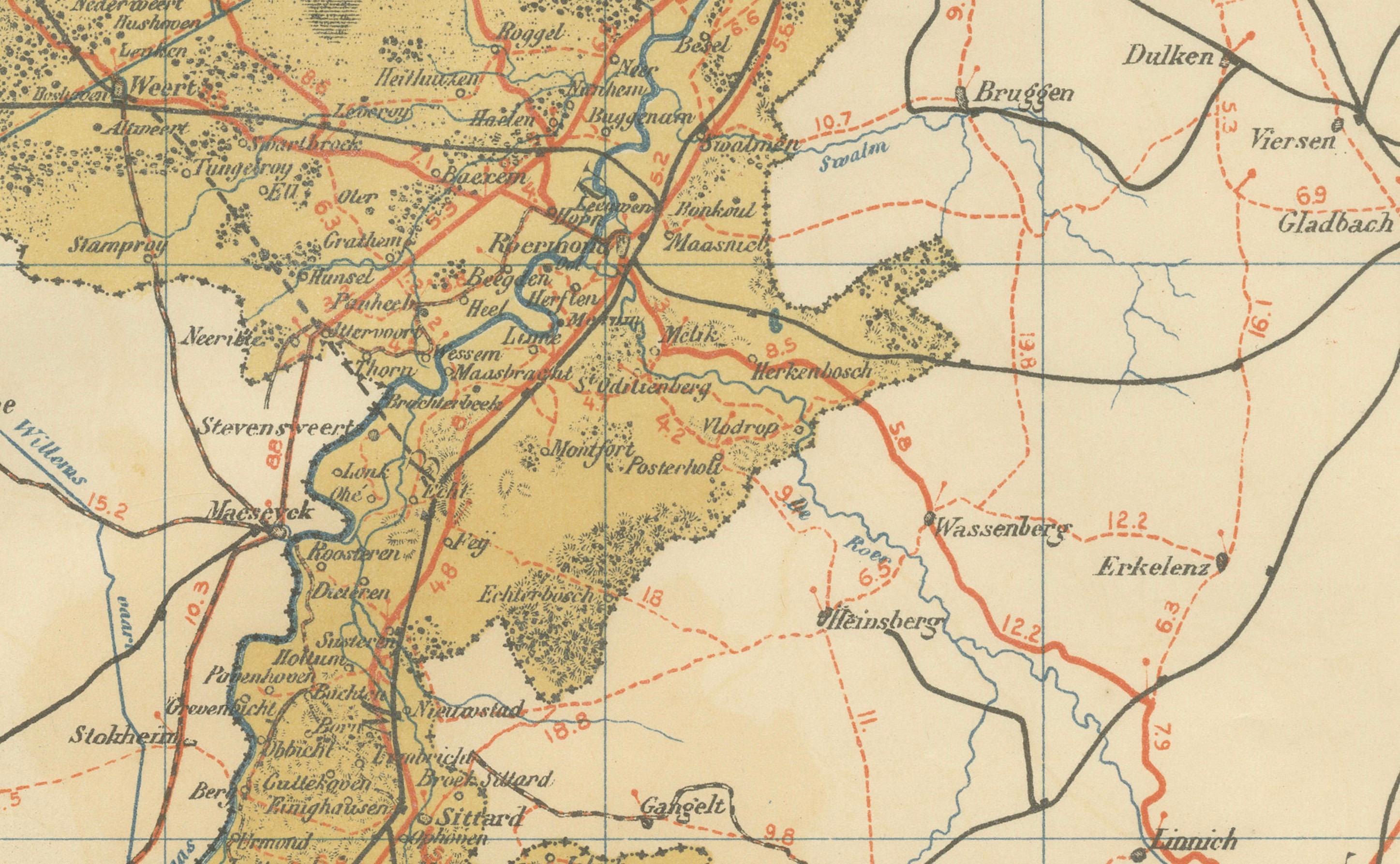
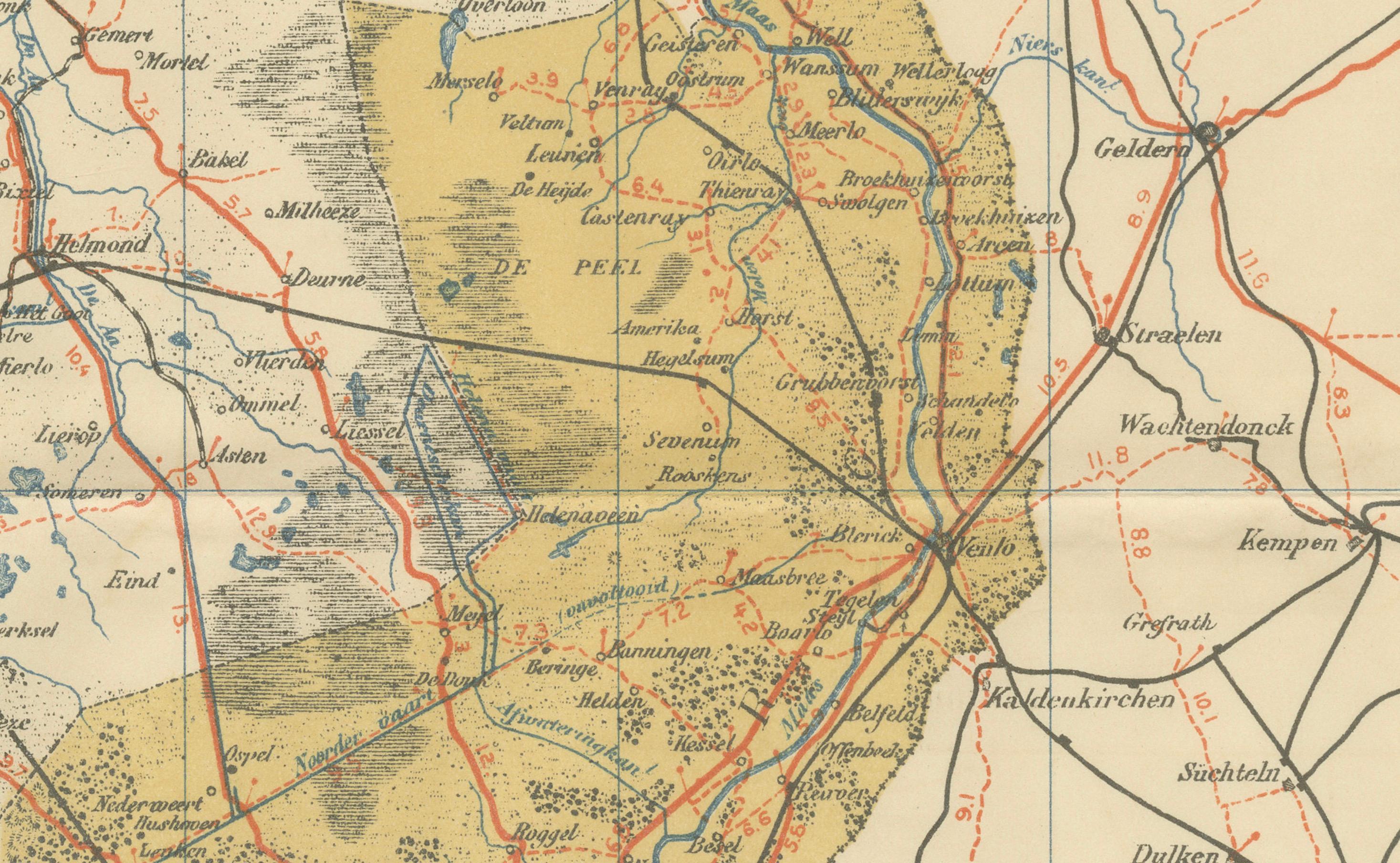
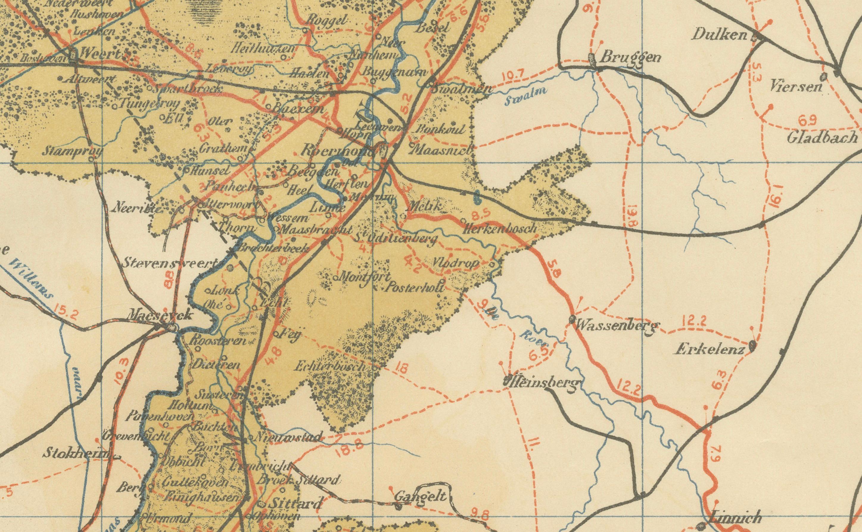
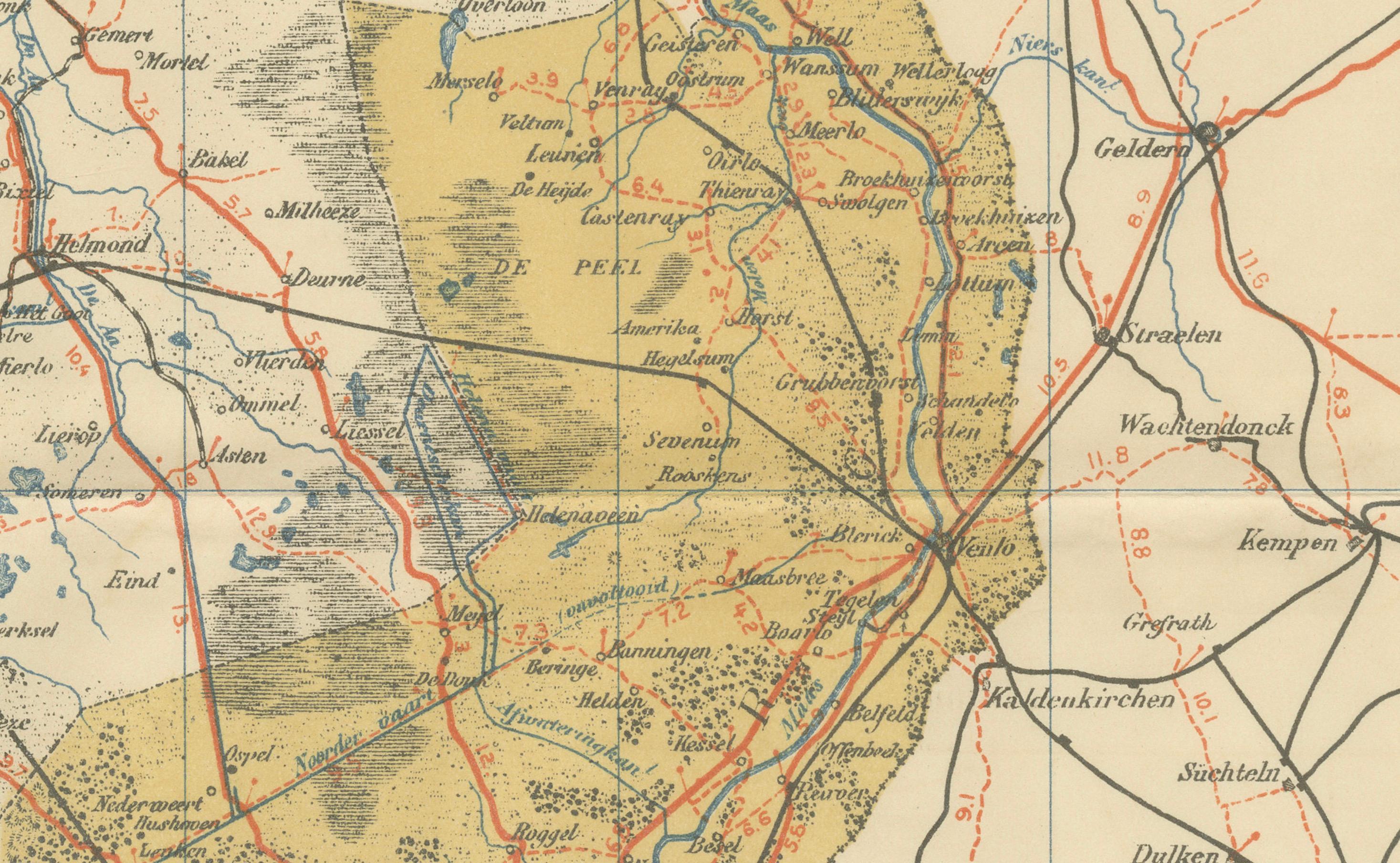
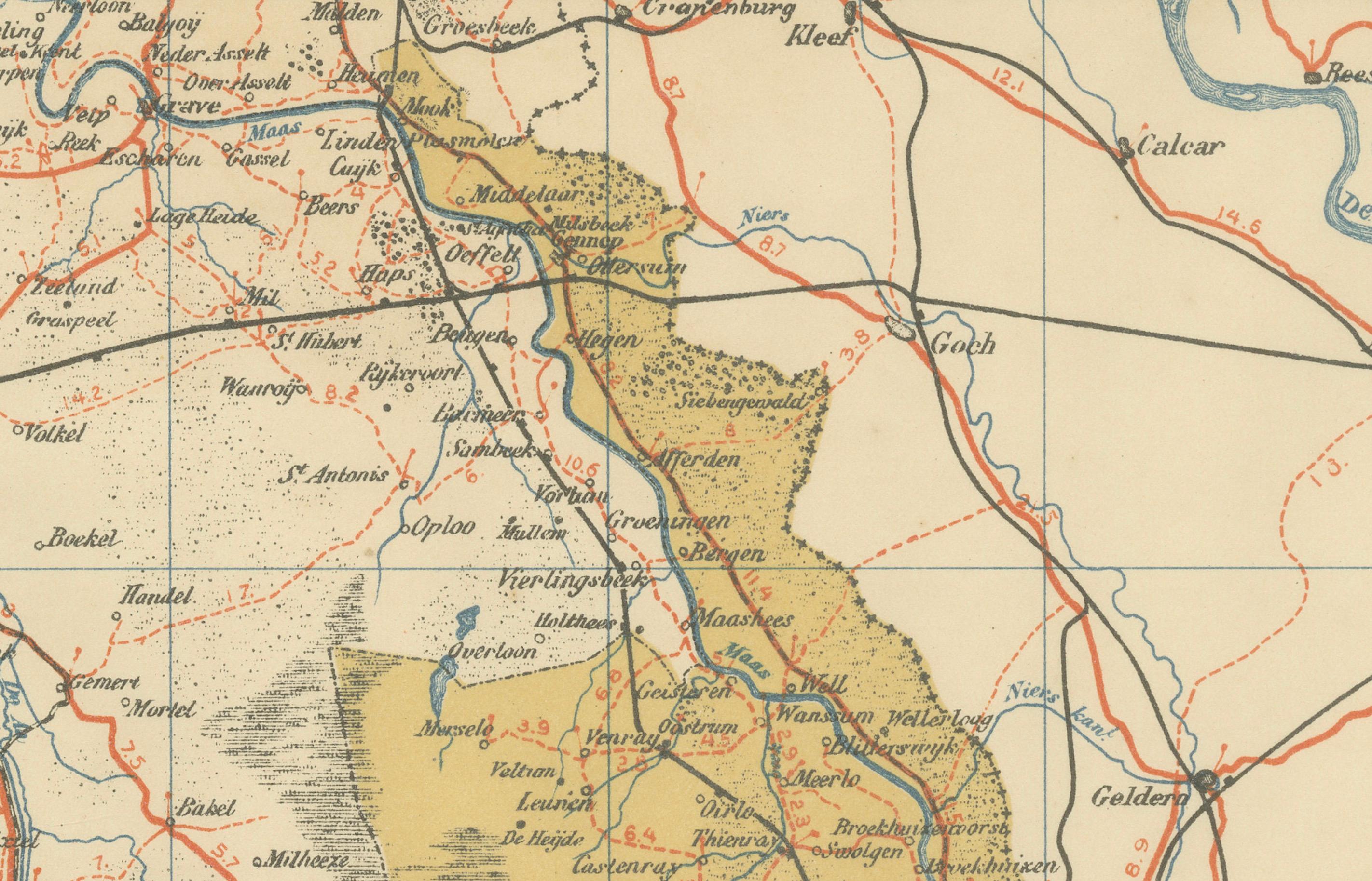
This antique map of Limburg was published in 1914 in the Sleeswijk Atlas, a widely used Dutch school atlas of the early 20th century. It depicts the distinctive southernmost province of the Netherlands, with its elongated shape stretching between Belgium and Germany, making it unique in both geography and culture.
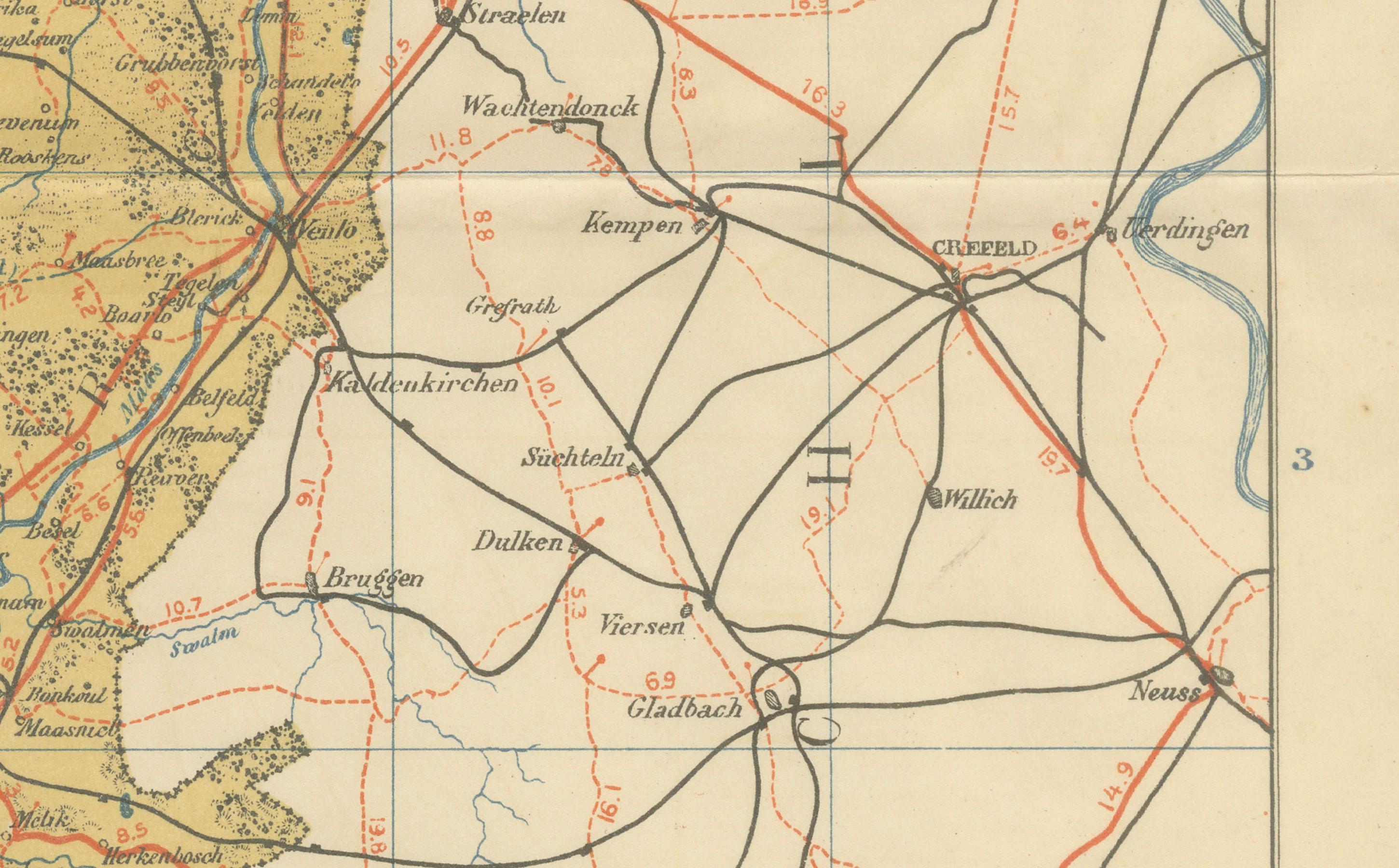
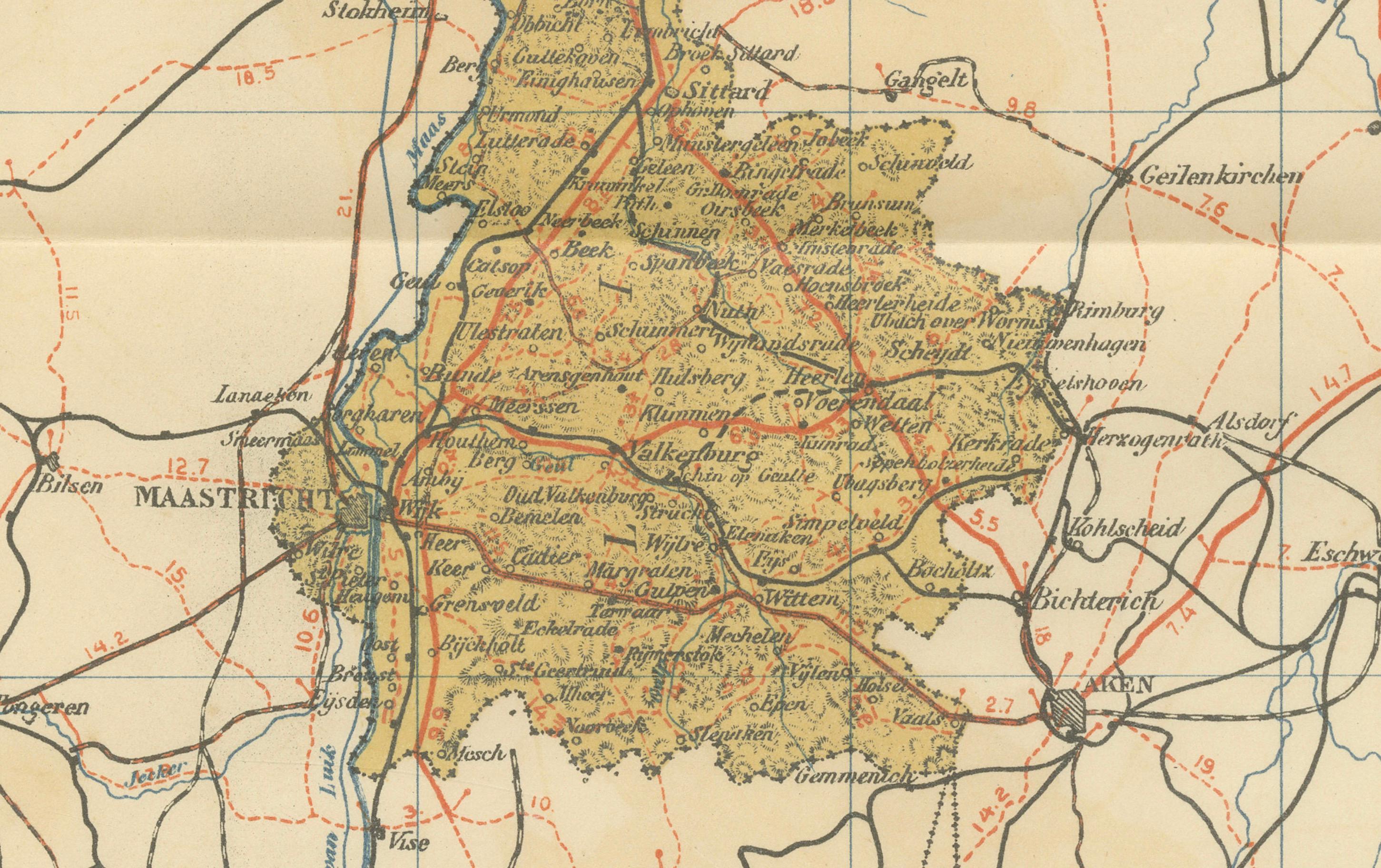
The map covers the province from Venlo in the north through Roermond and Sittard to the capital Maastricht in the south, and further to the Belgian border with Liège (Luik). It highlights Limburg’s important towns and villages, as well as its position within a dense network of international railways and roads that connected it directly with Germany and Belgium. Red lines mark the expanding railway system, which had a transformative impact on trade and industry in Limburg at the time.
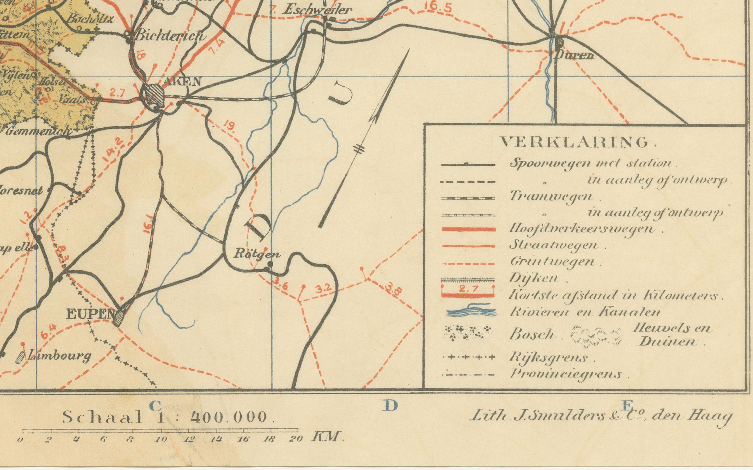
Characteristic features of the Limburg landscape are carefully shown, including the hilly regions around Valkenburg and Heerlen, the river valleys of the Maas (Meuse), and the fertile agricultural plains. Industrial growth in the early 20th century, particularly coal mining around Heerlen and Kerkrade, is reflected in the prominence of railway connections. The legend (“Verklaring”) explains symbols for tramways, roads, waterways, dikes, and boundaries. With a scale of 1:400,000, the map combines clarity with detail, serving both as a teaching tool and a document of regional development.
Published by A. Sleeswijk in Bussum and lithographed by J. Smulders & Co. in The Hague, the map exemplifies the cartographic precision and clean design that made the Sleeswijk Atlas a mainstay of Dutch classrooms. Today, it offers collectors and historians an appealing snapshot of Limburg at the eve of World War I, when its borderland position played a critical role in shaping its history.
Condition report: Very good condition with original centerfold as issued. Minor toning and light handling marks at the margins. Plate mark visible. Colors remain clear and well preserved.
Framing tips: A cream or ivory mat will complement the warm tones of the map, while a slim black or dark wood frame offers a clean, timeless look. For a more classical effect, a gilt frame brings out the decorative and historical qualities of the map.
Technique: Lithograph with original color
Maker: A. Sleeswijk, Bussum / J. Smulders & Co., The Hague, 1914