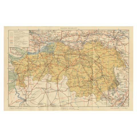
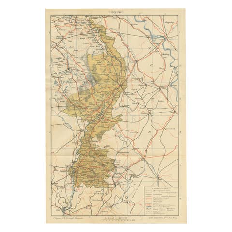
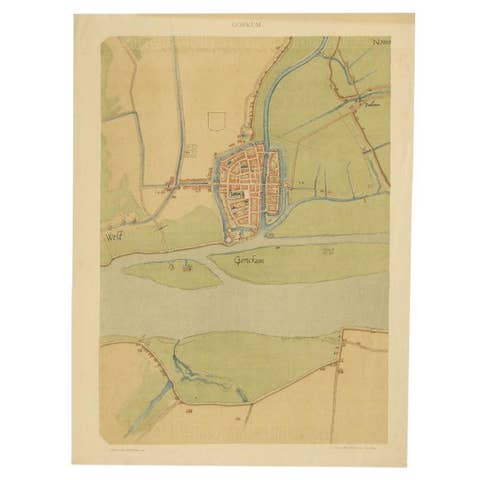
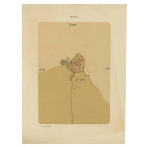
Antique Dutch Map of Gelderland – Sleeswijk Provincial Atlas, 1914
€ 210
One of a kind: this is the sheet in the photographs. Ships from Langweer, the Netherlands.
Date
1914
Sheet size
23.8 × 36.3 cm (9.4 × 14.3 in)
Condition
Good
Reference
BG-07094-6
Condition
Condition report: Good condition with original centerfold as issued. Some light toning along the fold and lower margins, with minor handling signs. Plate mark visible. Colors remain fresh and well preserved.
About this sheet
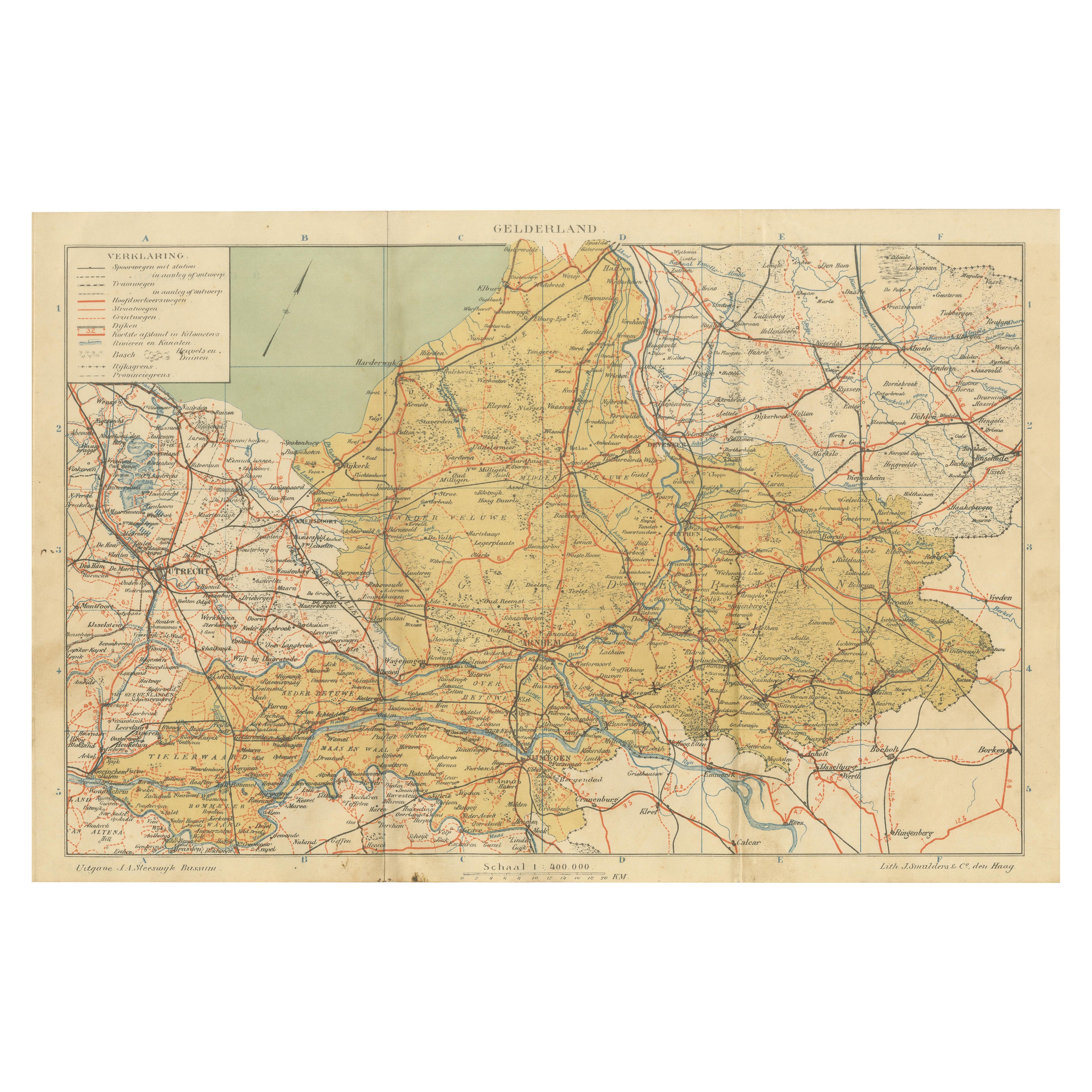
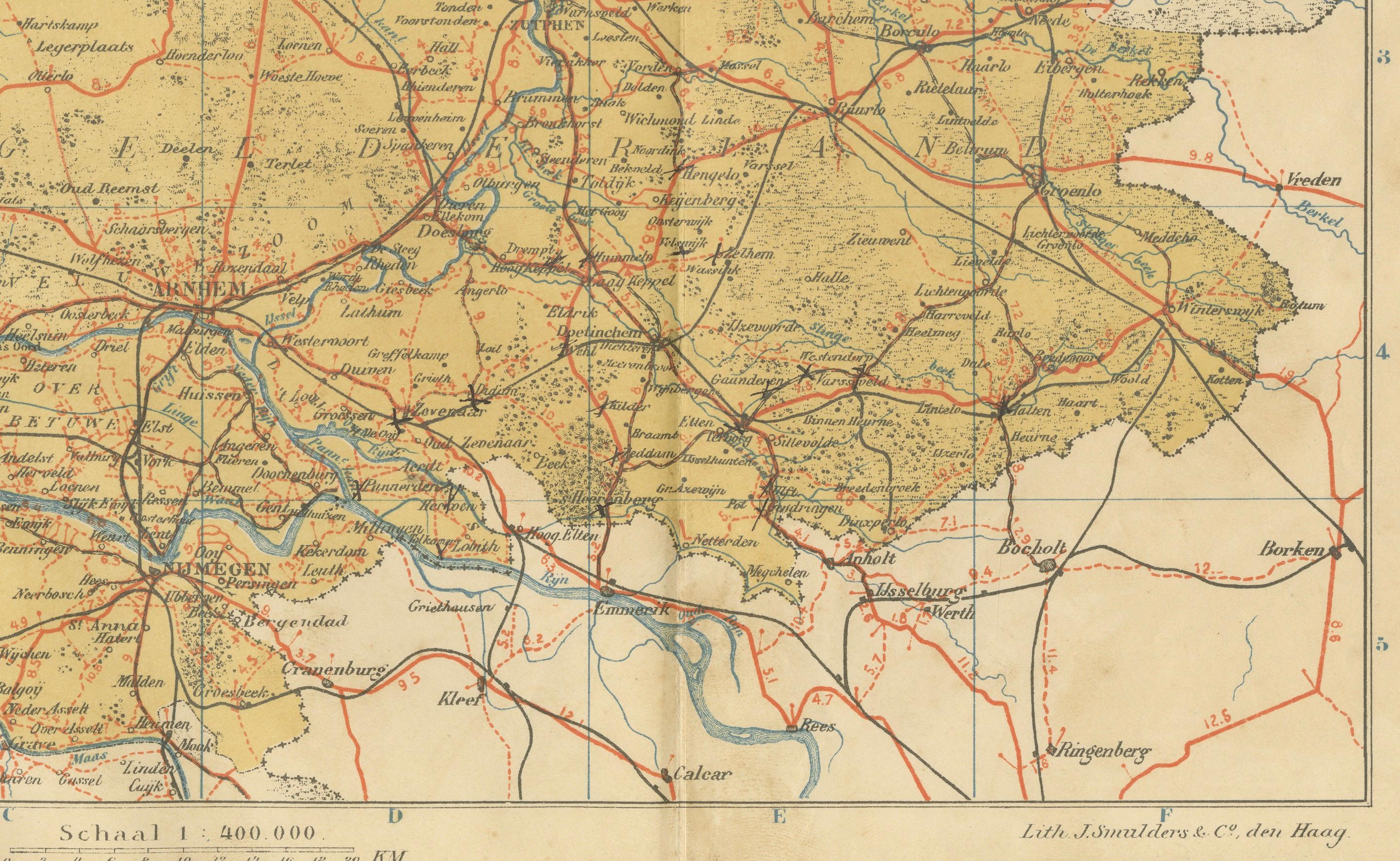
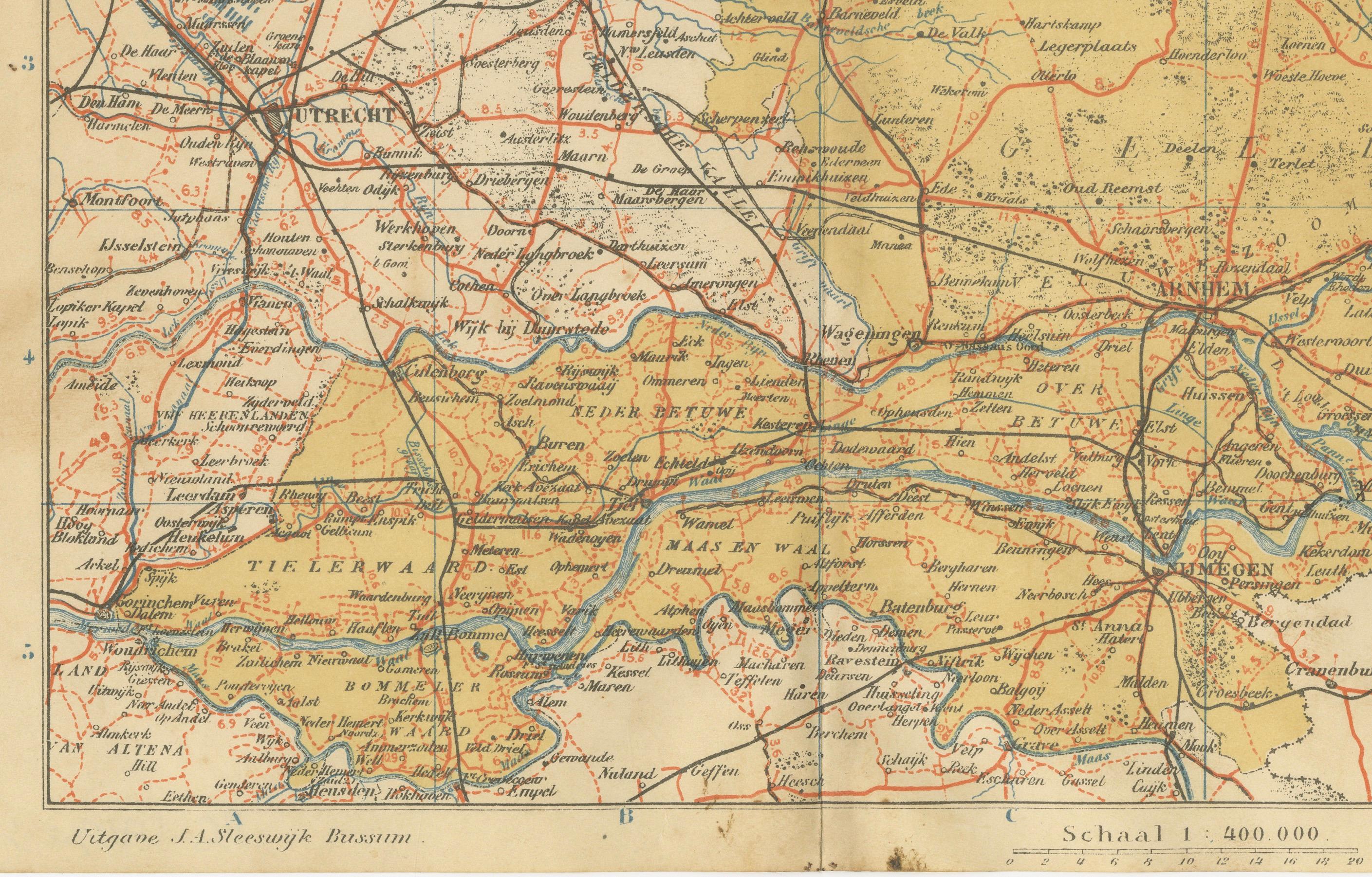
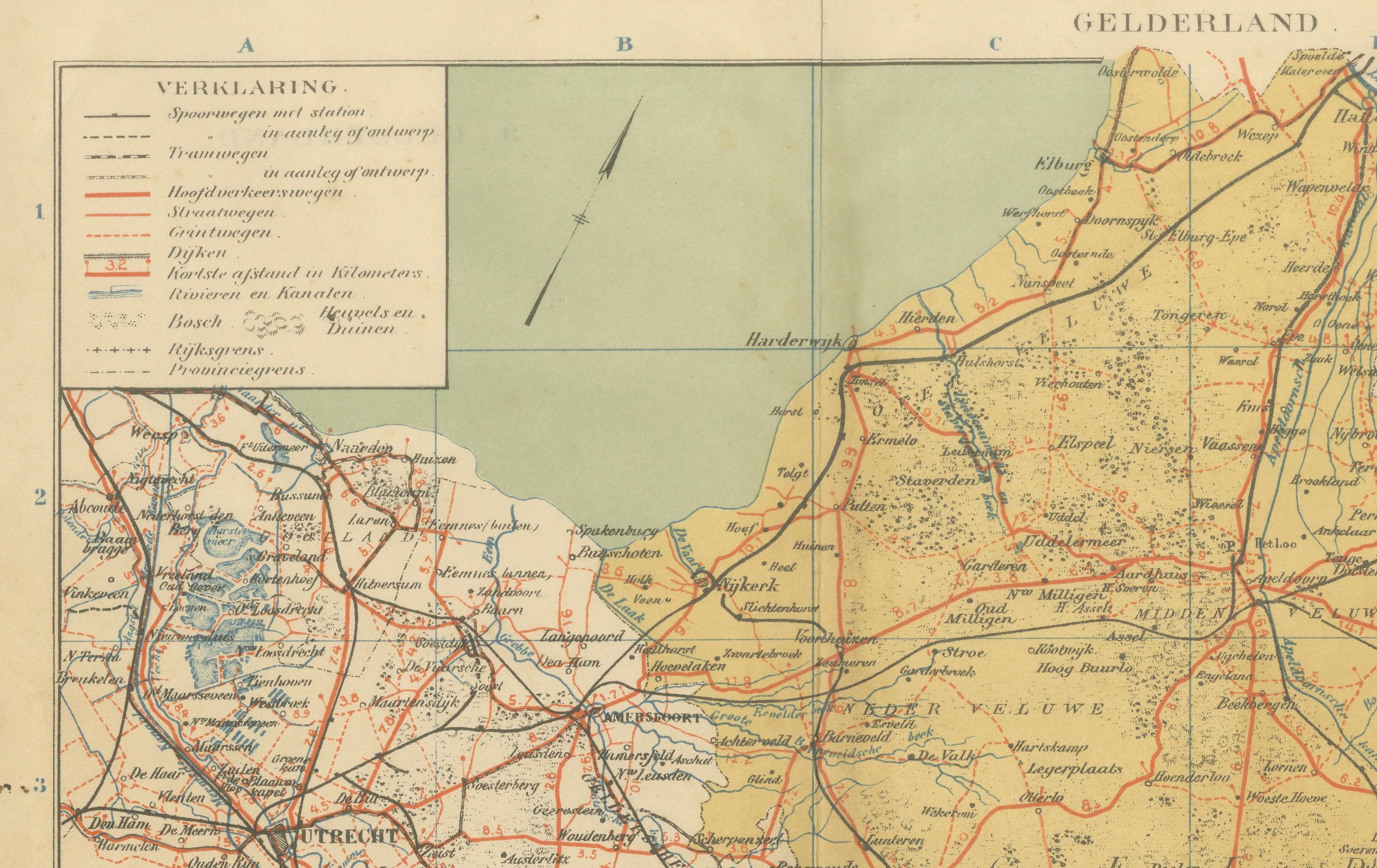
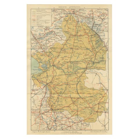
Antique Map of Gelderland – Sleeswijk Atlas, 1914 This antique map of Gelderland was published in 1914 in the Sleeswijk Atlas, one of the most widely used Dutch school atlases of the early 20th century. It depicts the largest province of the Netherlands, known for its varied landscapes ranging from river valleys to forests and heathlands.
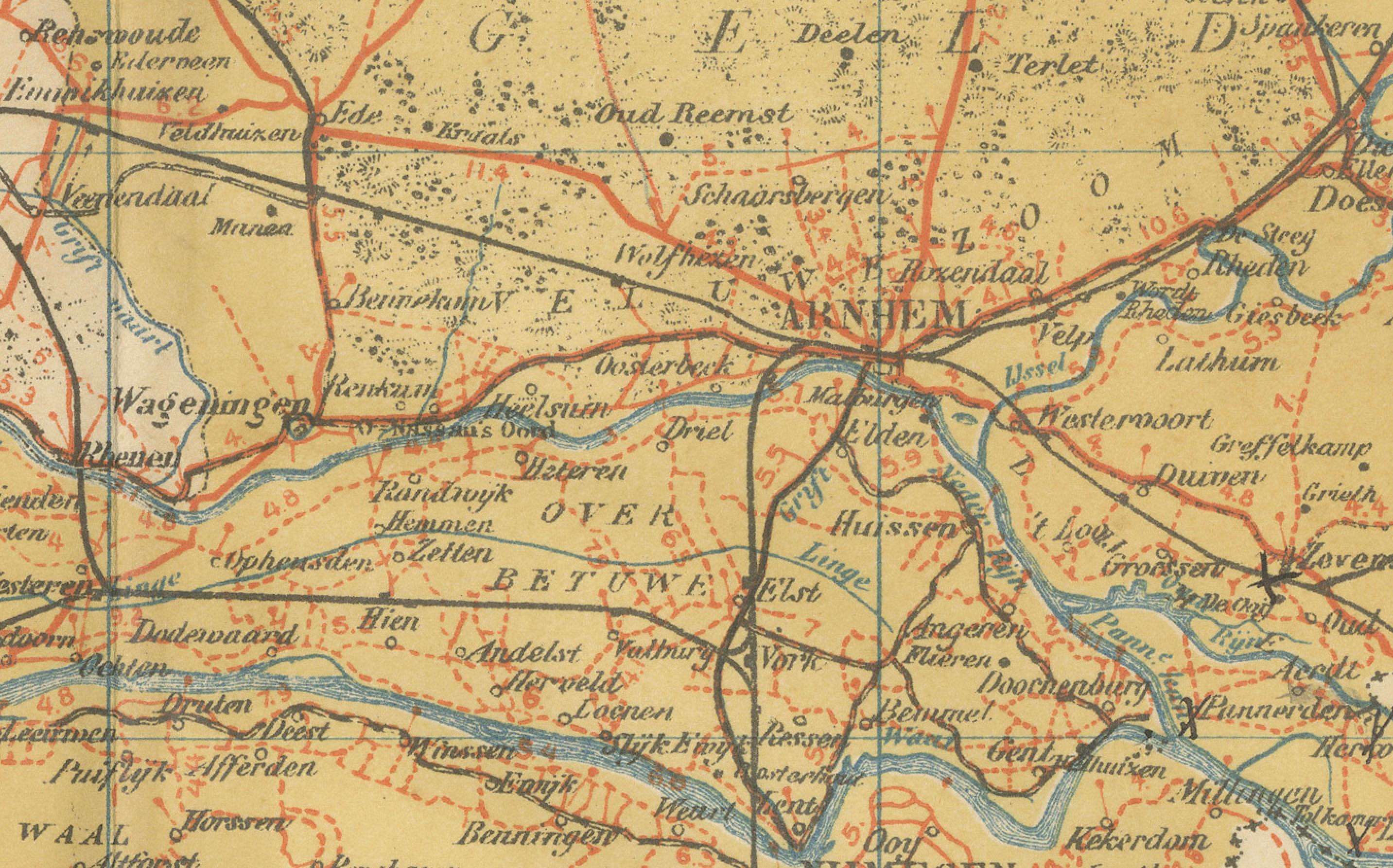
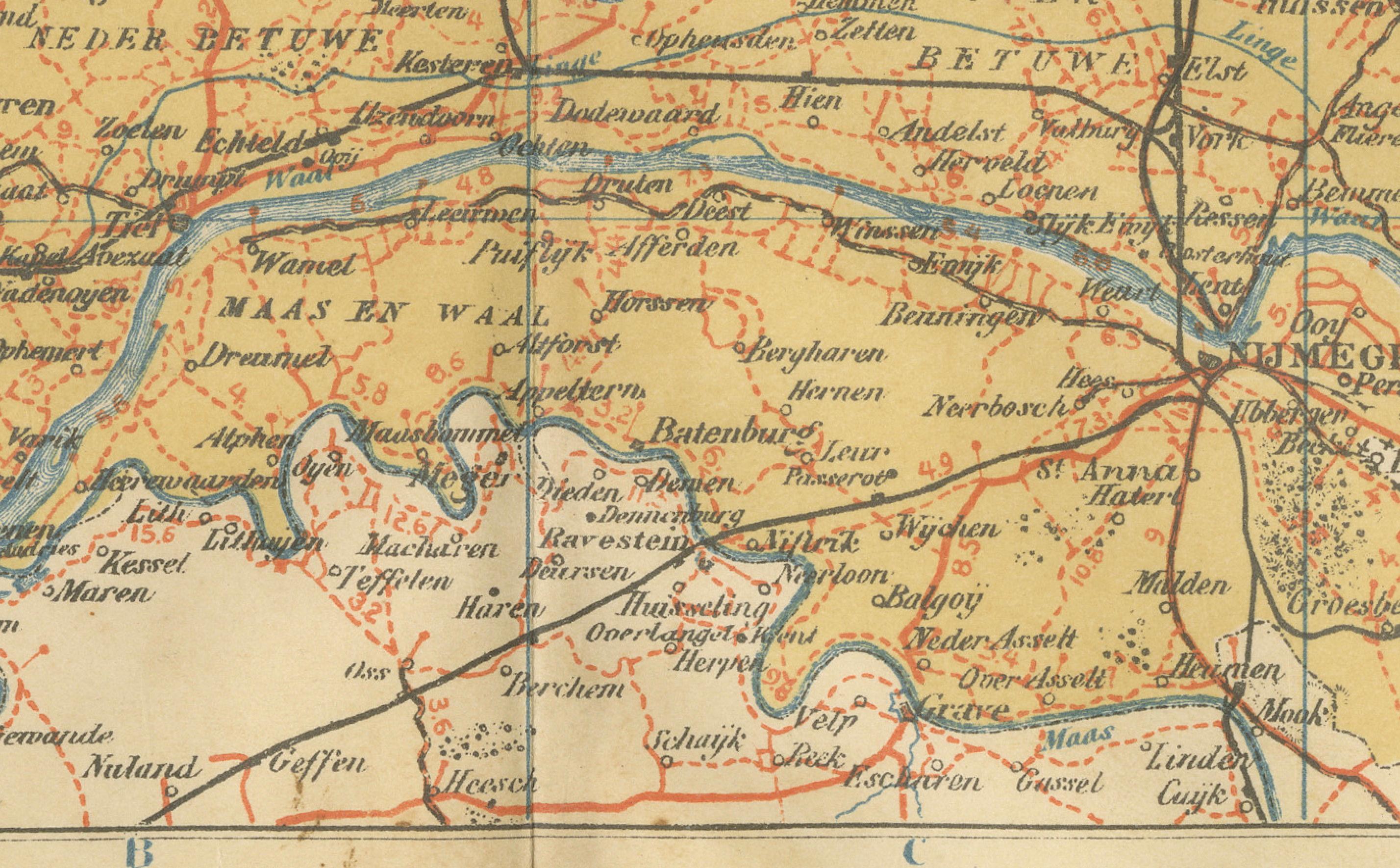
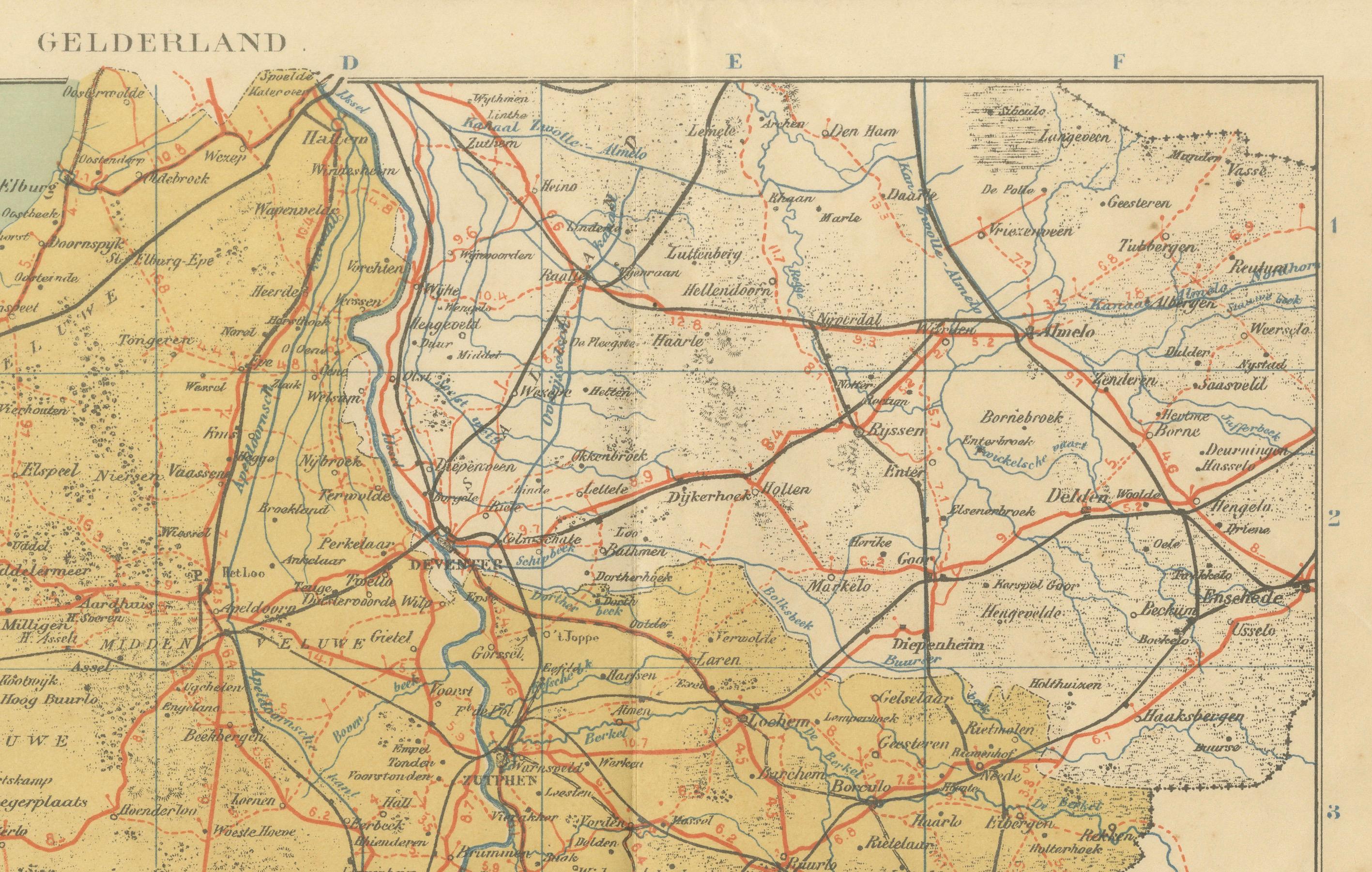
The map extends from Utrecht and the Randstad in the west across the Veluwe to the eastern borders with Germany, and from Harderwijk on the Zuiderzee down to Nijmegen and the Rhine valley in the south. Major cities such as Arnhem, Nijmegen, Zutphen, Apeldoorn, and Wageningen are prominently marked, alongside smaller towns and villages. The Veluwe region appears as an expansive sandy and wooded area in the center, contrasting with the fertile river lands of the Betuwe and the Liemers.
The extensive river system is carefully drawn, showing the courses of the Rhine, Waal, IJssel, and Maas as they cross the province. Red lines highlight the growing railway network that connected Gelderland to the rest of the Netherlands and Germany. The legend (“Verklaring”) provides symbols for tramways, roads, waterways, boundaries, and dikes. With its scale of 1:400,000, the map is both precise and legible, designed for classroom use but today valued for its historic and decorative qualities.
Published by A. Sleeswijk in Bussum and lithographed by J. Smulders & Co. in The Hague, the map exemplifies early 20th-century Dutch educational cartography. Its balanced color scheme and clear typography make it both a practical learning tool and an attractive historical artifact.
Condition report: Good condition with original centerfold as issued. Some light toning along the fold and lower margins, with minor handling signs. Plate mark visible. Colors remain fresh and well preserved.
Framing tips: A light ivory or cream mat will complement the warm tones of the map, while a dark wood or slim black frame provides strong contrast for a timeless look. For a more classical presentation, a gilt frame enhances the historical appeal.
Technique: Lithograph with original color Maker: A. Sleeswijk, Bussum / J. Smulders & Co., The Hague, 1914