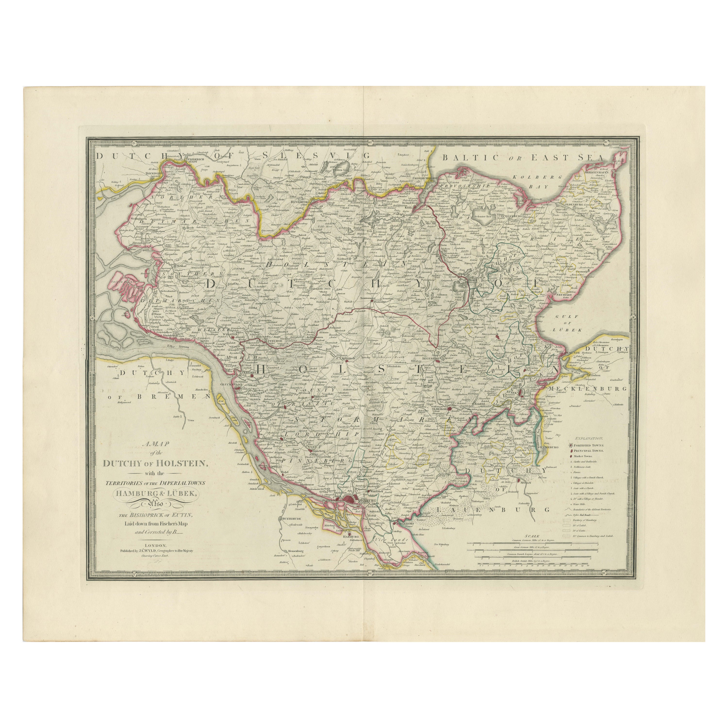
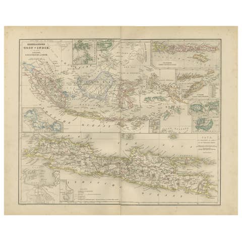
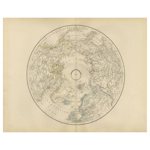
Map of the Dutchy of Holstein and the Territories of Hamburg & Lübek, 1875
€ 940
One of a kind: this is the sheet in the photographs. Ships from Langweer, the Netherlands.
Date
1875
Sheet size
59 × 72 cm (23.2 × 28.3 in)
Condition
Excellent
Reference
BG-13842-24
Condition
The map is in excellent condition for its age, printed on sturdy paper. There is minor toning consistent with its age but otherwise free from tears, stains, or significant folds.
About this sheet
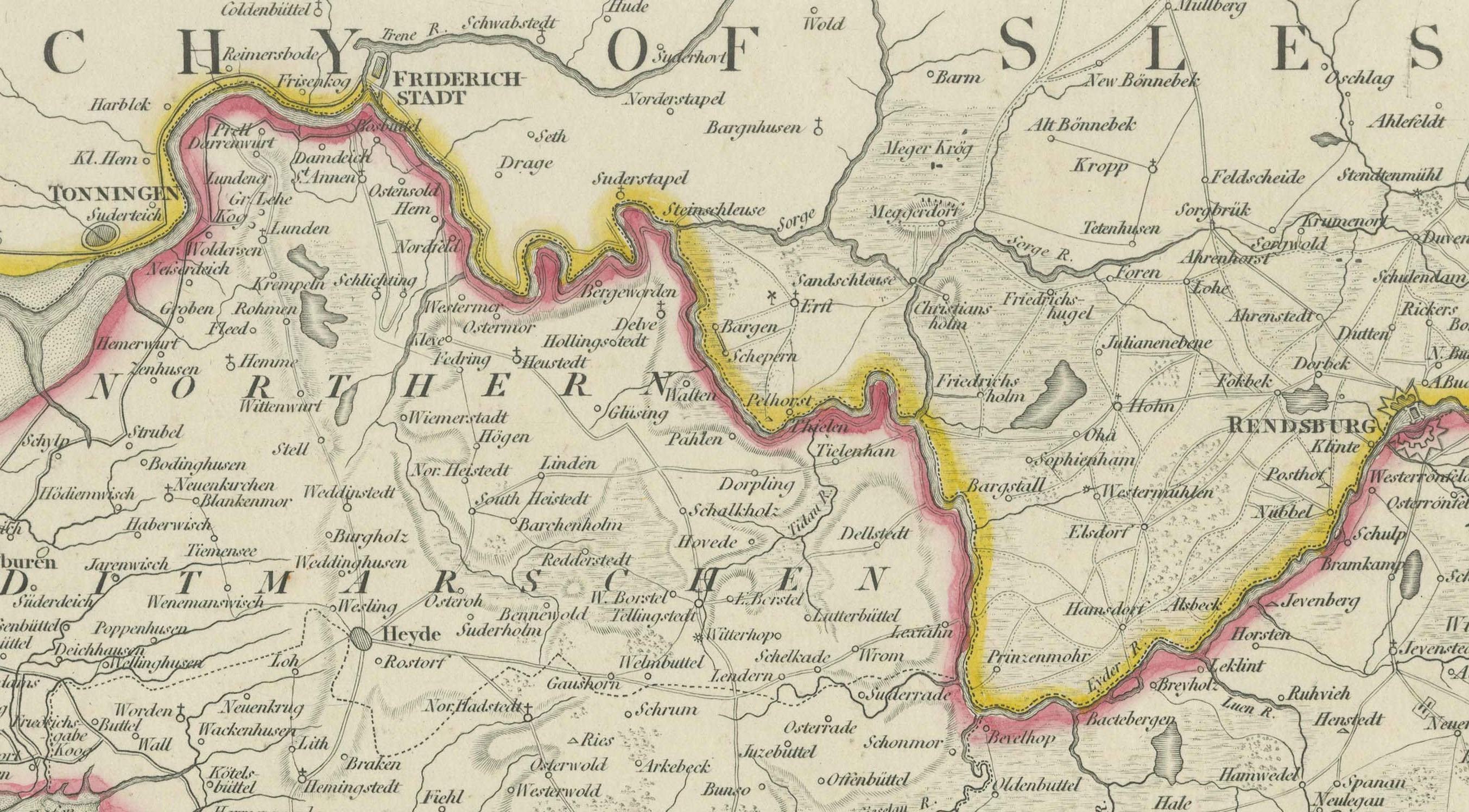
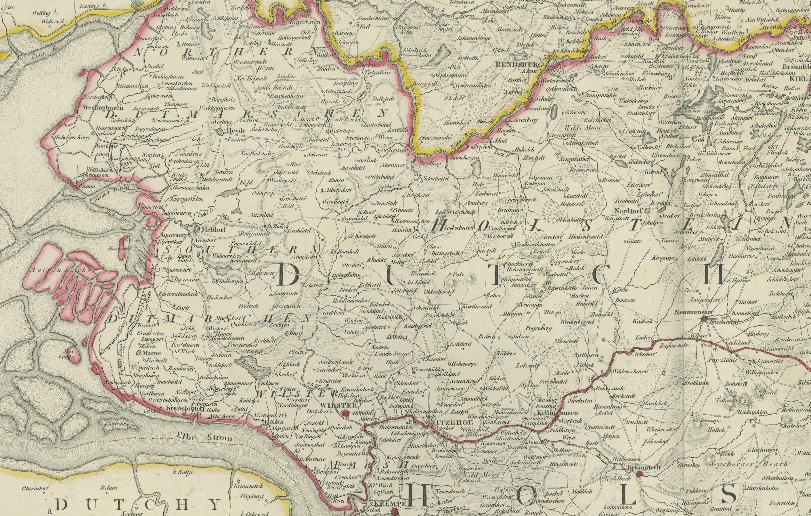
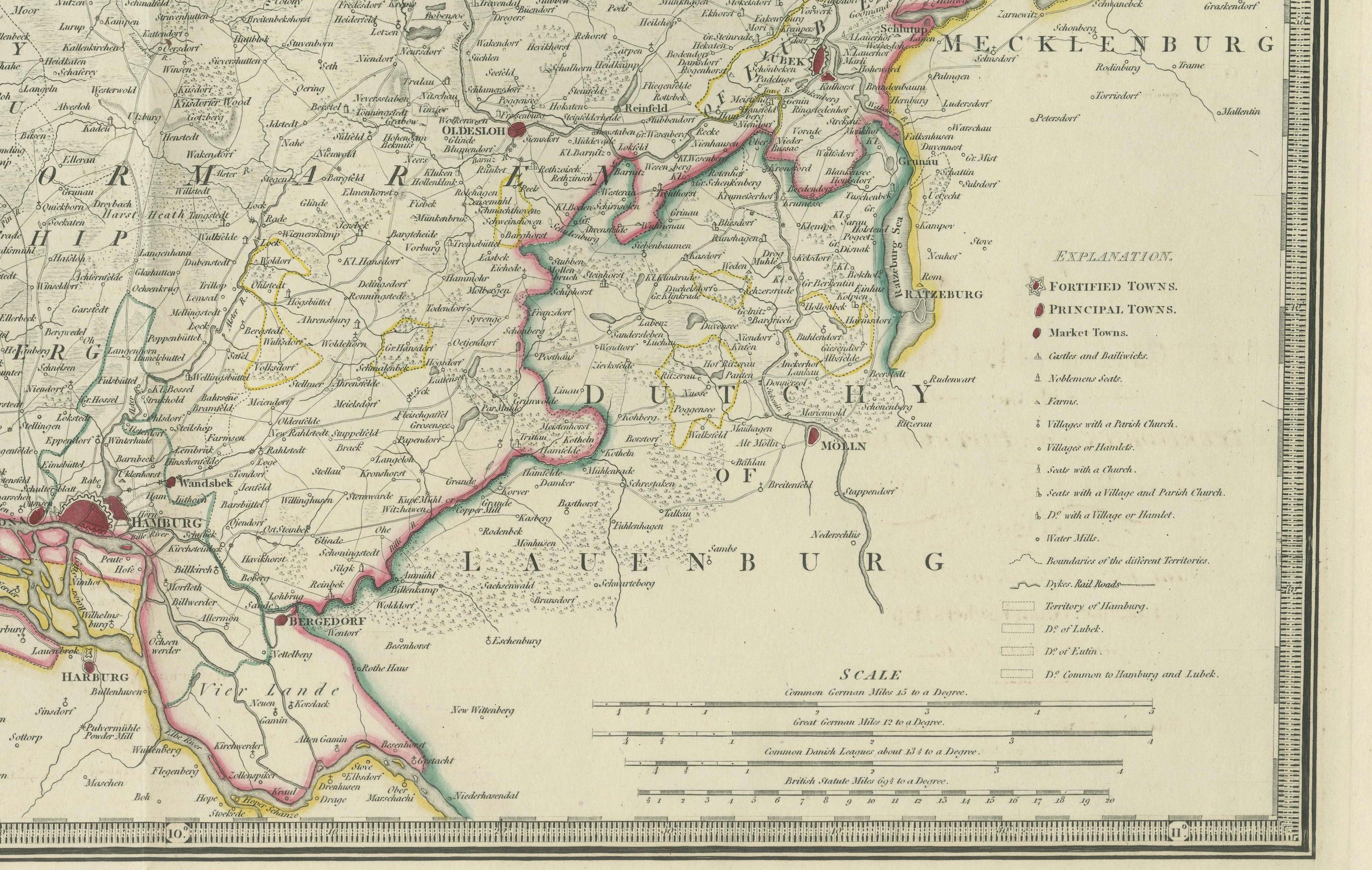
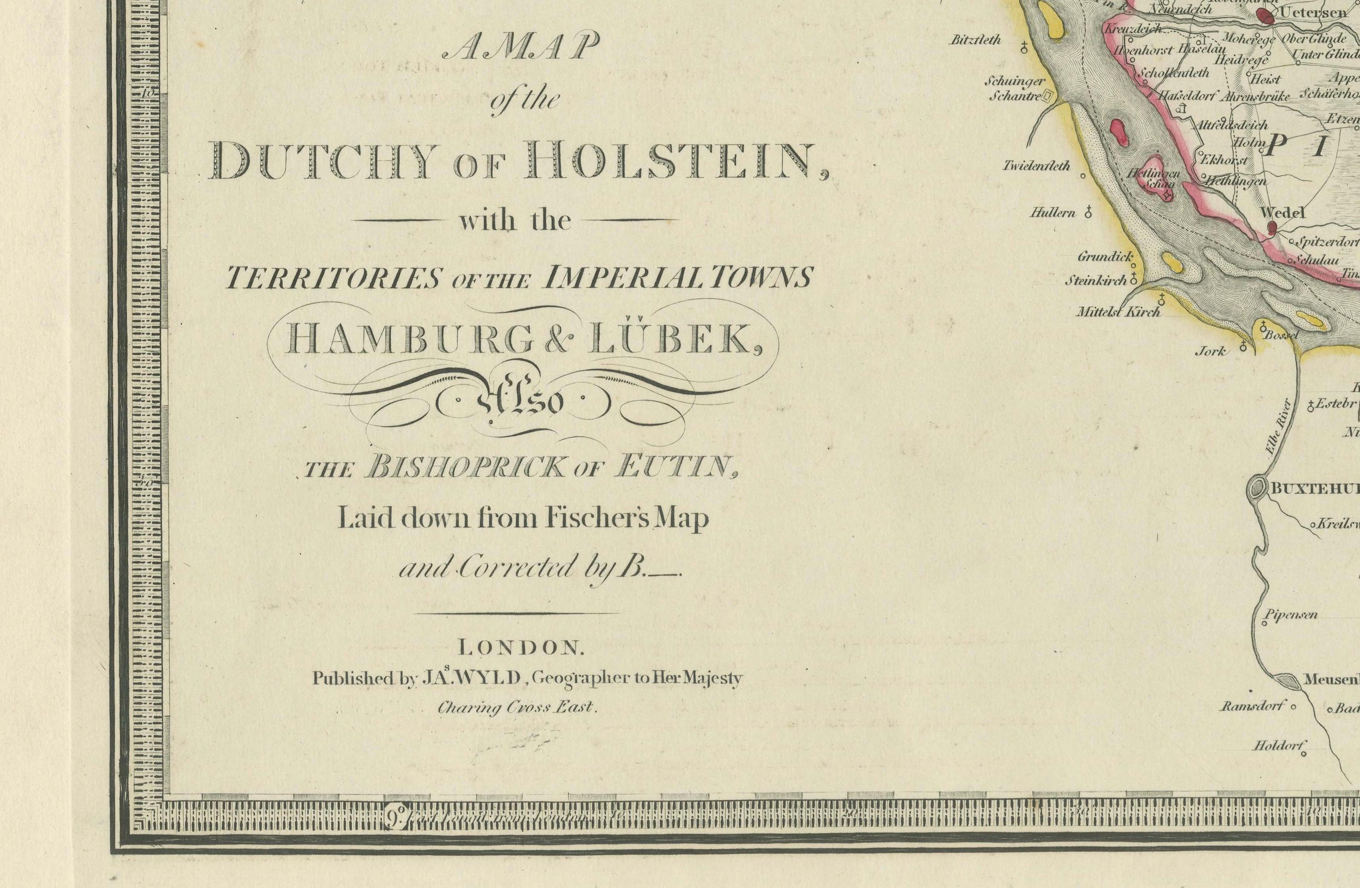
This is an antique map titled "A Map of the Dutchy of Holstein, with the Territories of the Imperial Towns Hamburg & Lübek, and the Bishoprick of Eutin." It was published by James Wyld, a well-known cartographer of the 19th century, in London. The map, based on Fischer's earlier work and corrected by B., shows detailed geographical information about the Dutchy of Holstein, with focus on the Imperial Towns of Hamburg and Lübek. This particular edition is likely from around 1875, printed on very sturdy paper typical of the period, and features finely engraved details along with attractive coloring, highlighting the different territories and regions.
James Wyld was one of the most prominent British cartographers of the 19th century, often known for acquiring and updating earlier maps. It is likely that Wyld's name appears on this map because he either purchased the rights to Fischer's original plates or reprinted and corrected the map for his publishing series. Wyld’s updates allowed this map to stay relevant and useful for contemporary audiences by adding new geographical details.
Condition Report: The map is in excellent condition for its age, printed on sturdy paper. There is minor toning consistent with its age but otherwise free from tears, stains, or significant folds. The coloring is well-preserved, and the print remains crisp.