About this sheet
Antique Caribbean Island Group Panorama 1888 Dutch West Indies Seascape
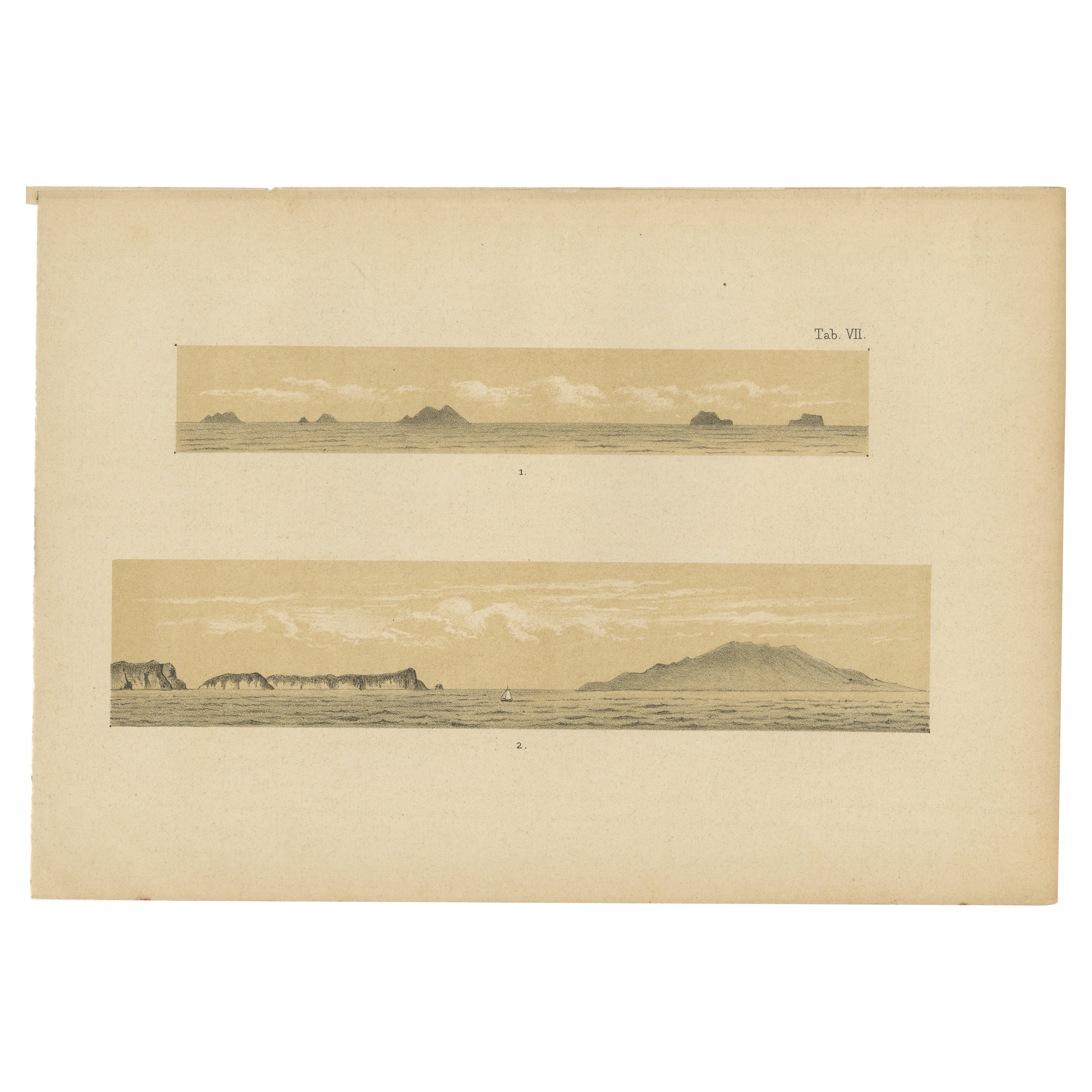
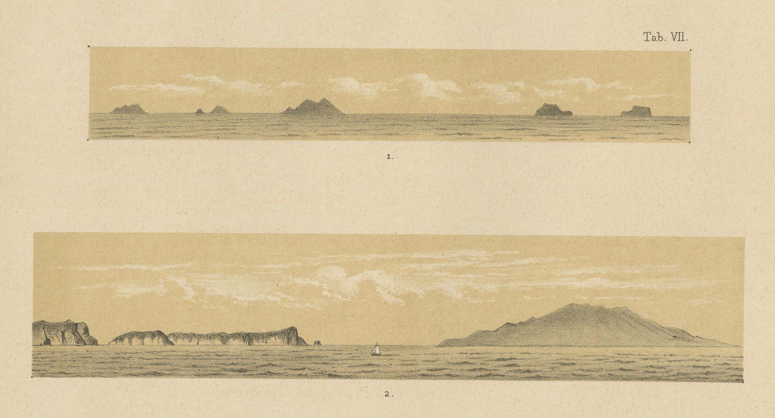
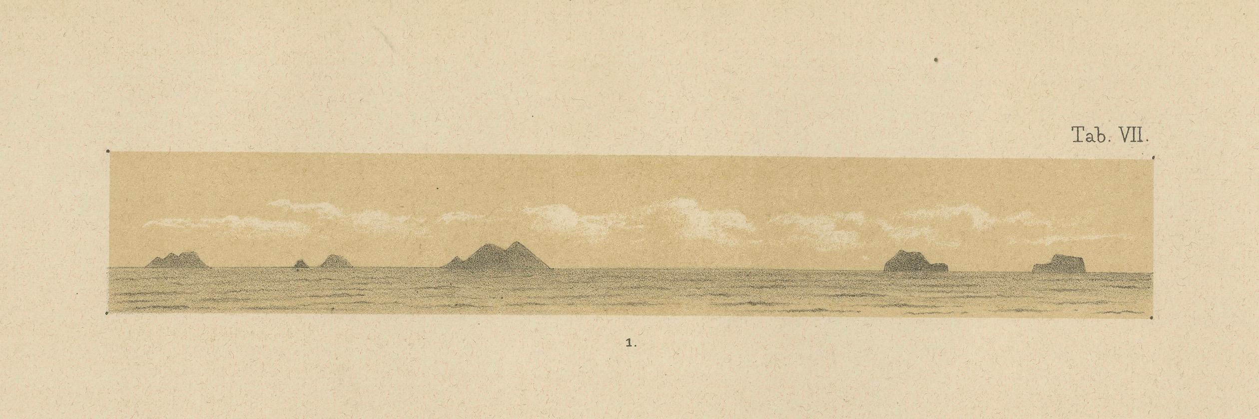
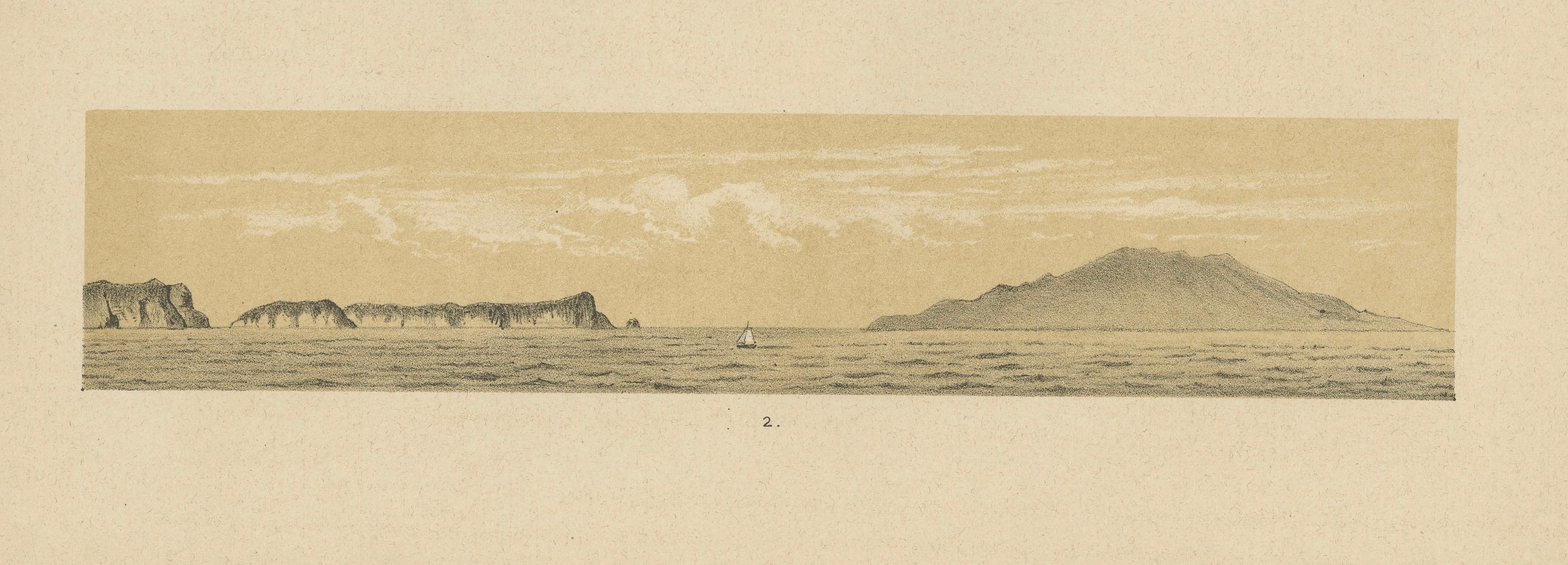
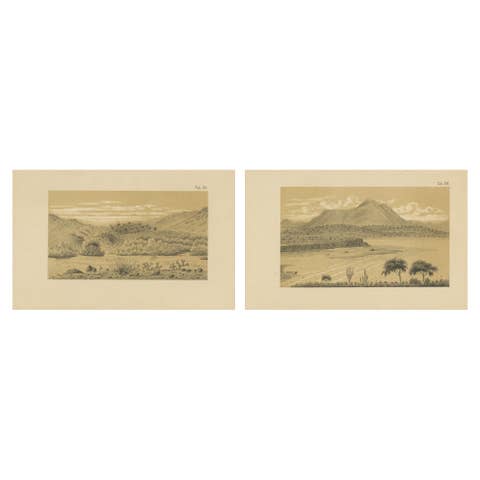
This refined panoramic seascape plate was published in 1888 as part of Karl Martin’s important scientific and travel documentation of the Dutch West Indies and the southern Caribbean. The image presents two wide horizontal coastal and island profiles, depicting a remote island group situated between Trinidad and the Venezuelan mainland. These waters formed a crucial maritime corridor between the Caribbean and South America during the 19th century.
The upper panorama shows distant rocky islands rising low from the sea, while the lower scene presents a more dramatic coastal silhouette with higher landforms, cliffs, and a solitary sailing vessel crossing the foreground. This subtle maritime detail adds scale and atmosphere, emphasizing the vastness of the Caribbean Sea and the isolation of these island formations. Such profile views were used both for navigational reference and for geological observation.
Martin’s publications combined scientific precision with a strong visual sensibility. These panoramic plates were created to illustrate the shape, structure, and relative height of landmasses as seen from the open sea. The restrained hand coloring in warm sepia tones, soft blues, and delicate cloud formations gives the print a calm, atmospheric quality that works exceptionally well in interior settings.
Because these islands lie between the Caribbean archipelago and the South American continent, the plate also reflects the geopolitical and maritime importance of this region during the colonial era. Such views are far less common than standard harbor scenes or city views and are increasingly appreciated by collectors of Caribbean exploration, maritime history, and Dutch colonial imagery.
This is an excellent piece for collectors of:
– Caribbean maritime history
– Dutch West Indies exploration
– South American coastal mapping
– 19th-century scientific travel imagery
– Panoramic seascape prints
Condition report:
Good original condition. Light overall age toning throughout the sheet. Very minor scattered foxing visible in the margins. No tears or losses observed. Image areas remain clean and well preserved.
Framing tips:
This plate looks particularly elegant in a wide horizontal frame in natural oak, walnut, or soft black with a warm ivory or light sand-colored passe-partout. A museum-style float mount will further enhance the panoramic character.
Technique: Tinted lithograph
Maker: Karl Martin, Leiden, 1888
SEO keyword block:
Caribbean island panorama, antique Caribbean seascape, Dutch West Indies print, Trinidad Venezuela islands map view, Karl Martin Caribbean, 19th century island profile, colonial Caribbean exploration, antique maritime panorama, South American coastal islands print, Dutch colonial seascape