About this sheet
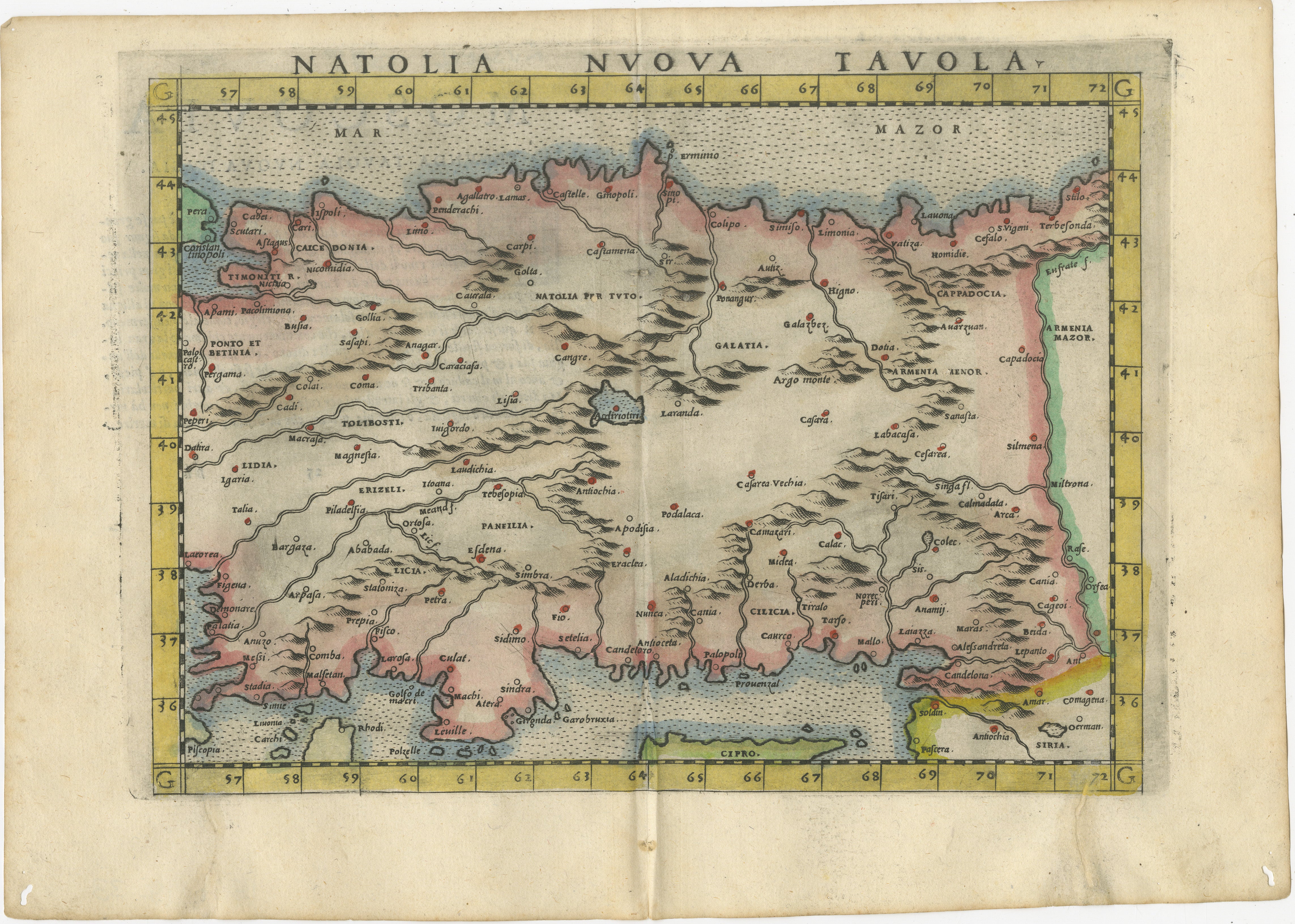
A refined and highly decorative Renaissance map of Asia Minor, titled *Natolia Nuova Tavola*, presenting the classical and early modern geography of Anatolia in a compact yet visually powerful composition. Produced in Italy around 1600 and engraved in the elegant style of the late 16th-century Venetian atlas tradition, this map reflects the enduring influence of Giacomo Gastaldi and his successors, whose work defined Italian cartography at the dawn of the modern age.
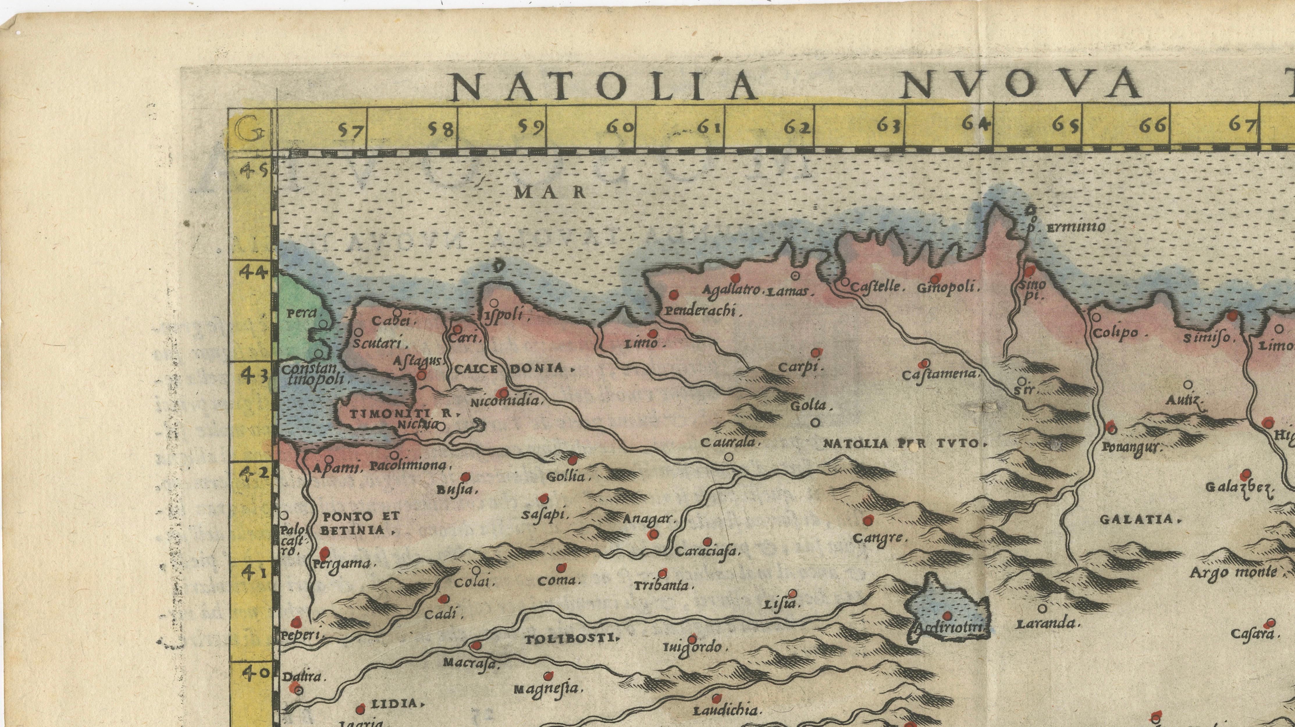
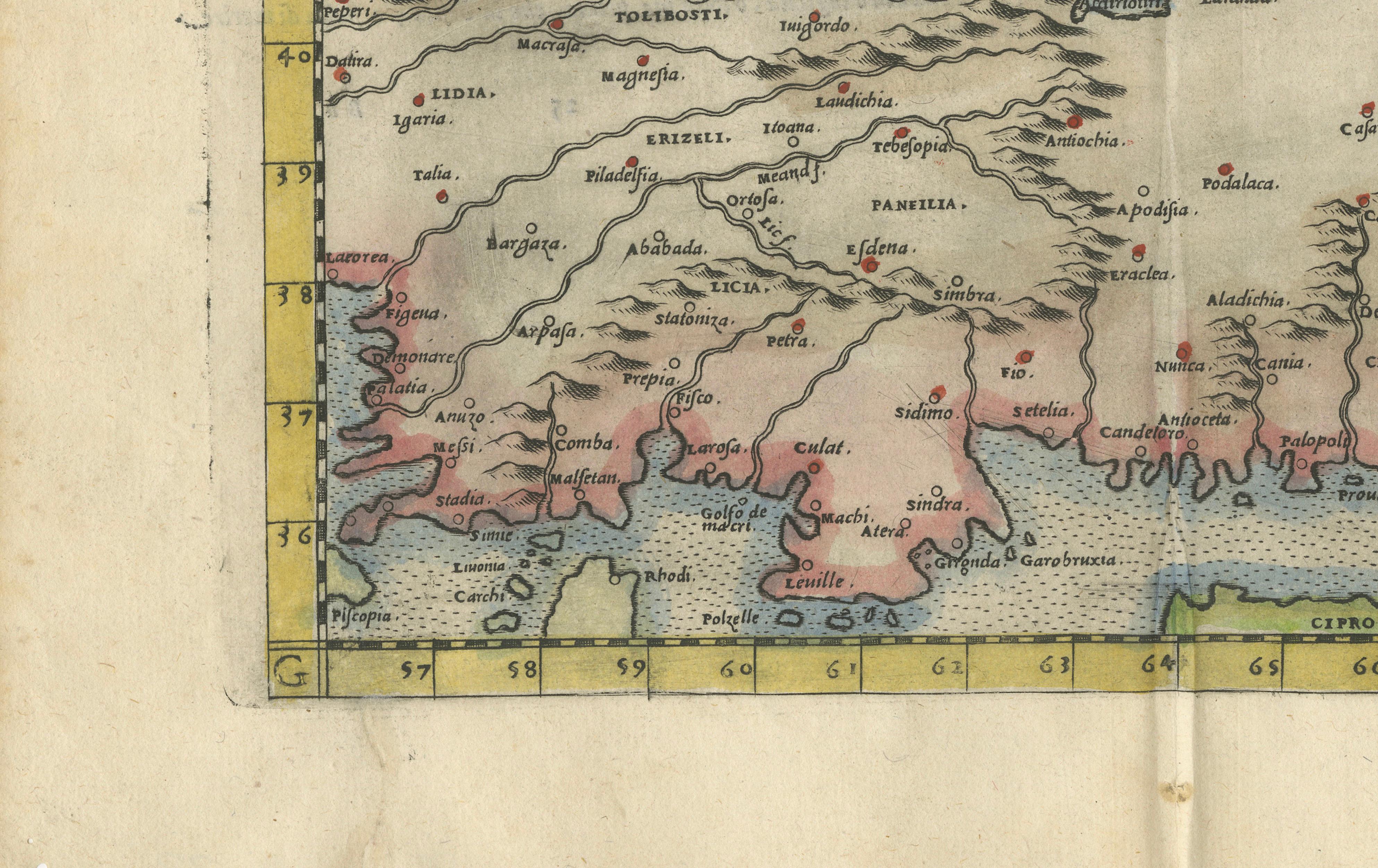
The map captures the full breadth of Anatolia from the Aegean coastline to Armenia, with Cyprus prominently depicted to the south and the Black Sea forming the northern boundary. Ancient regions such as Galatia, Cappadocia, Cilicia, and Armenia Minor are carefully delineated, blending classical geographical knowledge with Renaissance interpretation. The interior is richly animated with stylized mountain ranges, rivers, and settlements, all engraved with remarkable clarity and balance.
Particularly striking is the bold grid border framing the map, a hallmark of early Italian atlas design, which lends the composition both structure and decorative appeal. The original hand-coloring enhances this effect, with soft washes of red, green, and yellow delineating regions and coastlines, creating a harmonious and visually engaging object that translates exceptionally well to both traditional and contemporary interiors.
Maps of this type were typically included in Italian editions of Ptolemaic or composite atlases, where classical geography was reinterpreted for a Renaissance audience. As such, this piece occupies a fascinating intersection between antiquity and early modern scholarship, making it especially desirable for collectors of early cartography and classical history.
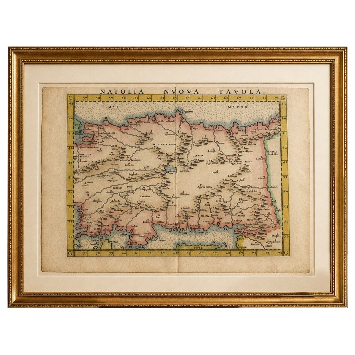
This is an original antique engraving, not a reproduction. All items we offer are authentic period works of art over 100 years old. The map is sold unframed; any framed images are shown for presentation and interior inspiration only and may not always be to scale.
Condition: Good overall condition for a map of this age, with a visible central fold as issued. Light age-related toning and some marginal staining, particularly toward the lower edge. The engraving remains crisp and the original hand-coloring well preserved. Minor wear consistent with handling and age.
Framing tips: This map benefits from a museum-quality presentation. A dark walnut or ebonized frame paired with a wide ivory or warm off-white mat will highlight both the engraving and the original hand-coloring. For a more refined collector’s display, consider a gilded or antique gold frame to echo the Renaissance origins of the piece and enhance its decorative presence.
Keywords: Renaissance map, Anatolia map, Asia Minor, Natolia Nuova Tavola, Italian atlas, Gastaldi, Ruscelli, Magini, Cyprus, Cappadocia, Galatia, Cilicia, Armenia, Black Sea, antique map, 16th century cartography, hand colored engraving, early atlas map, classical geography
Technique: Copperplate engraving
Maker: Italian School, after Gastaldi, circa 1598